Giewont
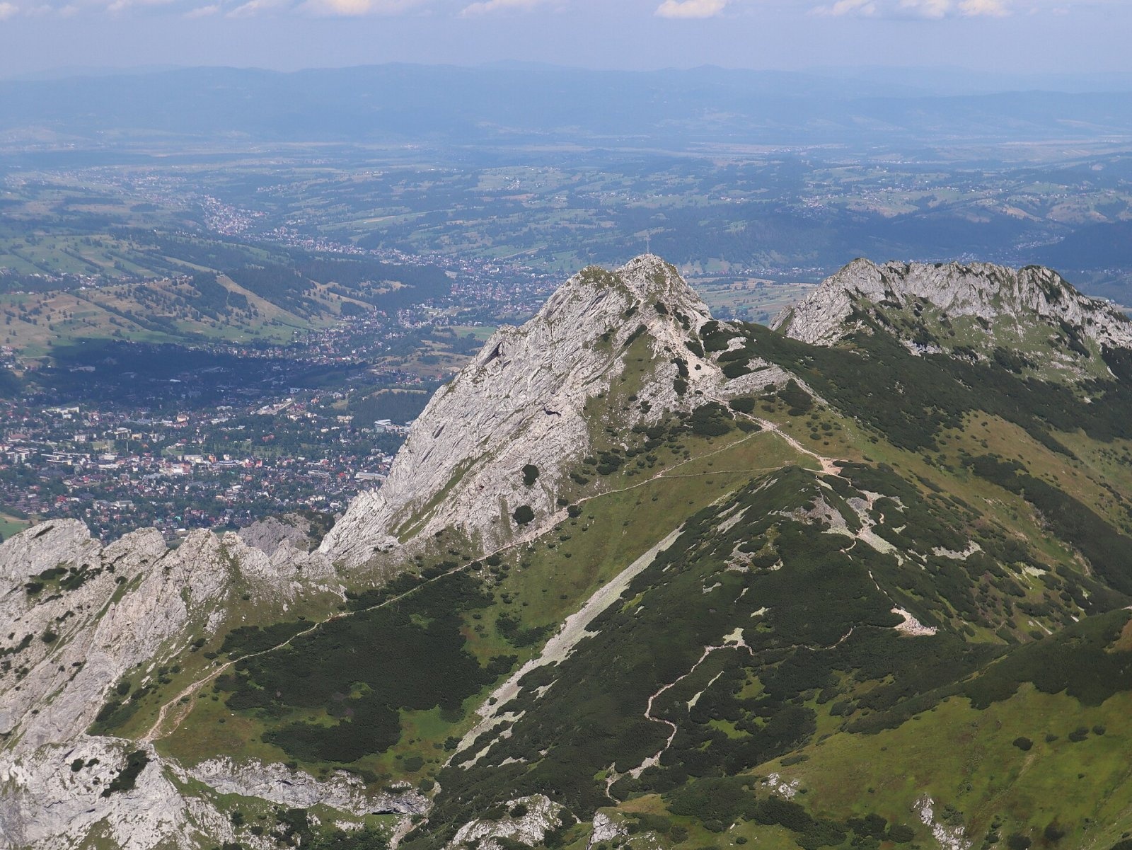
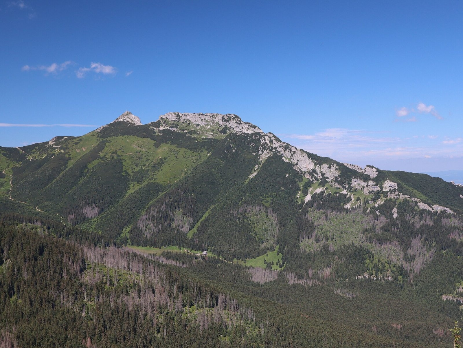
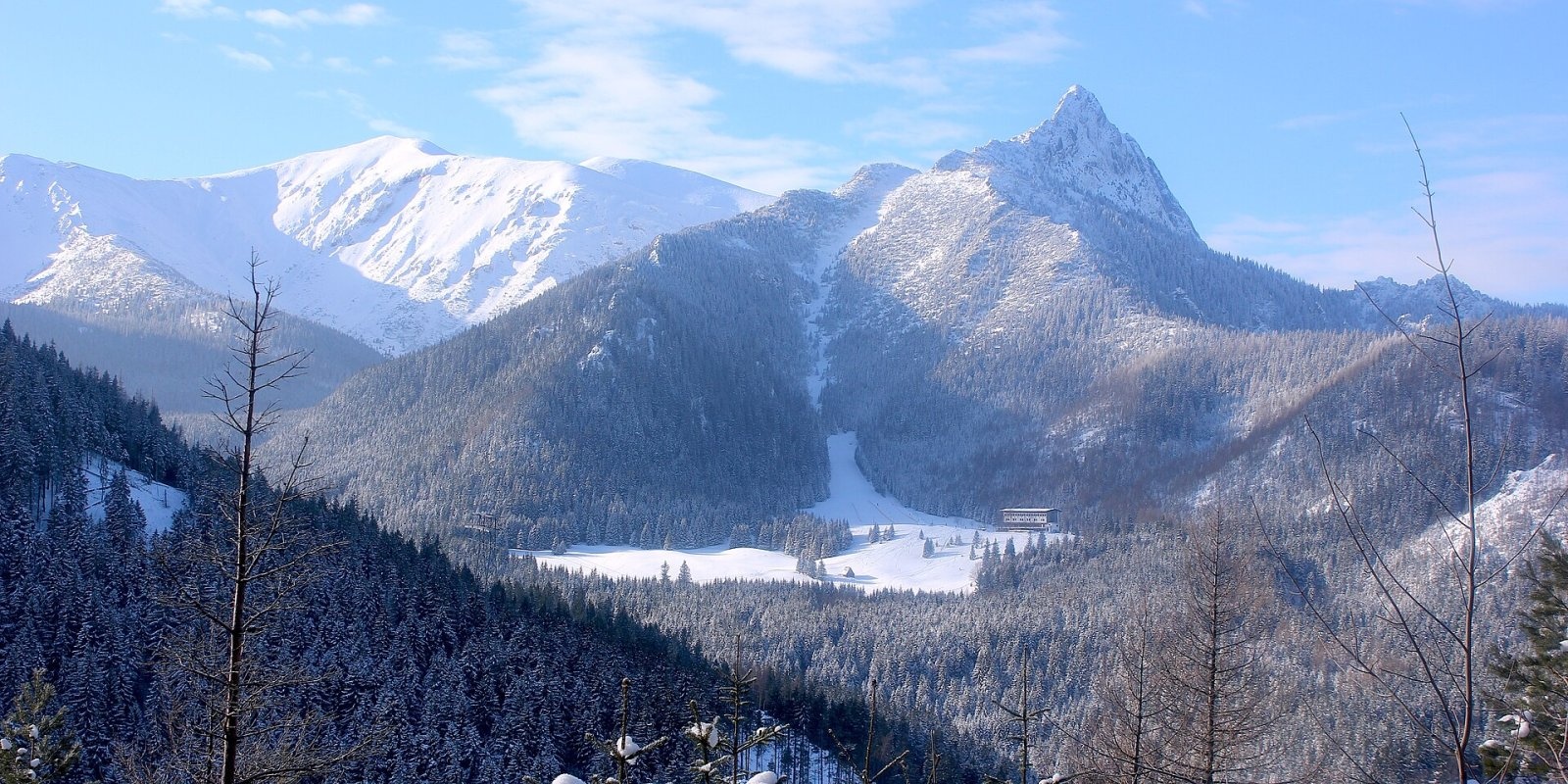
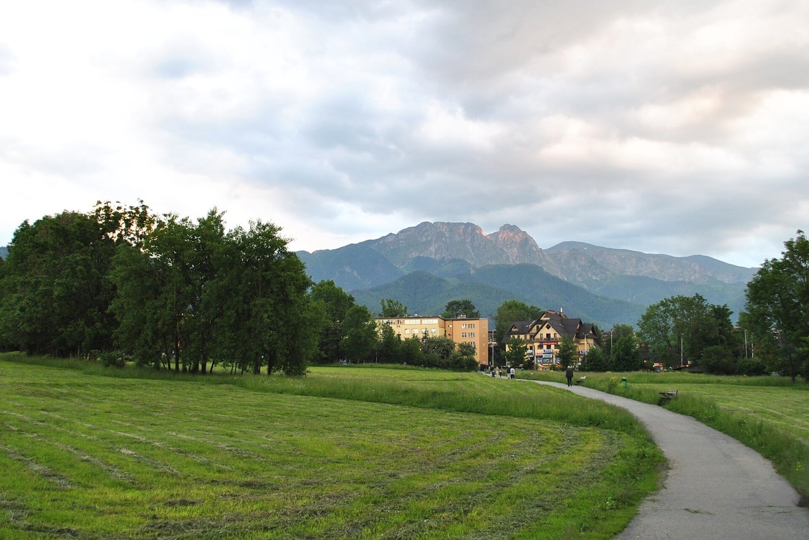
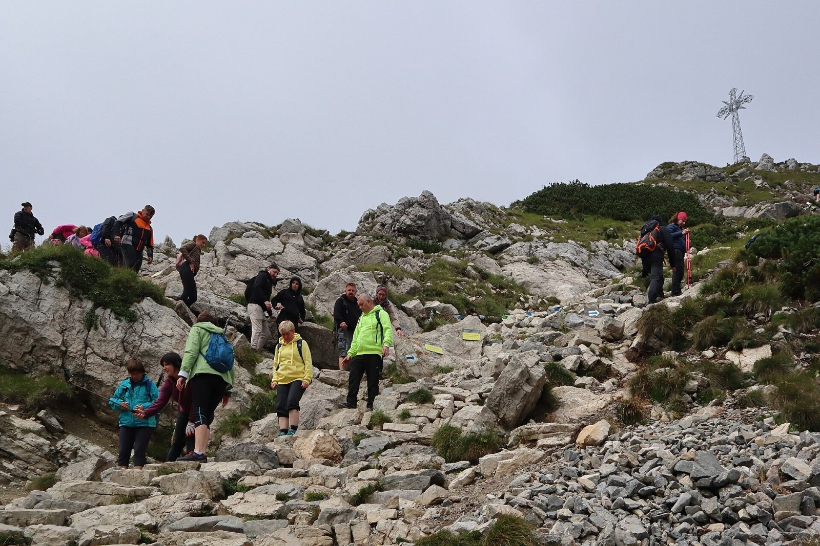
Giewont is a 1,895 m mountain massif in the Western Tatras, towering over Zakopane. Its main summit, Wielki Giewont, is usually regarded as the highest peak of the Western Tatras lying entirely in Poland (Twarda Kopa in the Czerwone Wierchy is higher but has too little prominence). The massif is about 2.7 km long and has three parts — Wielki Giewont (1,895 m), Mały Giewont and Długi Giewont (1,868 m). The roughly 600 m north face of Wielki Giewont is clearly visible from Zakopane, whose centre lies about 5.5 km away in a straight line; Kuźnice is about 4 km away. The mountain's outline, resembling a reclining knight, is a symbol of Zakopane and the whole Podhale region, and the 15 m iron cross on the summit is a place of pilgrimage.
How to get there / routes
All routes meet near Kondracka Przełęcz below the southern slopes, from where a blue section climbs to the top (times from Polish Wikipedia, based on the hiking map):
- Blue from Kuźnice via Kalatówki, Dolina Kondratowa (past the hut on Hala Kondratowa) and Kondracka Przełęcz — about 2 h 55 min up, 2 h 15 min down.
- Red from Dolina Strążyska via Polana Strążyska and Przełęcz w Grzybowcu to Wyżnia Kondracka Przełęcz, then blue — about 3 h to the pass and 15 min more to the summit (2 h 20 min and 10 min down). The section from Przełęcz w Grzybowcu to Wyżnia Kondracka Przełęcz is closed from 1 December to 15 May, and in autumn 2026 it was under repair.
- Yellow from Gronik through Dolina Małej Łąki to Kondracka Przełęcz — about 2 h 45 min, then about 30 min more on the blue trail (2 h 05 min and 20 min down).
Up to Wyżnia Kondracka Przełęcz the route is technically easy. The final stretch below the summit is steeper and secured with chains; around the summit dome traffic is one-way, anticlockwise (seen from below, the way up is on the right). In season and good weather long queues form here.
The view from the summit
Giewont is the northernmost outpost of this part of the Tatras, so to the north Zakopane and the Podhale basin lie right below. To the south the ridge runs to Kopa Kondracka and the Czerwone Wierchy, to the south-east you see Dolina Kondratowa and Kasprowy Wierch, and further east the rocky High Tatras.
Nature and history
The massif is made mostly of Triassic, Jurassic and Cretaceous limestone and dolomite; only at Kondracka Przełęcz does gneiss appear, the tail end of the crystalline "island" stretching from Kasprowy Wierch. The beds are almost vertical, dipping about 80° to the north, and the lower north slopes hold numerous ammonites. The limestone supports a rich flora, including species rare in Poland such as field locoweed and Hoppe's cudweed. Chamois spend the winter on Giewont's walls — one of the few places in the Polish Tatras where they can survive it. The north faces lie in a strictly protected zone, so climbing is not allowed.
Sixteenth-century documents mention a copper mine called "Gyewant". The origin of the name is unclear: it may come from the German Gewand ("rock formation") or, according to Mariusz Zaruski, from the local highland surname Giewont. The first recorded ascent was made in 1830 by Franciszek Herbich and Aleksander Zawadzki, the first winter ascent by Mariusz Zaruski in 1904. In 1901 a 15 m steel cross was erected on the summit; in 2007 it was entered in the register of monuments of the Lesser Poland Voivodeship. Legend says knights sleep beneath Giewont and will wake when Poland is in danger — and the massif is indeed full of caves, among them the Cave of the Sleeping Knights. Zakopane's inhabitants once told noon by the sun standing over the notch between Wielki and Długi Giewont.
Safety, season and rules
Giewont is very dangerous in a thunderstorm: the metal cross and chains attract lightning. On 22 August 2019 lightning struck the summit dome, killing four people, including two children, and injuring more than a hundred. Check the forecast and start early so that you are down by early afternoon. Another notorious danger is Żleb Kirkora below the pass between Wielki and Mały Giewont: by 2003 more than 20 hikers had died there after leaving the trail to shorten the descent. In winter the dome ices up and crampons and experience are needed.
- Entry to Tatra National Park is paid (since 2025: 11 PLN, reduced 5.50 PLN).
- From 1 March to 30 November all park trails are closed from dusk to dawn; from 1 December to the end of February, from 22:00 to 05:00.
- Stay on marked trails; dogs and drones are not allowed. Private cars cannot drive to Kuźnice.
- Emergency numbers: TOPR 985 or +48 601 100 300, and 112. Current conditions are in the daily TPN bulletin.
Interesting facts
- The "sleeping knight" profile is best seen from the north: Długi Giewont is his torso, and the three bumps of Wielki Giewont his chin, nose and brow.
- Giewont appeared on Zakopane's town seal as early as 1875.
- In 1982, during martial law, a Solidarity banner was hung on the summit cross.
Photos: Cybularny, CC0; Cybularny, CC0; Andrzej Otrębski, CC BY-SA 4.0; Marek Mróz, CC BY 4.0; Cybularny, CC0; opioła Jerzy, CC BY-SA 3.0 — Wikimedia Commons.
Getting there from Ukraine
Border crossings
- Krakovets – Korczowa — road, 24/7
- Shehyni – Medyka — road, 24/7 Pedestrian crossing is not confirmed by the Ukrainian border service — check dpsu.gov.ua before the trip.
- Smilnytsia – Krościenko — road, 24/7
- Hrushiv – Budomierz — road, 24/7
- Mostyska – Przemyśl (rail) — rail, 24/7
By car
Lviv – Zakopane ≈421 km, ≈5 h 10 min without border queues. Route: M-10 Lviv – Krakovets → Krakovets – Korczowa checkpoint → A4 motorway (Rzeszów – Tarnów – Kraków) → Kraków southern bypass → S7/DK7 → DK47 ('Zakopianka') via Nowy Targ → Zakopane. The A4 Katowice – Kraków section (Balice and Mysłowice toll plazas) is tolled, but this route does not use it. In summer and at weekends the DK47 near Zakopane is often congested.
Checked 23.10.2026; border crossing hours and timetables change — check before you travel.
Location on the map
Comments
Trails nearby
All trails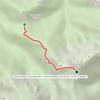 EasyOne-dayMarkedPass in Grzybowiec Wyżnia Kondracka PassElevation profile1 321–1 769 m2.3 kmascent 426 m≈ 1.5 h walkingunder 1 km from Giewont
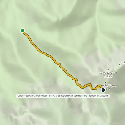 EasyOne-dayMarkedRówienki Kondracka PassElevation profile1 164–1 720 m3.1 kmascent 537 m≈ 2 h walkingunder 1 km from Giewont
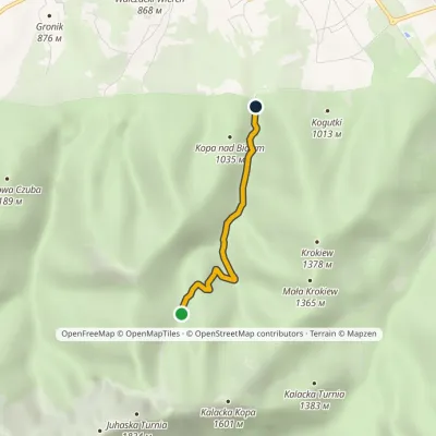 EasyOne-dayMarkedLas Białego Hala BiałeElevation profile925–1 219 m2.5 km≈ 45 min walking1.5 km from Giewont
Nearby attractions
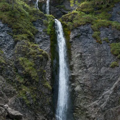 WaterfallSiklawica Waterfallunder 1 km from GiewontSiklawica (also Siklawica Strążyska) is a waterfall in the Western Tatras, in the upper part of the Strążyska Valley (strictly speaking in its branch called Mała...
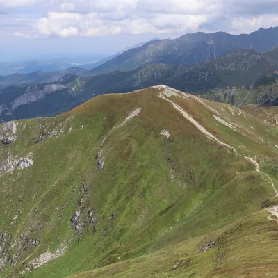 PeakKopa Kondrackaaltitude 2 005 m1.6 km from GiewontKopa Kondracka (Slovak: Kondratova kopa) is a 2,005 m peak on the main ridge of the Tatras, on the border between Poland and Slovakia.
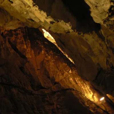 NatureMroźna Cave4.6 km from GiewontMroźna Cave is the best-known show cave in the Polish Tatras. It lies on the eastern slope of the Kościeliska Valley, in the Organy massif, about 120 m above the...
Craft nearby
All craft places Koliby & Hutsul cuisineBąkowo Zohylina Wyźnio Highland Tavern4.3 km from GiewontBąkowo Zohylina Wyźnio is a regional highland tavern in Zakopane housed in a wooden "szałas" (shepherd-hut-style building) with a view of the Tatras.
 Cheese dairies & pasturesFurtek's Shepherd's Huts, Kuźnice and Kalatówki4.3 km from GiewontAbove Kuźnice — the southern edge of Zakopane where most hikes into the Western and High Tatras begin — the flocks are tended by baca Andrzej Staszel, nicknamed "Furtek".
 Cheese dairies & pasturesShepherd's Hut in the Kościeliska Valley5 km from GiewontJózef Słodyczka's bacówka (shepherd's hut) on the Wyżnia Kira Miętusia glade is probably the most easily reached shepherds' hut in the Polish Tatras.
 Markets & fairsMarket under Gubałówka5.3 km from GiewontThe market under Gubałówka (Targ pod Gubałówką) is Zakopane's best-known bazaar and probably the most photographed row of stalls in the Polish Tatras.
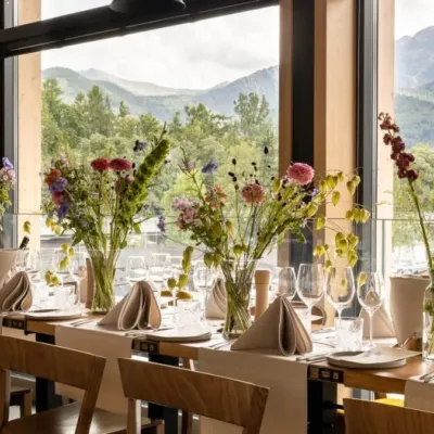 Craft beer & breweriesGwarno Restaurant & Brewery, Zakopane5.4 km from GiewontGwarno is a restaurant with its own small brewery at the foot of Gubałówka in Zakopane. It stands on Na Gubałówkę street right next to the lower station of the...
 Water parks & thermal poolsTermy Zakopiańskie (Aqua Park Zakopane)5.4 km from GiewontTermy Zakopiańskie is a thermal water park right in Zakopane, on Jagiellońska Street, only a kilometre from Krupówki.
