Rówienki – Kondracka Pass
Trail map
Route, springs and shelters: © OpenStreetMap contributors (ODbL) · elevation: Copernicus DEM © DLR e.V., © Airbus DS · Data & licences
About the trail
Route Rówienki – Kondracka Pass. Has yellow marking (regional route). Waymarking data: OpenStreetMap (© OpenStreetMap contributors, ODbL).
Officially marked regional tourist route. The marking is yellow, the sign is a horizontal stripe on a white background. The length of the route is 3.1 km. Location: mountain range — Western Tatras, Poland. The route is in the Tatra National Park (TPN): entrance is paid (tickets online or at the ticket offices), from March 1 to November 30, trails can only be walked from dawn to dusk.
At a glance
A short route of 3.1 km with 553 m of ascent from Rówienki to Kondracka Pass. Estimated walking time: about 1.5 h, not counting stops. Difficulty: moderate. Waymarking: yellow.
Route stages
- 0–3 kmClimb of 530 m to Mnich Małołącki
Steepest kilometre: km 2–3, a climb of 310 m (≈31%), near Mnich Małołącki.
Water and overnight stays
Our map shows no springs near the trail — bring your own water (at least 1 l).
When to go
Best time: June to September. In winter only for experienced hikers with proper gear: avalanche danger is possible.
Getting there
Start: Rówienki. This is a one-way route: the finish is 3 km from the start in a straight line, so plan your way back in advance.
FAQ
- How long does the route take?
- Estimated walking time: about 1.5 h, not counting stops.
- Is there water on the route?
- Our map shows no springs near the trail — bring your own water (at least 1 l).
Comments
Trails nearby
All trails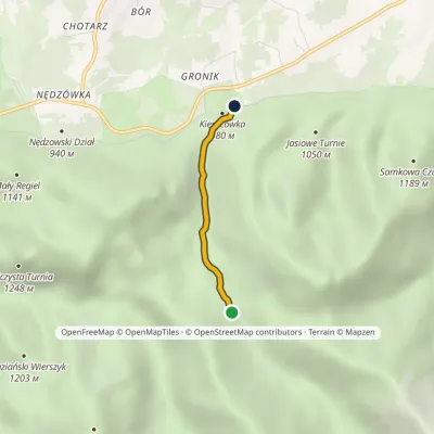 EasyOne-dayMarkedGronik RówienkiElevation profile939–1 170 m2.1 kmascent 3 m≈ 30 min walking
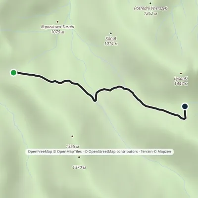 EasyOne-dayMarkedPrzysłop Miętusi Przełęcz w GrzybowcuElevation profile1 167–1 342 m2.1 kmascent 166 m≈ 45 min walking
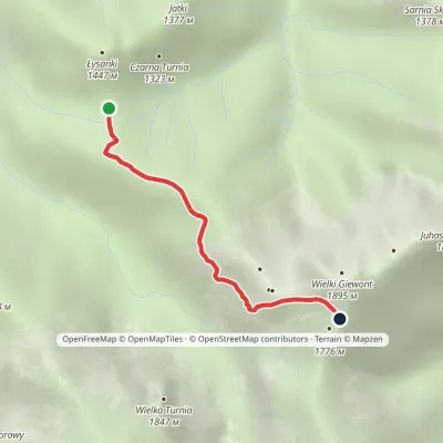 ModerateOne-dayMarkedPass in Grzybowiec Wyżnia Kondracka PassElevation profile1 321–1 769 m2.3 kmascent 448 m≈ 1.5 h walking
Craft nearby
All craft places Cheese dairies & pasturesShepherd's Hut in the Kościeliska Valley2.7 km from the trailJózef Słodyczka's bacówka (shepherd's hut) on the Wyżnia Kira Miętusia glade is probably the most easily reached shepherds' hut in the Polish Tatras.
 Koliby & Hutsul cuisineBąkowo Zohylina Wyźnio Highland Tavern5.1 km from the trailBąkowo Zohylina Wyźnio is a regional highland tavern in Zakopane housed in a wooden "szałas" (shepherd-hut-style building) with a view of the Tatras.
 Markets & fairsMarket under Gubałówka5.2 km from the trailThe market under Gubałówka (Targ pod Gubałówką) is Zakopane's best-known bazaar and probably the most photographed row of stalls in the Polish Tatras.
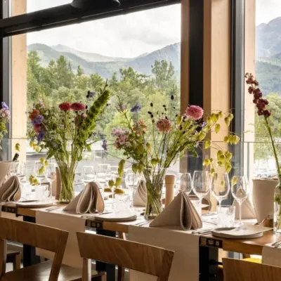 Craft beer & breweriesGwarno Restaurant & Brewery, Zakopane5.3 km from the trailGwarno is a restaurant with its own small brewery at the foot of Gubałówka in Zakopane. It stands on Na Gubałówkę street right next to the lower station of the...
 Cheese dairies & pasturesFurtek's Shepherd's Huts, Kuźnice and Kalatówki5.9 km from the trailAbove Kuźnice — the southern edge of Zakopane where most hikes into the Western and High Tatras begin — the flocks are tended by baca Andrzej Staszel, nicknamed "Furtek".
 Water parks & thermal poolsTermy Zakopiańskie (Aqua Park Zakopane)5.9 km from the trailTermy Zakopiańskie is a thermal water park right in Zakopane, on Jagiellońska Street, only a kilometre from Krupówki.
