Krzesanica
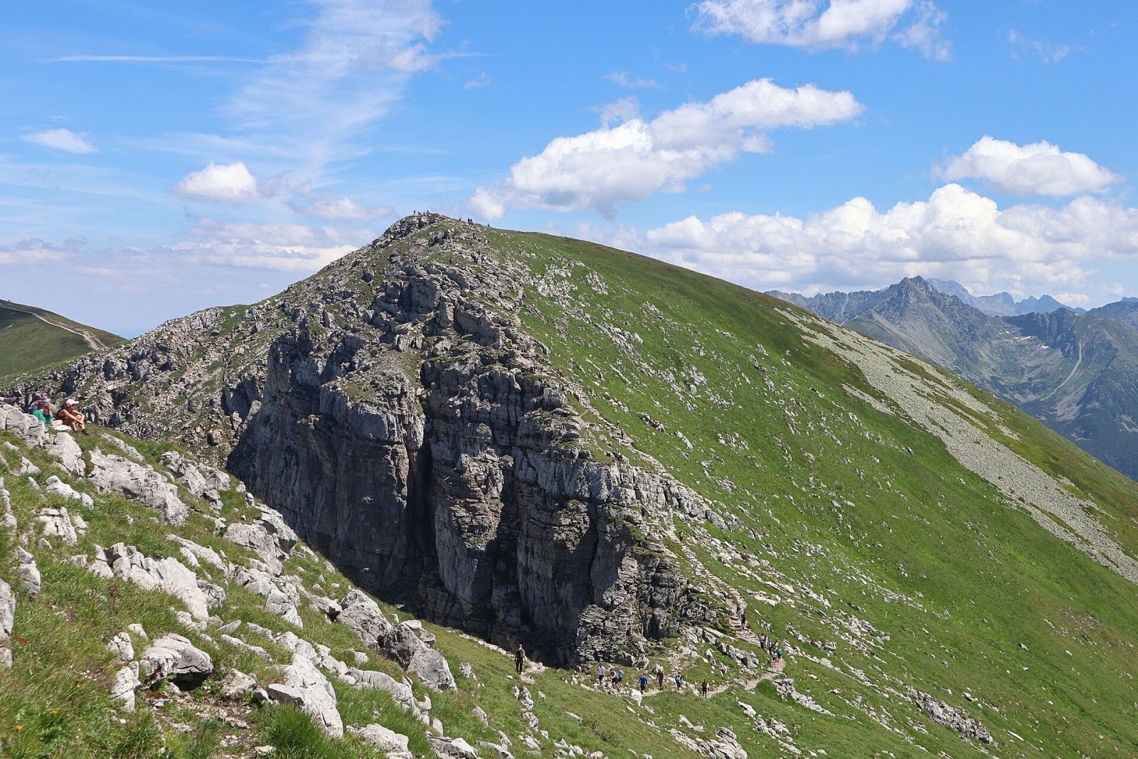
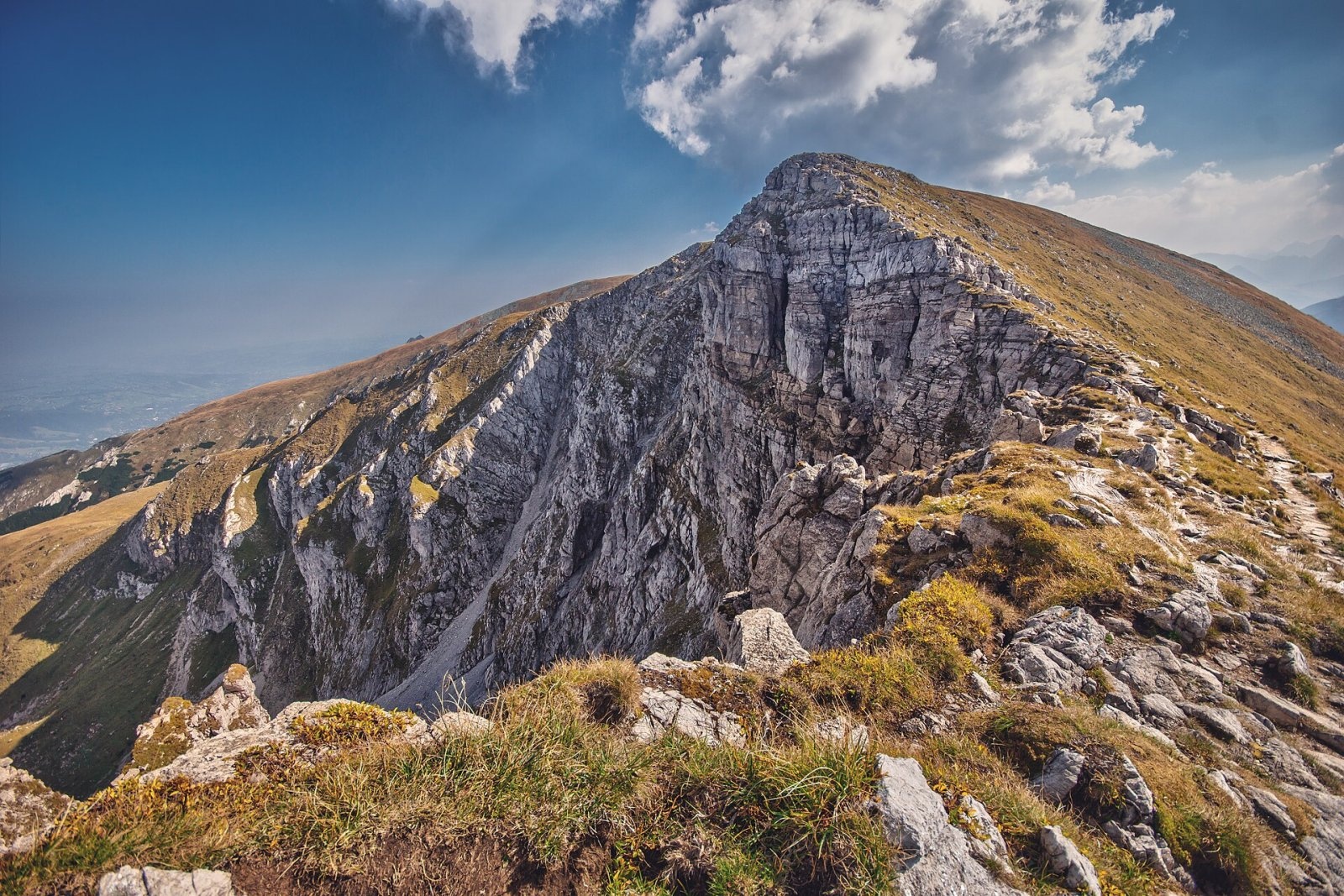
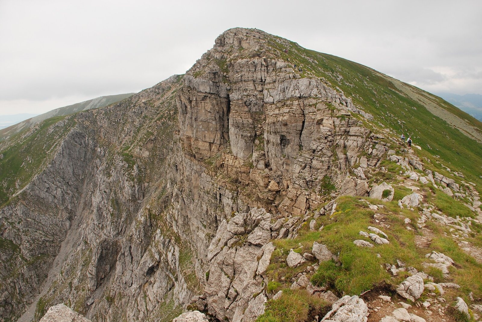
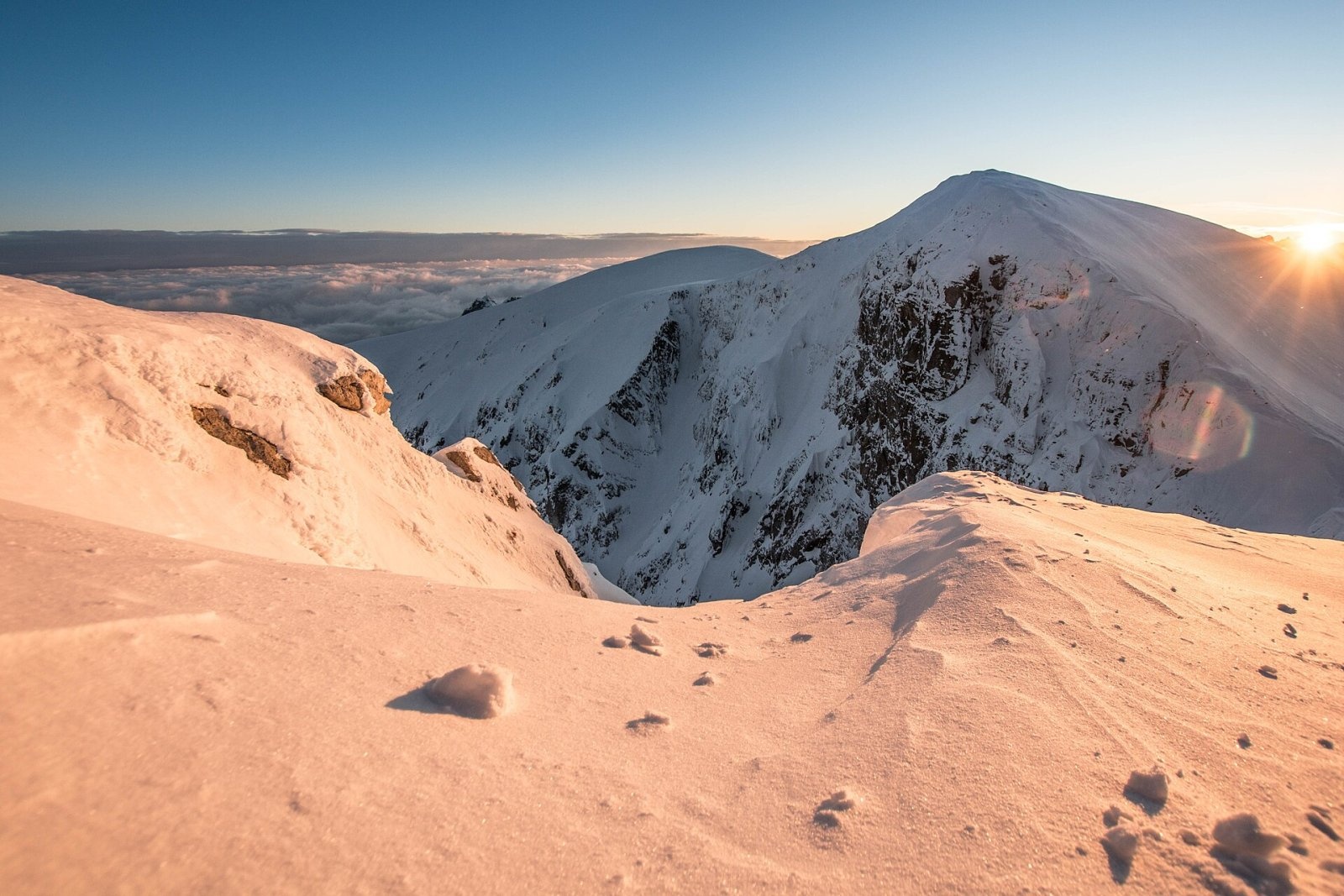
Krzesanica (Slovak: Kresanica) is a 2,122 m peak on the main ridge of the Western Tatras, on the border between Poland and Slovakia. It is the highest of the four Czerwone Wierchy summits and the highest limestone peak in Poland. Krzesanica rises above the Polish Miętusia valley to the north and the Slovak Tichá valley to the south; to the east, beyond the Litworowa pass, stands Małołączniak, and to the west, beyond the Mułowa pass, Ciemniak. The hamlet of Kiry at the mouth of the Kościeliska valley is about 6 km away as the crow flies, and the centre of Zakopane about 8 km. With a prominence of about 323 m, Krzesanica is one of the most prominent peaks in the Tatras. It lies in the TPN (Poland) and TANAP (Slovakia) national parks, and its southern slopes belong to the Tichá dolina reserve.
How to get there: routes
- Red ridge trail along Czerwone Wierchy — from the Kościeliska valley over Ciemniak to Krzesanica and on via Małołączniak and Kopa Kondracka to Kasprowy Wierch. From Ciemniak to Kopa Kondracka over the summit takes about 1 h 05 min (1 h 15 min the other way).
- From Kiry — according to Czech sources the easiest approach: to Cudakowa Polana in the Kościeliska valley, then on the red trail over Ciemniak to the top; about 4 h 30 min and 1,200 m of ascent.
- Blue trail — from Kościelisko (Gronik) via Przysłop Miętusi to Małołączniak, then along the red ridge to Krzesanica.
- From Slovakia — much longer: for example from Podbanské through the Tichá valley to Suché sedlo (about 5 h 20 min), then another 3 h 40 min or so along the ridge.
What you can see from the summit
The panorama from Krzesanica has long been rated among the finest in the Western Tatras — Mieczysław Świerz, for one, said so. In 1880 Bronisław Gustawicz described it in the Geographical Dictionary of the Kingdom of Poland: Babia Góra and the Beskids far to the north; right below, the steep Miętusia valley splitting into the Mułowa and Litworowa branches; to the west the upper Kościeliska valley; to the south the long Tichá valley, Koprová beyond it and Kriváň in the distance; to the east Świnica, the Mengusovské peaks, Rysy, Gerlach and other summits of the High Tatras. Slovak sources add that in good visibility the eastern Low Tatras, Malá Fatra and the Orava Beskids can be seen as well.
Nature and history
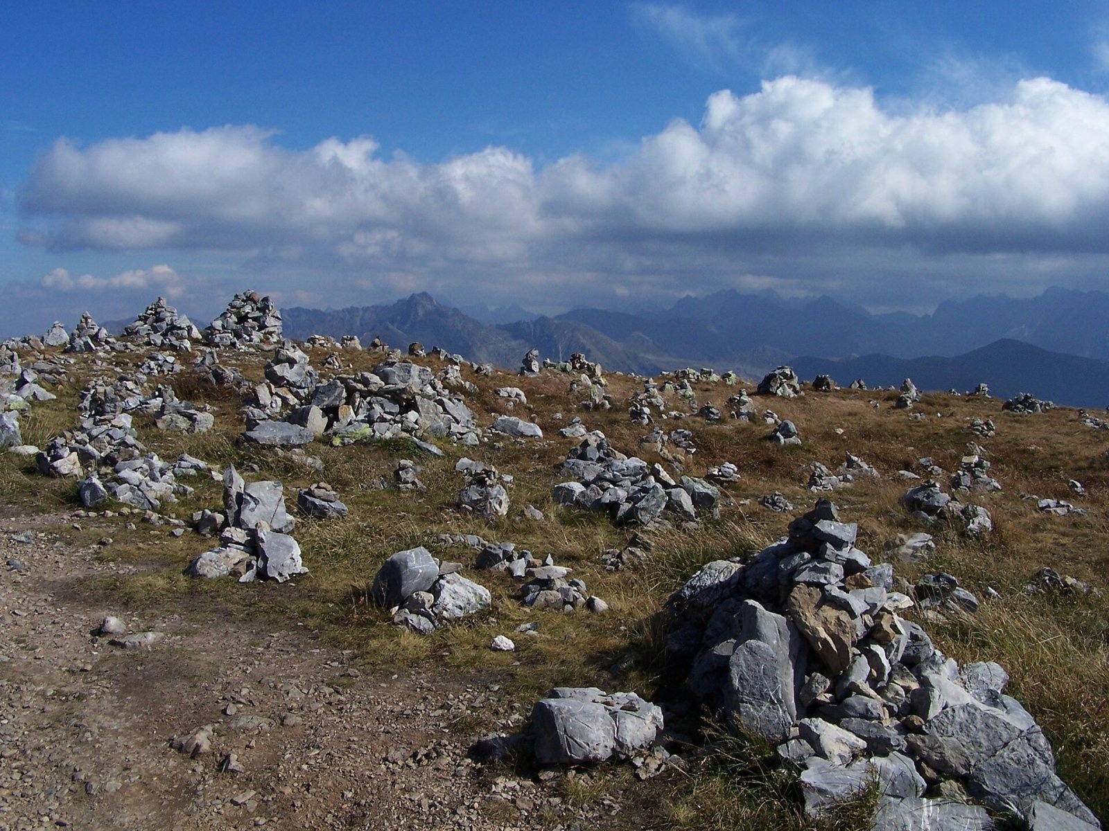
The name comes from the north face, which looks as if it had been hewn (Polish "krzesana") — the explanation given by Walery Eljasz-Radzikowski in 1891. The summit is an almost level stony platform about 100 m long. To the north it drops in a wall of about 200 m into the Mułowy cirque; to the south it falls away in a gentle grassy slope. Hikers have built numerous small cairns on the summit platform.
Krzesanica is built of Middle Triassic dolomites with limestone layers. About 50 caves have been discovered in its southern faces on the Slovak side, the deepest reaching 166 m; the entrance to Szczelina w Krzesanicy II lies at 2,110 m, making it the highest cave in the Western Tatras. There are more caves in the north face. The rock crevices host a rich lime-loving flora, including mountain avens (Dryas octopetala), the alpine pasqueflower, the alpine buttercup, the Tatra poppy and seven species of saxifrage, as well as several plants that in Poland occur only in the Tatras.
Czerwone Wierchy have long been a favourite outing from Zakopane, and Krzesanica was famous for its all-round panorama — 19th-century guidebook authors already wrote about it: Maria Steczkowska (1858), Eugeniusz Janota (1860), Walery Eljasz-Radzikowski (1870) and Karl Kolbenheyer (1876). The first recorded winter ascent took place in 1908.
Safety, season and rules
The Polish approaches lie in the Tatra National Park (TPN): there is an entrance fee, leaving marked trails is forbidden, walking on trails is banned from dusk to dawn between 1 March and 30 November, and from 1 December to the end of February trails are closed from 22:00 to 05:00. The Slovak routes (Tichá valley) belong to TANAP's high-mountain zone and are closed from 1 November to 31 May.
The broad Czerwone Wierchy ridge is technically easy but treacherous in fog, which can roll in suddenly; on the wide slopes it is easy to lose the trail — and Krzesanica's north face drops away right next to the summit platform. In winter the slopes are avalanche-prone and icy. Expect a big climb and a long descent, check the forecast and do not head onto the ridge when a storm is coming.
Emergency numbers: TOPR 985 or +48 601 100 300, general emergency number 112; in Slovakia, HZS 18 300 (+421 18 300).
Interesting facts
- Krzesanica is the highest peak in Poland built of limestone rocks.
- A cave at 2,110 m in its south face is the highest in the Western Tatras.
- A cliff near the Hala plateau on King George Island in Antarctica is named after the mountain.
Photos: Cybularny, CC0; Aneta Pawska, CC BY 3.0; Hubert Waguła, CC BY-SA 4.0; Jerzy Opioła, CC BY-SA 4.0; Maciej Kraus, CC BY 2.0; Jerzy Opioła, CC BY-SA 4.0; Jerzy Opioła, CC BY-SA 3.0 — Wikimedia Commons.
Getting there from Ukraine
Border crossings
- Krakovets – Korczowa — road, 24/7
- Shehyni – Medyka — road, 24/7 Pedestrian crossing is not confirmed by the Ukrainian border service — check dpsu.gov.ua before the trip.
- Smilnytsia – Krościenko — road, 24/7
- Hrushiv – Budomierz — road, 24/7
- Mostyska – Przemyśl (rail) — rail, 24/7
By car
Lviv – Zakopane ≈421 km, ≈5 h 10 min without border queues. Route: M-10 Lviv – Krakovets → Krakovets – Korczowa checkpoint → A4 motorway (Rzeszów – Tarnów – Kraków) → Kraków southern bypass → S7/DK7 → DK47 ('Zakopianka') via Nowy Targ → Zakopane. The A4 Katowice – Kraków section (Balice and Mysłowice toll plazas) is tolled, but this route does not use it. In summer and at weekends the DK47 near Zakopane is often congested.
Checked 23.10.2026; border crossing hours and timetables change — check before you travel.
Location on the map
Comments
Trails nearby
All trails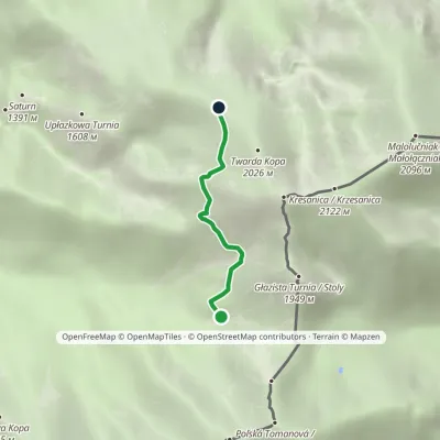 EasyOne-dayMarkedTomanowy Potok Chuda PrzełączkaElevation profile1 480–1 872 m2.4 kmascent 367 m≈ 1.5 h walkingunder 1 km from Krzesanica
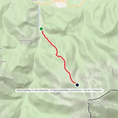 EasyOne-dayMarkedCudakowa Polana Chuda PrzełączkaElevation profile956–1 851 m3.9 kmascent 877 m≈ 2.5 h walking1.2 km from Krzesanica
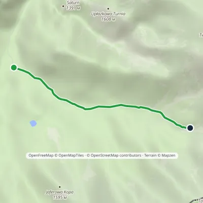 EasyOne-dayMarkedHala Ornak Tomanowy PotokElevation profile1 125–1 480 m2.9 kmascent 328 m≈ 1.5 h walking1.5 km from Krzesanica
Nearby attractions
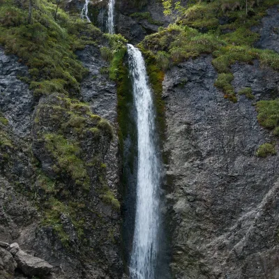 WaterfallSiklawica Waterfall3.4 km from KrzesanicaSiklawica (also Siklawica Strążyska) is a waterfall in the Western Tatras, in the upper part of the Strążyska Valley (strictly speaking in its branch called Mała...
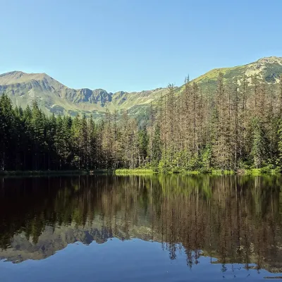 LakeSmreczyński Staw Lake3.5 km from KrzesanicaSmreczyński Staw is a small glacial lake in the upper part of the Kościeliska Valley, at the mouth of the Pyszniańska Valley, at 1,226 m.
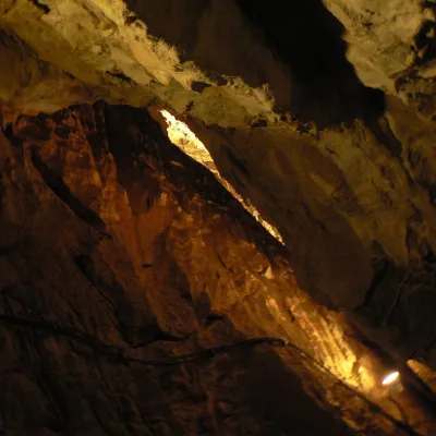 NatureMroźna Cave3.6 km from KrzesanicaMroźna Cave is the best-known show cave in the Polish Tatras. It lies on the eastern slope of the Kościeliska Valley, in the Organy massif, about 120 m above the...
Craft nearby
All craft places Cheese dairies & pasturesShepherd's Hut in the Kościeliska Valley4.9 km from KrzesanicaJózef Słodyczka's bacówka (shepherd's hut) on the Wyżnia Kira Miętusia glade is probably the most easily reached shepherds' hut in the Polish Tatras.
 Koliby & Hutsul cuisineBąkowo Zohylina Wyźnio Highland Tavern7.1 km from KrzesanicaBąkowo Zohylina Wyźnio is a regional highland tavern in Zakopane housed in a wooden "szałas" (shepherd-hut-style building) with a view of the Tatras.
 Cheese dairies & pasturesFurtek's Shepherd's Huts, Kuźnice and Kalatówki7.1 km from KrzesanicaAbove Kuźnice — the southern edge of Zakopane where most hikes into the Western and High Tatras begin — the flocks are tended by baca Andrzej Staszel, nicknamed "Furtek".
 Markets & fairsMarket under Gubałówka7.8 km from KrzesanicaThe market under Gubałówka (Targ pod Gubałówką) is Zakopane's best-known bazaar and probably the most photographed row of stalls in the Polish Tatras.
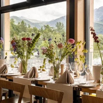 Craft beer & breweriesGwarno Restaurant & Brewery, Zakopane7.9 km from KrzesanicaGwarno is a restaurant with its own small brewery at the foot of Gubałówka in Zakopane. It stands on Na Gubałówkę street right next to the lower station of the...
 Water parks & thermal poolsTermy Zakopiańskie (Aqua Park Zakopane)8.1 km from KrzesanicaTermy Zakopiańskie is a thermal water park right in Zakopane, on Jagiellońska Street, only a kilometre from Krupówki.
