Witów
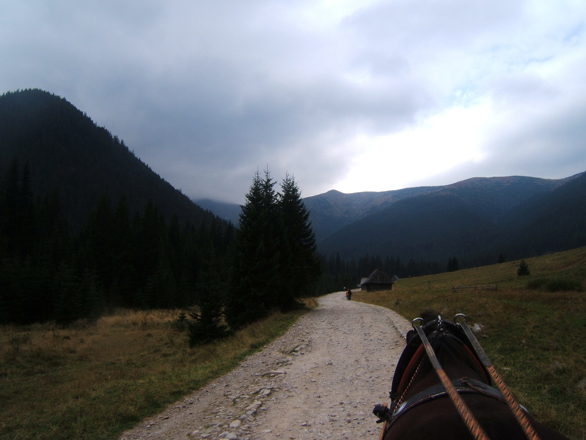
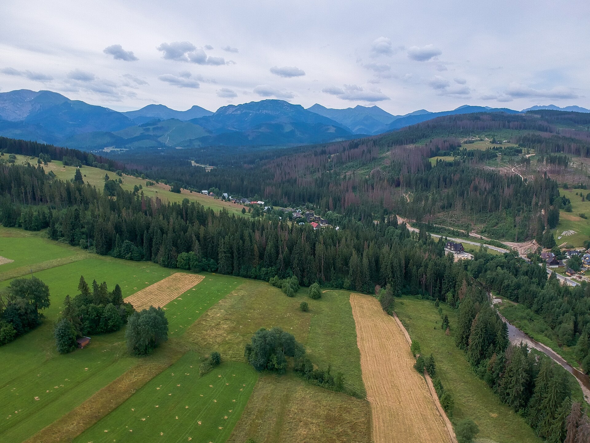
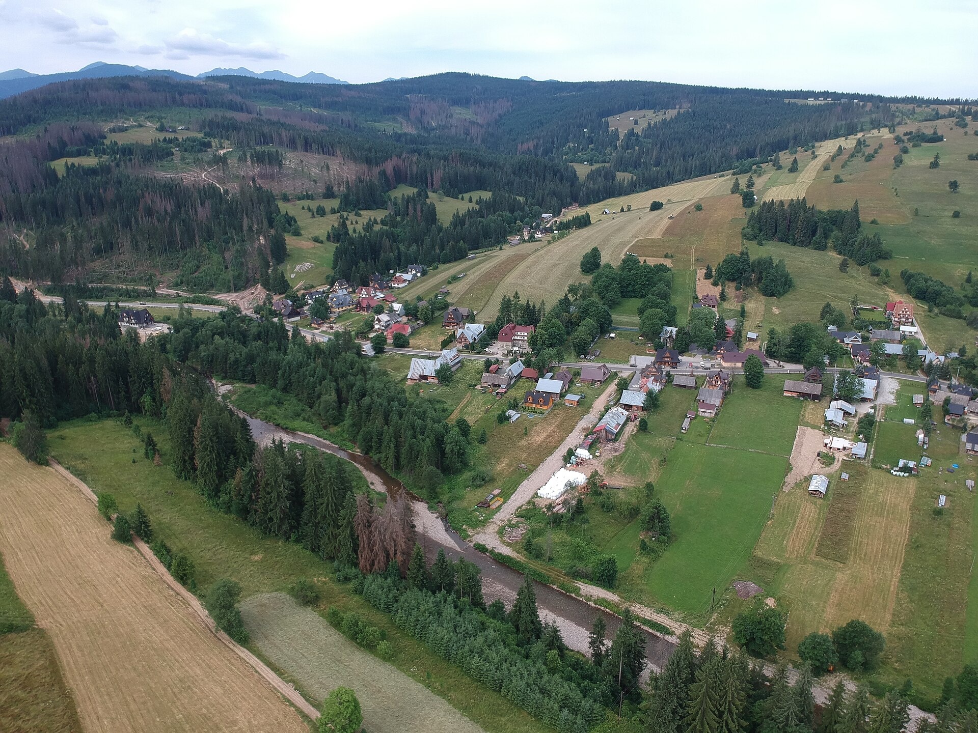
Photos: Trututu, CC BY-SA 3.0 (Wikimedia Commons); Maksym Kozlenko, CC BY-SA 4.0 (Wikimedia Commons); Maksym Kozlenko, CC BY-SA 4.0 (Wikimedia Commons)
Witów is a village in Poland.
Population: 1,500. Mountains nearby: Western Carpathians.
Here and nearby on the site: 2 trails, 2 peaks.
Facts: Wikidata, OpenStreetMap. More on Wikipedia
Trails nearby
All trails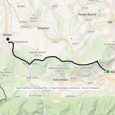 ModerateOne-dayMarkedZakopane WitówElevation profile820–1 179 m11.5 kmascent 405 m≈ 3.5 h walkingunder 1 km from the centre
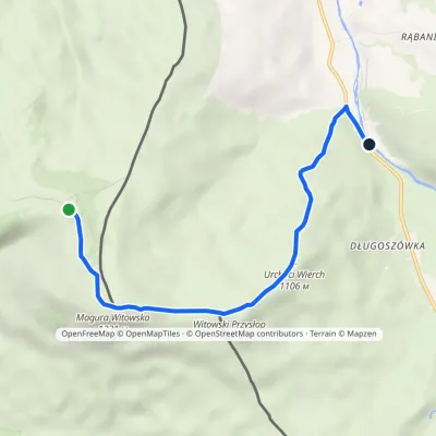 EasyOne-dayMarkedVyšné diely MaguraElevation profile837–1 231 m5.8 kmascent 121 m≈ 1.5 h walking1.2 km from the centre
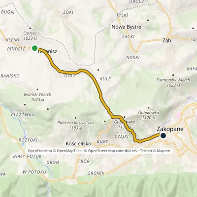 EasyOne-dayMarkedZakopane DzianiszElevation profile822–1 132 m9.2 kmascent 277 m≈ 3 h walking2.7 km from the centre
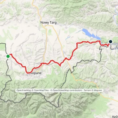 HardMulti-dayMarkedChochołów Trzy Kopce PassElevation profile469–1 132 m65.7 kmascent 1 966 m2.9 km from the centre
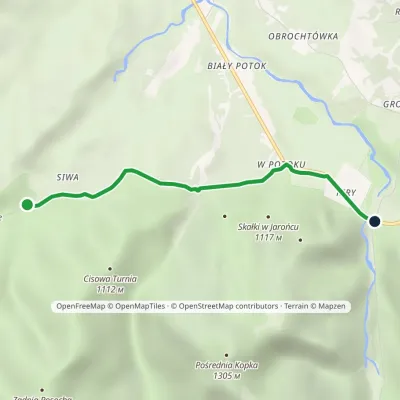 EasyOne-dayMarkedKiry Siwa PolanaElevation profile913–953 m3.1 kmascent 21 m≈ 45 min walking5.4 km from the centre
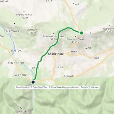 EasyOne-dayMarkedGubałówka KiryElevation profile904–1 153 m5.5 kmascent 73 m≈ 1.5 h walking5.5 km from the centre
Peaks nearby
All peaks PeakPrzysłop WitowskiWitówaltitude 1 164 m3.5 km from the centrePrzysłop Witowski (Slovak: Príslop) is a wooded 1,164 m summit on the Polish–Slovak border, just north-west of the Western Tatras.
 PeakGubałówkaZakopanealtitude 1 126 m8.3 km from the centreGubałówka is a long, gentle hill above the north-western part of Zakopane and the best-known summit of the Gubałówka Foothills in Podhale.
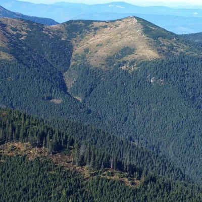 PeakGrześWitówaltitude 1 653 m11 km from the centreGrześ (Slovak Lúčna) is a 1,653 m double-topped mountain in the Western Tatras on the Polish–Slovak border, west of the Chochołowska glade.
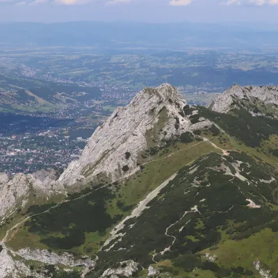 PeakGiewontZakopanealtitude 1 895 m12 km from the centre1 trail to the topGiewont is a 1,895 m mountain massif in the Western Tatras, towering over Zakopane. Its main summit, Wielki Giewont, is usually regarded as the highest peak of the...
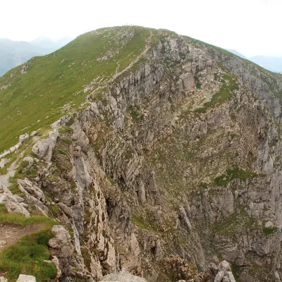 PeakCiemniakKościeliskoaltitude 2 096 m12 km from the centreCiemniak (Slovak: Temniak) is a 2,096 m summit in the Western Tatras and the westernmost of the four peaks of the Czerwone Wierchy (Red Peaks) massif.
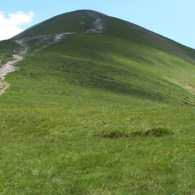 PeakMałołączniakKościeliskoaltitude 2 096 m12 km from the centreMałołączniak (Slovak Malolúčniak) is a 2,096 m summit of the Western Tatras on the main Tatra ridge along the Polish–Slovak border.
What to visit
All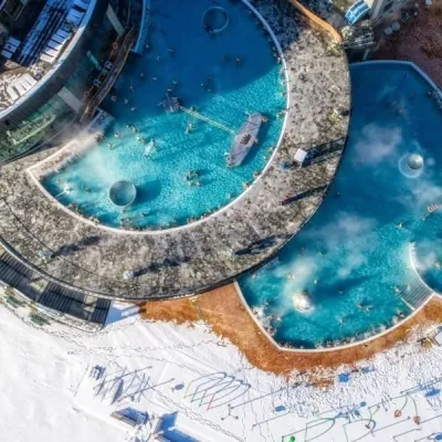 Water parks & thermal poolsChochołowskie TermyChochołów2.9 km from the centreChochołowskie Termy stand in the village of Chochołów in the Podhale region, north-west of Zakopane and not far from the Slovak border.
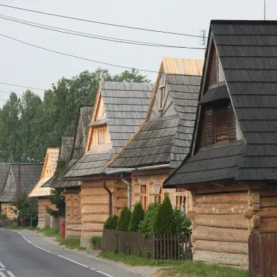 Historic siteChochołów Wooden VillageChochołów5.1 km from the centreChochołów is a village in the Podhale region, in the valley of the Czarny Dunajec river, right by the border with Slovakia.
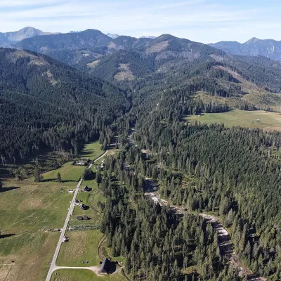 NatureChochołowska ValleyKościelisko5.2 km from the centreThe Chochołowska Valley lies at the western edge of the Polish Western Tatras and is the longest and largest valley in the country: about 10 km long and over 35 km² in...
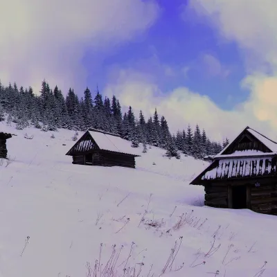 Mountain meadowPolana na StołachKościeliskoaltitude 1 330 m8.9 km from the centrePolana na Stołach, often called simply Stoły or Hala Stoły, is a high mountain meadow in the Western Tatras, on the small limestone massif of Stoły above the...
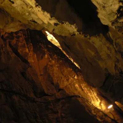 NatureMroźna CaveKościelisko8.9 km from the centreMroźna Cave is the best-known show cave in the Polish Tatras. It lies on the eastern slope of the Kościeliska Valley, in the Organy massif, about 120 m above the...
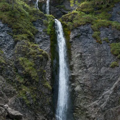 WaterfallSiklawica WaterfallZakopane11 km from the centreSiklawica (also Siklawica Strążyska) is a waterfall in the Western Tatras, in the upper part of the Strążyska Valley (strictly speaking in its branch called Mała...
Craft nearby
All craft places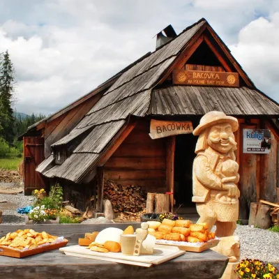 Cheese dairies & pasturesBiały Potok Shepherd's Hut, Witów: oscypek and cheese workshopsKościelisko5 km from the centreBiały Potok meadow in the village of Witów lies between the entrances to two of the most visited Tatra valleys, Chochołowska and Kościeliska.
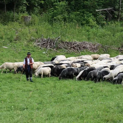 Cheese dairies & pasturesShepherd's Hut in the Kościeliska ValleyKościelisko7.4 km from the centreJózef Słodyczka's bacówka (shepherd's hut) on the Wyżnia Kira Miętusia glade is probably the most easily reached shepherds' hut in the Polish Tatras.
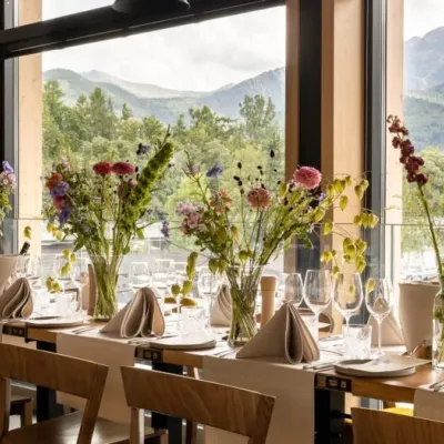 Craft beer & breweriesGwarno Restaurant & Brewery, ZakopaneZakopane9.3 km from the centreGwarno is a restaurant with its own small brewery at the foot of Gubałówka in Zakopane. It stands on Na Gubałówkę street right next to the lower station of the...
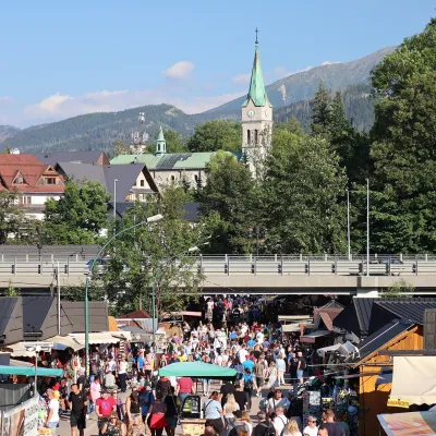 Markets & fairsMarket under GubałówkaZakopane9.4 km from the centreThe market under Gubałówka (Targ pod Gubałówką) is Zakopane's best-known bazaar and probably the most photographed row of stalls in the Polish Tatras.
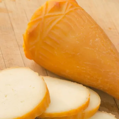 Cheese dairies & pasturesDom Oscypka, Krupówki, Zakopane: cheese-making workshop with a bacaZakopane10 km from the centreDom Oscypka ("House of Oscypek") is a workshop studio on Krupówki in the very centre of Zakopane, where you can see how highland cheese is made from milk and make some...
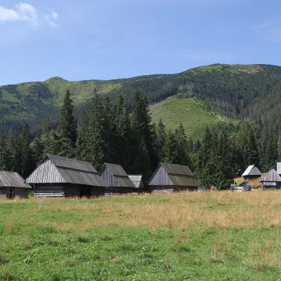 Cheese dairies & pasturesShepherds' Huts on Polana ChochołowskaKościelisko10 km from the centrePolana Chochołowska is the largest glade in the Polish Tatras and one of the largest in the whole range.
Spas and thermal pools nearby
Water parks & thermal poolsChochołowskie TermyChochołów2.9 km from the centreChochołowskie Termy stand in the village of Chochołów in the Podhale region, north-west of Zakopane and not far from the Slovak border.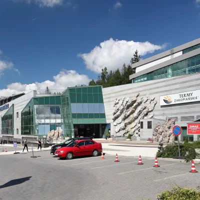 Water parks & thermal poolsTermy Zakopiańskie (Aqua Park Zakopane)Zakopane11 km from the centreTermy Zakopiańskie is a thermal water park right in Zakopane, on Jagiellońska Street, only a kilometre from Krupówki.
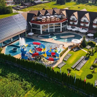 Water parks & thermal poolsTermy Szaflary (Termy Podhalańskie)Bańska Niżna16 km from the centreTermy Szaflary is a thermal complex in the village of Szaflary, between Nowy Targ and Zakopane. It used to be known as Termy Podhalańskie, a name still found in older...
Huts, shelters and springs nearby
Getting there from Ukraine
Border crossings
- Krakovets – Korczowa — road, 24/7
- Shehyni – Medyka — road, 24/7 Pedestrian crossing is not confirmed by the Ukrainian border service — check dpsu.gov.ua before the trip.
- Smilnytsia – Krościenko — road, 24/7
- Hrushiv – Budomierz — road, 24/7
- Mostyska – Przemyśl (rail) — rail, 24/7
By car
Lviv – Zakopane ≈421 km, ≈5 h 10 min without border queues. Route: M-10 Lviv – Krakovets → Krakovets – Korczowa checkpoint → A4 motorway (Rzeszów – Tarnów – Kraków) → Kraków southern bypass → S7/DK7 → DK47 ('Zakopianka') via Nowy Targ → Zakopane. The A4 Katowice – Kraków section (Balice and Mysłowice toll plazas) is tolled, but this route does not use it. In summer and at weekends the DK47 near Zakopane is often congested.
Checked 23.10.2026; border crossing hours and timetables change — check before you travel.
