Grześ
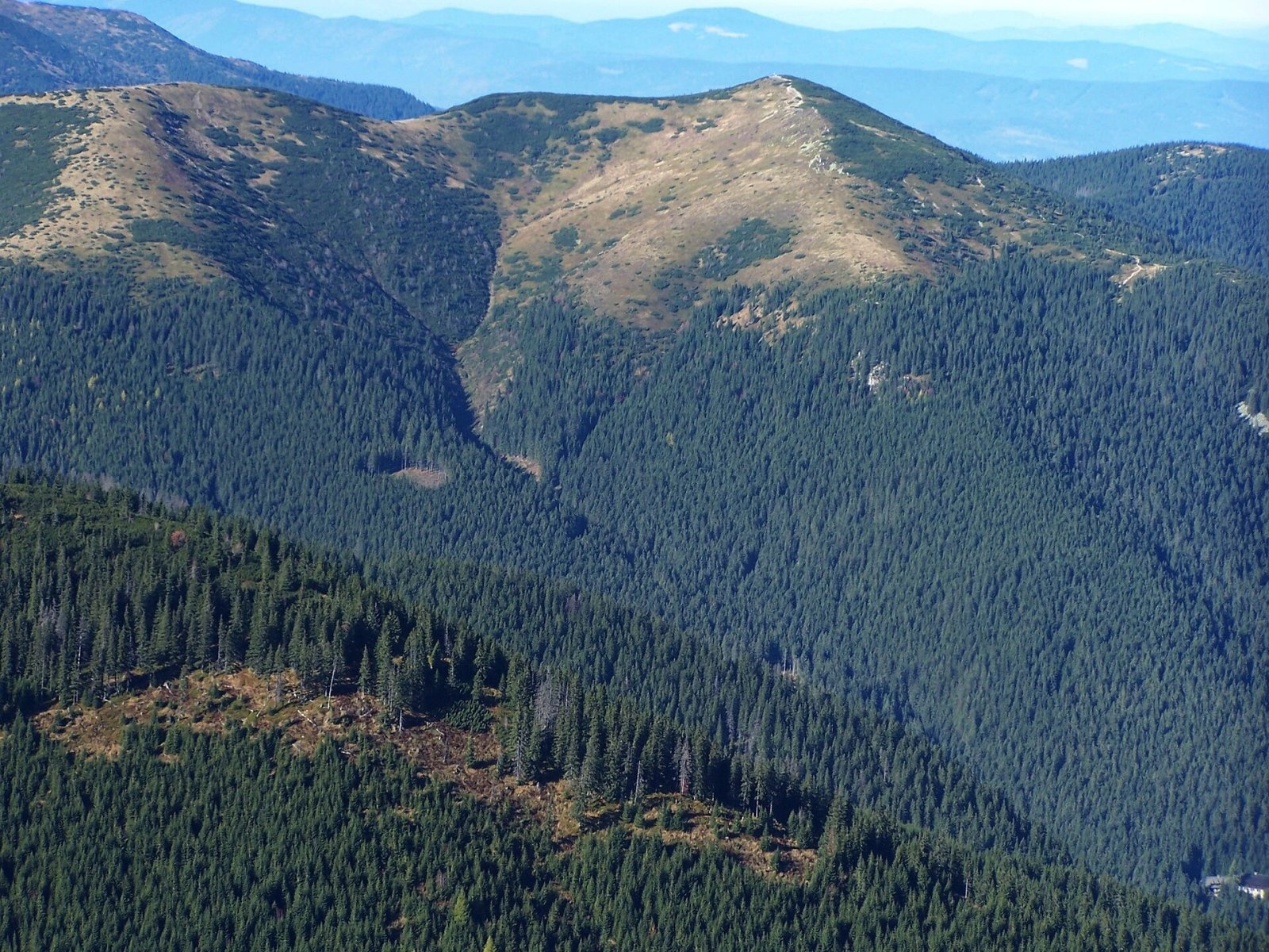
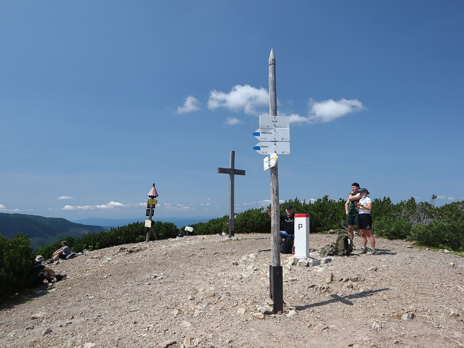
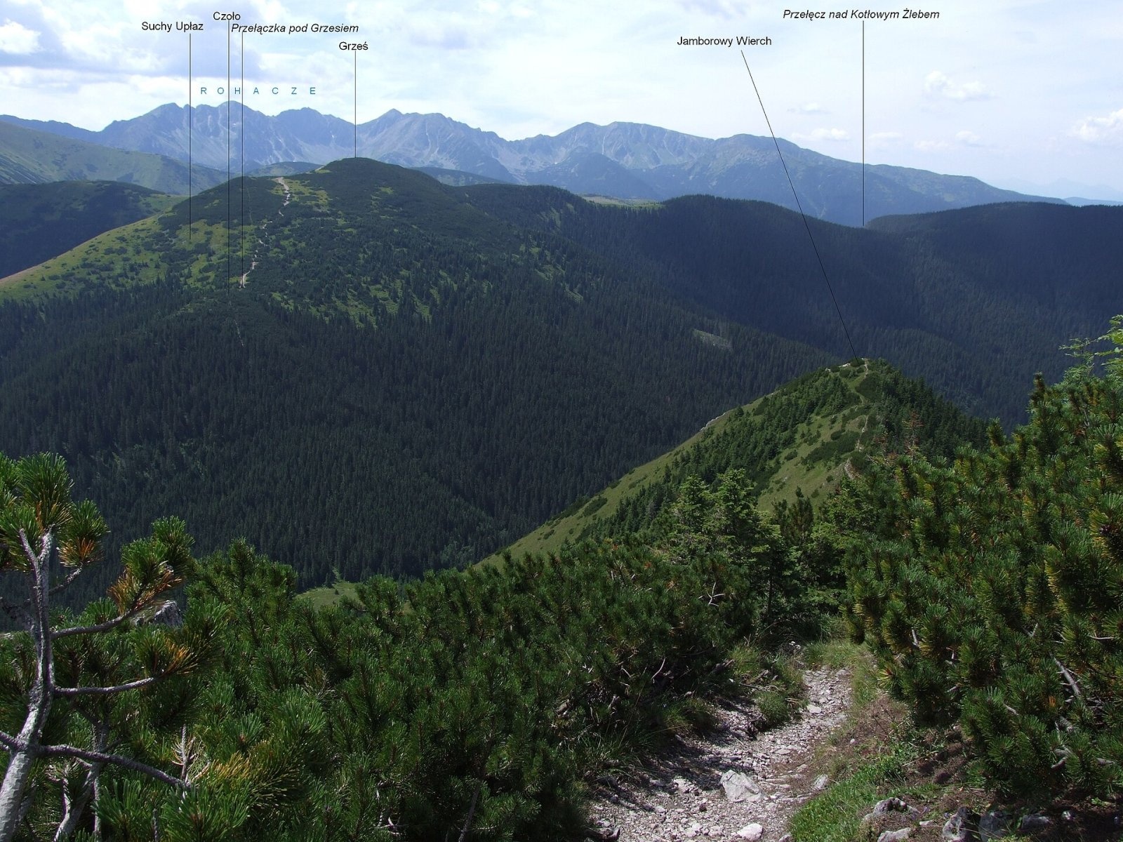
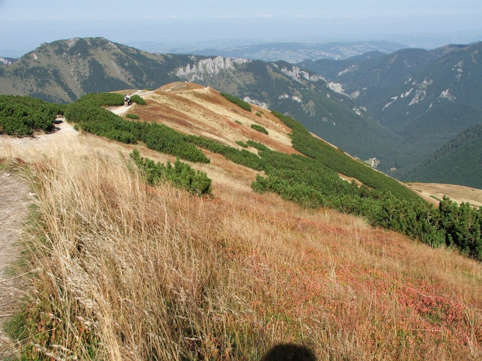
Grześ (Slovak Lúčna) is a 1,653 m double-topped mountain in the Western Tatras on the Polish–Slovak border, west of the Chochołowska glade. Both the state border and the Great European Watershed between the Baltic and Black Sea basins run along its ridge. The Polish slopes belong to the village of Witów (Kościelisko municipality, Tatra County), the Slovak ones to Zuberec and Vitanová in the Tvrdošín district. Both sides of the mountain lie in the Tatra National Park — the Polish TPN and the Slovak TANAP. Grześ is the most easily accessible summit around the Chochołowska valley, so it is often a goal in itself or climbed on the way to Wołowiec.
Getting there / trails
- yellow — from the PTTK hut on the Chochołowska glade (Polish side): about 1 h 30 min up and 1 h down;
- blue — along the border ridge via Rakoń to Wołowiec: about 1 h 45 min (1 h 30 min back);
- green (Slovak side) — from Zverovka via the saddle below Osobitá and Kasne to a junction just below the summit (from the Osobitá saddle about 2 h, down 1 h 50 min), then on to the Zadná Látaná valley (30 min down, 1 h up).
Times are from Polish Wikipedia. Slovak Wikipedia and OpenStreetMap also show a blue route from Oravice via the Bobrovecké sedlo, but according to Polish Wikipedia TANAP closed the Slovak blue section to the Bobrowiecka pass in June 2008 — check the current TANAP map before you go.
What you can see from the top
From the grassy summit clearings with dwarf pine there is an all-round panorama of the Western Tatras, especially beautiful in autumn, when the slopes turn russet with rush, bilberry clumps go red and mat-grass turns yellow. On the slopes of Trzydniowiański Wierch you can see white quartzite rocks known as the "Geese", and to the south the Roháče, which resemble the High Tatras. According to Slovak Wikipedia, the Orava Magura, the Orava Beskids and the foothills of southern Poland are also visible; neighbouring summits include Bobrovec, Osobitá, Salatín, Baníkov, Wołowiec, Rakoń and Kominiarski Wierch.
Nature and history
Grześ is a junction of three ridges and three spurs. The southern ridge rises via the Łuczniańska pass (1,602 m) and Długi Upłaz to Rakoń, the long north-western ridge runs to Osobitá and on to the edge of the Tatras, and the north-eastern one drops via Kruźlik and Czoło to the deep Bobrowiecka pass (1,356 m). The massif rises above three valleys: Bobrowiecka, Látaná and Chochołowska. The mountain is built of hard Triassic quartzite sandstones; higher up towards Wołowiec they give way to crystalline rocks. The summit areas are gently rounded, grassy and overgrown with dwarf pine, and a small seasonal pond lies between the two tops. Black crowberry grows on the summit.
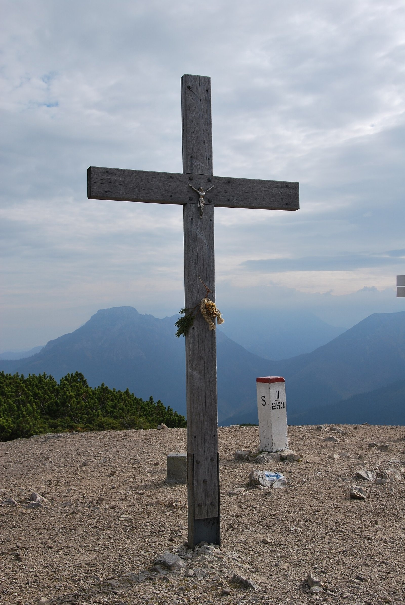
According to the Great Tatra Encyclopedia, the Polish name comes from the highlander word "grześ" — a ridge with slopes falling steeply on both sides. Polish highlanders once called the mountain Kończysty, Slovak ones Lúčna or Končistá; the Slovak name comes from the small Lúčna glade, where a shepherds' hut stood in 1615. Old maps call it Hruby, and the name Grześ only appeared on maps in 1934. The slopes used to be grazed: the Polish side belonged to the Chochołowska pasture and is owned by the Forest Community of the Eight Villages, the Slovak side to a separate pasture of Trstená and Dlhá Lúka. In winter skiers descend from Grześ — a ski run existed before the Second World War and was reopened in 1956. The wooden cross on the summit was erected in 1992 in memory of secret meetings of Polish and Czechoslovak dissidents.
Safety, season and rules
The trails to Grześ are easy and have no chains, but this is already high mountain terrain: strong wind, fog and quick weather changes on the open ridge, and in winter the slopes, especially towards Wołowiec, can be avalanche-prone. In the Polish Tatra National Park entry is charged and hiking is allowed only on marked trails. On the Slovak side TANAP closes high-mountain trails every year from 1 November until late spring — check which sections are open. Rescue: on the Polish side TOPR (985 or +48 601 100 300), on the Slovak side HZS (18 300, +421 18 300); the general emergency number is 112.
Interesting facts
- The Great European Watershed between the Baltic and Black Seas runs over the summit.
- The name Grześ only appeared on maps in 1934; earlier the mountain was called Hruby.
- The summit cross commemorates secret meetings of Polish and Czechoslovak dissidents.
Photos: Jerzy opioła, CC BY-SA 4.0; Cybularny, CC0; Zorro2212, CC BY-SA 3.0; Jerzy Opioła, CC BY-SA 3.0; Opioła Jerzy, CC BY 2.5; Paweł Opioła, CC BY-SA 4.0 — Wikimedia Commons.
Getting there from Ukraine
Border crossings
- Krakovets – Korczowa — road, 24/7
- Shehyni – Medyka — road, 24/7 Pedestrian crossing is not confirmed by the Ukrainian border service — check dpsu.gov.ua before the trip.
- Smilnytsia – Krościenko — road, 24/7
- Hrushiv – Budomierz — road, 24/7
- Mostyska – Przemyśl (rail) — rail, 24/7
By car
Lviv – Zakopane ≈421 km, ≈5 h 10 min without border queues. Route: M-10 Lviv – Krakovets → Krakovets – Korczowa checkpoint → A4 motorway (Rzeszów – Tarnów – Kraków) → Kraków southern bypass → S7/DK7 → DK47 ('Zakopianka') via Nowy Targ → Zakopane. The A4 Katowice – Kraków section (Balice and Mysłowice toll plazas) is tolled, but this route does not use it. In summer and at weekends the DK47 near Zakopane is often congested.
Checked 23.10.2026; border crossing hours and timetables change — check before you travel.
Location on the map
Water and shelter nearby
- Spring below Grześ560 m · Not verified · 1 528 m
- Spring below Czoło1.1 km · Not verified · 1 275 m
- Spring below Hrubý vrch (south slope), 1 137 m1.2 km · Not verified · 1 137 m
- Chochołowska Glade Hut1.5 km · Standing · 1 146 m
- Spring below Zadná Zábrať2.3 km · Not verified · 1 602 m
- Spring below Kýčer (north-east slope), 1 000 m2.9 km · Not verified · 1 000 m
- Ťatliak Hut2.9 km · Standing · 1 393 m
- Spring below Rakoń2.9 km · Not verified · 1 421 m
- Spring below Kýčer (north-east slope), 984 m3 km · Not verified · 984 m
Comments
Trails nearby
All trails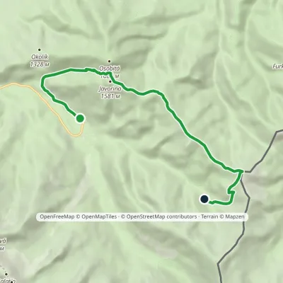 ModerateOne-dayMarkedZverovka Hut Zadná LátanáElevation profile994–1 653 m9.7 kmascent 837 m≈ 4 h walkingunder 1 km from Grześ
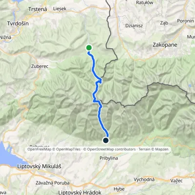 HardTwo-dayMarkedOravice Račková dolina, campsiteElevation profile791–2 063 m23.6 kmascent 1 337 m≈ 8.5 h walkingunder 1 km from Grześ
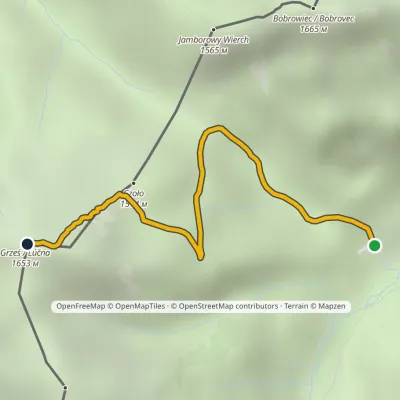 EasyOne-dayMarkedPolana Chochołowska GrześElevation profile1 144–1 653 m2.7 kmascent 509 m≈ 1.5 h walkingunder 1 km from Grześ
Nearby attractions
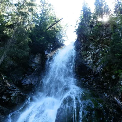 WaterfallRoháčsky WaterfallZuberec3.6 km from GrześRoháčsky waterfall (Roháčsky vodopád) is the best-known waterfall of the Western Tatras, in the Roháče massif about 12 km east of the village of Zuberec in Orava.
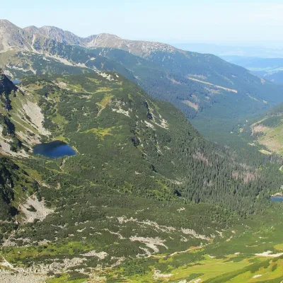 LakeRoháčske plesá3.7 km from GrześRoháčske plesá are a cascade of four glacial lakes at the head of Roháčska dolina in the Western Tatras, in the Orava region.
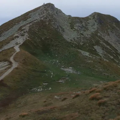 Mountain meadowThe grassy hole of Salatín and Brestová in the Western TatrasZuberecaltitude 2 048 m6.4 km from GrześSalatín (2,048 m) is a massive grassy mountain on the main ridge of the Western Tatras (Západné Tatry) in Slovakia, above the Bobrovecká and Jalovecká valleys on the...
Craft nearby
All craft places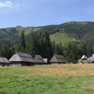 Cheese dairies & pasturesShepherds' Huts on Polana ChochołowskaKościelisko1.8 km from GrześPolana Chochołowska is the largest glade in the Polish Tatras and one of the largest in the whole range.
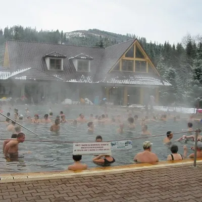 Water parks & thermal poolsOravice thermal poolsVitanová7.1 km from GrześThe Oravice thermal pools (Termálne kúpalisko Oravice) are the municipal thermal baths in the mountain settlement of Oravice at the foot of the Western Tatras.
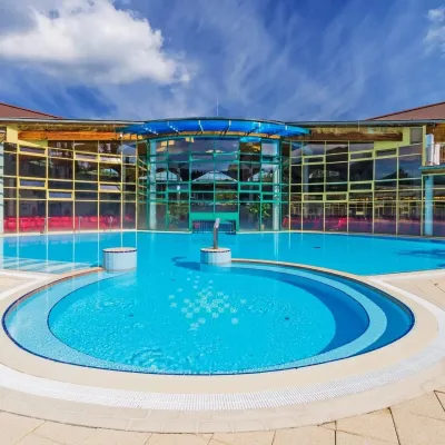 Water parks & thermal poolsMeander Thermal Resort, OraviceVitanová7.1 km from GrześMeander Thermal & Ski Resort (formerly Meander Park) is a thermal water park and ski centre in the mountain settlement of Oravice in northern Slovakia, at the foot of...
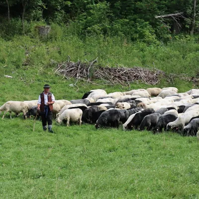 Cheese dairies & pasturesShepherd's Hut in the Kościeliska ValleyKościelisko8.2 km from GrześJózef Słodyczka's bacówka (shepherd's hut) on the Wyżnia Kira Miętusia glade is probably the most easily reached shepherds' hut in the Polish Tatras.
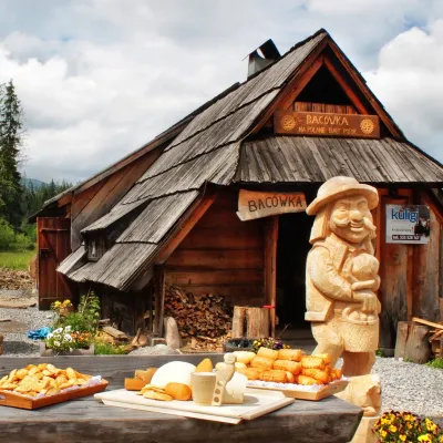 Cheese dairies & pasturesBiały Potok Shepherd's Hut, Witów: oscypek and cheese workshopsKościelisko8.4 km from GrześBiały Potok meadow in the village of Witów lies between the entrances to two of the most visited Tatra valleys, Chochołowska and Kościeliska.
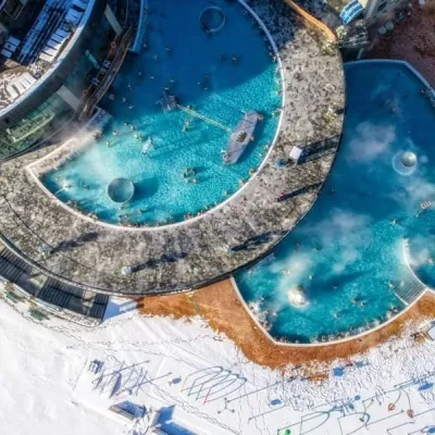 Water parks & thermal poolsChochołowskie TermyChochołów13 km from GrześChochołowskie Termy stand in the village of Chochołów in the Podhale region, north-west of Zakopane and not far from the Slovak border.
