Mountain shelter
Chochołowska Glade Hut
Poland · Western Tatras range · 1 146 m


- Photo: Cybularny · CC0 · Wikimedia Commons
- Photo: Jerzy Opioła · CC BY-SA 4.0 · Wikimedia Commons
- Photo: MARELBU · CC BY 3.0 · Wikimedia Commons
Condition
StandingNo hikers’ reports yet. According to open data the hut is open all year — check its website or call before setting out.
Last edited on the OSM map 06.07.2025
- 1 146 m
- Sleeps up to 121
- Meals served
- All year
Practical info
- Run by: PTTK
- Local name: Schronisko PTTK na Polanie Chochołowskiej
- Season: All year
- Food: Kitchen or buffet
- Built: 1953
- Contacts: chocholowska.com
About
The Chochołowska Glade Hut is the largest hut by volume in the Polish Tatras and the main base for Dolina Chochołowska in the Western Tatras. It stands at 1,146 m, is open all year and has 121 beds in rooms of various sizes, a self-catering kitchen, a drying room and ski storage; boiling water is free around the clock. TOPR rescuers are on duty next door at times.
The first hut was built by the Warsaw Ski Club in 1930–1932 and burned by the Germans in January 1945. The present building dates from 1951–1953 and since 1958 has drawn power from a small hydro plant on Chochołowski Potok. A plaque by the entrance recalls Pope John Paul II's visit in 1983.
The green trail arrives from Siwa Polana and continues up to the ridge between Rakoń and Wołowiec; the yellow trail climbs Grześ and the red one Trzydniowiański Wierch. Mountain rescue: 985 or +48 601 100 300.
On the map
Coordinates: 49.23637, 19.78780
How to get there
from Siwa Polana on the green trail up Dolina Chochołowska, about 2 h 10 min.
Trails nearby
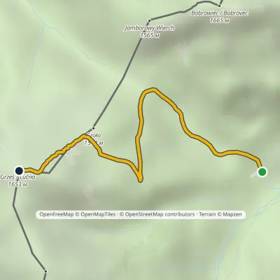 EasyOne-dayMarkedPolana Chochołowska GrześElevation profile1 144–1 653 m2.7 kmascent 509 m≈ 1.5 h walking
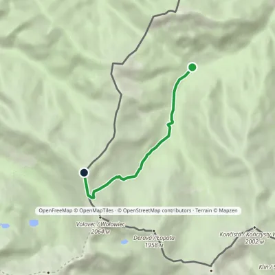 ModerateOne-dayMarkedPolana Chochołowska RakońElevation profile1 126–1 879 m4.6 kmascent 753 m≈ 2.5 h walking
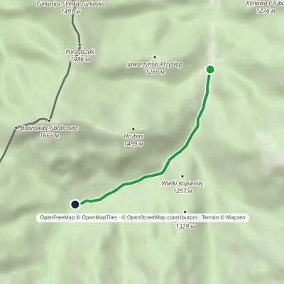 EasyOne-dayMarkedDolina Dudowa Polana ChochołowskaElevation profile1 013–1 126 m2.9 kmascent 113 m≈ 60 min walking
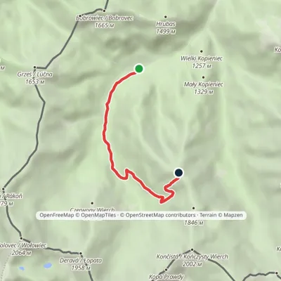 ModerateOne-dayMarkedPolana Chochołowska Trzydniowiański WierchElevation profile1 105–1 765 m4.7 kmascent 660 m≈ 2.5 h walking
Report the condition
Been here recently? Tell us what you saw and add photos — your report appears on the page right away with today’s date.
