Dolina Dudowa – Polana Chochołowska
Trail map
Route, springs and shelters: © OpenStreetMap contributors (ODbL) · elevation: Copernicus DEM © DLR e.V., © Airbus DS · Data & licences
About the trail
Route Dolina Dudowa – Polana Chochołowska. Has green marking (regional route, PTTK). Waymarking data: OpenStreetMap (© OpenStreetMap contributors, ODbL).
Officially marked regional tourist route. The marking is green, the sign is a horizontal stripe on a white background. Marked and maintained by: PTTK. Length of the route — 2.9 km. Location: mountain range — Western Tatras, Poland. The route is in the Tatra National Park (TPN): entry is paid (tickets online or at the ticket offices), from March 1 to November 30, trails can only be walked from dawn to dusk.
At a glance
A short route of 2.9 km with 113 m of ascent from Dolina Dudowa to Polana Chochołowska. Estimated walking time: about 1 h, not counting stops. Difficulty: easy. Waymarking: green.
Water and overnight stays
A spring near the trail: at km 0.5.
Huts and shelters near the trail: Chochołowska Glade Hut (km 3).
When to go
Best time: May to October. In winter deep snow is possible, so experience and winter gear are needed.
Getting there
Start: Dolina Dudowa. This is a one-way route: the finish is 3 km from the start in a straight line, so plan your way back in advance.
FAQ
- How long does the route take?
- Estimated walking time: about 1 h, not counting stops.
- Is there water on the route?
- A spring near the trail: at km 0.5.
- Where can I stay overnight?
- Huts and shelters near the trail: Chochołowska Glade Hut (km 3).
Water and shelter on the route
- Spring below Olejarniakm 0.7 from the start · Not verified · 1 054 m
- Chochołowska Glade Hutkm 2.9 from the start · 140 m off the path · Standing · 1 146 m
Comments
Trails nearby
All trails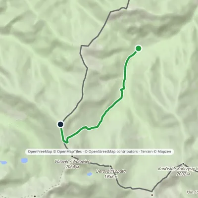 ModerateOne-dayMarkedPolana Chochołowska RakońElevation profile1 126–1 879 m4.6 kmascent 753 m≈ 2.5 h walking
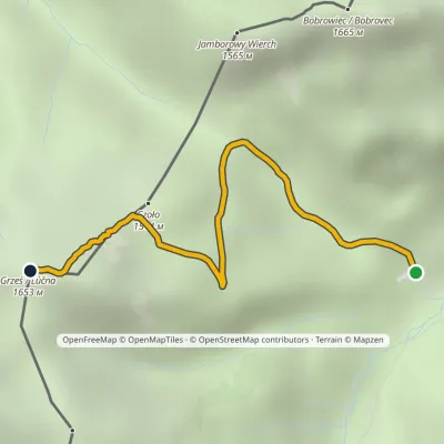 EasyOne-dayMarkedPolana Chochołowska GrześElevation profile1 144–1 653 m2.7 kmascent 509 m≈ 1.5 h walking
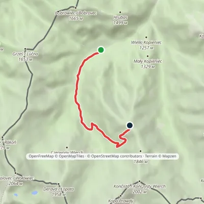 ModerateOne-dayMarkedPolana Chochołowska Trzydniowiański WierchElevation profile1 105–1 765 m4.7 kmascent 660 m≈ 2.5 h walking
Craft nearby
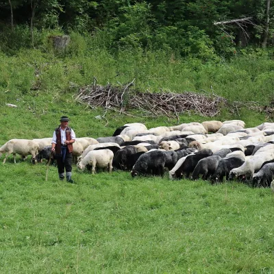
All craft places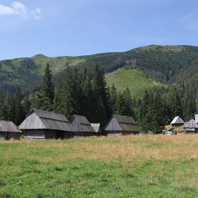 Cheese dairies & pasturesShepherds' Huts on Polana ChochołowskaKościelisko2.5 km from the trailPolana Chochołowska is the largest glade in the Polish Tatras and one of the largest in the whole range.
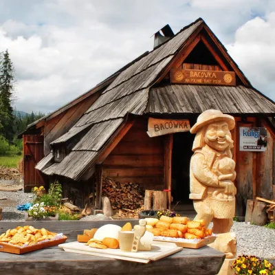
 Cheese dairies & pasturesShepherd's Hut in the Kościeliska ValleyKościelisko4.2 km from the trailJózef Słodyczka's bacówka (shepherd's hut) on the Wyżnia Kira Miętusia glade is probably the most easily reached shepherds' hut in the Polish Tatras.
 Cheese dairies & pasturesBiały Potok Shepherd's Hut, Witów: oscypek and cheese workshopsKościelisko4.6 km from the trailBiały Potok meadow in the village of Witów lies between the entrances to two of the most visited Tatra valleys, Chochołowska and Kościeliska.
 Water parks & thermal poolsMeander Thermal Resort, OraviceVitanová7.1 km from the trailMeander Thermal & Ski Resort (formerly Meander Park) is a thermal water park and ski centre in the mountain settlement of Oravice in northern Slovakia, at the foot of...
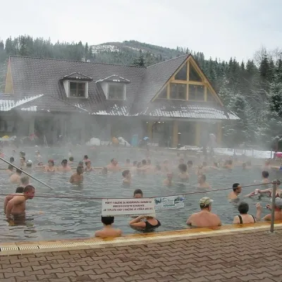 Water parks & thermal poolsOravice thermal poolsVitanová7.1 km from the trailThe Oravice thermal pools (Termálne kúpalisko Oravice) are the municipal thermal baths in the mountain settlement of Oravice at the foot of the Western Tatras.
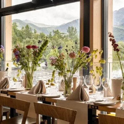 Craft beer & breweriesGwarno Restaurant & Brewery, ZakopaneZakopane11 km from the trailGwarno is a restaurant with its own small brewery at the foot of Gubałówka in Zakopane. It stands on Na Gubałówkę street right next to the lower station of the...
