Jakubina
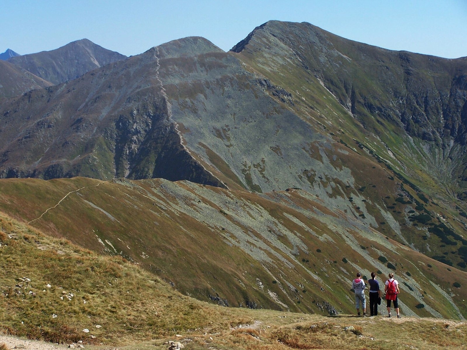
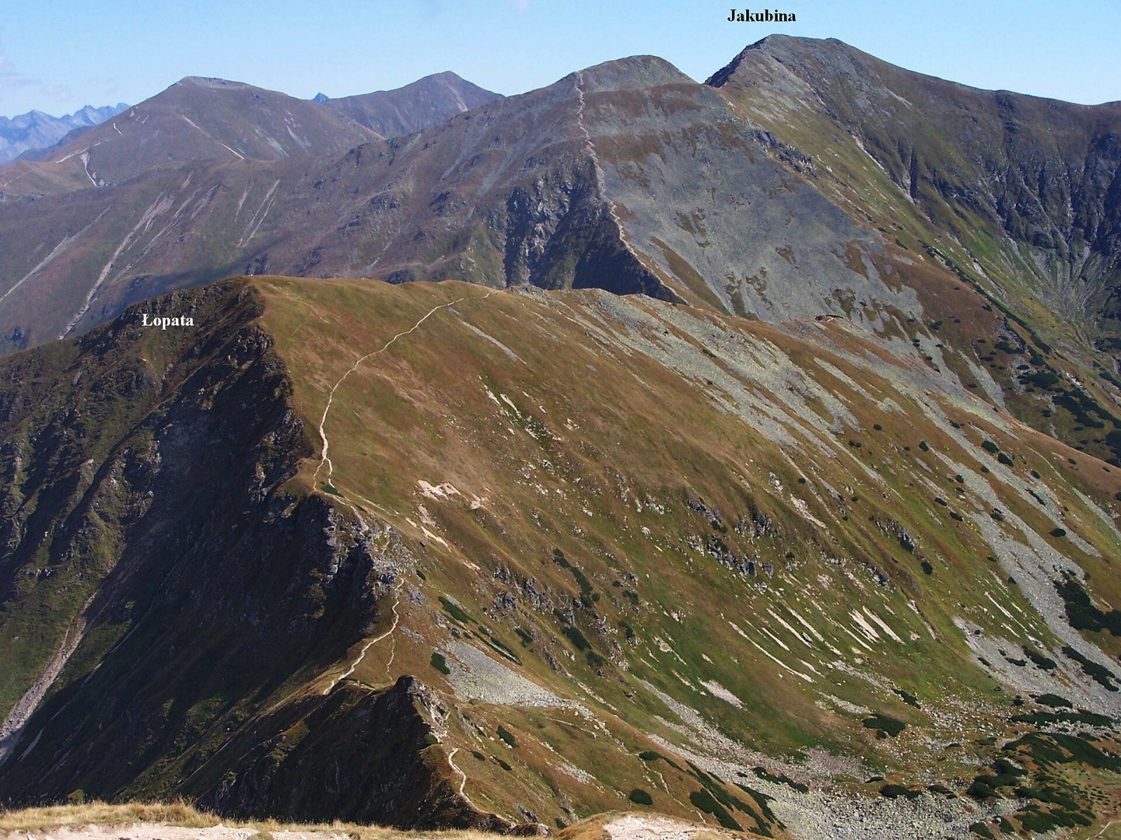
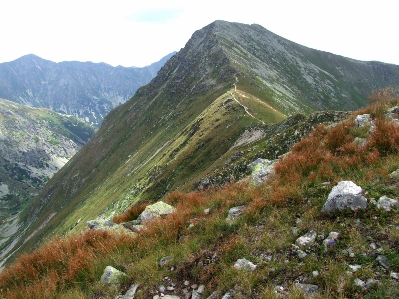
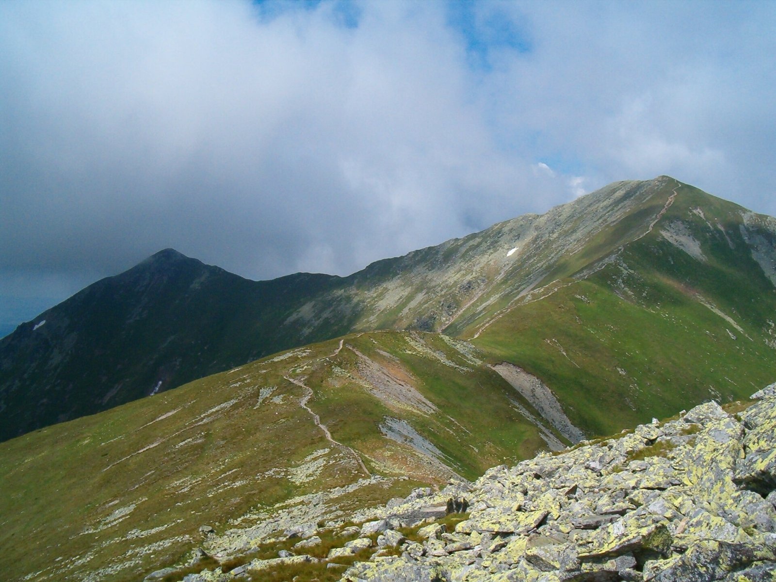
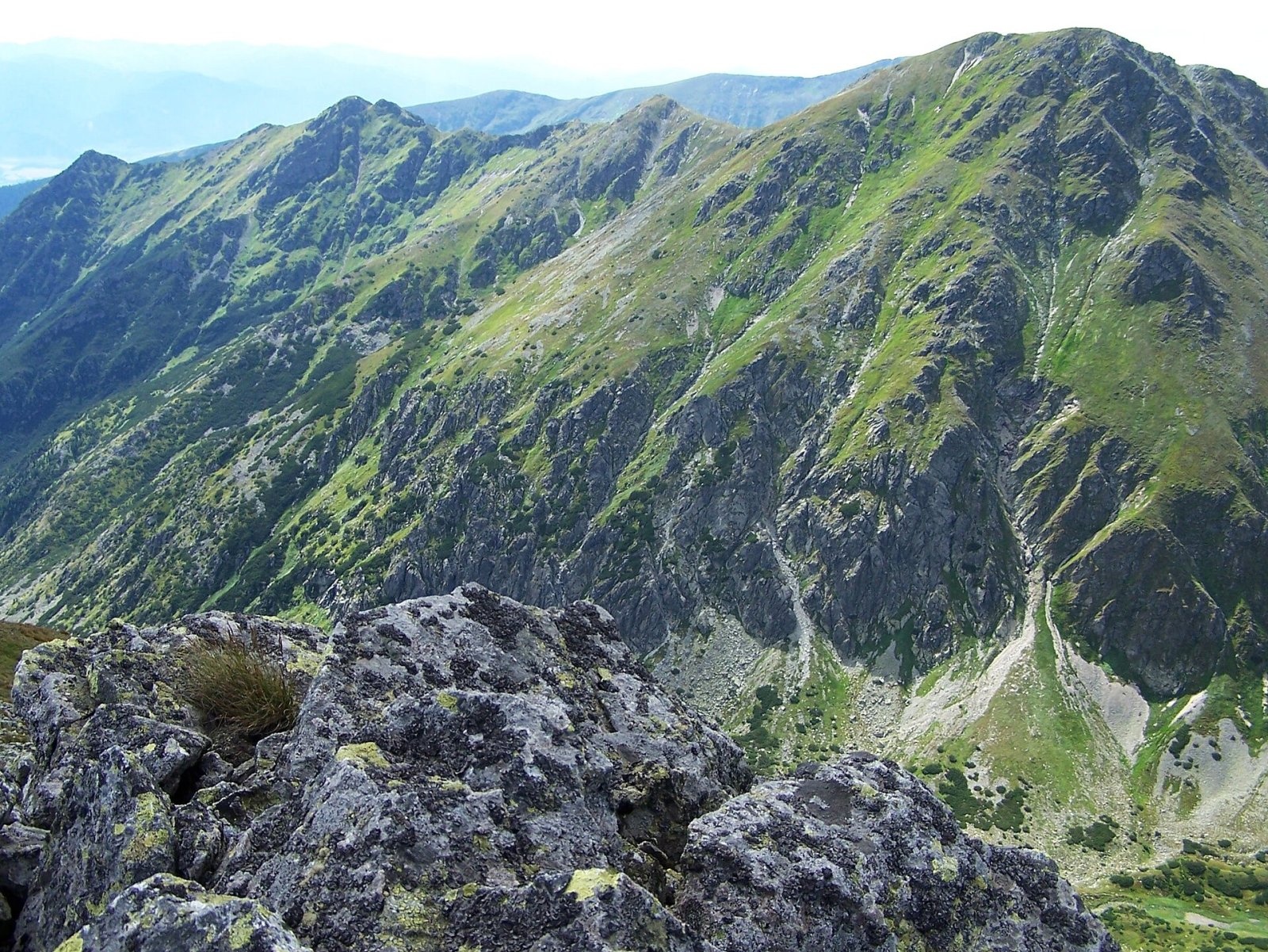
Jakubina (Polish Raczkowa Czuba) is a 2,194 m summit in the Western Tatras, the second-highest of the range after Bystrá (2,248 m). It stands in the Slovak part of the Tatras, in the Žilina Region, above the village of Pribylina, about 17 km north of Liptovský Hrádok. It is the highest peak of the Otrhance ridge, which runs south from Hrubý vrch (2,137 m) on the main Tatra ridge. The mountain is pyramid-shaped and has a grassy alpine character: its grass-and-stone slopes have no dwarf pine and rise 500–700 m above the surrounding valleys. The whole summit lies in the Tatra National Park (TANAP).
The Otrhance ridge separates two valleys: the Račková valley with the Račkove tarns, source of the Račková stream, to the east, and the Jamnícka valley to the west. Both drain to the Belá river in the Váh basin. To the north is Hrubý vrch (Polish Jarząbczy Wierch), to the south, beyond the Jakubinské sedlo saddle (2,069 m), Vyšná Magura (2,095 m). The summit is built of metamorphosed granodiorites, like the whole Roháče and Otrhance massif.
Getting there / trail
The green-marked trail along the Otrhance ridge passes over the summit itself. The usual route:
- from the former «Račková» camp in the Račková valley near Pribylina — first on blue markings up the narrow Úzka dolina past a small reservoir to Nižná lúka, then on green in zigzags through forest and dwarf pine to the ridge and over several lower humps to the summit;
- according to the Polish Tatra encyclopaedia the ascent takes about 4 h 30 min and the descent 3 h 30 min, with a total climb of about 1,400 m;
- from Jakubina the green trail reaches Hrubý vrch and the red-marked main ridge in 10–15 min; from there you can descend through the Jamnícka or Račková valley and close a loop.
Technically the route is easy, but tiring because of the many climbs; there are exposed spots, and in fog it is easy to take the wrong direction, which is dangerous on the ridge.
The view
The panorama from Jakubina is one of the finest in the Tatras: to the west Baranec (2,185 m) and the Roháče with Plačlivé and Ostrý Roháč, to the east Bystrá and Klin, the High Tatras dominated by Kriváň, and below the Račková and Jamnícka valleys and the Sub-Tatra basin. In good visibility you can see the Low Tatras, the Greater and Lesser Fatra, Oravská Magura, the Orava Beskids and the mountains of southern Poland. On the summit there is a small hollow lined with stones — a modest shelter from the wind.
Nature and history
In winter powerful avalanches, among the largest in the Tatras, slide off Jakubina's open slopes; the main avalanche gully falls east into the Záhradky area of the Jamnícka valley. Chamois often graze around. Shepherds, hunters, cartographers and hikers have climbed the summit for a long time, and the first winter ascent was made in 1910 by skiers from Zakopane.
Season and rules
TANAP's high-mountain trails, including the Otrhance ridge, are closed every year from 1 November to 31 May; in summer you may walk only on marked trails and only in daylight. There are no huts and no water on the ridge — carry enough to drink and windproof clothing, and watch out for thunderstorms, which in the Tatras often build up in the afternoon. Slovak Mountain Rescue Service (HZS): 18 300 (from a foreign phone +421 18 300) or 112.
Photos: Jerzy Opioła, CC BY-SA 3.0; Jerzy Opioła, CC BY-SA 3.0; Jerzy Opioła, CC BY-SA 4.0; This image is a work by Mercy. When reusing, please credit me as: Mercy from Wikimedia Commons. I would appreciate being notified if you use my work outside Wikimedia. Do not copy this image illegally by ignoring the terms of the license below, as it is not in the public domain. If you would like special permission to use, license, or purchase the image please contact me to negotiate terms. More of my work can be found in my personal gallery., CC BY-SA 3.0; Opioła Jerzy, CC BY 2.5 — Wikimedia Commons.
Getting there from Ukraine
Border crossings
- Uzhhorod – Vyšné Nemecké — road, 24/7
- Malyi Bereznyi – Ubľa — road, 24/7 For cars and buses; pedestrians not confirmed by the Ukrainian border service, lorries up to 3.5 t.
- Mali Selmentsi – Veľké Slemence (pedestrian) — pedestrian, 09:00–21:00 Kyiv time Pedestrians and cyclists only; inconvenient for the Tatras without onward transport.
- Chop – Čierna nad Tisou (rail) — rail, 24/7
By car
From Uzhhorod ≈275 km, ≈3 h 35 min without queues: Uzhhorod – Vyšné Nemecké → I/19 to Košice → D1 motorway via Prešov, Poprad and Liptovský Mikuláš to Ružomberok (≈270 km, ≈3 h 25 min from the border). From Lviv it is faster through Poland: M-10 → Krakovets – Korczowa → A4 to Kraków → S7/DK7 to the Chyżne – Trstená border → R3 and I/59 via Dolný Kubín to Ružomberok: ≈482 km, ≈6 h 15 min (via Uzhok and Ubľa ≈500 km, ≈7 h 30 min). The D1 requires an e-vignette (eznamka.sk).
Checked 23.10.2026; border crossing hours and timetables change — check before you travel.
Location on the map
Water and shelter nearby
- Spring below Jakubina1 km · Not verified · 1 596 m
- Spring below Kończysty Wierch1.1 km · Not verified · 1 822 m
- Koliba pod Klinom Shelter1.4 km · Not verified · 1 439 m
- Spring below Ostredok (north-west slope), 1 759 m1.5 km · Not verified · 1 759 m
- Spring below Ostredok (north-west slope), 1 911 m1.7 km · Not verified · 1 911 m
- Spring below Trzydniowiański Wierch2.5 km · Not verified · 1 581 m
- Hut under Pustý2.6 km · Not verified · 1 185 m
- Spring below Ostredok (west slope), 1 235 m2.6 km · Not verified · 1 235 m
Comments
Trails nearby
All trails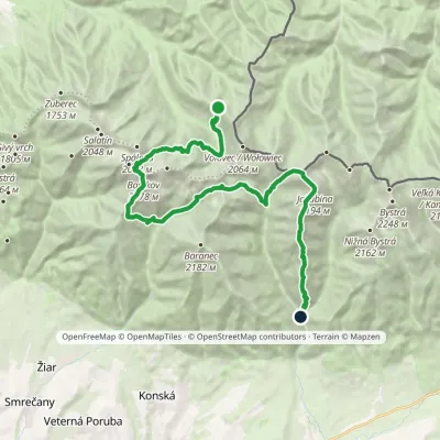 HardMulti-dayMarkedSedlo Zábrať Junction of Jamnická and Račková ValleysElevation profile962–2 194 m26.6 kmascent 2 635 m≈ 12 h walkingunder 1 km from Jakubina
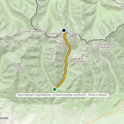 ModerateOne-dayMarkedProstredná Meadow Račkovo SaddleElevation profile962–2 002 m7.5 kmascent 1 040 m≈ 4 h walkingunder 1 km from Jakubina
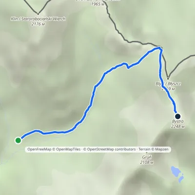 HardOne-dayMarkedJunction in Gáborova Valley BystráElevation profile1 450–2 248 m3.2 kmascent 798 m≈ 2.5 h walking1.4 km from Jakubina
Nearby attractions
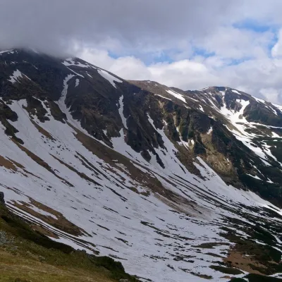 PeakStarorobociański Wierch (Klin)altitude 2 176 m1.5 km from JakubinaStarorobociański Wierch (Slovak: Klin, "the wedge") is a 2,176 m peak on the main ridge of the Western Tatras, which carries the border between Poland and Slovakia.
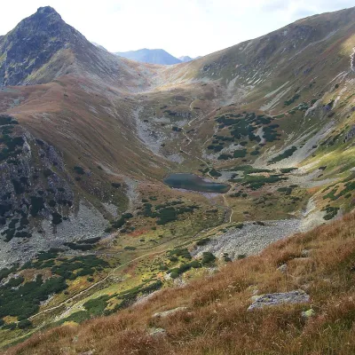 LakeJamnícke plesá2.5 km from JakubinaJamnícke plesá are two glacial lakes in the upper part of Jamnícka dolina in the Western Tatras, in the Liptov region, within Tatra National Park (TANAP).
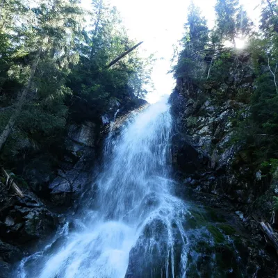 WaterfallRoháčsky WaterfallZuberec5.8 km from JakubinaRoháčsky waterfall (Roháčsky vodopád) is the best-known waterfall of the Western Tatras, in the Roháče massif about 12 km east of the village of Zuberec in Orava.
Craft nearby
All craft places Cheese dairies & pasturesShepherds' Huts on Polana ChochołowskaKościelisko4.9 km from JakubinaPolana Chochołowska is the largest glade in the Polish Tatras and one of the largest in the whole range.
 Cheese dairies & pasturesShepherd's Hut in the Kościeliska ValleyKościelisko9.5 km from JakubinaJózef Słodyczka's bacówka (shepherd's hut) on the Wyżnia Kira Miętusia glade is probably the most easily reached shepherds' hut in the Polish Tatras.
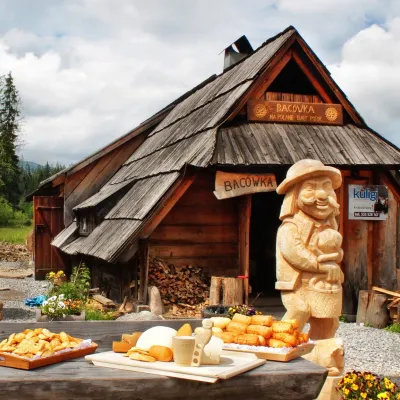 Cheese dairies & pasturesBiały Potok Shepherd's Hut, Witów: oscypek and cheese workshopsKościelisko11 km from JakubinaBiały Potok meadow in the village of Witów lies between the entrances to two of the most visited Tatra valleys, Chochołowska and Kościeliska.
 Water parks & thermal poolsOravice thermal poolsVitanová12 km from JakubinaThe Oravice thermal pools (Termálne kúpalisko Oravice) are the municipal thermal baths in the mountain settlement of Oravice at the foot of the Western Tatras.
 Water parks & thermal poolsMeander Thermal Resort, OraviceVitanová12 km from JakubinaMeander Thermal & Ski Resort (formerly Meander Park) is a thermal water park and ski centre in the mountain settlement of Oravice in northern Slovakia, at the foot of...
 Horse ridingKone vo Východnej: horse rides below the TatrasVýchodná14 km from JakubinaKone vo Východnej (“Horses in Východná”) is a small family horse farm on the meadows above the village of Východná in upper Liptov, with a sweeping view of the High...
