Podbanské
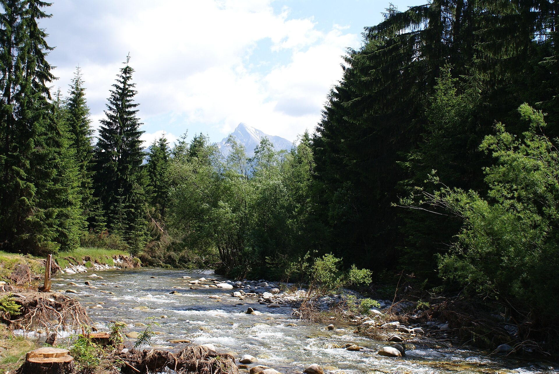
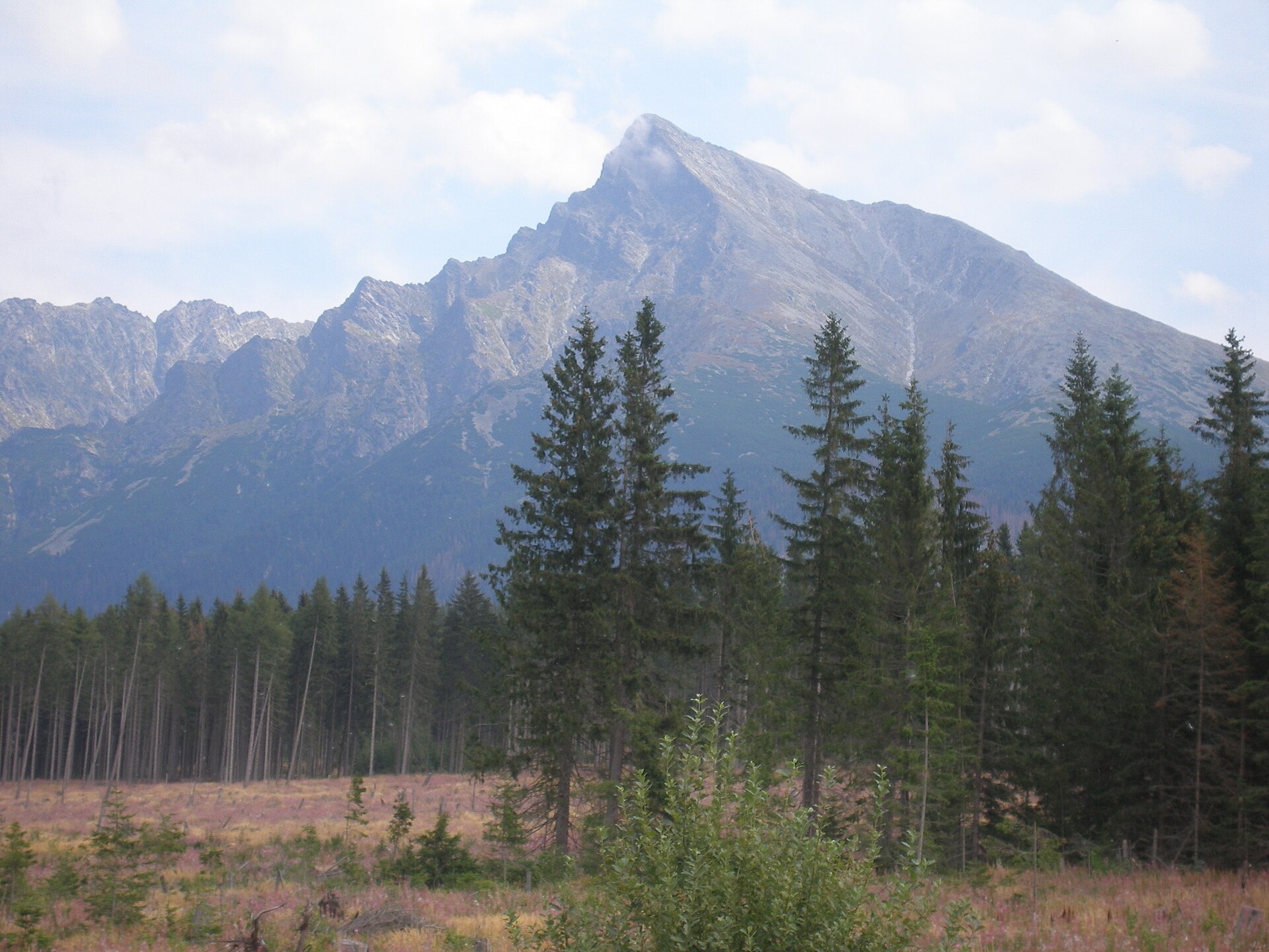
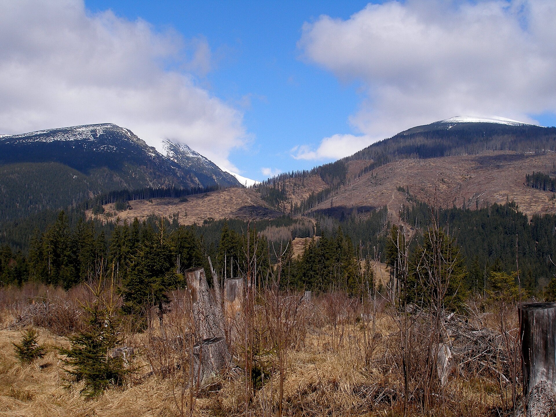
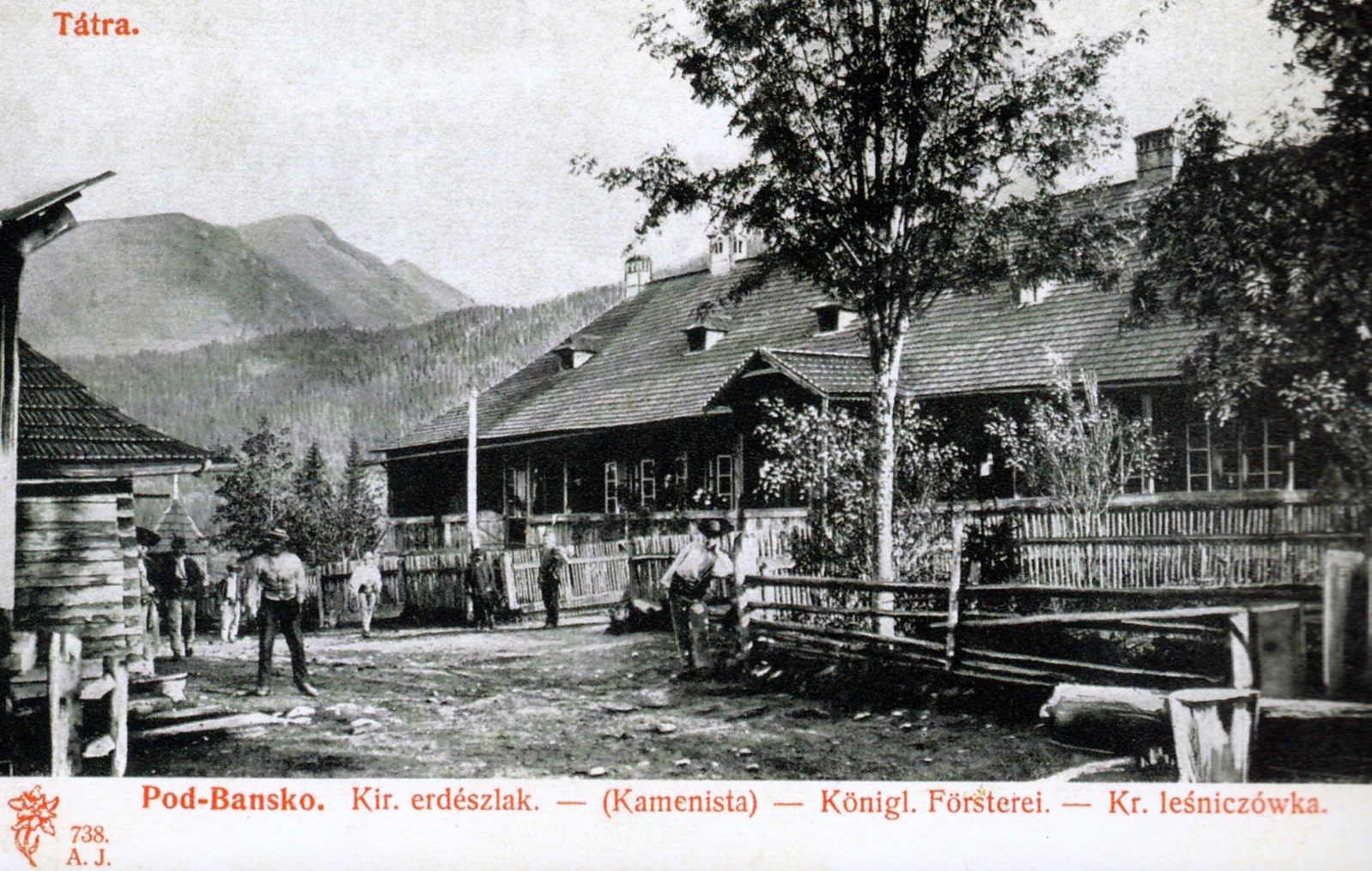
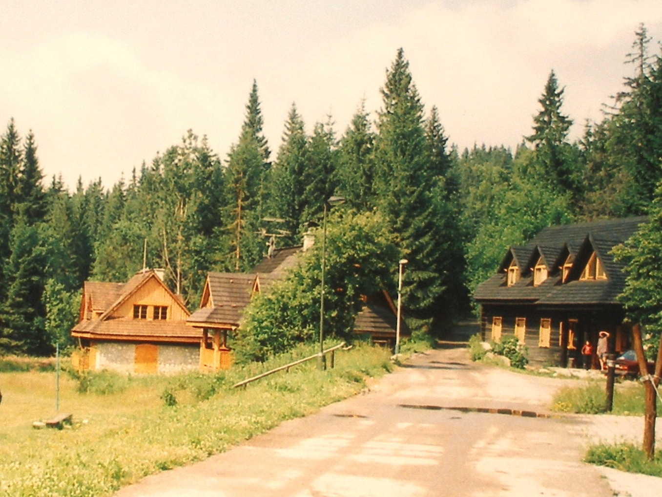
Photos: PhDr. Pavol Svetoň, CC BY-SA 4.0 (Wikimedia Commons); Jozef Kotulič, CC BY-SA 3.0 (Wikimedia Commons); Ing. Mgr. Jozef Kotulič, CC BY-SA 3.0 (Wikimedia Commons); author unknown, Public domain (Wikimedia Commons); Ing.Mgr.Jozef Kotulič, CC BY-SA 4.0 (Wikimedia Commons); Ing.Mgr. Jozef Kotulič, CC BY 3.0 (Wikimedia Commons)
Podbanské is a small settlement in Slovakia, located in the Liptovský Mikuláš District of the Žilina region. It lies at the southern foot of the Western Tatras, on the border with the High Tatras, near the mouth of the Liptovská Tichá Valley and close to the Kamenná Valley. The village sits at an elevation of about 940 m above sea level and consists of two parts on either side of the Biela Liptovská river.
The history of Podbanské is linked to mining operations under the Kriváň peak, which continued until the end of the 18th century. In 1871, a forester’s lodge was built here, marking the founding of the settlement. Later, a sawmill and a spruce bark processing plant appeared. New buildings were constructed only from 1923, and after World War II, Nová Podbanská began to develop.
The area is known for its scenic landscapes of the Western Tatras, proximity to natural attractions, and resort infrastructure. In winter, ski lifts operate here, and in summer, Podbanské attracts tourists as a starting point for exploring valleys and peaks. Nearby are the "Kriváň" and "Permon" hotels. Sights in the area include the Kmeťov Waterfall in the Kôprová Valley, Važecká Cave, and the Museum of the Liptov Village in Pribylina.
Podbanské is an excellent base for active recreation. Numerous hiking trails start here, such as the Tatranská magistrála: Podbanské – Veľké Biele pleso, Pyšné Saddle – Podbanské, and Podbanské – Suché Saddle. Mountain lovers can climb the peaks of Bystrá and Jakubina. The region also offers the Východná organic farm and horseback riding in Východná.
Getting there from Ukraine
Uzhhorod – Poprad ≈195 km, ≈2 h 55 min without queues: Uzhhorod – Vyšné Nemecké checkpoint → I/19 via Sobrance and Michalovce → Košice → D1 motorway via Prešov → Poprad (Liptovský Mikuláš is ≈56 km further on the D1, total ≈249 km). Košice – Poprad ≈112 km. The D1 requires an e-vignette (eznamka.sk). Note: from Lviv the fastest way to Poprad is through Poland — Krakovets – A4 – Kraków – Zakopane – Łysa Polana ≈468 km (≈5 h 50 min); via Uzhok and Malyi Bereznyi ≈419 km but slower (≈6 h 40 min). Zakopane – Poprad ≈69 km, Zakopane – Liptovský Mikuláš ≈80 km.
Sources: Wikipedia, Wikidata, OpenStreetMap, Karpaty.rocks data. More on Wikipedia
Trails nearby
All trails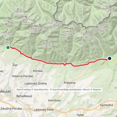 ModerateTwo-dayMarkedTatranská magistrála (Tatra Highway): Na Tokarinách PodbanskéElevation profile789–1 043 m22.2 kmascent 580 m≈ 6.5 h walkingunder 1 km from the centre
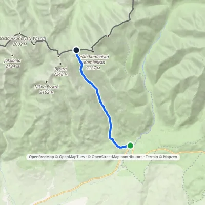 ModerateOne-dayMarkedPyšné sedlo PodbanskéElevation profile929–1 785 m8.2 kmascent 856 m≈ 4 h walkingunder 1 km from the centre
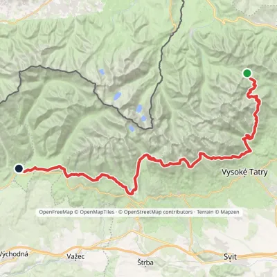 HardMulti-dayMarkedTatranská magistrála (Tatra Highway): Podbanské Veľké Biele plesoElevation profile929–2 043 m50.1 kmascent 1 639 munder 1 km from the centre
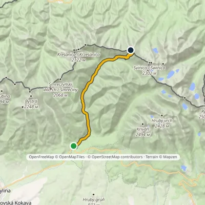 ModerateTwo-dayMarkedPodbanské Suché SaddleElevation profile928–1 946 m16.2 kmascent 1 020 m≈ 6 h walkingunder 1 km from the centre
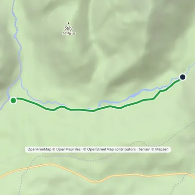 EasyOne-dayMarkedHoráreň Tichá Junction below GrúnikElevation profile986–1 109 m3.4 kmascent 123 m≈ 1 h walking1.6 km from the centre
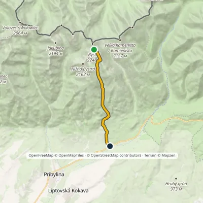 HardOne-dayMarkedHrdovo BystráElevation profile849–2 248 m9.1 kmascent 1 399 m≈ 5 h walking3.2 km from the centre
Peaks nearby
All peaks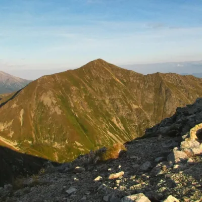 PeakBystráPodbanskéaltitude 2 248 m6.6 km from the centre2 trails to the topBystrá (Polish: Bystra) is the highest peak of the Western Tatras at 2,248 m. It lies entirely in Slovakia, about 600 m south of the main ridge that carries the Polish...
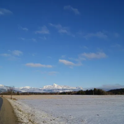 PeakKriváňŠtrbské Plesoaltitude 2 495 m7.5 km from the centre1 trail to the topKriváň (Polish Krywań) is a 2495 m peak (precisely 2494.7 m) in the south-western part of the High Tatras in Slovakia.
 PeakJakubinaPodbanskéaltitude 2 194 m9.2 km from the centreJakubina (Polish Raczkowa Czuba) is a 2,194 m summit in the Western Tatras, the second-highest of the range after Bystrá (2,248 m).
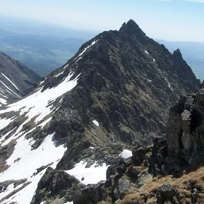 PeakVeľké SoliskoŠtrbské Plesoaltitude 2 412 m9.7 km from the centreVeľké Solisko (Polish: Wielkie Solisko) is a 2,412 m peak in the Slovak High Tatras and the highest point of the Solisko ridge.
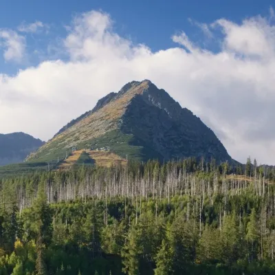 PeakPredné SoliskoŠtrbské Plesoaltitude 2 117 m10 km from the centrePredné Solisko (Polish Skrajne Solisko) is a 2117 m summit at the southern end of the Solisko ridge in the High Tatras, above the resort of Štrbské Pleso, about 20 km...
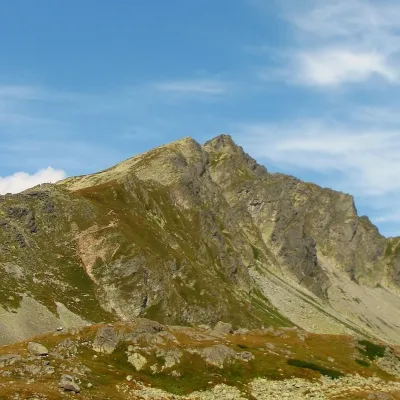 PeakKôprovský štítVyšné Hágyaltitude 2 363 m11 km from the centreKôprovský štít (Polish Koprowy Wierch, German Dillenspitze) is a prominent High Tatras peak in Slovakia, 2363 m high according to Slovak data (Polish and German...
What to visit
All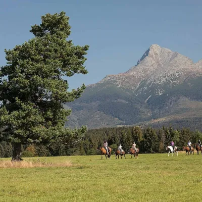 Horse ridingKone vo Východnej: horse rides below the TatrasVýchodná6 km from the centreKone vo Východnej (“Horses in Východná”) is a small family horse farm on the meadows above the village of Východná in upper Liptov, with a sweeping view of the High...
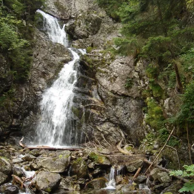 WaterfallKmeťov Waterfall in Kôprová ValleyPodbanské6.7 km from the centreKmeťov waterfall (Kmeťov vodopád) is a powerful two-step waterfall in the Kôprová dolina valley in the western High Tatras.
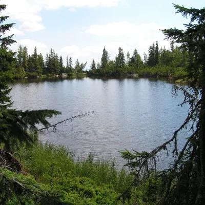 LakeJamské plesoVyšné Hágy8.1 km from the centreJamské pleso is a small forest lake at the foot of Kriváň, an hour's walk west of Štrbské Pleso. It lies at 1,447 m among the massive moraine ridges of Važecká dolina,...
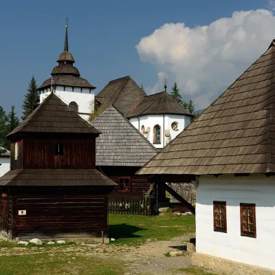 MuseumMuseum of the Liptov Village (Pribylina open-air museum)Pribylina8.3 km from the centreThe Museum of the Liptov Village (Múzeum liptovskej dediny) lies beyond the village of Pribylina on the road to Podbanské, right below the High Tatras.
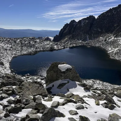 LakeWahlenbergove plesáVyšné Hágy9.3 km from the centreWahlenbergove plesá are two glacial lakes in the upper part of Furkotská dolina in the western High Tatras, within Tatra National Park (TANAP).
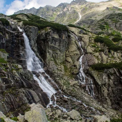 WaterfallSkok WaterfallŠtrbské Pleso10 km from the centreSkok (Vodopád Skok) is one of the most beautiful waterfalls of the Slovak Tatras. Here the Mlynica stream drops over a rock step that blocks the middle part of the...
Craft nearby
All craft places Eco farmsFarma Východná — organic farm below the TatrasVýchodná8.5 km from the centreFarma Východná is the highest-lying organic farm in Liptov, at 930 m in the village of Východná right below the Tatras.
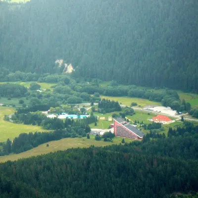 Water parks & thermal poolsTERMAL raj thermal bath, Liptovský JánLiptovský Ján20 km from the centreLiptovský Ján: thermal water at the entrance to Jánska dolina Liptovský Ján is an old village in southern Liptov, about 10 km from Liptovský Mikuláš, at the entrance...
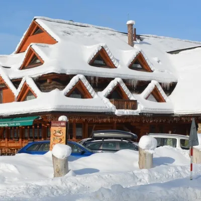 Koliby & Hutsul cuisineKoliba Strachanovka, Jánska valleyLiptovský Ján21 km from the centreKoliba Strachanovka (Jánska koliba) is a large wooden koliba at the entrance to the Jánska valley in the village of Liptovský Ján, which locals consider one of the...
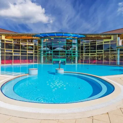 Water parks & thermal poolsMeander Thermal Resort, OraviceVitanová21 km from the centreMeander Thermal & Ski Resort (formerly Meander Park) is a thermal water park and ski centre in the mountain settlement of Oravice in northern Slovakia, at the foot of...
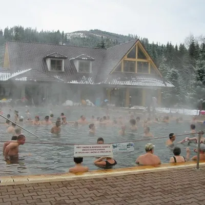 Water parks & thermal poolsOravice thermal poolsVitanová21 km from the centreThe Oravice thermal pools (Termálne kúpalisko Oravice) are the municipal thermal baths in the mountain settlement of Oravice at the foot of the Western Tatras.
 Craft beer & breweriesLiptovar brewery, Liptovský Mikuláš: craft beer and brewpubLiptovský Mikuláš22 km from the centreLiptovský Mikuláš is the main town of the Liptov region, a short drive from the Low and Western Tatras, the Demänovská Valley and the Liptovská Mara reservoir.
Spas and thermal pools nearby
Water parks & thermal poolsTERMAL raj thermal bath, Liptovský JánLiptovský Ján20 km from the centreLiptovský Ján: thermal water at the entrance to Jánska dolina Liptovský Ján is an old village in southern Liptov, about 10 km from Liptovský Mikuláš, at the entrance...Water parks & thermal poolsMeander Thermal Resort, OraviceVitanová21 km from the centreMeander Thermal & Ski Resort (formerly Meander Park) is a thermal water park and ski centre in the mountain settlement of Oravice in northern Slovakia, at the foot of...Water parks & thermal poolsOravice thermal poolsVitanová21 km from the centreThe Oravice thermal pools (Termálne kúpalisko Oravice) are the municipal thermal baths in the mountain settlement of Oravice at the foot of the Western Tatras.Huts, shelters and springs nearby
Getting there from Ukraine
Border crossings
- Uzhhorod – Vyšné Nemecké — road, 24/7
- Malyi Bereznyi – Ubľa — road, 24/7 For cars and buses; pedestrians not confirmed by the Ukrainian border service, lorries up to 3.5 t.
- Mali Selmentsi – Veľké Slemence (pedestrian) — pedestrian, 09:00–21:00 Kyiv time Pedestrians and cyclists only; inconvenient for the Tatras without onward transport.
- Chop – Čierna nad Tisou (rail) — rail, 24/7
By car
Uzhhorod – Poprad ≈195 km, ≈2 h 55 min without queues: Uzhhorod – Vyšné Nemecké checkpoint → I/19 via Sobrance and Michalovce → Košice → D1 motorway via Prešov → Poprad (Liptovský Mikuláš is ≈56 km further on the D1, total ≈249 km). Košice – Poprad ≈112 km. The D1 requires an e-vignette (eznamka.sk). Note: from Lviv the fastest way to Poprad is through Poland — Krakovets – A4 – Kraków – Zakopane – Łysa Polana ≈468 km (≈5 h 50 min); via Uzhok and Malyi Bereznyi ≈419 km but slower (≈6 h 40 min). Zakopane – Poprad ≈69 km, Zakopane – Liptovský Mikuláš ≈80 km.
Checked 23.10.2026; border crossing hours and timetables change — check before you travel.
