Predné Solisko
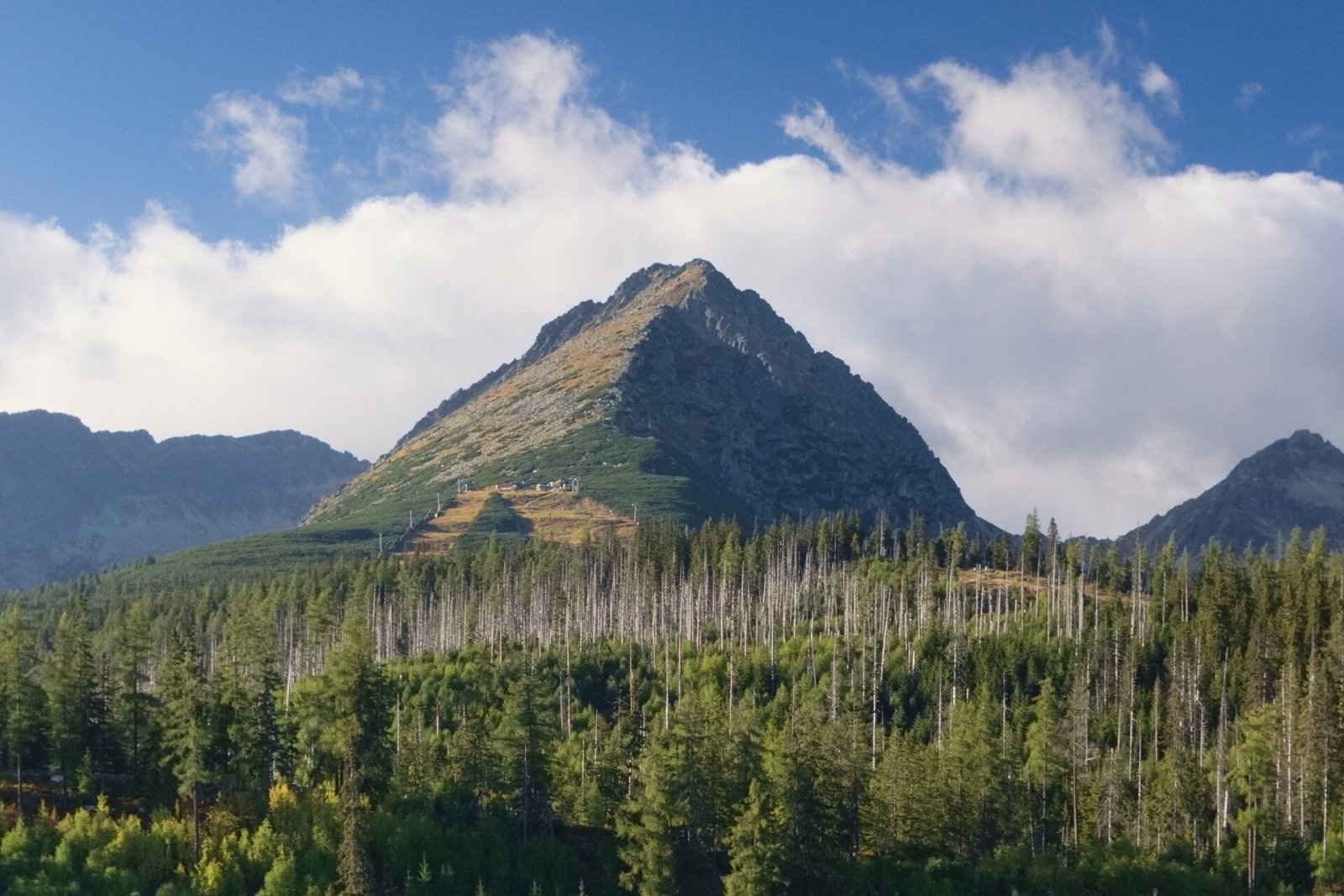
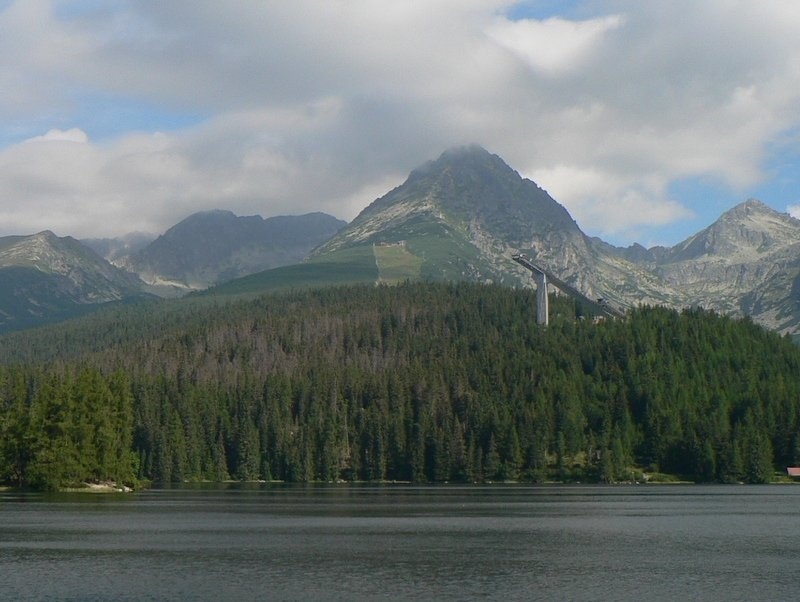
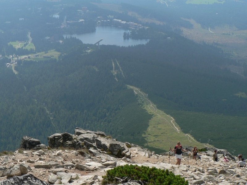
Predné Solisko (Polish Skrajne Solisko) is a 2117 m summit at the southern end of the Solisko ridge in the High Tatras, above the resort of Štrbské Pleso, about 20 km west of Poprad. Thanks to easy access and its position on the edge of the range it offers a fine view, and the mountain is best known for its ski centre with a chairlift and a hut on its southern slopes. It lies in the Prešov Region, Poprad District, in the cadastre of Štrba, within the Tatra National Park (TANAP).
Predné Solisko is the southernmost peak of the Solisko ridge; the Soliskové sedlo separates it from Mlynické Solisko. The ridge divides the Mlynická and Furkotská valleys and carries the watershed of two seas: the Furkotský potok from the western slopes flows to the Biely Váh and on to the Black Sea, the Mlynica from the eastern slopes via the Poprad and Dunajec to the Baltic. The ridge also forms the boundary of the Furkotská dolina and Mlynická dolina national nature reserves. Towards Štrbské Pleso the mountain falls in a long slope covered by dwarf pine and scree in the middle and by forest lower down.
How to get there / routes
- Blue trail from Štrbské Pleso below the chairlift to Chata pod Soliskom (about 1830–1840 m), then the red trail steeply up to the summit. By the map the whole ascent takes about 3 h 05 min; the section from the hut about 1 h up, 30 min down.
- Less fit walkers can ride the chairlift from Štrbské Pleso to the hut, in operation since 1969 (a ski lift ran here in 1943–1969).
- The hut can also be reached from the Furkotská dolina side (about 15 min from the junction), then by the same red trail.
What you can see from the top
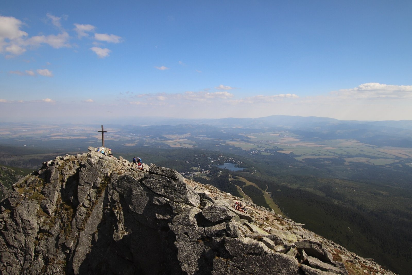
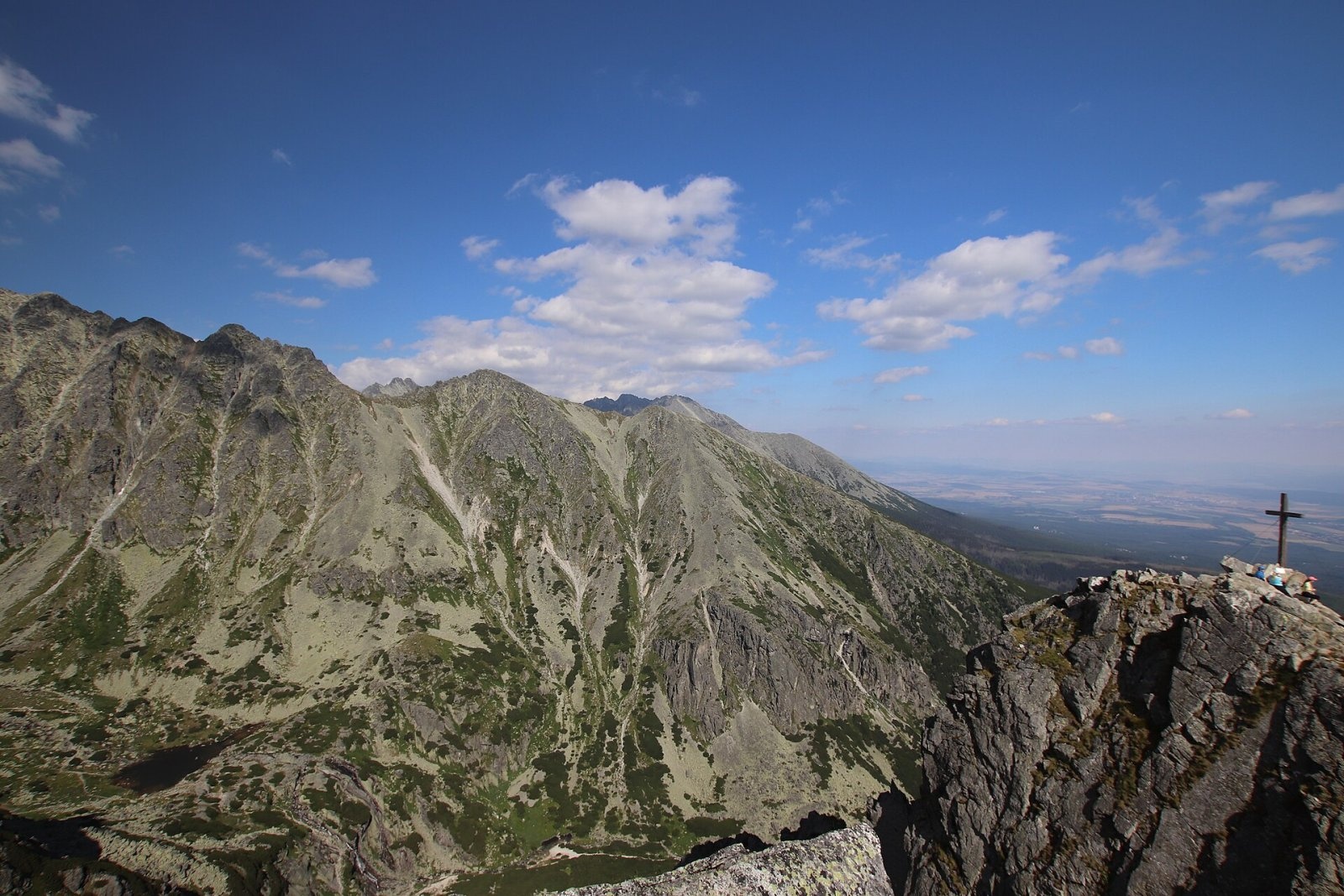
The view faces mainly south – over Spiš and Liptov, the plain below the Tatras and the Štrbské pleso lake far below. The Tatras themselves are less visible: the view is limited to the Furkotská and Mlynická valleys, above which rise the neighbouring peaks of the Solisko ridge, Kriváň and Štrbský štít.
Nature and history
The name comes from a "solisko" – a place where shepherds left salt for the cows and sheep they grazed in the Mlynická and Furkotská valleys. Later cartographers mistakenly transferred the name to the whole ridge and its peaks. Walkers have climbed the mountain since long ago, but the first documented ascent was made by Günter Oskar Dyhrenfurth and Hermann Rumpelt on 3 June 1906. On 5 October 2013 a wooden cross about 3 m tall was put up on the summit to mark the 10th anniversary of the rebuilt Chata pod Soliskom.
The mountain's southern spur is tied to skiing history: at the mouth of the Mlynická dolina a wooden ski jump was built in 1927, and in 1935 it hosted the first FIS Nordic World Ski Championships held in Slovakia; a new jump complex was built for the 1970 World Championships. The first ski lift in Slovakia (1943) also led up the southern slope of Predné Solisko.
Safety, season and rules
The summit lies in TANAP: walk only on marked trails. High-mountain trails in the Tatra National Park are closed every year from 1 November to 31 May; according to press reports Predné Solisko is traditionally an exception visited in winter too – check current conditions on the TANAP website. In winter the slope can be icy and proper equipment is needed. There is no water or shelter above the hut. Mountain Rescue Service (HZS): 18 300 (+421 18 300); general emergency number 112.
Interesting facts
- Predné Solisko is one of the few 2000-metre summits of the High Tatras open to hikers.
- A three-metre wooden cross from 2013 stands on the top.
- The Black Sea–Baltic watershed runs along the Solisko ridge.
Photos: Adrian Tync, CC BY-SA 4.0; Vavrik, Public domain; Andrzej Otrębski, CC BY-SA 4.0; Andrzej Otrębski, CC BY-SA 4.0; Martin Vavřík, Public domain — Wikimedia Commons.
Getting there from Ukraine
Border crossings
- Uzhhorod – Vyšné Nemecké — road, 24/7
- Malyi Bereznyi – Ubľa — road, 24/7 For cars and buses; pedestrians not confirmed by the Ukrainian border service, lorries up to 3.5 t.
- Mali Selmentsi – Veľké Slemence (pedestrian) — pedestrian, 09:00–21:00 Kyiv time Pedestrians and cyclists only; inconvenient for the Tatras without onward transport.
- Chop – Čierna nad Tisou (rail) — rail, 24/7
By car
Uzhhorod – Poprad ≈195 km, ≈2 h 55 min without queues: Uzhhorod – Vyšné Nemecké checkpoint → I/19 via Sobrance and Michalovce → Košice → D1 motorway via Prešov → Poprad (Liptovský Mikuláš is ≈56 km further on the D1, total ≈249 km). Košice – Poprad ≈112 km. The D1 requires an e-vignette (eznamka.sk). Note: from Lviv the fastest way to Poprad is through Poland — Krakovets – A4 – Kraków – Zakopane – Łysa Polana ≈468 km (≈5 h 50 min); via Uzhok and Malyi Bereznyi ≈419 km but slower (≈6 h 40 min). Zakopane – Poprad ≈69 km, Zakopane – Liptovský Mikuláš ≈80 km.
Checked 23.10.2026; border crossing hours and timetables change — check before you travel.
Location on the map
Water and shelter nearby
- Spring below Predné Solisko510 m · Not verified · 1 788 m
- Solisko Hut600 m · Standing · 1 840 m
- Spring below Jamy1.9 km · Not verified · 1 475 m
- Captured spring below Patria2.2 km · Not verified · 1 534 m
- Bieleho Váhu Spring2.6 km · Not verified · 1 828 m
- Bumburová voda Spring2.6 km · Not verified · 1 585 m
- Majláth Hut2.9 km · Standing · 1 500 m
- Lúčny potok Spring3 km · Not verified · 1 308 m
Comments
Trails nearby
All trails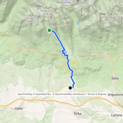 ModerateOne-dayMarkedŠkutnastá Meadow Štrba, stationElevation profile894–1 826 m9.8 kmascent 56 m≈ 2.5 h walkingunder 1 km from Predné Solisko
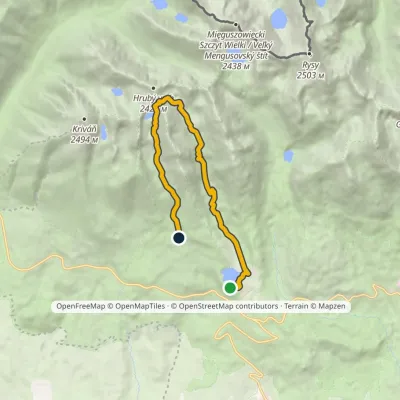 HardOne-dayMarkedŠtrbské Pleso Junction below Furkotská ValleyElevation profile1 349–2 298 m12.4 kmascent 945 m≈ 5 h walkingunder 1 km from Predné Solisko
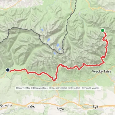 HardMulti-dayMarkedTatranská magistrála (Tatra Highway): Podbanské Veľké Biele plesoElevation profile929–2 043 m50.1 kmascent 1 639 m1.8 km from Predné Solisko
Nearby attractions
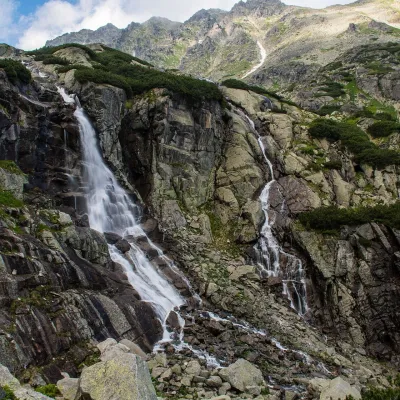 WaterfallSkok WaterfallŠtrbské Plesounder 1 km from Predné SoliskoSkok (Vodopád Skok) is one of the most beautiful waterfalls of the Slovak Tatras. Here the Mlynica stream drops over a rock step that blocks the middle part of the...
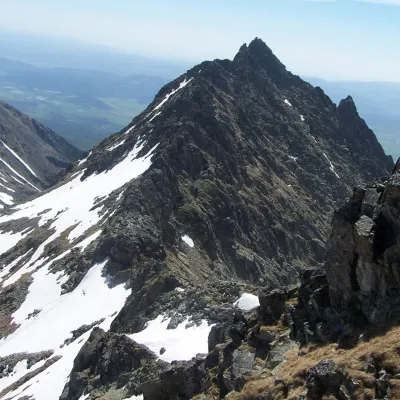 PeakVeľké SoliskoŠtrbské Plesoaltitude 2 412 m1.5 km from Predné SoliskoVeľké Solisko (Polish: Wielkie Solisko) is a 2,412 m peak in the Slovak High Tatras and the highest point of the Solisko ridge.
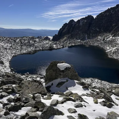 LakeWahlenbergove plesáVyšné Hágy1.9 km from Predné SoliskoWahlenbergove plesá are two glacial lakes in the upper part of Furkotská dolina in the western High Tatras, within Tatra National Park (TANAP).
Craft nearby
All craft places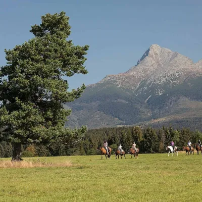 Horse ridingKone vo Východnej: horse rides below the TatrasVýchodná11 km from Predné SoliskoKone vo Východnej (“Horses in Východná”) is a small family horse farm on the meadows above the village of Východná in upper Liptov, with a sweeping view of the High...
 Water parks & thermal poolsClimatic spas of the High Tatras: Nový Smokovec, Polianka, KotlinaVysoké Tatry13 km from Predné SoliskoNový Smokovec is the best known of the climatic spas of the High Tatras. It grew up in a spruce forest at about 1010 m, south-west of Starý Smokovec, with which it...
 Cheese dairies & pasturesShepherd's Hut on Rusinowa PolanaBrzegi13 km from Predné SoliskoRusinowa Polana is one of the most beautiful mountain glades in the Polish Tatras, and from May to October it is home to the bacówka (shepherd's hut) of baca Stanisław...
 Eco farmsFarma Východná — organic farm below the TatrasVýchodná14 km from Predné SoliskoFarma Východná is the highest-lying organic farm in Liptov, at 930 m in the village of Východná right below the Tatras.
 Cheese dairies & pasturesFurtek's Shepherd's Huts, Kuźnice and KalatówkiZakopane14 km from Predné SoliskoAbove Kuźnice — the southern edge of Zakopane where most hikes into the Western and High Tatras begin — the flocks are tended by baca Andrzej Staszel, nicknamed "Furtek".
 Koliby & Hutsul cuisineBąkowo Zohylina Wyźnio Highland TavernZakopane16 km from Predné SoliskoBąkowo Zohylina Wyźnio is a regional highland tavern in Zakopane housed in a wooden "szałas" (shepherd-hut-style building) with a view of the Tatras.
