Prešov Region
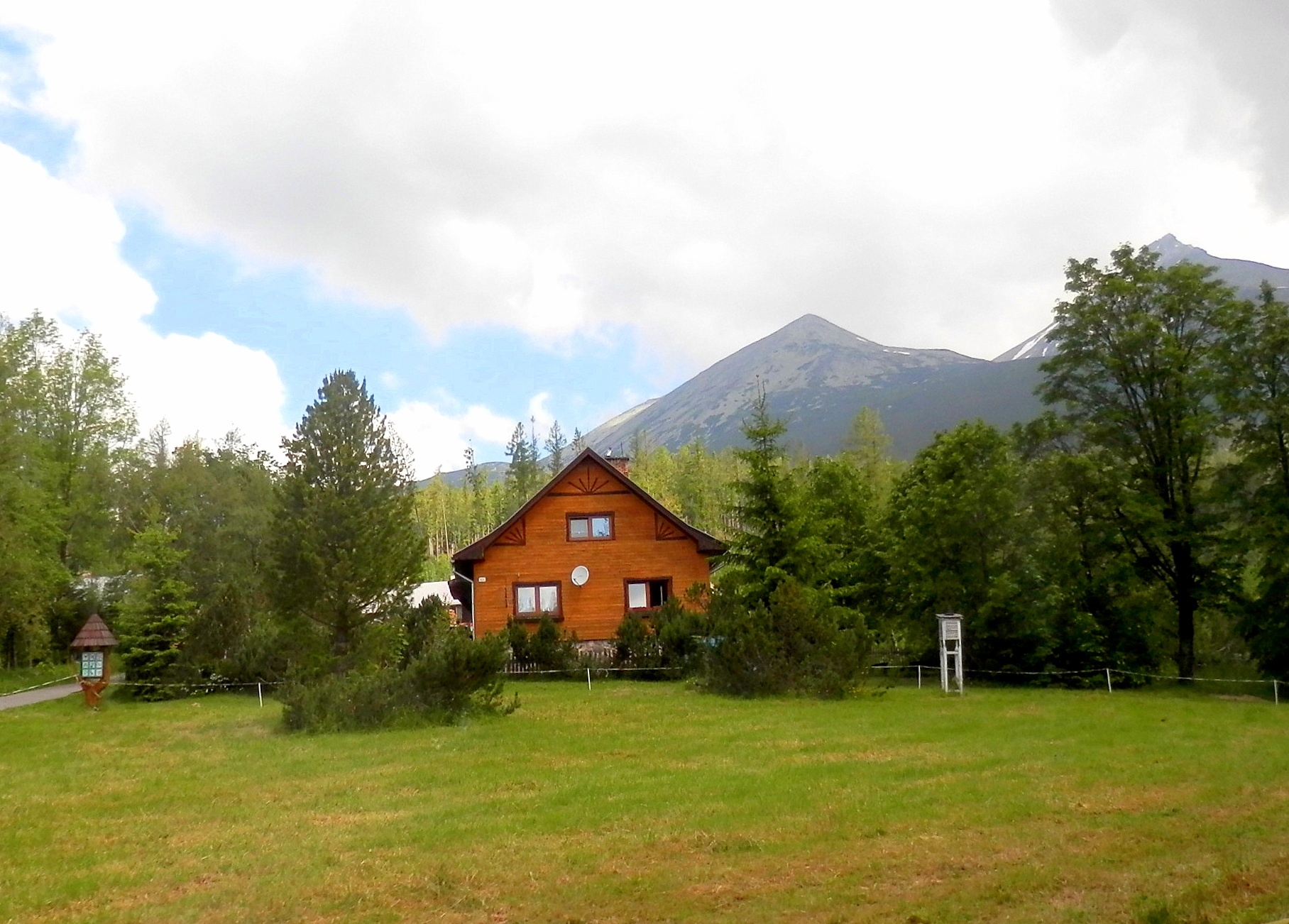
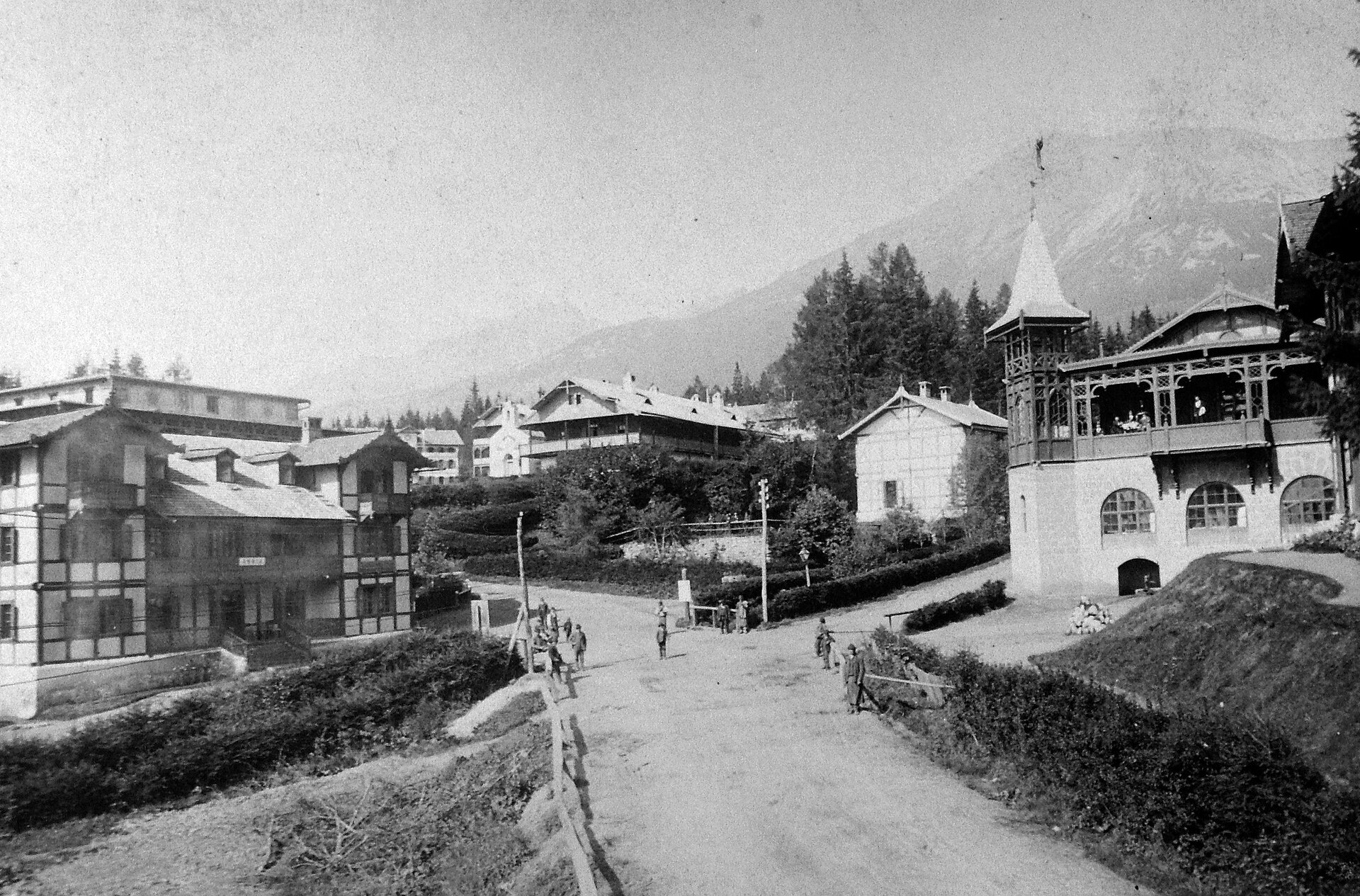
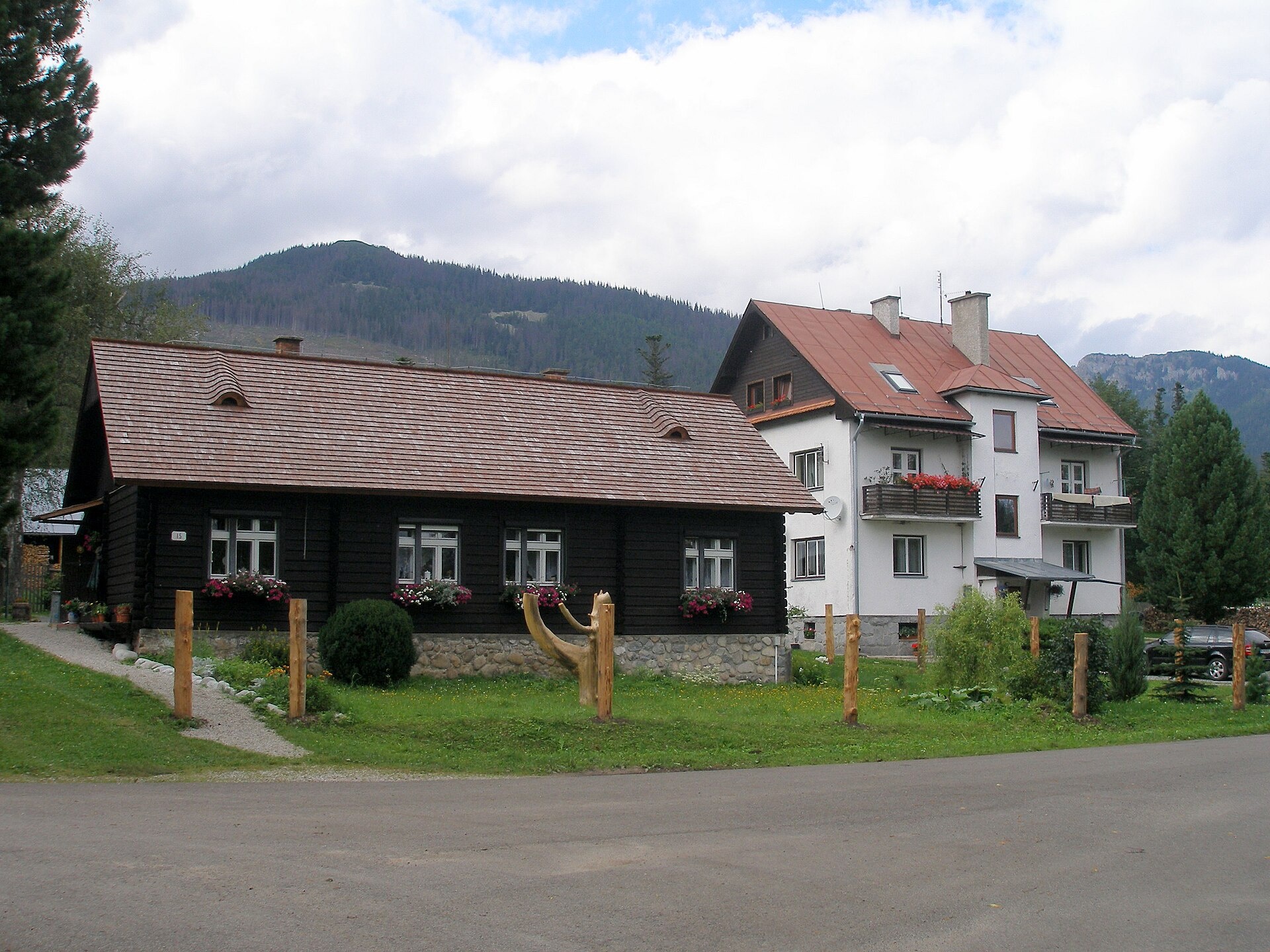
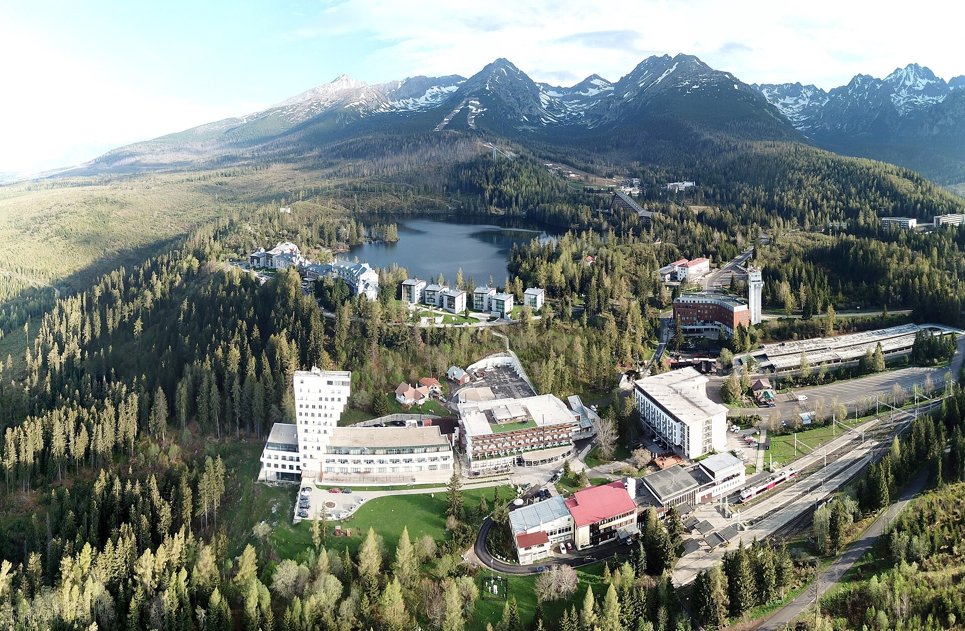
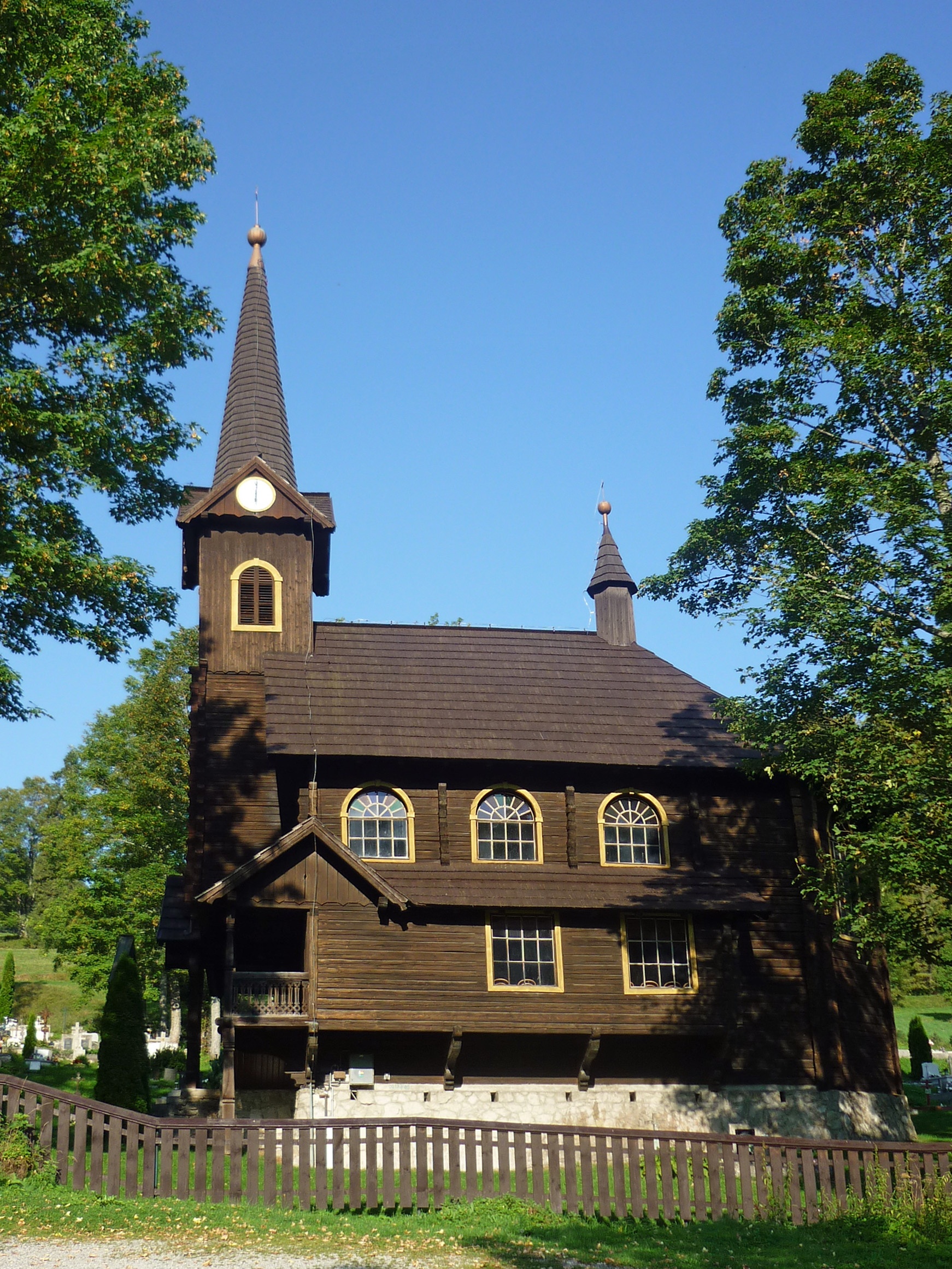
Photos: Vyšné Hágy (Ing.Mgr.Jozef Kotulič, CC BY-SA 3.0); Starý Smokovec (FOTO:Fortepan — ID 11811: Adományozó/Donor: Unknown., Public domain); Kežmarské Žľaby (Doko Ing. Mgr. Jozef Kotulič, CC BY-SA 3.0); Štrbské Pleso (VargaA, CC BY-SA 4.0); Tatranská Javorina (SchiDD, CC BY-SA 4.0)
Prešov Region is an administrative unit in northeastern Slovakia, with its centre in the city of Prešov. The region was established in 1996 during a reorganisation from the former Eastern Slovak Region. It borders Poland to the north, Ukraine to the east, Košice Region to the south, and Banská Bystrica and Žilina Regions to the west. The territory consists of 13 districts and 23 towns, including Prešov, Poprad, Bardejov, Humenné, and Snina.
The Prešov Region is known for its diverse mountain ranges: it covers parts of the Eastern Carpathians, Low and Western Beskids, Vihorlat, Čergov Mountains, Spišská Magura, Levoča Hills, as well as lowlands and basins. The climate is moderately continental and varies with altitude. Notable natural features include peaks such as Kriváň, Gerlachovský štít, Lomnický štít, Vihorlat, and several mountain passes.
The site features objects in districts like Poprad, Stará Ľubovňa, Bardejov, Prešov, Levoča, Svidník, Sabinov, and Snina. Available are trails such as the Tatranská magistrála and Runina – Sedlo pod Ďurkovcom, as well as huts like Rainer's Hut and Téryho chata. Among the sights are Belianska Cave, Kežmarok Castle, Basilica of St. James in Levoča, and crafts like Nestville Distillery and rafting on the Dunajec. For relaxation, there are AquaCity Poprad, Bardejovské Kúpele, and High Tatras resorts.
Getting there from Ukraine
From Uzhhorod ≈138 km, ≈2 h 30 min without queues: Uzhhorod – Vyšné Nemecké → I/19 to Michalovce → I/18 via Vranov nad Topľou towards Prešov → I/545 to Bardejov (≈133 km, ≈2 h 20 min from the border). From Lviv it is faster through Poland: M-10 → Krakovets – Korczowa → A4 to Dębica → DK73 to Jasło → DK28 to Gorlice → DW977 over the internal Schengen crossing Konieczna – Becherov → I/545 to Bardejov: ≈329 km, ≈5 h 10 min (≈251 km, ≈3 h 40 min from the border). Via the Uzhok Pass and Ubľa ≈345 km, ≈6 h 20 min.
Sources: Wikipedia, Wikidata, OpenStreetMap, Karpaty.rocks data.
Towns, villages and districts
 Poprad Districtokres Poprad68 trails, 22 peaks, 25 sights
 Stará Ľubovňa Districtokres Stará Ľubovňa43 trails, 1 peak, 3 sights
 Bardejov Districtokres Bardejov32 trails, 1 peak, 4 sights
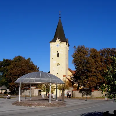 Prešov Districtokres Prešov32 trails, 1 peak, 2 sights
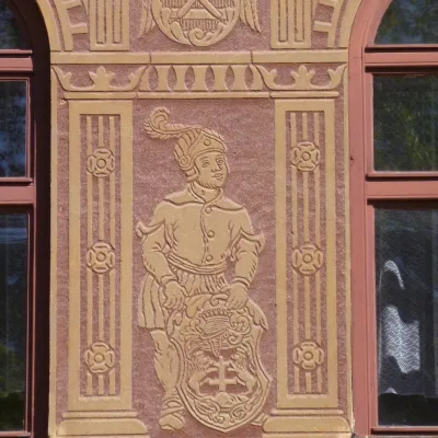 Levoča Districtokres Levoča22 trails, 2 peaks, 3 sights
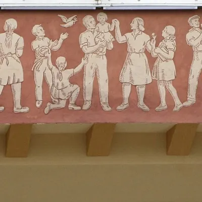 Svidník Districtokres Svidník19 trails, 7 sights, 21 settlements
 Sabinov Districtokres Sabinov23 trails, 1 craft place, 16 settlements
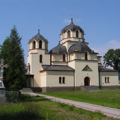 Snina Districtokres Snina20 trails, 1 peak, 3 sights
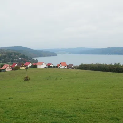 Vranov nad Topľou Districtokres Vranov nad Topľou20 trails, 1 sight, 1 mountain hut or shelter
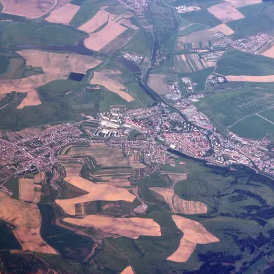 Kežmarok Districtokres Kežmarok10 trails, 5 sights, 1 craft place
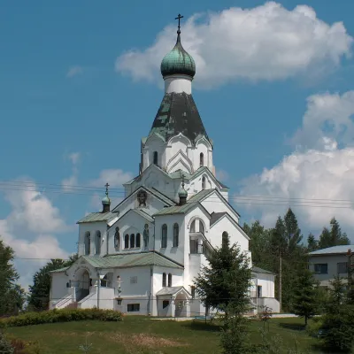 Medzilaborce Districtokres Medzilaborce9 trails, 2 sights, 9 settlements
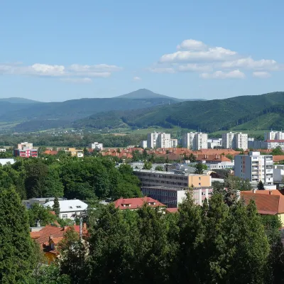 Humenné Districtokres Humenné6 trails, 3 peaks, 1 sight
Getting there from Ukraine
Border crossings
- Uzhhorod – Vyšné Nemecké — road, 24/7
- Malyi Bereznyi – Ubľa — road, 24/7 For cars and buses; pedestrians not confirmed by the Ukrainian border service, lorries up to 3.5 t.
- Mali Selmentsi – Veľké Slemence (pedestrian) — pedestrian, 09:00–21:00 Kyiv time Pedestrians and cyclists only; inconvenient for the Tatras without onward transport.
- Chop – Čierna nad Tisou (rail) — rail, 24/7
By car
From Uzhhorod ≈138 km, ≈2 h 30 min without queues: Uzhhorod – Vyšné Nemecké → I/19 to Michalovce → I/18 via Vranov nad Topľou towards Prešov → I/545 to Bardejov (≈133 km, ≈2 h 20 min from the border). From Lviv it is faster through Poland: M-10 → Krakovets – Korczowa → A4 to Dębica → DK73 to Jasło → DK28 to Gorlice → DW977 over the internal Schengen crossing Konieczna – Becherov → I/545 to Bardejov: ≈329 km, ≈5 h 10 min (≈251 km, ≈3 h 40 min from the border). Via the Uzhok Pass and Ubľa ≈345 km, ≈6 h 20 min.
Checked 23.10.2026; border crossing hours and timetables change — check before you travel.
