Vyšné Hágy

Photos: Ing.Mgr.Jozef Kotulič, CC BY-SA 3.0 (Wikimedia Commons); Midnight Runner, CC BY-SA 3.0 (Wikimedia Commons); author unknown, Public domain (Wikimedia Commons); Ing.Mgr.Jozef Kotulič, CC BY-SA 4.0 (Wikimedia Commons); Jozef Kotulič, CC BY 4.0 (Wikimedia Commons); Midnight Runner, CC BY-SA 3.0 (Wikimedia Commons)
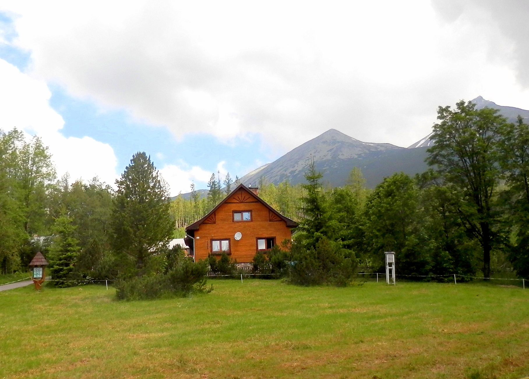
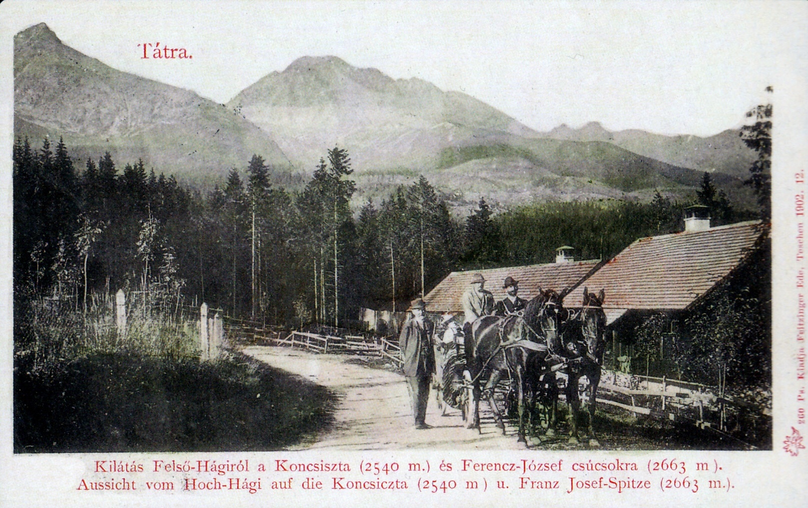
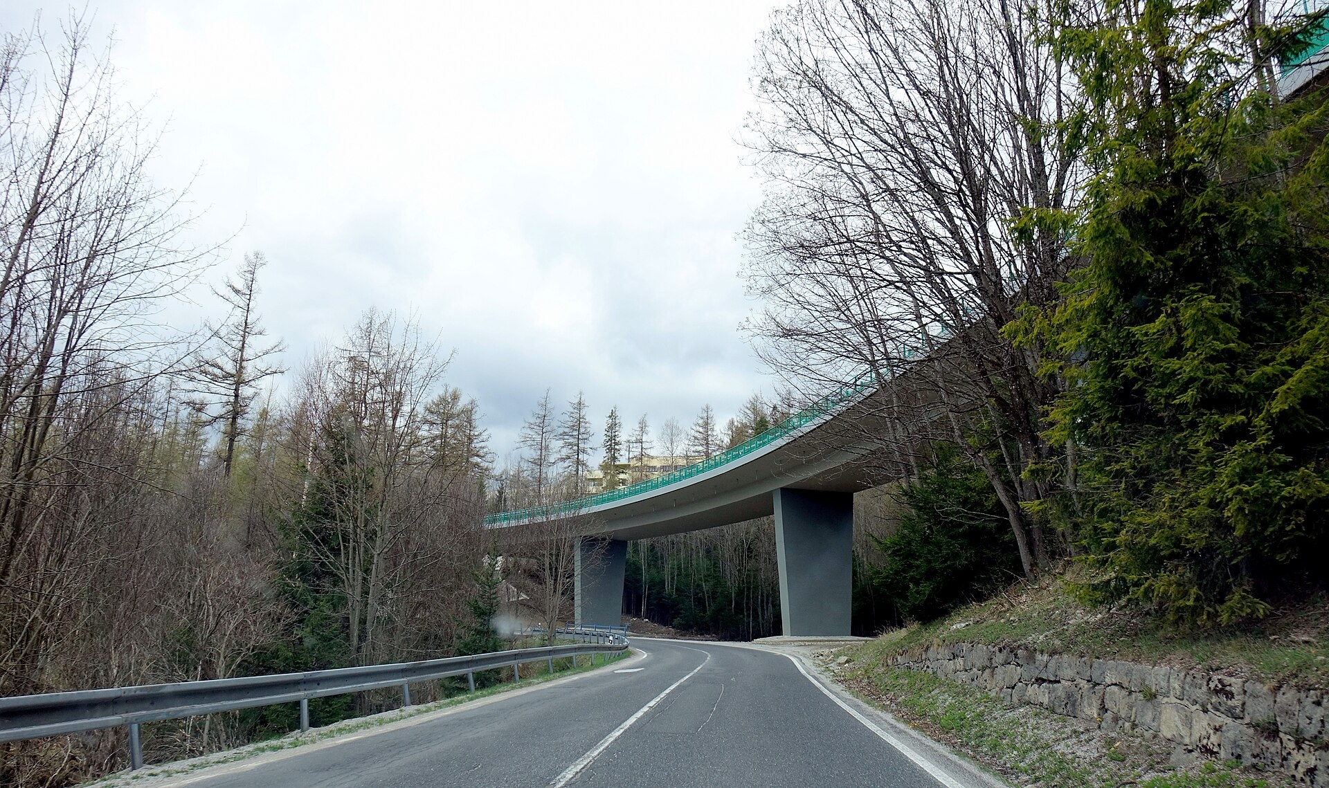
Vyšné Hágy is a settlement that forms part of the town of Vysoké Tatry, located in the Poprad District of Slovakia's Prešov Region. Set at about 1125 m above sea level on the southern slopes of the High Tatras, it lies near the mouth of the Batizovská Valley into the Poprad Basin. The panorama includes peaks such as Končistá, Batizovský štít, and Gerlachovský štít. Vyšné Hágy is situated along the Road of Freedom and is served by the Tatra Electric Railway.
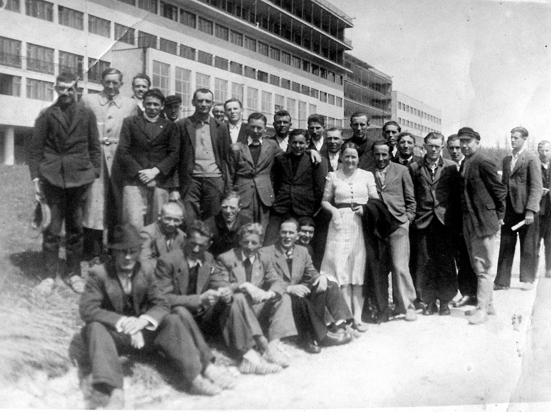
The history of the settlement dates back to 1881, when the first hotel and several wooden villas were built here by Ferenc Máriássy. In 1897, Prince Hohenlohe became the owner and expanded the hotel infrastructure. After World War I, the area became the property of Czechoslovakia, which established a sanatorium. In 1941, a large tuberculosis sanatorium was opened, at the time the largest in Central Europe.
Vyšné Hágy is primarily known as a climatic resort and a center for the treatment of lung diseases. Its dominant feature is the National Institute of Tuberculosis, Lung Diseases, and Thoracic Surgery. The surrounding nature is rich in valleys, streams, and mountain landscapes. The settlement is near the source of the Suchá voda Batizovská stream, and popular hiking trails to Batizovské pleso and other High Tatras attractions pass nearby.
Visitors to Vyšné Hágy and the surrounding area can enjoy numerous hiking trails, including the yellow trail from Nižné Hágy through the Stwolska Valley to Batizovské pleso. Nearby, you can ascend peaks such as Kriváň, Gerlachovský štít, and Končistá, or visit lakes like Popradské pleso, Štrbské pleso, and Batizovské pleso. Mountain huts in the region include Téryho chata, Chata pri Popradskom plese, and Rainerova chata. The area also features climatic resorts of the High Tatras: Nový Smokovec, Polianka, and Kotlina.
Getting there from Ukraine
Uzhhorod – Poprad ≈195 km, ≈2 h 55 min without queues: Uzhhorod – Vyšné Nemecké checkpoint → I/19 via Sobrance and Michalovce → Košice → D1 motorway via Prešov → Poprad (Liptovský Mikuláš is ≈56 km further on the D1, total ≈249 km). Košice – Poprad ≈112 km. The D1 requires an e-vignette (eznamka.sk). Note: from Lviv the fastest way to Poprad is through Poland — Krakovets – A4 – Kraków – Zakopane – Łysa Polana ≈468 km (≈5 h 50 min); via Uzhok and Malyi Bereznyi ≈419 km but slower (≈6 h 40 min). Zakopane – Poprad ≈69 km, Zakopane – Liptovský Mikuláš ≈80 km.
Sources: Wikipedia, Wikidata, OpenStreetMap, Karpaty.rocks data. More on Wikipedia
What's nearby
Trails nearby
All trails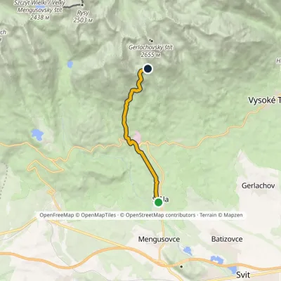 ModerateOne-dayMarkedŠtôla Batizovské TarnElevation profile852–1 901 m8.6 kmascent 1 049 m≈ 4 h walkingunder 1 km from the centre
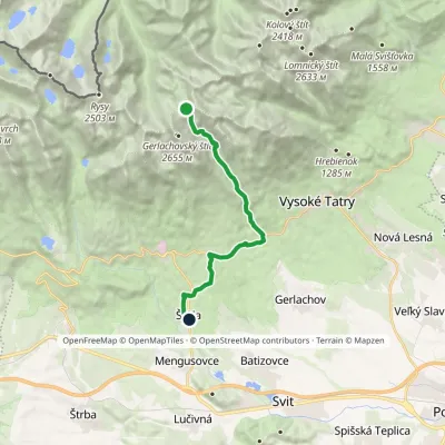 HardOne-dayMarkedNižné Hágy Junction below Poľský hrebeňElevation profile849–2 195 m14.6 kmascent 95 m≈ 4 h walking2 km from the centre
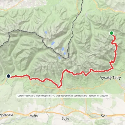 HardMulti-dayMarkedTatranská magistrála (Tatra Highway): Podbanské Veľké Biele plesoElevation profile929–2 043 m50.1 kmascent 1 639 m3 km from the centre
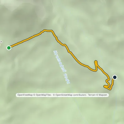 ModerateOne-dayMarkedVelický Bridge Junction under Suchý vrchElevation profile1 307–1 702 m3.7 km≈ 60 min walking3.2 km from the centre
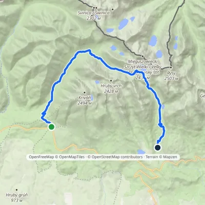 HardTwo-dayMarkedTri studničky, old forester's lodge Popradské Pleso, stopElevation profile1 105–2 142 m21.4 kmascent 1 142 m≈ 7.5 h walking3.7 km from the centre
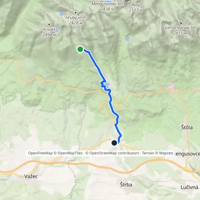 ModerateOne-dayMarkedŠkutnastá Meadow Štrba, stationElevation profile894–1 826 m9.8 kmascent 56 m≈ 2.5 h walking4.4 km from the centre
Peaks nearby
All peaks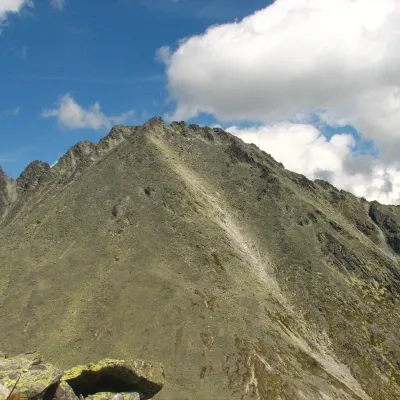 PeakKončistáVyšné Hágyaltitude 2 537 m4.4 km from the centreKončistá (Polish Kończysta, German Kontschista, Hungarian Koncsiszta) is a 2,537.5 m summit in the High Tatras in Slovakia.
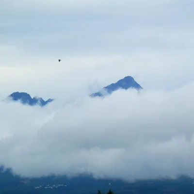 PeakGerlachovský štítVyšné Hágyaltitude 2 655 m5.1 km from the centreGerlachovský štít (colloquially Gerlach; Polish Gerlach, German Gerlsdorfer Spitze) is the highest peak of the High Tatras, of Slovakia and of the entire Carpathians.
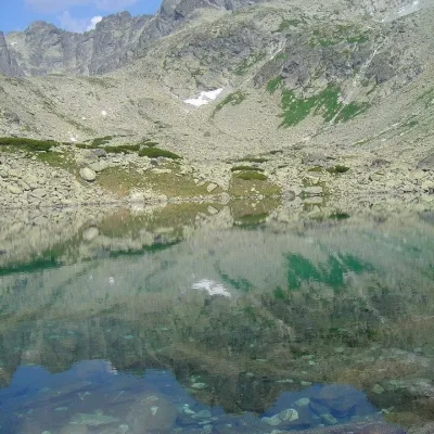 PeakBatizovský štítVyšné Hágyaltitude 2 448 m5.2 km from the centreBatizovský štít (Polish Batyżowiecki Szczyt, German Botzdorfer Spitze, Hungarian Batizfalvi-csúcs) is a massive twin-topped summit 2448 m high on the main ridge of the...
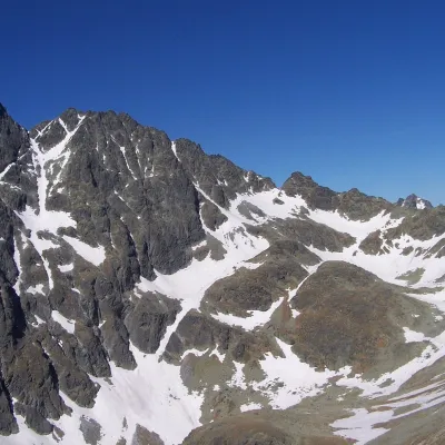 PeakZadný GerlachVyšné Hágyaltitude 2 616 m5.3 km from the centreZadný Gerlach (officially Zadný Gerlachovský štít, “Rear Gerlach”; Polish Zadni Gerlach) is a mighty 2,616 m junction summit on the main ridge of the High Tatras (2...
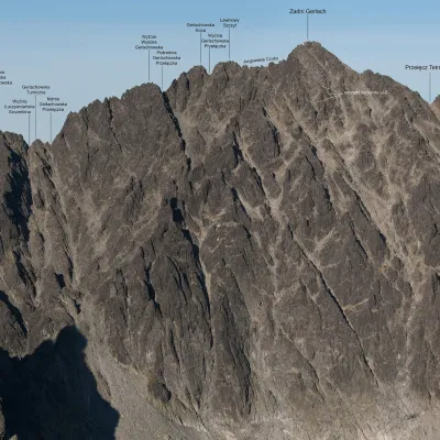 PeakLavínový štítVyšné Hágyaltitude 2 606 m5.4 km from the centreLavínový štít (Polish Lawinowy Szczyt, German Lawinenspitze) is a rocky 2606 m summit in the Slovak High Tatras and one of the highest in the whole range: the Slovak...
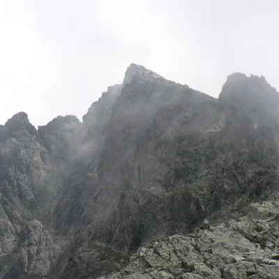 PeakVýchodná VysokáNová Poliankaaltitude 2 429 m6.5 km from the centreVýchodná Vysoká ("Eastern High One"; Polish Mała Wysoka) is a pyramid-shaped peak 2429 m high (more precisely 2428.6 m) on the main ridge of the High Tatras in Slovakia.
What to visit
All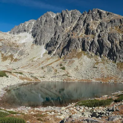 LakeBatizovské plesoVyšné Hágy3.7 km from the centreBatizovské pleso is a high-mountain lake in the Batizovská valley at 1,884 m, right below the walls of Gerlachovský štít (2,655 m) — the highest peak of the Tatras and...
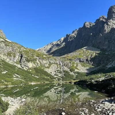 LakeVelické pleso and Sliezsky domNová Polianka4.9 km from the centreVelické pleso is the largest lake of the Velická valley in the High Tatras, at 1,663 m, at the foot of Gerlachovský štít — the highest peak of the Tatras.
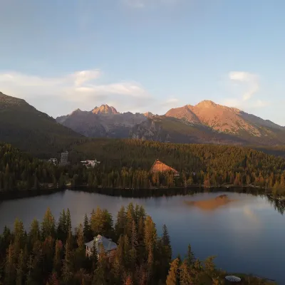 LakeŠtrbské plesoŠtrbské Pleso5 km from the centreŠtrbské pleso is the emblem of the Slovak Tatras: a large mountain lake at 1,346 m surrounded by spruce forest, hotels and High Tatra peaks.
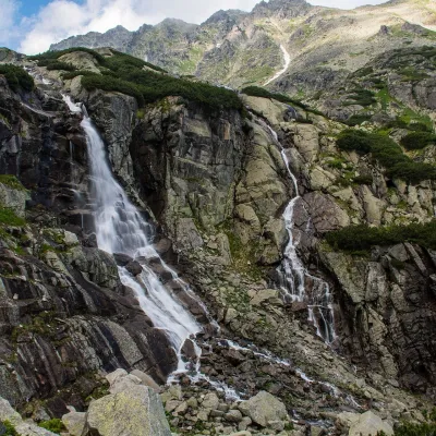 WaterfallSkok WaterfallŠtrbské Pleso7 km from the centreSkok (Vodopád Skok) is one of the most beautiful waterfalls of the Slovak Tatras. Here the Mlynica stream drops over a rock step that blocks the middle part of the...
 Water parks & thermal poolsClimatic spas of the High Tatras: Nový Smokovec, Polianka, KotlinaVysoké Tatry7 km from the centreNový Smokovec is the best known of the climatic spas of the High Tatras. It grew up in a spruce forest at about 1010 m, south-west of Starý Smokovec, with which it...
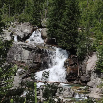 WaterfallStudený potok Waterfalls and HrebienokStarý Smokovec8.7 km from the centreThe Studený potok waterfalls (Vodopády Studeného potoka), known in Polish literature as the Zimna Woda waterfalls, are one of the oldest tourist attractions of the...
Craft nearby
All craft places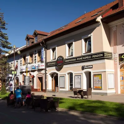 Craft beer & breweriesMinipivovar TATRAS, PopradPoprad15 km from the centreMinipivovar TATRAS is a brewpub on Poprad’s main square, Námestie sv. Egídia, housed in a building with a long brewing history.
 Water parks & thermal poolsAquaCity Poprad water parkPoprad15 km from the centreAquaCity Poprad is a large year-round water park and wellness complex in the town of Poprad, a few minutes from the centre; according to the complex, the High Tatras...
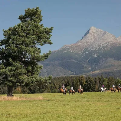 Horse ridingKone vo Východnej: horse rides below the TatrasVýchodná15 km from the centreKone vo Východnej (“Horses in Východná”) is a small family horse farm on the meadows above the village of Východná in upper Liptov, with a sweeping view of the High...
 Eco farmsFarma Východná — organic farm below the TatrasVýchodná18 km from the centreFarma Východná is the highest-lying organic farm in Liptov, at 930 m in the village of Východná right below the Tatras.
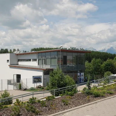 Water parks & thermal poolsThermal Park VrbovVrbov22 km from the centreThermal Park Vrbov is one of the best-known thermal baths in the Spiš region, on the southern edge of the village of Vrbov, about 6 km (as the crow flies) from...
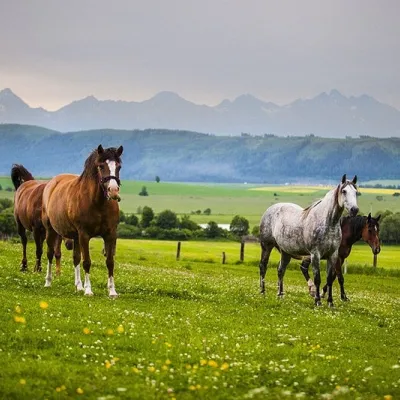 Horse ridingRanč u Trapera, Podlesok: Horse Rides in the Slovak ParadiseHrabušice25 km from the centreA little away from the main tourist bustle, below the forest, stands the family-run Ranč u Trapera, run by the Salaj family.
Spas and thermal pools nearby
Water parks & thermal poolsClimatic spas of the High Tatras: Nový Smokovec, Polianka, KotlinaVysoké Tatry7 km from the centreNový Smokovec is the best known of the climatic spas of the High Tatras. It grew up in a spruce forest at about 1010 m, south-west of Starý Smokovec, with which it...Water parks & thermal poolsAquaCity Poprad water parkPoprad15 km from the centreAquaCity Poprad is a large year-round water park and wellness complex in the town of Poprad, a few minutes from the centre; according to the complex, the High Tatras...Water parks & thermal poolsThermal Park VrbovVrbov22 km from the centreThermal Park Vrbov is one of the best-known thermal baths in the Spiš region, on the southern edge of the village of Vrbov, about 6 km (as the crow flies) from...Huts, shelters and springs nearby
 1 494 mMountain shelterPopradské Pleso Mountain HotelHigh Tatras · SlovakiaStandingOn a trailSleeps up to 165Meals served
 1 500 mMountain shelterMajláth HutHigh Tatras · SlovakiaStandingOn a trailSleeps up to 15Meals served

 2 250 mMountain shelterHut under RysyHigh Tatras · SlovakiaStandingOn a trailMeals servedSummer only

Getting there from Ukraine
Border crossings
- Uzhhorod – Vyšné Nemecké — road, 24/7
- Malyi Bereznyi – Ubľa — road, 24/7 For cars and buses; pedestrians not confirmed by the Ukrainian border service, lorries up to 3.5 t.
- Mali Selmentsi – Veľké Slemence (pedestrian) — pedestrian, 09:00–21:00 Kyiv time Pedestrians and cyclists only; inconvenient for the Tatras without onward transport.
- Chop – Čierna nad Tisou (rail) — rail, 24/7
By car
Uzhhorod – Poprad ≈195 km, ≈2 h 55 min without queues: Uzhhorod – Vyšné Nemecké checkpoint → I/19 via Sobrance and Michalovce → Košice → D1 motorway via Prešov → Poprad (Liptovský Mikuláš is ≈56 km further on the D1, total ≈249 km). Košice – Poprad ≈112 km. The D1 requires an e-vignette (eznamka.sk). Note: from Lviv the fastest way to Poprad is through Poland — Krakovets – A4 – Kraków – Zakopane – Łysa Polana ≈468 km (≈5 h 50 min); via Uzhok and Malyi Bereznyi ≈419 km but slower (≈6 h 40 min). Zakopane – Poprad ≈69 km, Zakopane – Liptovský Mikuláš ≈80 km.
Checked 23.10.2026; border crossing hours and timetables change — check before you travel.
