Zadný Gerlach
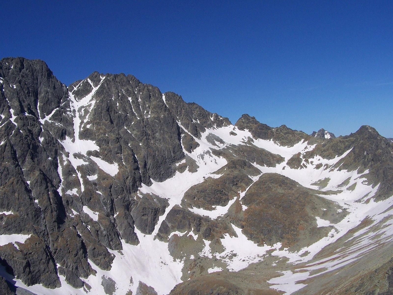
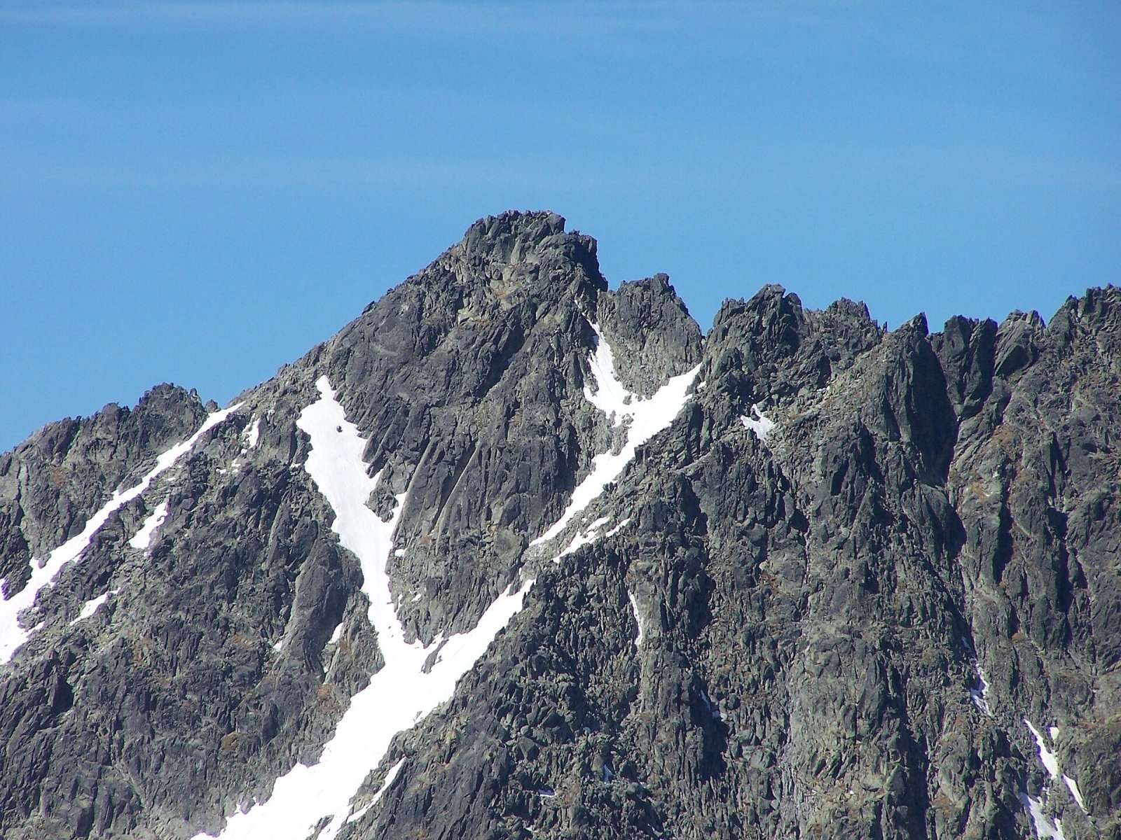
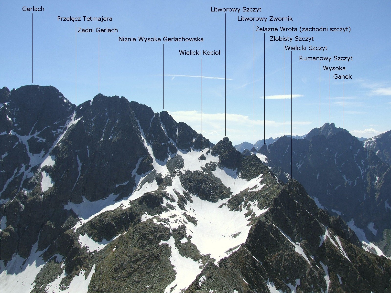
Zadný Gerlach (officially Zadný Gerlachovský štít, “Rear Gerlach”; Polish Zadni Gerlach) is a mighty 2,616 m junction summit on the main ridge of the High Tatras (2,617 m according to 2018 laser scanning). It is the northernmost part of the massif of Gerlachovský štít — the highest mountain of the whole Carpathians — from which it is separated by the deeply cut Gerlachovské (Tetmajer) saddle. German sources rank it as the sixth highest peak of Slovakia and the Carpathians. For a long time it was considered the highest summit of the Tatra main ridge, but newer measurements place it after Ľadový štít. The peak lies in the Tatra National Park (TANAP) above the Velická, Batizovská and Kačacia valleys; the nearest settlements are Štrbské Pleso, Smokovec and Štôla.
How to get there / routes
No marked hiking trail leads to the summit — an ascent is possible only with a licensed mountain guide or for members of mountaineering associations. The easiest line starts at the Sliezsky dom mountain hotel in the Velická valley. Zadný Gerlach is often climbed together with Gerlachovský štít, though it is worth a trip of its own: according to a Hungarian description, its view is even finer than from the main summit, because it rises right above the junction of three valleys. Classic lines: via the Gerlachovské saddle (UIAA II, 1895), the “Martinovka” along the ridge from Poľský hrebeň (II, 1905), and from the Batizovské saddle bypassing the towers (II–III, 1911).
What you can see from the summit
The summit stands where the Velická, Batizovská and Kačacia valleys meet, so the view takes in the High Tatra main ridge from Gerlach to Ľadový štít, the deep Biela voda valleys to the north and the Sub-Tatra basin to the south.
Nature and history
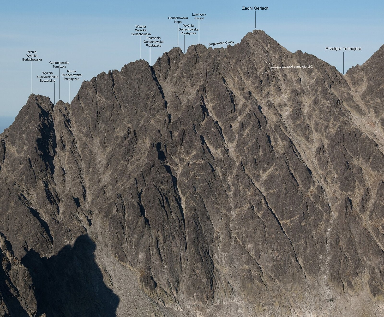
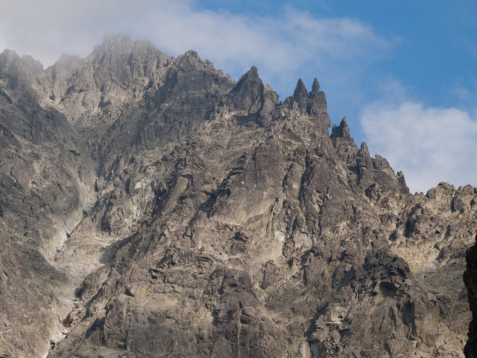
The massif has three tops: the highest southern one, the middle Lavínový štít and the northern Gerlachovská kopa (Lavínová veža). To the west the ridge drops to the Eastern Batizovské saddle, beyond which stand several towers, the finest being the twin-topped Biskupská čiapka (“Bishop’s Mitre”). The northern ridge, with many teeth and notches, runs to Litvorové sedlo, while a massive ridge carrying Gerlach branches south-east from the main summit.
For a long time the mountain had no name — maps labelled it “Unbenannt” or “Névtelen” (“Nameless”). After the death of the geologist Samuel Roth in 1889, the Hungarian Carpathian Society, of which he had been vice-chairman, proposed naming it after him; after the First World War the Club of Czechoslovak Tourists suggested Slovenský štít (“Slovak Peak”), but the name Zadný Gerlach prevailed — after the village of Gerlachov, which once owned the massif. According to Polish sources, until the late 18th century, when the border still ran along the main ridge, Zadný Gerlach was the highest peak of Poland.
In October 1944 a Lisunov Li-2 military aircraft carrying soldiers of the 2nd Czechoslovak Parachute Brigade, flying to support the Slovak National Uprising, crashed below the Gerlachovské saddle on the Batizovská side; its wreckage still lies there.
Safety, season and rules
TANAP high-mountain trails are closed from 1 November to 31 May, and off-trail terrain may be entered only with a mountain guide or as a member of a mountaineering club. Rocky terrain, snow in the gullies until summer and sudden storms demand experience and equipment. Slovak Mountain Rescue (HZS): 18 300 (+421 18 300); emergency number 112. Park rules: tanap.sk.
Interesting facts
- The first precisely dated ascent was made by Janusz Chmielowski and guide Jędrzej Wala Jr on 24 August 1895; the first winter ascent by Gyula Hefty and Gyula Komarnicki on 9 February 1913.
- The summit’s isolation is only about 290 m — that is how close its higher neighbour, Gerlach, stands.
Photos: Adam Opioła, CC BY-SA 4.0; Adam Opioła, CC BY-SA 4.0; Rafał Kozubek, CC BY-SA 4.0; Rafał Kozubek, CC BY-SA 4.0; Jerzy Opioła, CC BY-SA 4.0; Krzysztof Dudzik-Górnicki (User:ToSter), CC BY-SA 3.0 — Wikimedia Commons.
Getting there from Ukraine
Border crossings
- Uzhhorod – Vyšné Nemecké — road, 24/7
- Malyi Bereznyi – Ubľa — road, 24/7 For cars and buses; pedestrians not confirmed by the Ukrainian border service, lorries up to 3.5 t.
- Mali Selmentsi – Veľké Slemence (pedestrian) — pedestrian, 09:00–21:00 Kyiv time Pedestrians and cyclists only; inconvenient for the Tatras without onward transport.
- Chop – Čierna nad Tisou (rail) — rail, 24/7
By car
Uzhhorod – Poprad ≈195 km, ≈2 h 55 min without queues: Uzhhorod – Vyšné Nemecké checkpoint → I/19 via Sobrance and Michalovce → Košice → D1 motorway via Prešov → Poprad (Liptovský Mikuláš is ≈56 km further on the D1, total ≈249 km). Košice – Poprad ≈112 km. The D1 requires an e-vignette (eznamka.sk). Note: from Lviv the fastest way to Poprad is through Poland — Krakovets – A4 – Kraków – Zakopane – Łysa Polana ≈468 km (≈5 h 50 min); via Uzhok and Malyi Bereznyi ≈419 km but slower (≈6 h 40 min). Zakopane – Poprad ≈69 km, Zakopane – Liptovský Mikuláš ≈80 km.
Checked 23.10.2026; border crossing hours and timetables change — check before you travel.
Location on the map
Water and shelter nearby
- Batizovský potok Spring950 m · Not verified · 2 016 m
- Spring below Zlomisková veža (south-east slope), 1 861 m2.3 km · Not verified · 1 861 m
- Rumanov potok Spring2.4 km · Not verified · 1 934 m
- Spring below Zlomisková veža (south-east slope), 1 836 m2.4 km · Not verified · 1 836 m
- Spring below Zlomisková veža (south-east slope), 1 835 m2.4 km · Not verified · 1 835 m
- Spring below Suchý vrch (south-west slope), 1 664 m2.7 km · Not verified · 1 664 m
- Spring below Suchý vrch (south-west slope), 1 639 m2.8 km · Not verified · 1 639 m
- Zbojnícka Hut2.9 km · Standing · 1 960 m
Comments
Trails nearby
All trails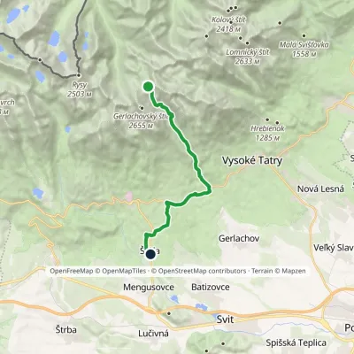 HardOne-dayMarkedNižné Hágy Junction below Poľský hrebeňElevation profile849–2 195 m14.6 kmascent 95 m≈ 4 h walkingunder 1 km from Zadný Gerlach
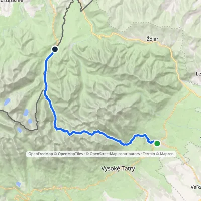 HardMulti-dayMarkedTatranská Lomnica Lysá PoľanaElevation profile853–2 268 m27.3 kmascent 1 415 m≈ 9.5 h walking1.1 km from Zadný Gerlach
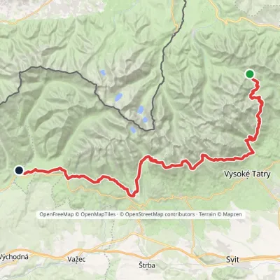 HardMulti-dayMarkedTatranská magistrála (Tatra Highway): Podbanské Veľké Biele plesoElevation profile929–2 043 m50.1 kmascent 1 639 m1.6 km from Zadný Gerlach
Nearby attractions
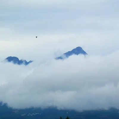 PeakGerlachovský štítVyšné Hágyaltitude 2 655 munder 1 km from Zadný GerlachGerlachovský štít (colloquially Gerlach; Polish Gerlach, German Gerlsdorfer Spitze) is the highest peak of the High Tatras, of Slovakia and of the entire Carpathians.
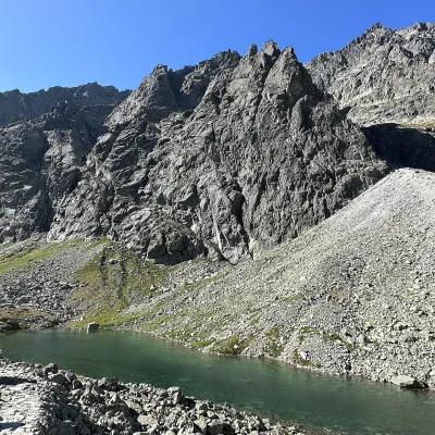 LakeDlhé pleso (Velická dolina)Nová Poliankaunder 1 km from Zadný GerlachDlhé pleso (the Long Tarn) in Velická dolina is a small elongated lake in the High Tatras, within Tatra National Park (TANAP).
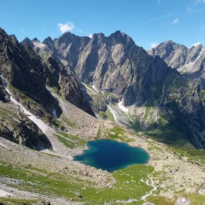 LakeLitvorové plesoVyšné Hágy1.2 km from Zadný GerlachLitvorové pleso (Polish: Litworowy Staw) is a glacial cirque lake in the upper part of Litvorová dolina, a side branch of Bielovodská dolina on the northern side of...
Craft nearby
All craft places Water parks & thermal poolsClimatic spas of the High Tatras: Nový Smokovec, Polianka, KotlinaVysoké Tatry7 km from Zadný GerlachNový Smokovec is the best known of the climatic spas of the High Tatras. It grew up in a spruce forest at about 1010 m, south-west of Starý Smokovec, with which it...
 Cheese dairies & pasturesShepherd's Hut on Rusinowa PolanaBrzegi11 km from Zadný GerlachRusinowa Polana is one of the most beautiful mountain glades in the Polish Tatras, and from May to October it is home to the bacówka (shepherd's hut) of baca Stanisław...
 Cheese dairies & pasturesFurtek's Shepherd's Huts, Kuźnice and KalatówkiZakopane16 km from Zadný GerlachAbove Kuźnice — the southern edge of Zakopane where most hikes into the Western and High Tatras begin — the flocks are tended by baca Andrzej Staszel, nicknamed "Furtek".
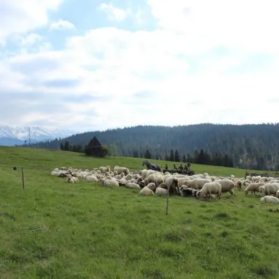 Cheese dairies & pasturesU Jancoka Shepherd's Hut, Brzegi: oscypek from Poland's first female bacaBrzegi17 km from Zadný GerlachThe U Jancoka shepherd's hut (bacówka) stands beside regional road 960, which runs from Bukowina Tatrzańska to the Łysa Polana border crossing, in the village of Brzegi.
 Water parks & thermal poolsAquaCity Poprad water parkPoprad17 km from Zadný GerlachAquaCity Poprad is a large year-round water park and wellness complex in the town of Poprad, a few minutes from the centre; according to the complex, the High Tatras...
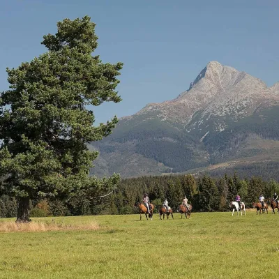 Horse ridingKone vo Východnej: horse rides below the TatrasVýchodná17 km from Zadný GerlachKone vo Východnej (“Horses in Východná”) is a small family horse farm on the meadows above the village of Východná in upper Liptov, with a sweeping view of the High...
