Dlhé pleso (Velická dolina)
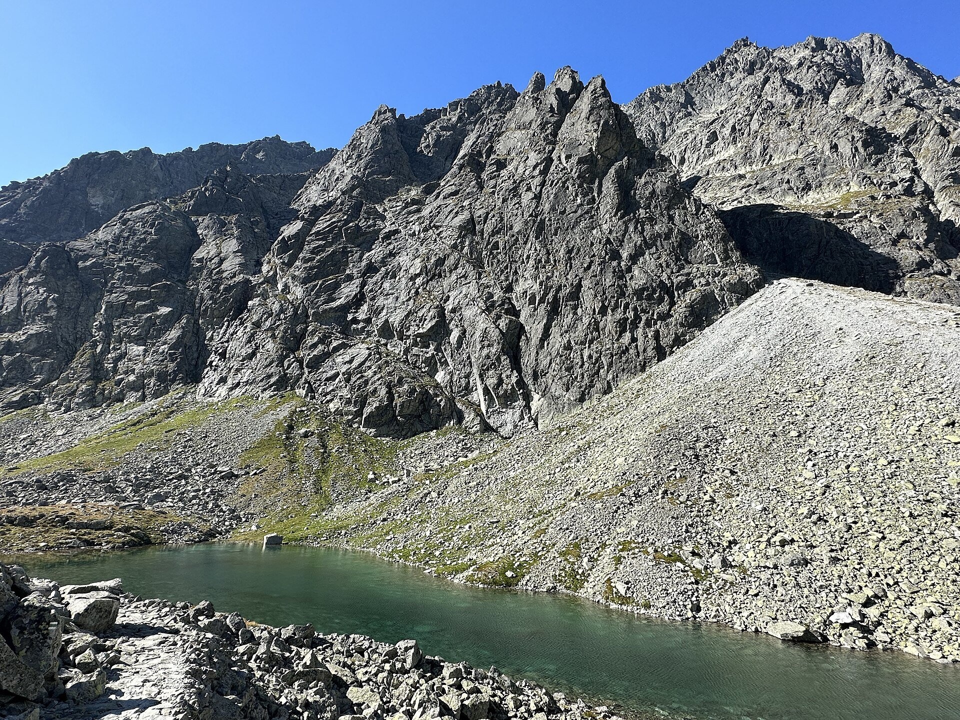
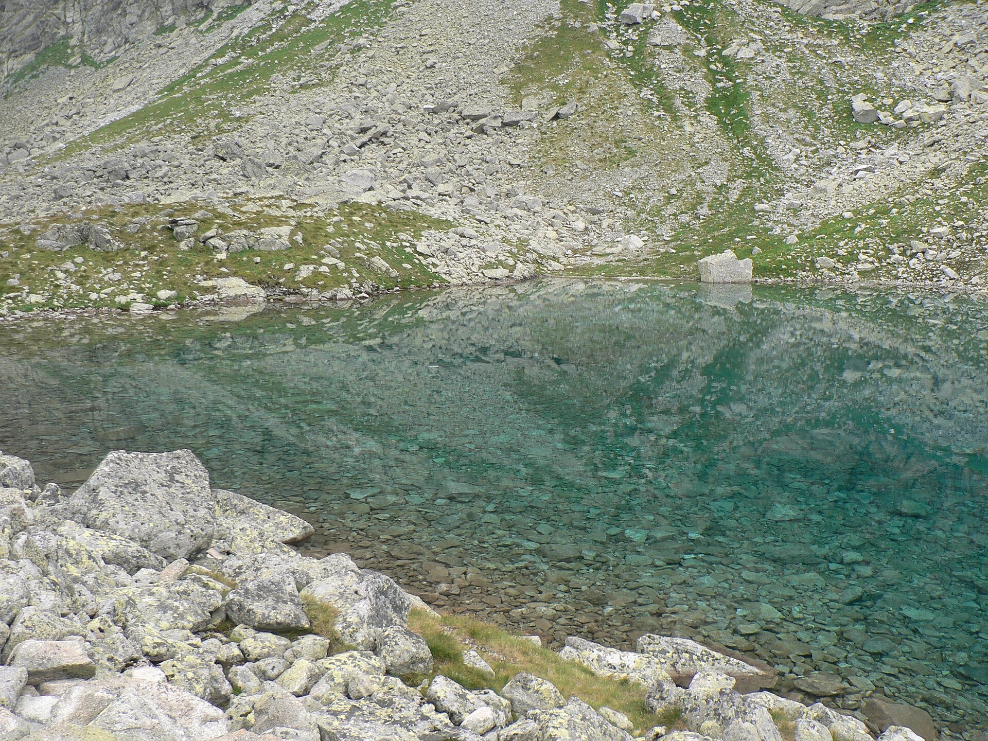
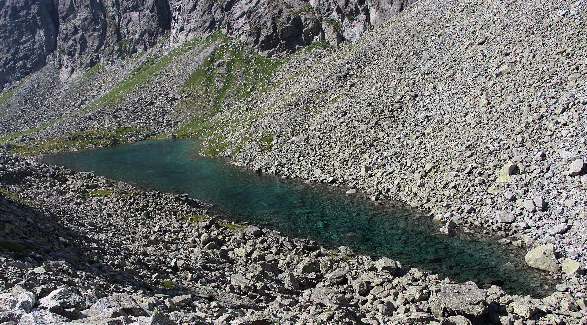
Dlhé pleso (the Long Tarn) in Velická dolina is a small elongated lake in the High Tatras, within Tatra National Park (TANAP). It lies in a stony basin between the massif of Gerlachovský štít — the highest peak of the Tatras — and Guľatý kopec, at about 1,930–1,945 m. The name reflects its shape: according to measurements by TANAP staff in the 1960s, the tarn measures 185 by 61 m, covers 0.63 ha and is about 5 m deep. It is also called Dlhé pleso pod Gerlachom.
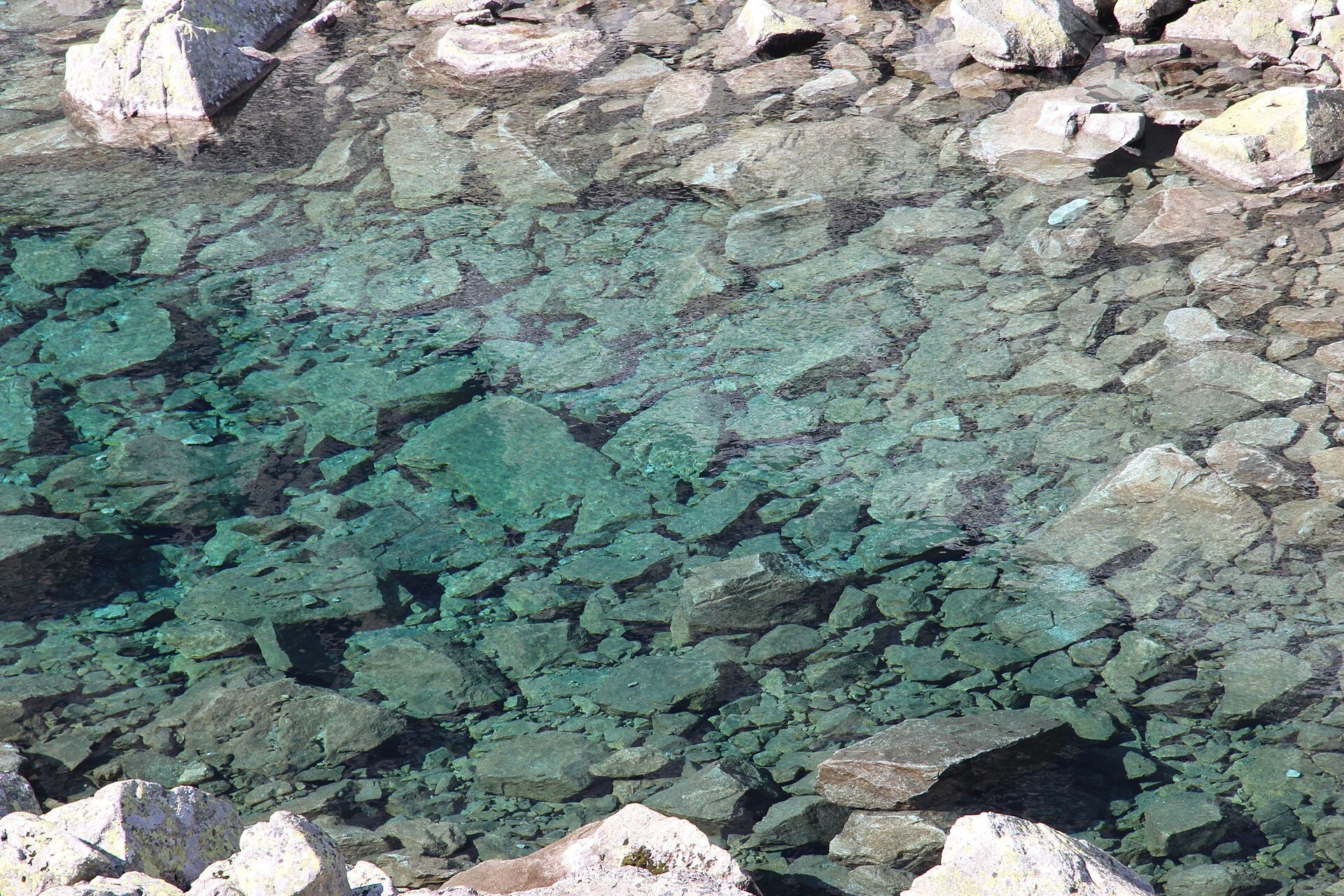
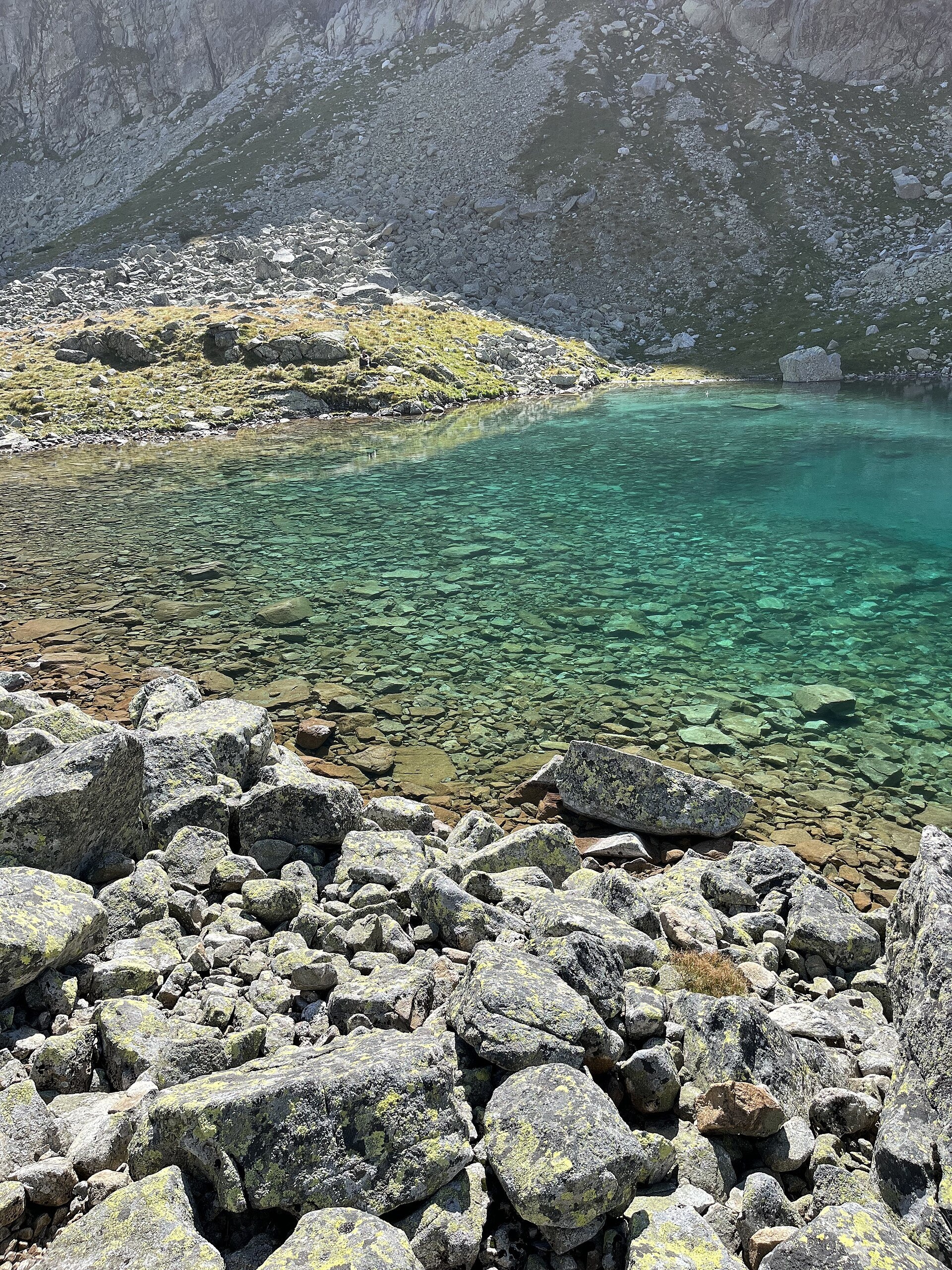
The water is very clear: the bottom can be seen even in the deepest places, and the submerged boulders have a greenish-turquoise tint. The tarn is gradually shrinking as scree slides into it from the Krčmárov and Darmstädter gullies on the slopes of Gerlach. Dlhé pleso is the permanent source of the Velický potok: below, the stream flows across the flowery alpine meadow terrace of Kvetnica, forms the Velický waterfall at the Večný dážď step and enters Velické pleso.
Kvetnica is one of the richest places for plants in the High Tatras. In the late 19th century the Hungarian Carpathian Society leased it to protect it from grazing. Walery Eljasz, who walked up this valley over Poľský hrebeň in 1872, noted that Dlhé pleso was about 300 paces long and that its water ran through an alpine meadow called the Garden of the Swedish botanist Wahlenberg.
What to see and do
- Clear water and a stony bottom — the path runs right along the shore, so you can look at the tarn up close.
- The walls of Gerlach — the cliffs of the highest massif in the Tatras tower above the water.
- Kvetnica — in summer the meadow step below the tarn is covered with flowers; keep to the path.
How to get there
Dlhé pleso lies on the green route over Poľský hrebeň (Nižné Hágy – Junction below Poľský hrebeň). From Tatranská Polianka, a stop of the Tatra Electric Railway, the green trail leads to Velické pleso and Sliezsky dom — 1 h 45 min (1 h 15 min down). From Velické pleso via Kvetnica to Dlhé pleso takes 1 h (45 min down), and from Dlhé pleso to the Poľský hrebeň saddle (about 2,200 m) another 45 min (30 min down). You can also reach Velické pleso along the Tatranská magistrála from Hrebienok (2 h 05 min). From Tatranská Polianka to Dlhé pleso it is about 3 hours up and over 900 m of ascent: a proper high-mountain hike. Above Velické pleso the path becomes steeper and stonier.
Season and safety
The green trail from Velické pleso over Poľský hrebeň is closed from 1 November to 31 May (§ 4 of the TANAP Visitor Regulations, decree 26/2023), so you can visit Dlhé pleso from 1 June to 31 October; Velické pleso remains accessible during the closure. Entry to TANAP is free. You may walk only on marked trails and only in daylight; dogs are not allowed on the green trail from Tatranská Polianka to Poľský hrebeň, and drones are banned without a permit. Scree and stones come down the Gerlach gullies here, so do not linger below the slopes. Mountain Rescue Service HZS: 18 300, general emergency number 112.
Nearby
- Velické pleso and Sliezsky dom — an hour below.
- Gerlachovský štít — the highest peak of the Tatras above the tarn.
- Východná Vysoká — the summit above Poľský hrebeň.
- Batizovské pleso — west of Velické pleso along the magistrála.
Official website: tanap.sk
Photos: Punteador, CC BY-SA 4.0, Wikimedia Commons; Michal Klajban, CC BY-SA 4.0, Wikimedia Commons; Krzysztof Dudzik-Górnicki (User:ToSter), CC BY-SA 3.0, Wikimedia Commons; Photochrom Print Collection, Public domain, Wikimedia Commons.
Getting there from Ukraine
Border crossings
- Uzhhorod – Vyšné Nemecké — road, 24/7
- Malyi Bereznyi – Ubľa — road, 24/7 For cars and buses; pedestrians not confirmed by the Ukrainian border service, lorries up to 3.5 t.
- Mali Selmentsi – Veľké Slemence (pedestrian) — pedestrian, 09:00–21:00 Kyiv time Pedestrians and cyclists only; inconvenient for the Tatras without onward transport.
- Chop – Čierna nad Tisou (rail) — rail, 24/7
By car
Uzhhorod – Poprad ≈195 km, ≈2 h 55 min without queues: Uzhhorod – Vyšné Nemecké checkpoint → I/19 via Sobrance and Michalovce → Košice → D1 motorway via Prešov → Poprad (Liptovský Mikuláš is ≈56 km further on the D1, total ≈249 km). Košice – Poprad ≈112 km. The D1 requires an e-vignette (eznamka.sk). Note: from Lviv the fastest way to Poprad is through Poland — Krakovets – A4 – Kraków – Zakopane – Łysa Polana ≈468 km (≈5 h 50 min); via Uzhok and Malyi Bereznyi ≈419 km but slower (≈6 h 40 min). Zakopane – Poprad ≈69 km, Zakopane – Liptovský Mikuláš ≈80 km.
Checked 23.10.2026; border crossing hours and timetables change — check before you travel.
Location on the map
Comments
Trails nearby
All trails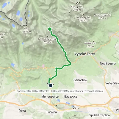 HardOne-dayMarkedNižné Hágy Junction below Poľský hrebeňElevation profile849–2 195 m14.6 kmascent 95 m≈ 4 h walkingunder 1 km from Dlhé pleso (Velická dolina)
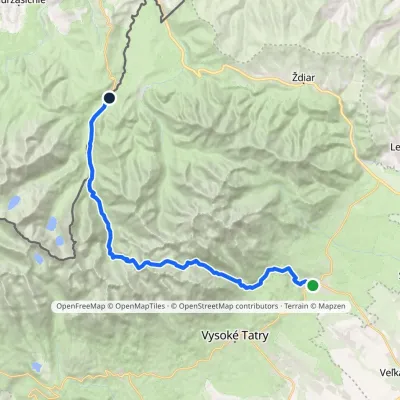 HardMulti-dayMarkedTatranská Lomnica Lysá PoľanaElevation profile853–2 268 m27.3 kmascent 1 415 m≈ 9.5 h walkingunder 1 km from Dlhé pleso (Velická dolina)
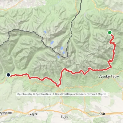 HardMulti-dayMarkedTatranská magistrála (Tatra Highway): Podbanské Veľké Biele plesoElevation profile929–2 043 m50.1 kmascent 1 639 m1.3 km from Dlhé pleso (Velická dolina)
Nearby attractions
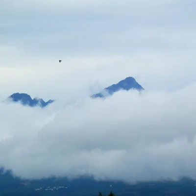 PeakGerlachovský štítaltitude 2 655 munder 1 km from Dlhé pleso (Velická dolina)Gerlachovský štít (colloquially Gerlach; Polish Gerlach, German Gerlsdorfer Spitze) is the highest peak of the High Tatras, of Slovakia and of the entire Carpathians.
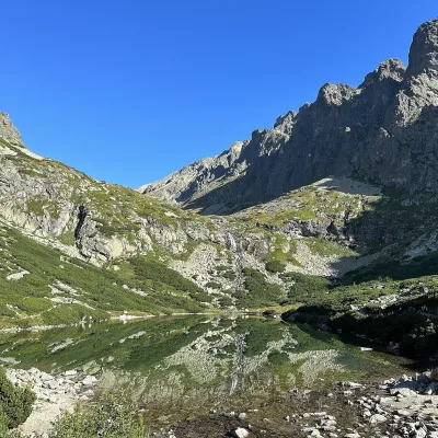 LakeVelické pleso and Sliezsky dom1.3 km from Dlhé pleso (Velická dolina)Velické pleso is the largest lake of the Velická valley in the High Tatras, at 1,663 m, at the foot of Gerlachovský štít — the highest peak of the Tatras.
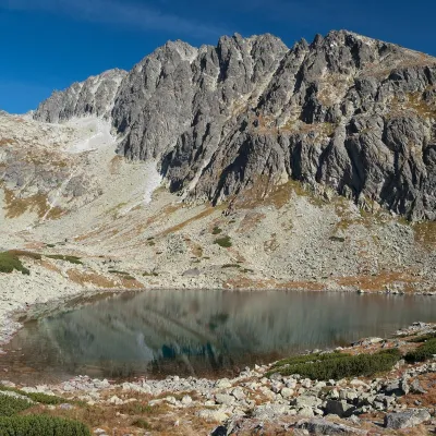 LakeBatizovské pleso1.9 km from Dlhé pleso (Velická dolina)Batizovské pleso is a high-mountain lake in the Batizovská valley at 1,884 m, right below the walls of Gerlachovský štít (2,655 m) — the highest peak of the Tatras and...
Craft nearby
All craft places Cheese dairies & pasturesShepherd's Hut on Rusinowa Polana11 km from Dlhé pleso (Velická dolina)Rusinowa Polana is one of the most beautiful mountain glades in the Polish Tatras, and from May to October it is home to the bacówka (shepherd's hut) of baca Stanisław...
 Water parks & thermal poolsAquaCity Poprad water park17 km from Dlhé pleso (Velická dolina)AquaCity Poprad is a large year-round water park and wellness complex in the town of Poprad, a few minutes from the centre; according to the complex, the High Tatras...
 Cheese dairies & pasturesFurtek's Shepherd's Huts, Kuźnice and Kalatówki17 km from Dlhé pleso (Velická dolina)Above Kuźnice — the southern edge of Zakopane where most hikes into the Western and High Tatras begin — the flocks are tended by baca Andrzej Staszel, nicknamed "Furtek".
 Craft beer & breweriesMinipivovar TATRAS, Poprad17 km from Dlhé pleso (Velická dolina)Minipivovar TATRAS is a brewpub on Poprad’s main square, Námestie sv. Egídia, housed in a building with a long brewing history.
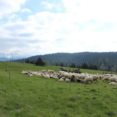 Cheese dairies & pasturesU Jancoka Shepherd's Hut, Brzegi: oscypek from Poland's first female baca17 km from Dlhé pleso (Velická dolina)The U Jancoka shepherd's hut (bacówka) stands beside regional road 960, which runs from Bukowina Tatrzańska to the Łysa Polana border crossing, in the village of Brzegi.
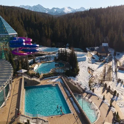 Water parks & thermal poolsTermy Bukovina18 km from Dlhé pleso (Velická dolina)Termy Bukovina is a modern thermal pool complex in Bukowina Tatrzańska, a village lying about a thousand metres above sea level on the edge of the Tatra National Park.
