Litvorové pleso
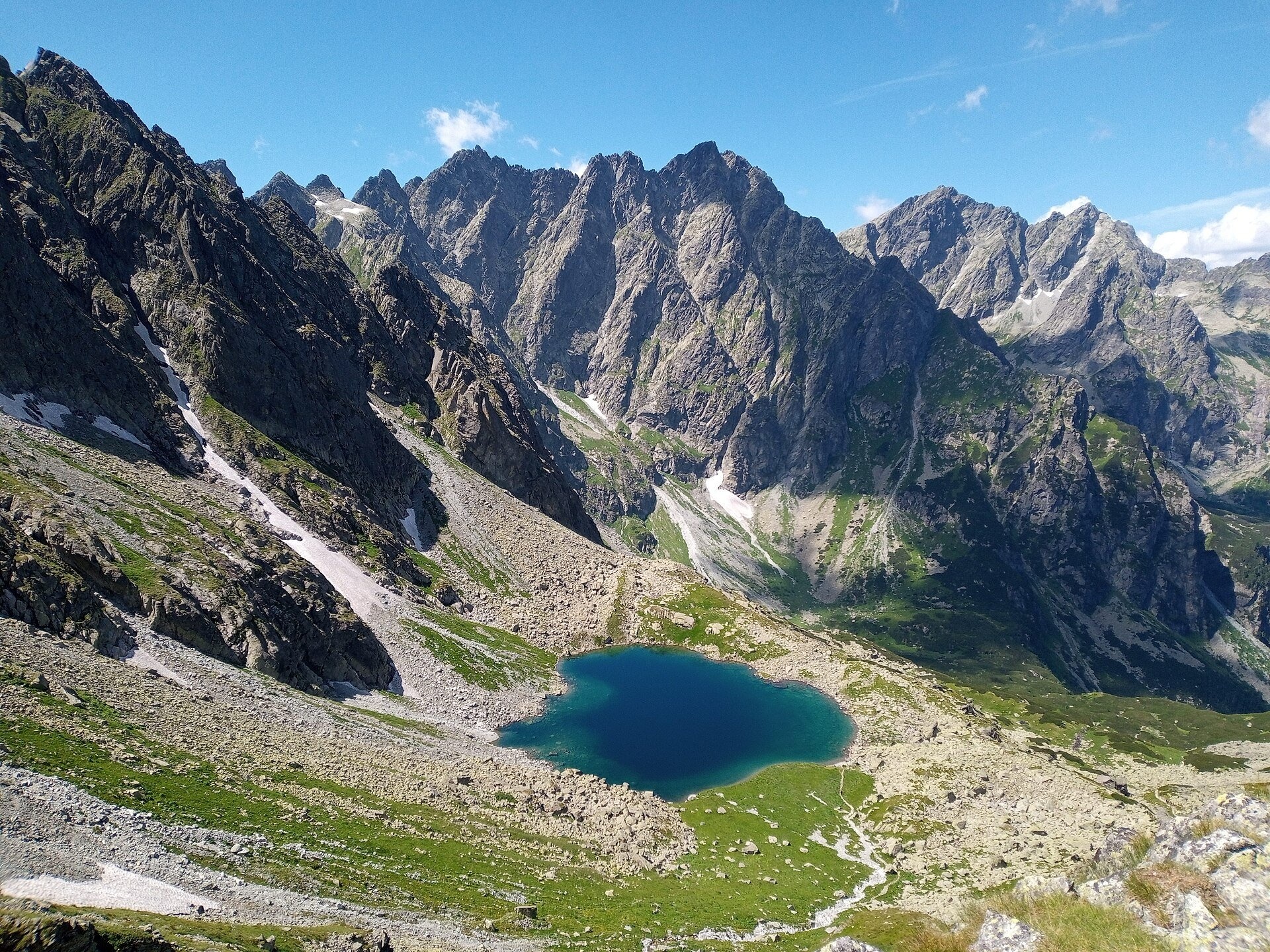
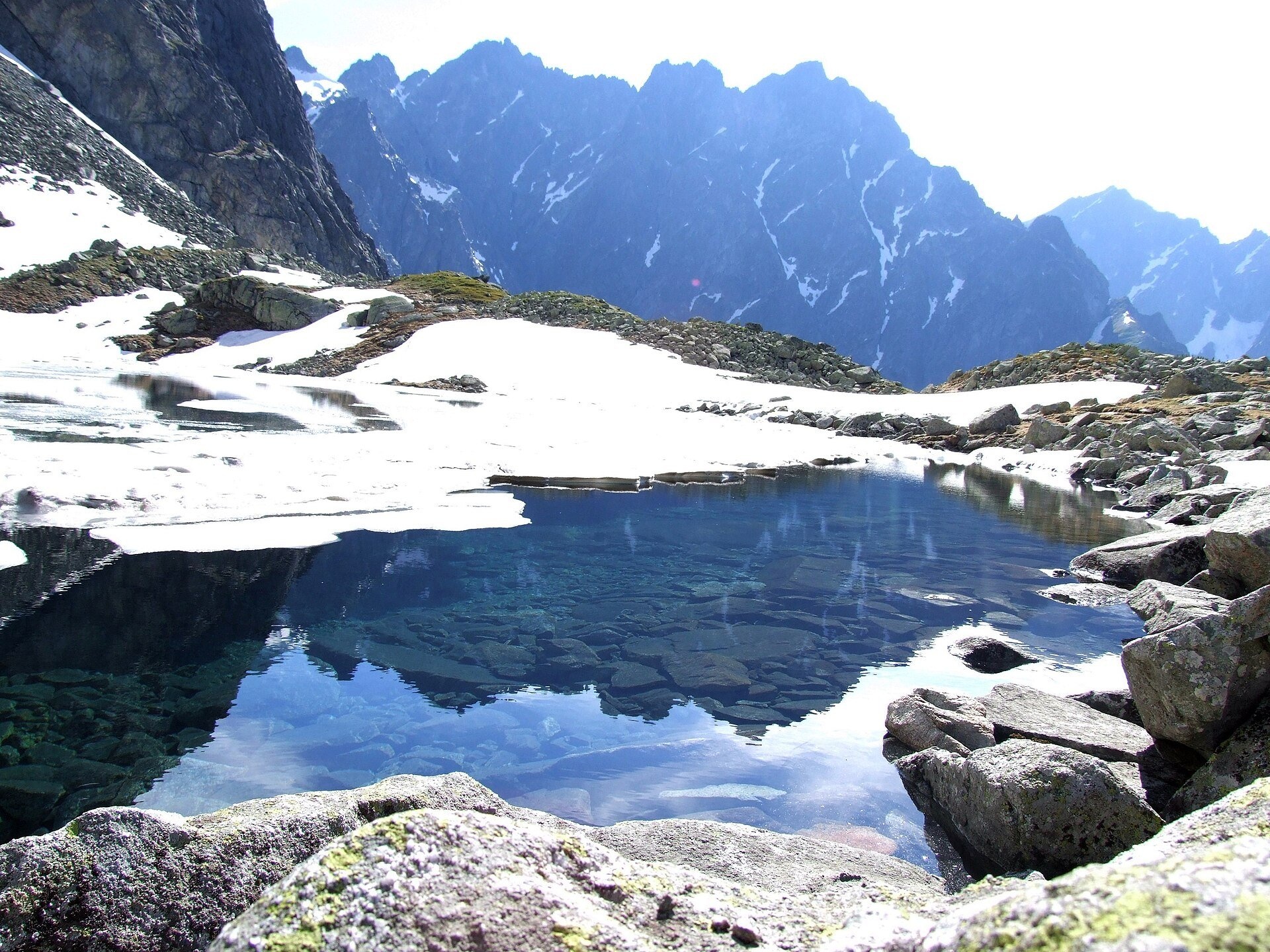
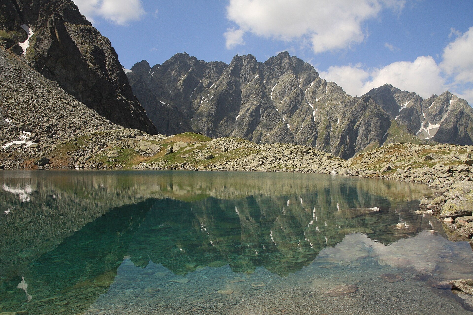
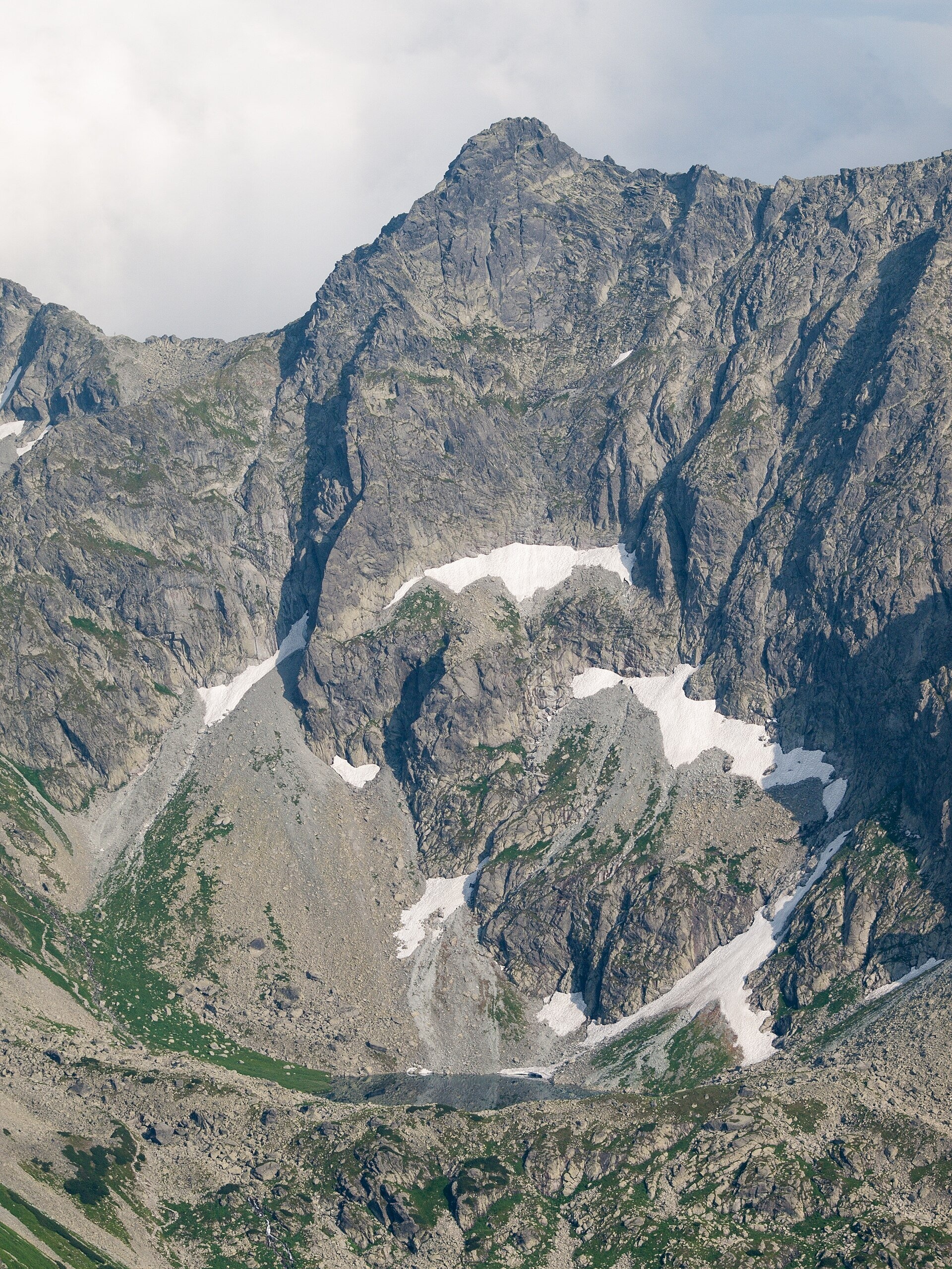
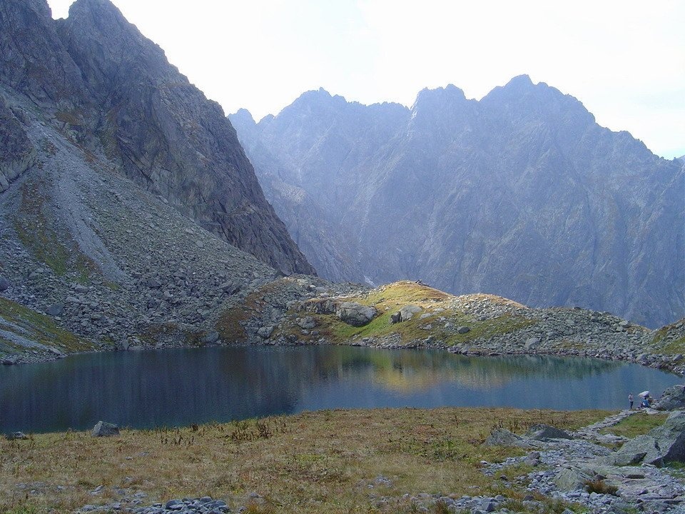
Litvorové pleso (Polish: Litworowy Staw) is a glacial cirque lake in the upper part of Litvorová dolina, a side branch of Bielovodská dolina on the northern side of the High Tatras, in the Tatra National Park (TANAP). It lies at 1,863 m at the foot of the north-west face of Velický štít. According to TANAP surveys from the 1960s, the tarn covers 1.67 ha, measures 181 by 162 m, is about 19.1 m deep and holds 127,000 m³ of water. On the north-west it is closed by a rock bar and a regular, semicircular terminal moraine. It is fed by an intermittent stream from the higher Zamrznuté pleso, and Litvorový potok flows out of its northern end.
The name comes from "litvor", the local dialect word for garden angelica (Archangelica officinalis). The plant once grew here in abundance, but it was dug up by root collectors who believed in its miraculous powers, and by shepherds who drove their sheep up here. For centuries the pastures of Bielovodská dolina were used by highlanders from Jurgów, Rzepiska, Czarna Góra, Lendak and Łapsze; in 1879 Prince Christian Hohenlohe bought the whole valley as a hunting ground, and grazing gradually died out before the Second World War. According to the "Przegląd Zakopiański" of 1899, two robbers killed by shepherds are buried near the tarn.
What to see and do
- Flowers among the boulders – despite the altitude, the shores are very rich in plants. As early as 1872 the painter Walery Eljasz marvelled at how such fragrant, colourful flowers could bloom next to snow and bare rock.
- The panorama – from the shore you see the massif of Rumanov štít, Ganek, Rysy and Nižné Rysy; the Polish guidebook author Józef Nyka called the view "overwhelming".
- The stone shelter – a few metres from the shore, by the trail, there is a solid stone koliba where 3–4 people can shelter in bad weather.
- Hviezdoslavov vodopád (Polish: Kacza Siklawa) – lower down the route, on the threshold of Kačacia dolina. It is formed by the stream from Zelené Kačacie pleso; Slovak sources give a height of about 20 m, while Polish researchers have estimated the whole cascade at anything from 15 to 65 m. The fall lies at 1,575 m and is named after the poet Pavol Országh Hviezdoslav. There is no path to it, but it is clearly visible from the marked trail.
- Ťažký vodopád – it drops from the steep threshold of the inaccessible Ťažká dolina. The Slovak waterfall register gives about 10 m for the main step, while Polish sources describe the whole cascade as the highest in the Tatras (about 100 m). There is no trail; part of the fall can be seen from a distance of roughly 550 m from the blue trail. In winter it turns into an icefall.
Getting there
The tarn lies on the blue route Tatranská Lomnica – Lysá Poľana. From Lysá Poľana (970 m, a border crossing with Poland) the path follows the floor of Bielovodská dolina, crosses the threshold of Kačacia dolina and climbs Litvorová dolina to the tarn – 3 h 45 min up (2 h 50 min down). Cycling is allowed as far as the Biela voda clearing. Beyond the tarn the route passes Zamrznuté pleso to the Prielom saddle – another 1 h 15 min – and descends to Zbojnícka chata (55 min). The other approach is the green trail Nižné Hágy – Junction below Poľský hrebeň: from Tatranská Polianka to Velické pleso 1 h 45 min, then 2 h to the Poľský hrebeň saddle, 15 min to the blue trail by Zamrznuté pleso and down to Litvorové pleso. This is a long high-mountain hike with no hut or buffet in the valley – not for children or beginners.
Season and safety
The blue trail from the forester's lodge in Bielovodská dolina to the Prielom saddle and the green trail over Poľský hrebeň are closed from 1 November to 31 May (§ 4 and Annex 3 of the TANAP Visitor Rules, Decree 26/2023), so the tarn can only be visited from 1 June to 31 October. Dogs are not allowed on the blue trail through Bielovodská dolina (Annex 5). Entry to TANAP is free; walking is permitted only on marked trails and only in daylight, and going off the trail to the waterfalls is forbidden. The TANAP administration stresses that drones do not belong in the park. Bears live in the side valleys, and snowfields below Prielom linger into summer. Mountain Rescue Service HZS: 18 300, general emergency number: 112.
Nearby
- Dlhé pleso (Velická dolina) – on the other side of Poľský hrebeň.
- Zbojnícke plesá – beyond the Prielom saddle.
- Východná Vysoká and Gerlachovský štít – summits above the valley.
- Rysy – visible from the shore of the tarn.
Official website: tanap.sk
Photos: Qwerty Qwertik, CC0, Wikimedia Commons; Jerzy Opioła, CC BY-SA 4.0, Wikimedia Commons; Tomekh10, CC BY-SA 4.0, Wikimedia Commons; Rafał Kozubek, CC BY-SA 4.0, Wikimedia Commons; Kristo, CC BY-SA 3.0, Wikimedia Commons; 67marekk, Public domain, Wikimedia Commons; Rafik k, CC BY-SA 4.0, Wikimedia Commons.
Getting there from Ukraine
Border crossings
- Uzhhorod – Vyšné Nemecké — road, 24/7
- Malyi Bereznyi – Ubľa — road, 24/7 For cars and buses; pedestrians not confirmed by the Ukrainian border service, lorries up to 3.5 t.
- Mali Selmentsi – Veľké Slemence (pedestrian) — pedestrian, 09:00–21:00 Kyiv time Pedestrians and cyclists only; inconvenient for the Tatras without onward transport.
- Chop – Čierna nad Tisou (rail) — rail, 24/7
By car
Uzhhorod – Poprad ≈195 km, ≈2 h 55 min without queues: Uzhhorod – Vyšné Nemecké checkpoint → I/19 via Sobrance and Michalovce → Košice → D1 motorway via Prešov → Poprad (Liptovský Mikuláš is ≈56 km further on the D1, total ≈249 km). Košice – Poprad ≈112 km. The D1 requires an e-vignette (eznamka.sk). Note: from Lviv the fastest way to Poprad is through Poland — Krakovets – A4 – Kraków – Zakopane – Łysa Polana ≈468 km (≈5 h 50 min); via Uzhok and Malyi Bereznyi ≈419 km but slower (≈6 h 40 min). Zakopane – Poprad ≈69 km, Zakopane – Liptovský Mikuláš ≈80 km.
Checked 23.10.2026; border crossing hours and timetables change — check before you travel.
Location on the map
Comments
Trails nearby
All trails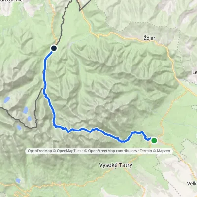 HardMulti-dayMarkedTatranská Lomnica Lysá PoľanaElevation profile853–2 268 m27.3 kmascent 1 415 m≈ 9.5 h walkingunder 1 km from Litvorové pleso
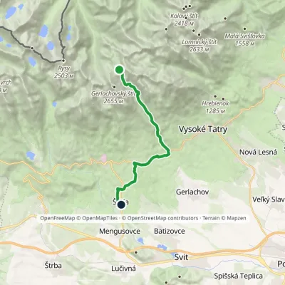 HardOne-dayMarkedNižné Hágy Junction below Poľský hrebeňElevation profile849–2 195 m14.6 kmascent 95 m≈ 4 h walkingunder 1 km from Litvorové pleso
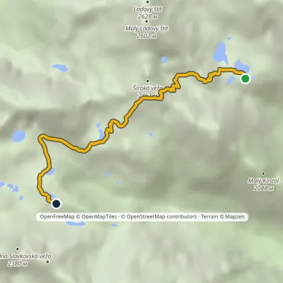 HardOne-dayMarkedTéryho chata Zbojnícka chataElevation profile1 970–2 260 m4.9 kmascent 247 m≈ 1.5 h walking2.6 km from Litvorové pleso
Nearby attractions
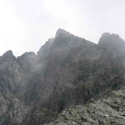 PeakVýchodná VysokáNová Poliankaaltitude 2 429 m1.2 km from Litvorové plesoVýchodná Vysoká ("Eastern High One"; Polish Mała Wysoka) is a pyramid-shaped peak 2429 m high (more precisely 2428.6 m) on the main ridge of the High Tatras in Slovakia.
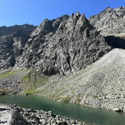 LakeDlhé pleso (Velická dolina)Nová Polianka1.6 km from Litvorové plesoDlhé pleso (the Long Tarn) in Velická dolina is a small elongated lake in the High Tatras, within Tatra National Park (TANAP).
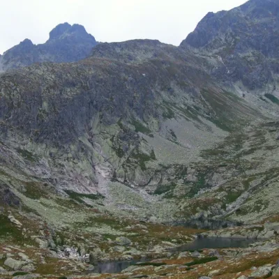 LakeZbojnícke plesáStarý Smokovec2.2 km from Litvorové plesoZbojnícke plesá (the Brigands' Tarns) are a group of small glacial lakes on Zbojnícka pláň, the broad, gently sloping upper storey of Veľká Studená dolina in the High...
Craft nearby
All craft places Water parks & thermal poolsClimatic spas of the High Tatras: Nový Smokovec, Polianka, KotlinaVysoké Tatry7.7 km from Litvorové plesoNový Smokovec is the best known of the climatic spas of the High Tatras. It grew up in a spruce forest at about 1010 m, south-west of Starý Smokovec, with which it...
 Cheese dairies & pasturesShepherd's Hut on Rusinowa PolanaBrzegi9.9 km from Litvorové plesoRusinowa Polana is one of the most beautiful mountain glades in the Polish Tatras, and from May to October it is home to the bacówka (shepherd's hut) of baca Stanisław...
 Cheese dairies & pasturesFurtek's Shepherd's Huts, Kuźnice and KalatówkiZakopane15 km from Litvorové plesoAbove Kuźnice — the southern edge of Zakopane where most hikes into the Western and High Tatras begin — the flocks are tended by baca Andrzej Staszel, nicknamed "Furtek".
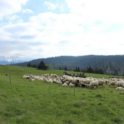 Cheese dairies & pasturesU Jancoka Shepherd's Hut, Brzegi: oscypek from Poland's first female bacaBrzegi16 km from Litvorové plesoThe U Jancoka shepherd's hut (bacówka) stands beside regional road 960, which runs from Bukowina Tatrzańska to the Łysa Polana border crossing, in the village of Brzegi.
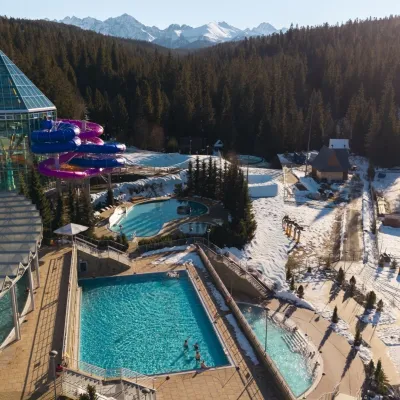 Water parks & thermal poolsTermy BukovinaBukowina Tatrzańska17 km from Litvorové plesoTermy Bukovina is a modern thermal pool complex in Bukowina Tatrzańska, a village lying about a thousand metres above sea level on the edge of the Tatra National Park.
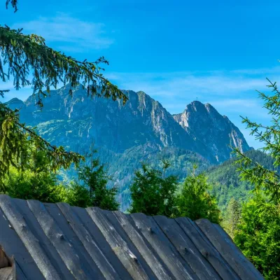 Koliby & Hutsul cuisineBąkowo Zohylina Wyźnio Highland TavernZakopane17 km from Litvorové plesoBąkowo Zohylina Wyźnio is a regional highland tavern in Zakopane housed in a wooden "szałas" (shepherd-hut-style building) with a view of the Tatras.
