Zbojnícke plesá
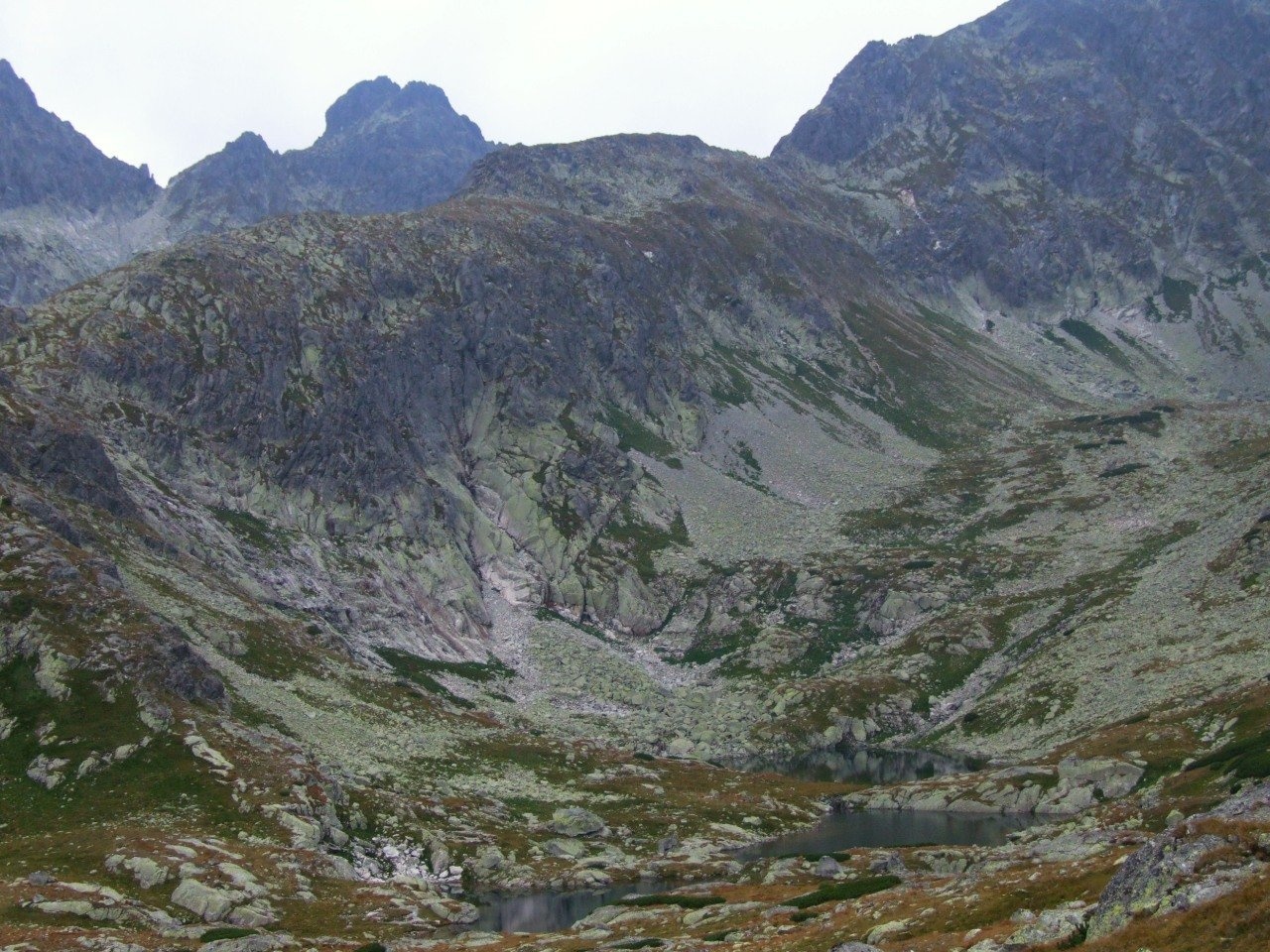
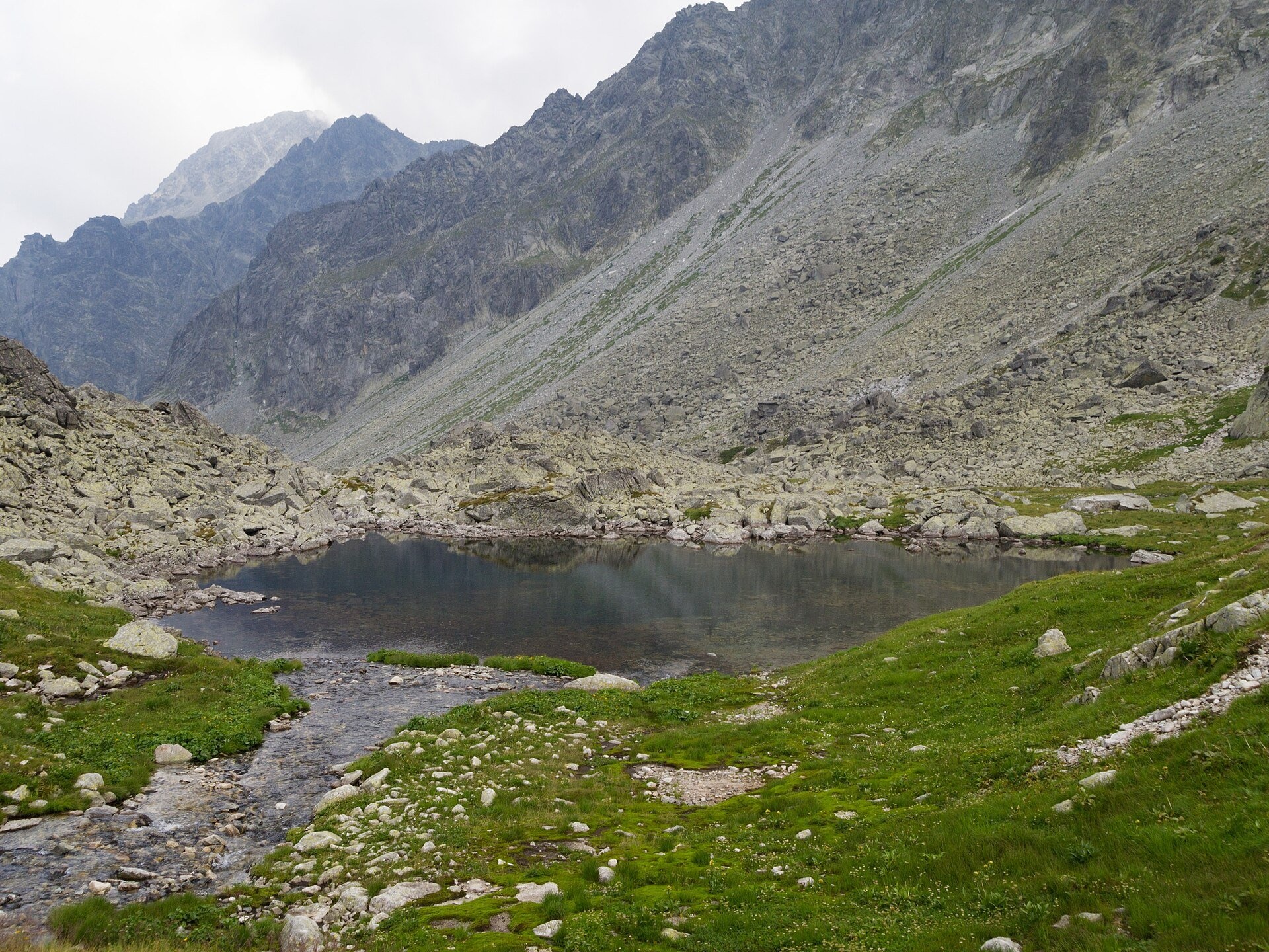
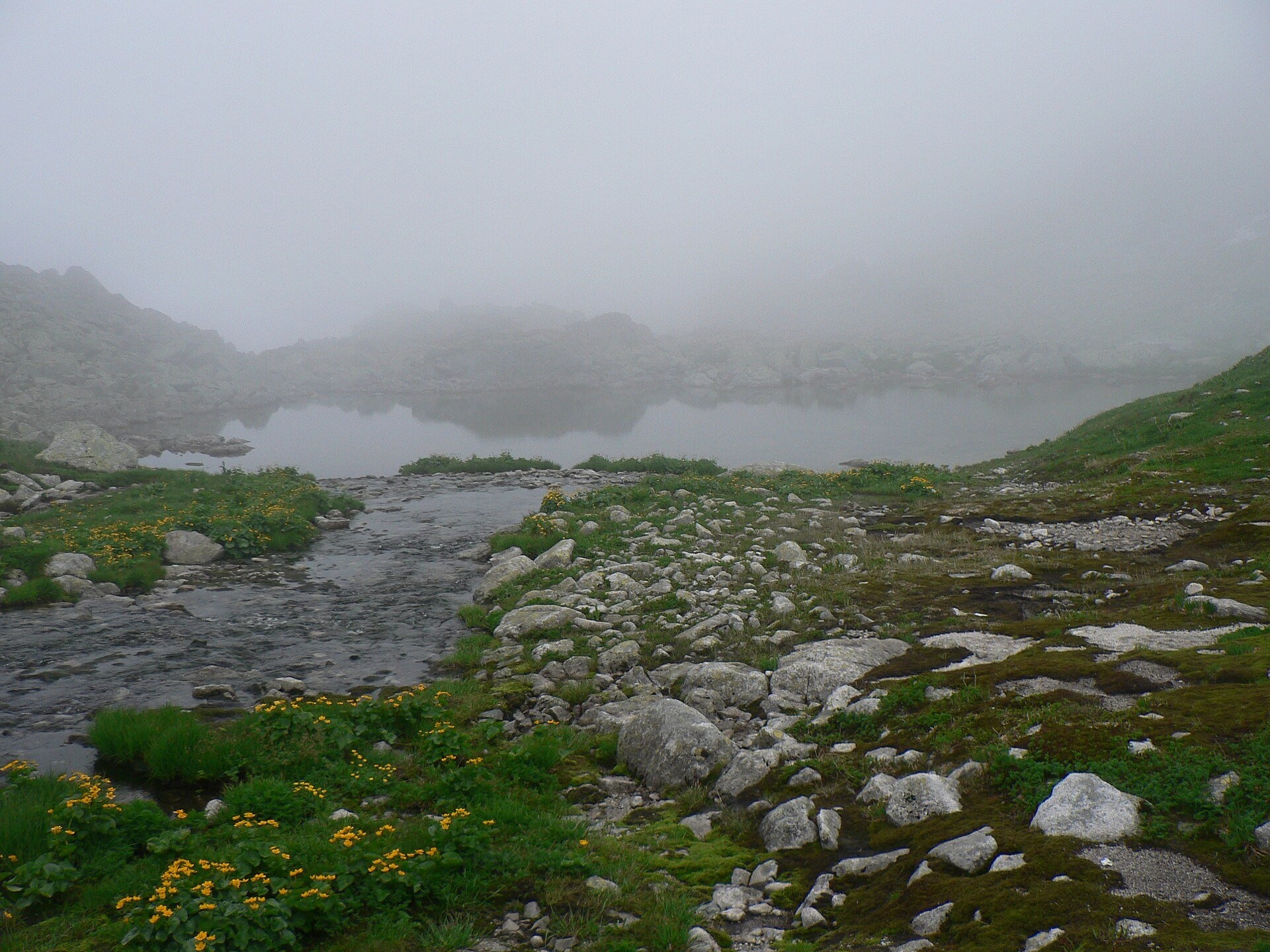
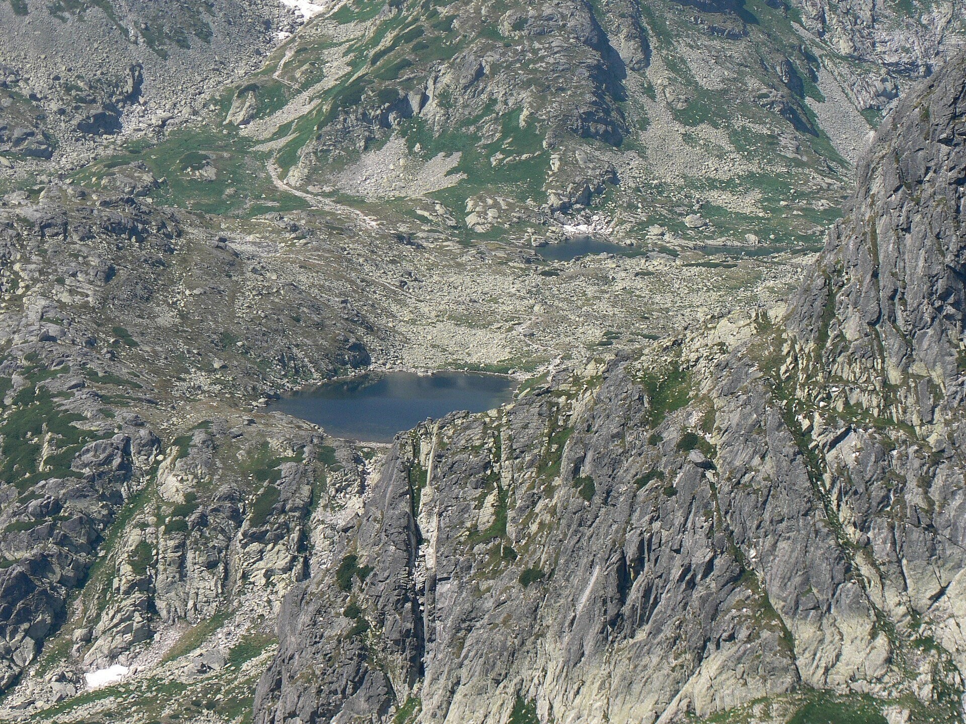
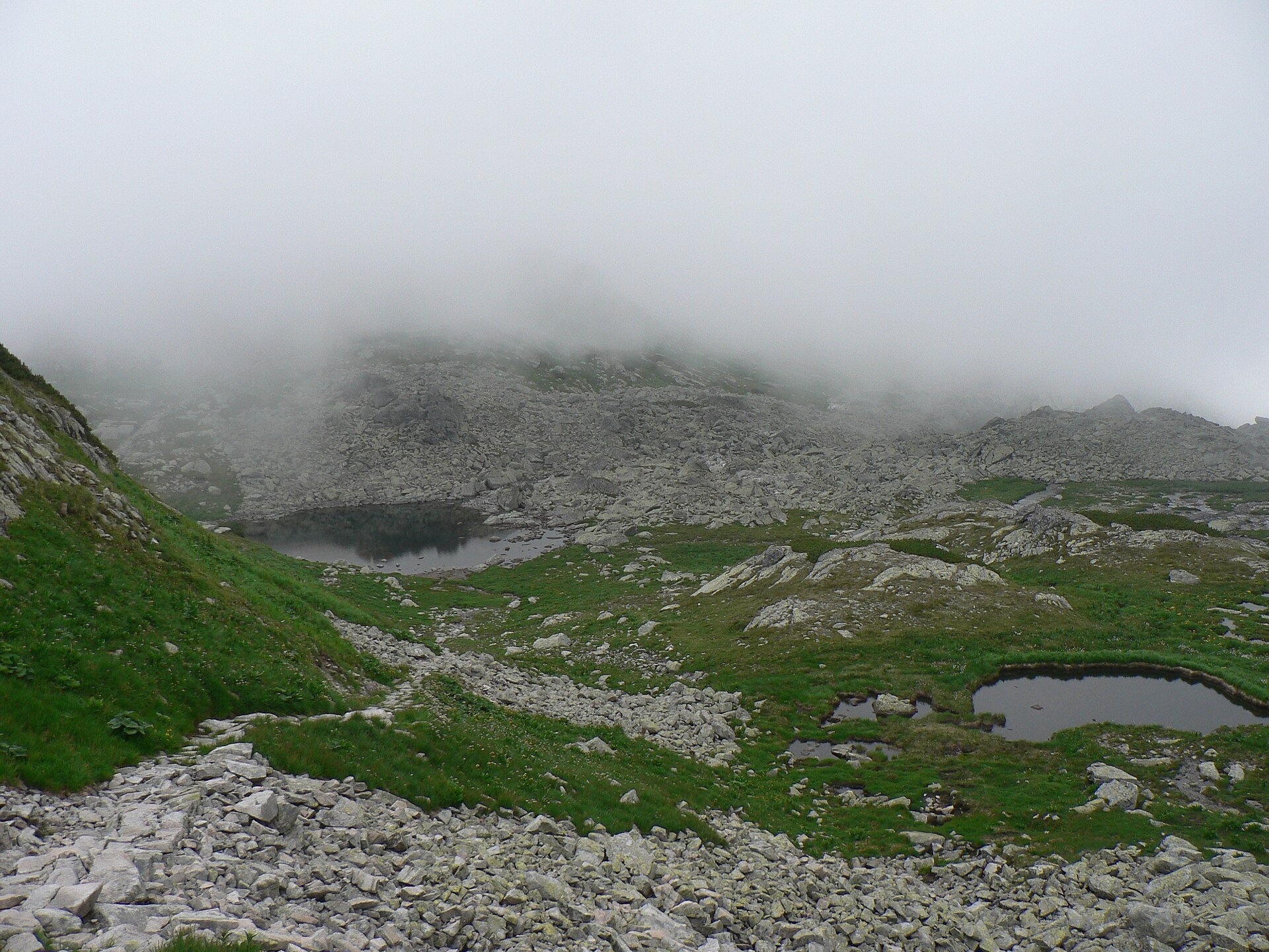
Zbojnícke plesá (the Brigands' Tarns) are a group of small glacial lakes on Zbojnícka pláň, the broad, gently sloping upper storey of Veľká Studená dolina in the High Tatras, within Tatra National Park (TANAP). Veľká Studená dolina is about 5.5 km long and has more tarns than any other valley in the Tatras — 26 of them — and the Zbojnícke group is one of the best known because Zbojnícka chata stands right next to it.
In Slovak usage the group comprises Nižné, Prostredné and Vyšné Zbojnícke pleso and the tiny Malé. Prostredné is in fact two parts of one lake separated by a narrow neck. The largest and deepest is Vyšné: according to Józef Szaflarski's measurements of 1931–1932, 0.66 ha and 7 m deep. The tarns lie at about 1,958–1,972 m and are linked by a short stream; in Polish literature the names of these lakes and of the neighbouring Harnaskie (Sesterské) tarns are muddled, so different guidebooks may call them differently.
The name refers to Tatra "zbojníci" — brigands; according to Slovak Wikipedia the tarns were probably named after the poachers who once roamed the valley, but there are no stories linking brigands to this very spot. The hut took its name from the tarns.
What to see and do
- Zbojnícka chata (about 1,960 m) — a year-round mountain hut a few minutes from the tarns. Its predecessor, a hunting lodge, was built by the state forestry in 1907–1908 and opened to hikers in 1910; it was named Zbojnícka chata in 1924. The present building went up in 1983–1986 and was rebuilt after a fire on the night of 14–15 June 1998. The hut is still supplied only by porters: in 2017 one of them carried a 143 kg load up here.
- Zbojnícka pláň — a stony plateau among High Tatra summits with views of Javorový štít and the walls above the valley; in summer meadow plants flower between the boulders.
- High-mountain quiet — unlike the lakes near cable cars, only hikers on foot get here.
How to get there
Zbojnícke plesá lie on the blue Tatranská Lomnica – Lysá Poľana route. The most convenient start is Hrebienok (1,272 m), reached by funicular from Starý Smokovec. From Hrebienok to Rainerova chata takes 30–35 min, then the blue trail follows the Veľký Studený potok to Zbojnícka chata: 2 h 15 min up, 1 h 45 min down. From the hut to the tarns it is another 10 min or so — the blue trail passes right between the lakes. That is about three hours one way and almost 700 m of ascent — a long mountain day with no technical sections below the hut. Beyond, the blue route climbs to the Prielom pass (2,288 m) and into Bielovodská dolina, while from Téryho chata you can come here only one way, on the yellow Téryho chata – Zbojnícka chata route over Priečne sedlo.
Season and safety
Entry to TANAP is free. The path to Zbojnícka chata is open all year, while above the hut — to Prielom and Priečne sedlo — the seasonal closure applies from 1 November to 31 May (§ 4 of the TANAP Visitor Regulations, decree 26/2023). As of 2026 TANAP reports restrictions on trails around Hrebienok and the Studené doliny valleys because of repair works, so check the current notices before you set out. You may walk only on marked trails and only in daylight; dogs are not allowed on the blue trail from Hrebienok to Prielom, and drones are banned without a permit. In winter the valley is avalanche-prone — even experienced climbers have died here. Mountain Rescue Service HZS: 18 300, general emergency number 112.
Nearby
- Päť Spišských plies (Five Spiš Tarns) and Téryho chata — in the neighbouring Malá Studená dolina.
- Modré pleso — the highest lake of the Tatras.
- Slavkovský štít and Východná Vysoká — summits above the valley.
- Velické pleso and Sliezsky dom — on the other side of the ridge.
Official website: tanap.sk
Starolesnianske and Ľadové pleso
On the same Zbojnícka pláň lies Starolesnianske pleso, at 2,000 m, with an area of 7,110 m² and a depth of up to 4 m. The name recalls that the valley belonged to the historical lands of the village of Stará Lesná; older guidebooks use forms such as "Starolesné pleso", and Polish nomenclature treats it as the largest and highest of the Harnaskie Stawy (Wyżni Harnaski Staw). The tarn can be seen from the routes to Zbojnícka chata – the blue trail from Rainerova chata and the yellow trail from Téryho chata over Priečne sedlo (one-way only there). Higher up, in a hollow below the south-east face of Hranatá veža and Kresaný roh, lies Ľadové pleso – 2,057 m, 1.72 ha, 17.8 m deep. Its name comes from the ice: the tarn usually stays frozen until summer. A marked trail leads to it from Zbojnícka chata; the sections above the hut are closed from 1 November to 31 May (Decree 26/2023).
Photos: Jerzy Opioła, CC BY-SA 4.0, Wikimedia Commons; Rafał Kozubek, CC BY-SA 3.0, Wikimedia Commons; Krzysztof Dudzik-Górnicki (User:ToSter), CC BY-SA 3.0, Wikimedia Commons.
Getting there from Ukraine
Border crossings
- Uzhhorod – Vyšné Nemecké — road, 24/7
- Malyi Bereznyi – Ubľa — road, 24/7 For cars and buses; pedestrians not confirmed by the Ukrainian border service, lorries up to 3.5 t.
- Mali Selmentsi – Veľké Slemence (pedestrian) — pedestrian, 09:00–21:00 Kyiv time Pedestrians and cyclists only; inconvenient for the Tatras without onward transport.
- Chop – Čierna nad Tisou (rail) — rail, 24/7
By car
Uzhhorod – Poprad ≈195 km, ≈2 h 55 min without queues: Uzhhorod – Vyšné Nemecké checkpoint → I/19 via Sobrance and Michalovce → Košice → D1 motorway via Prešov → Poprad (Liptovský Mikuláš is ≈56 km further on the D1, total ≈249 km). Košice – Poprad ≈112 km. The D1 requires an e-vignette (eznamka.sk). Note: from Lviv the fastest way to Poprad is through Poland — Krakovets – A4 – Kraków – Zakopane – Łysa Polana ≈468 km (≈5 h 50 min); via Uzhok and Malyi Bereznyi ≈419 km but slower (≈6 h 40 min). Zakopane – Poprad ≈69 km, Zakopane – Liptovský Mikuláš ≈80 km.
Checked 23.10.2026; border crossing hours and timetables change — check before you travel.
Location on the map
Comments
Trails nearby
All trails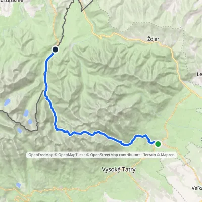 HardMulti-dayMarkedTatranská Lomnica Lysá PoľanaElevation profile853–2 268 m27.3 kmascent 1 415 m≈ 9.5 h walkingunder 1 km from Zbojnícke plesá
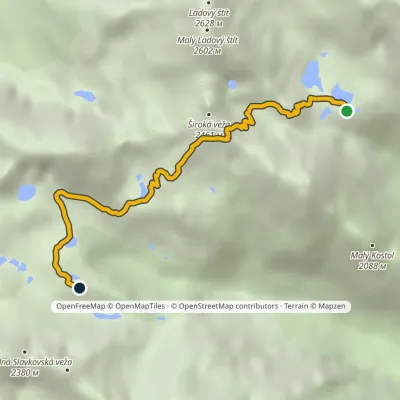 HardOne-dayMarkedTéryho chata Zbojnícka chataElevation profile1 970–2 260 m4.9 kmascent 247 m≈ 1.5 h walkingunder 1 km from Zbojnícke plesá
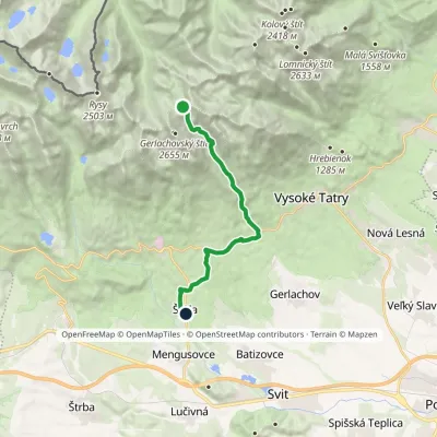 HardOne-dayMarkedNižné Hágy Junction below Poľský hrebeňElevation profile849–2 195 m14.6 kmascent 95 m≈ 4 h walking1.5 km from Zbojnícke plesá
Nearby attractions
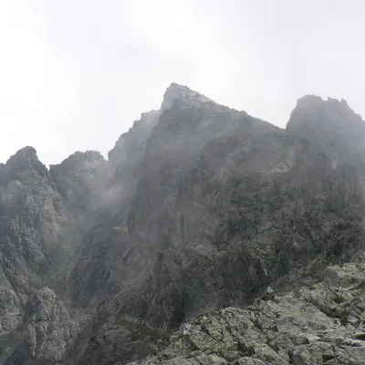 PeakVýchodná VysokáNová Poliankaaltitude 2 429 m1.1 km from Zbojnícke plesáVýchodná Vysoká ("Eastern High One"; Polish Mała Wysoka) is a pyramid-shaped peak 2429 m high (more precisely 2428.6 m) on the main ridge of the High Tatras in Slovakia.
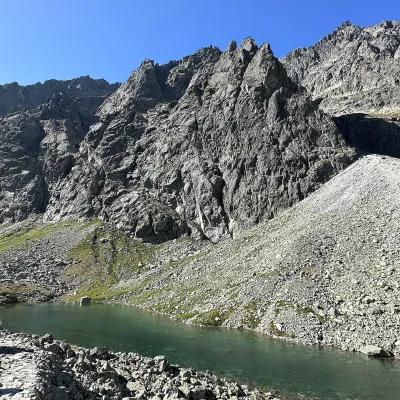 LakeDlhé pleso (Velická dolina)Nová Polianka1.8 km from Zbojnícke plesáDlhé pleso (the Long Tarn) in Velická dolina is a small elongated lake in the High Tatras, within Tatra National Park (TANAP).
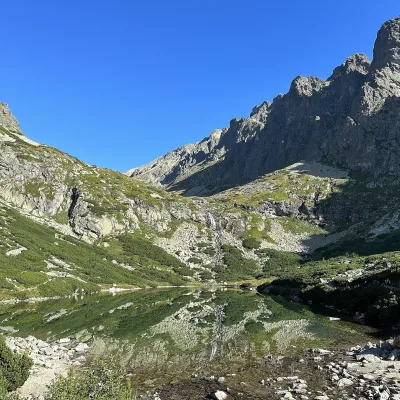 LakeVelické pleso and Sliezsky domNová Polianka2.3 km from Zbojnícke plesáVelické pleso is the largest lake of the Velická valley in the High Tatras, at 1,663 m, at the foot of Gerlachovský štít — the highest peak of the Tatras.
Craft nearby
All craft places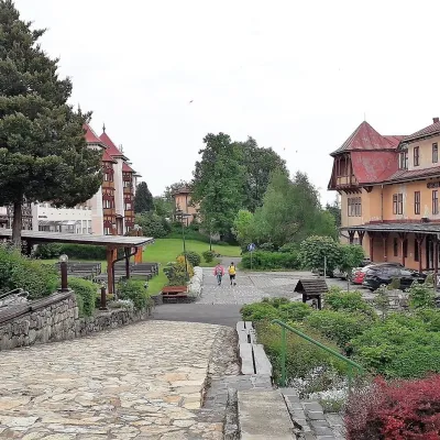 Water parks & thermal poolsClimatic spas of the High Tatras: Nový Smokovec, Polianka, KotlinaVysoké Tatry6.1 km from Zbojnícke plesáNový Smokovec is the best known of the climatic spas of the High Tatras. It grew up in a spruce forest at about 1010 m, south-west of Starý Smokovec, with which it...
 Cheese dairies & pasturesShepherd's Hut on Rusinowa PolanaBrzegi11 km from Zbojnícke plesáRusinowa Polana is one of the most beautiful mountain glades in the Polish Tatras, and from May to October it is home to the bacówka (shepherd's hut) of baca Stanisław...
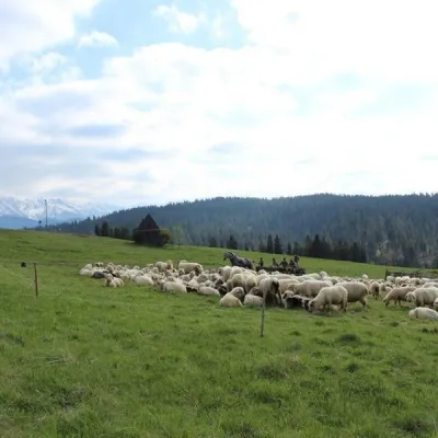 Cheese dairies & pasturesU Jancoka Shepherd's Hut, Brzegi: oscypek from Poland's first female bacaBrzegi16 km from Zbojnícke plesáThe U Jancoka shepherd's hut (bacówka) stands beside regional road 960, which runs from Bukowina Tatrzańska to the Łysa Polana border crossing, in the village of Brzegi.
 Cheese dairies & pasturesFurtek's Shepherd's Huts, Kuźnice and KalatówkiZakopane17 km from Zbojnícke plesáAbove Kuźnice — the southern edge of Zakopane where most hikes into the Western and High Tatras begin — the flocks are tended by baca Andrzej Staszel, nicknamed "Furtek".
 Water parks & thermal poolsAquaCity Poprad water parkPoprad17 km from Zbojnícke plesáAquaCity Poprad is a large year-round water park and wellness complex in the town of Poprad, a few minutes from the centre; according to the complex, the High Tatras...
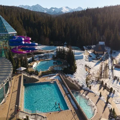 Water parks & thermal poolsTermy BukovinaBukowina Tatrzańska17 km from Zbojnícke plesáTermy Bukovina is a modern thermal pool complex in Bukowina Tatrzańska, a village lying about a thousand metres above sea level on the edge of the Tatra National Park.
