Päť Spišských plies (Five Spiš Tarns)
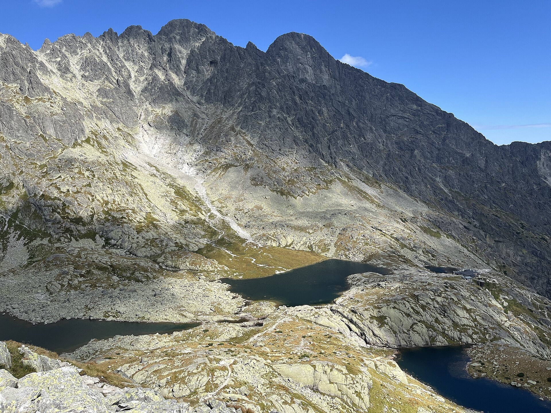
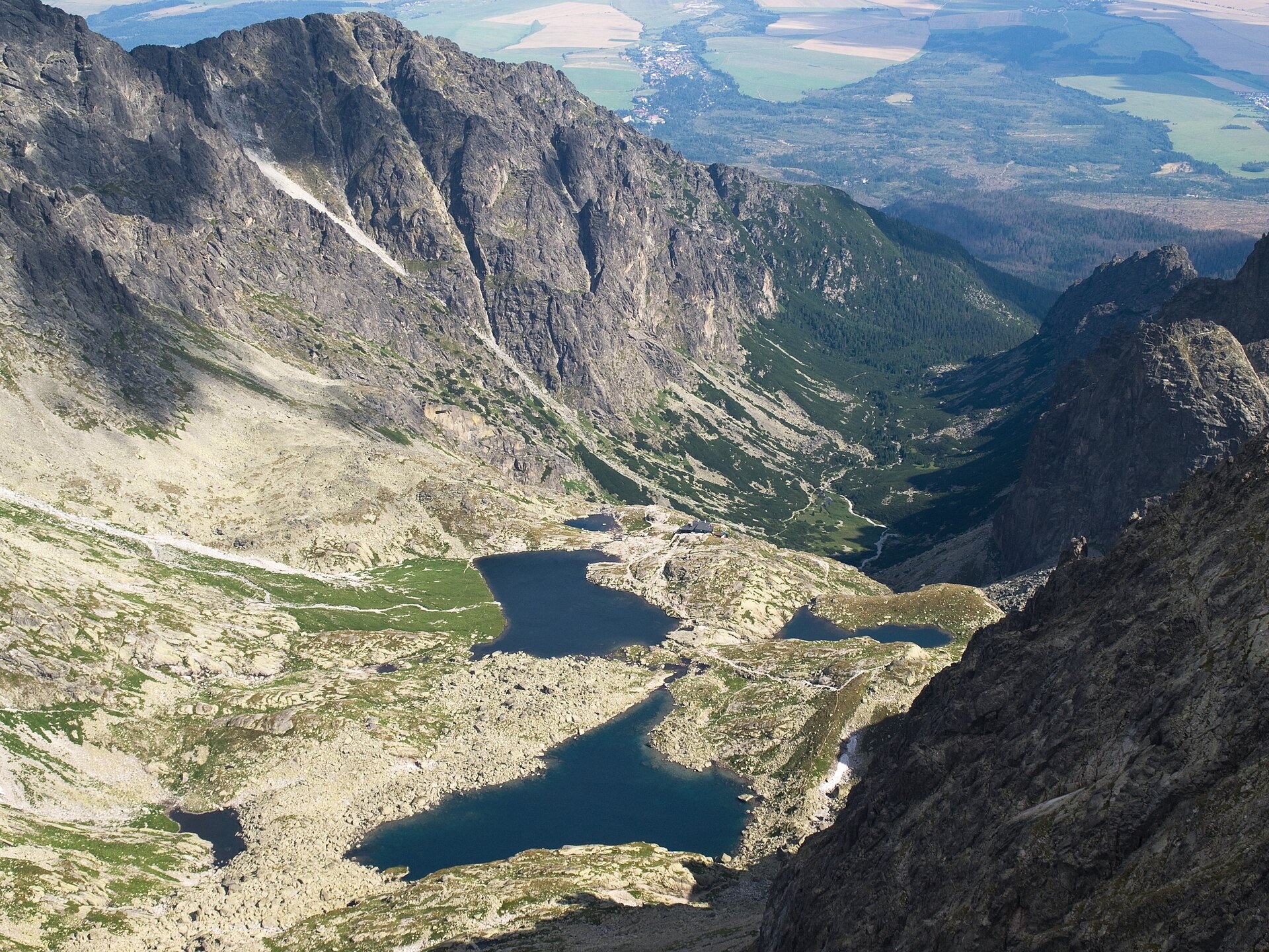
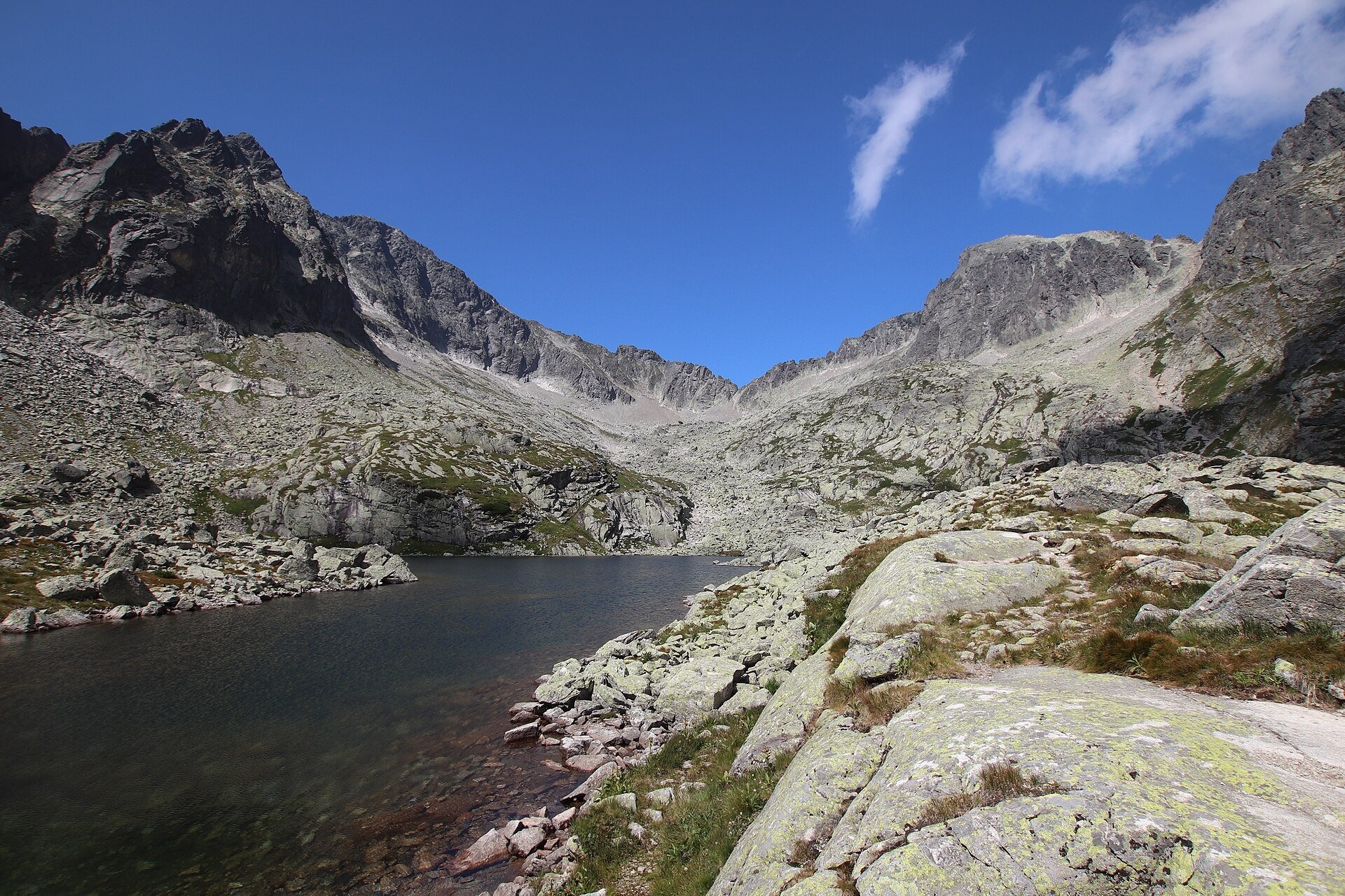
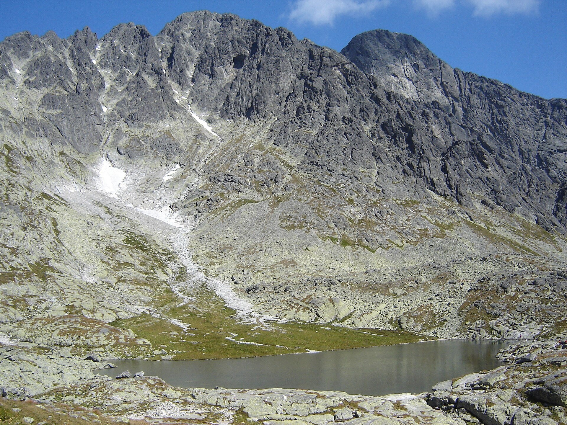
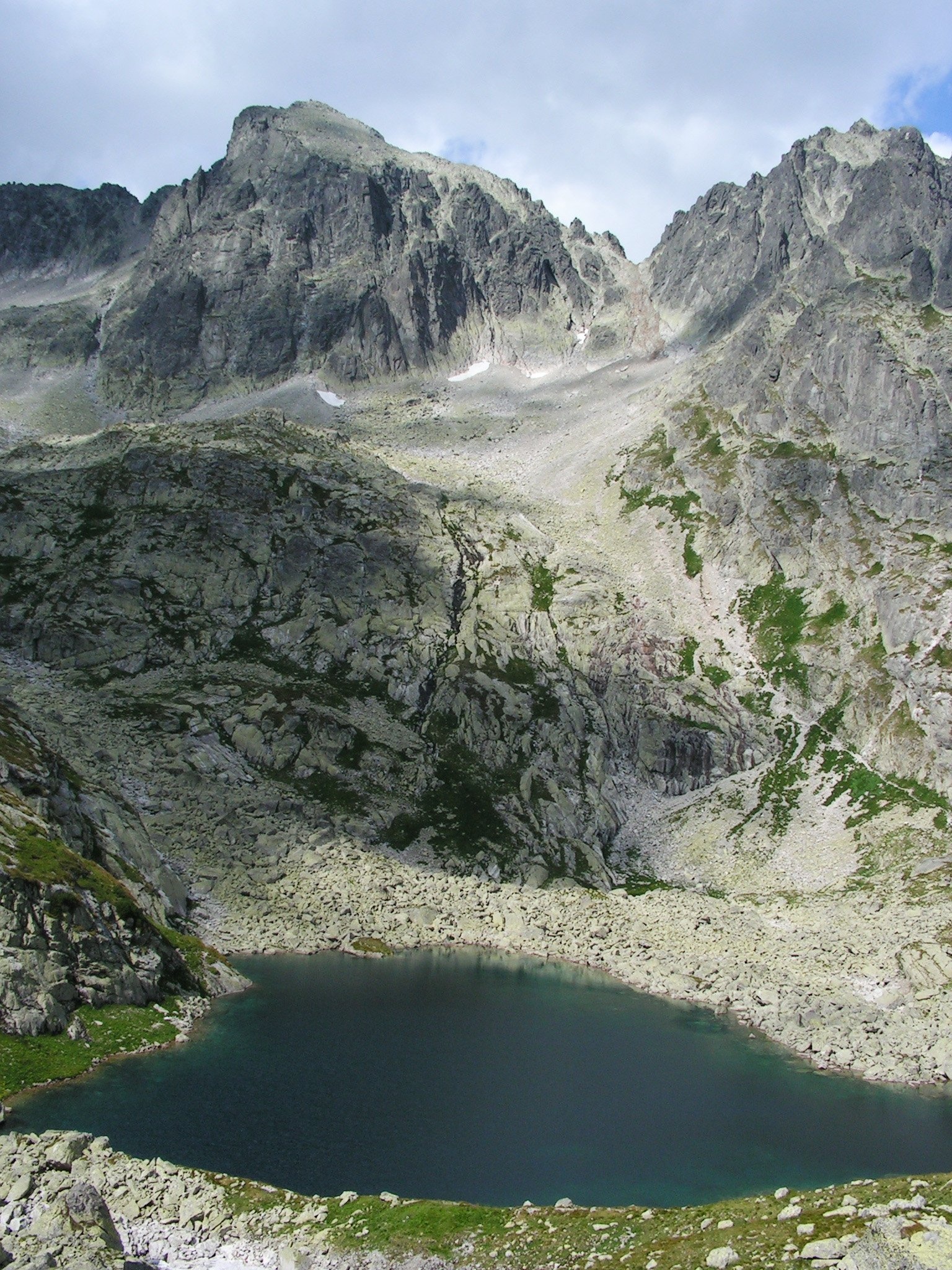
Päť Spišských plies (the Five Spiš Tarns) is a group of five glacial lakes at the very head of Malá Studená dolina in the Slovak High Tatras, within Tatra National Park (TANAP) and the Studené doliny nature reserve. The tarns lie in a basin below the Ľadový štít massif (2,627 m) and are named after their number and after the historical Spiš county, on whose territory they lie.
All five tarns lie at roughly 2,000–2,022 m. The largest and deepest is Veľké Spišské pleso: 3.48 ha, 10 m deep, at 2,014 m. Next to it lies Prostredné (Middle) pleso — 2.36 ha but only 4.6 m deep; lower down are Nižné (0.71 ha) and the tiny Malé (0.18 ha), and the highest, at 2,022 m, is the shallow Vyšné pleso (0.21 ha, 1.5 m). Water flows from Veľké into Prostredné and leaves it in two directions: through Malé pleso into the Malý Studený potok stream, which drops over a 200-metre rock terrace called Jazerná stena, and through Nižné pleso, below which it disappears under the boulders.
Malá Studená dolina is a classic "stepped" valley about 4 km long: on its lowest step thunders the Obrovský vodopád (Giant Waterfall), higher up are the meadow with Zamkovského chata and a broad plateau, and the tarn basin forms the top storey. Dwarf pine and Swiss stone pine grow here, and Tatra chamois and marmots can be seen.
What to see and do
- Téryho chata (2,015 m) above Prostredné pleso — the highest year-round mountain hut in the High Tatras. It opened on 21 August 1899 on the initiative of the Hungarian mountaineer and physician Edmund Téry, to a design by the architect Gedeon Majunke; during the 1979–1982 reconstruction porters carried 197 t of building materials up on their backs and another 570 t were flown in by helicopter. Today the hut runs on solar panels.
- A panorama of the basin — from the hut you can see all the tarns and the surrounding peaks: Ľadový štít, Prostredný hrot, Široká veža, Snehový štít, Spišský and Pyšný štít and Lomnický štít.
- Photography — the best shots come from the path above Prostredné pleso and from the climb towards Priečne sedlo, where three tarns are visible together.
How to get there
The starting point is Hrebienok (1,272 m), reached from Starý Smokovec by funicular or on foot (about 1 h). From Hrebienok the red Tatranská magistrála leads past Rainerova chata and the Obrovský waterfall to Zamkovského chata (about 1 h), then the green trail climbs to Téryho chata: 1 h 45 min up, 1 h 20 min down. At first the gradient is moderate, but below Prostredný hrot the path zigzags steeply up the slope. In total that is 2 h 45 min one way and about 750 m of ascent — a proper mountain day for fit walkers, not for prams. The green trail from Hrebienok is part of the Stary Smokowiec – Tatrzańska Jaworina route. From Téryho chata the yellow Téryho chata – Zbojnícka chata route crosses Priečne sedlo with chains — one way only, towards Zbojnícka chata.
Season and safety
Entry to TANAP is free; only the funicular and cable cars are paid. The path to Téryho chata is open all year, but above the hut — to Sedielko and over Priečne sedlo — the seasonal closure applies from 1 November to 31 May (§ 4 of the TANAP Visitor Regulations, decree 26/2023). On 13 July 2026 the rebuilt section from the Pod Sedielkom junction to the saddle reopened: it was moved onto solid rock and fitted with chains and iron steps. You may walk only on marked trails and only in daylight; dogs are not allowed on the green trail from Hrebienok to Sedielko, and drones are banned without a permit. In winter the climb to the tarns is for experienced walkers with proper gear — check the avalanche forecast. Mountain Rescue Service HZS: 18 300, general emergency number 112.
Nearby
- Modré pleso — the highest lake of the Tatras, above the basin on the way to Sedielko.
- Zbojnícke plesá — on the other side of Priečne sedlo.
- Skalnaté pleso, Observatory and Lomnický štít Cable Car — along the magistrála from Zamkovského chata.
- Obrovský vodopád (Giant Waterfall) — on the way from Hrebienok.
Official website: tanap.sk
Photos: Punteador, CC BY-SA 4.0, Wikimedia Commons; Rafik k, CC BY-SA 4.0, Wikimedia Commons; Andrzej Otrębski, CC BY 4.0, Wikimedia Commons; Branork, CC BY-SA 2.5, Wikimedia Commons; Andrzej Otrębski, CC BY-SA 4.0, Wikimedia Commons; Krzysztof Dudzik-Górnicki (User:ToSter), CC BY-SA 3.0, Wikimedia Commons.
Getting there from Ukraine
Border crossings
- Uzhhorod – Vyšné Nemecké — road, 24/7
- Malyi Bereznyi – Ubľa — road, 24/7 For cars and buses; pedestrians not confirmed by the Ukrainian border service, lorries up to 3.5 t.
- Mali Selmentsi – Veľké Slemence (pedestrian) — pedestrian, 09:00–21:00 Kyiv time Pedestrians and cyclists only; inconvenient for the Tatras without onward transport.
- Chop – Čierna nad Tisou (rail) — rail, 24/7
By car
Uzhhorod – Poprad ≈195 km, ≈2 h 55 min without queues: Uzhhorod – Vyšné Nemecké checkpoint → I/19 via Sobrance and Michalovce → Košice → D1 motorway via Prešov → Poprad (Liptovský Mikuláš is ≈56 km further on the D1, total ≈249 km). Košice – Poprad ≈112 km. The D1 requires an e-vignette (eznamka.sk). Note: from Lviv the fastest way to Poprad is through Poland — Krakovets – A4 – Kraków – Zakopane – Łysa Polana ≈468 km (≈5 h 50 min); via Uzhok and Malyi Bereznyi ≈419 km but slower (≈6 h 40 min). Zakopane – Poprad ≈69 km, Zakopane – Liptovský Mikuláš ≈80 km.
Checked 23.10.2026; border crossing hours and timetables change — check before you travel.
Location on the map
Comments
Trails nearby
All trails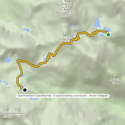 HardOne-dayMarkedTéryho chata Zbojnícka chataElevation profile1 970–2 260 m4.9 kmascent 247 m≈ 1.5 h walkingunder 1 km from Päť Spišských plies (Five Spiš Tarns)
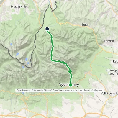 HardTwo-dayMarkedStary Smokowiec Tatrzańska JaworinaElevation profile996–2 342 m22.4 kmascent 1 382 m≈ 8.5 h walkingunder 1 km from Päť Spišských plies (Five Spiš Tarns)
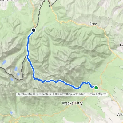 HardMulti-dayMarkedTatranská Lomnica Lysá PoľanaElevation profile853–2 268 m27.3 kmascent 1 415 m≈ 9.5 h walking1.8 km from Päť Spišských plies (Five Spiš Tarns)
Nearby attractions
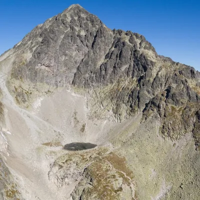 LakeModré plesounder 1 km from Päť Spišských plies (Five Spiš Tarns)Modré pleso (the Blue Tarn) is the highest permanent lake in the whole Tatras. It lies at 2,192 m (Czech and German sources give 2,189 m) in Dolinka pod Sedielkom, a...
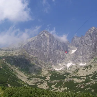 PeakLomnický štítaltitude 2 634 m1.2 km from Päť Spišských plies (Five Spiš Tarns)Lomnický štít (Polish Łomnica, German Lomnitzer Spitze) is one of the highest and most visited peaks of the High Tatras.
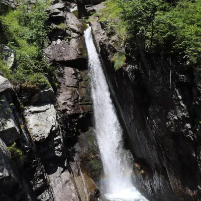 WaterfallObrovský vodopád (Giant Waterfall)2.9 km from Päť Spišských plies (Five Spiš Tarns)Obrovský vodopád (Polish Wodospad Olbrzymi, German Riesenwasserfall – the "Giant Waterfall") is one of the most powerful and photogenic waterfalls of the Slovak High...
Craft nearby
All craft places Cheese dairies & pasturesShepherd's Hut on Rusinowa Polana11 km from Päť Spišských plies (Five Spiš Tarns)Rusinowa Polana is one of the most beautiful mountain glades in the Polish Tatras, and from May to October it is home to the bacówka (shepherd's hut) of baca Stanisław...
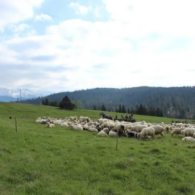 Cheese dairies & pasturesU Jancoka Shepherd's Hut, Brzegi: oscypek from Poland's first female baca16 km from Päť Spišských plies (Five Spiš Tarns)The U Jancoka shepherd's hut (bacówka) stands beside regional road 960, which runs from Bukowina Tatrzańska to the Łysa Polana border crossing, in the village of Brzegi.
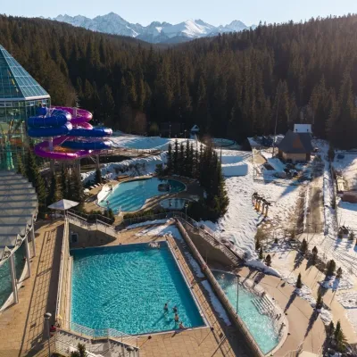 Water parks & thermal poolsTermy Bukovina17 km from Päť Spišských plies (Five Spiš Tarns)Termy Bukovina is a modern thermal pool complex in Bukowina Tatrzańska, a village lying about a thousand metres above sea level on the edge of the Tatra National Park.
 Water parks & thermal poolsAquaCity Poprad water park17 km from Päť Spišských plies (Five Spiš Tarns)AquaCity Poprad is a large year-round water park and wellness complex in the town of Poprad, a few minutes from the centre; according to the complex, the High Tatras...
 Craft beer & breweriesMinipivovar TATRAS, Poprad17 km from Päť Spišských plies (Five Spiš Tarns)Minipivovar TATRAS is a brewpub on Poprad’s main square, Námestie sv. Egídia, housed in a building with a long brewing history.
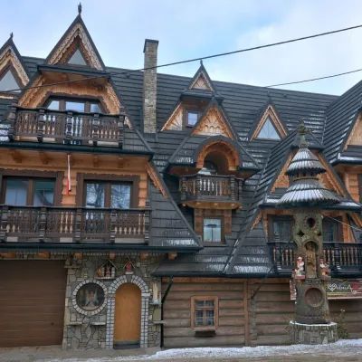 Crafts & workshopsDrewutnia, Bukowina Tatrzańska: glass painting workshops and highland furniture17 km from Päť Spišských plies (Five Spiš Tarns)Drewutnia ("the woodshed") calls itself a "shop for cultural needs". It is the family business of the Kuchtas of Bukowina Tatrzańska, who say they have lived here...
