Batizovský štít
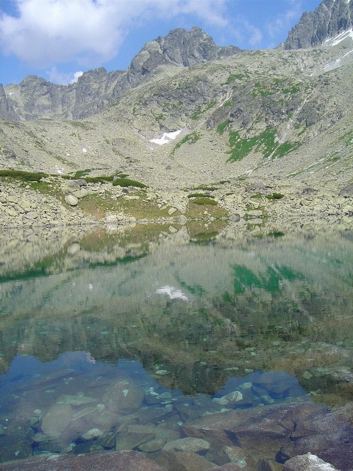
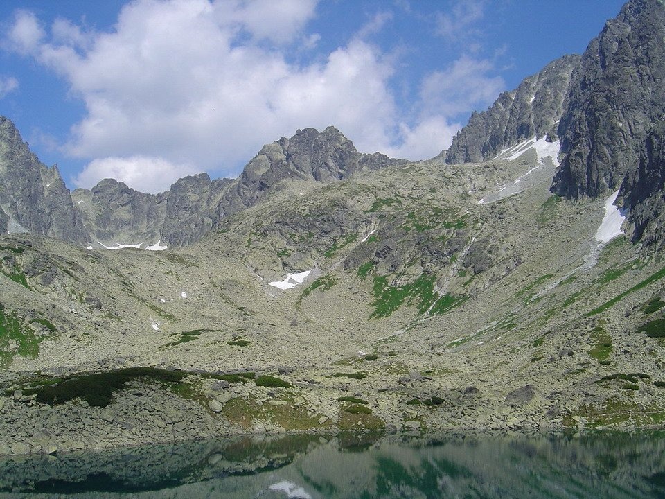
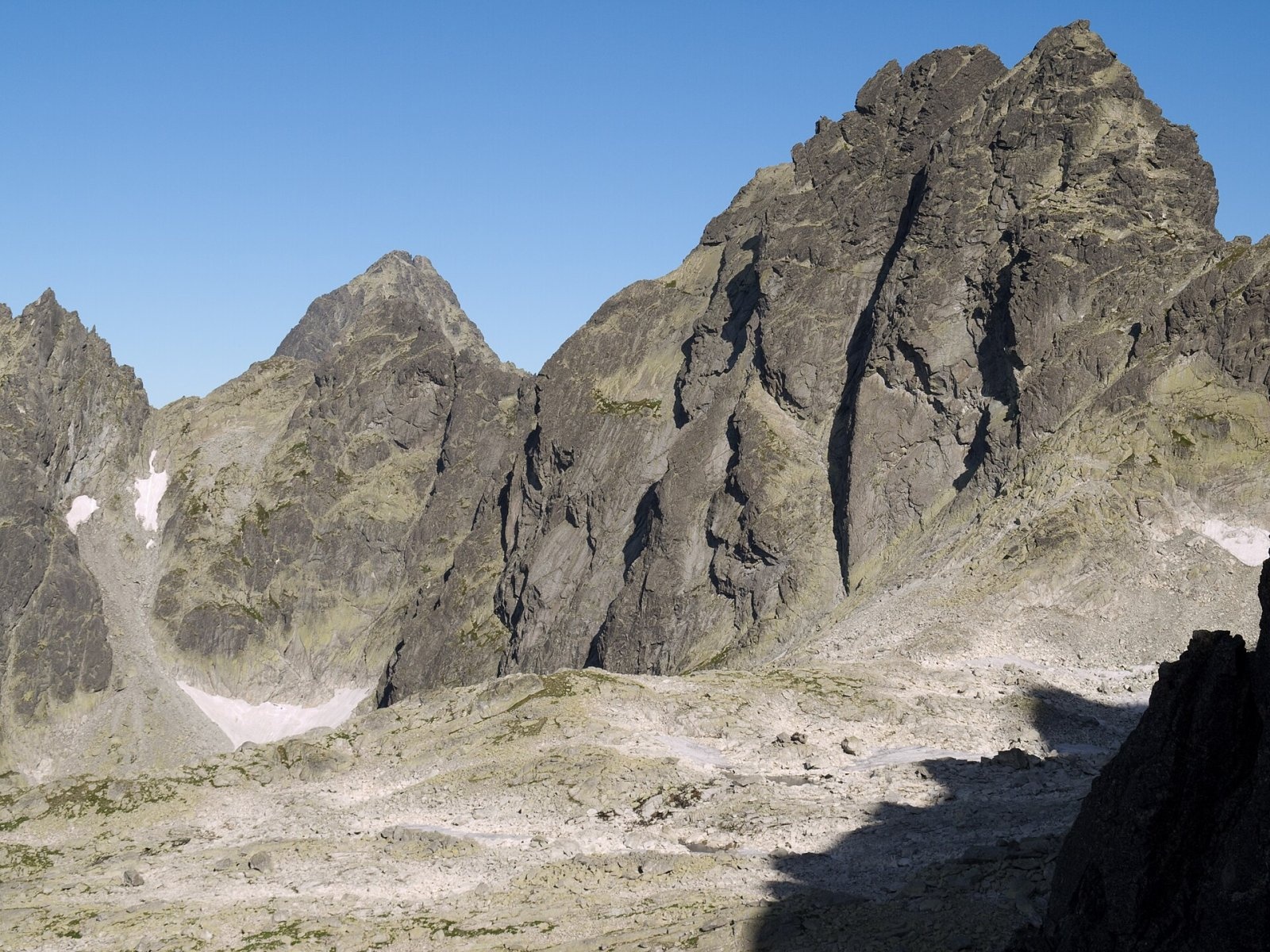
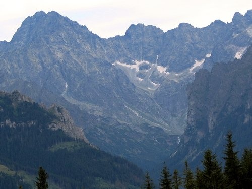
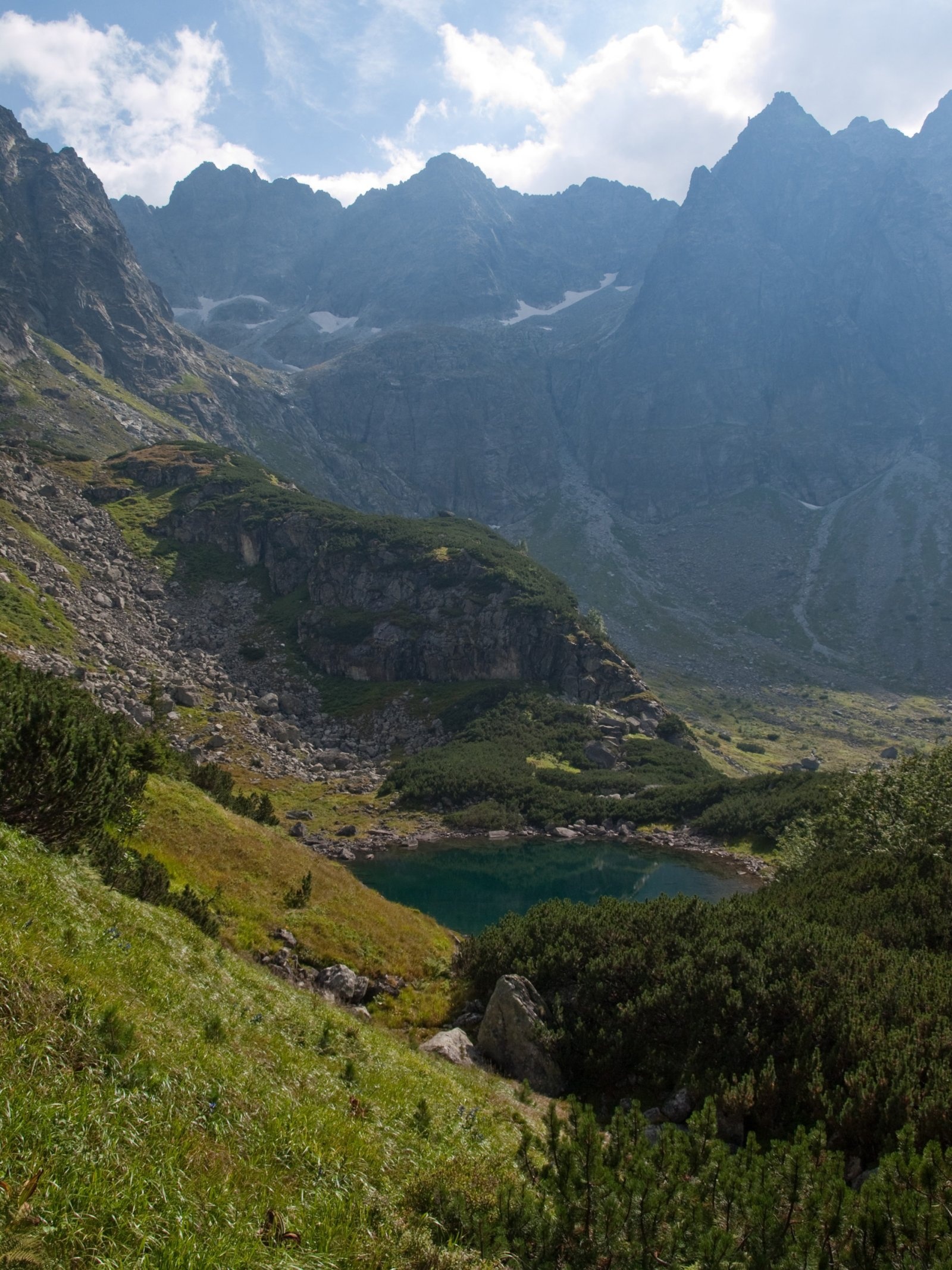
Batizovský štít (Polish Batyżowiecki Szczyt, German Botzdorfer Spitze, Hungarian Batizfalvi-csúcs) is a massive twin-topped summit 2448 m high on the main ridge of the High Tatras in Slovakia. It closes the head of the Batizovská valley above Vyšné Hágy, about 15 km north-west of Poprad, and on the north rises above the Kačacia valley, a branch of the Bielovodská valley. The peak lies in the Prešov Region, on the lands of the town of Vysoké Tatry and of Tatranská Javorina, inside the Tatra National Park (TANAP); the boundary between the Bielovodská dolina and Batizovská dolina reserves runs along the ridge. Batizovský štít is visible even from the foothills — from the village of Batizovce and its surroundings.
Getting there / routes
There is no marked hiking trail to the summit — only climbing routes of grade III and harder, which is why it was among the last High Tatra peaks to be climbed. Ascents are possible only under TANAP’s rules for climbers or with a licensed mountain guide. The usual approach is from Sliezsky dom along the red Tatra Magistrala (Tatranská magistrála) to Batizovské pleso, and from there up the Batizovská valley to the walls.
For hikers, the best way to see the mountain is to walk the Magistrala past Batizovské pleso: from the shore there is the well-known view of the peak reflected in the surface of the lake.
What you can see from the summit
The summit overlooks the Batizovská and Bielovodská valleys and the surrounding ridges and peaks — Gerlachovský štít, Končistá, Gánok and others.
Nature and history
Batizovský štít is the highest point of the ridge between Zadný Gerlach and Popradský Ľadový štít. The Western and Eastern Batizovské saddles, with the Batizovské zuby (teeth) between them, separate it from Zadný Gerlach, and a series of towers and notches, such as Batizovská ihla and Batizovská kopa, separate it from Kačací štít to the west. The mountain has two tops: the main Veľký Batizovský štít and the western Malý Batizovský štít, 3 m lower. Walls 150–300 m high, made of huge granite slabs, fall into both valleys; the solid rock makes them one of the best climbing areas in the High Tatras. South of the massif the isolated tower of Kostolík (2262 m) rises from the valley floor.
The name comes from the village of Batizovce, in whose cadastre the peak lay until 1947: shepherds from there grazed their flocks in the Batizovská valley. English-language sources link the name to the local 13th-century nobleman Batiz, founder of the village. The first summer ascent was made by Karol Jurzyca with guide Jozef Galko-Rusnák on 13 June 1900, the first winter ascent by Zygmunt Klemensiewicz and Jerzy Maślanka on 5 April 1909.
Safety, season and rules
TANAP’s high-mountain trails are closed from 1 November to 31 May; before walking the Magistrala to Batizovské pleso, check which of its sections are open. Leaving the trails in the national park is forbidden. Weather in the High Tatras changes fast, afternoon thunderstorms are common in summer, and snow lingers in the gullies until late spring. Slovak Mountain Rescue Service (HZS): 18 300 (+421 18 300), general emergency number 112.
Photos: Kristo, CC BY-SA 3.0; Kristo, CC BY-SA 3.0; Rafał Kozubek, CC BY-SA 4.0; Dixi, CC BY-SA 3.0; Rafik k, CC BY-SA 3.0; Rafał Kozubek, CC BY-SA 4.0 — Wikimedia Commons.
Getting there from Ukraine
Border crossings
- Uzhhorod – Vyšné Nemecké — road, 24/7
- Malyi Bereznyi – Ubľa — road, 24/7 For cars and buses; pedestrians not confirmed by the Ukrainian border service, lorries up to 3.5 t.
- Mali Selmentsi – Veľké Slemence (pedestrian) — pedestrian, 09:00–21:00 Kyiv time Pedestrians and cyclists only; inconvenient for the Tatras without onward transport.
- Chop – Čierna nad Tisou (rail) — rail, 24/7
By car
Uzhhorod – Poprad ≈195 km, ≈2 h 55 min without queues: Uzhhorod – Vyšné Nemecké checkpoint → I/19 via Sobrance and Michalovce → Košice → D1 motorway via Prešov → Poprad (Liptovský Mikuláš is ≈56 km further on the D1, total ≈249 km). Košice – Poprad ≈112 km. The D1 requires an e-vignette (eznamka.sk). Note: from Lviv the fastest way to Poprad is through Poland — Krakovets – A4 – Kraków – Zakopane – Łysa Polana ≈468 km (≈5 h 50 min); via Uzhok and Malyi Bereznyi ≈419 km but slower (≈6 h 40 min). Zakopane – Poprad ≈69 km, Zakopane – Liptovský Mikuláš ≈80 km.
Checked 23.10.2026; border crossing hours and timetables change — check before you travel.
Location on the map
Water and shelter nearby
- Batizovský potok Spring930 m · Not verified · 2 016 m
- Spring below Zlomisková veža (south-east slope), 1 861 m1.8 km · Not verified · 1 861 m
- Rumanov potok Spring1.8 km · Not verified · 1 934 m
- Spring below Zlomisková veža (south-east slope), 1 836 m1.8 km · Not verified · 1 836 m
- Spring below Zlomisková veža (south-east slope), 1 835 m1.9 km · Not verified · 1 835 m
- Spring below Suchý vrch (south-west slope), 1 664 m2.6 km · Not verified · 1 664 m
- Spring below Suchý vrch (south-west slope), 1 639 m2.6 km · Not verified · 1 639 m
- Spring below Ostrva (north slope)2.7 km · Not verified · 1 634 m
- Hut under Rysy2.9 km · Standing · 2 250 m
Comments
Trails nearby
All trails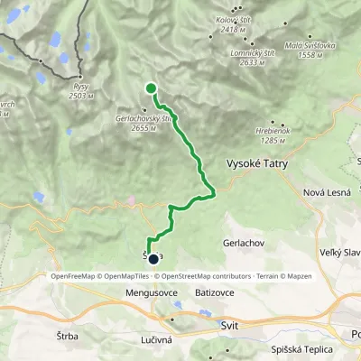 HardOne-dayMarkedNižné Hágy Junction below Poľský hrebeňElevation profile849–2 195 m14.6 kmascent 95 m≈ 4 h walking1.4 km from Batizovský štít
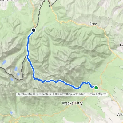 HardMulti-dayMarkedTatranská Lomnica Lysá PoľanaElevation profile853–2 268 m27.3 kmascent 1 415 m≈ 9.5 h walking1.4 km from Batizovský štít
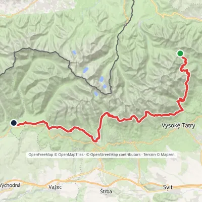 HardMulti-dayMarkedTatranská magistrála (Tatra Highway): Podbanské Veľké Biele plesoElevation profile929–2 043 m50.1 kmascent 1 639 m1.6 km from Batizovský štít
Nearby attractions
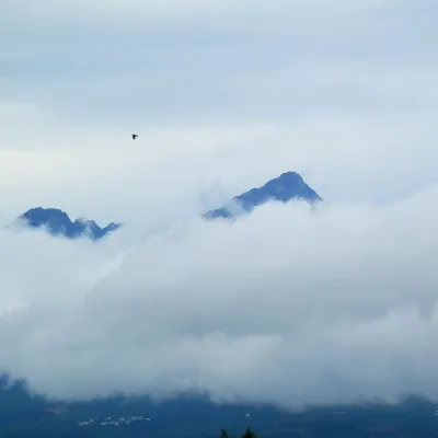 PeakGerlachovský štítVyšné Hágyaltitude 2 655 munder 1 km from Batizovský štítGerlachovský štít (colloquially Gerlach; Polish Gerlach, German Gerlsdorfer Spitze) is the highest peak of the High Tatras, of Slovakia and of the entire Carpathians.
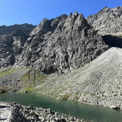 LakeDlhé pleso (Velická dolina)Nová Polianka1.4 km from Batizovský štítDlhé pleso (the Long Tarn) in Velická dolina is a small elongated lake in the High Tatras, within Tatra National Park (TANAP).
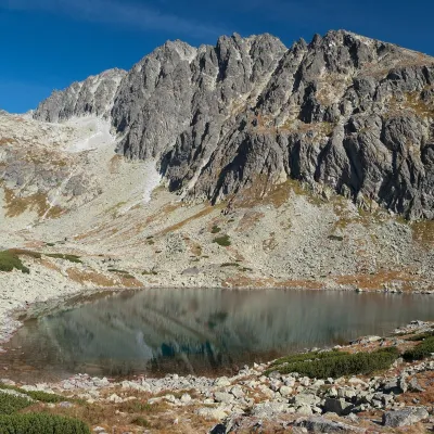 LakeBatizovské plesoVyšné Hágy1.5 km from Batizovský štítBatizovské pleso is a high-mountain lake in the Batizovská valley at 1,884 m, right below the walls of Gerlachovský štít (2,655 m) — the highest peak of the Tatras and...
Craft nearby
All craft places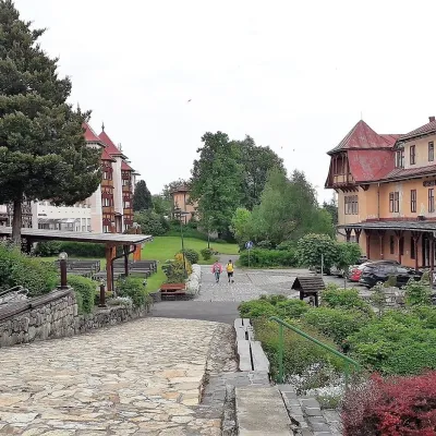 Water parks & thermal poolsClimatic spas of the High Tatras: Nový Smokovec, Polianka, KotlinaVysoké Tatry7.4 km from Batizovský štítNový Smokovec is the best known of the climatic spas of the High Tatras. It grew up in a spruce forest at about 1010 m, south-west of Starý Smokovec, with which it...
 Cheese dairies & pasturesShepherd's Hut on Rusinowa PolanaBrzegi11 km from Batizovský štítRusinowa Polana is one of the most beautiful mountain glades in the Polish Tatras, and from May to October it is home to the bacówka (shepherd's hut) of baca Stanisław...
 Cheese dairies & pasturesFurtek's Shepherd's Huts, Kuźnice and KalatówkiZakopane16 km from Batizovský štítAbove Kuźnice — the southern edge of Zakopane where most hikes into the Western and High Tatras begin — the flocks are tended by baca Andrzej Staszel, nicknamed "Furtek".
 Horse ridingKone vo Východnej: horse rides below the TatrasVýchodná17 km from Batizovský štítKone vo Východnej (“Horses in Východná”) is a small family horse farm on the meadows above the village of Východná in upper Liptov, with a sweeping view of the High...
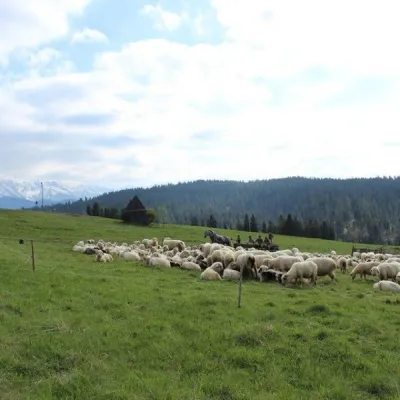 Cheese dairies & pasturesU Jancoka Shepherd's Hut, Brzegi: oscypek from Poland's first female bacaBrzegi17 km from Batizovský štítThe U Jancoka shepherd's hut (bacówka) stands beside regional road 960, which runs from Bukowina Tatrzańska to the Łysa Polana border crossing, in the village of Brzegi.
 Koliby & Hutsul cuisineBąkowo Zohylina Wyźnio Highland TavernZakopane18 km from Batizovský štítBąkowo Zohylina Wyźnio is a regional highland tavern in Zakopane housed in a wooden "szałas" (shepherd-hut-style building) with a view of the Tatras.
