Končistá
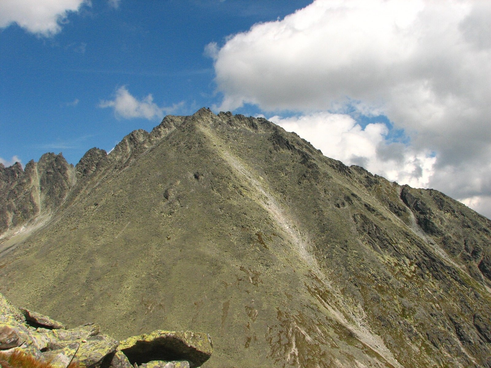
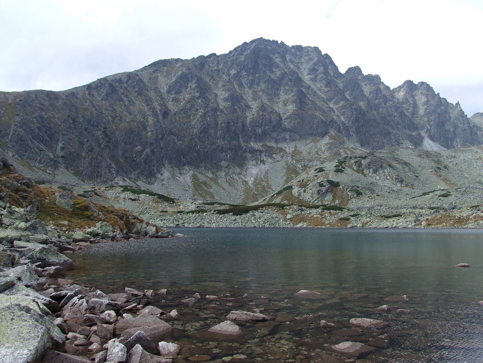
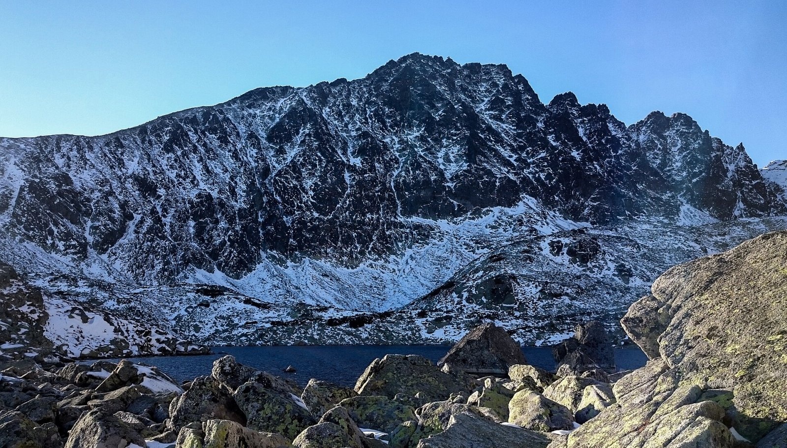
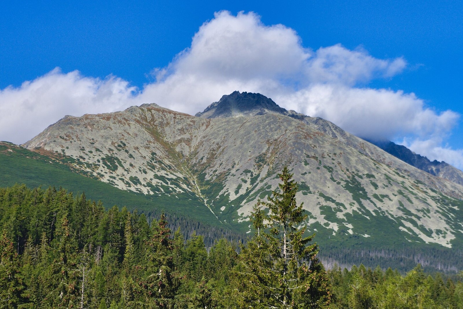
Končistá (Polish Kończysta, German Kontschista, Hungarian Koncsiszta) is a 2,537.5 m summit in the High Tatras in Slovakia. It rises above the settlement of Vyšné Hágy, about 15 km north-west of Poprad, and belongs to the town of Vysoké Tatry (Starý Smokovec cadastre) in Poprad District of the Prešov Region. It is the highest point of a long side ridge running south from Popradský Ľadový štít (2,396 m) on the main crest; south of the Pod Drúkom saddle the ridge is simply called the Končistá ridge. The eastern side drops into Batizovská dolina, the western side descends more gently into Štôlska dolina and the north-west into Zlomisková dolina.
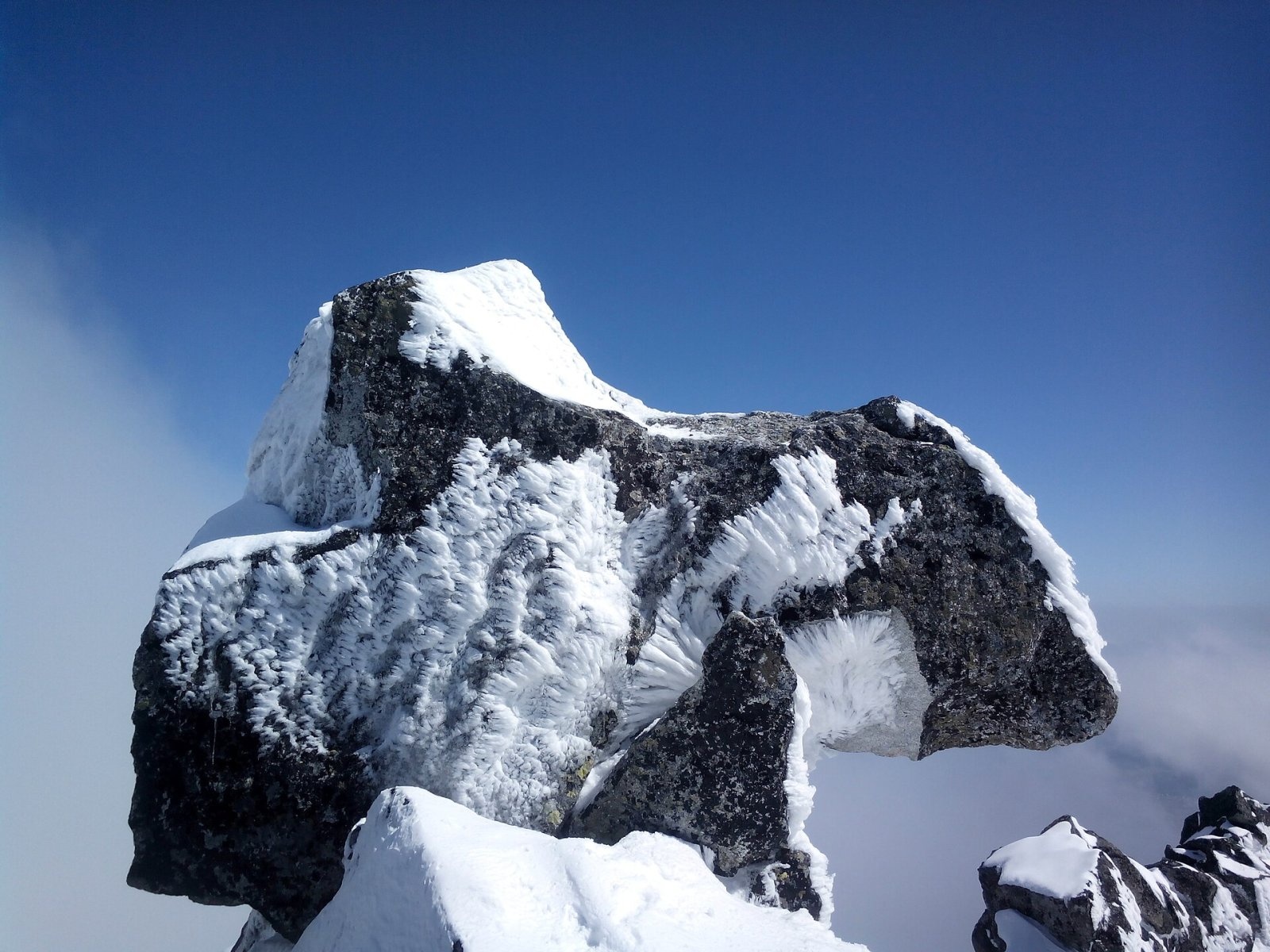
Končistá has three tops. On the highest, southern one sits a huge loose rock block, Jármay's Table (Jármayho stôl), also called the Anvil (Nákova): it used to look like a blacksmith's anvil or a horse's head. In 2019 it was struck by lightning, a large piece broke off and the characteristic shape is gone. The northern top (2,536 m) is separated from the southern one by a shallow notch, Vyšná Pastrnakova bránka.
How to get there / routes
No marked hiking trail leads to Končistá. The summit lies in the Tatra National Park (TANAP), where three national nature reserves meet – Mengusovská, Batizovská and Štôlska dolina – so a hiker without climbing qualifications may go up only with a licensed mountain guide. Among the main High Tatra summits it is considered one of the easiest: the simplest approach is from the broad, stony Lúčne sedlo (2,168 m) to the west, and guides also lead parties from the Sliezsky dom mountain hotel and from Popradské pleso, both via Batizovské pleso.
The nearest marked trail is the red Tatranská magistrála: between the saddle below Ostrva and Velická dolina it skirts the southern end of the Končistá ridge. The magistrála was built in 1930–1931; it gives a good view of the peak but does not lead to it. Sources give no official ascent time.
What you can see from the summit
The rocky summit gives an all-round view. To the west you see Ostrva (1,984 m), Tupá (2,285 m), Patria, Satan and Zlomisková veža; to the north Kôpky, Vysoká (2,547 m), Rysy (2,503 m), Gánok, Rumanov štít, Popradský Ľadový and Batizovský štít; to the east Lavínový štít, Kotlový štít and the highest Tatra summit, Gerlachovský štít (2,654 m). To the south stretch the Sub-Tatra Basin and the ranges from the Lúčanská Fatra via the Veľká Fatra, Low Tatras, Kozie chrbty and Volovské vrchy to Branisko, and to the north the mountains of Poland.
Nature and history
The name comes from the Slovak adjective končistý, “pointed”, which is how the massif looks from the south. Originally the mountain had no name of its own: people in the Tatra foothills called it, together with Batizovský štít, Hrebeň or Batizovský vrch, and the Zipser Germans Hochkamm. As early as 1717 Georg Buchholtz the Younger's Tatra panorama marked both summits together as Batisfalvensis mons. The separate name Končistá appeared in the 1860s.
The first documented ascent of the northern top was made in 1874 by Alexander Münnich and companions. The Anvil, however, long remained unclimbed: visitors got to the foot of the rock, which stands 7 m above the summit, but no higher. Viktor Lorenc, chief engineer of the Krompachy ironworks, reported a failed attempt in the Zipser Bote in 1878, and in 1891 the Smokovec spa doctor László Jármay wrote that so far only Lorenc with his guide Ruman had reached the highest point. Jármay proposed calling the rock Lorenc's Rock, but the Hungarian Carpathian Society refused, and it was named Jármay's Table instead. The first winter ascent was made by the German climber Alfred Martin on 17 February 1906.
Safety, season and rules
This is high-mountain rocky terrain with no path: rock, scree, steep slopes towards Batizovská dolina, rapid weather changes and summer thunderstorms. In TANAP the high-mountain trails are closed every year from 1 November to 31 May; off the marked trails you may move only with a mountain guide or under the park's climbing rules. Start early, carry a helmet and warm clothing. In the Slovak mountains help comes from the Mountain Rescue Service HZS: 18 300 (+421 18 300) or 112.
Interesting facts
- Končistá is one of the summits of the Great Crown of the Tatras.
- Before the First World War guides said scornfully that you could get up it “even on a dying horse” – partly because they disliked the low fee set by Spiš County, and some of them poached chamois on its slopes and did not want tourists in their hunting grounds.
- On 29–30 August 1918 Končistá was the goal of a Slovak “people's excursion”, the last before the break-up of Austria-Hungary; it was chosen instead of the usual Kriváň so as not to attract police attention, but a cloudburst turned the party back near Lúčne sedlo.
Photos: Adrian Tync, CC BY-SA 4.0; Jerzy Opioła, CC BY-SA 4.0; Jakub Krajňák, CC BY-SA 4.0; Adam Opioła, CC BY-SA 4.0; Adrian Tync, CC BY-SA 4.0 — Wikimedia Commons.
Getting there from Ukraine
Border crossings
- Uzhhorod – Vyšné Nemecké — road, 24/7
- Malyi Bereznyi – Ubľa — road, 24/7 For cars and buses; pedestrians not confirmed by the Ukrainian border service, lorries up to 3.5 t.
- Mali Selmentsi – Veľké Slemence (pedestrian) — pedestrian, 09:00–21:00 Kyiv time Pedestrians and cyclists only; inconvenient for the Tatras without onward transport.
- Chop – Čierna nad Tisou (rail) — rail, 24/7
By car
Uzhhorod – Poprad ≈195 km, ≈2 h 55 min without queues: Uzhhorod – Vyšné Nemecké checkpoint → I/19 via Sobrance and Michalovce → Košice → D1 motorway via Prešov → Poprad (Liptovský Mikuláš is ≈56 km further on the D1, total ≈249 km). Košice – Poprad ≈112 km. The D1 requires an e-vignette (eznamka.sk). Note: from Lviv the fastest way to Poprad is through Poland — Krakovets – A4 – Kraków – Zakopane – Łysa Polana ≈468 km (≈5 h 50 min); via Uzhok and Malyi Bereznyi ≈419 km but slower (≈6 h 40 min). Zakopane – Poprad ≈69 km, Zakopane – Liptovský Mikuláš ≈80 km.
Checked 23.10.2026; border crossing hours and timetables change — check before you travel.
Location on the map
Water and shelter nearby
- Spring below Zlomisková veža (south-east slope), 1 836 m1.1 km · Not verified · 1 836 m
- Spring below Zlomisková veža (south-east slope), 1 861 m1.1 km · Not verified · 1 861 m
- Batizovský potok Spring1.1 km · Not verified · 2 016 m
- Spring below Zlomisková veža (south-east slope), 1 835 m1.1 km · Not verified · 1 835 m
- Rumanov potok Spring1.3 km · Not verified · 1 934 m
- Spring below Ostrva (north slope)1.8 km · Not verified · 1 634 m
- Spring below Suchý vrch (south-west slope), 1 639 m1.9 km · Not verified · 1 639 m
- Spring below Suchý vrch (south-west slope), 1 664 m1.9 km · Not verified · 1 664 m
- Spring below Ostrva (north-west slope)2.1 km · Not verified · 1 559 m
- Spring below Zadná Ostrva (north slope), 1 514 m2.2 km · Not verified · 1 514 m
- Spring below Zadná Ostrva (north slope), 1 509 m2.3 km · Not verified · 1 509 m
- Spring below Zadná Ostrva (north slope), 1 506 m2.3 km · Not verified · 1 506 m
- Popradské Pleso Mountain Hotel2.5 km · Standing · 1 494 m
- Majláth Hut2.6 km · Standing · 1 500 m
- Hut under Rysy2.8 km · Standing · 2 250 m
Comments
Trails nearby
All trails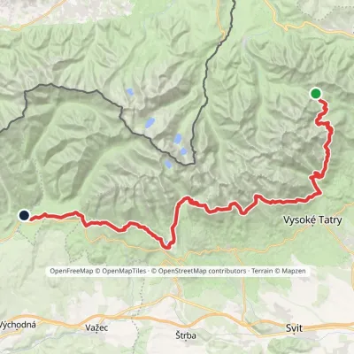 HardMulti-dayMarkedTatranská magistrála (Tatra Highway): Podbanské Veľké Biele plesoElevation profile929–2 043 m50.1 kmascent 1 639 m1.1 km from Končistá
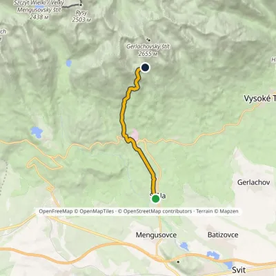 ModerateOne-dayMarkedŠtôla Batizovské TarnElevation profile852–1 901 m8.6 kmascent 1 049 m≈ 4 h walking1.2 km from Končistá
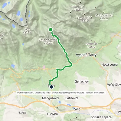 HardOne-dayMarkedNižné Hágy Junction below Poľský hrebeňElevation profile849–2 195 m14.6 kmascent 95 m≈ 4 h walking2.4 km from Končistá
Nearby attractions
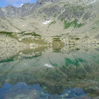 PeakBatizovský štítVyšné Hágyaltitude 2 448 m1.2 km from KončistáBatizovský štít (Polish Batyżowiecki Szczyt, German Botzdorfer Spitze, Hungarian Batizfalvi-csúcs) is a massive twin-topped summit 2448 m high on the main ridge of the...
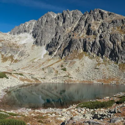 LakeBatizovské plesoVyšné Hágy1.3 km from KončistáBatizovské pleso is a high-mountain lake in the Batizovská valley at 1,884 m, right below the walls of Gerlachovský štít (2,655 m) — the highest peak of the Tatras and...
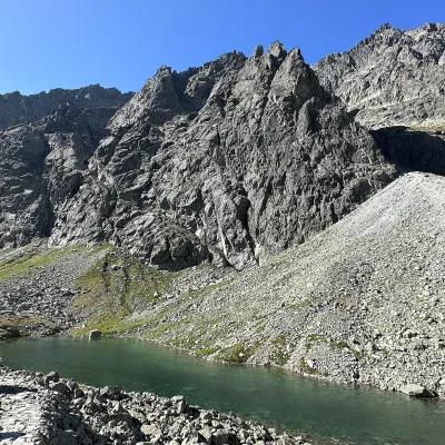 LakeDlhé pleso (Velická dolina)Nová Polianka2.4 km from KončistáDlhé pleso (the Long Tarn) in Velická dolina is a small elongated lake in the High Tatras, within Tatra National Park (TANAP).
Craft nearby
All craft places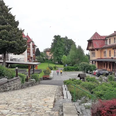 Water parks & thermal poolsClimatic spas of the High Tatras: Nový Smokovec, Polianka, KotlinaVysoké Tatry7.8 km from KončistáNový Smokovec is the best known of the climatic spas of the High Tatras. It grew up in a spruce forest at about 1010 m, south-west of Starý Smokovec, with which it...
 Cheese dairies & pasturesShepherd's Hut on Rusinowa PolanaBrzegi12 km from KončistáRusinowa Polana is one of the most beautiful mountain glades in the Polish Tatras, and from May to October it is home to the bacówka (shepherd's hut) of baca Stanisław...
 Horse ridingKone vo Východnej: horse rides below the TatrasVýchodná16 km from KončistáKone vo Východnej (“Horses in Východná”) is a small family horse farm on the meadows above the village of Východná in upper Liptov, with a sweeping view of the High...
 Cheese dairies & pasturesFurtek's Shepherd's Huts, Kuźnice and KalatówkiZakopane16 km from KončistáAbove Kuźnice — the southern edge of Zakopane where most hikes into the Western and High Tatras begin — the flocks are tended by baca Andrzej Staszel, nicknamed "Furtek".
 Water parks & thermal poolsAquaCity Poprad water parkPoprad18 km from KončistáAquaCity Poprad is a large year-round water park and wellness complex in the town of Poprad, a few minutes from the centre; according to the complex, the High Tatras...
 Craft beer & breweriesMinipivovar TATRAS, PopradPoprad18 km from KončistáMinipivovar TATRAS is a brewpub on Poprad’s main square, Námestie sv. Egídia, housed in a building with a long brewing history.
