Levoča District
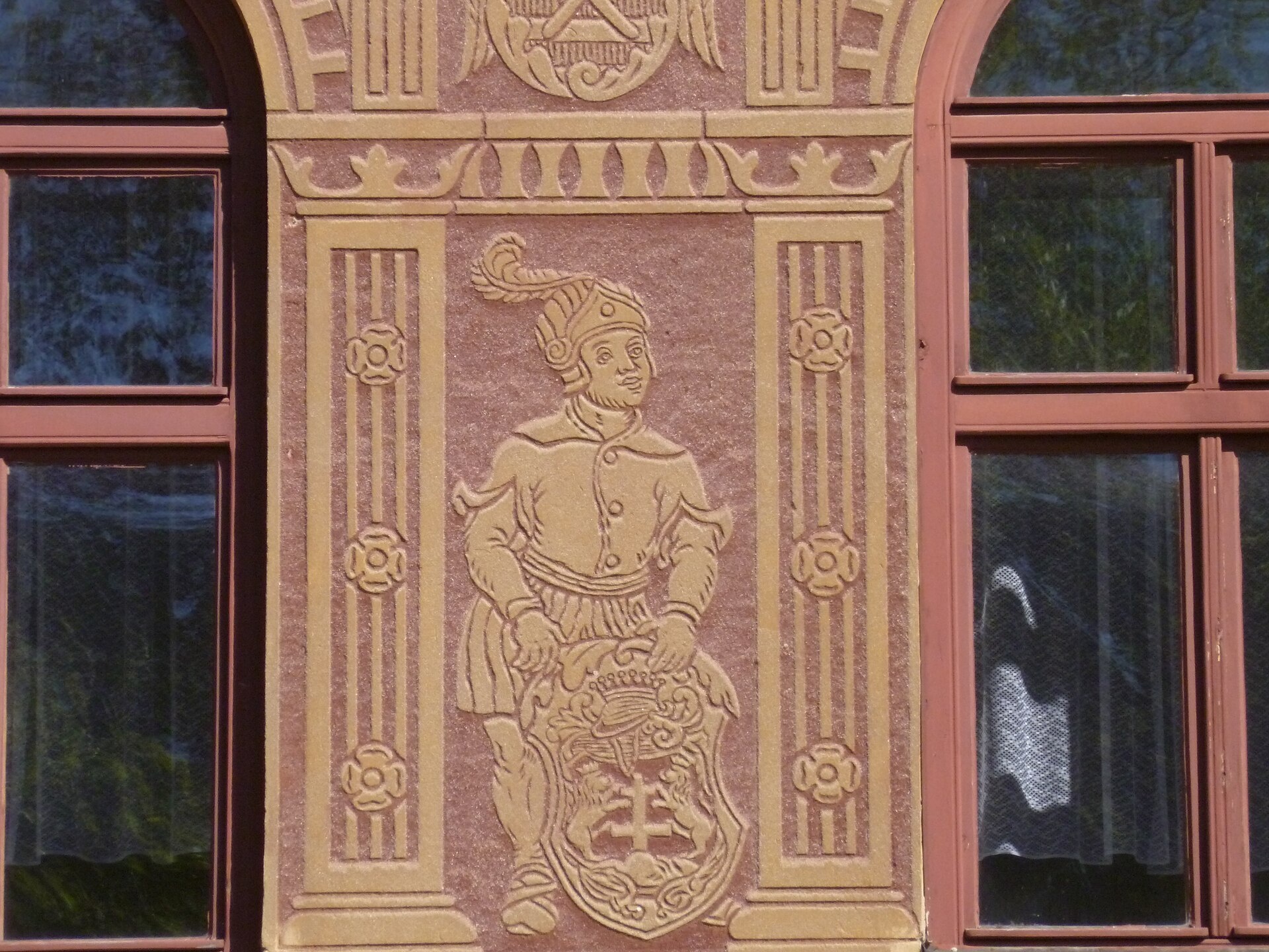
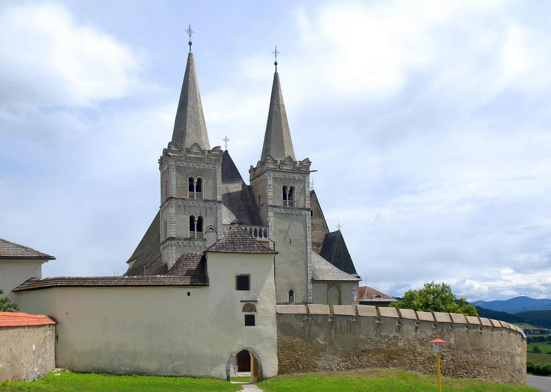
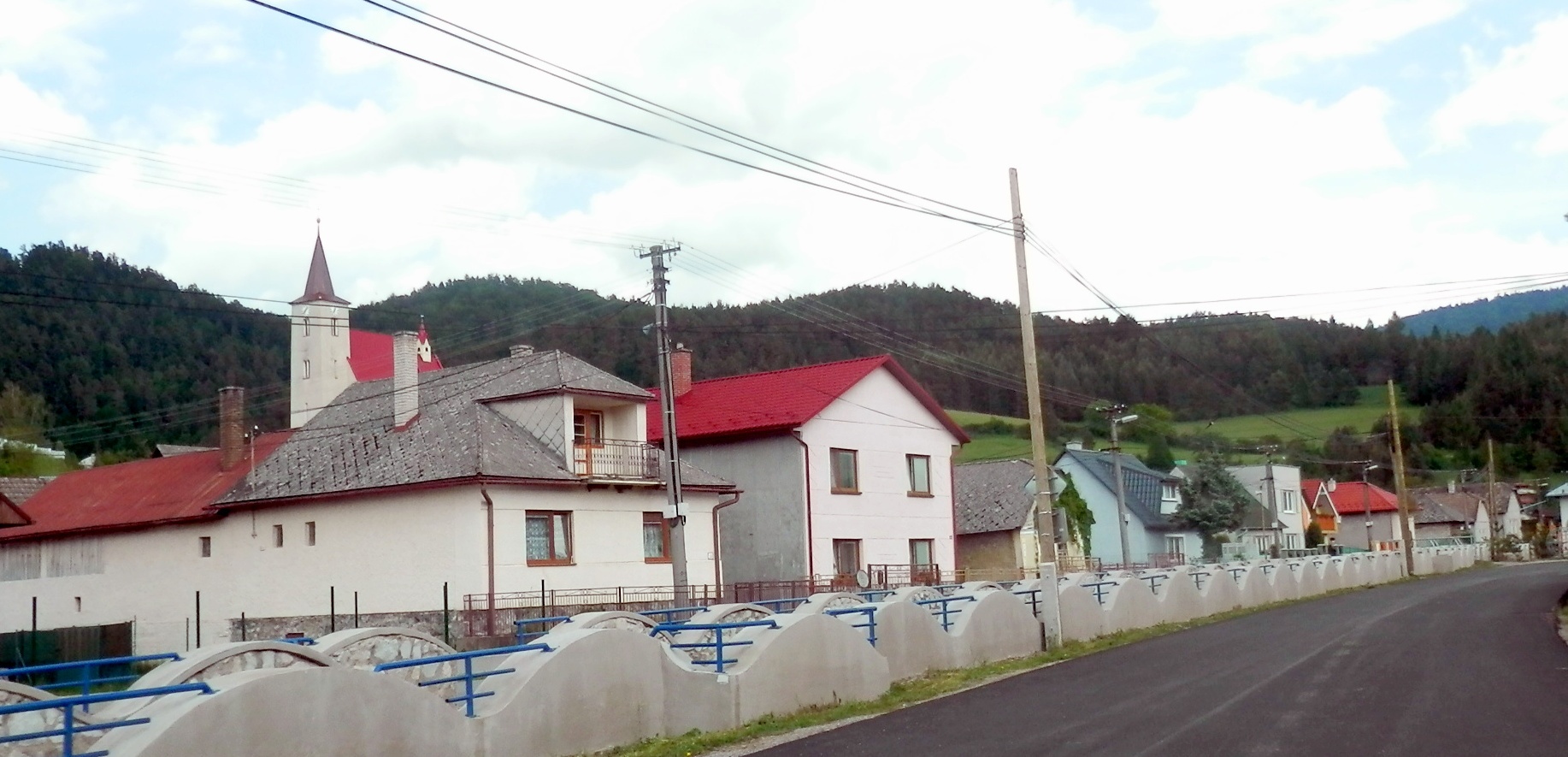
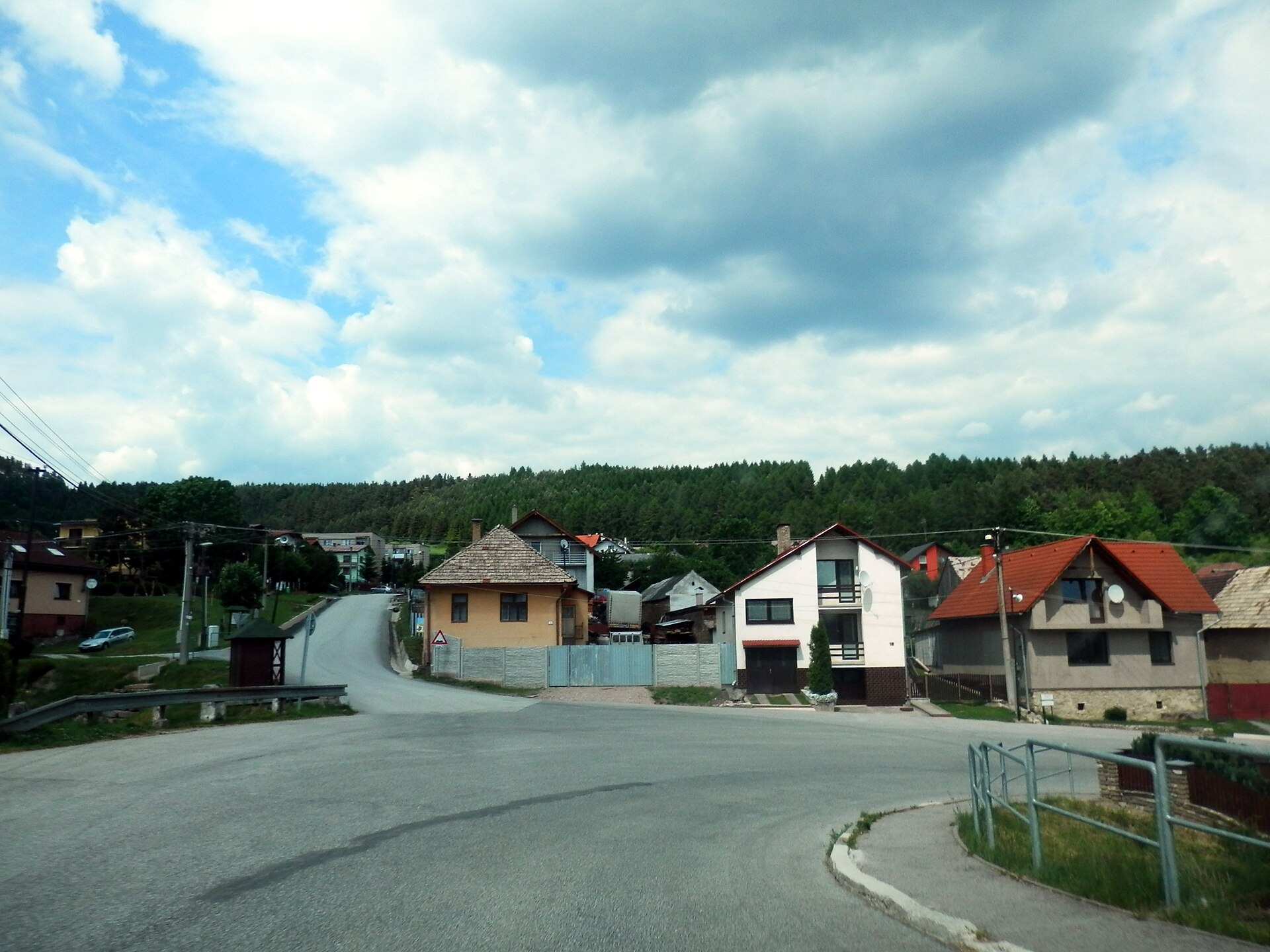
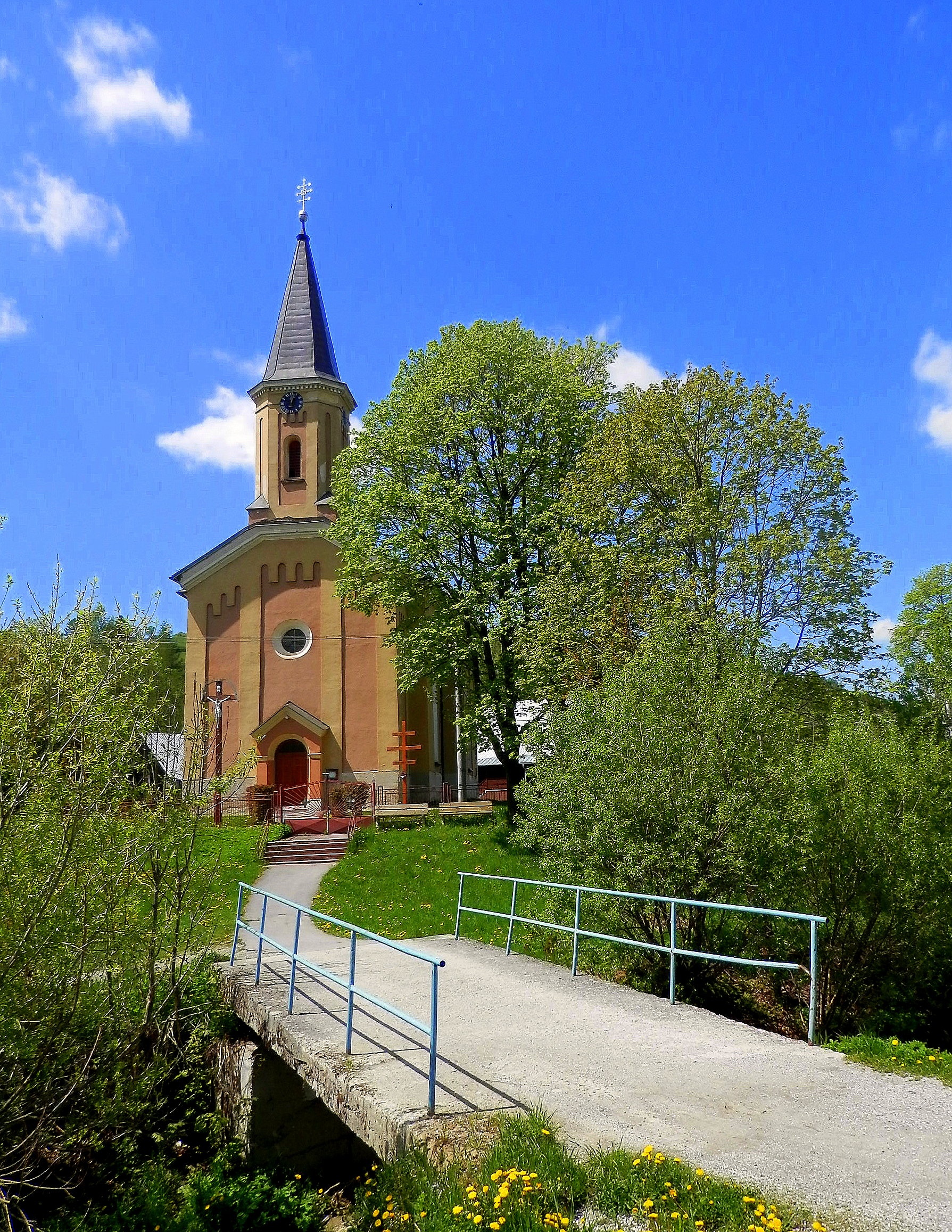
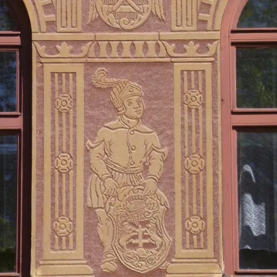
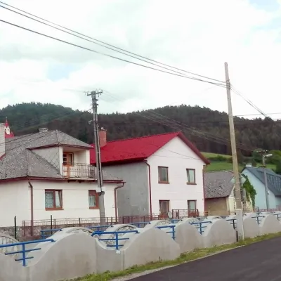
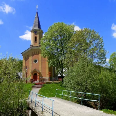
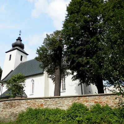
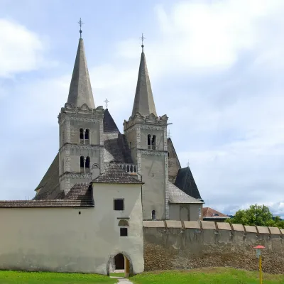
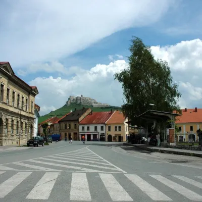
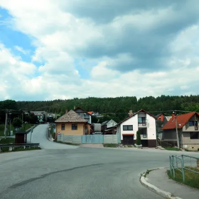
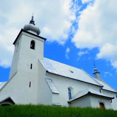
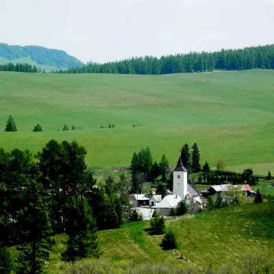
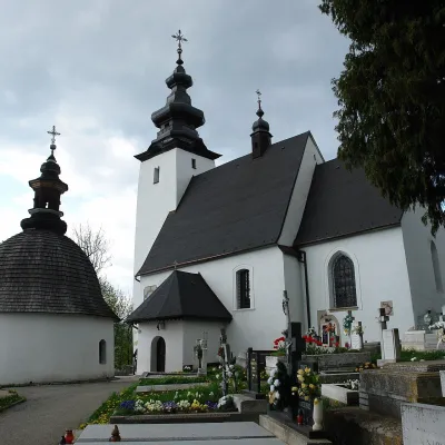
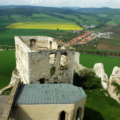
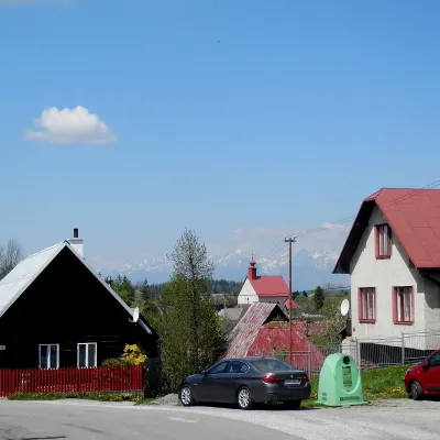
Photos: Levoča (JoJan, CC BY 3.0); Spišská Kapitula (Henryk Bielamowicz, CC BY-SA 4.0); Vyšný Slavkov (Ing.Mgr.Jozef Kotulič, CC BY-SA 4.0); Dravce (Ing.Mgr.Jozef Kotulič, CC BY-SA 4.0); Torysky (Ing.Mgr.Jozef Kotulič, CC BY-SA 4.0)
Levoča District is an administrative district in the Prešov Region of eastern Slovakia, with its centre in the town of Levoča. The district is part of the historical Spiš region and, until 1918, belonged to Spiš County in the Kingdom of Hungary. There are 33 municipalities in the district, including two towns: Levoča and Spišské Podhradie.
The landscape of the district is shaped by the Levoča Uplands and Levoča Highlands, featuring rolling hills and picturesque villages that preserve local traditions. The area is also known for its historical heritage and the presence of a Rusyn-Ukrainian community, mainly Greek Catholic or Orthodox by faith.
On karpaty.rocks, you can discover the district's highlights: in Levoča — the Basilica of St. James, the Spiš Museum, the historic town hall, and the Minorite Monastery; in Spišská Kapitula — the Cathedral of St. Martin. Notable hiking trails include Spišské Podhradie Square – Oľšavica, Vyšný Slavkov – Lipovce, Levoča – Levoča Valley, as well as the Smrekovica (Branisko) peak. The Spiš sheepfold near Spiš Castle is known for its bryndza dumplings.
Getting there from Ukraine
From Uzhhorod ≈182 km, ≈2 h 45 min without queues: Uzhhorod – Vyšné Nemecké → I/19 via Sobrance and Michalovce to Košice → D1 motorway via Prešov to the exit near Levoča → road 533 to Spišská Nová Ves (≈177 km, ≈2 h 30 min from the border). From Lviv via Uzhok and Ubľa ≈407 km, ≈6 h 40 min; through Poland (Kraków – Nowy Targ) ≈496 km, ≈6 h 20 min. The D1 requires an e-vignette (eznamka.sk).
Sources: Wikipedia, Wikidata, OpenStreetMap, Karpaty.rocks data.
Towns and villages
Getting there from Ukraine
Border crossings
- Uzhhorod – Vyšné Nemecké — road, 24/7
- Malyi Bereznyi – Ubľa — road, 24/7 For cars and buses; pedestrians not confirmed by the Ukrainian border service, lorries up to 3.5 t.
- Mali Selmentsi – Veľké Slemence (pedestrian) — pedestrian, 09:00–21:00 Kyiv time Pedestrians and cyclists only; inconvenient for the Tatras without onward transport.
- Chop – Čierna nad Tisou (rail) — rail, 24/7
By car
From Uzhhorod ≈182 km, ≈2 h 45 min without queues: Uzhhorod – Vyšné Nemecké → I/19 via Sobrance and Michalovce to Košice → D1 motorway via Prešov to the exit near Levoča → road 533 to Spišská Nová Ves (≈177 km, ≈2 h 30 min from the border). From Lviv via Uzhok and Ubľa ≈407 km, ≈6 h 40 min; through Poland (Kraków – Nowy Targ) ≈496 km, ≈6 h 20 min. The D1 requires an e-vignette (eznamka.sk).
Checked 23.10.2026; border crossing hours and timetables change — check before you travel.
