Vyšný Slavkov
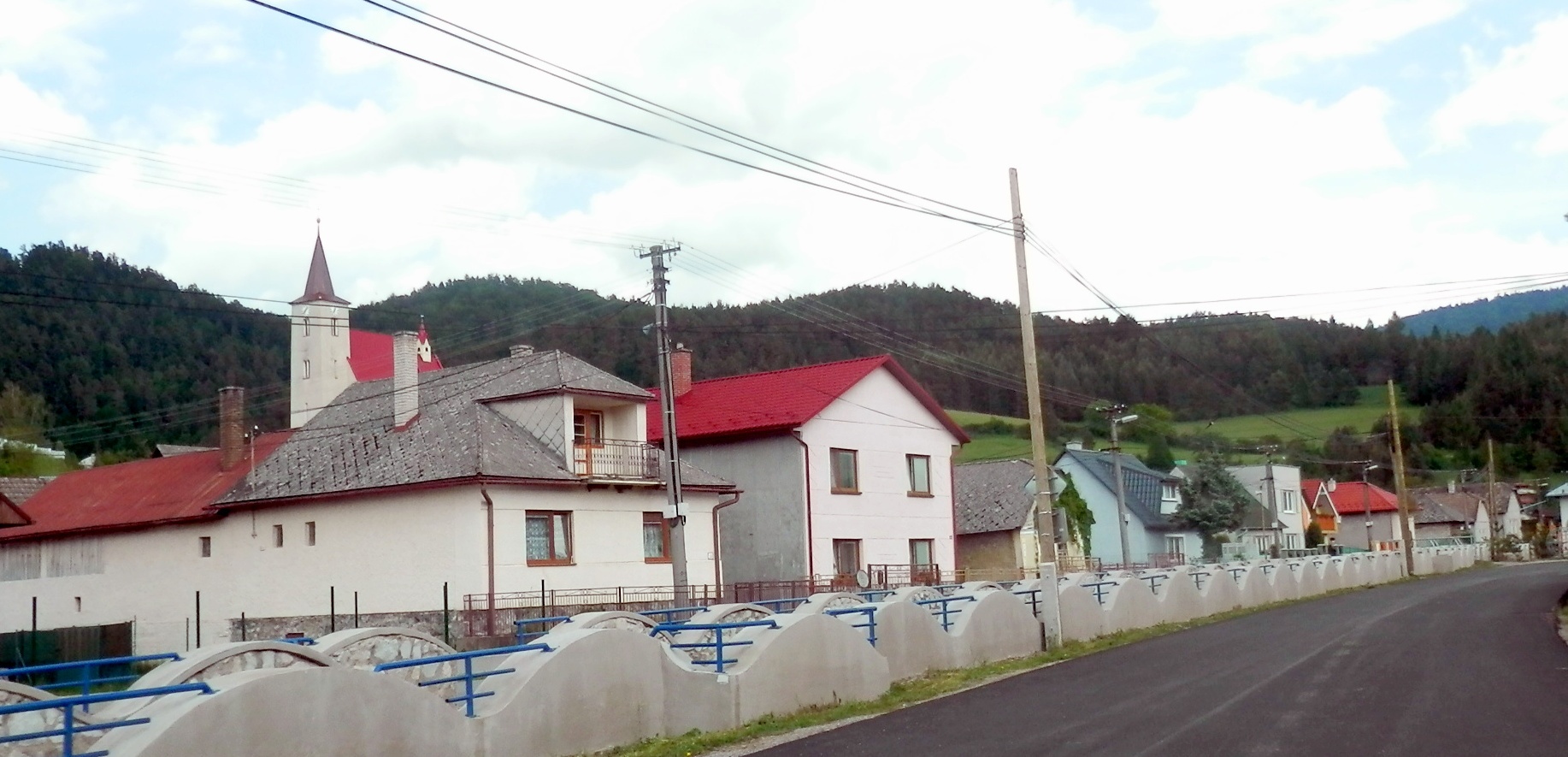
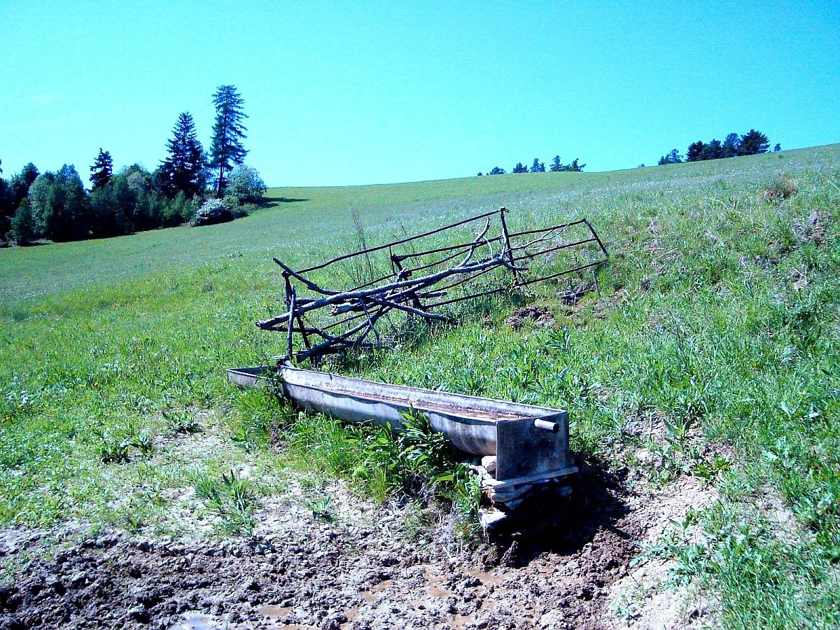
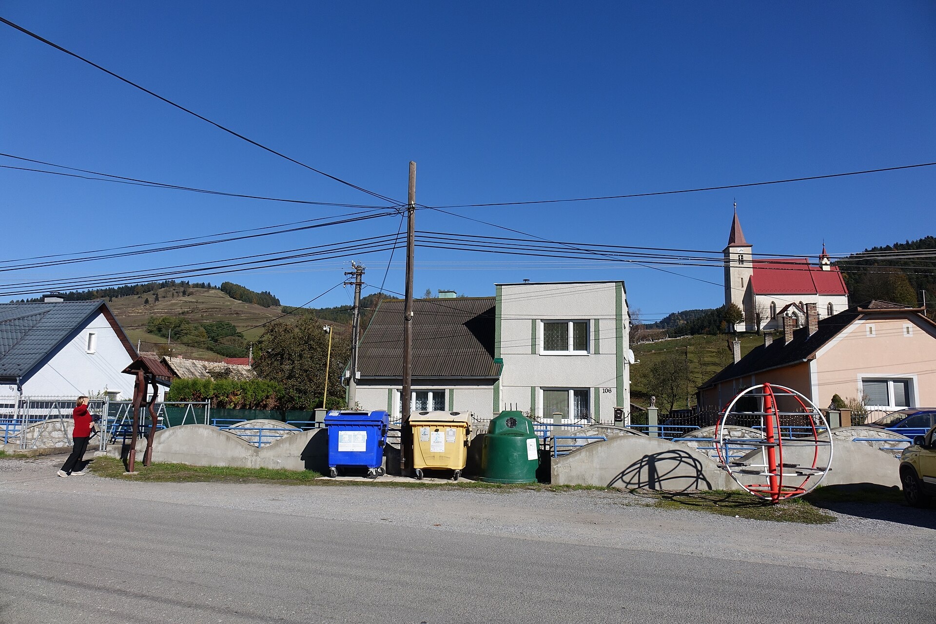
Photos: Ing.Mgr.Jozef Kotulič, CC BY-SA 4.0 (Wikimedia Commons); Dusan Bajus, CC BY 3.0 (Wikimedia Commons); Jozef Kotulič, CC BY 4.0 (Wikimedia Commons)
Vyšný Slavkov is a village in the Levoča District of the Prešov Region, Slovakia, situated in the north of eastern Slovakia. The settlement lies in the valley of the Slavkovský stream, on the border of the Levoča Mountains and the Branisko range, near the Slovak Paradise area. It is located at an elevation of 561 metres above sea level.
The village was first mentioned in historical records in 1347. Vyšný Slavkov features a Roman Catholic church built in 1884 and a manor house from the late 18th century in Baroque style.
Vyšný Slavkov is known for its scenic natural surroundings, proximity to Slovak Paradise, and historical landmarks. The Slavkovský stream flows through the village. The population is predominantly Slovak and mainly Roman Catholic. The village is also the birthplace of Gustáv Popovič, a construction worker immortalized in the famous photograph "Lunch atop a Skyscraper" in New York.
Visitors can explore hiking trails such as "Vyšný Slavkov – Lipovce, škola", "Vyšný Slavkov – Boldigaň", "Vyšný Slavkov, quarry – Pod Kravcovou", and "Vyšný Slavkov – Roveň". Mountain enthusiasts can ascend the Smrekovica (Branisko) peak. Notable nearby sights include Spišská Kapitula with St. Martin's Cathedral and Spiš Castle. Local tradition includes tasting bryndza dumplings at the Spišský salaš below Spiš Castle, prepared here since 1964.
Getting there from Ukraine
From Uzhhorod ≈182 km, ≈2 h 45 min without queues: Uzhhorod – Vyšné Nemecké → I/19 via Sobrance and Michalovce to Košice → D1 motorway via Prešov to the exit near Levoča → road 533 to Spišská Nová Ves (≈177 km, ≈2 h 30 min from the border). From Lviv via Uzhok and Ubľa ≈407 km, ≈6 h 40 min; through Poland (Kraków – Nowy Targ) ≈496 km, ≈6 h 20 min. The D1 requires an e-vignette (eznamka.sk).
Sources: Wikipedia, Wikidata, OpenStreetMap, Karpaty.rocks data. More on Wikipedia
Trails nearby
All trails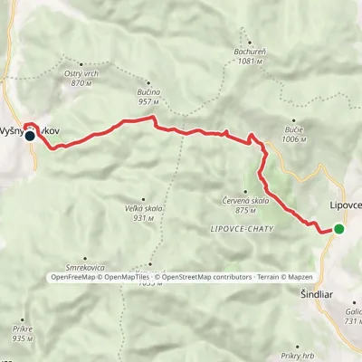 EasyOne-dayMarkedVyšný Slavkov Lipovce, SchoolElevation profile536–861 m10.3 kmascent 333 m≈ 3 h walkingunder 1 km from the centre
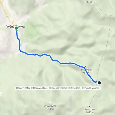 EasyOne-dayMarkedVyšný Slavkov BoldigáňElevation profile565–945 m4.5 kmascent 384 m≈ 2 h walkingunder 1 km from the centre
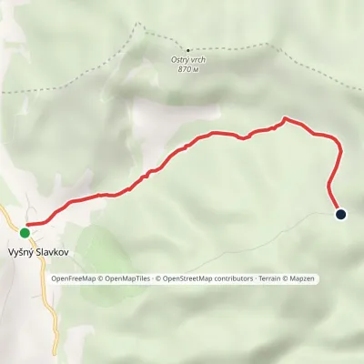 EasyOne-dayMarkedVyšný Slavkov RoveňElevation profile560–836 m3.5 kmascent 277 m≈ 1.5 h walkingunder 1 km from the centre
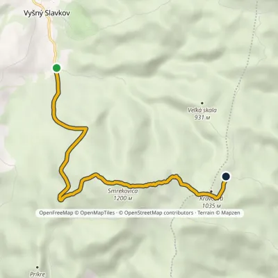 EasyOne-dayMarkedVyšný Slavkov, quarry Pod KravcovouElevation profile589–1 200 m6.5 kmascent 611 m≈ 3 h walkingunder 1 km from the centre
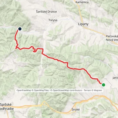 HardMulti-dayMarkedTichý Potok HermanovceElevation profile462–1 024 m29.5 kmascent 1 132 m≈ 9.5 h walking2.9 km from the centre
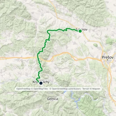 HardMulti-dayMarkedSabinov Krompachyvia Branisko PassElevation profile321–1 129 m48.9 kmascent 1 967 m3.4 km from the centre
Peaks nearby
All peaks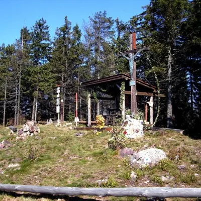 PeakSmrekovica (Branisko)Vyšný Slavkovaltitude 1 200 m3.1 km from the centreSmrekovica is the highest peak of the Branisko Mountains in eastern Slovakia, 1200 m high (1199.9 m to be exact).
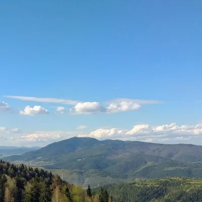 PeakSľubicaSlatvinaaltitude 1 129 m11 km from the centreSľubica is a 1129 m summit in the Branisko mountains of eastern Slovakia, the third highest of the range and the highest in its southern part, which bears the same name.
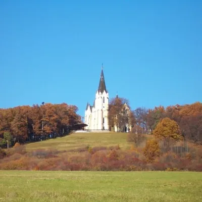 PeakMariánska hora (Marian Hill)Levočaaltitude 761 m19 km from the centreMariánska hora (Marian Hill; Hungarian Máriahegy) is a hill on the southern edge of the Levoča Hills, about 2 km north of the centre of the town of Levoča in eastern...
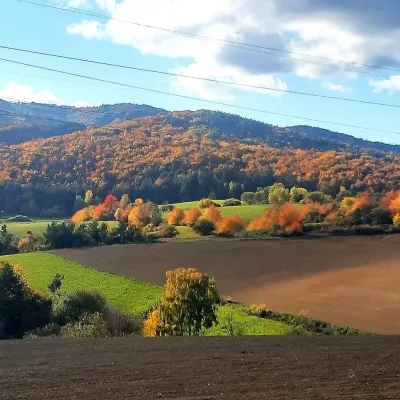 PeakRoháčkaMargecanyaltitude 1 028 m20 km from the centreRoháčka is the highest summit of the Čierna hora hills, one of the units of the Slovak Ore Mountains in eastern Slovakia.
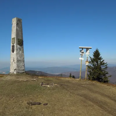 PeakMinčol (Čergov)Kyjovaltitude 1 157 m21 km from the centreMinčol (Hungarian Mincsol) is the highest summit of the Čergov mountains in eastern Slovakia, 1157 m high.
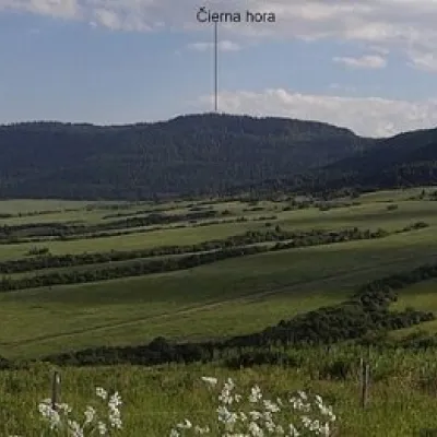 PeakČierna hora (Levoča Mountains)Jakubanyaltitude 1 289 m22 km from the centreČierna hora is a 1289.4 m summit, the highest point of the Slovak Levoča Mountains (Levočské vrchy) – a flysch range of the Podhôľno-magurská region in eastern...
What to visit
All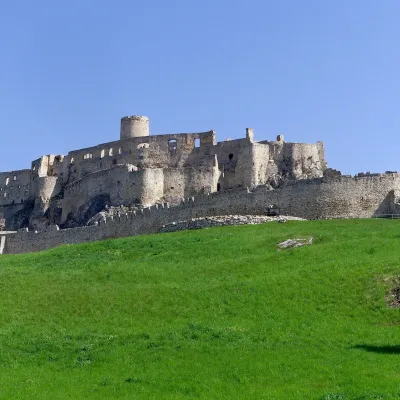 CastleSpiš CastleŽehra10 km from the centreA castle visible for dozens of kilometres Spiš Castle (Spišský hrad) is the ruin of a vast castle on top of a 634 m travertine rock that rises 200 m above the Spiš basin.
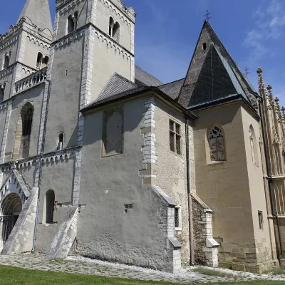 ChurchSpišská Kapitula and St Martin’s CathedralSpišská Kapitula11 km from the centreSpišská Kapitula is an ancient church town on St Martin’s Hill, directly opposite Spiš Castle. It is often called the ‘Slovak Vatican’.
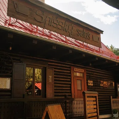 Koliby & Hutsul cuisineSpišský salaš below Spiš Castle: Spiš cooking since 1964Spišská Kapitula11 km from the centreBetween Spiš Castle and Spišská Kapitula, at the edge of the plain below the travertine mound of Sivá brada, stands the wooden Spišský salaš.
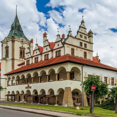 MuseumSpiš Museum in Levoča: Historic Town Hall and Minorite MonasteryLevoča20 km from the centreThe Spiš Museum (SNM – Spišské múzeum) is a branch of the Slovak National Museum that cares for the heritage of historic Spiš.
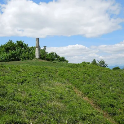 Mountain meadowThe meadow of Čergov's Minčol, the highest peak of the Čergov mountainsKyjovaltitude 1 157 m21 km from the centreČergov's Minčol (Minčol, 1,157 m) is the highest summit of the Čergov mountains in eastern Slovakia, where the districts of Bardejov, Sabinov and Stará Ľubovňa of the...
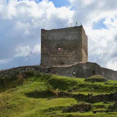 CastleŠariš Castle near PrešovVeľký Šariš24 km from the centreŠariš Castle (Šarišský hrad) is one of the largest medieval fortresses in Slovakia: its built-up area exceeds 2.7 ha.
Craft nearby
All craft places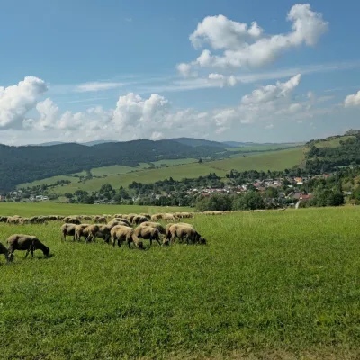 Cheese dairies & pasturesFarma Kamenica — Family Sheep Farm and Cheese Dairy in ŠarišKamenica16 km from the centreKamenica is a village in northern Šariš, in the valley of the Kameničanka stream, at about 483 m above sea level.
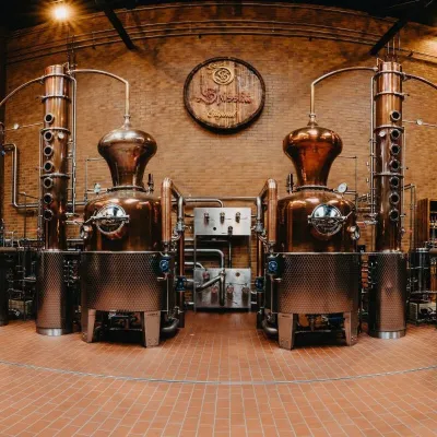 Craft producersSpišská Pálenica, Stará Ľubovňa: distillery tour and Spiš borovičkaStará Ľubovňa28 km from the centreSpiš boasts perhaps the oldest history of distilling in Europe: at the hillfort of Myšia Hôrka near Spišský Štvrtok, part of a distillation vessel from around 1500 BC...
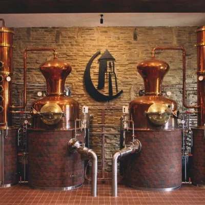 Craft producersCastle Distillery below Ľubovňa Castle: fruit spirits and tastingsStará Ľubovňa29 km from the centreStará Ľubovňa is a town in northern Spiš, overlooked by Ľubovňa Castle. For more than three and a half centuries Ľubovňa was one of the Spiš towns pledged to the...
Huts, shelters and springs nearby
Getting there from Ukraine
Border crossings
- Uzhhorod – Vyšné Nemecké — road, 24/7
- Malyi Bereznyi – Ubľa — road, 24/7 For cars and buses; pedestrians not confirmed by the Ukrainian border service, lorries up to 3.5 t.
- Mali Selmentsi – Veľké Slemence (pedestrian) — pedestrian, 09:00–21:00 Kyiv time Pedestrians and cyclists only; inconvenient for the Tatras without onward transport.
- Chop – Čierna nad Tisou (rail) — rail, 24/7
By car
From Uzhhorod ≈182 km, ≈2 h 45 min without queues: Uzhhorod – Vyšné Nemecké → I/19 via Sobrance and Michalovce to Košice → D1 motorway via Prešov to the exit near Levoča → road 533 to Spišská Nová Ves (≈177 km, ≈2 h 30 min from the border). From Lviv via Uzhok and Ubľa ≈407 km, ≈6 h 40 min; through Poland (Kraków – Nowy Targ) ≈496 km, ≈6 h 20 min. The D1 requires an e-vignette (eznamka.sk).
Checked 23.10.2026; border crossing hours and timetables change — check before you travel.
