Sľubica
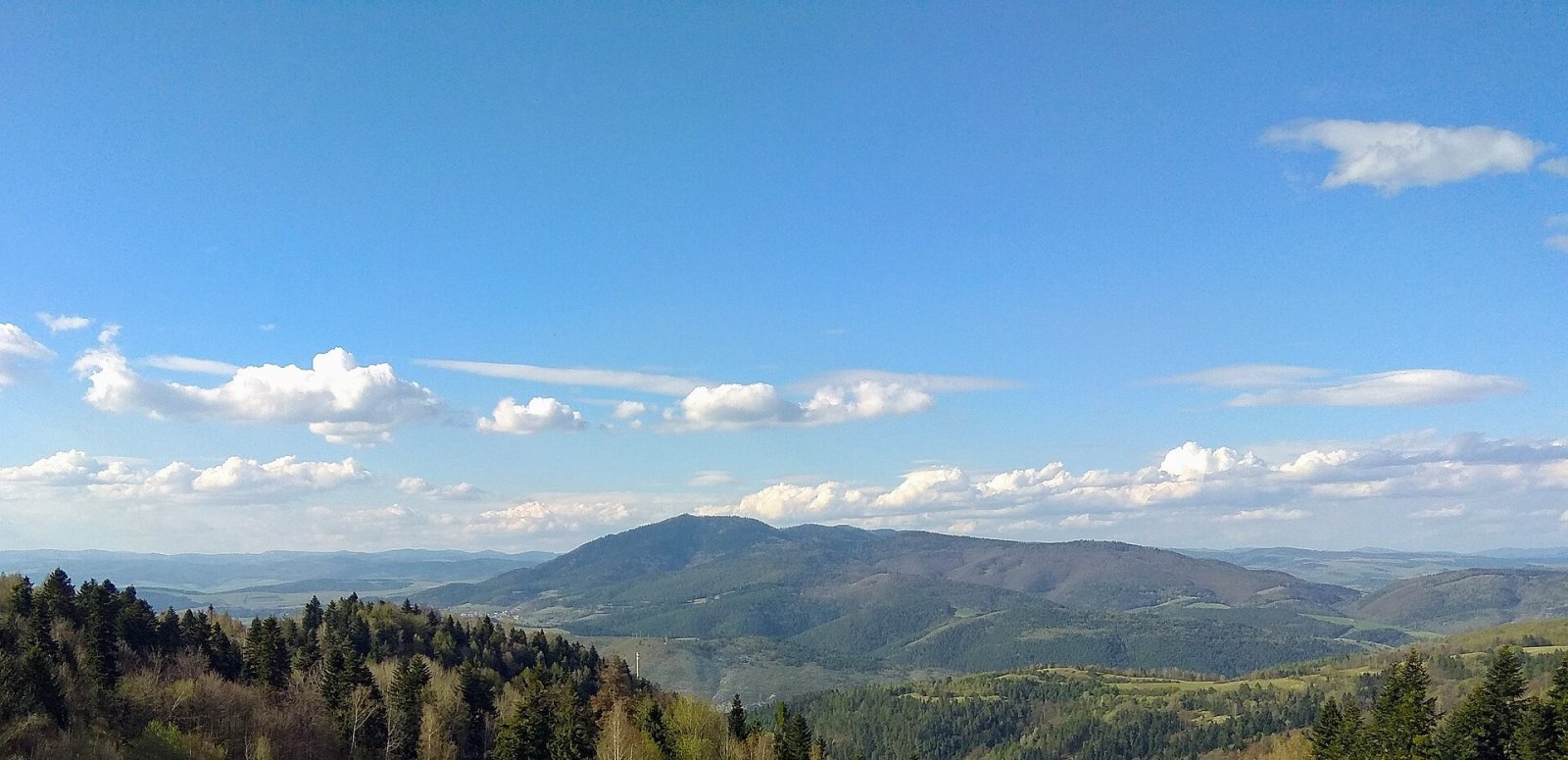
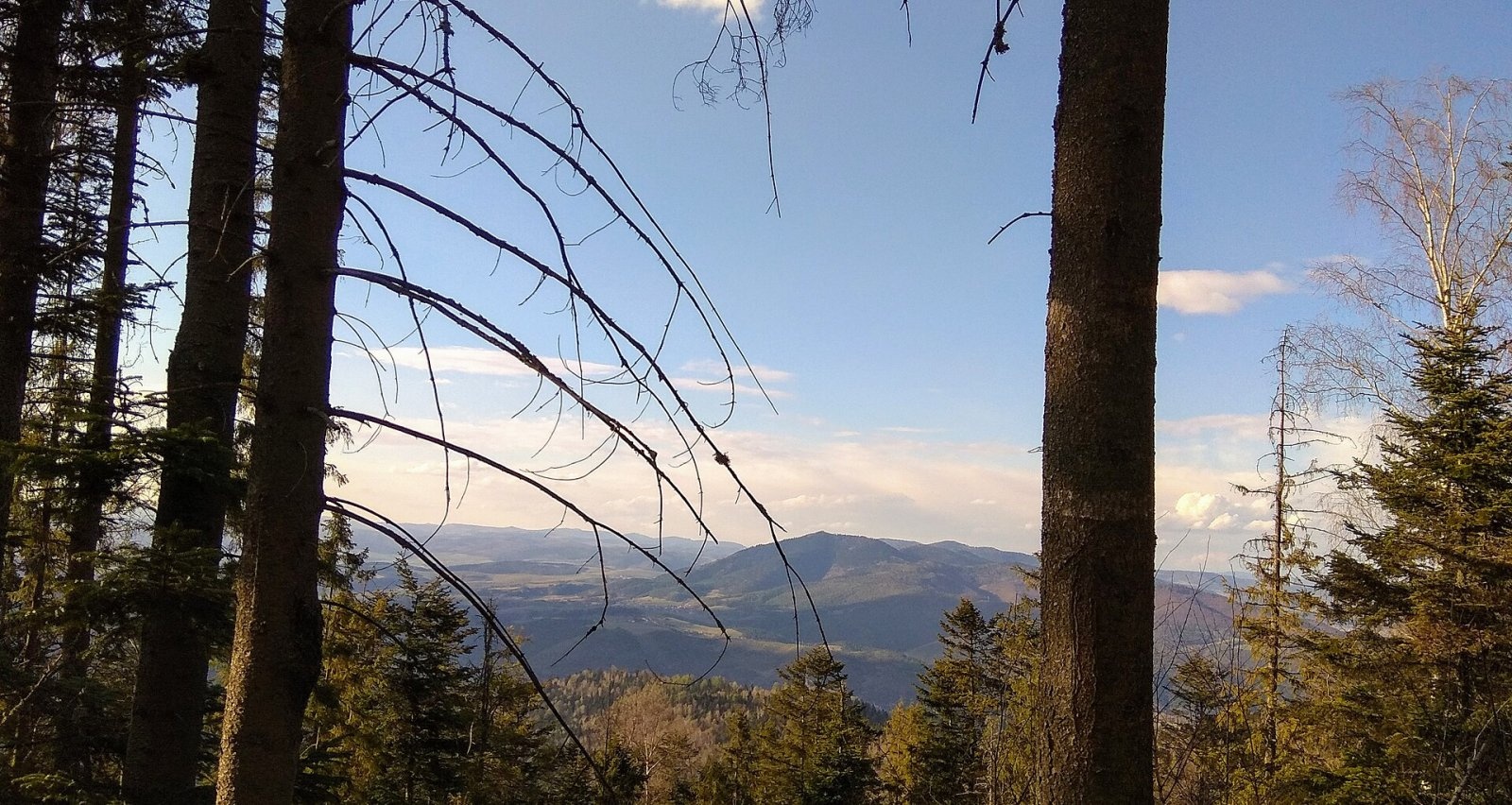
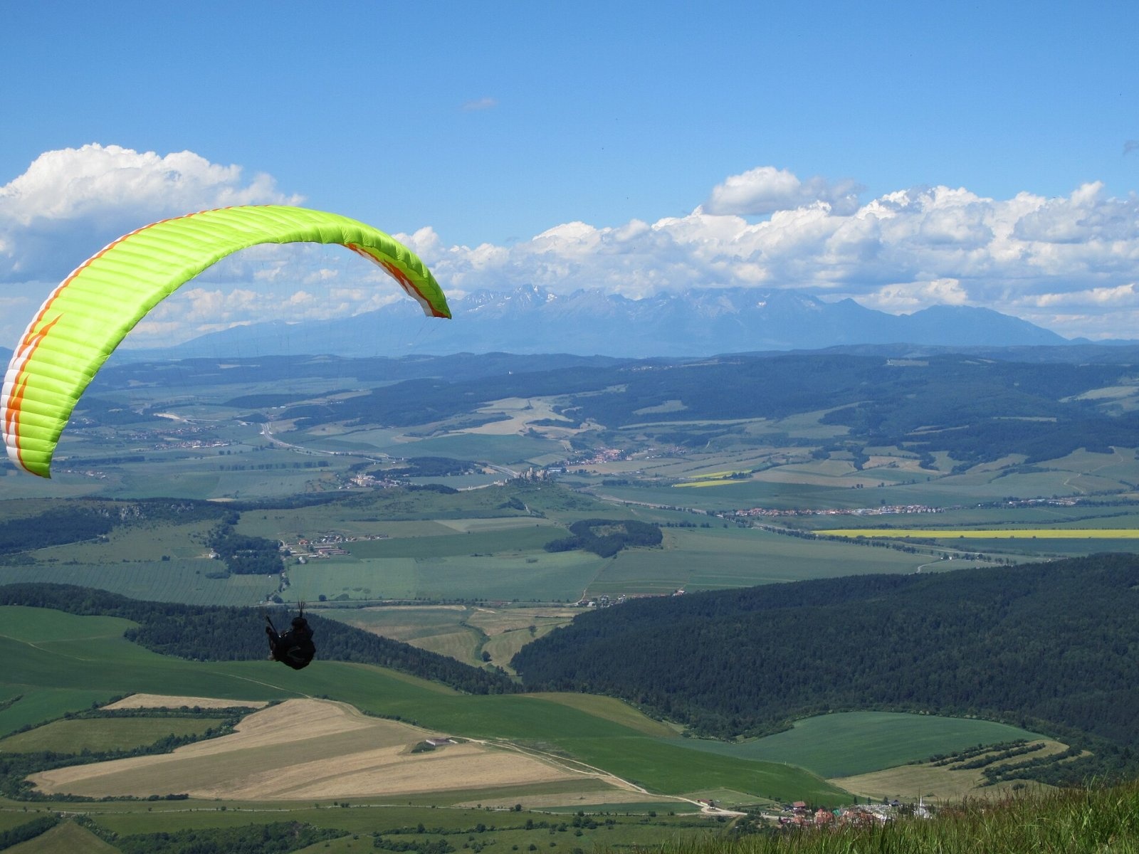
Sľubica is a 1129 m summit in the Branisko mountains of eastern Slovakia, the third highest of the range and the highest in its southern part, which bears the same name. It is separated from the higher northern part by the Branisko pass. The mountain rises above the villages of Dúbrava, Slatvina and Vojkovce, about 9 km east of Spišské Podhradie. The boundary of the Prešov and Košice regions, and of Levoča and Spišská Nová Ves districts, runs over the summit.
Sľubica lies on the main ridge running south from the Branisko saddle via Suchý hrb (1045 m) to Zadný Moravec (959 m). To the north are Suchý hrb, Rajtopíky (1036 m) and Brezová (1042 m), to the east Zadný Moravec, to the south Predný Moravec (895 m) and Pahor (672 m), and to the west, across the Hornád basin, Turnisko, Kozia hora, Dreveník and the Spiš castle hill with Spiš Castle. The massif belongs to the Hornád river basin.
How to get there / routes
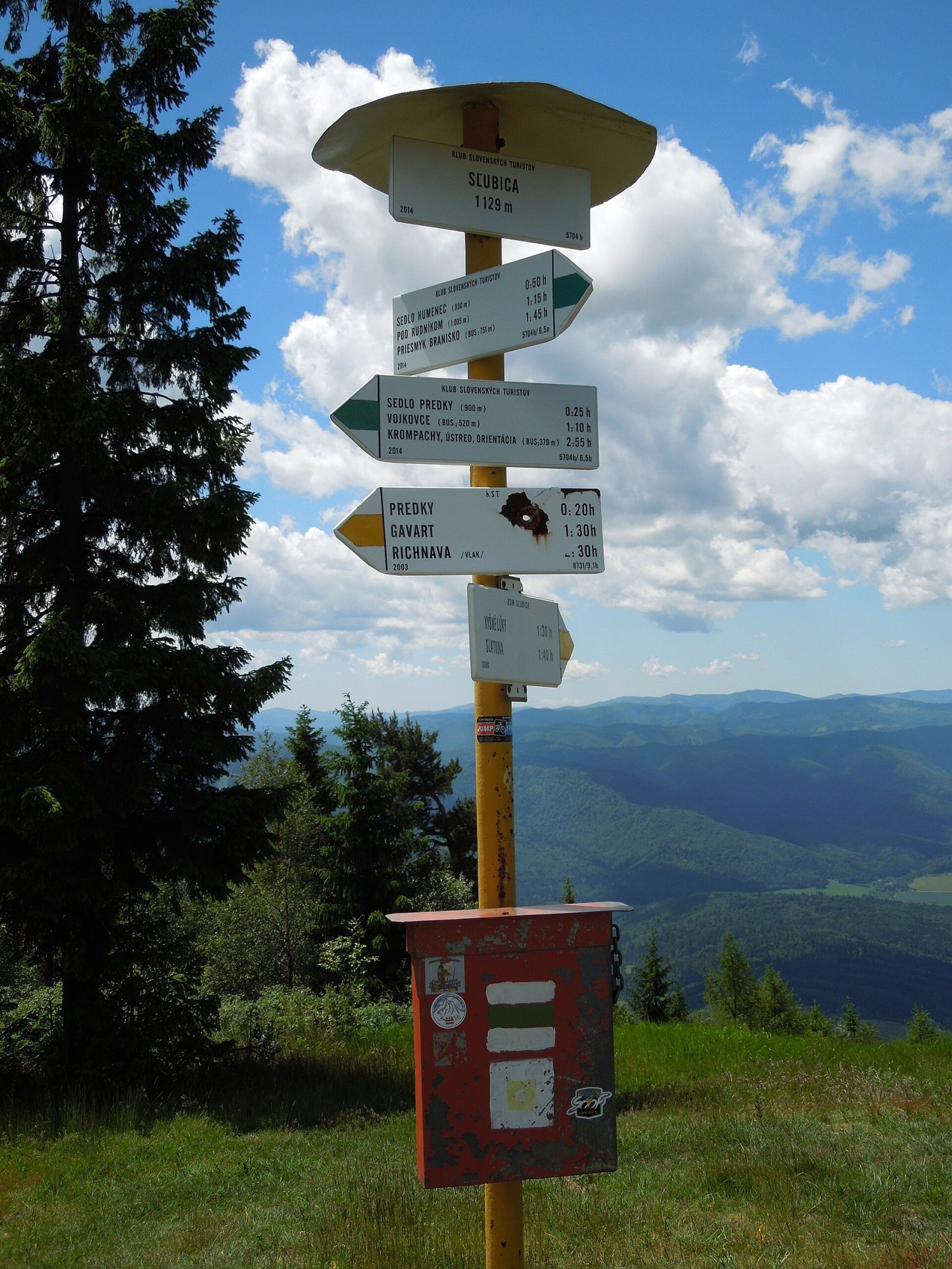
- The easiest way – from Vojkovce: green trail via the Predky saddle (890 m) – about 1 h 45 min up, 1 h 20 min down, roughly 620 m of height difference.
- Blue trail from Dúbrava via the Humenec saddle (910 m), then green – about 2 h 15 min up, 514 m.
- Green trail from the Branisko pass (750 m) via Rudník and Rajtopíky – about 2 h 30 min up, 378 m of ascent.
- Yellow trail from Richnava via the Predky saddle – about 2 h 50 min, 759 m; a yellow trail also climbs to the summit from Slatvina.
- Green trail from Krompachy via Kolinovce, Kaľava, Vojkovce and the Predky saddle – about 4 h up, 750 m.
What you can see from the top
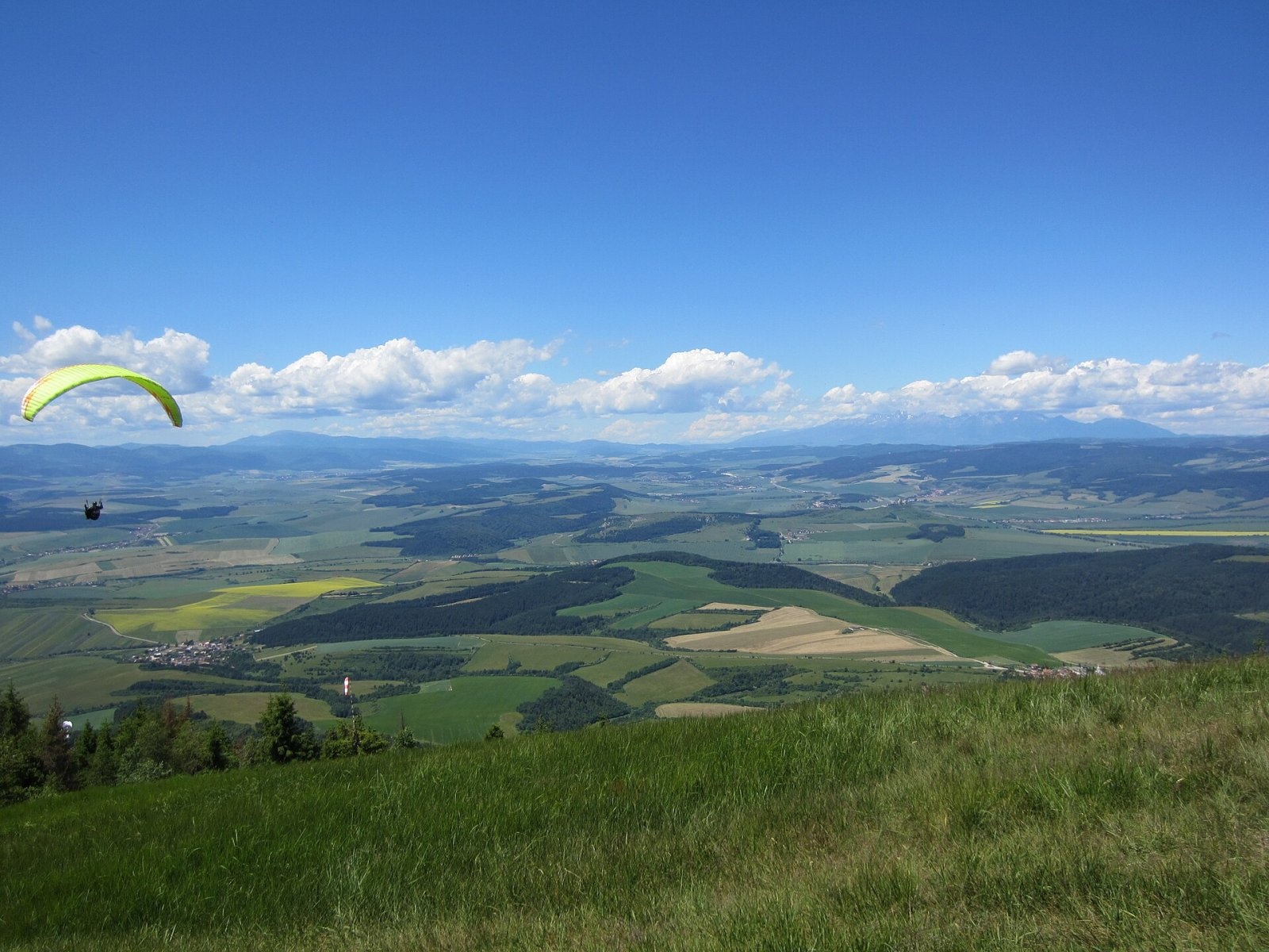
The view from Sľubica is regarded as one of the most striking in Slovakia, especially to the west: over Spiš and the Hornád basin with Dreveník and Spiš Castle, the Slovak Paradise and the Levoča and Volovské hills. The summit is covered by broken, in places sparse forest, so the best views open from individual clearings. In good visibility you can see the High and Belianske Tatras, Kráľova hoľa in the Low Tatras, Bachureň, Čergov, the Šariš Highlands, Čierna hora and even Veľký Choč, 113.6 km away as the crow flies.
Nature and history
On the summit there is an information board, a resting place with a wooden table and benches, and a hiking signpost with a box and a summit book. Marked trails from Vojkovce and Slatvina meet here. The slopes are forested and drained by the Oľšavec and Slatvinský streams to the west, the Studenec stream to the south and the Dolinský stream to the east – all in the Hornád basin.
Since 1976 the Slovak Hikers' Club Bradlo from Richnava has held every January the traditional one-day "Winter Ascent of Sľubica" along the route Branisko pass – Rudník – Rajtopíky – Sľubica – Richnava.
Safety, season and rules
The trails to Sľubica run through forest and are technically easy, but the long approaches from Krompachy or Richnava need good stamina. In winter there is snow on the ridge, and in fog it is easy to lose the path, so stick to the markings. In the Slovak mountains help comes from the Mountain Rescue Service HZS: 18 300 (+421 18 300) or 112.
Interesting facts
- Veľký Choč, visible from the summit on clear days, is 113.6 km away.
- The Winter Ascent of Sľubica has been held every year since 1976.
Photos: Bubamara, CC BY-SA 4.0; Bubamara, CC BY-SA 4.0; Milan Bališin, CC BY-SA 4.0; Milan Bališin, CC BY-SA 4.0; Milan Bališin, CC BY-SA 4.0 — Wikimedia Commons.
Getting there from Ukraine
Border crossings
- Uzhhorod – Vyšné Nemecké — road, 24/7
- Malyi Bereznyi – Ubľa — road, 24/7 For cars and buses; pedestrians not confirmed by the Ukrainian border service, lorries up to 3.5 t.
- Mali Selmentsi – Veľké Slemence (pedestrian) — pedestrian, 09:00–21:00 Kyiv time Pedestrians and cyclists only; inconvenient for the Tatras without onward transport.
- Chop – Čierna nad Tisou (rail) — rail, 24/7
By car
From Uzhhorod ≈182 km, ≈2 h 45 min without queues: Uzhhorod – Vyšné Nemecké → I/19 via Sobrance and Michalovce to Košice → D1 motorway via Prešov to the exit near Levoča → road 533 to Spišská Nová Ves (≈177 km, ≈2 h 30 min from the border). From Lviv via Uzhok and Ubľa ≈407 km, ≈6 h 40 min; through Poland (Kraków – Nowy Targ) ≈496 km, ≈6 h 20 min. The D1 requires an e-vignette (eznamka.sk).
Checked 23.10.2026; border crossing hours and timetables change — check before you travel.
Location on the map
Water and shelter nearby
- Spring below Turnisko1 km · Not verified · 781 m
- Kvašná voda Spring, 627 m1.5 km · Not verified · 627 m
- Hut on Domaňov2 km · Not verified · 821 m
- Kvašná voda Spring, 536 m2.2 km · Not verified · 536 m
- Anna Spring, 466 m2.5 km · Not verified · 466 m
Comments
Trails nearby
All trails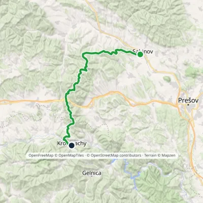 HardMulti-dayMarkedSabinov Krompachyvia Branisko PassElevation profile321–1 129 m48.9 kmascent 1 967 munder 1 km from Sľubica
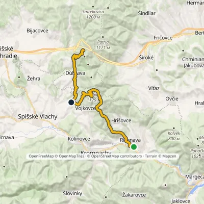 HardTwo-dayMarkedRichnava, stop SľubicaElevation profile352–1 129 m20.5 kmascent 1 420 m≈ 8 h walkingunder 1 km from Sľubica
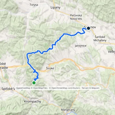 HardMulti-dayMarkedSabinov Branisko PassElevation profile320–1 098 m39.3 kmascent 1 046 m≈ 12 h walkingunder 1 km from Sľubica
Nearby attractions
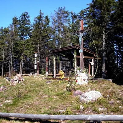 PeakSmrekovica (Branisko)Vyšný Slavkovaltitude 1 200 m8.1 km from SľubicaSmrekovica is the highest peak of the Branisko Mountains in eastern Slovakia, 1200 m high (1199.9 m to be exact).
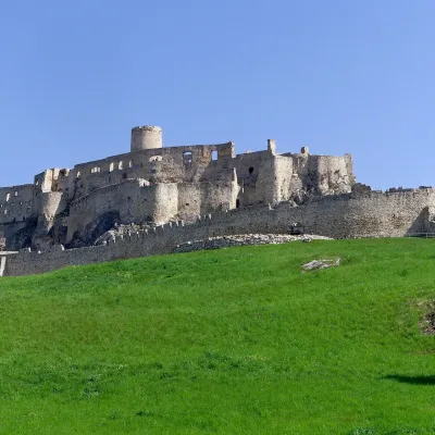 CastleSpiš CastleŽehra8.2 km from SľubicaA castle visible for dozens of kilometres Spiš Castle (Spišský hrad) is the ruin of a vast castle on top of a 634 m travertine rock that rises 200 m above the Spiš basin.
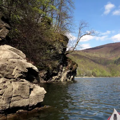 LakeRužín reservoir on the HornádMalá Lodina20 km from SľubicaRužín is a reservoir on the Hornád river in the deep, winding valley of the Čierna hora hills, the north-eastern part of the Slovak Ore Mountains, a dozen or so...
Craft nearby
All craft places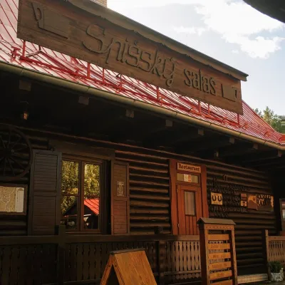 Koliby & Hutsul cuisineSpišský salaš below Spiš Castle: Spiš cooking since 1964Spišská Kapitula11 km from SľubicaBetween Spiš Castle and Spišská Kapitula, at the edge of the plain below the travertine mound of Sivá brada, stands the wooden Spišský salaš.
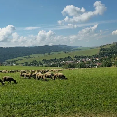 Cheese dairies & pasturesFarma Kamenica — Family Sheep Farm and Cheese Dairy in ŠarišKamenica26 km from SľubicaKamenica is a village in northern Šariš, in the valley of the Kameničanka stream, at about 483 m above sea level.
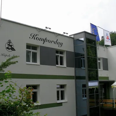 Water parks & thermal poolsŠtós spa: climatic cure, speleotherapy and poolŠtós29 km from SľubicaKúpele Štós is a climatic spa in south-eastern Slovakia, in the settlement of Štós-kúpele a few kilometres north of the mining village of Štós, where the Volovské...
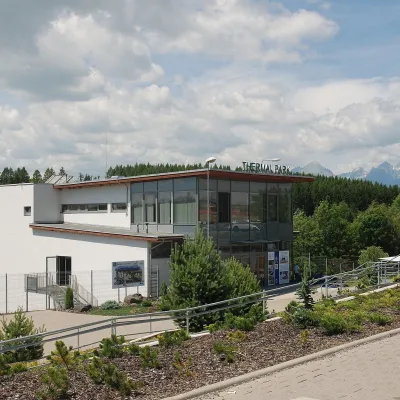 Water parks & thermal poolsThermal Park VrbovVrbov35 km from SľubicaThermal Park Vrbov is one of the best-known thermal baths in the Spiš region, on the southern edge of the village of Vrbov, about 6 km (as the crow flies) from...
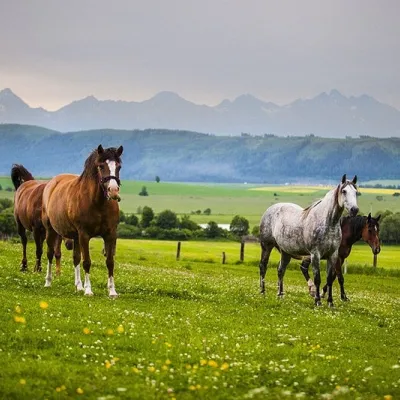 Horse ridingRanč u Trapera, Podlesok: Horse Rides in the Slovak ParadiseHrabušice36 km from SľubicaA little away from the main tourist bustle, below the forest, stands the family-run Ranč u Trapera, run by the Salaj family.
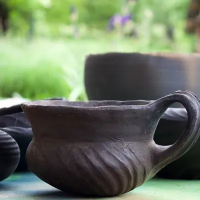 Crafts & workshopsHáj Pottery: wheel-thrown ceramics and wood-fired kilns in HájHáj38 km from SľubicaAt the back of an old farmhouse here is Háj Pottery (Hájske hrnčiarstvo), run by Amália Holíková. She throws utility ware on the wheel and models it by hand, but her...
