Spišská Nová Ves District
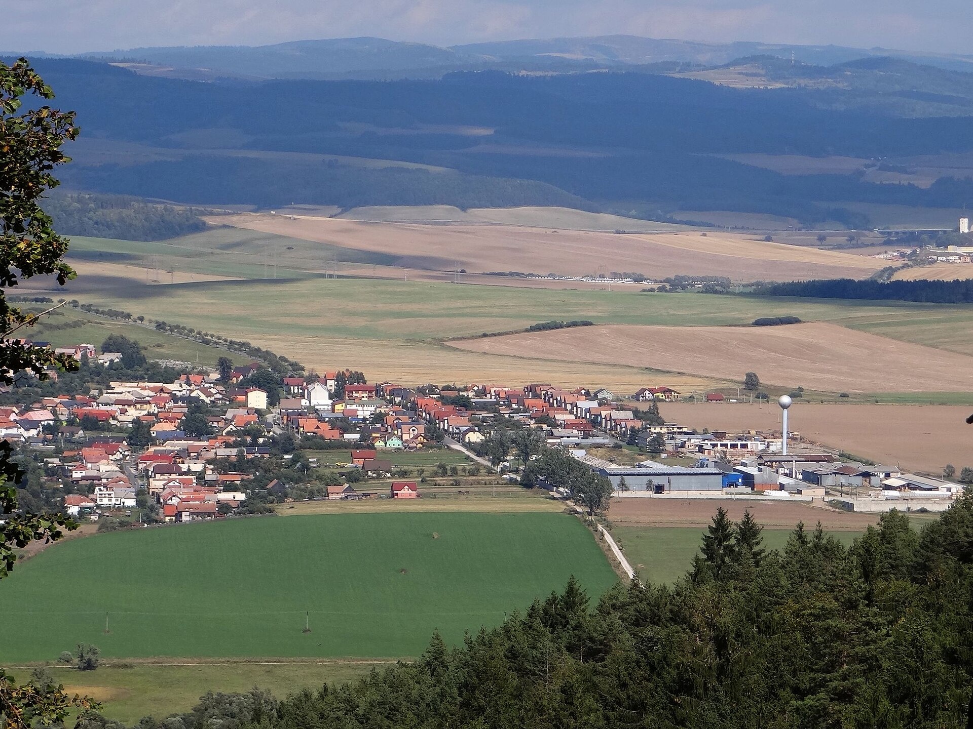
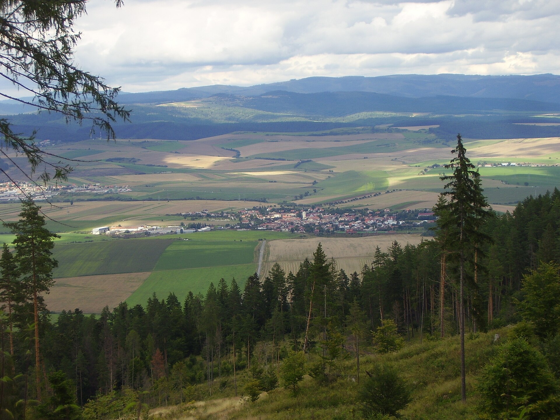
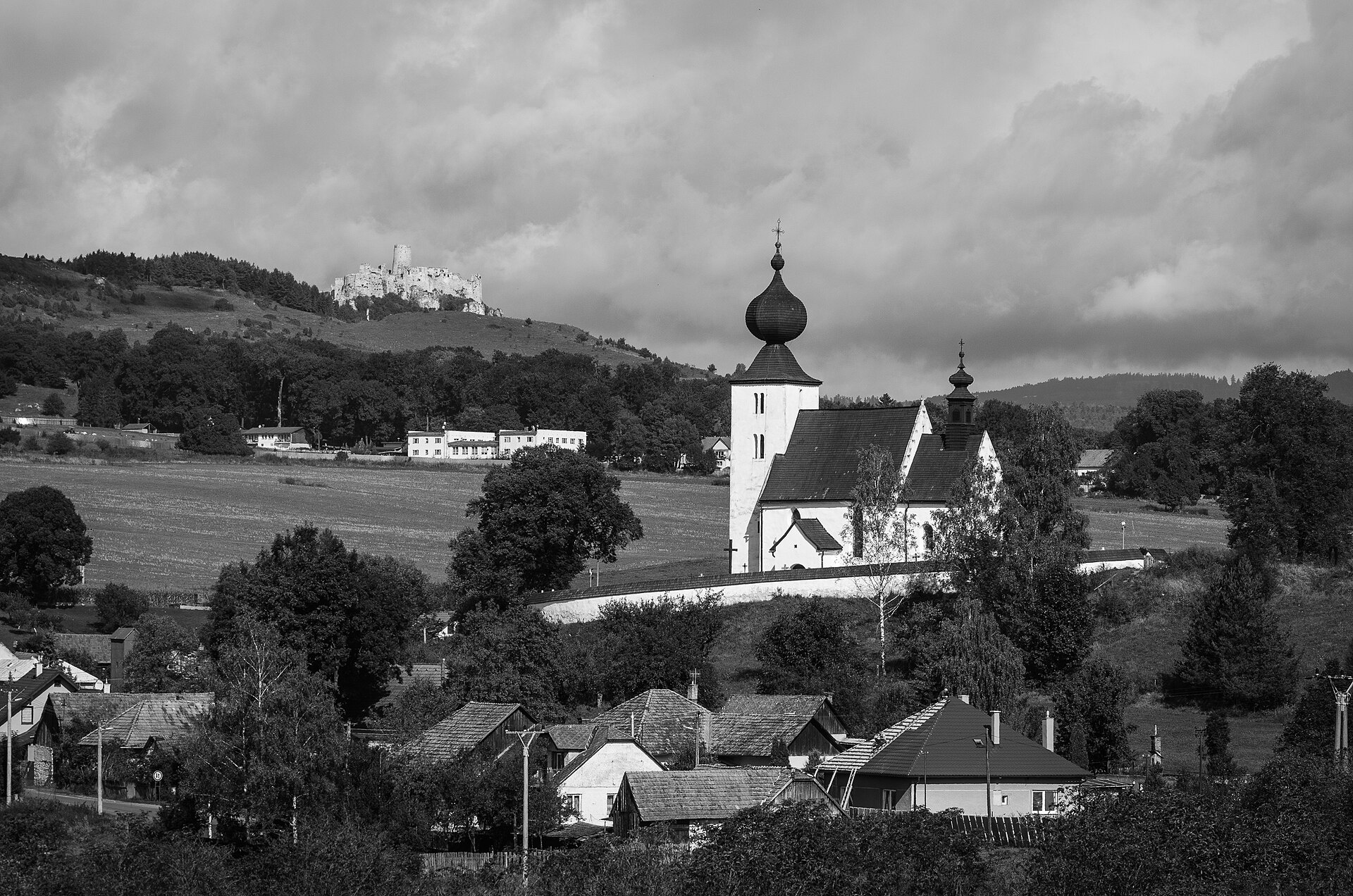
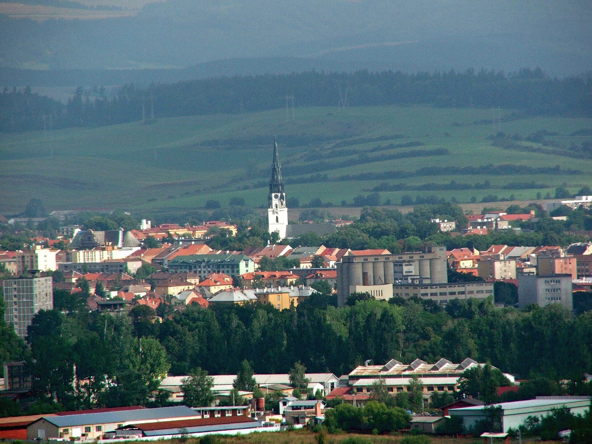
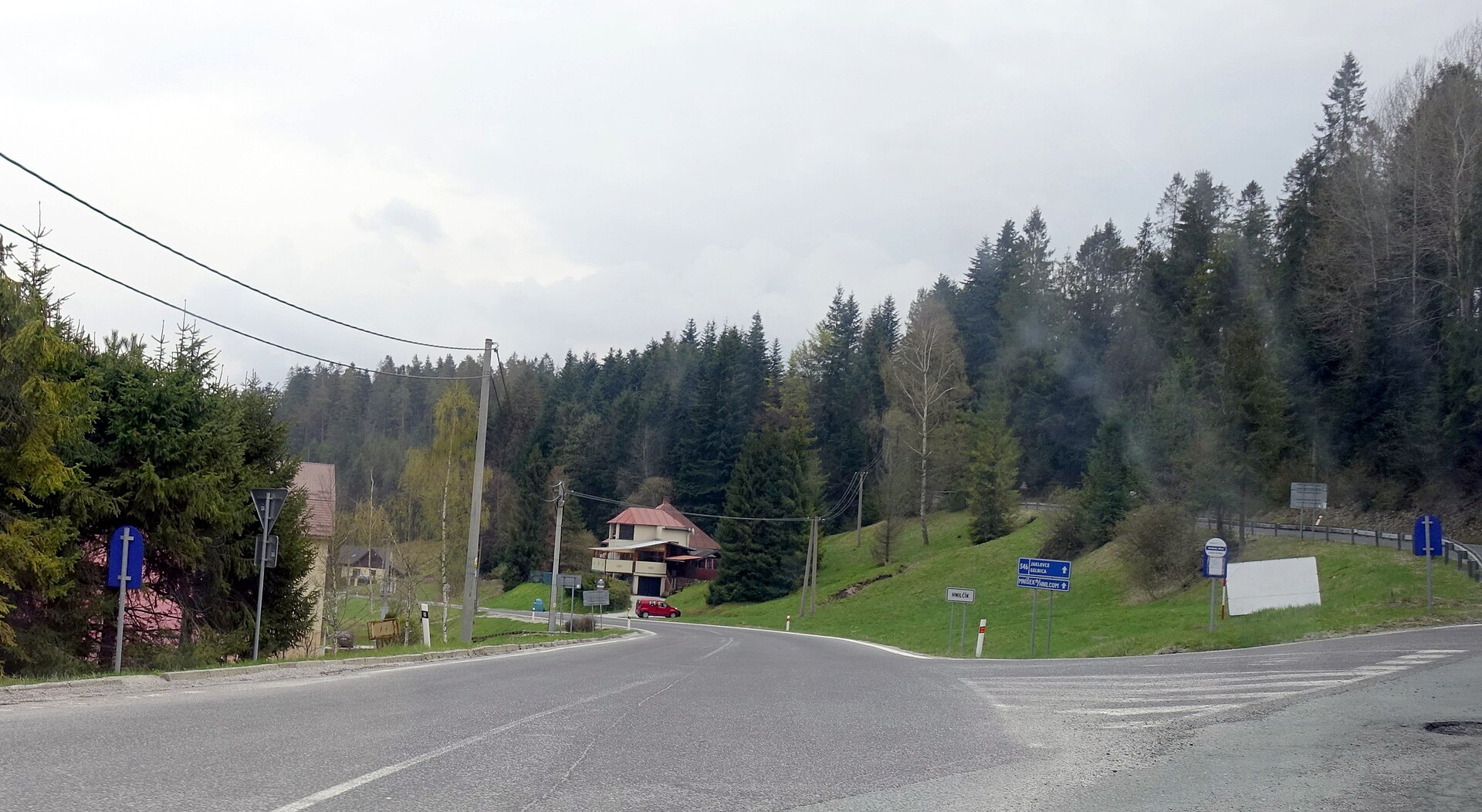
Photos: Hrabušice (Jerzy Opioła, CC BY-SA 3.0); Letanovce (Honza Groh, CC BY 3.0); Žehra (Vladimír Ruček, CC BY-SA 4.0); Spišská Nová Ves (József Süveg, CC BY-SA 3.0); Hnilčík (Ing.Mgr.Jozef Kotulič, CC BY-SA 4.0)
Spišská Nová Ves District is an administrative district in the northwestern part of the Košice Region, Slovakia. Its center is the town of Spišská Nová Ves. Until 1918, the area mostly belonged to the historical region of Spiš, with the southwestern part around Mlynky and Hnilec forming part of Gemer. The district borders Gelnica, Rožňava, Poprad, Levoča, and Prešov districts.
The district features the Geravy and Glac uplands, the Klauzy reservoir, and well-known gorges such as Zejmarská, Kyseľ, and Kláštoriská. Its natural landscapes offer many opportunities for outdoor activities and recreation.
On karpaty.rocks, the towns and villages with the most featured objects are Spišská Nová Ves, Hrabušice, Letanovce, Smižany, and Krompachy. There are over 40 hiking trails, including Smižany – Kláštorisko and Krompachy – Žakarovce, as well as the Sľubica peak. Notable sights include Spiš Castle, Kláštorisko, the Spiš Museum, and the gorges Suchá Belá, Kyseľ, and Kláštoriská with their waterfalls.
Getting there from Ukraine
From Uzhhorod ≈182 km, ≈2 h 45 min without queues: Uzhhorod – Vyšné Nemecké → I/19 via Sobrance and Michalovce to Košice → D1 motorway via Prešov to the exit near Levoča → road 533 to Spišská Nová Ves (≈177 km, ≈2 h 30 min from the border). From Lviv via Uzhok and Ubľa ≈407 km, ≈6 h 40 min; through Poland (Kraków – Nowy Targ) ≈496 km, ≈6 h 20 min. The D1 requires an e-vignette (eznamka.sk).
Sources: Wikipedia, Wikidata, OpenStreetMap, Karpaty.rocks data.
Towns and villages
 Hrabušice10 trails, 4 sights, 1 craft place
 Letanovce7 trails, 4 sights
 Spišská Nová Ves7 trails, 1 sight
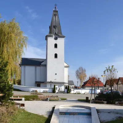 Smižany6 trails
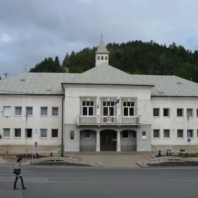 Krompachy5 trails
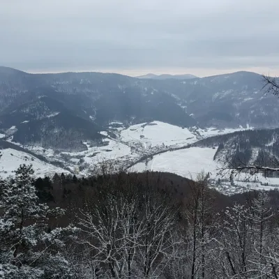 Slovinky4 trails
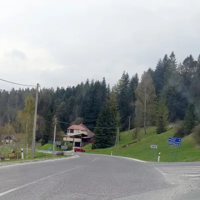 Hnilčík4 trails
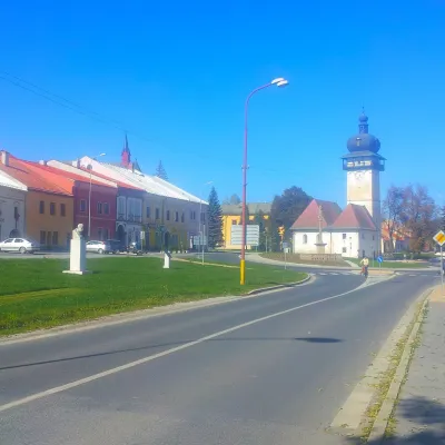 Spišské Vlachy3 trailsPoráč3 trails
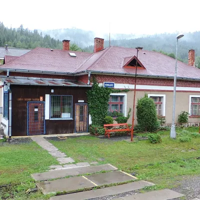 Hnilec3 trails
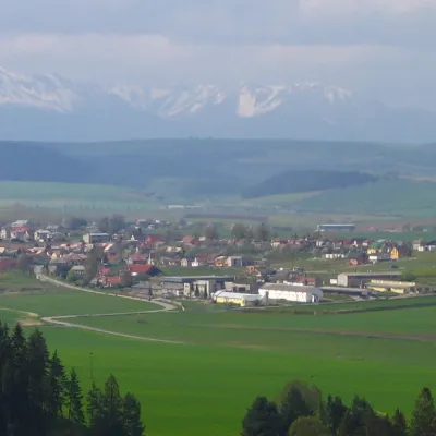 Spišské Tomášovce2 trails
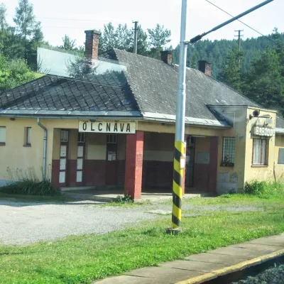 Olcnava2 trails
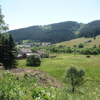 Mlynky2 trails
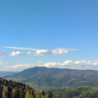 Slatvina1 trail, 1 peak
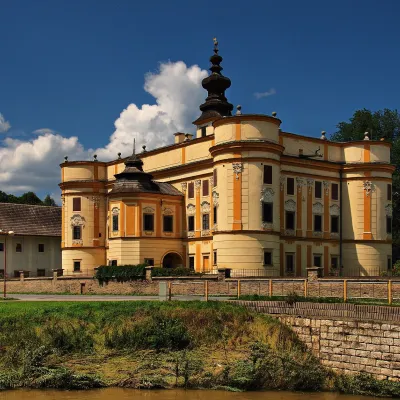 Markušovce1 trail
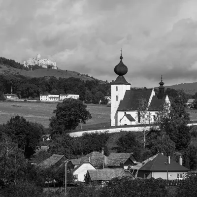 Žehra1 sight
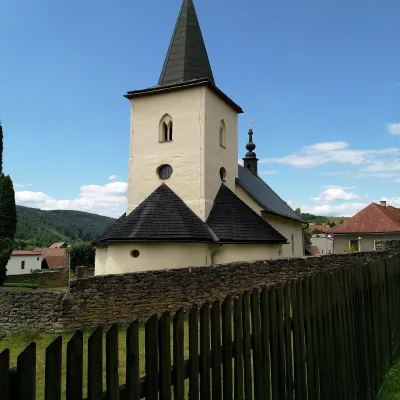 Chrasť nad Hornádom1 trail
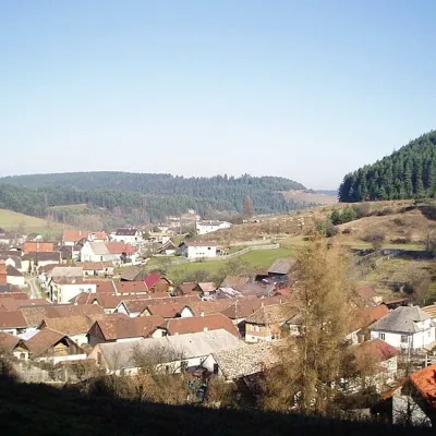 Matejovce nad Hornádom1 trail
Getting there from Ukraine
Border crossings
- Uzhhorod – Vyšné Nemecké — road, 24/7
- Malyi Bereznyi – Ubľa — road, 24/7 For cars and buses; pedestrians not confirmed by the Ukrainian border service, lorries up to 3.5 t.
- Mali Selmentsi – Veľké Slemence (pedestrian) — pedestrian, 09:00–21:00 Kyiv time Pedestrians and cyclists only; inconvenient for the Tatras without onward transport.
- Chop – Čierna nad Tisou (rail) — rail, 24/7
By car
From Uzhhorod ≈182 km, ≈2 h 45 min without queues: Uzhhorod – Vyšné Nemecké → I/19 via Sobrance and Michalovce to Košice → D1 motorway via Prešov to the exit near Levoča → road 533 to Spišská Nová Ves (≈177 km, ≈2 h 30 min from the border). From Lviv via Uzhok and Ubľa ≈407 km, ≈6 h 40 min; through Poland (Kraków – Nowy Targ) ≈496 km, ≈6 h 20 min. The D1 requires an e-vignette (eznamka.sk).
Checked 23.10.2026; border crossing hours and timetables change — check before you travel.
