Smižany
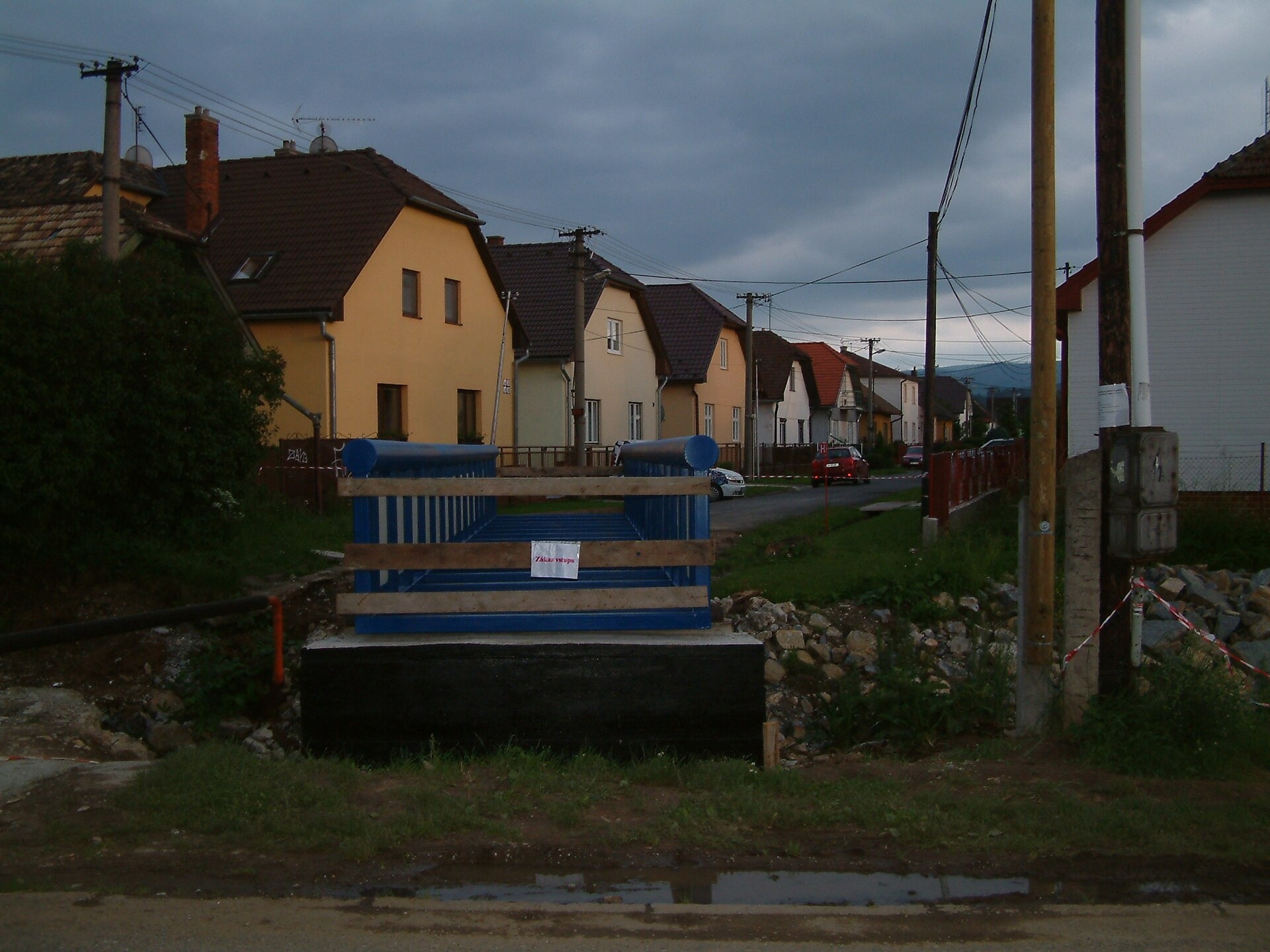
Photos: Photograph: Robert Jahoda, CC BY-SA 4.0 (Wikimedia Commons); Robert Jahoda, CC BY-SA 4.0 (Wikimedia Commons); bielyvlk, CC BY-SA 3.0 (Wikimedia Commons); Szodorai Imre [Hun], CC BY 3.0 (Wikimedia Commons); Szodorai Imre [Hun], CC BY 3.0 (Wikimedia Commons); Robert Jahoda, CC BY-SA 4.0 (Wikimedia Commons)
Smižany is a large village in the Spišská Nová Ves District of the Košice Region, Slovakia, situated at 479 meters above sea level in the Western Carpathians. The village lies at the northern edge of Slovenský raj (Slovak Paradise), on the banks of the Biely potok, Brusník, and Hlinica rivers, near the Klauzy reservoir and Zejmarská Gorge. Smižany borders Spišská Nová Ves, forming a contiguous urban area in eastern Slovakia.
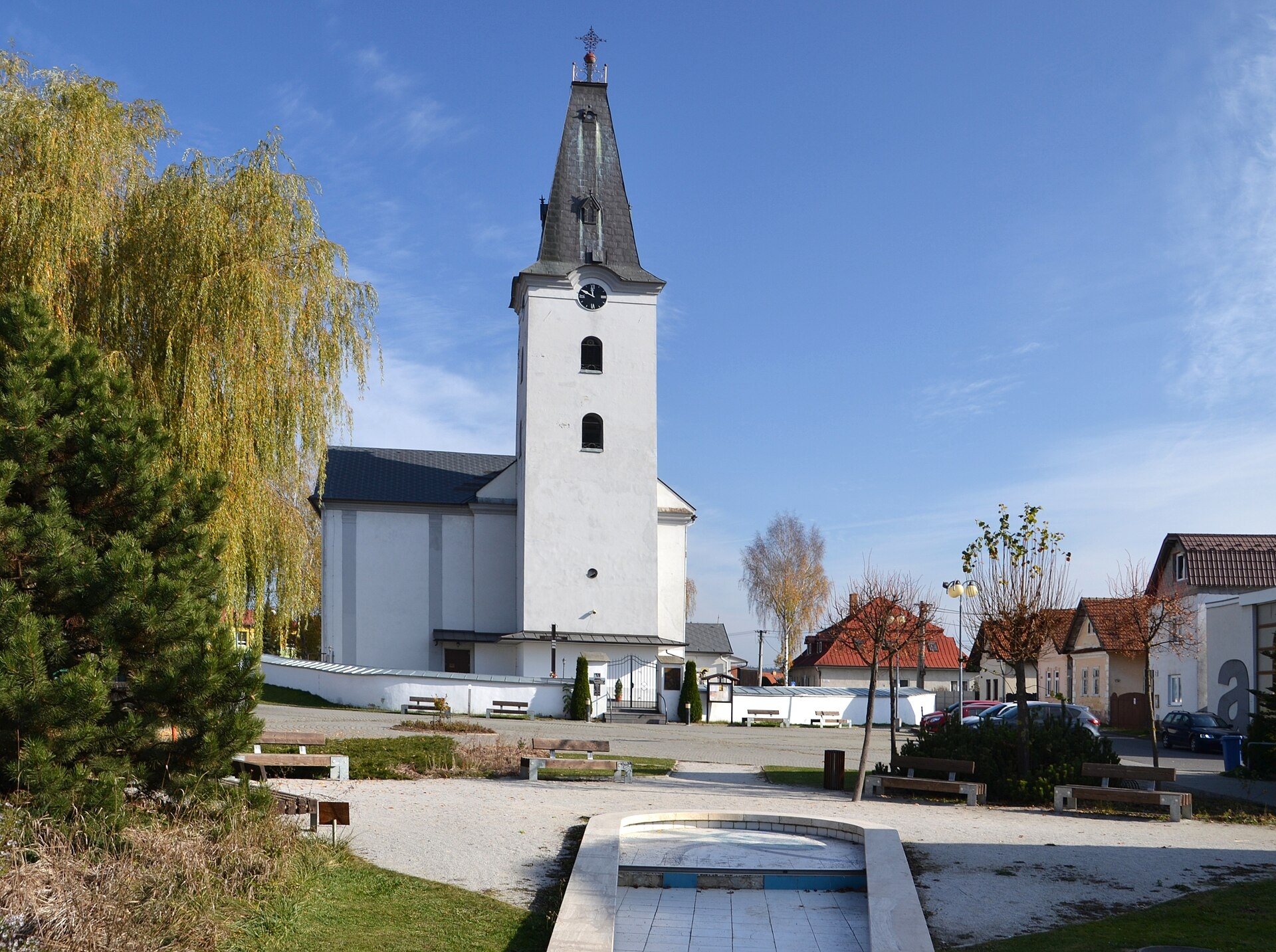
The first written mention of Smižany dates back to 1246. Archaeological excavations in Čingov, just south of the village, have uncovered traces of Stone Age settlement and Slavic fortifications from the 9th century. The Romanesque church, built in the 13th century, still stands as a historical monument.
Smižany is known for its rich history and cultural heritage, notably the Čingov archaeological site with remnants of ancient fortifications. The village is at the gateway to Slovenský raj National Park, famous for its gorges, waterfalls, and caves. Smižany has a population of over 8,700, including a significant Roma community.
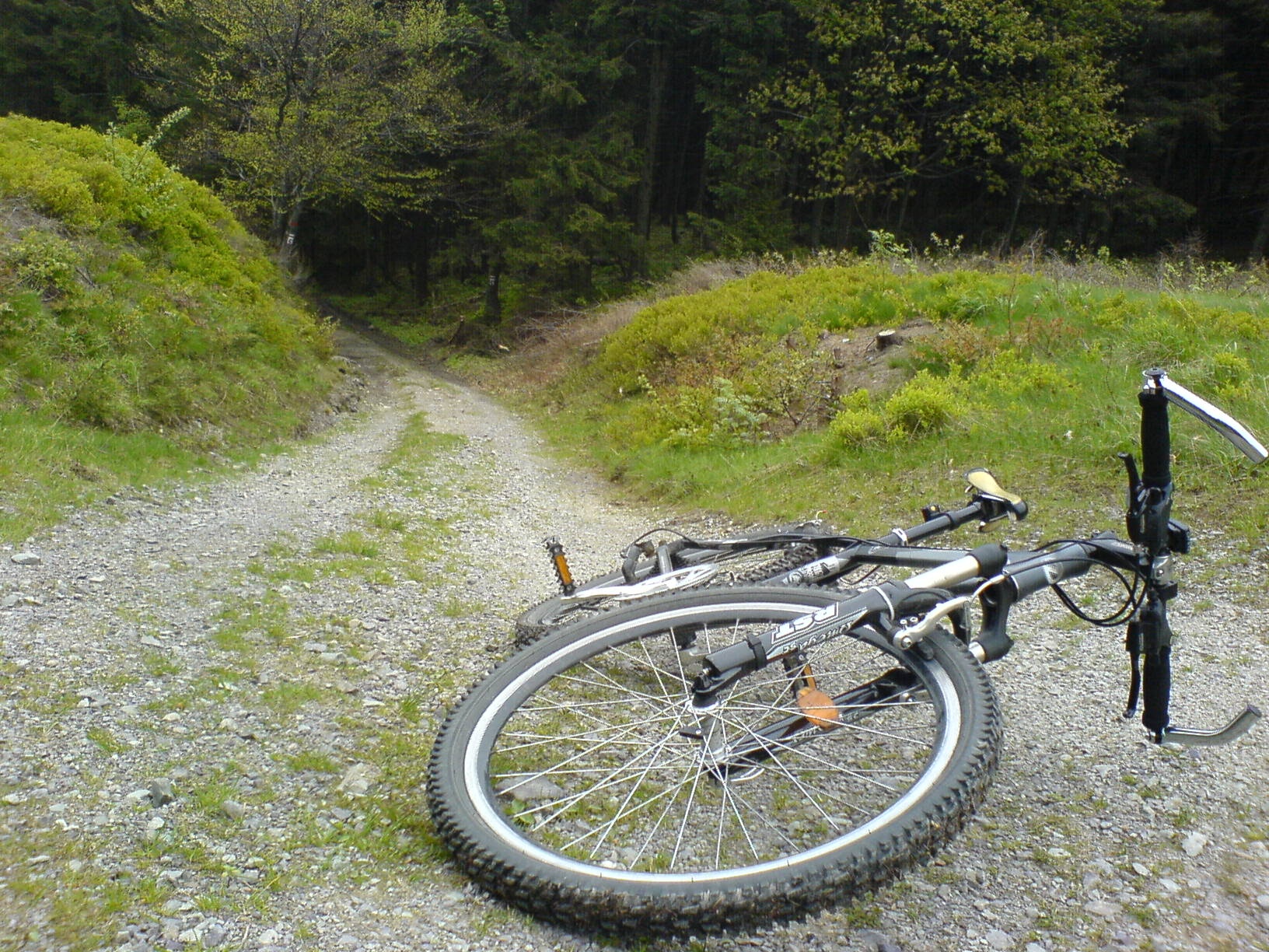
Visitors to Smižany can explore numerous hiking trails starting from the village, such as "Smižany – Kláštorisko, shelter" and "Smižany, stop – Hornád mouth," as well as routes to Čingov, Kláštorská Gorge, and Suchá Belá. Nearby sights include the ruins of the Carthusian monastery at Kláštorisko, the Hornád Breakthrough, Kysel and Piecky waterfalls, and the Basilica of St. James in Levoča. For active travelers, the "U Trapera" ranch in Podlesok offers horseback riding in Slovenský raj.
Getting there from Ukraine
From Uzhhorod ≈182 km, ≈2 h 45 min without queues: Uzhhorod – Vyšné Nemecké → I/19 via Sobrance and Michalovce to Košice → D1 motorway via Prešov to the exit near Levoča → road 533 to Spišská Nová Ves (≈177 km, ≈2 h 30 min from the border). From Lviv via Uzhok and Ubľa ≈407 km, ≈6 h 40 min; through Poland (Kraków – Nowy Targ) ≈496 km, ≈6 h 20 min. The D1 requires an e-vignette (eznamka.sk).
Sources: Wikipedia, Wikidata, OpenStreetMap, Karpaty.rocks data. More on Wikipedia
Trails nearby
All trails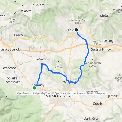 ModerateTwo-dayMarkedSmižany Levoča, near Košická GateElevation profile451–660 m19.6 kmascent 406 m≈ 5.5 h walkingunder 1 km from the centre
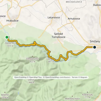 ModerateOne-dayMarkedSmižany, zastávka Hrdlo HornáduElevation profile483–667 m13.5 kmascent 422 m≈ 4 h walkingunder 1 km from the centre
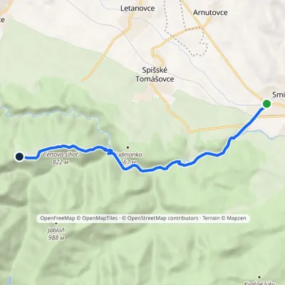 EasyOne-dayMarkedSmižany Kláštorisko, hutElevation profile484–839 m8.8 kmascent 377 m≈ 3 h walkingunder 1 km from the centre
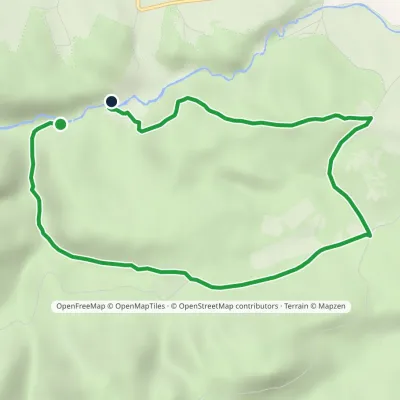 EasyOne-dayMarkedČingov, centrum Lesnica, mouthElevation profile495–621 m8.3 kmascent 216 m≈ 2.5 h walking2 km from the centre
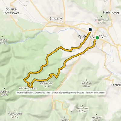 ModerateOne-dayMarkedSpišská Nová Ves, square Spišská Nová Ves, stationElevation profile448–905 m17.8 kmascent 485 m≈ 5.5 h walking2.2 km from the centre
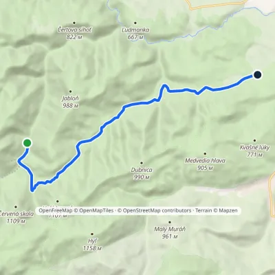 EasyOne-dayMarkedKošiarny Briežok KlauzyElevation profile539–825 m10.7 kmascent 230 m≈ 3 h walking3 km from the centre
Peaks nearby
All peaks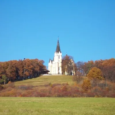 PeakMariánska hora (Marian Hill)Levočaaltitude 761 m11 km from the centreMariánska hora (Marian Hill; Hungarian Máriahegy) is a hill on the southern edge of the Levoča Hills, about 2 km north of the centre of the town of Levoča in eastern...
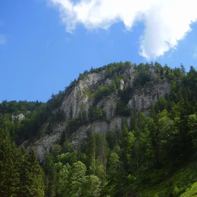 PeakHavrania skalaStratenáaltitude 1 156 m15 km from the centreHavrania skala (Raven Rock) is a 1,156 m summit, one of the highest in the Slovak Paradise. It stands in the southern part of the national park, about 3 km north of...
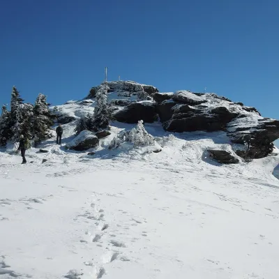 PeakSkaliskoBetliaraltitude 1 293 m24 km from the centreSkalisko (Hungarian Pozsálló; the massif is often called Volovec) is the second highest summit of the Volovské vrchy, part of the Slovak Ore Mountains, at 1,293 m.
What to visit
All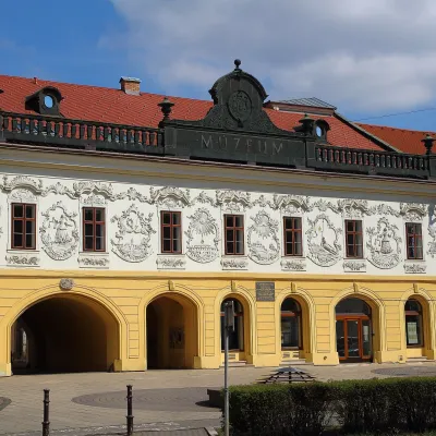 MuseumSpiš Museum in Spišská Nová Ves (Provincial House)Spišská Nová Ves3.7 km from the centreThe Spiš Museum (Múzeum Spiša) in Spišská Nová Ves is one of the most comprehensive regional museums in eastern Slovakia.
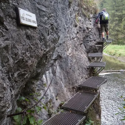 NatureHornád River Gorge (Prielom Hornádu)Hrabušice7.3 km from the centreThe Hornád Gorge (Prielom Hornádu) is, together with the Suchá Belá ravine and the Tomášovský výhľad viewpoint, the best-known place in Slovak Paradise National Park.
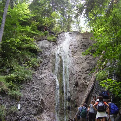 WaterfallKláštorská Gorge and its waterfallsLetanovce7.3 km from the centreKláštorská roklina (Kláštorská Gorge) is one of the shortest but most picturesque gorges of the Slovak Paradise National Park in the Spiš region.
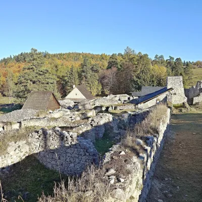 Historic siteKláštorisko – Carthusian Monastery RuinsLetanovce7.5 km from the centreKláštorisko is a broad plateau at 760 m on the ridge between Čertova sihoť and the Glac plateau, one of the main tourist hubs in the north of Slovak Paradise National...
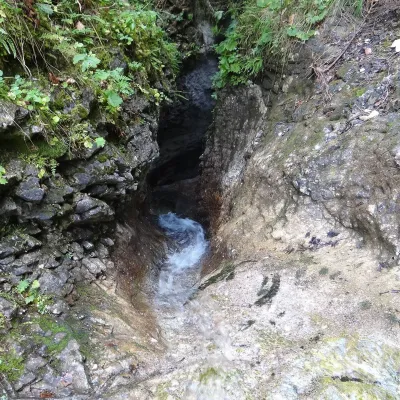 WaterfallKyseľ Gorge and its waterfalls: the ferrata, Malý and Veľký KyseľLetanovce8.2 km from the centreKyseľ is one of the most characteristic and most visited gorges of Slovak Paradise National Park (Slovenský raj) in eastern Slovakia.
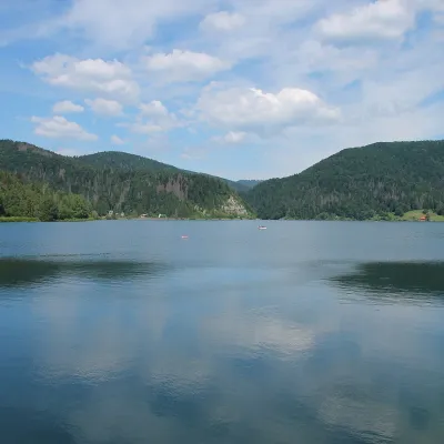 LakePalcmanská Maša reservoirDedinky15 km from the centrePalcmanská Maša is the largest reservoir in the Slovak Paradise. It lies on the upper course of the Hnilec river, in a basin-like widening of the valley below the...
Craft nearby
All craft places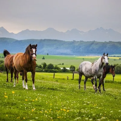 Horse ridingRanč u Trapera, Podlesok: Horse Rides in the Slovak ParadiseHrabušice11 km from the centreA little away from the main tourist bustle, below the forest, stands the family-run Ranč u Trapera, run by the Salaj family.
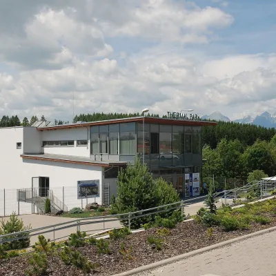 Water parks & thermal poolsThermal Park VrbovVrbov16 km from the centreThermal Park Vrbov is one of the best-known thermal baths in the Spiš region, on the southern edge of the village of Vrbov, about 6 km (as the crow flies) from...
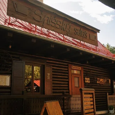 Koliby & Hutsul cuisineSpišský salaš below Spiš Castle: Spiš cooking since 1964Spišská Kapitula16 km from the centreBetween Spiš Castle and Spišská Kapitula, at the edge of the plain below the travertine mound of Sivá brada, stands the wooden Spišský salaš.
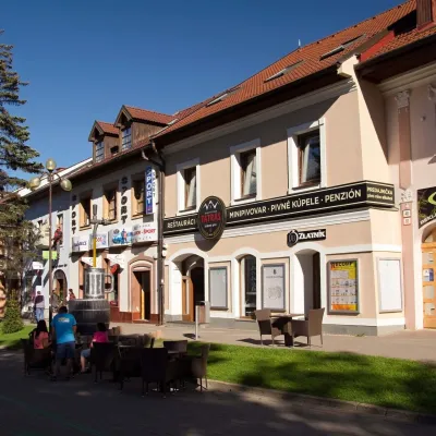 Craft beer & breweriesMinipivovar TATRAS, PopradPoprad19 km from the centreMinipivovar TATRAS is a brewpub on Poprad’s main square, Námestie sv. Egídia, housed in a building with a long brewing history.
 Water parks & thermal poolsAquaCity Poprad water parkPoprad19 km from the centreAquaCity Poprad is a large year-round water park and wellness complex in the town of Poprad, a few minutes from the centre; according to the complex, the High Tatras...
 Water parks & thermal poolsClimatic spas of the High Tatras: Nový Smokovec, Polianka, KotlinaVysoké Tatry30 km from the centreNový Smokovec is the best known of the climatic spas of the High Tatras. It grew up in a spruce forest at about 1010 m, south-west of Starý Smokovec, with which it...
Spas and thermal pools nearby
Water parks & thermal poolsThermal Park VrbovVrbov16 km from the centreThermal Park Vrbov is one of the best-known thermal baths in the Spiš region, on the southern edge of the village of Vrbov, about 6 km (as the crow flies) from...Water parks & thermal poolsAquaCity Poprad water parkPoprad19 km from the centreAquaCity Poprad is a large year-round water park and wellness complex in the town of Poprad, a few minutes from the centre; according to the complex, the High Tatras...Water parks & thermal poolsClimatic spas of the High Tatras: Nový Smokovec, Polianka, KotlinaVysoké Tatry30 km from the centreNový Smokovec is the best known of the climatic spas of the High Tatras. It grew up in a spruce forest at about 1010 m, south-west of Starý Smokovec, with which it...Huts, shelters and springs nearby
Getting there from Ukraine
Border crossings
- Uzhhorod – Vyšné Nemecké — road, 24/7
- Malyi Bereznyi – Ubľa — road, 24/7 For cars and buses; pedestrians not confirmed by the Ukrainian border service, lorries up to 3.5 t.
- Mali Selmentsi – Veľké Slemence (pedestrian) — pedestrian, 09:00–21:00 Kyiv time Pedestrians and cyclists only; inconvenient for the Tatras without onward transport.
- Chop – Čierna nad Tisou (rail) — rail, 24/7
By car
From Uzhhorod ≈182 km, ≈2 h 45 min without queues: Uzhhorod – Vyšné Nemecké → I/19 via Sobrance and Michalovce to Košice → D1 motorway via Prešov to the exit near Levoča → road 533 to Spišská Nová Ves (≈177 km, ≈2 h 30 min from the border). From Lviv via Uzhok and Ubľa ≈407 km, ≈6 h 40 min; through Poland (Kraków – Nowy Targ) ≈496 km, ≈6 h 20 min. The D1 requires an e-vignette (eznamka.sk).
Checked 23.10.2026; border crossing hours and timetables change — check before you travel.
