Košice Region
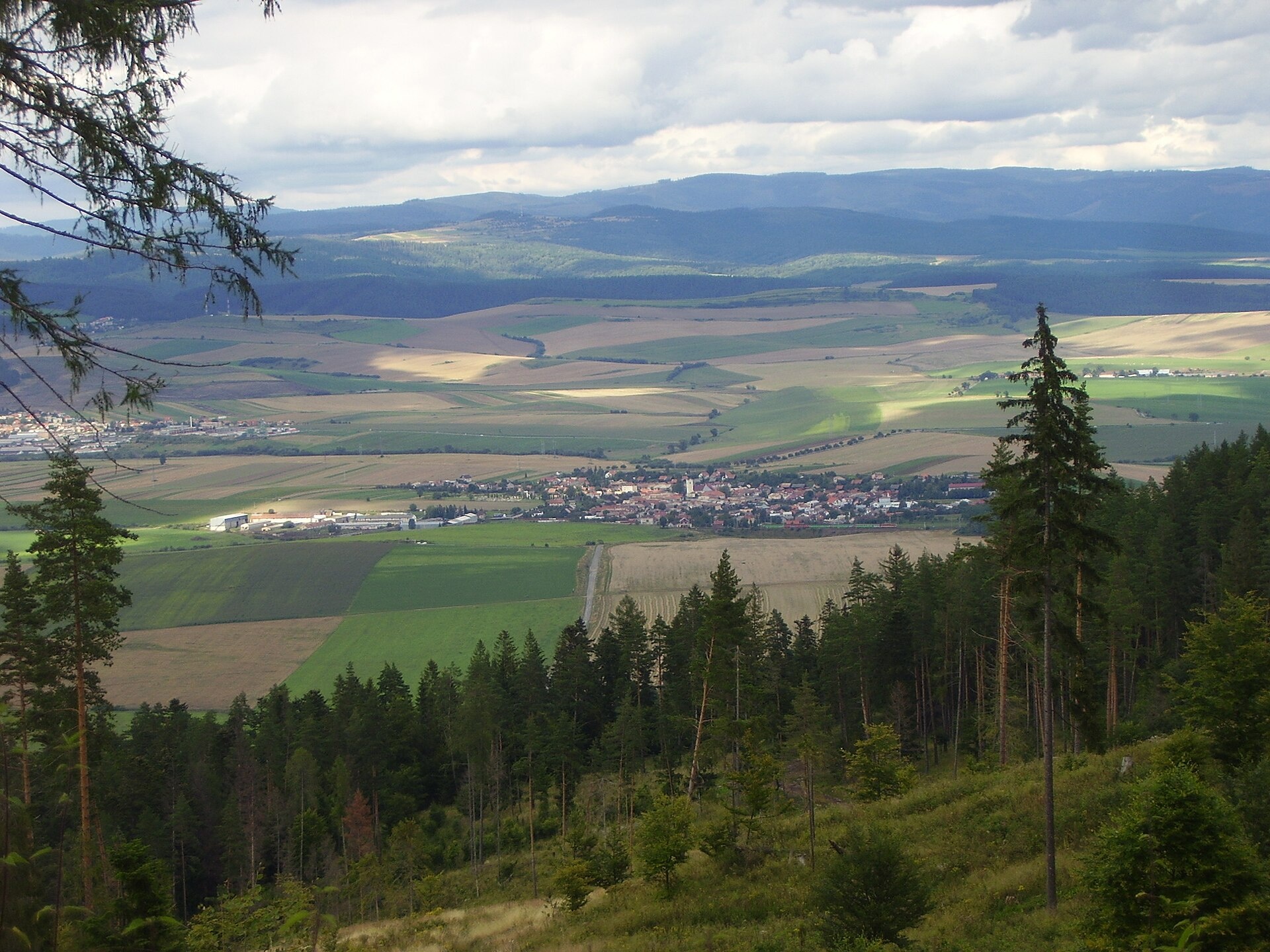
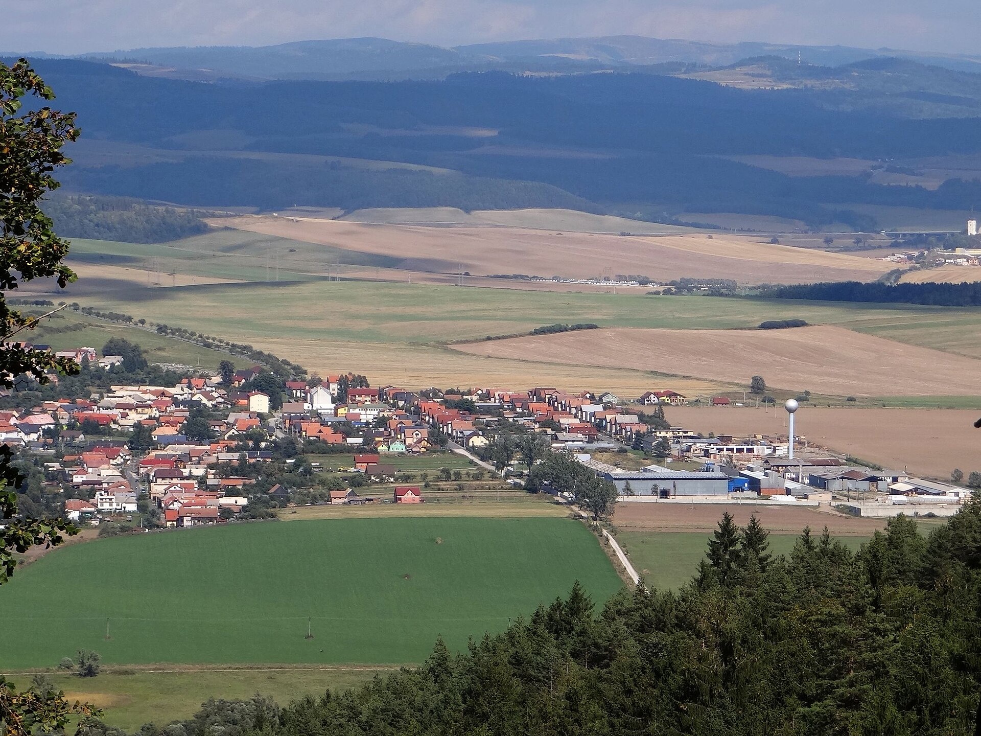
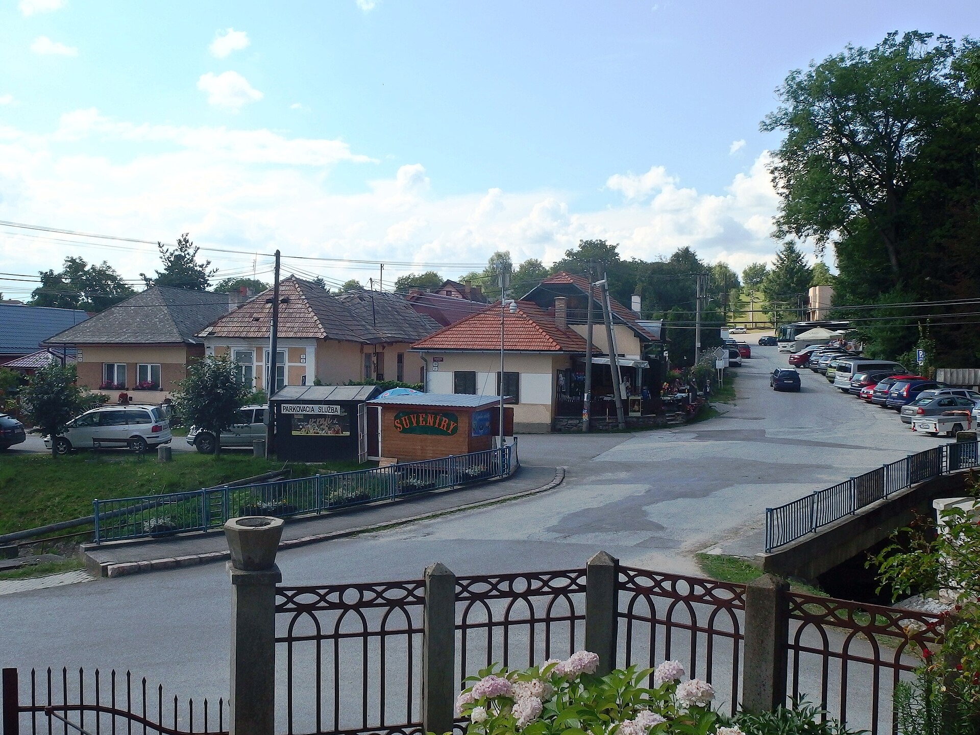
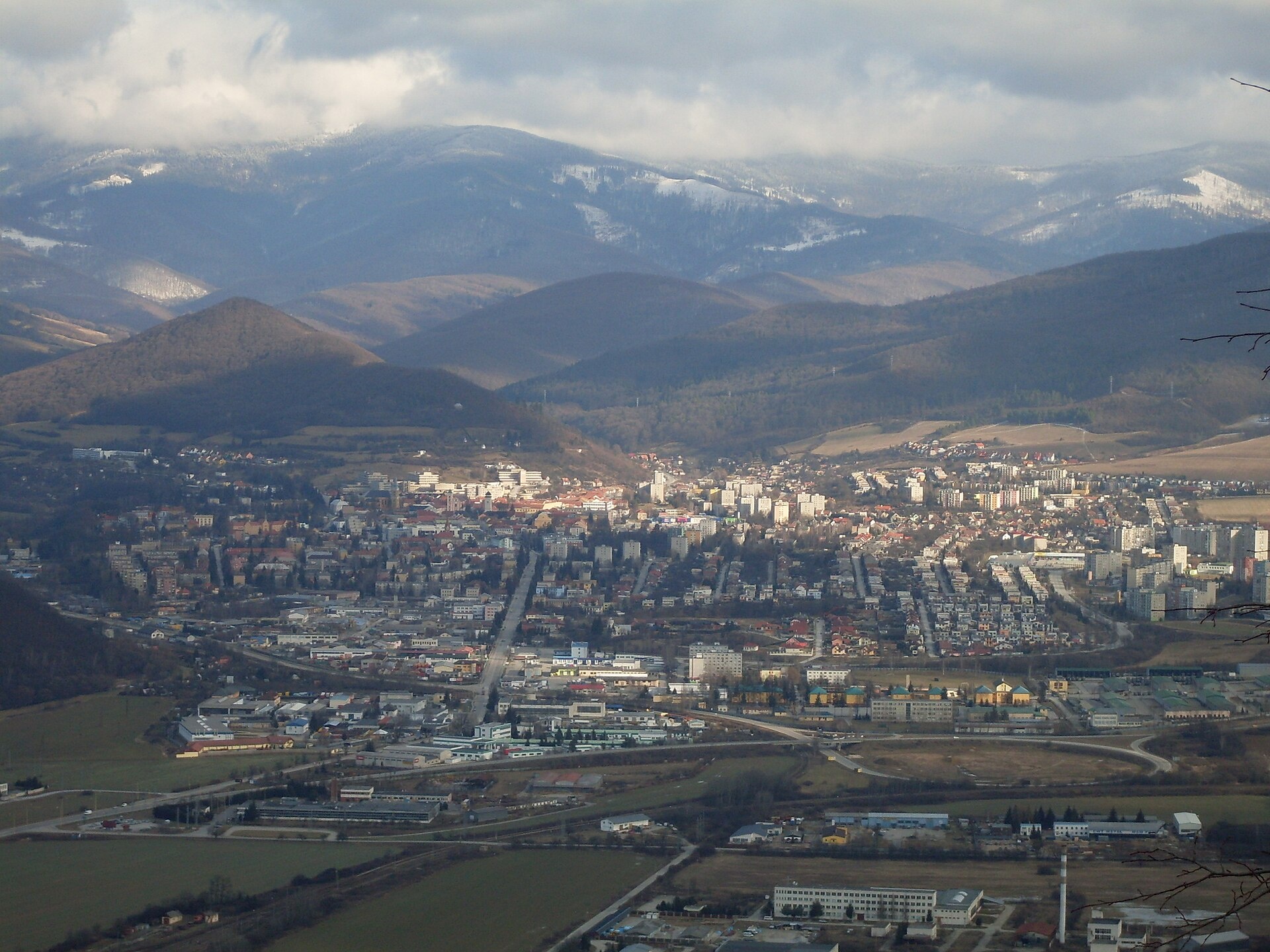
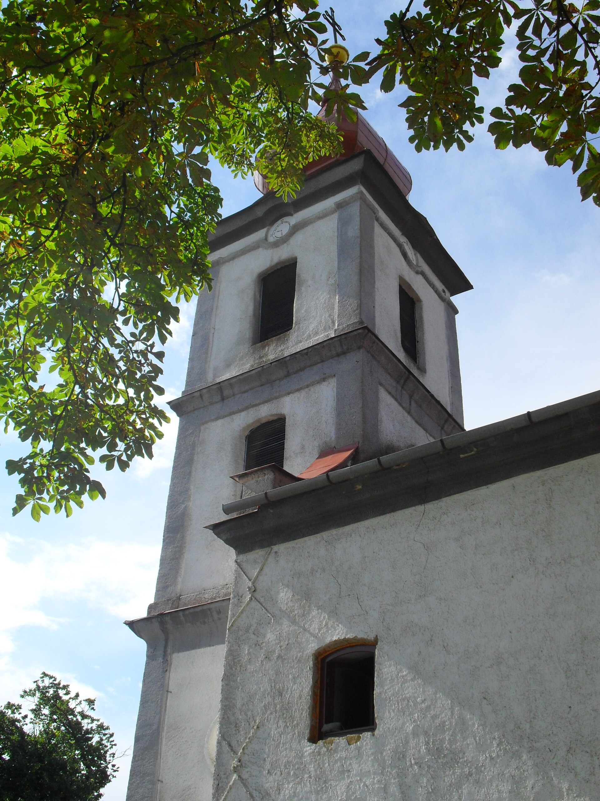
Photos: Letanovce (Honza Groh, CC BY 3.0); Hrabušice (Jerzy Opioła, CC BY-SA 3.0); Betliar (Palickap, CC BY-SA 4.0); Rožňava (Potocny, CC BY-SA 3.0); Veľká Tŕňa (Szeder László, CC BY-SA 4.0)
Košice Region is one of the eight administrative regions of Slovakia, with Košice as its economic and cultural centre. Located in the southeast, it borders Ukraine, Hungary, Prešov Region, and Banská Bystrica Region. The region includes 11 districts and 17 towns, such as Veľké Kapušany, Gelnica, Dobšiná, Košice, Michalovce, Rožňava, Spišská Nová Ves, Trebišov, and Čierna nad Tisou.
The region covers part of the Eastern Carpathians, the Slovak Ore Mountains, Slovak Paradise, Slovak Karst, Vihorlat, and Slanské Hills. Notable natural features include Zemplínska Šírava, the Slaná, Hornád, Uh, and Bodrog rivers, as well as caves, gorges, and waterfalls. Košice Region is known for its ethnic and religious diversity.
karpaty.rocks offers over 150 trails here, including Smižany – Kláštorisko, Košice, Čermeľ – Veľká Lodina, and Richnava – Sľubica. Highlights include Dobšinská Ice Cave, Ochtinská Aragonite Cave, Andrassy Palace in Betliar, Spiš Castle, and Zemplínska Šírava. The most objects are in Košice-okolie, Spišská Nová Ves, Rožňava, and Gelnica districts.
Getting there from Ukraine
From Uzhhorod ≈182 km, ≈2 h 45 min without queues: Uzhhorod – Vyšné Nemecké → I/19 via Sobrance and Michalovce to Košice → D1 motorway via Prešov to the exit near Levoča → road 533 to Spišská Nová Ves (≈177 km, ≈2 h 30 min from the border). From Lviv via Uzhok and Ubľa ≈407 km, ≈6 h 40 min; through Poland (Kraków – Nowy Targ) ≈496 km, ≈6 h 20 min. The D1 requires an e-vignette (eznamka.sk).
Sources: Wikipedia, Wikidata, OpenStreetMap, Karpaty.rocks data.
Towns, villages and districts
 Košice-okolie Districtokres Košice-okolie66 trails, 2 peaks, 2 sights
 Spišská Nová Ves Districtokres Spišská Nová Ves63 trails, 1 peak, 9 sights
 Rožňava Districtokres Rožňava58 trails, 3 peaks, 7 sights
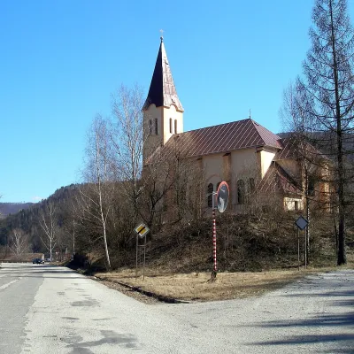 Gelnica Districtokres Gelnica29 trails, 2 peaks, 1 sight
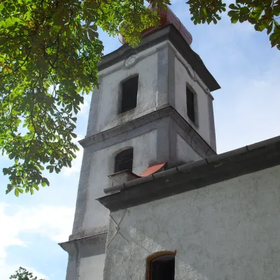 Trebišov Districtokres Trebišov5 trails, 7 craft places, 10 settlements
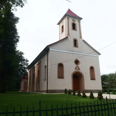 Sobrance Districtokres Sobrance7 trails, 1 peak, 1 sight
Getting there from Ukraine
Border crossings
- Uzhhorod – Vyšné Nemecké — road, 24/7
- Malyi Bereznyi – Ubľa — road, 24/7 For cars and buses; pedestrians not confirmed by the Ukrainian border service, lorries up to 3.5 t.
- Mali Selmentsi – Veľké Slemence (pedestrian) — pedestrian, 09:00–21:00 Kyiv time Pedestrians and cyclists only; inconvenient for the Tatras without onward transport.
- Chop – Čierna nad Tisou (rail) — rail, 24/7
By car
From Uzhhorod ≈182 km, ≈2 h 45 min without queues: Uzhhorod – Vyšné Nemecké → I/19 via Sobrance and Michalovce to Košice → D1 motorway via Prešov to the exit near Levoča → road 533 to Spišská Nová Ves (≈177 km, ≈2 h 30 min from the border). From Lviv via Uzhok and Ubľa ≈407 km, ≈6 h 40 min; through Poland (Kraków – Nowy Targ) ≈496 km, ≈6 h 20 min. The D1 requires an e-vignette (eznamka.sk).
Checked 23.10.2026; border crossing hours and timetables change — check before you travel.
