Gelnica District
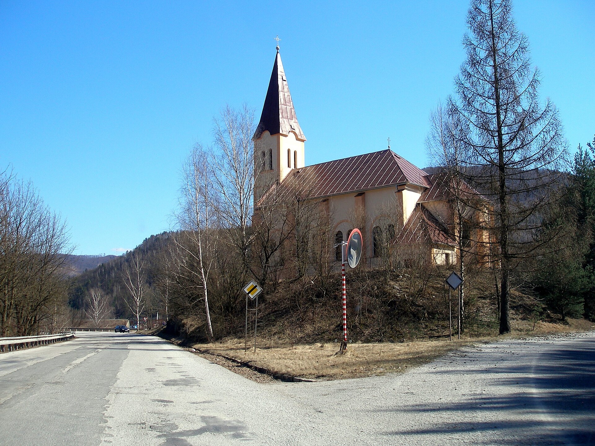
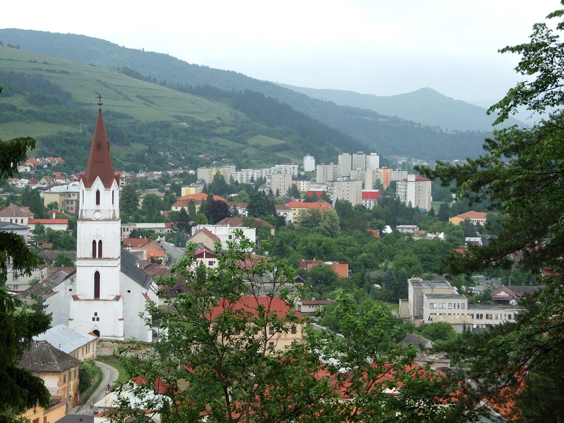
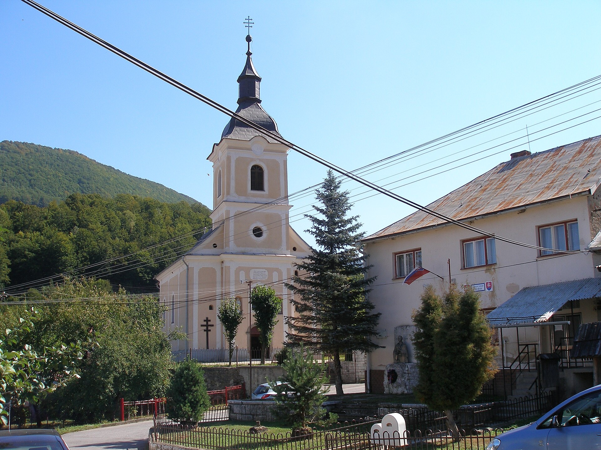
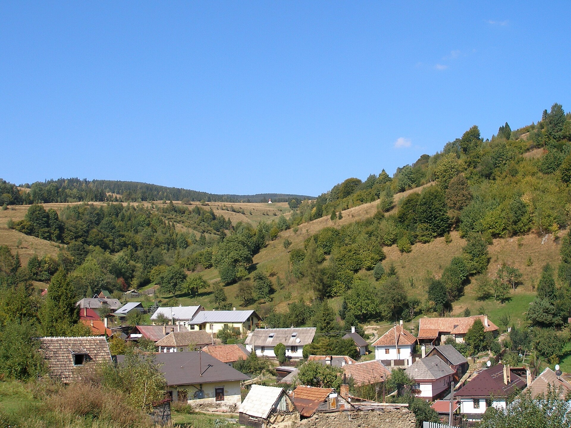
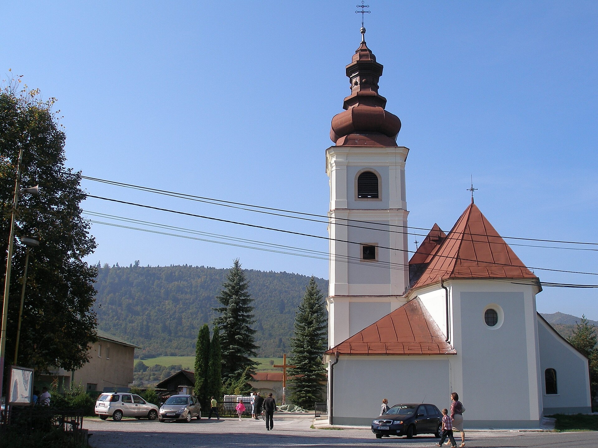
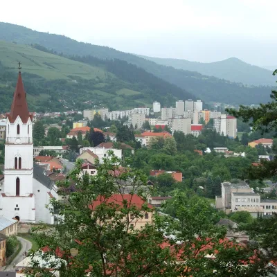
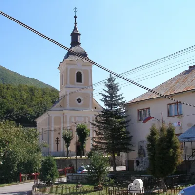
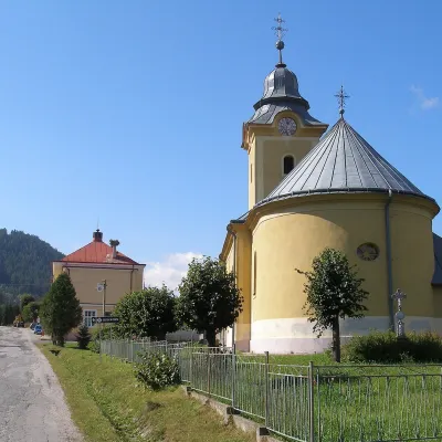
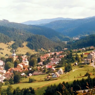
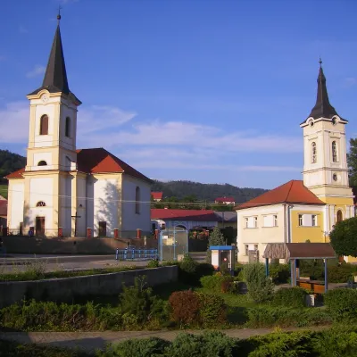
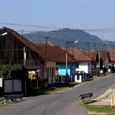
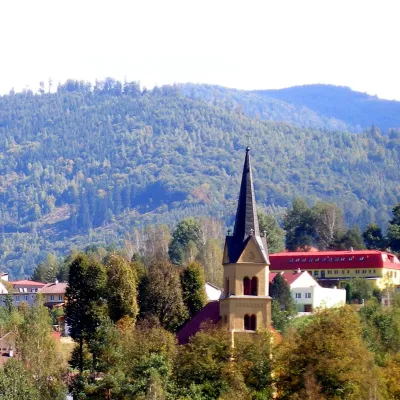
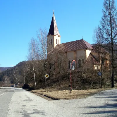
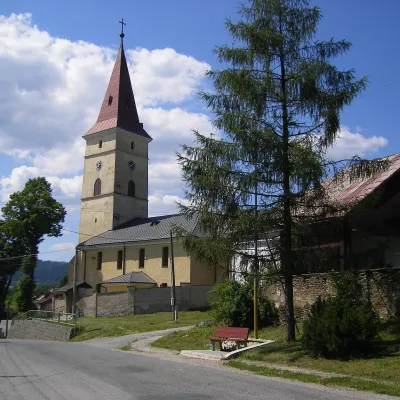
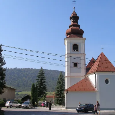
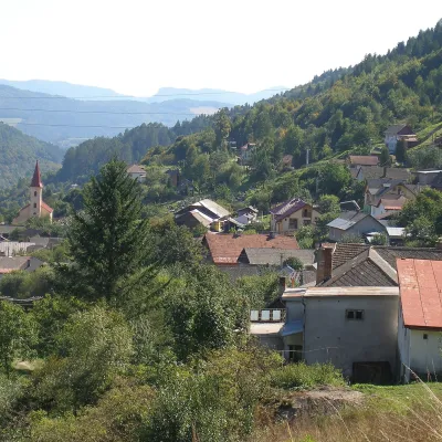
Photos: Margecany (Mgr.Ing. Jozef Kotulič, CC BY-SA 3.0); Gelnica (Investigatio, CC BY-SA 3.0); Kojšov (Ing.Mgr.Jozef Kotulič, CC BY-SA 3.0); Úhorná (Ing.Mgr.Jozef Kotulič, CC BY-SA 3.0); Kluknava (Ing.Mgr.Jozef Kotulič, CC BY-SA 3.0)
Gelnica District is an administrative unit in Slovakia (Košice Region). On the site here: 29 trails, 2 peaks, 1 sight, 1 mountain hut or shelter, 14 settlements.
Facts: Wikidata, OpenStreetMap.
Towns and villages

Getting there from Ukraine
Border crossings
- Uzhhorod – Vyšné Nemecké — road, 24/7
- Malyi Bereznyi – Ubľa — road, 24/7 For cars and buses; pedestrians not confirmed by the Ukrainian border service, lorries up to 3.5 t.
- Mali Selmentsi – Veľké Slemence (pedestrian) — pedestrian, 09:00–21:00 Kyiv time Pedestrians and cyclists only; inconvenient for the Tatras without onward transport.
- Chop – Čierna nad Tisou (rail) — rail, 24/7
By car
From Uzhhorod ≈182 km, ≈2 h 45 min without queues: Uzhhorod – Vyšné Nemecké → I/19 via Sobrance and Michalovce to Košice → D1 motorway via Prešov to the exit near Levoča → road 533 to Spišská Nová Ves (≈177 km, ≈2 h 30 min from the border). From Lviv via Uzhok and Ubľa ≈407 km, ≈6 h 40 min; through Poland (Kraków – Nowy Targ) ≈496 km, ≈6 h 20 min. The D1 requires an e-vignette (eznamka.sk).
Checked 23.10.2026; border crossing hours and timetables change — check before you travel.
