Richnava
Photos: Ing.Mgr.Jozef Kotulič, CC BY-SA 3.0 (Wikimedia Commons); I would appreciate being notified if you use my work outside Wikimedia. More of my work can be found in my personal g…, CC BY-SA 4.0 (Wikimedia Commons); Ingo Mehling, CC BY-SA 4.0 (Wikimedia Commons)
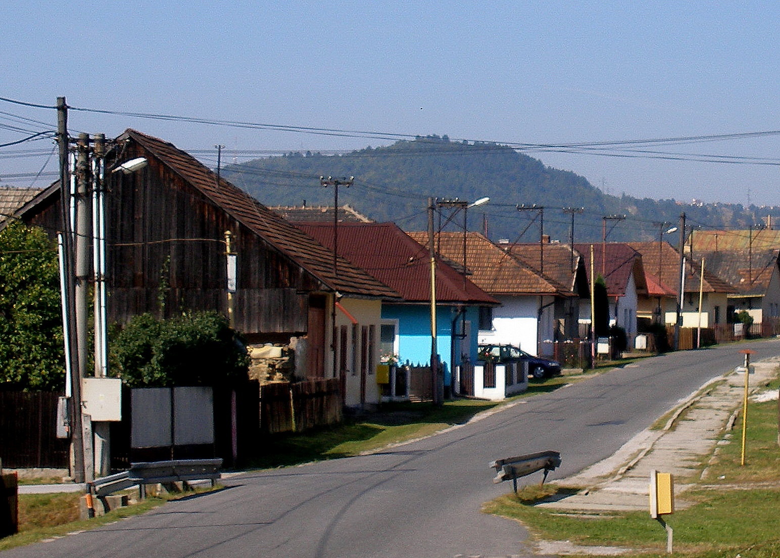
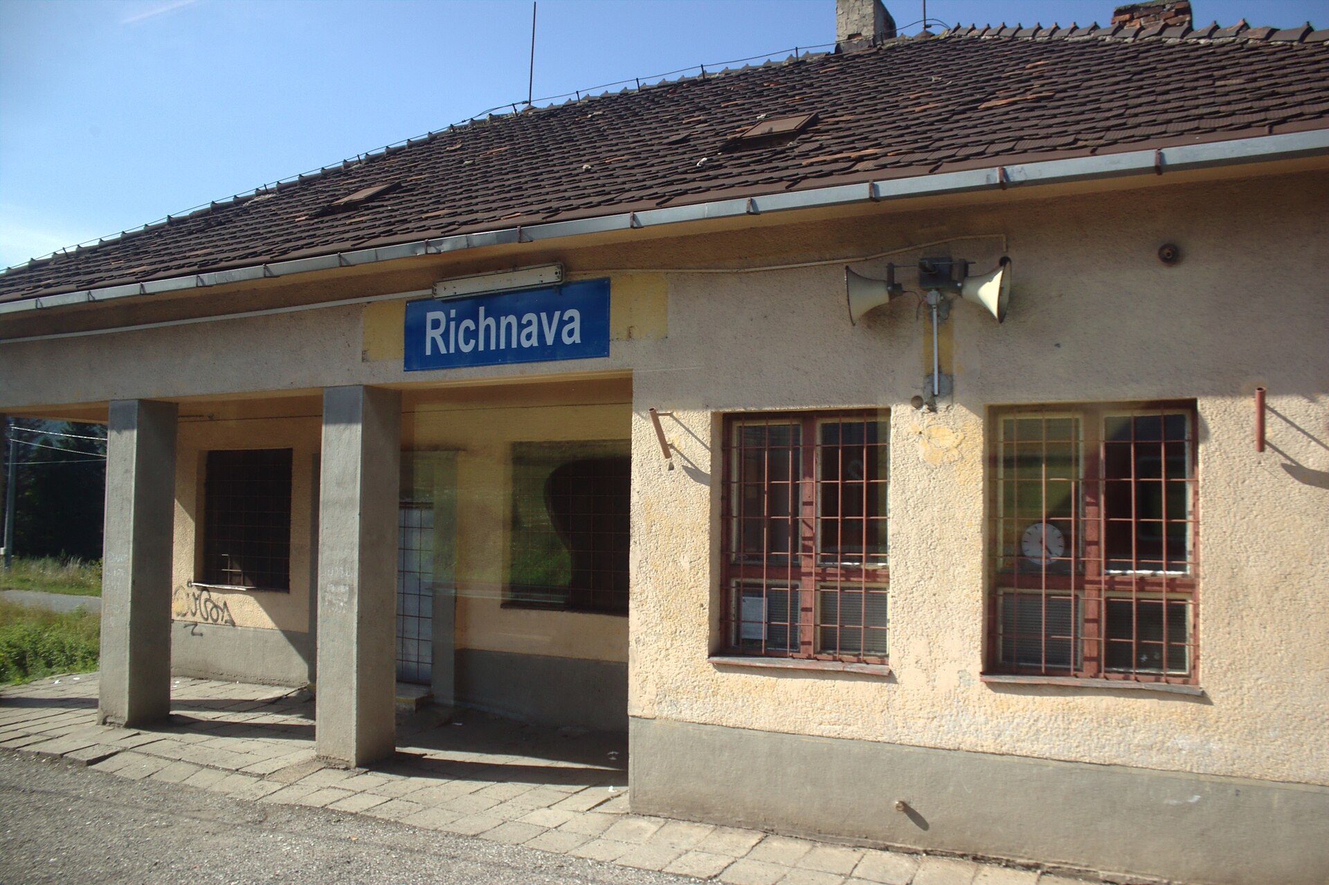
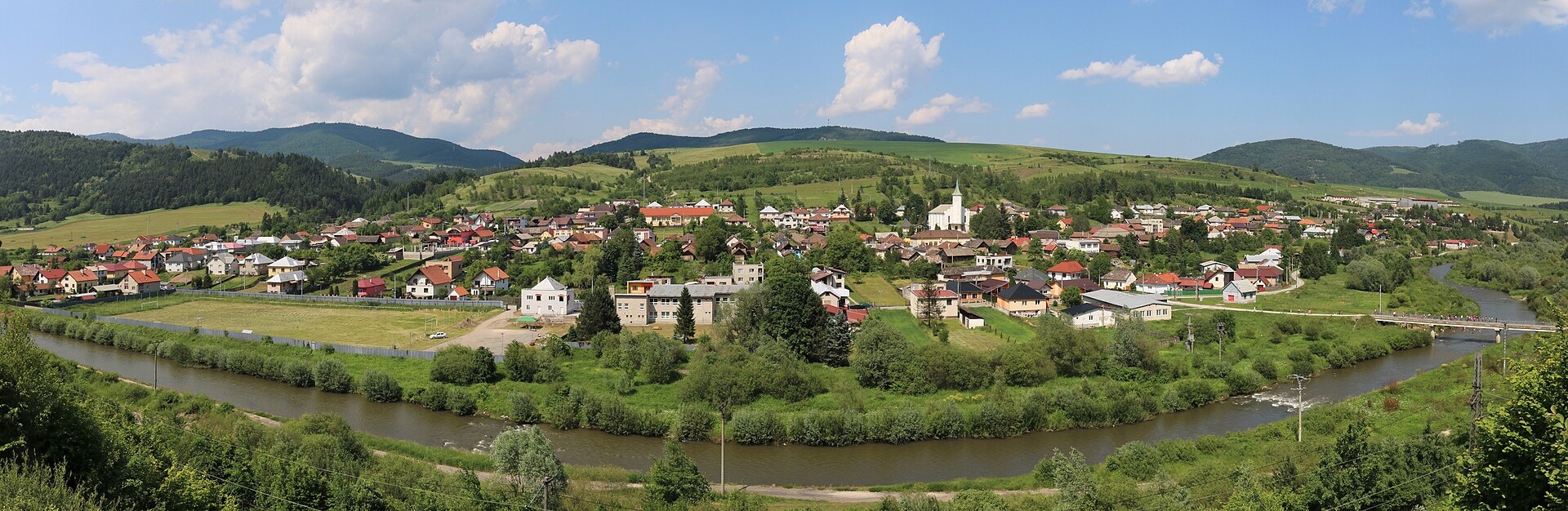
Richnava is a village in Slovakia.
Elevation: about 370 m above sea level. Population: 3,634 (2025). Mountains nearby: Slovak Paradise.
Here and nearby on the site: 2 trails.
Facts: Wikidata, OpenStreetMap. More on Wikipedia
What's nearby
Trails nearby
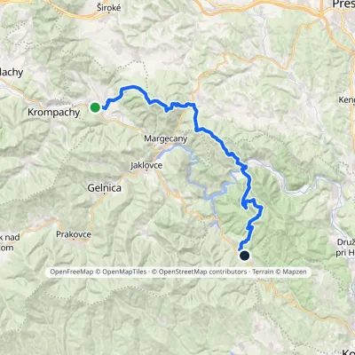
All trails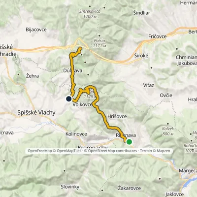 HardTwo-dayMarkedRichnava, stop SľubicaElevation profile352–1 129 m20.5 kmascent 1 420 m≈ 8 h walkingunder 1 km from the centre
 HardMulti-dayMarkedRichnava, stop Košická BeláElevation profile277–1 028 m35.9 kmascent 1 446 m≈ 12 h walkingunder 1 km from the centre
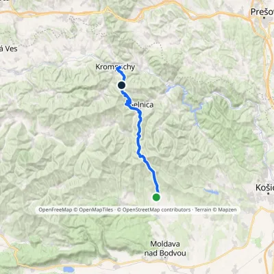 HardMulti-dayMarkedKrompachy, station PopročElevation profile356–1 130 m33.4 kmascent 1 896 m≈ 12 h walking2.6 km from the centre
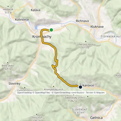 EasyOne-dayMarkedKrompachy, station ŽakarovceElevation profile373–888 m8.6 kmascent 515 m≈ 3 h walking2.7 km from the centre
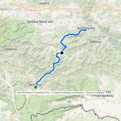 HardMulti-dayMarkedKrompachy, Central Orientation RožňavaElevation profile306–1 318 m55.4 kmascent 3 523 m3.6 km from the centre
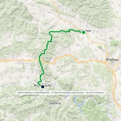 HardMulti-dayMarkedSabinov Krompachyvia Branisko PassElevation profile321–1 129 m48.9 kmascent 1 967 m3.6 km from the centre
Peaks nearby
All peaks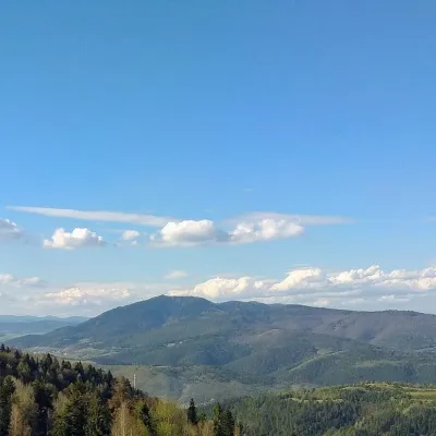 PeakSľubicaSlatvinaaltitude 1 129 m6.4 km from the centreSľubica is a 1129 m summit in the Branisko mountains of eastern Slovakia, the third highest of the range and the highest in its southern part, which bears the same name.
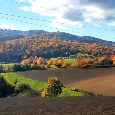 PeakRoháčkaMargecanyaltitude 1 028 m6.7 km from the centreRoháčka is the highest summit of the Čierna hora hills, one of the units of the Slovak Ore Mountains in eastern Slovakia.
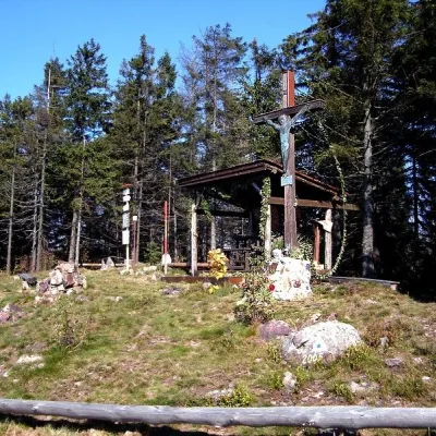 PeakSmrekovica (Branisko)Vyšný Slavkovaltitude 1 200 m14 km from the centreSmrekovica is the highest peak of the Branisko Mountains in eastern Slovakia, 1200 m high (1199.9 m to be exact).
What to visit
All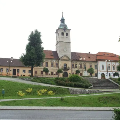 MuseumMining Museum in Gelnica and the Jozef AditGelnica8.4 km from the centreThe Mining Museum in Gelnica (Banícke múzeum v Gelnici) is the town museum of an old mining town in the Hnilec valley, among the Volovské vrchy, part of the Slovak Ore...
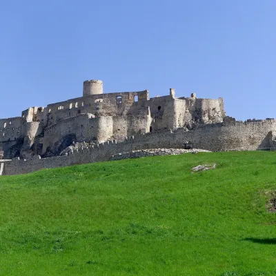 CastleSpiš CastleŽehra14 km from the centreA castle visible for dozens of kilometres Spiš Castle (Spišský hrad) is the ruin of a vast castle on top of a 634 m travertine rock that rises 200 m above the Spiš basin.
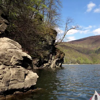 LakeRužín reservoir on the HornádMalá Lodina14 km from the centreRužín is a reservoir on the Hornád river in the deep, winding valley of the Čierna hora hills, the north-eastern part of the Slovak Ore Mountains, a dozen or so...
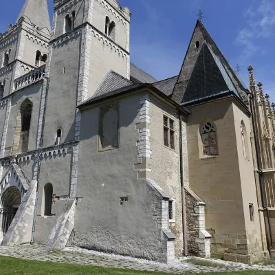 ChurchSpišská Kapitula and St Martin’s CathedralSpišská Kapitula16 km from the centreSpišská Kapitula is an ancient church town on St Martin’s Hill, directly opposite Spiš Castle. It is often called the ‘Slovak Vatican’.
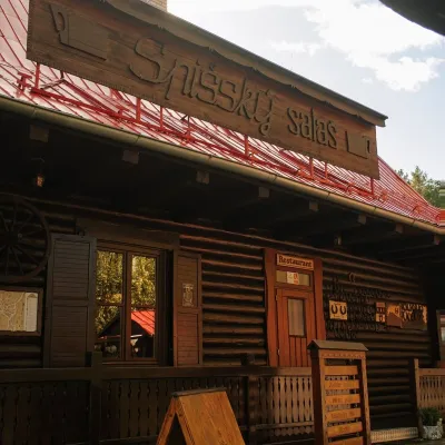 Koliby & Hutsul cuisineSpišský salaš below Spiš Castle: Spiš cooking since 1964Spišská Kapitula16 km from the centreBetween Spiš Castle and Spišská Kapitula, at the edge of the plain below the travertine mound of Sivá brada, stands the wooden Spišský salaš.
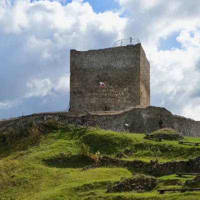 CastleŠariš Castle near PrešovVeľký Šariš23 km from the centreŠariš Castle (Šarišský hrad) is one of the largest medieval fortresses in Slovakia: its built-up area exceeds 2.7 ha.
Craft nearby
All craft places
Spas and thermal pools nearby
Huts, shelters and springs nearby
Getting there from Ukraine
Border crossings
- Uzhhorod – Vyšné Nemecké — road, 24/7
- Malyi Bereznyi – Ubľa — road, 24/7 For cars and buses; pedestrians not confirmed by the Ukrainian border service, lorries up to 3.5 t.
- Mali Selmentsi – Veľké Slemence (pedestrian) — pedestrian, 09:00–21:00 Kyiv time Pedestrians and cyclists only; inconvenient for the Tatras without onward transport.
- Chop – Čierna nad Tisou (rail) — rail, 24/7
By car
From Uzhhorod ≈182 km, ≈2 h 45 min without queues: Uzhhorod – Vyšné Nemecké → I/19 via Sobrance and Michalovce to Košice → D1 motorway via Prešov to the exit near Levoča → road 533 to Spišská Nová Ves (≈177 km, ≈2 h 30 min from the border). From Lviv via Uzhok and Ubľa ≈407 km, ≈6 h 40 min; through Poland (Kraków – Nowy Targ) ≈496 km, ≈6 h 20 min. The D1 requires an e-vignette (eznamka.sk).
Checked 23.10.2026; border crossing hours and timetables change — check before you travel.
