Sabinov — Krompachy, via Branisko Pass
Trail map
Route, springs and shelters: © OpenStreetMap contributors (ODbL) · elevation: Copernicus DEM © DLR e.V., © Airbus DS · Data & licences
About the trail
Route Sabinov – Branisko Pass – Krompachy. Has green marking (regional route №5704, KST). Waymarking data: OpenStreetMap (© OpenStreetMap contributors, ODbL).
Officially marked regional tourist route No. 5704. The marking is green, the sign is a horizontal stripe on a white background. Marked and maintained by: KST. Length of the route — 48.9 km. Location: mountain range — Slovak Paradise, Slovakia.
At a glance
A multi-day route of 48.9 km with 1,967 m of ascent from Sabinov to Krompachy. Estimated time: 2 days of 7–8 h of walking (about 15.5 h in total, not counting stops). Difficulty: hard. Waymarking: green.
Route stages
- 0–18 kmClimb of 730 m to Javor (932 m)
- 18–32 kmGentle ups and downs at 740–1,090 m, past Bachureň
- 32–38 kmClimb of 360 m to Sľubica (1,129 m)
- 38–42 kmDescent of 560 m (down to 550 m)
- 42–49 kmGentle ups and downs at 370–590 m
Steepest kilometre: km 39–40, a descent of 240 m (≈24%).
Water and overnight stays
Springs near the trail: at km 1, 2, 7, 10, 13, 17, 20, 21, 25 and 26 etc.. There are no springs between km 32 and 41 — carry at least 2 l of water.
Huts and shelters near the trail: Kohút Hut (km 7), Útulňa na Kamennej (km 9), Hut on Zákrute (km 25), Hut on Kravcová (km 27).
A possible split into days:
- Day 1: km 0–25, ≈8 h — overnight: Hut on Zákrute (hut)
- Day 2: km 25–49, ≈7.5 h — finish
When to go
Best time: May to October. In winter deep snow is possible, so experience and winter gear are needed.
Getting there
Start: Sabinov. This is a one-way route: the finish is 26 km from the start in a straight line, so plan your way back in advance.
FAQ
- How long does the route take?
- Estimated time: 2 days of 7–8 h of walking (about 15.5 h in total, not counting stops).
- Is there water on the route?
- Springs near the trail: at km 1, 2, 7, 10, 13, 17, 20, 21, 25 and 26 etc.. There are no springs between km 32 and 41 — carry at least 2 l of water.
- Where can I stay overnight?
- Huts and shelters near the trail: Kohút Hut (km 7), Útulňa na Kamennej (km 9), Hut on Zákrute (km 25), Hut on Kravcová (km 27). Possible overnight stops: Hut on Zákrute (km 25).
Water and shelter on the route
- Spring (Sabinov), 370 mkm 0.9 from the start · Not verified · 370 m
- Spring (Sabinov), 434 mkm 2.1 from the start · 150 m off the path · Not verified · 434 m
- Kohút Hutkm 7.3 from the start · Not verified · 696 m
- Spring below Kohút (south-west slope)km 7.3 from the start · Not verified · 692 m
- Útulňa na Kamennejkm 9.5 from the start · Not verified · 802 m
- Spring under Kamennákm 9.6 from the start · 80 m off the path · Not verified · 788 m
- Spring below Stavenec (east slope)km 12.7 from the start · 60 m off the path · Not verified · 742 m
- Spring below Javorkm 17.1 from the start · Not verified · 977 m
- Spring under Magura, 1 005 mkm 19.7 from the start · Not verified · 1 005 m
- Spring below Magura (south-east slope), 927 mkm 20.6 from the start · Not verified · 927 m
- Spring below Bučiekm 21.3 from the start · 220 m off the path · Not verified · 795 m
- Hut on Zákrutekm 24.5 from the start · Not verified · 777 m
- Spring below Veľká skala (east slope), 831 mkm 25 from the start · Not verified · 831 m
- Spring below Kravcovákm 26.4 from the start · 190 m off the path · Not verified · 938 m
- Hut on Kravcovákm 27 from the start · 110 m off the path · Not verified · 1 034 m
- Tap at the Crossroads, 782 mkm 31.8 from the start · 250 m off the path · Not verified · 782 m
- Kvašná voda Spring, 627 mkm 40.9 from the start · Not verified · 627 m
- Kvašná voda Spring, 536 mkm 41.9 from the start · Not verified · 536 m
Comments
Trails nearby
All trails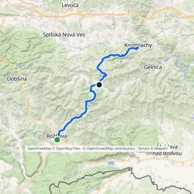 HardMulti-dayMarkedKrompachy, Central Orientation RožňavaElevation profile306–1 318 m55.4 kmascent 3 523 m
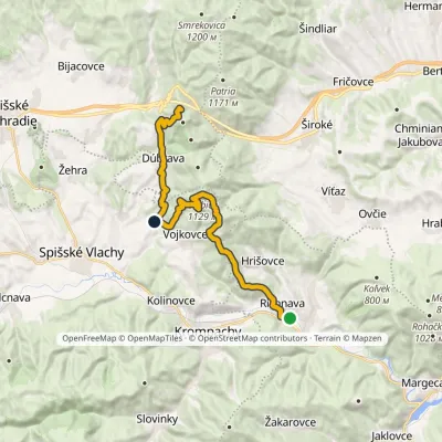 HardTwo-dayMarkedRichnava, stop SľubicaElevation profile352–1 129 m20.5 kmascent 1 420 m≈ 8 h walking
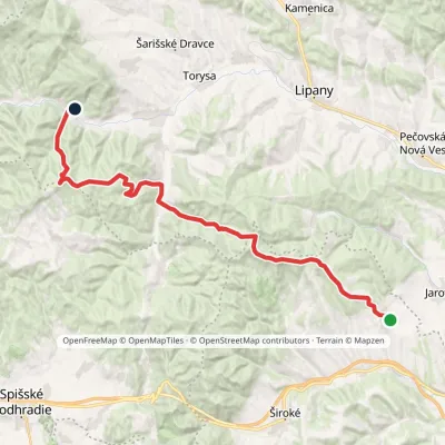 HardMulti-dayMarkedTichý Potok HermanovceElevation profile462–1 024 m29.5 kmascent 1 132 m≈ 9.5 h walking
Craft nearby
All craft places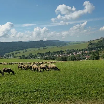 Cheese dairies & pasturesFarma Kamenica — Family Sheep Farm and Cheese Dairy in ŠarišKamenica15 km from the trailKamenica is a village in northern Šariš, in the valley of the Kameničanka stream, at about 483 m above sea level.
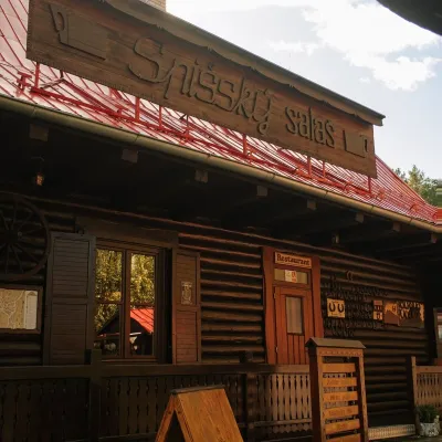 Koliby & Hutsul cuisineSpišský salaš below Spiš Castle: Spiš cooking since 1964Spišská Kapitula28 km from the trailBetween Spiš Castle and Spišská Kapitula, at the edge of the plain below the travertine mound of Sivá brada, stands the wooden Spišský salaš.
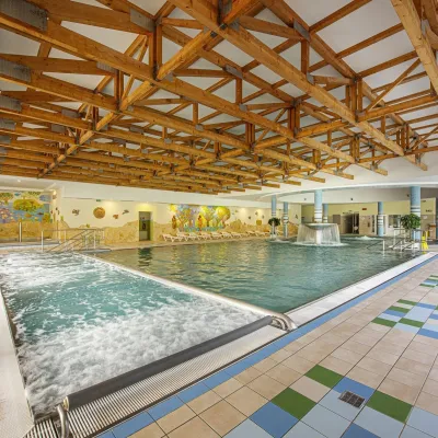 Water parks & thermal poolsBardejovské Kúpele: Wellness Spa Ozón and summer poolBardejov28 km from the trailBardejovské Kúpele is one of Slovakia’s oldest spas, a part of the town of Bardejov about 5 km from its centre, in a valley under the Magura massif that shelters it...
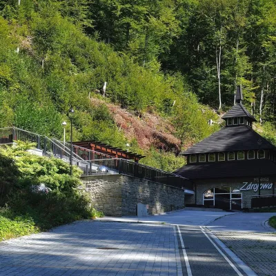 Water parks & thermal poolsŻegiestów-Zdrój spa: the Anna pump room and the Spa HouseŻegiestów35 km from the trailŻegiestów-Zdrój is a small spa in the narrow Poprad valley in the Beskid Sądecki, a kilometre and a half from the village of Żegiestów and a few kilometres from Muszyna.
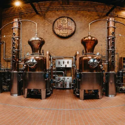 Craft producersSpišská Pálenica, Stará Ľubovňa: distillery tour and Spiš borovičkaStará Ľubovňa36 km from the trailSpiš boasts perhaps the oldest history of distilling in Europe: at the hillfort of Myšia Hôrka near Spišský Štvrtok, part of a distillation vessel from around 1500 BC...
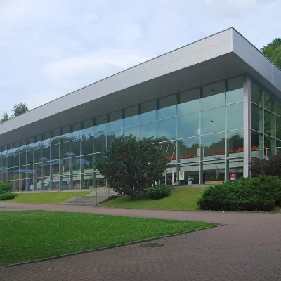 Water parks & thermal poolsKrynica-Zdrój pump rooms: tasting the mineral watersKrynica-Zdrój36 km from the trailKrynica-Zdrój grew up around its mineral springs, and the best way to feel the spa is to walk round its pump rooms and taste the local waters.
