Smrekovica (Branisko)
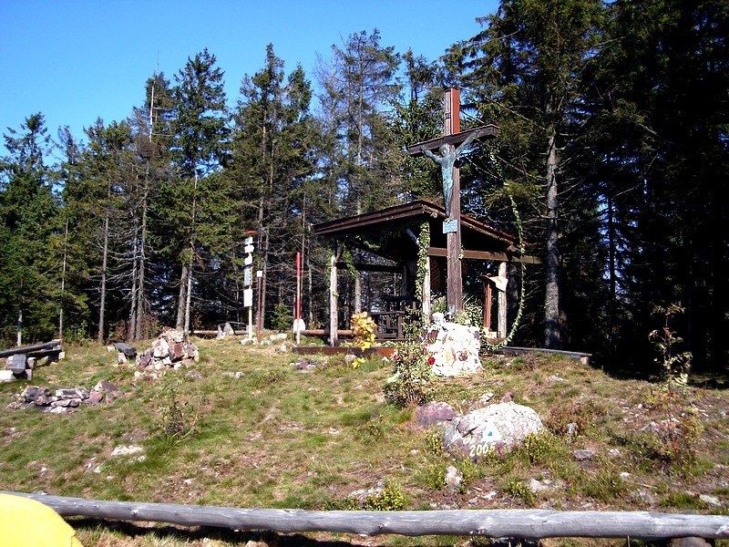
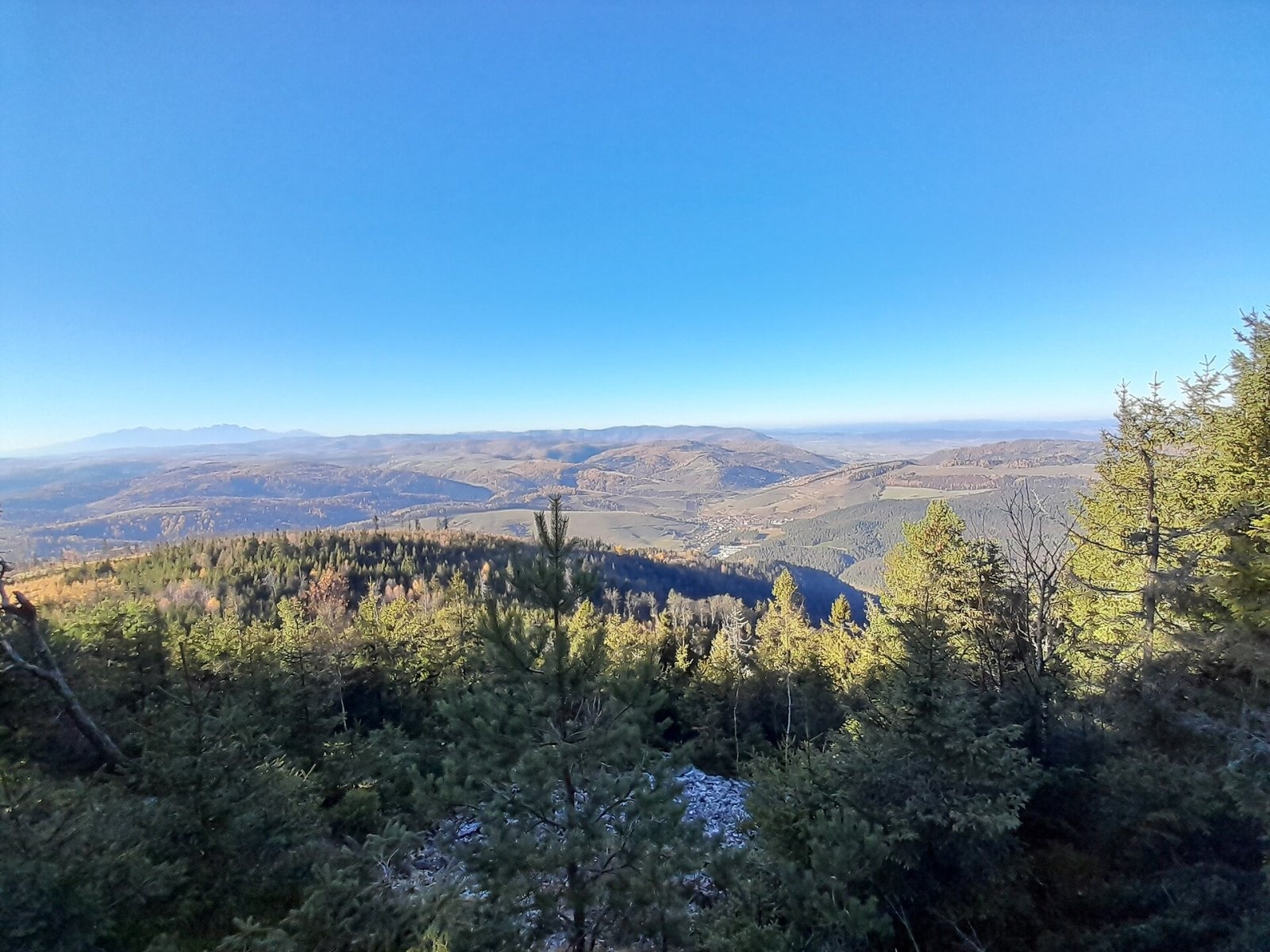
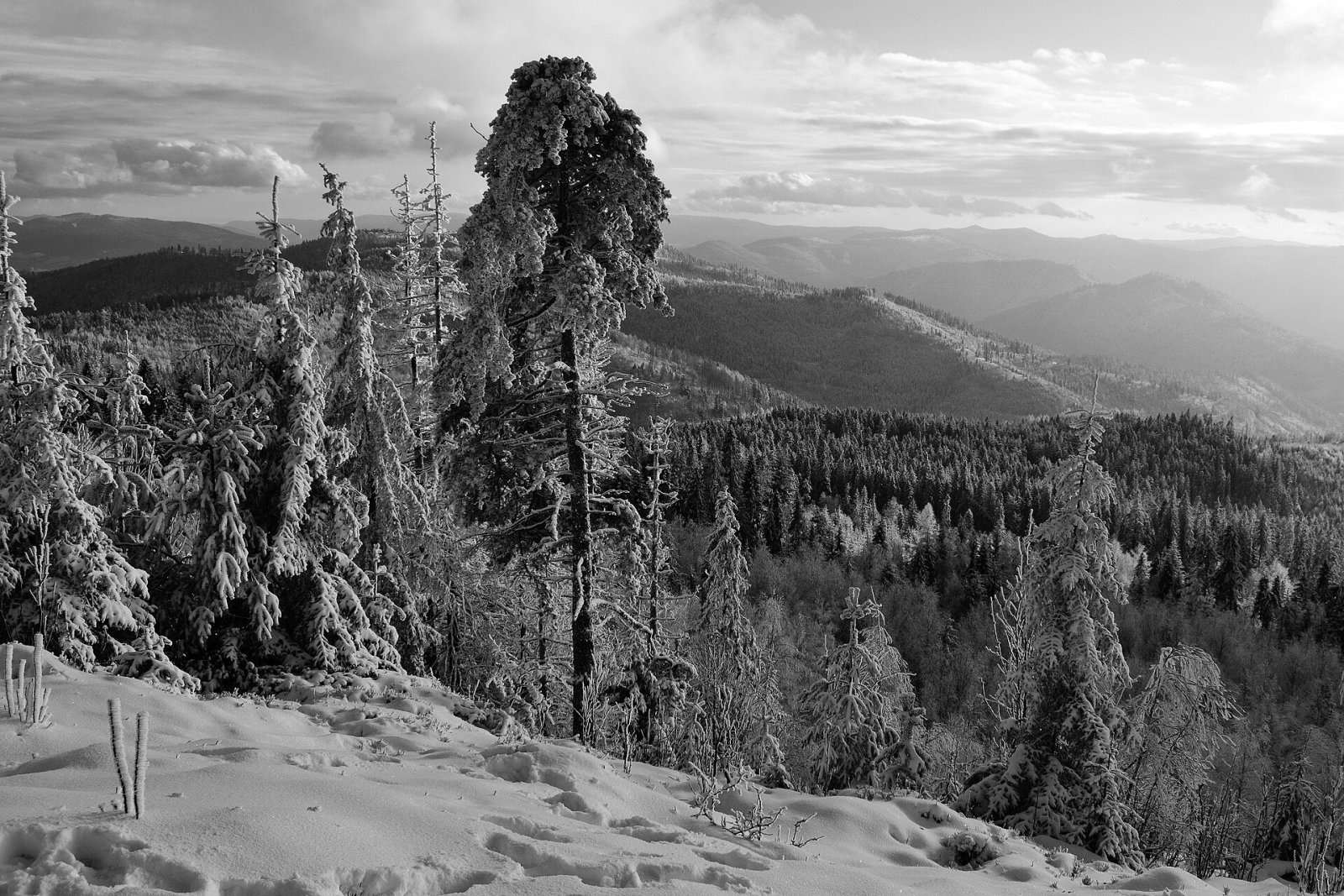
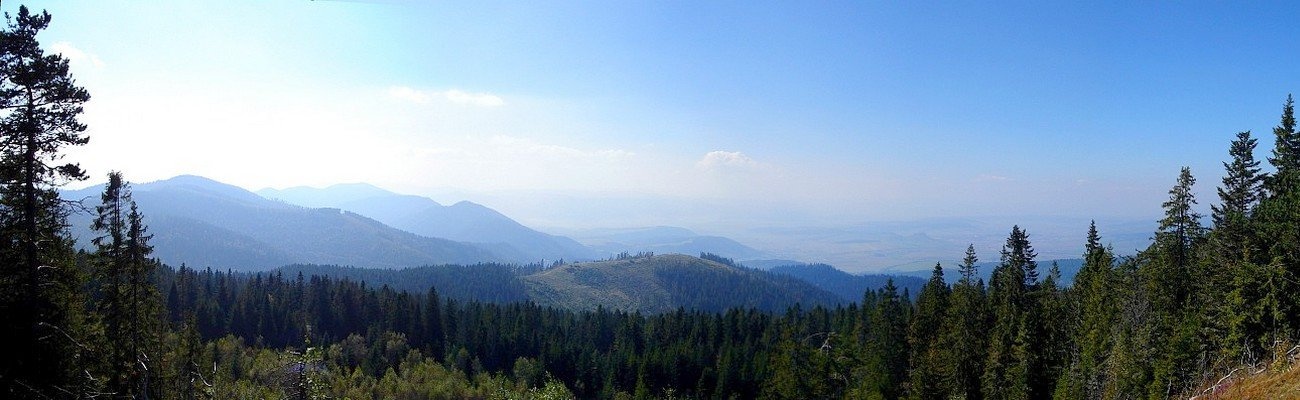
Smrekovica is the highest peak of the Branisko Mountains in eastern Slovakia, 1200 m high (1199.9 m to be exact). It stands in the northern part of the range above the villages of Poľanovce and Vyšný Slavkov, about 9–10 km north-east of Spišské Podhradie, in Levoča District of the Prešov Region. Its prominence is about 423 m. Around it lie Vyšný and Nižný Slavkov to the north, Poľanovce, Pongrácovce and Bijacovce to the south-west, Široké to the south-east, and Šindliar, Lipovce and Lačnov to the east.
Branisko is a separate mountain unit of the Fatra-Tatra area, about 18 km long and running north–south. It borders Bachureň to the north, the Šariš Highlands to the east, the Levoča Mountains to the west and the Hornád Basin to the south-west. The Chvalabohu saddle in the Branisko pass divides the mountains into two parts: the northern, more massive Smrekovica with its namesake summit and the southern Sľubica (1129.4 m). Smrekovica lies on the main ridge between the Branisko pass and Kravcová (1036 m). To the south you see Patria (1171 m) and Rudník (1025 m), to the east Nad Bučom (1105 m) and to the west Petrova hora (1046 m).
How to get there / routes
- From Vyšný Slavkov – on the yellow trail from the north-west via Petrova hora.
- From the Branisko pass – on the blue trail from the south; before the Smrekovica saddle a side path marked with triangles branches off to the summit. According to Polish sources it is about 2 hours from the pass.
- From Lipovce – on the blue trail from the east via Kravcová, from where you can also reach the summit on the yellow trail.
The Branisko pass (750.6 m) can be reached by car on the old I/18 road from Široké or Beharovce. The Marian pilgrim route also passes close to the summit, and a green trail runs along the whole range from Krompachy to Sabinov.
What you can see from the summit
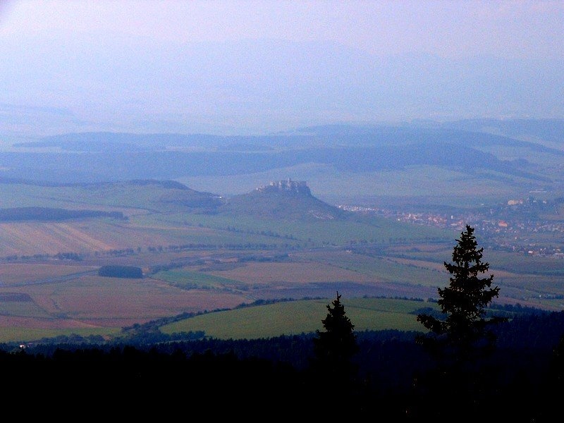
The summit area is only partly wooded, so the views are interesting. From open spots you can see the neighbouring peaks of Branisko, the Levoča Mountains, Bachureň, Čierna hora and the Volovec Mountains, and below you the Spiš region with the silhouette of Spiš Castle. In ideal conditions the Slanské vrchy, the Kráľova hoľa Tatras with Kráľova hoľa and even the High Tatras appear. The summit has a cross and a summit register.
Nature and history
The northern part of Branisko is built of migmatites and granitoids of the so-called Patria complex, overlain by Mesozoic limestones and dolomites. New knowledge gained while building the Branisko tunnel suggests that the whole range probably belongs to the Veporic unit. Water from the southern slopes of Smrekovica flows via the Svinka to the Hornád, from the northern slopes via the Antalov stream to the Torysa. Mineral springs rise along the marginal faults of the range, the best known being Salvator.
The higher parts of the mountains are dominated by coniferous, mainly pine forest with spruce and larch, which lower down gives way to mixed lime-oak and oak-hornbeam woods. Snow lies for 80–120 days a year and the average July temperature is only 15.5–17 °C.
The Branisko pass has long separated the historic regions of Spiš and Šariš. In 1849 Slovak volunteers fought Hungarian honvéd troops here. In 2003 the Branisko tunnel on the D1 motorway opened beneath the mountains – the longest motorway tunnel in Slovakia – so most traffic now passes under the range, leaving the ridge quiet.
Safety, season and rules
The climb to Smrekovica follows forest paths with no rocky sections and suits most walkers. There are several springs near the summit: Svinka (about 700 m), the Veľká Svinka spring and Biela voda (within 1 km) and Jánošíkova studňa (about 1.7 km). In winter the slopes are snowbound and the road to the pass can be slippery. In Slovakia, mountain help comes from the Mountain Rescue Service HZS: 18 300 (+421 18 300) or 112.
Interesting facts
- Locals call the saddle in the Branisko pass Chvalabohu – Thank God.
- Spiš Castle, one of the largest castle complexes in Central Europe, is clearly visible from the summit.
- The longest motorway tunnel in Slovakia runs beneath Smrekovica’s range.
Photos: Dusan Bajus, CC BY 3.0; NyoSVK, CC BY-SA 4.0; Ludmik, CC BY-SA 4.0; Dusan Bajus, CC BY 3.0; Dusan Bajus, CC BY 3.0 — Wikimedia Commons.
Getting there from Ukraine
Border crossings
- Uzhhorod – Vyšné Nemecké — road, 24/7
- Malyi Bereznyi – Ubľa — road, 24/7 For cars and buses; pedestrians not confirmed by the Ukrainian border service, lorries up to 3.5 t.
- Mali Selmentsi – Veľké Slemence (pedestrian) — pedestrian, 09:00–21:00 Kyiv time Pedestrians and cyclists only; inconvenient for the Tatras without onward transport.
- Chop – Čierna nad Tisou (rail) — rail, 24/7
By car
From Uzhhorod ≈182 km, ≈2 h 45 min without queues: Uzhhorod – Vyšné Nemecké → I/19 via Sobrance and Michalovce to Košice → D1 motorway via Prešov to the exit near Levoča → road 533 to Spišská Nová Ves (≈177 km, ≈2 h 30 min from the border). From Lviv via Uzhok and Ubľa ≈407 km, ≈6 h 40 min; through Poland (Kraków – Nowy Targ) ≈496 km, ≈6 h 20 min. The D1 requires an e-vignette (eznamka.sk).
Checked 23.10.2026; border crossing hours and timetables change — check before you travel.
Location on the map
Water and shelter nearby
- Vresovianka Hut10 m · Not verified · 1 185 m
- Spring below Smrekovica (south-west slope), 1 022 m630 m · Not verified · 1 022 m
- Svinka Spring720 m · Not verified · 1 022 m
- Veľkej Svinky Spring790 m · Not verified · 986 m
- Biela voda Spring990 m · Not verified · 1 025 m
- Hut below Príkre1.2 km · Not verified · 934 m
- Hut on Kravcová1.5 km · Not verified · 1 034 m
- Jánošiková Spring1.7 km · Not verified · 744 m
- Spring below Kravcová1.9 km · Not verified · 938 m
- Spring below Veľká skala (east slope), 831 m2.2 km · Not verified · 831 m
- Tap at the Crossroads, 782 m2.5 km · Not verified · 782 m
- Hut on Zákrute2.6 km · Not verified · 777 m
- Spring below Homôľka (south-east slope)2.8 km · Not verified · 591 m
- Spring below Homôľka (east slope)2.9 km · Not verified · 571 m
Comments
Trails nearby
All trails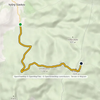 EasyOne-dayMarkedVyšný Slavkov, quarry Pod KravcovouElevation profile589–1 200 m6.5 kmascent 611 m≈ 3 h walkingunder 1 km from Smrekovica (Branisko)
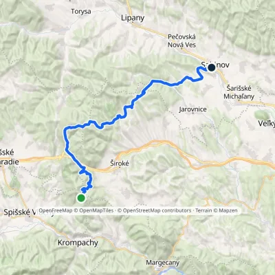 HardMulti-dayMarkedSabinov Branisko PassElevation profile320–1 098 m39.3 kmascent 1 046 m≈ 12 h walkingunder 1 km from Smrekovica (Branisko)
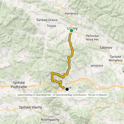 HardMulti-dayMarkedLipany ŠirokéElevation profile379–1 171 m31 kmascent 1 337 m≈ 10.5 h walking1 km from Smrekovica (Branisko)
Nearby attractions
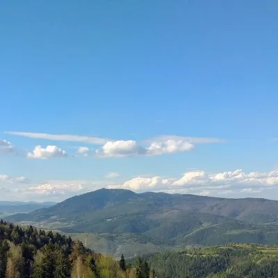 PeakSľubicaSlatvinaaltitude 1 129 m8.1 km from Smrekovica (Branisko)Sľubica is a 1129 m summit in the Branisko mountains of eastern Slovakia, the third highest of the range and the highest in its southern part, which bears the same name.
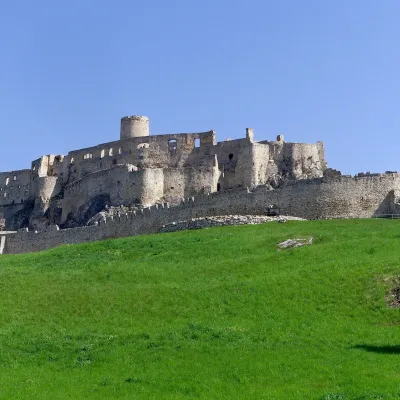 CastleSpiš CastleŽehra9.1 km from Smrekovica (Branisko)A castle visible for dozens of kilometres Spiš Castle (Spišský hrad) is the ruin of a vast castle on top of a 634 m travertine rock that rises 200 m above the Spiš basin.
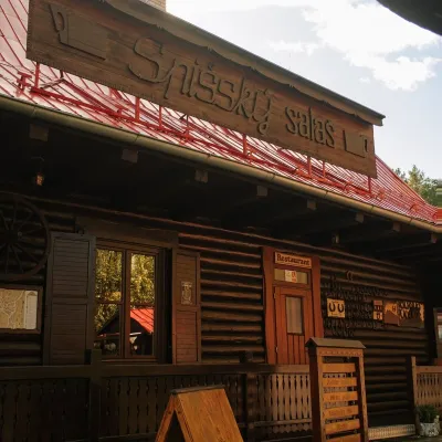 Koliby & Hutsul cuisineSpišský salaš below Spiš Castle: Spiš cooking since 1964Spišská Kapitula11 km from Smrekovica (Branisko)Between Spiš Castle and Spišská Kapitula, at the edge of the plain below the travertine mound of Sivá brada, stands the wooden Spišský salaš.
Craft nearby
All craft places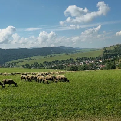 Cheese dairies & pasturesFarma Kamenica — Family Sheep Farm and Cheese Dairy in ŠarišKamenica18 km from Smrekovica (Branisko)Kamenica is a village in northern Šariš, in the valley of the Kameničanka stream, at about 483 m above sea level.
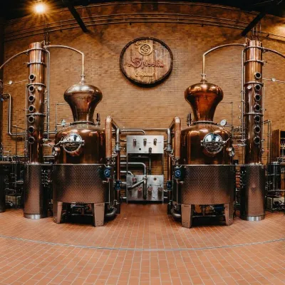 Craft producersSpišská Pálenica, Stará Ľubovňa: distillery tour and Spiš borovičkaStará Ľubovňa31 km from Smrekovica (Branisko)Spiš boasts perhaps the oldest history of distilling in Europe: at the hillfort of Myšia Hôrka near Spišský Štvrtok, part of a distillation vessel from around 1500 BC...
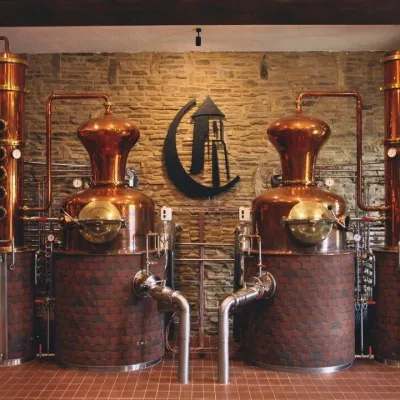 Craft producersCastle Distillery below Ľubovňa Castle: fruit spirits and tastingsStará Ľubovňa33 km from Smrekovica (Branisko)Stará Ľubovňa is a town in northern Spiš, overlooked by Ľubovňa Castle. For more than three and a half centuries Ľubovňa was one of the Spiš towns pledged to the...
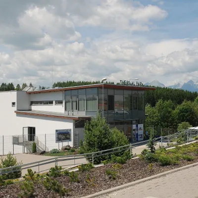 Water parks & thermal poolsThermal Park VrbovVrbov33 km from Smrekovica (Branisko)Thermal Park Vrbov is one of the best-known thermal baths in the Spiš region, on the southern edge of the village of Vrbov, about 6 km (as the crow flies) from...
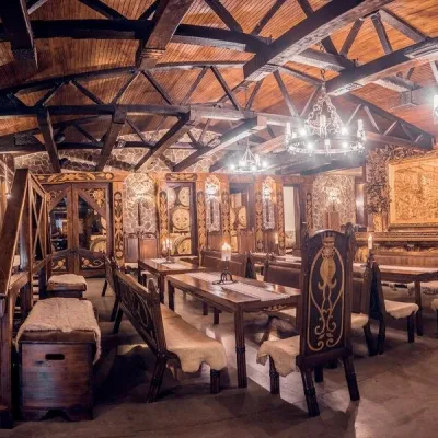 Craft producersNestville Distillery, Hniezdne — Home of the First Slovak WhiskyHniezdne33 km from Smrekovica (Branisko)This tradition is the basis for BGV, a company founded in 2001, which built the Nestville Distillery here.
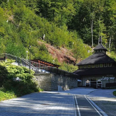 Water parks & thermal poolsŻegiestów-Zdrój spa: the Anna pump room and the Spa HouseŻegiestów36 km from Smrekovica (Branisko)Żegiestów-Zdrój is a small spa in the narrow Poprad valley in the Beskid Sądecki, a kilometre and a half from the village of Żegiestów and a few kilometres from Muszyna.
