Ružín reservoir on the Hornád
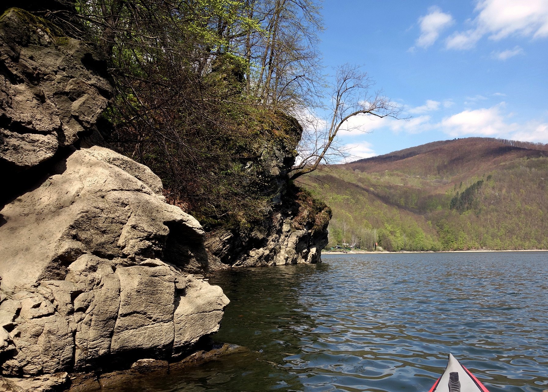
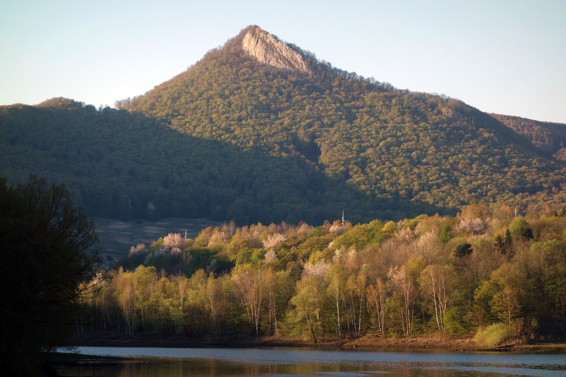
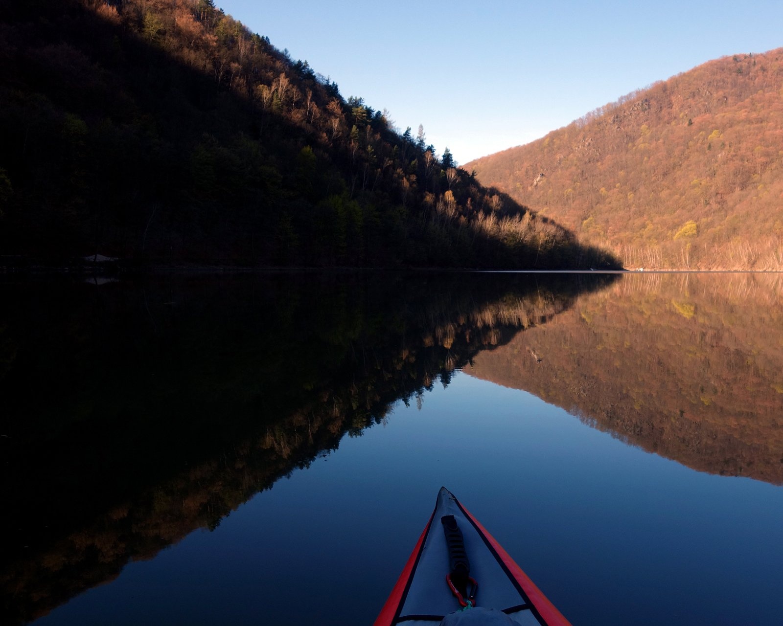
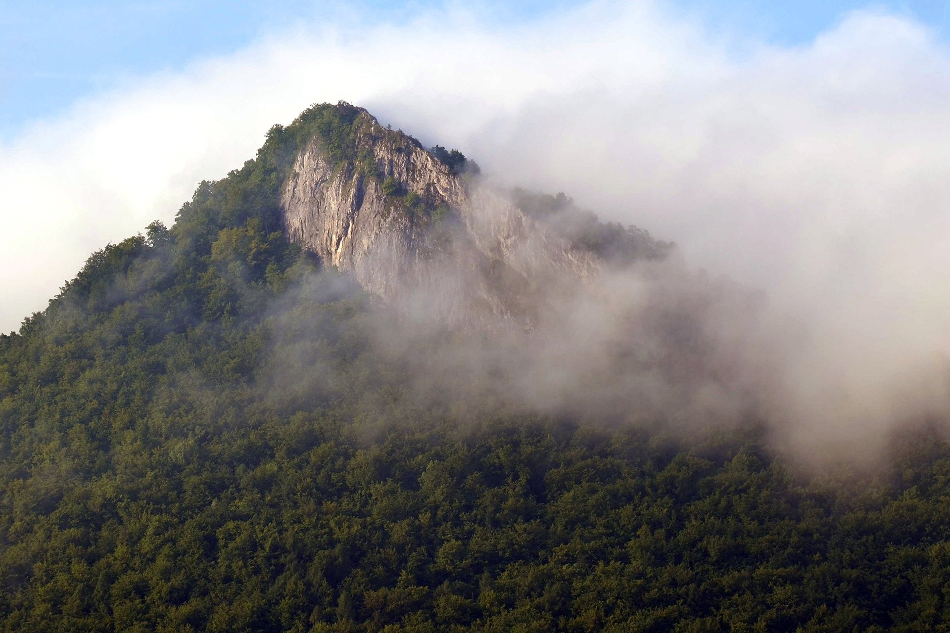
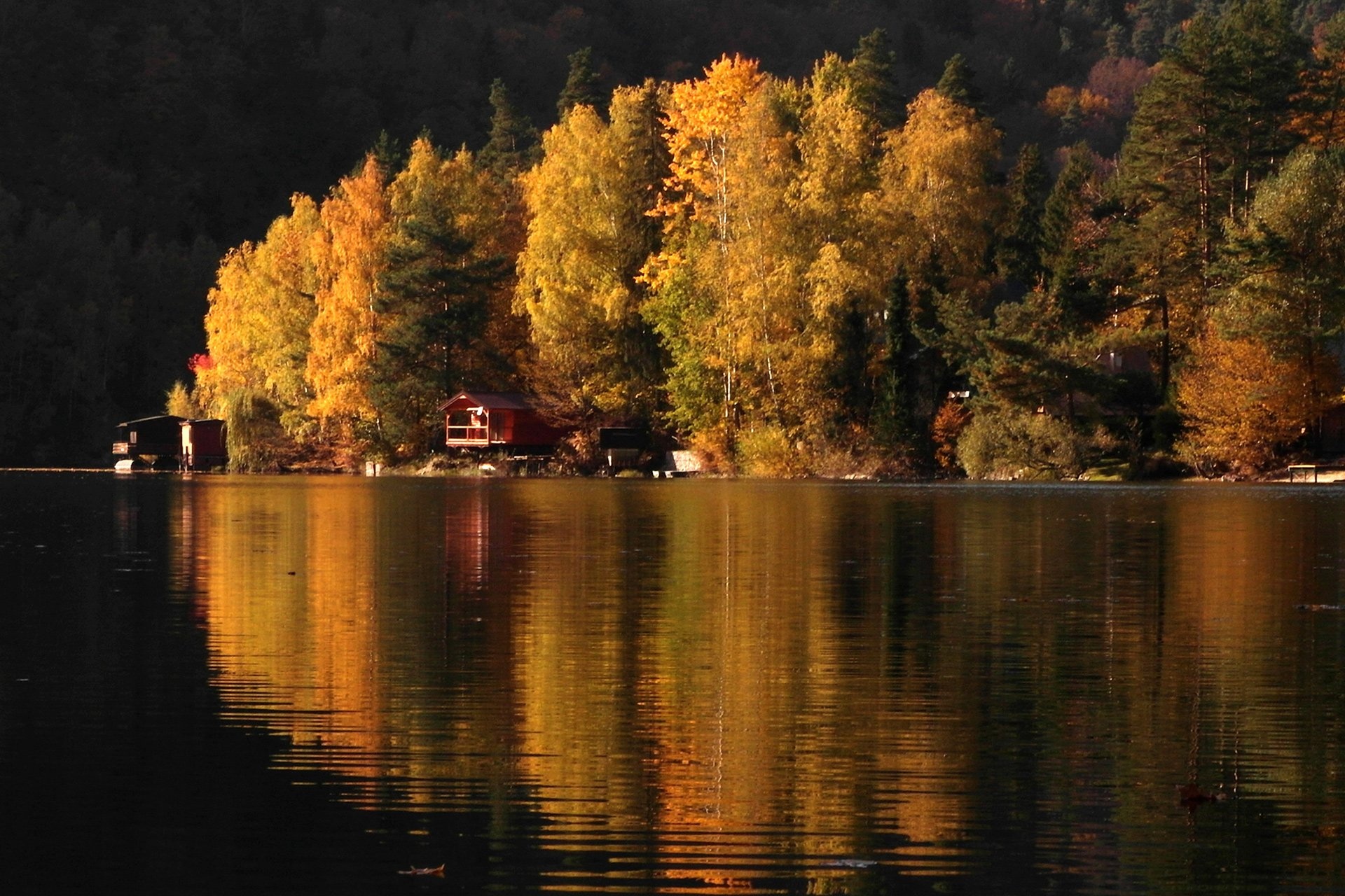
Ružín is a reservoir on the Hornád river in the deep, winding valley of the Čierna hora hills, the north-eastern part of the Slovak Ore Mountains, a dozen or so kilometres north-west of Košice. It is named after the flooded village of Ružín and consists of two stages: the main Ružín I reservoir (about 3.9 km², 45.3 million m³, backing up for about 14 km and 50–150 m wide) and the lower Ružín II balancing reservoir. Besides the Hornád, the Hnilec, the Belá and many brooks flow into it. The banks are mostly rocky and steep, covered with broadleaved forest; from the water you can see the peaks of Šľuchta (781 m), Bujanov (757 m), Bradlo (618 m) and Holica (641 m), and most striking of all the limestone crag of Sivec (781 m), rising about 430 m above the water.
The scheme was built in 1963–1970, and its power section went into full operation in 1973. The rock-fill dam of Ružín I is 64 m high — the highest in Slovakia — with a 330 m crest and a maximum depth of 54 m at the dam; the maximum water level is 327 m above sea level. Below the dam a power station with two reversible Francis turbines has a total output of 60 MW. The lower Ružín II stage has a 27 m high concrete dam and covers 65 ha. The system’s main purpose is to supply water to industry in Košice, even out the flow of the Hornád, generate electricity and give partial flood protection; the reservoir is also used for recreation. The villages of Ružín, Košické Hámre, Malý Folkmar, Rolová Huta and parts of Margecany and Jaklovce were flooded entirely or partly. The Ružín railway viaduct crosses the reservoir.
What to see and do
- Sivec — a limestone crag above the dam in the national nature reserve of the same name: from the top you can see Ružín I and II, Branisko, Čergov and even the High Tatras.
- Canoeing and kayaking: quiet meanders near the Kozinec settlement, rocky banks and islets; yachting and windsurfing are allowed on the whole water surface except the water-ski and bathing zones.
- Autumn colours of the broadleaved forest on the steep slopes and winter ice on the water.
- The Ružín viaduct — a railway bridge over the water, striking when seen from a boat.
Getting there
By car you reach the reservoir from the north-west via Margecany and Jaklovce (where the Hnilec joins the Hornád), from the south via Košická Belá and Veľký Folkmar, and from the east via Malá Lodina. By train — to Margecany, Margecany-zastávka (Rolová Huta) and Malá Lodina stations; there is also a Ružín stop. From the bridge over the reservoir runs the route Nováčany – Ružín Reservoir, bridge, and to Sivec Ružín – Sivec (yellow trail from the Ružín stop via the Priehyba pod Sivcom junction). A walk along the shore needs no equipment, while the climb to Sivec is a real ascent through forest and rocks.
Season and safety
The reservoir is accessible all year; the best season for boating is spring to autumn. Under the navigation rules on Ružín I, boats with combustion engines are banned except on two 1 km water-ski sections (by the railway bridge at Margecany and at Kozinec); jet skis and planing are banned from 18:00 to 10:00; fishing is not allowed at landing places; and navigation is banned within 300 m of the dam crest and at maximum or minimum water level (328 and 298 m). Do not take boats into bathing zones. Take care on the steep rocky banks. Mountain rescue number — 18 300, general emergency number — 112. As of October 2026.
Nearby
Upstream on the Hnilec lies the Palcmanská Maša reservoir in the Slovak Paradise; to the north-west is Spiš Castle, and to the north Šariš Castle near Prešov.
Photos: Hladac, CC BY-SA 4.0, Wikimedia Commons.
Getting there from Ukraine
Border crossings
- Uzhhorod – Vyšné Nemecké — road, 24/7
- Malyi Bereznyi – Ubľa — road, 24/7 For cars and buses; pedestrians not confirmed by the Ukrainian border service, lorries up to 3.5 t.
- Mali Selmentsi – Veľké Slemence (pedestrian) — pedestrian, 09:00–21:00 Kyiv time Pedestrians and cyclists only; inconvenient for the Tatras without onward transport.
- Chop – Čierna nad Tisou (rail) — rail, 24/7
By car
From Uzhhorod ≈182 km, ≈2 h 45 min without queues: Uzhhorod – Vyšné Nemecké → I/19 via Sobrance and Michalovce to Košice → D1 motorway via Prešov to the exit near Levoča → road 533 to Spišská Nová Ves (≈177 km, ≈2 h 30 min from the border). From Lviv via Uzhok and Ubľa ≈407 km, ≈6 h 40 min; through Poland (Kraków – Nowy Targ) ≈496 km, ≈6 h 20 min. The D1 requires an e-vignette (eznamka.sk).
Checked 23.10.2026; border crossing hours and timetables change — check before you travel.
Location on the map
Comments
Trails nearby
All trails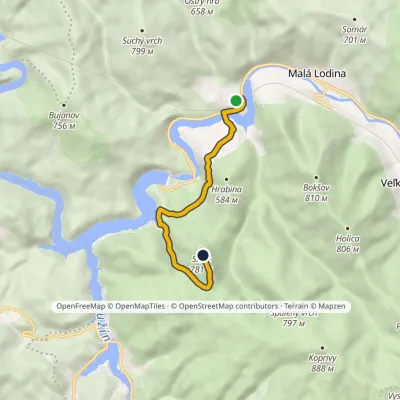 EasyOne-dayMarkedRužín SivecElevation profile277–776 m6.5 kmascent 543 m≈ 2.5 h walkingunder 1 km from Ružín reservoir on the Hornád
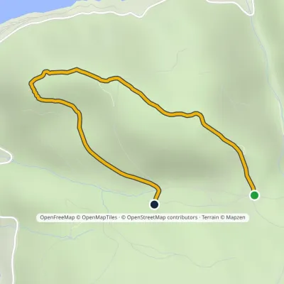 EasyOne-dayMarkedZa BradlomElevation profile495–637 m2.5 kmascent 61 m≈ 45 min walkingunder 1 km from Ružín reservoir on the Hornád
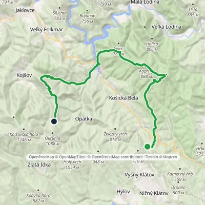 HardMulti-dayMarkedSaddle under Suchý vrch Hut on JahodnáElevation profile325–898 m28.8 kmascent 1 176 m≈ 9.5 h walking1.6 km from Ružín reservoir on the Hornád
Nearby attractions
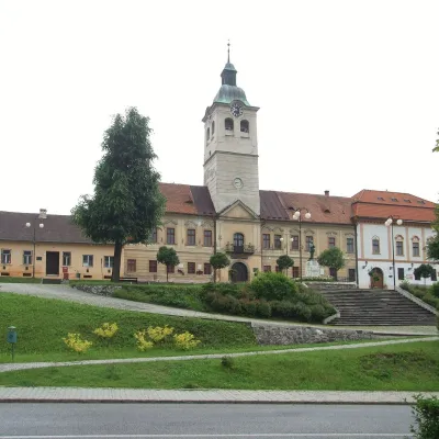 MuseumMining Museum in Gelnica and the Jozef Adit11 km from Ružín reservoir on the HornádThe Mining Museum in Gelnica (Banícke múzeum v Gelnici) is the town museum of an old mining town in the Hnilec valley, among the Volovské vrchy, part of the Slovak Ore...
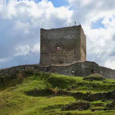 CastleŠariš Castle near Prešov23 km from Ružín reservoir on the HornádŠariš Castle (Šarišský hrad) is one of the largest medieval fortresses in Slovakia: its built-up area exceeds 2.7 ha.
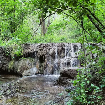 WaterfallHáj waterfalls in the Slovak Karst30 km from Ružín reservoir on the HornádThe Háj waterfalls (Hájske vodopády, Hungarian Áji vízesések) are a cascade of travertine waterfalls in the Háj valley in the Slovak Karst National Park (Slovenský...
Craft nearby
All craft places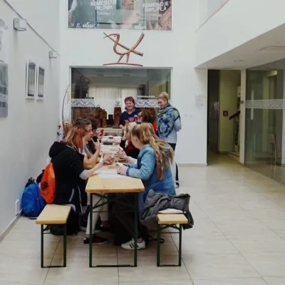 Crafts & workshopsÚĽUV Craft Centre Košice: craft workshops and folk-art shop19 km from Ružín reservoir on the HornádÚĽUV (Ústredie ľudovej umeleckej výroby, the Centre for Folk Art Production) is a state institution that has looked after Slovak folk crafts since 1945: it keeps a...
 Crafts & workshopsMacák Pottery on Košice’s Craft Lane: ceramics and courses20 km from Ružín reservoir on the HornádHrnčiarska Street in Košice old town is known as the "Craft Lane" (Ulička remesiel): craftspeople work in small houses below the walls of the former town fortifications.
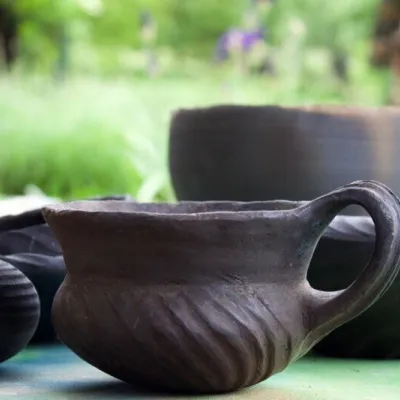 Crafts & workshopsHáj Pottery: wheel-thrown ceramics and wood-fired kilns in Háj31 km from Ružín reservoir on the HornádAt the back of an old farmhouse here is Háj Pottery (Hájske hrnčiarstvo), run by Amália Holíková. She throws utility ware on the wheel and models it by hand, but her...
 Koliby & Hutsul cuisineSpišský salaš below Spiš Castle: Spiš cooking since 196431 km from Ružín reservoir on the HornádBetween Spiš Castle and Spišská Kapitula, at the edge of the plain below the travertine mound of Sivá brada, stands the wooden Spišský salaš.
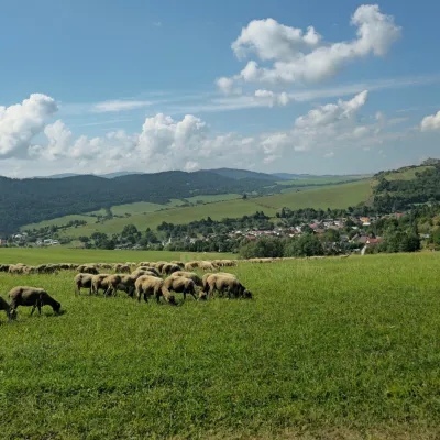 Cheese dairies & pasturesFarma Kamenica — Family Sheep Farm and Cheese Dairy in Šariš40 km from Ružín reservoir on the HornádKamenica is a village in northern Šariš, in the valley of the Kameničanka stream, at about 483 m above sea level.
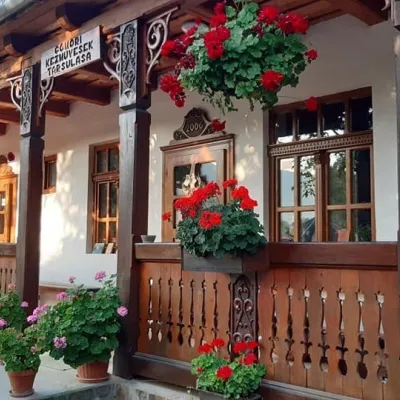 Markets & fairsGemer Craft Fair at Krásnohorská Dlhá Lúka below Krásna Hôrka45 km from Ružín reservoir on the HornádKrásnohorská Dlhá Lúka is a village below Krásna Hôrka castle, a few kilometres from Rožňava. In 2002 the Association of Gemer Craftsmen (Združenie gemerských...
