Háj waterfalls in the Slovak Karst
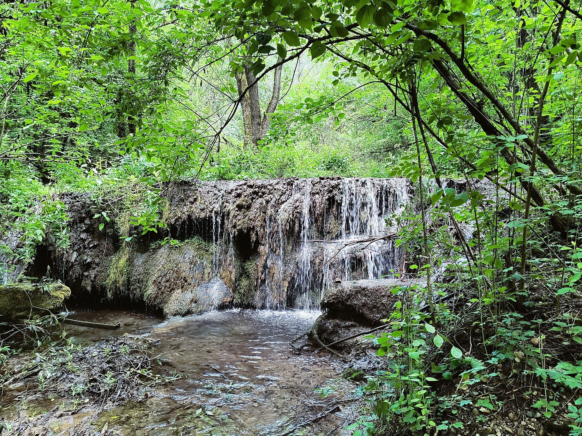
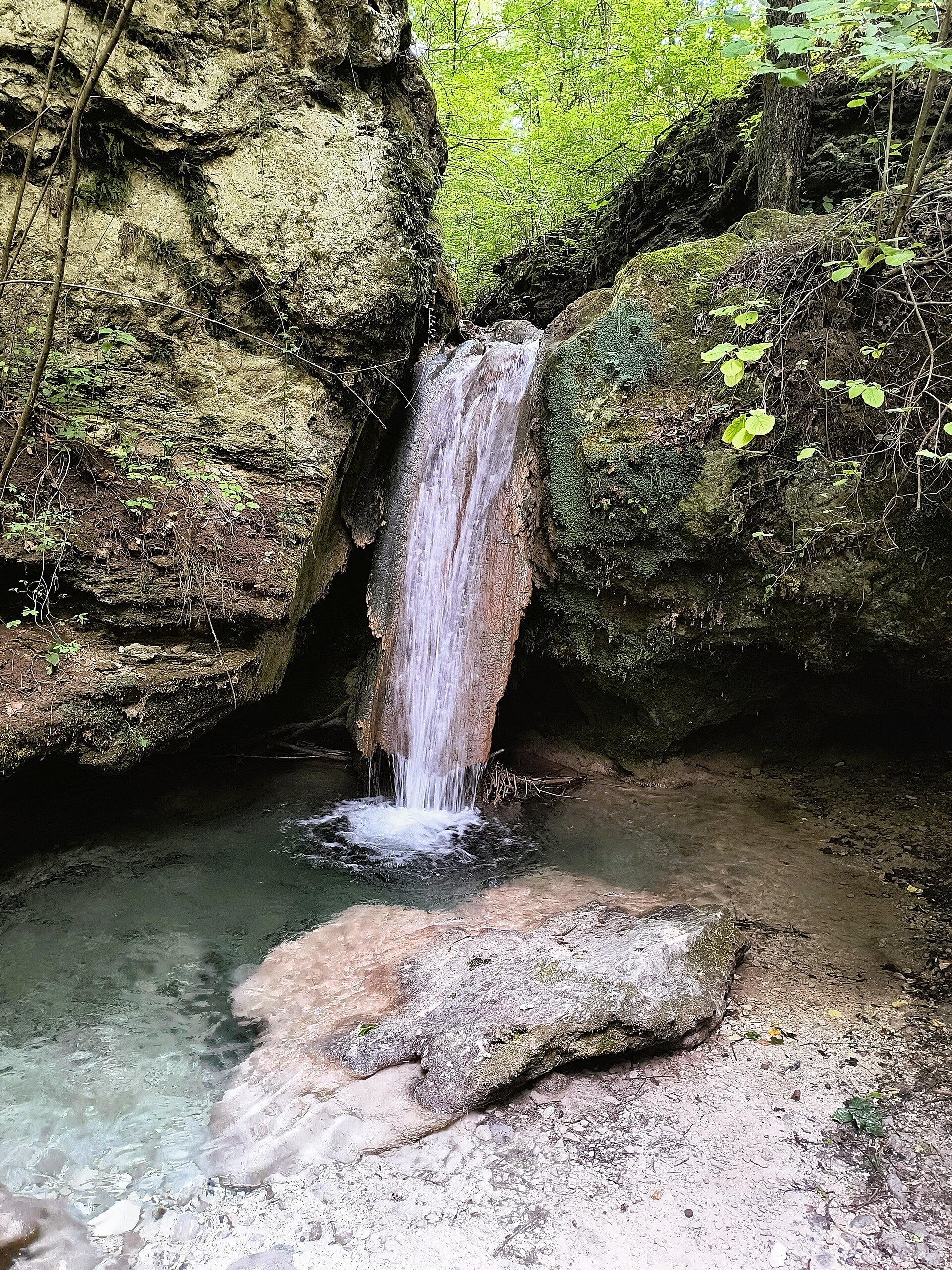
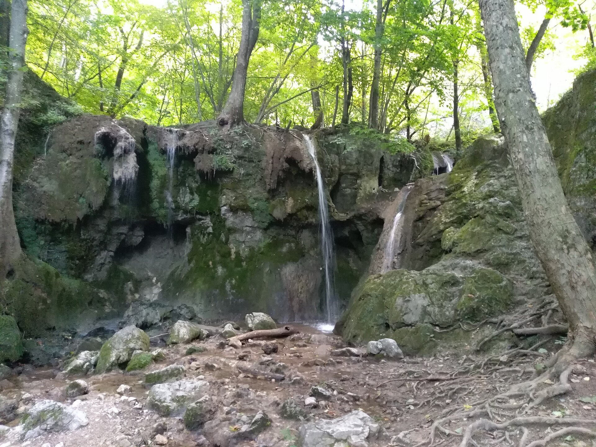
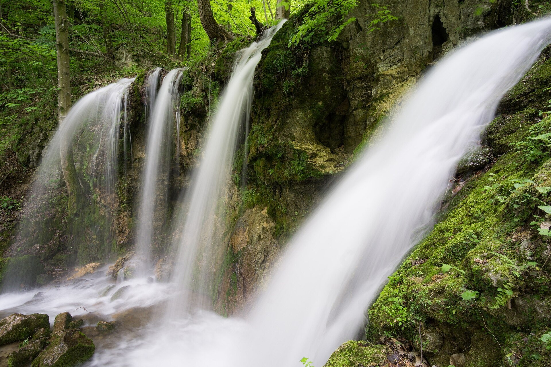
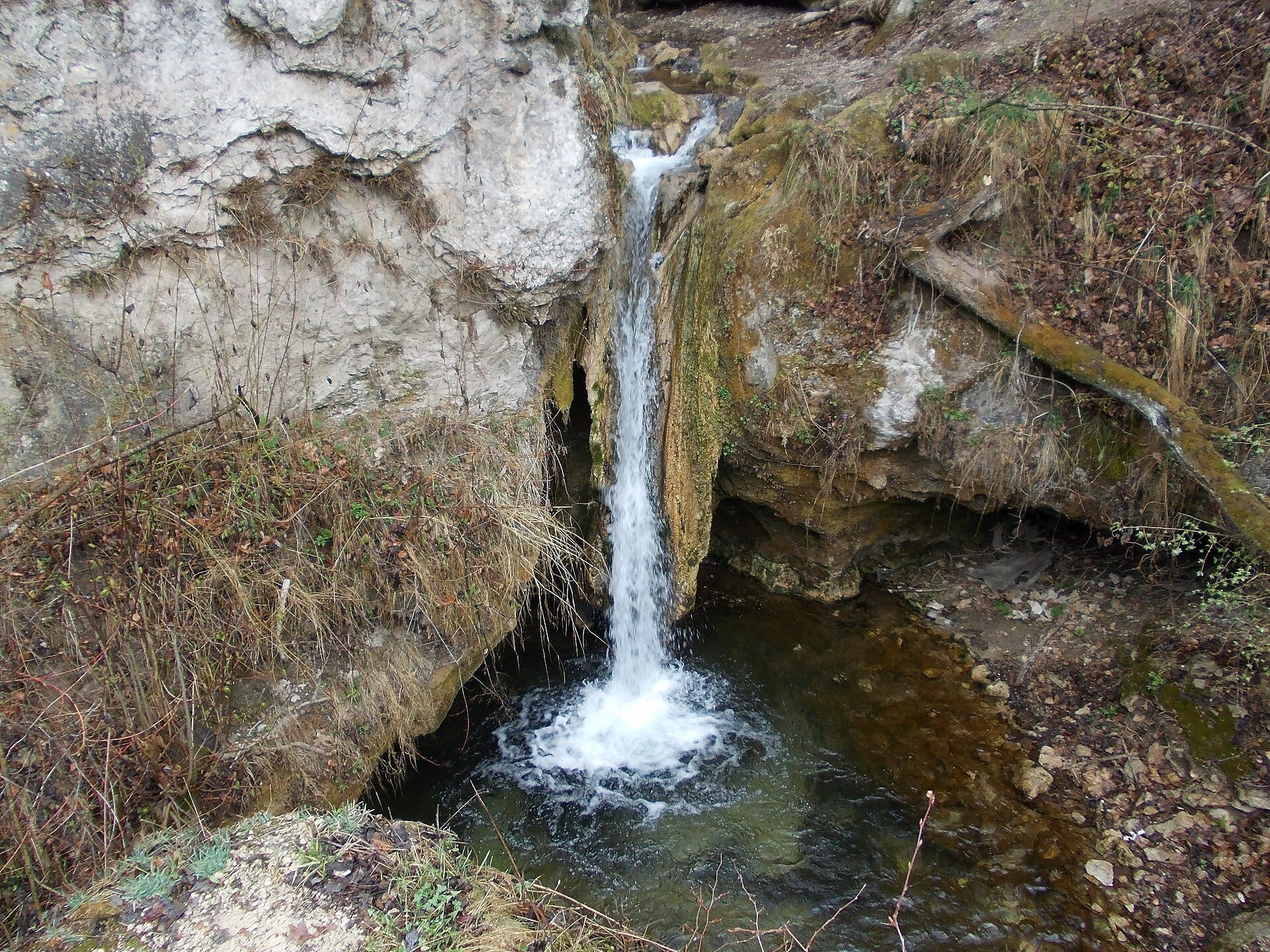
The Háj waterfalls (Hájske vodopády, Hungarian Áji vízesések) are a cascade of travertine waterfalls in the Háj valley in the Slovak Karst National Park (Slovenský kras), close to the Hungarian border. They lie between the villages of Háj (Hungarian Áj) and Hačava in the Košice-okolie district. The Háj valley with its karst gorge runs for about 6.5 km and separates the two easternmost plateaus of the Slovak Karst — the Zádiel plateau and the Jasov plateau. The Háj stream, about 14 km long, rises below Jelení vrch (947 m) and flows into the Turňa stream; over a section with a height difference of about 300 m it forms rapids and a system of ten waterfalls from 1 to 7 m high.
According to Hungarian Wikipedia, the largest of them (from the bottom up) are: the Lower fall (about 5 m, 329 m above sea level), the Big fall (about 7 m, 373 m), the Middle fall (5.9 m, 387 m) and the Upper fall (5.3 m, 396 m); between them are several smaller ones, including the Emerald fall. The travertine steps are partly man-made: small travertine quarries and stone pits once operated in the valley. The narrowest point of the valley is the Devil’s Bridge (Hungarian Ördöghíd): rocks 100–150 m high close in on a passage just 10 m wide, widened by blasting for the road to Hačava, which Italian soldier-labourers built in 1912. Thanks to the inversion of vegetation zones, rare plants grow on the cool valley floor, and the stream, fed by karst springs, supplies the village of Háj with drinking water. Slovak Wikipedia lists several separate falls in the Háj valley — the Háj fall above the bridge and the Big, Middle and Upper Háj falls.
What to see and do
- The Big Háj waterfall (sign No. 2 on the road) — the highest, with a shelter, benches and fireplaces beside it.
- The Middle and Upper falls (signs No. 3 and 4) — the Upper one can only be seen from the road, from under the bridge.
- In winter the falls often freeze into ice walls; in summer it is cool in the shade of the trees by the stream. The amount of water depends on rainfall.
Getting there
The village of Háj lies near the town of Turňa nad Bodvou, where a side road branches off the I/16 Zvolen – Rožňava – Košice road; the nearest railway station is also in Turňa. From the village, the yellow trail and a red cycle route lead up the valley to Hačava on the asphalt road (route Turňa nad Bodvou, station – Osadník). It is 15–20 minutes to the first trail sign «Hájske vodopády» (360 m); a footpath runs along the stream parallel to the road, by which you can reach the Big waterfall in 15–20 minutes from the last houses. There is free parking behind the village office; in the valley itself there is a small lay-by between waterfall signs No. 1 and No. 2 and room to stop at the Devil’s Bridge (stopping at sign No. 1 is prohibited). It is an easy walk for families with children, but the path by the stream is narrow and slippery in places. Another approach is the route Drienovec, stop – Háj.
Season and safety
The waterfalls are accessible all year and entry is free. They lie in the Slovak Karst National Park: protect the vegetation, do not pollute the stream or disturb animals, and light fires only in designated places. Cars use the road through the valley — walk on the path along the stream. In winter icy rocks are dangerous. Mountain Rescue Service — 18 300, general emergency number — 112. As of October 2026.
Nearby
Routes to Jasov and the Zádiel valley cross the valley and the neighbouring plateaus — Turňa nad Bodvou, station – Jasov; further south, along the Hungarian border, runs the route Jaskyňa Domica – Dvorníky-Zádiel, stop.
Photos: Patrik Kunec, CC BY-SA 4.0, Wikimedia Commons; PeterWiki56, CC BY-SA 4.0, Wikimedia Commons; Stepan Hasek, CC BY-SA 4.0, Wikimedia Commons; Pavouk, CC BY-SA 3.0, Wikimedia Commons; Jan Starec, CC BY-SA 3.0, Wikimedia Commons.
Getting there from Ukraine
Border crossings
- Uzhhorod – Vyšné Nemecké — road, 24/7
- Malyi Bereznyi – Ubľa — road, 24/7 For cars and buses; pedestrians not confirmed by the Ukrainian border service, lorries up to 3.5 t.
- Mali Selmentsi – Veľké Slemence (pedestrian) — pedestrian, 09:00–21:00 Kyiv time Pedestrians and cyclists only; inconvenient for the Tatras without onward transport.
- Chop – Čierna nad Tisou (rail) — rail, 24/7
By car
From Uzhhorod ≈182 km, ≈2 h 45 min without queues: Uzhhorod – Vyšné Nemecké → I/19 via Sobrance and Michalovce to Košice → D1 motorway via Prešov to the exit near Levoča → road 533 to Spišská Nová Ves (≈177 km, ≈2 h 30 min from the border). From Lviv via Uzhok and Ubľa ≈407 km, ≈6 h 40 min; through Poland (Kraków – Nowy Targ) ≈496 km, ≈6 h 20 min. The D1 requires an e-vignette (eznamka.sk).
Checked 23.10.2026; border crossing hours and timetables change — check before you travel.
Location on the map
Comments
Trails nearby
All trails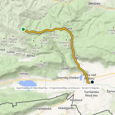 ModerateOne-dayMarkedTurňa nad Bodvou, station OsadníkElevation profile178–1 035 m17.5 kmascent 115 m≈ 4.5 h walkingunder 1 km from Háj waterfalls in the Slovak Karst
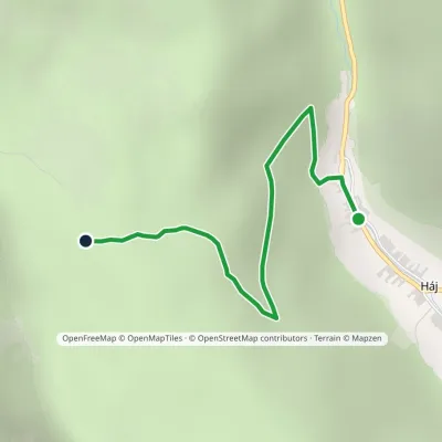 EasyOne-dayMarkedHáj Okrúhly lazElevation profile286–593 m2.3 kmascent 308 m≈ 1 h walkingunder 1 km from Háj waterfalls in the Slovak Karst
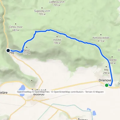 ModerateOne-dayMarkedDrienovec, stop HájElevation profile189–636 m12.2 kmascent 455 m≈ 4 h walkingunder 1 km from Háj waterfalls in the Slovak Karst
Nearby attractions
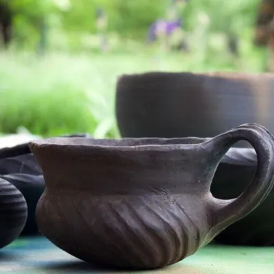 Crafts & workshopsHáj Pottery: wheel-thrown ceramics and wood-fired kilns in Háj1.3 km from Háj waterfalls in the Slovak KarstAt the back of an old farmhouse here is Háj Pottery (Hájske hrnčiarstvo), run by Amália Holíková. She throws utility ware on the wheel and models it by hand, but her...
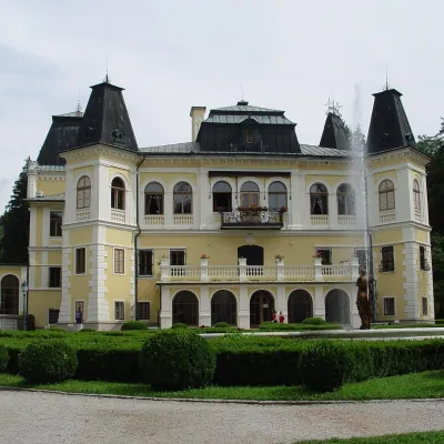 CastleBetliar Manor House26 km from Háj waterfalls in the Slovak KarstBetliar Manor (Kaštieľ Betliar) is the most visited country house in south-eastern Slovakia. It stands in the village of Betliar, 7 km north of the town of Rožňava on...
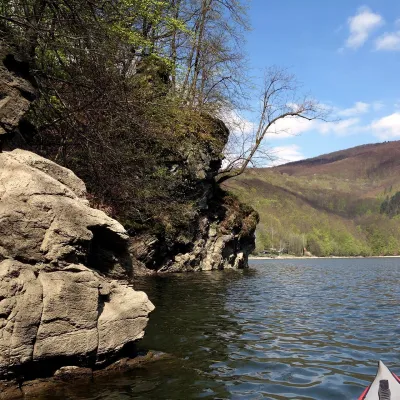 LakeRužín reservoir on the Hornád30 km from Háj waterfalls in the Slovak KarstRužín is a reservoir on the Hornád river in the deep, winding valley of the Čierna hora hills, the north-eastern part of the Slovak Ore Mountains, a dozen or so...
Craft nearby
All craft places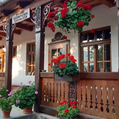 Markets & fairsGemer Craft Fair at Krásnohorská Dlhá Lúka below Krásna Hôrka20 km from Háj waterfalls in the Slovak KarstKrásnohorská Dlhá Lúka is a village below Krásna Hôrka castle, a few kilometres from Rožňava. In 2002 the Association of Gemer Craftsmen (Združenie gemerských...
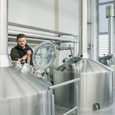 Craft beer & breweriesKaltenecker Brewery, Rožňava: Gemer craft beer from the source23 km from Háj waterfalls in the Slovak KarstThe modern Kaltenecker brewery was founded in 1997, and from the start it took a different path from the big breweries of the day: instead of one-size-fits-all beer, a...
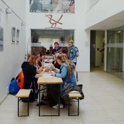 Crafts & workshopsÚĽUV Craft Centre Košice: craft workshops and folk-art shop31 km from Háj waterfalls in the Slovak KarstÚĽUV (Ústredie ľudovej umeleckej výroby, the Centre for Folk Art Production) is a state institution that has looked after Slovak folk crafts since 1945: it keeps a...
