Rožňava
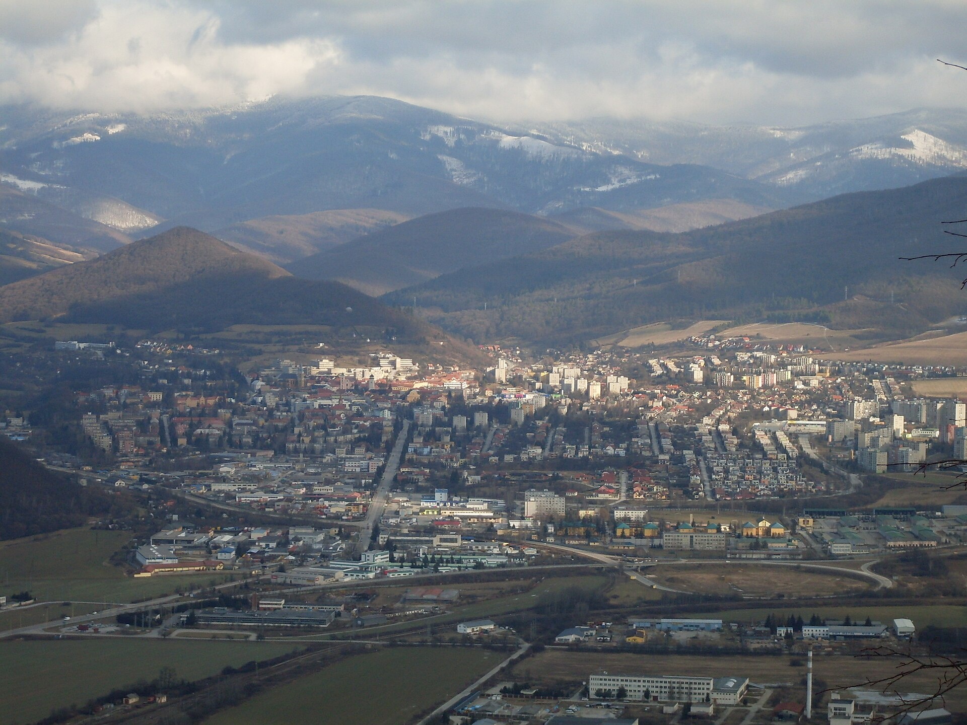
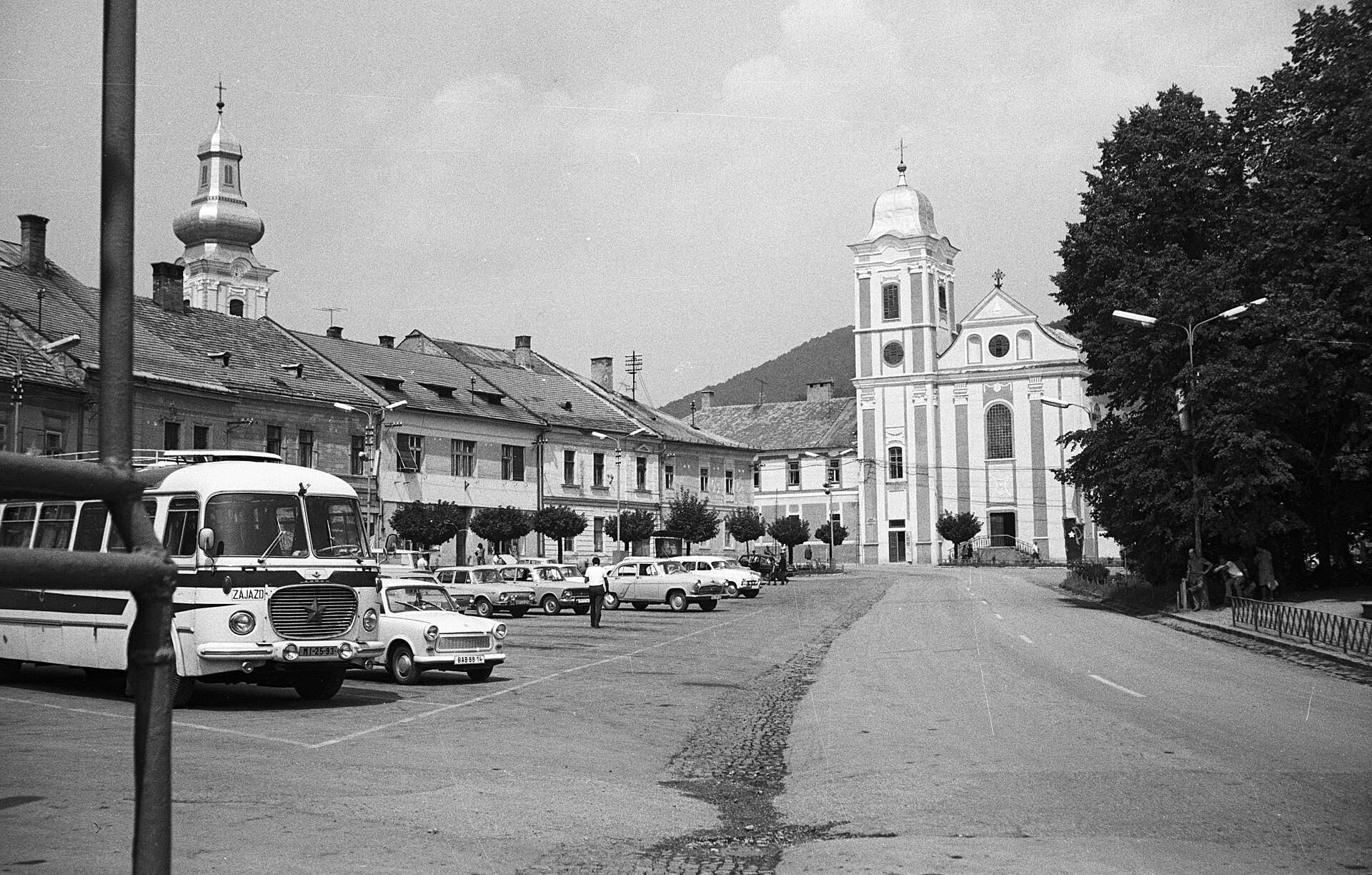
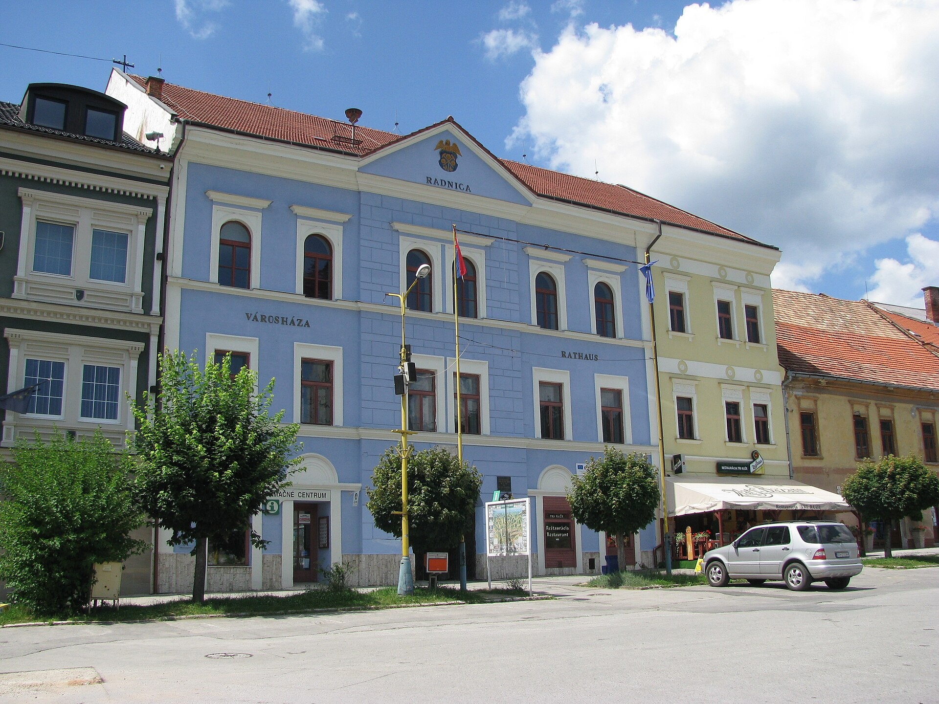
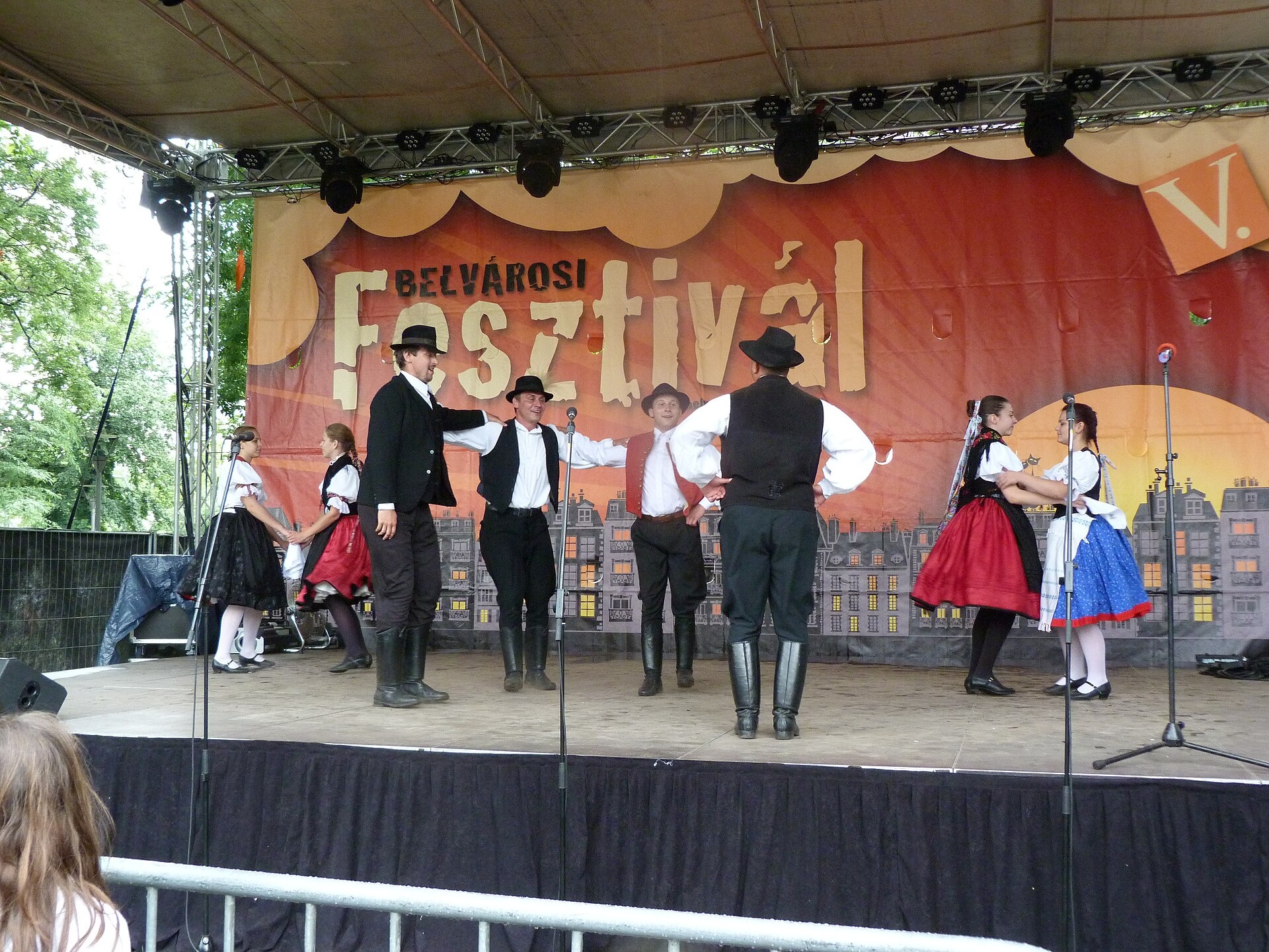
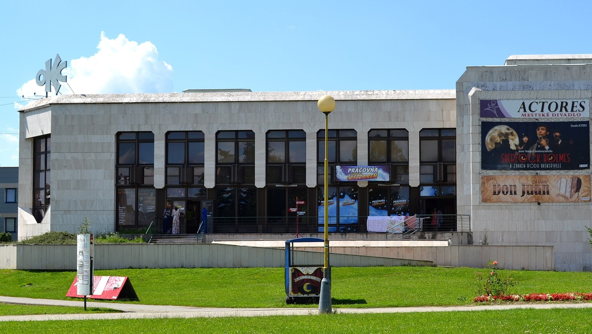
Photos: Potocny, CC BY-SA 3.0 (Wikimedia Commons); FOTO:Fortepan — ID 61364: Adományozó/Donor: Lencse Zoltán. archive copy at the Wayback Machine, CC BY-SA 3.0 (Wikimedia Commons); Hagen Graebner, CC BY-SA 3.0 (Wikimedia Commons); Derzsi Elekes Andor, CC BY-SA 3.0 (Wikimedia Commons); Ladislav Luppa, CC BY-SA 4.0 (Wikimedia Commons); FOTO:Fortepan — ID 17018: Adományozó/Donor: SZF., CC BY-SA 3.0 (Wikimedia Commons)
Rožňava is a town and the administrative centre of the Rožňava District in the Košice Region of Slovakia, located in the historical Gemer region. The town sits in the Rožňava Basin at an elevation of 306 m, in the valley of the Slaná River and its tributary Drazus, on the border of the Slovak Ore Mountains and the Slovak Karst. As of 2025, the population is 16,794.
The first written mention of Rožňava dates back to 1291, though archaeological finds indicate the area was settled by miners around 1200. In the Middle Ages, the town was an important centre for gold, silver, and iron mining. It received royal free town status in 1410, and a Roman Catholic diocese was established here in 1776. Between 1938 and 1945, Rožňava was under Hungarian occupation and was liberated by the 2nd Ukrainian Front on 23 January 1945.
Rožňava is known for its historic centre with a preserved medieval square, a Gothic cathedral from the 13th century, a town hall, and many valuable architectural monuments. The town is an economic and tourist hub of the region, with food, textile, and metal industries. The surrounding area features scenic landscapes of the Slovak Ore Mountains and Slovak Karst.
Visitors can explore the Mining Museum in Rožňava and the Sentinel Centre, as well as the Andrássy Palace in Betliar. There are numerous hiking trails, including "Rožňava – Grexa", "Krompachy, centre – Rožňava", "Pavol Jozef Šafárik Trail: Stolica – Rožňava", "Rožňava – Silica", "Slavec – cave – Jablonovské saddle", and "Rožňava – Škrídlový košiar". The Kaltenecker brewery offers local craft beer, and the Gemer Craft Fair is held in Krásnohorská Dlhá Lúka. Accommodation is available at the Volovec Hut. The peak Skalisko is among the natural attractions.
Getting there from Ukraine
From Uzhhorod to Rožňava is ≈182 km, ≈2 h 45 min without queues: Uzhhorod – Vyšné Nemecké → I/19 via Sobrance and Michalovce to Košice → D1 motorway via Prešov to the exit near Levoča → road 533 to Spišská Nová Ves. From Lviv via Uzhok and Ubľa ≈407 km, ≈6 h 40 min; through Poland (Kraków – Nowy Targ) ≈496 km, ≈6 h 20 min. The D1 requires an e-vignette (eznamka.sk).
Sources: Wikipedia, Wikidata, OpenStreetMap, Karpaty.rocks data. More on Wikipedia
Trails nearby
All trails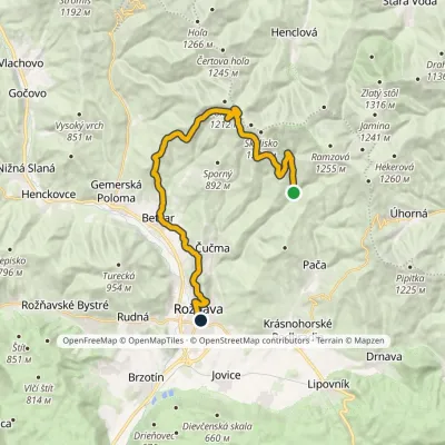 HardTwo-dayMarkedRožňava GrexaElevation profile306–1 209 m26.1 kmascent 837 m≈ 8 h walkingunder 1 km from the centre
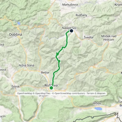 HardMulti-dayMarkedPavol Jozef Šafárik Trail: Rožňava NálepkovoElevation profile306–1 293 m28.8 kmascent 1 089 m≈ 9.5 h walkingunder 1 km from the centre
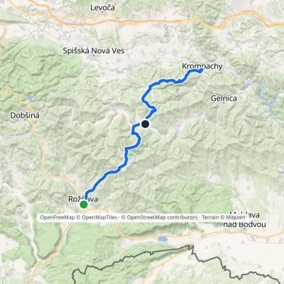 HardMulti-dayMarkedKrompachy, Central Orientation RožňavaElevation profile306–1 318 m55.4 kmascent 3 523 munder 1 km from the centre
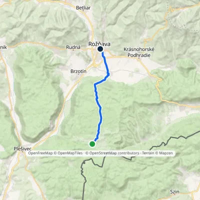 ModerateOne-dayMarkedRožňava SilicaElevation profile280–630 m14.7 kmascent 193 m≈ 4 h walkingunder 1 km from the centre
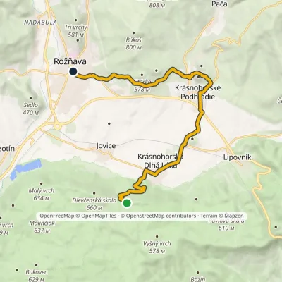 ModerateOne-dayMarkedRožňava Škridlový KošiarElevation profile298–586 m14.7 kmascent 302 m≈ 4.5 h walkingunder 1 km from the centre
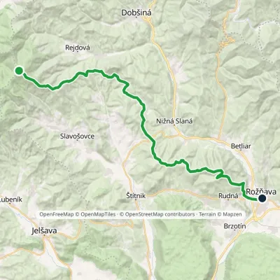 HardMulti-dayMarkedPavol Jozef Šafárik Trail: Stolica RožňavaElevation profile284–1 477 m39.3 kmascent 866 m≈ 11.5 h walkingunder 1 km from the centre
Peaks nearby
All peaks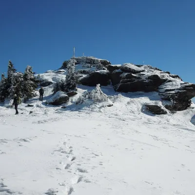
What to visit
All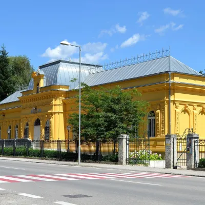 MuseumMining Museum in Rožňava and the Sentinel Experience CentreRožňavaunder 1 km from the centreThe Mining Museum in Rožňava (Banícke múzeum v Rožňave) is the main museum of Gemer, an old region of mines and smelters in the south of the Slovak Ore Mountains.
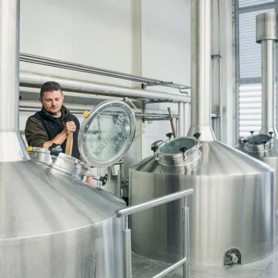 Craft beer & breweriesKaltenecker Brewery, Rožňava: Gemer craft beer from the sourceRožňava1.6 km from the centreThe modern Kaltenecker brewery was founded in 1997, and from the start it took a different path from the big breweries of the day: instead of one-size-fits-all beer, a...
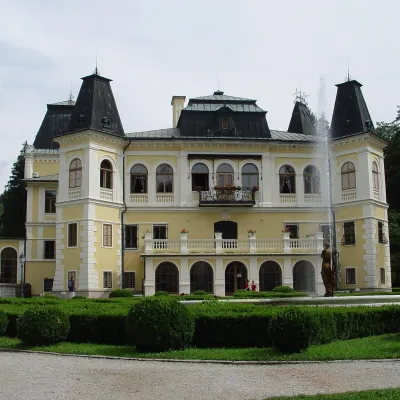 CastleBetliar Manor HouseBetliar5.2 km from the centreBetliar Manor (Kaštieľ Betliar) is the most visited country house in south-eastern Slovakia. It stands in the village of Betliar, 7 km north of the town of Rožňava on...
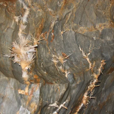 NatureOchtinská Aragonite CaveOchtiná16 km from the centreOchtinská Aragonite Cave (Ochtinská aragonitová jaskyňa) is one of the most extraordinary caves in Slovakia.
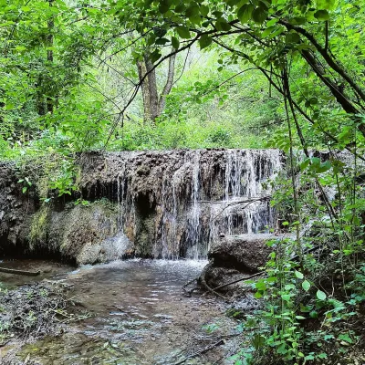 WaterfallHáj waterfalls in the Slovak KarstHáj23 km from the centreThe Háj waterfalls (Hájske vodopády, Hungarian Áji vízesések) are a cascade of travertine waterfalls in the Háj valley in the Slovak Karst National Park (Slovenský...
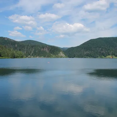 LakePalcmanská Maša reservoirDedinky25 km from the centrePalcmanská Maša is the largest reservoir in the Slovak Paradise. It lies on the upper course of the Hnilec river, in a basin-like widening of the valley below the...
Craft nearby
All craft places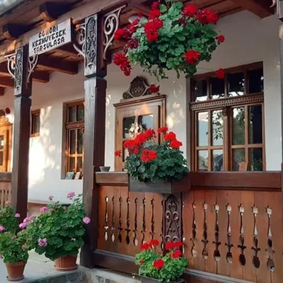 Markets & fairsGemer Craft Fair at Krásnohorská Dlhá Lúka below Krásna HôrkaKrásnohorská Dlhá Lúka5.2 km from the centreKrásnohorská Dlhá Lúka is a village below Krásna Hôrka castle, a few kilometres from Rožňava. In 2002 the Association of Gemer Craftsmen (Združenie gemerských...
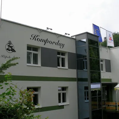 Water parks & thermal poolsŠtós spa: climatic cure, speleotherapy and poolŠtós20 km from the centreKúpele Štós is a climatic spa in south-eastern Slovakia, in the settlement of Štós-kúpele a few kilometres north of the mining village of Štós, where the Volovské...
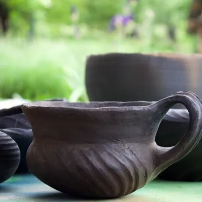 Crafts & workshopsHáj Pottery: wheel-thrown ceramics and wood-fired kilns in HájHáj24 km from the centreAt the back of an old farmhouse here is Háj Pottery (Hájske hrnčiarstvo), run by Amália Holíková. She throws utility ware on the wheel and models it by hand, but her...
Spas and thermal pools nearby
Huts, shelters and springs nearby
Getting there from Ukraine
Border crossings
- Uzhhorod – Vyšné Nemecké — road, 24/7
- Malyi Bereznyi – Ubľa — road, 24/7 For cars and buses; pedestrians not confirmed by the Ukrainian border service, lorries up to 3.5 t.
- Mali Selmentsi – Veľké Slemence (pedestrian) — pedestrian, 09:00–21:00 Kyiv time Pedestrians and cyclists only; inconvenient for the Tatras without onward transport.
- Chop – Čierna nad Tisou (rail) — rail, 24/7
By car
From Uzhhorod ≈182 km, ≈2 h 45 min without queues: Uzhhorod – Vyšné Nemecké → I/19 via Sobrance and Michalovce to Košice → D1 motorway via Prešov to the exit near Levoča → road 533 to Spišská Nová Ves (≈177 km, ≈2 h 30 min from the border). From Lviv via Uzhok and Ubľa ≈407 km, ≈6 h 40 min; through Poland (Kraków – Nowy Targ) ≈496 km, ≈6 h 20 min. The D1 requires an e-vignette (eznamka.sk).
Checked 23.10.2026; border crossing hours and timetables change — check before you travel.
