Rožňava District
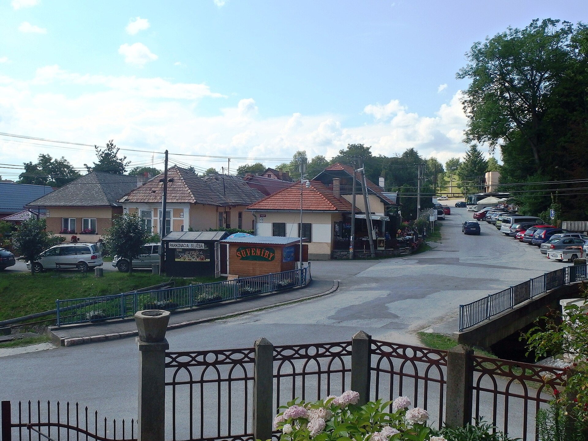
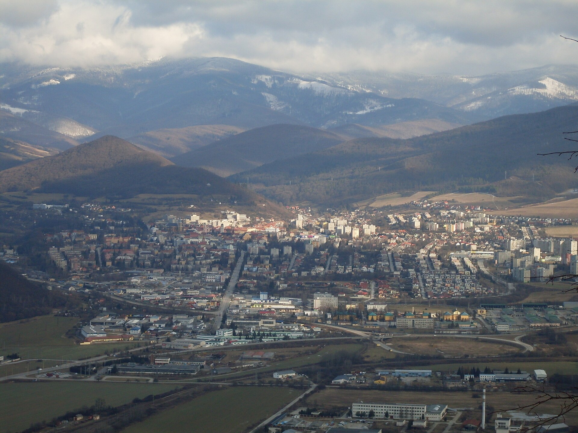
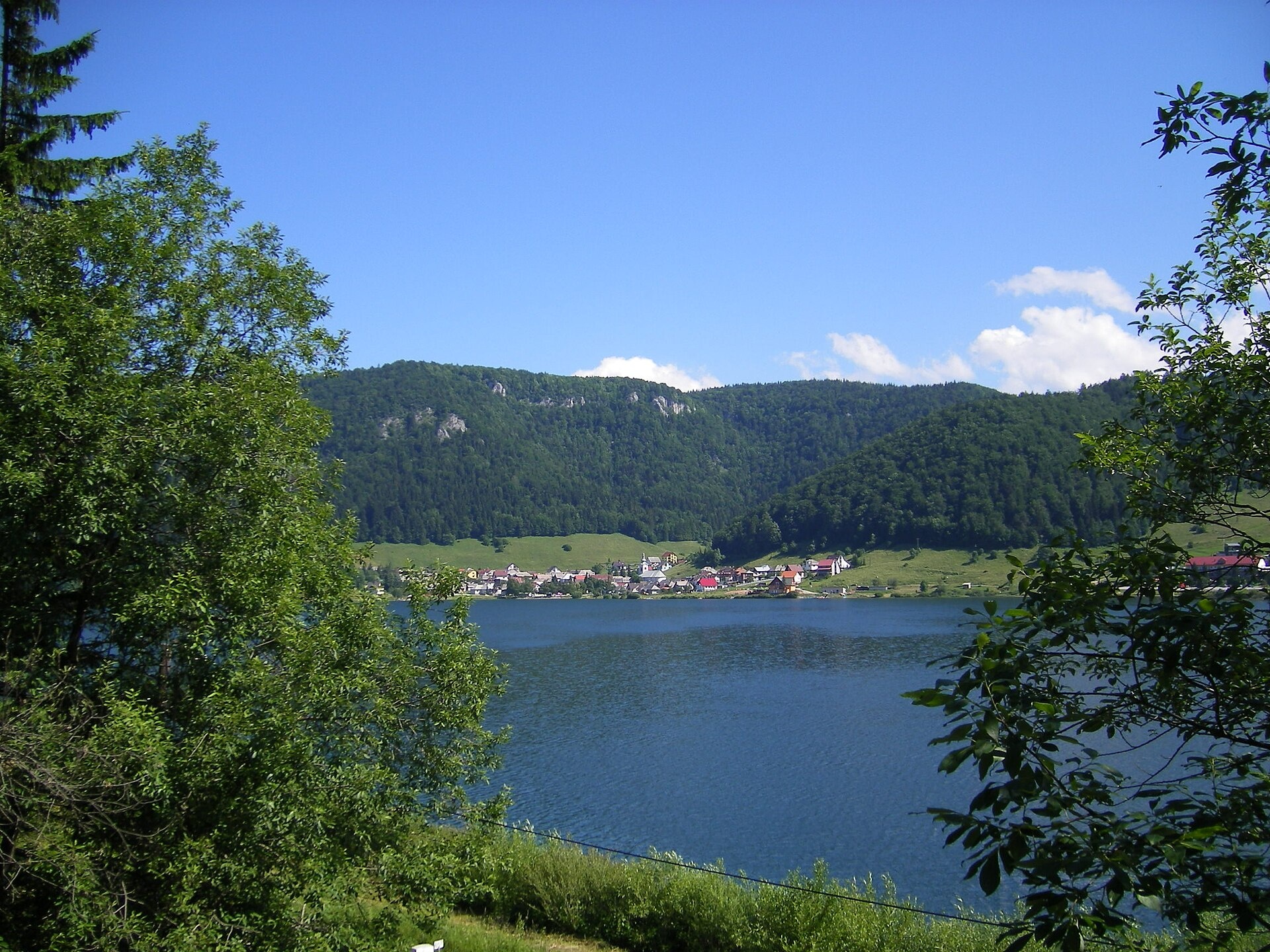
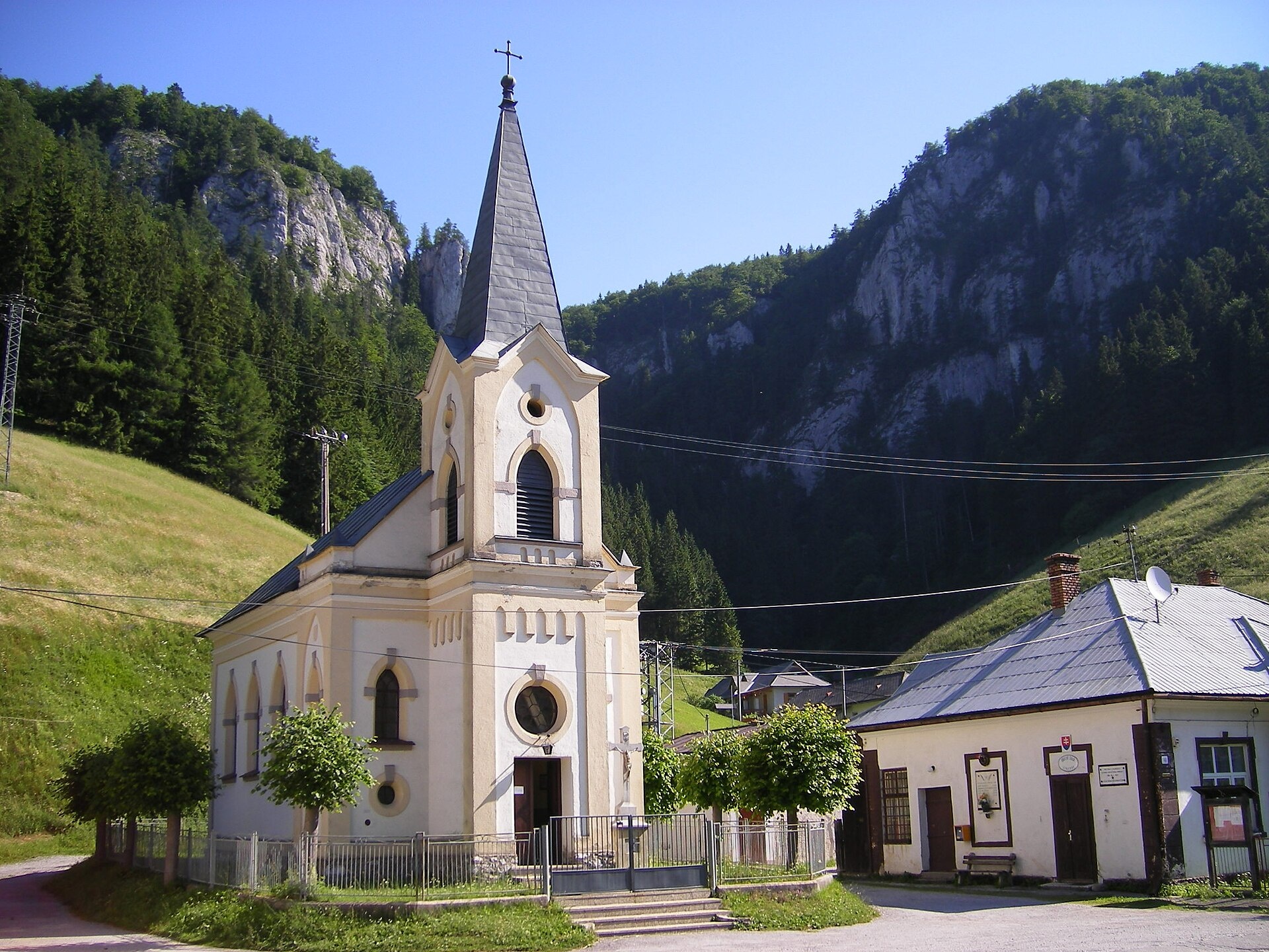
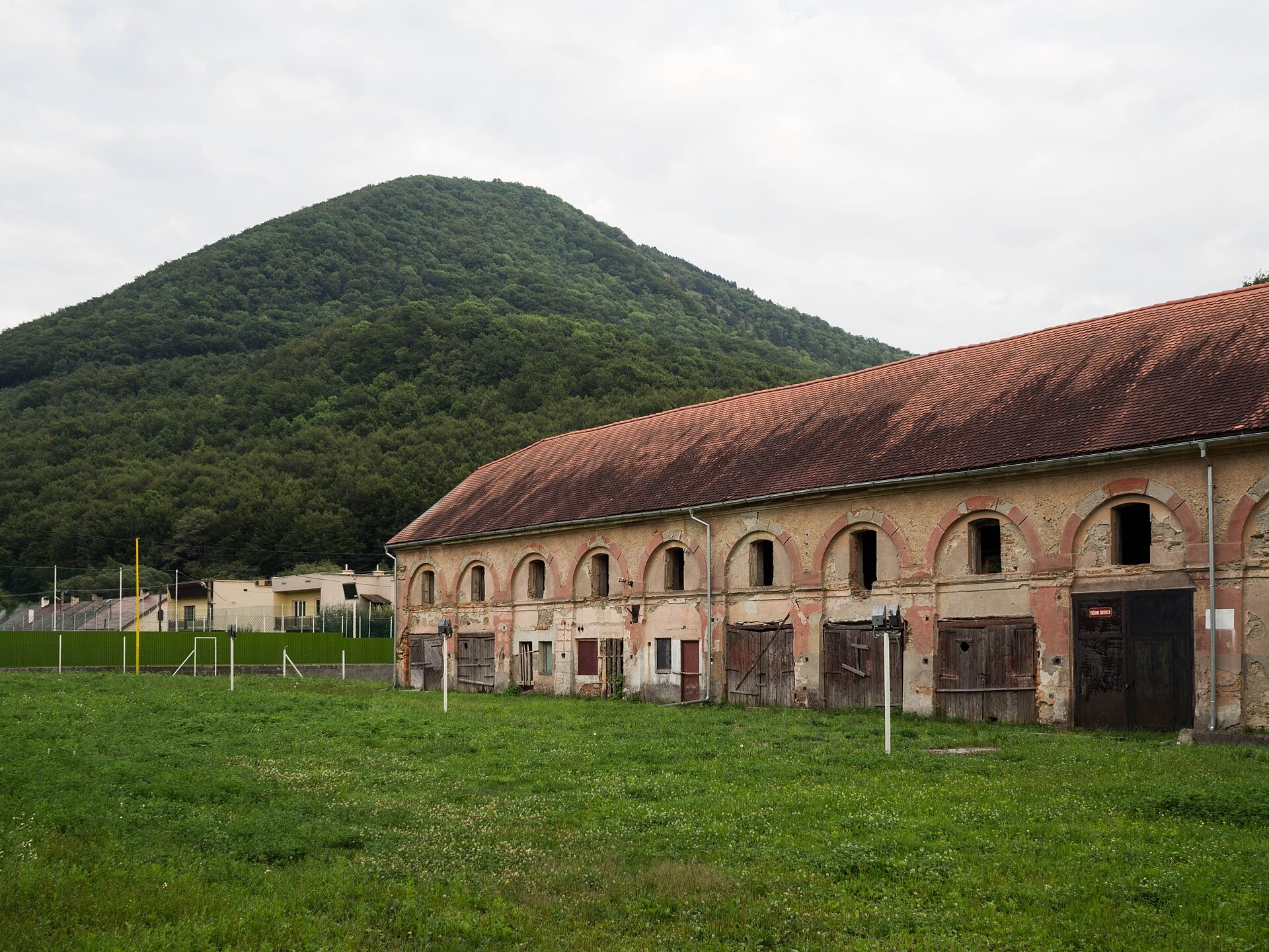
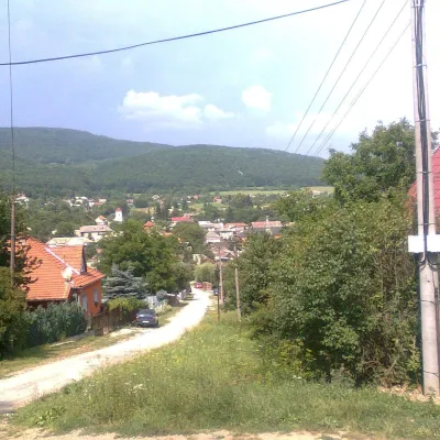
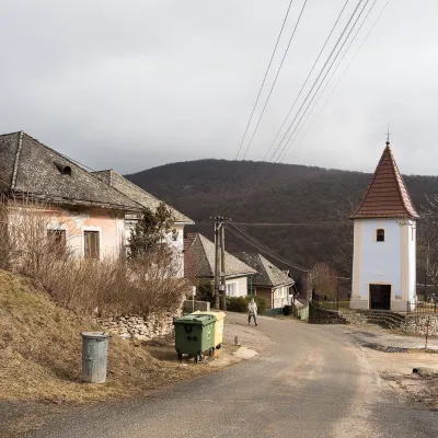
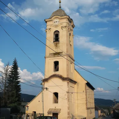
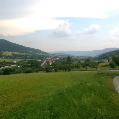
Photos: Betliar (Palickap, CC BY-SA 4.0); Rožňava (Potocny, CC BY-SA 3.0); Dedinky (Szeder László, CC BY-SA 3.0); Stratená (Szeder László, CC BY-SA 3.0); Drnava (David Raška, CC BY-SA 4.0)
Rožňava District is an administrative district in the Košice Region of eastern Slovakia. Its centre is the town of Rožňava, located in the valley of the Slaná River within the Slovak Ore Mountains. Until 1918, most of the district belonged to the historical Hungarian county of Gömör-Kishont, with the south-eastern municipalities forming part of Abaúj-Torna. The district comprises 2 towns and 60 villages.
The area is known for its varied nature: Bodva Hills, the plateaus of Horný Vrch, Dolný Vrch, Geravy, Glac, Koniarska, and the Zeymarská Gorge. The landscape attracts visitors with its mountains, caves, and gorges.
karpaty.rocks features over 40 hiking trails here, such as Rožňava – Grexa, Krompachy – Rožňava, and Domica Cave – Dvorníky-Zadiel. Notable sights include Dobšiná Ice Cave, Ochtinská Aragonite Cave, Andrássy Palace in Betliar, and the Mining Museum in Rožňava. The most listed objects are in Dobšiná, Stratena, Dedinky, Rožňava, Ochtiná, Slavošovce, and Lučka.
Getting there from Ukraine
From Uzhhorod ≈182 km, ≈2 h 45 min without queues: Uzhhorod – Vyšné Nemecké → I/19 via Sobrance and Michalovce to Košice → D1 motorway via Prešov to the exit near Levoča → road 533 to Spišská Nová Ves. From Lviv via Uzhok and Ubľa ≈407 km, ≈6 h 40 min; through Poland (Kraków – Nowy Targ) ≈496 km, ≈6 h 20 min. The D1 requires an e-vignette (eznamka.sk).
Sources: Wikipedia, Wikidata, OpenStreetMap, Karpaty.rocks data.
What's nearby
Towns and villages
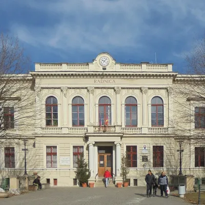 Dobšiná11 trails, 1 sight
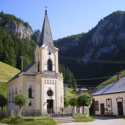 Stratená9 trails, 1 peak, 1 sight
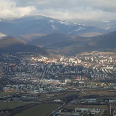 Rožňava6 trails, 1 sight, 1 craft place
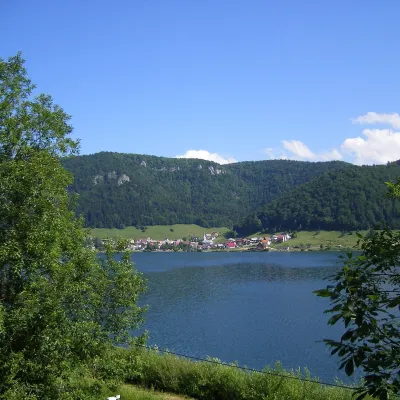 Dedinky6 trails, 2 sights
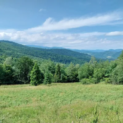 Ochtiná2 trails, 1 sight
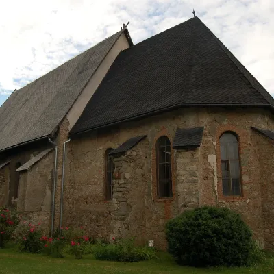 Plešivec2 trails
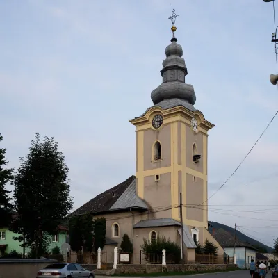 Slavošovce2 trails
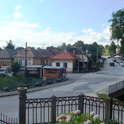 Betliar1 peak, 1 sight
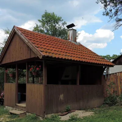 Krásnohorská Dlhá Lúka1 trail, 1 craft place
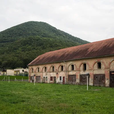 Drnava1 trail, 1 peak
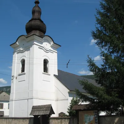 Slavec2 trails
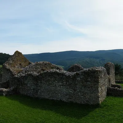 Lúčka2 trails
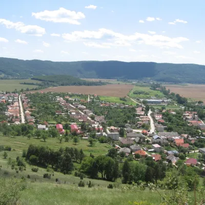 Krásnohorské Podhradie1 trail
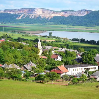 Hrhov1 trail
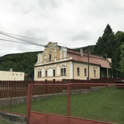 Bôrka1 trail
 Rakovnica1 trail
 Čučma1 mountain hut or shelter
 Čierna Lehota1 trail
 Rožňavské Bystré1 trail
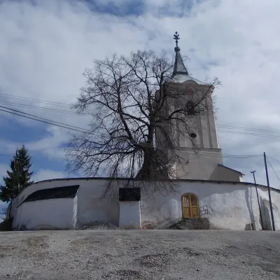 Silica1 trail
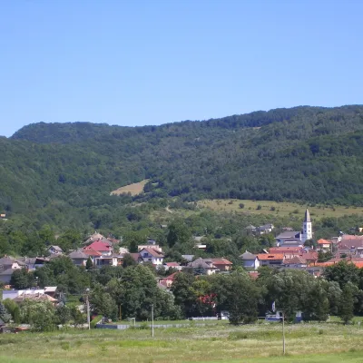 Lipovník1 trail
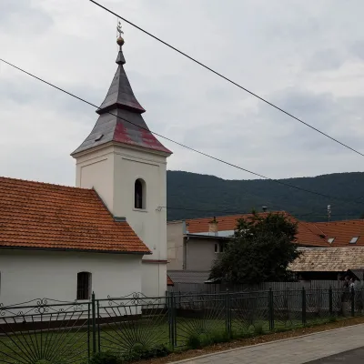 Kružná1 trail
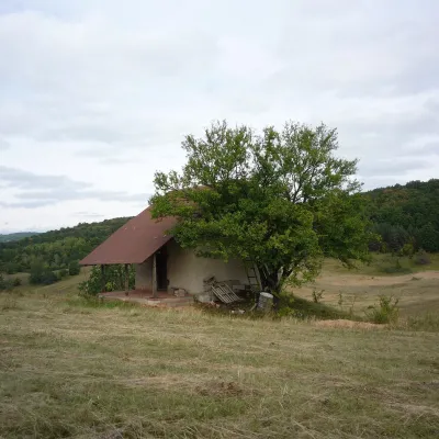 Kečovo1 trail
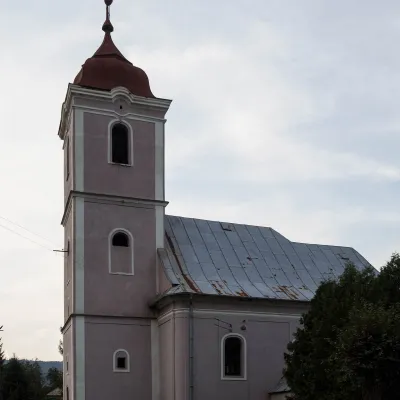 Rozložná1 trail
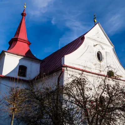 Silická Jablonica1 trail
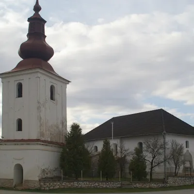 Silická Brezová1 trail
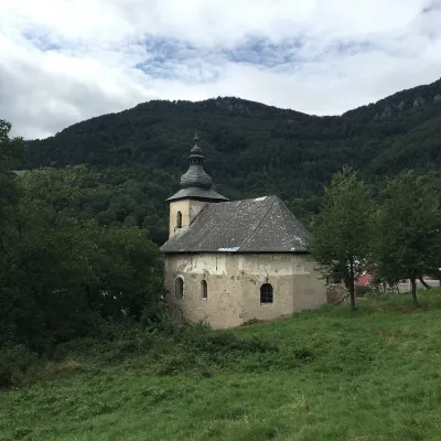 Brdárka1 trail
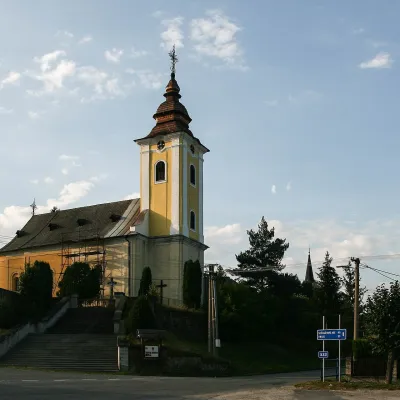 Gemerská Poloma
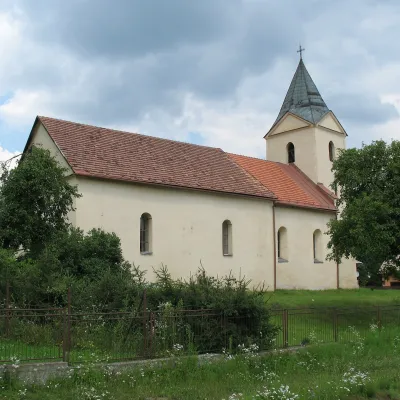 Nižná Slaná
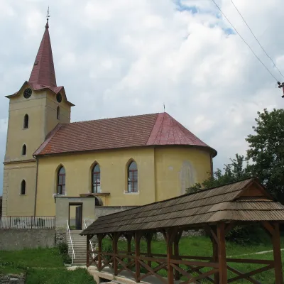 Vlachovo
Getting there from Ukraine
Border crossings
- Uzhhorod – Vyšné Nemecké — road, 24/7
- Malyi Bereznyi – Ubľa — road, 24/7 For cars and buses; pedestrians not confirmed by the Ukrainian border service, lorries up to 3.5 t.
- Mali Selmentsi – Veľké Slemence (pedestrian) — pedestrian, 09:00–21:00 Kyiv time Pedestrians and cyclists only; inconvenient for the Tatras without onward transport.
- Chop – Čierna nad Tisou (rail) — rail, 24/7
By car
From Uzhhorod ≈182 km, ≈2 h 45 min without queues: Uzhhorod – Vyšné Nemecké → I/19 via Sobrance and Michalovce to Košice → D1 motorway via Prešov to the exit near Levoča → road 533 to Spišská Nová Ves (≈177 km, ≈2 h 30 min from the border). From Lviv via Uzhok and Ubľa ≈407 km, ≈6 h 40 min; through Poland (Kraków – Nowy Targ) ≈496 km, ≈6 h 20 min. The D1 requires an e-vignette (eznamka.sk).
Checked 23.10.2026; border crossing hours and timetables change — check before you travel.
