Dobšiná
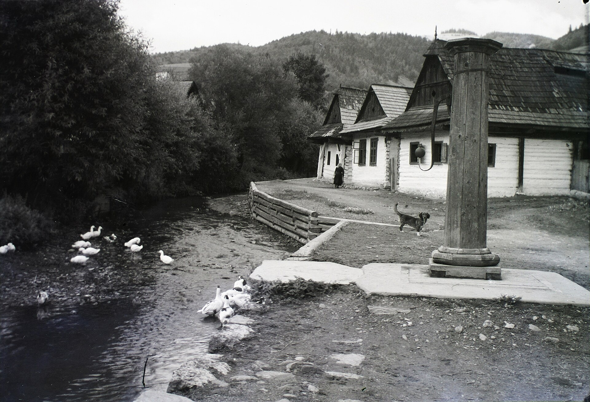
Photos: IDD5000, CC BY-SA 4.0 (Wikimedia Commons); Ján Hricko, CC BY-SA 3.0 (Wikimedia Commons); Ján Hricko, CC BY-SA 3.0 (Wikimedia Commons); pzk net, CC BY 3.0 (Wikimedia Commons); FOTO:Fortepan — ID 95414: Adományozó/Donor: Schermann Ákos. archive copy at the Wayback Machine, CC BY-SA 3.0 (Wikimedia Commons); FOTO:Fortepan — ID 95537: Adományozó/Donor: Schermann Ákos. archive copy at the Wayback Machine, CC BY-SA 3.0 (Wikimedia Commons)
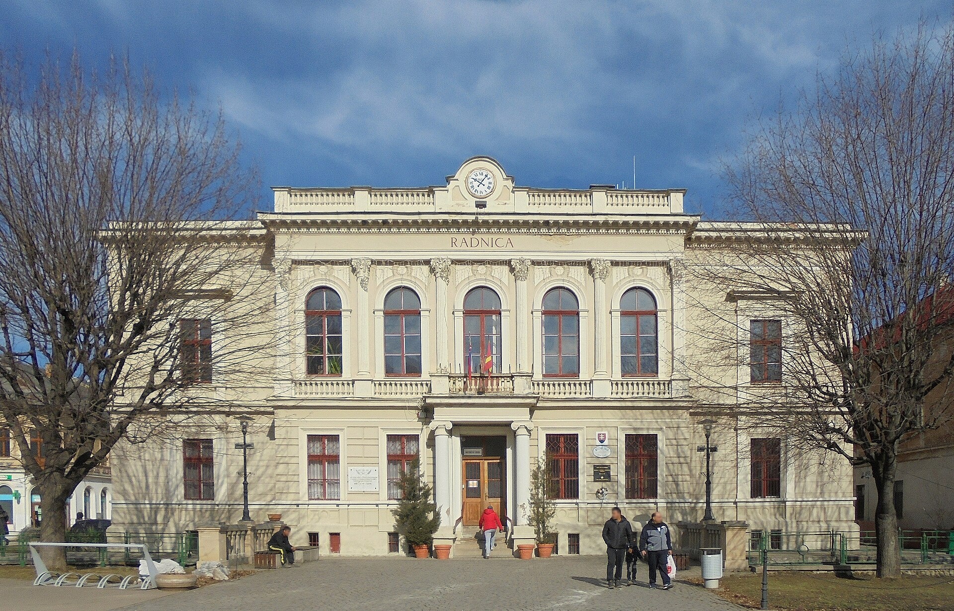
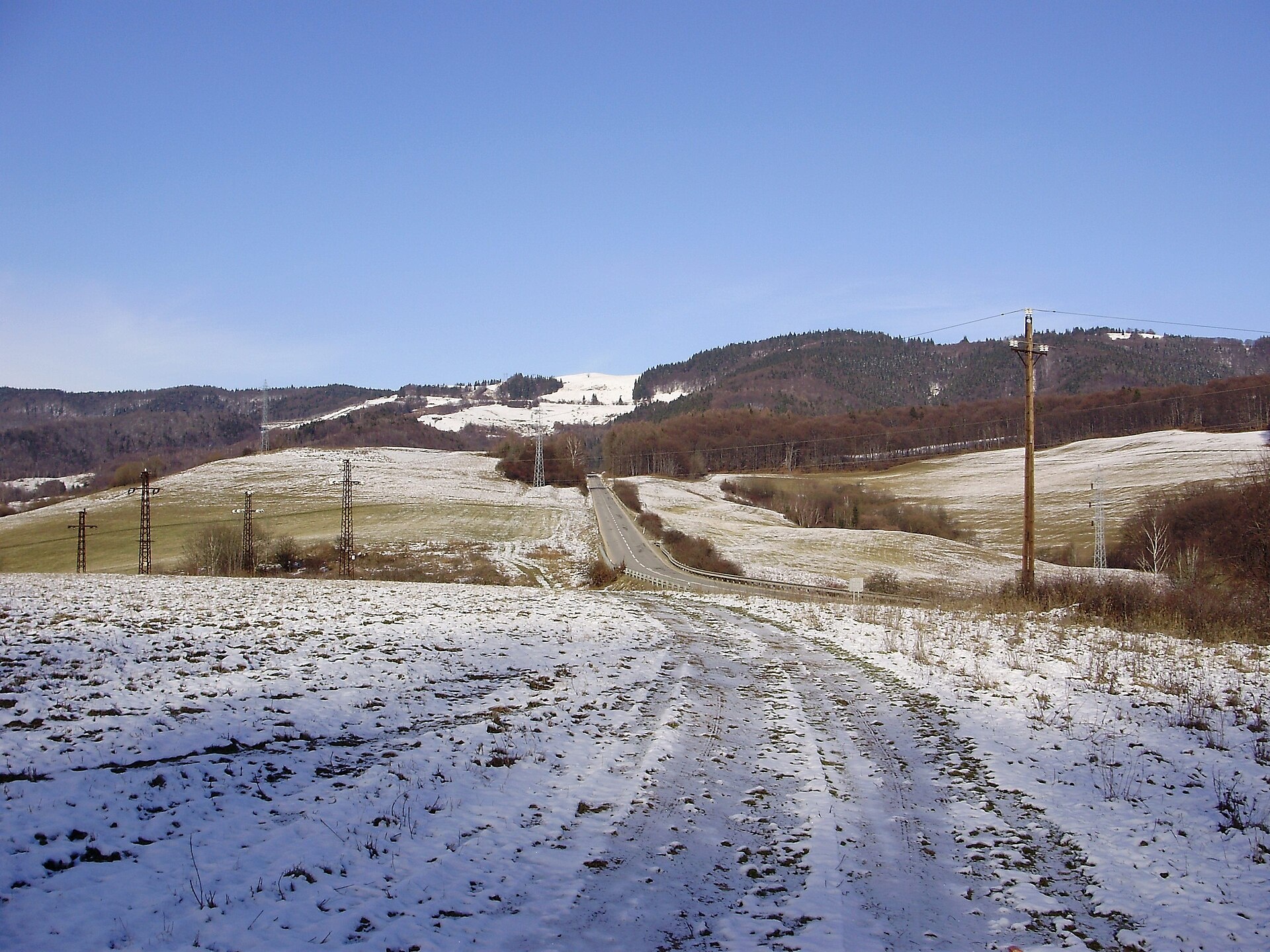
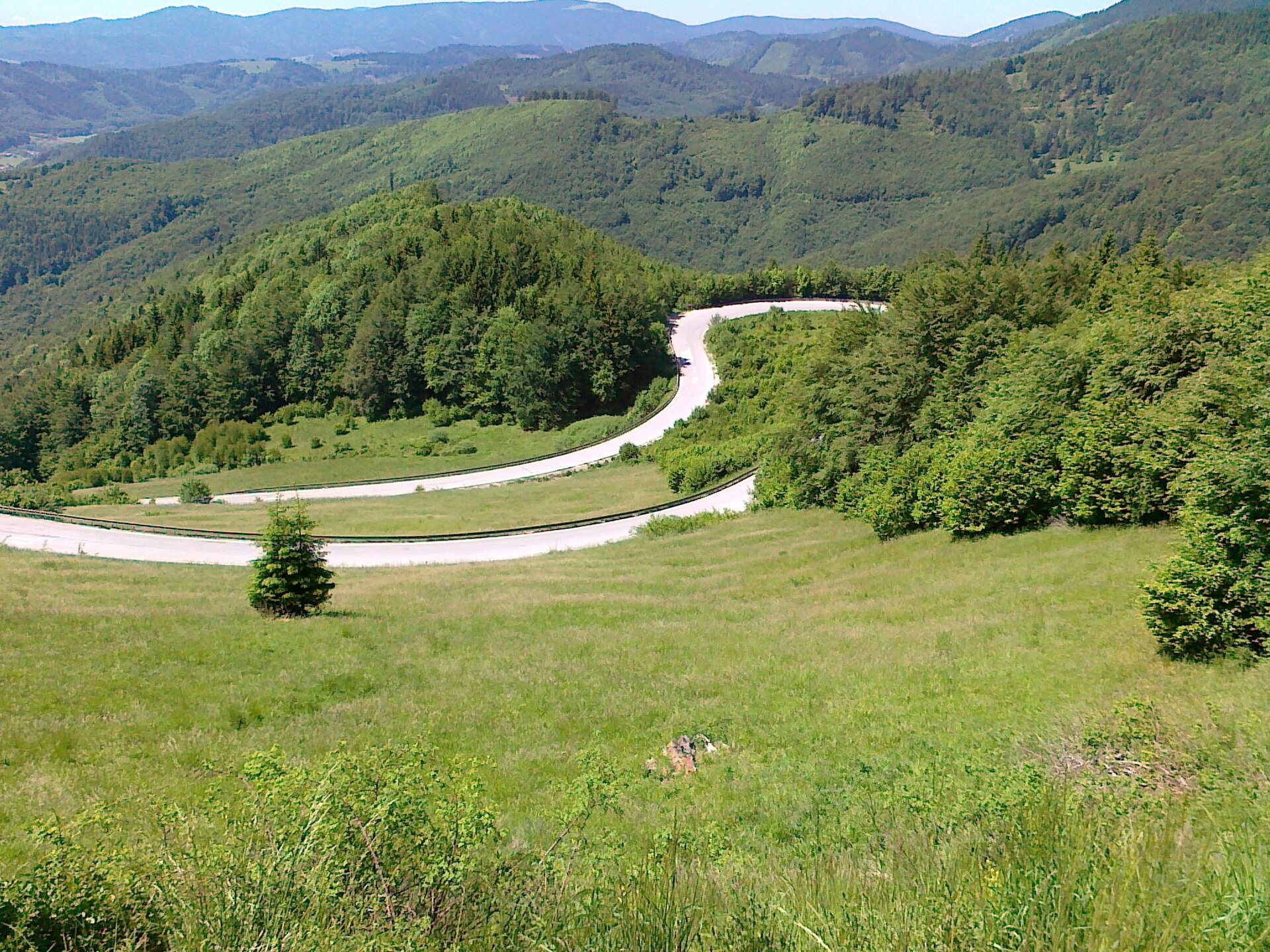
Dobšiná is a town in Slovakia, located in the Rožňava District of the Košice Region. It lies in the valley of the Slaná River, surrounded by the Slovak Ore Mountains, between the Revúca Highlands and the Volovec Mountains in the Carpathians. The town is enclosed on all sides by mountains and lies just south of the scenic Stratenska Valley. Its elevation is 459 metres above sea level.
The earliest written mention of Dobšiná dates back to 1326, when German miners settled here under the patronage of the Bebek family. The town received its charter in 1417. For centuries, Dobšiná thrived as a mining centre, with gold, silver, copper, iron and other metals extracted in the area. The population was predominantly German-speaking, using a distinct dialect.
Dobšiná is best known for its natural attractions, especially the Dobšiná Ice Cave, discovered in 1870. The region also features the Veľký Sokol Gorge and Zejmarská Gorge with their waterfalls, as well as the Palcmanská Maša reservoir. Among architectural sights is the Gothic Evangelical Church, which contains medieval frescoes.
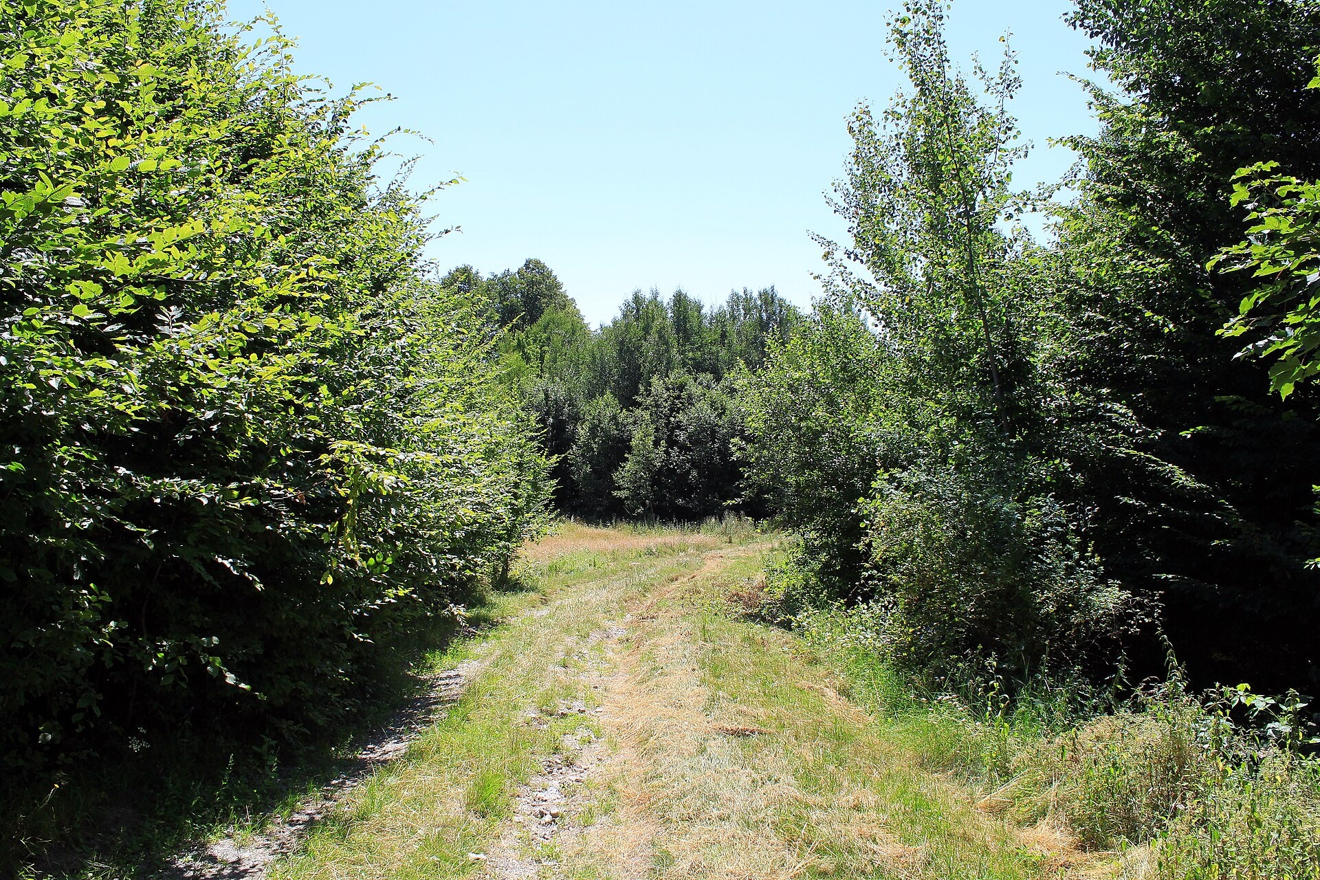
Visitors can enjoy a variety of hiking trails, such as "Dobšiná – Dobšiná Ice Cave", "Novoveská Huta – Dobšiná Ice Cave", and "Stratenský Canyon – Geravy", or ascend the Havrania skala peak. Nature lovers will appreciate excursions to the Dobšiná Ice Cave, the Veľký Sokol and Zejmarská gorges with waterfalls, and relaxation at the Palcmanská Maša reservoir.
Getting there from Ukraine
From Uzhhorod to Dobšiná is about 182 km, ≈2 h 45 min without queues: Uzhhorod – Vyšné Nemecké → I/19 via Sobrance and Michalovce to Košice → D1 motorway via Prešov to the exit near Levoča → road 533 to Spišská Nová Ves (≈177 km, ≈2 h 30 min from the border). From Lviv via Uzhok and Ubľa ≈407 km, ≈6 h 40 min; through Poland (Kraków – Nowy Targ) ≈496 km, ≈6 h 20 min. The D1 requires an e-vignette (eznamka.sk).
Sources: Wikipedia, Wikidata, OpenStreetMap, Karpaty.rocks data. More on Wikipedia
Trails nearby
All trails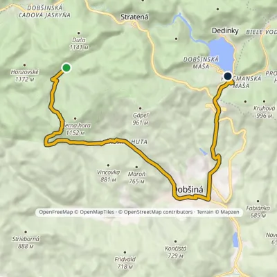 ModerateOne-dayMarkedDedinky, stop Pod HanesovouElevation profile453–1 056 m14.7 kmascent 560 m≈ 5 h walkingunder 1 km from the centre
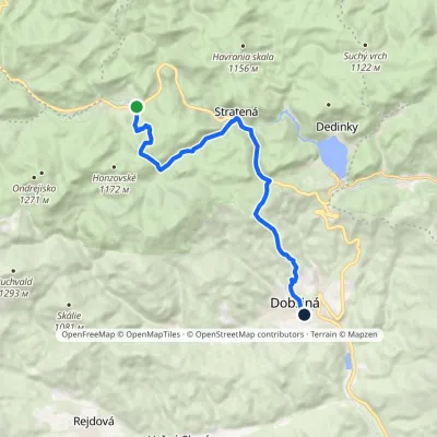 ModerateOne-dayMarkedDobšiná Dobšinská ľadová jaskyňaElevation profile458–1 122 m13.2 kmascent 434 m≈ 4 h walkingunder 1 km from the centre
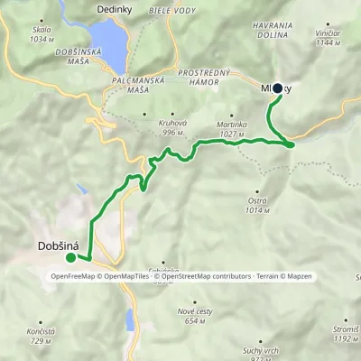 ModerateOne-dayMarkedDobšiná MlynkyElevation profile453–910 m9.4 kmascent 467 m≈ 3.5 h walkingunder 1 km from the centre
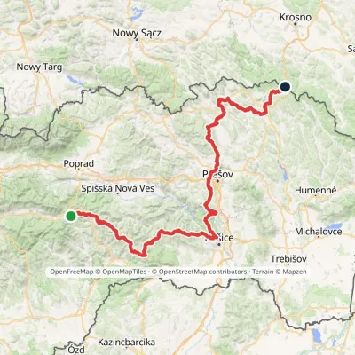 HardMulti-dayMarkedPred Čuntavou Dukliansky PassElevation profile227–1 293 m280.7 kmascent 8 346 m3.1 km from the centre
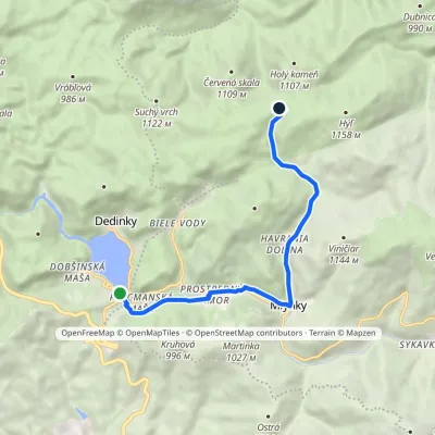 EasyOne-dayMarkedDedinky Zadný HýľElevation profile746–1 026 m9 kmascent 299 m≈ 3 h walking3.7 km from the centre
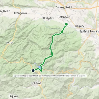 HardTwo-dayMarkedSpišské Tomášovce, zastávka Pod ČižmouElevation profile515–1 092 m23 kmascent 866 m≈ 7.5 h walking3.8 km from the centre
Peaks nearby
All peaks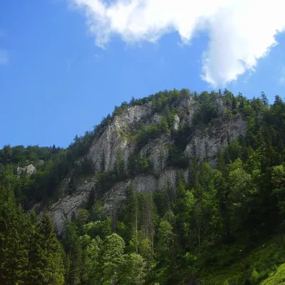 PeakHavrania skalaStratenáaltitude 1 156 m7.8 km from the centreHavrania skala (Raven Rock) is a 1,156 m summit, one of the highest in the Slovak Paradise. It stands in the southern part of the national park, about 3 km north of...
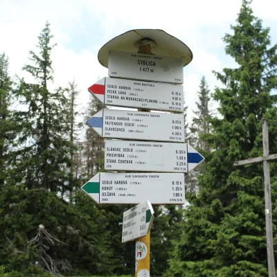 PeakStolicaMuránska Zdychavaaltitude 1 476 m13 km from the centreStolica (Hungarian Sztolica) is the highest peak of the Stolické vrchy and of the entire Slovak Ore Mountains at 1,476 m.
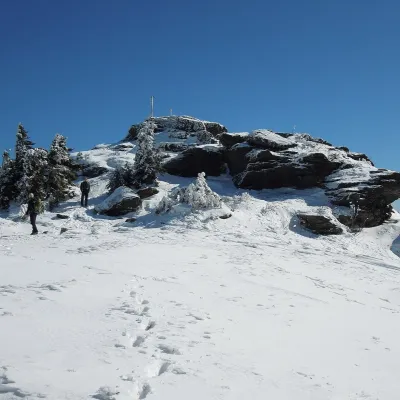 PeakSkaliskoBetliaraltitude 1 293 m18 km from the centreSkalisko (Hungarian Pozsálló; the massif is often called Volovec) is the second highest summit of the Volovské vrchy, part of the Slovak Ore Mountains, at 1,293 m.
What to visit
All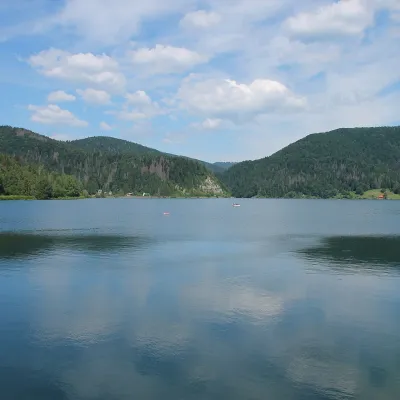 LakePalcmanská Maša reservoirDedinky4.7 km from the centrePalcmanská Maša is the largest reservoir in the Slovak Paradise. It lies on the upper course of the Hnilec river, in a basin-like widening of the valley below the...
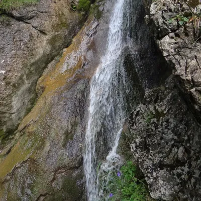 WaterfallZejmarská Gorge and the Nálepka waterfallsDedinky6.4 km from the centreThe Zejmarská Gorge (Zejmarská roklina) is the shortest gorge in the Slovak Paradise National Park and the only limestone gorge in its southern part open to hikers.
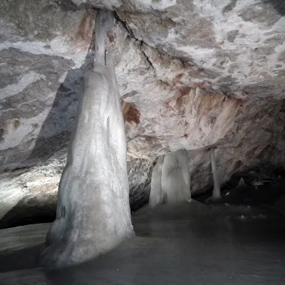 NatureDobšinská Ice CaveDobšiná6.8 km from the centreDobšinská Ice Cave (Dobšinská ľadová jaskyňa) is one of the most important ice caves in the world. Since 2000 it has been on the UNESCO World Natural Heritage list.
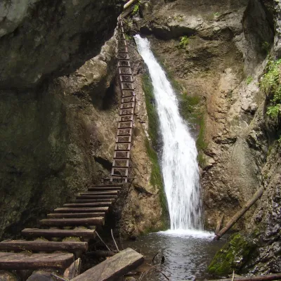 WaterfallVeľký Sokol Gorge and its waterfallsStratená10 km from the centreVeľký Sokol is the longest gorge in the Slovak Paradise National Park and, according to the park administration, one of its wildest and most exposed.
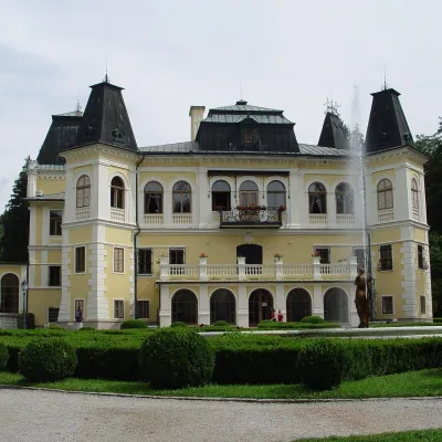 CastleBetliar Manor HouseBetliar17 km from the centreBetliar Manor (Kaštieľ Betliar) is the most visited country house in south-eastern Slovakia. It stands in the village of Betliar, 7 km north of the town of Rožňava on...
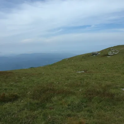 Mountain meadowKráľova hoľa — mountain meadows of the Low TatrasŠumiacaltitude 1 946 m18 km from the centreKráľova hoľa (1,946 m) is a broad, treeless «hoľa» — a mountain meadow above the tree line — at the eastern end of the main ridge of the Low Tatras.
Craft nearby
All craft places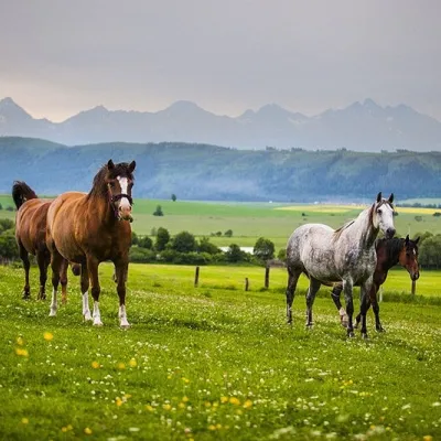 Horse ridingRanč u Trapera, Podlesok: Horse Rides in the Slovak ParadiseHrabušice16 km from the centreA little away from the main tourist bustle, below the forest, stands the family-run Ranč u Trapera, run by the Salaj family.
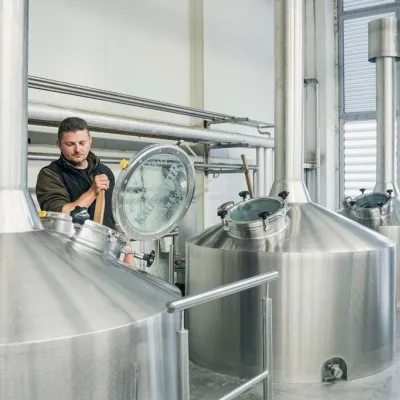 Craft beer & breweriesKaltenecker Brewery, Rožňava: Gemer craft beer from the sourceRožňava23 km from the centreThe modern Kaltenecker brewery was founded in 1997, and from the start it took a different path from the big breweries of the day: instead of one-size-fits-all beer, a...
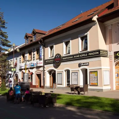 Craft beer & breweriesMinipivovar TATRAS, PopradPoprad26 km from the centreMinipivovar TATRAS is a brewpub on Poprad’s main square, Námestie sv. Egídia, housed in a building with a long brewing history.
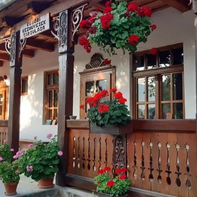 Markets & fairsGemer Craft Fair at Krásnohorská Dlhá Lúka below Krásna HôrkaKrásnohorská Dlhá Lúka27 km from the centreKrásnohorská Dlhá Lúka is a village below Krásna Hôrka castle, a few kilometres from Rožňava. In 2002 the Association of Gemer Craftsmen (Združenie gemerských...
 Water parks & thermal poolsAquaCity Poprad water parkPoprad27 km from the centreAquaCity Poprad is a large year-round water park and wellness complex in the town of Poprad, a few minutes from the centre; according to the complex, the High Tatras...
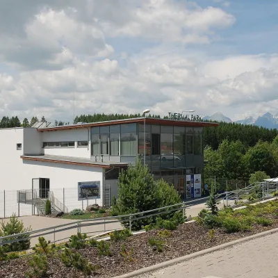 Water parks & thermal poolsThermal Park VrbovVrbov29 km from the centreThermal Park Vrbov is one of the best-known thermal baths in the Spiš region, on the southern edge of the village of Vrbov, about 6 km (as the crow flies) from...
Spas and thermal pools nearby
Water parks & thermal poolsAquaCity Poprad water parkPoprad27 km from the centreAquaCity Poprad is a large year-round water park and wellness complex in the town of Poprad, a few minutes from the centre; according to the complex, the High Tatras...Water parks & thermal poolsThermal Park VrbovVrbov29 km from the centreThermal Park Vrbov is one of the best-known thermal baths in the Spiš region, on the southern edge of the village of Vrbov, about 6 km (as the crow flies) from...Huts, shelters and springs nearby
Getting there from Ukraine
Border crossings
- Uzhhorod – Vyšné Nemecké — road, 24/7
- Malyi Bereznyi – Ubľa — road, 24/7 For cars and buses; pedestrians not confirmed by the Ukrainian border service, lorries up to 3.5 t.
- Mali Selmentsi – Veľké Slemence (pedestrian) — pedestrian, 09:00–21:00 Kyiv time Pedestrians and cyclists only; inconvenient for the Tatras without onward transport.
- Chop – Čierna nad Tisou (rail) — rail, 24/7
By car
From Uzhhorod ≈182 km, ≈2 h 45 min without queues: Uzhhorod – Vyšné Nemecké → I/19 via Sobrance and Michalovce to Košice → D1 motorway via Prešov to the exit near Levoča → road 533 to Spišská Nová Ves (≈177 km, ≈2 h 30 min from the border). From Lviv via Uzhok and Ubľa ≈407 km, ≈6 h 40 min; through Poland (Kraków – Nowy Targ) ≈496 km, ≈6 h 20 min. The D1 requires an e-vignette (eznamka.sk).
Checked 23.10.2026; border crossing hours and timetables change — check before you travel.
