Skalisko
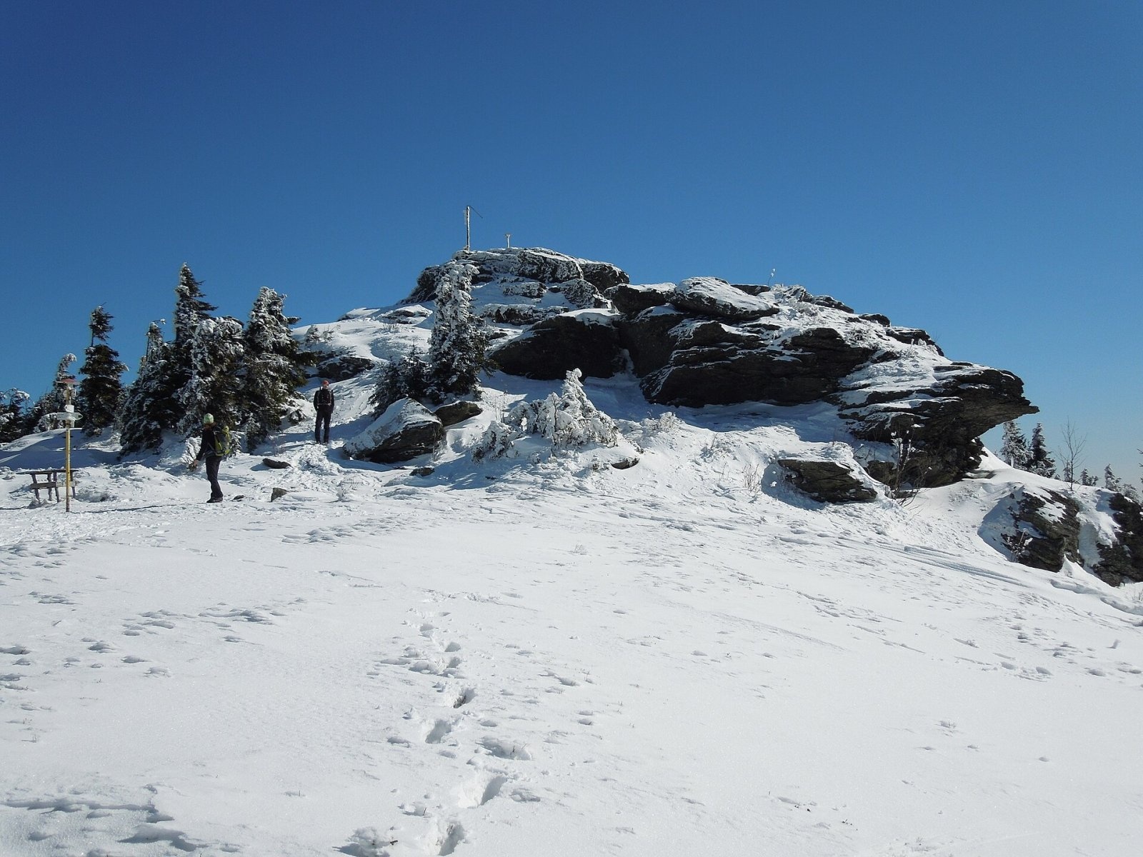
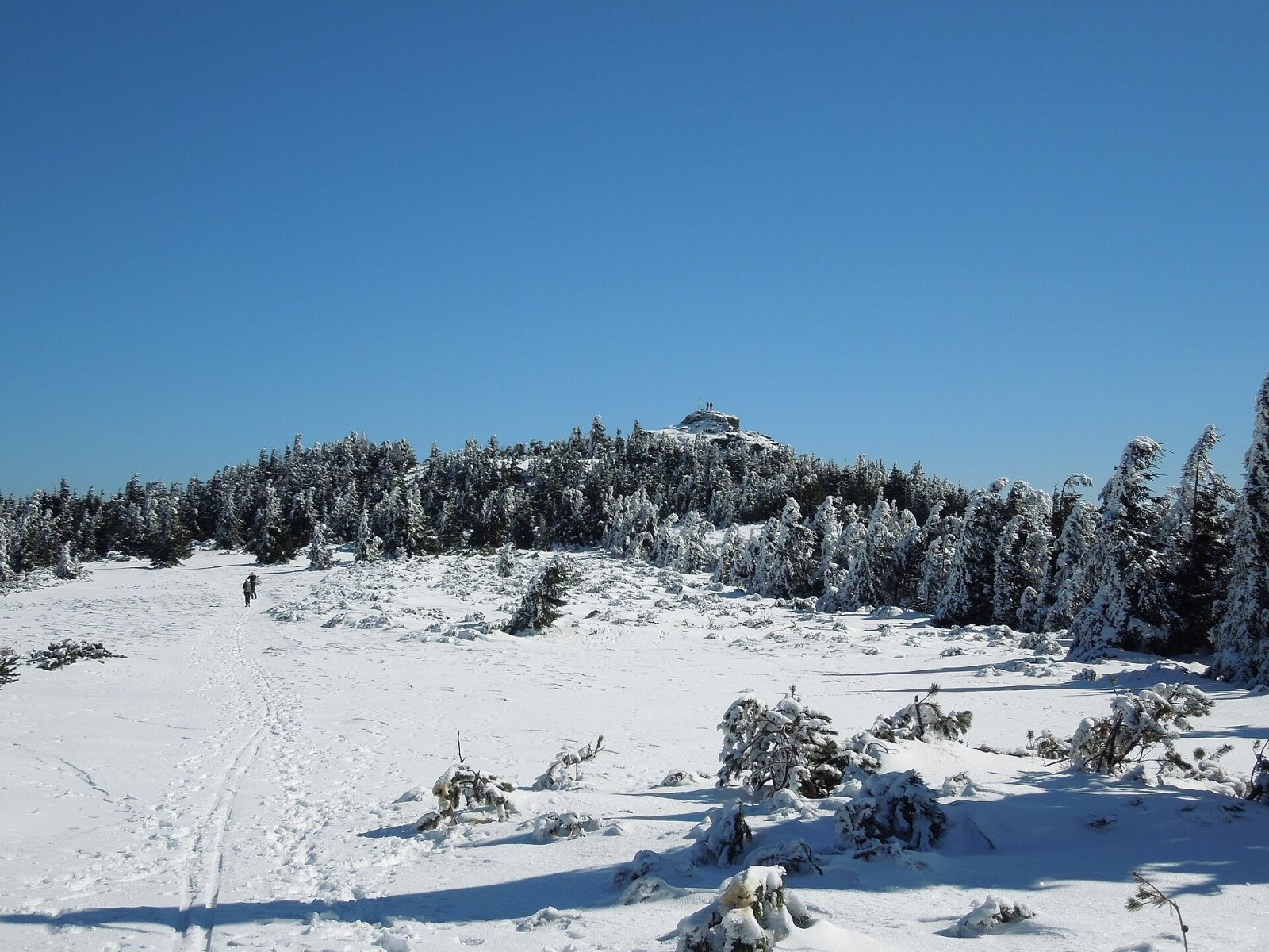
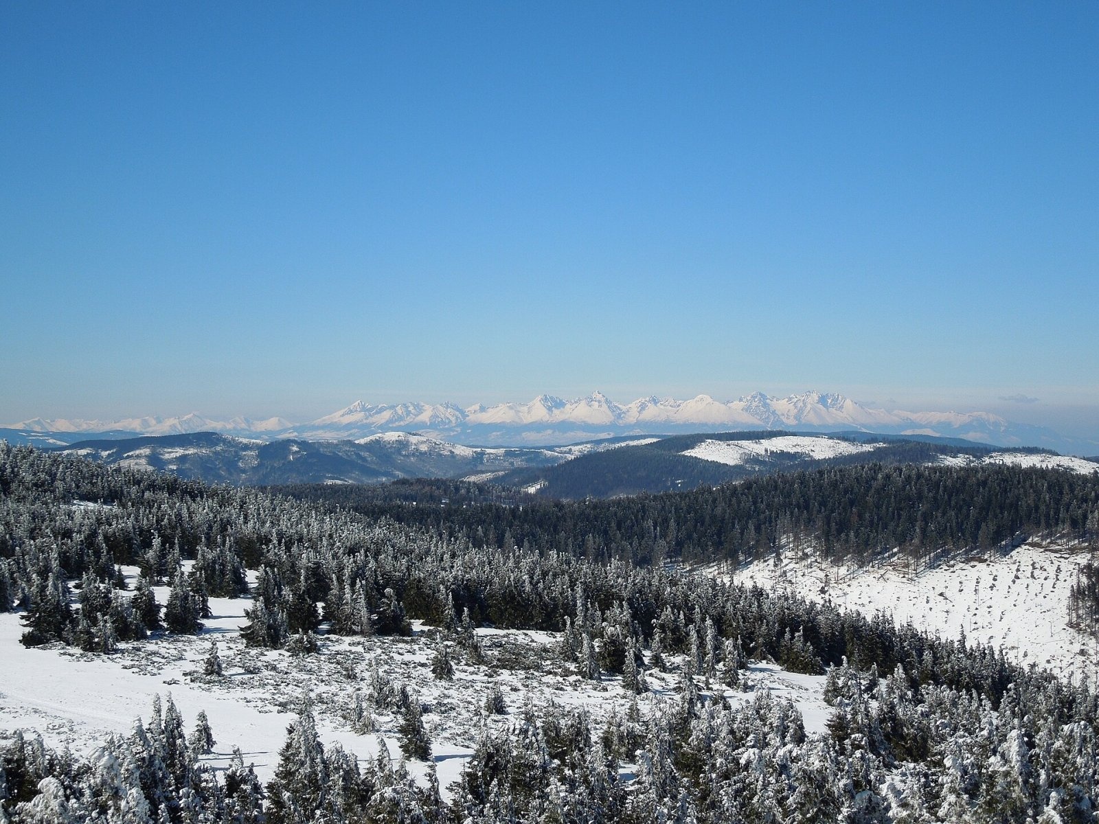
Skalisko (Hungarian Pozsálló; the massif is often called Volovec) is the second highest summit of the Volovské vrchy, part of the Slovak Ore Mountains, at 1,293 m. It rises above the village of Betliar, about 8 km north-east of the town of Rožňava, on the border of the Rožňava and Gelnica districts in the Košice Region. The nearest settlements are Henclová to the north, Čučma and Betliar to the south-west and Úhorná to the south-east. The highest point is a rock group more than ten metres tall that sticks out above a treeless ridge covered with dwarf pine and gave the peak its name (Skalisko means “big rock”).
How to get there / routes
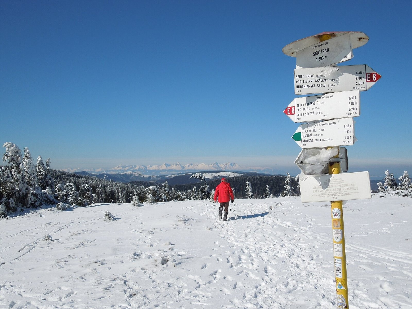
The main ridge of the Volovské vrchy carries the red SNP Heroes’ Trail (Cesta hrdinov SNP), which here coincides with the European path E8; it passes a few dozen metres from the summit.
- Red from the north-west: from the Súľová saddle via Čertova hoľa and the Volovec saddle.
- Red from the south-east: from Úhornianske sedlo via Biele skaly and sedlo Krivé; from Krivé it is about 6.1 km, roughly 1 h 45 min.
- Green (Pavol Jozef Šafárik Trail): from Čučma in the south past the Volovec hut, or from Henclová in the north via the Volovec saddle.
- Yellow: from the square in Betliar past the Volovec hut, about 3 h 45 min.
About 15 minutes down the green trail from the summit, at around 1,132 m, stands the Volovec mountain hut — the highest tourist hut in the Košice Region; a spring rises next to it.
What you can see from the summit
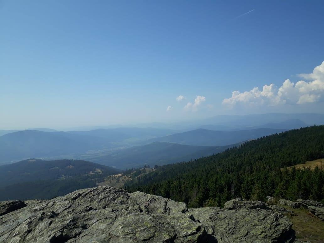
The whole ridge is covered in dwarf pine, but the bare rocky top gives a 360° panorama. To the north-west you see the High Tatras, to the west the Low Tatras with Kráľova hoľa, to the south the plateaus of the Slovak Karst above the Rožňava basin, and to the east the continuation of the ridge. In clear weather Branisko, the Levoča Hills, the Western Tatras, the Stolické vrchy, the Revúca Highlands and the mountains of northern Hungary, including the Bükk, come into view.
Nature and history
Skalisko lies on the main ridge running from Úhornianske sedlo to the Súľová saddle, in the section known as Volovec. Nearby rise Zlatý stôl (1,322 m) — the highest peak of the Volovské vrchy — Čertova hoľa and Ramzová. Water from the northern slopes flows via the Tichá voda brook to the Hnilec, and from the southern slopes via the Zlatý and Čučmiansky brooks to the Slaná river.
Old maps marked the peak as Baracká skala or Baračka. In the early 20th century the Hungarian author Jenő Reguly called it Nagy-kő (“Great Stone”) or Ochsenberg (“Ox Mountain”). After the First Vienna Award of 1938 the new Hungarian–Czechoslovak border ran along the ridge of the Volovské vrchy, and for a few months Skalisko was the highest point of Hungary.
Safety, season and rules
The routes to Skalisko are not technically difficult, but the ridge is exposed to wind, and in winter deep snow and drifts are common. Stay on the marked trails and carry water and warm clothing. Slovak Mountain Rescue (HZS): 18 300 (+421 18 300); emergency number 112.
Interesting facts
- Since 1978, on the first Saturday of each new year, hikers from Rožňava and Čučma hold the traditional New Year’s climb of Volovec.
- Every early March the village of Pača organises the “Gemer Track” ski traverse over the summit.
- At the end of May Betliar holds a walk to Skalisko in memory of Daniel Fabíni, who died tragically in 1992.
Photos: Milan Bališin, CC BY-SA 4.0; Milan Bališin, CC BY-SA 4.0; Milan Bališin, CC BY-SA 4.0; Szekelyegyes, CC BY-SA 4.0; Milan Bališin, CC BY-SA 4.0; Milan Bališin, CC BY-SA 4.0; Milan Bališin, CC BY-SA 4.0 — Wikimedia Commons.
Getting there from Ukraine
Border crossings
- Uzhhorod – Vyšné Nemecké — road, 24/7
- Malyi Bereznyi – Ubľa — road, 24/7 For cars and buses; pedestrians not confirmed by the Ukrainian border service, lorries up to 3.5 t.
- Mali Selmentsi – Veľké Slemence (pedestrian) — pedestrian, 09:00–21:00 Kyiv time Pedestrians and cyclists only; inconvenient for the Tatras without onward transport.
- Chop – Čierna nad Tisou (rail) — rail, 24/7
By car
From Uzhhorod ≈182 km, ≈2 h 45 min without queues: Uzhhorod – Vyšné Nemecké → I/19 via Sobrance and Michalovce to Košice → D1 motorway via Prešov to the exit near Levoča → road 533 to Spišská Nová Ves (≈177 km, ≈2 h 30 min from the border). From Lviv via Uzhok and Ubľa ≈407 km, ≈6 h 40 min; through Poland (Kraków – Nowy Targ) ≈496 km, ≈6 h 20 min. The D1 requires an e-vignette (eznamka.sk).
Checked 23.10.2026; border crossing hours and timetables change — check before you travel.
Location on the map
Water and shelter nearby
- Spring below Skalisko (south-west slope), 1 205 m250 m · Not verified · 1 205 m
- Spring below Skalisko (south-west slope), 1 121 m (2)430 m · Not verified · 1 121 m
- Spring below Skalisko (south-west slope), 1 121 m460 m · Not verified · 1 121 m
- Spring below Skalisko (south-west slope), 1 110 m460 m · Not verified · 1 110 m
- Volovec Hut460 m · Standing · 1 130 m
- Captured spring Geostudnička900 m · Not verified · 1 019 m
- Spring below Volovec (north slope)940 m · Not verified · 1 185 m
- Spring below Skalisko (south slope)1.4 km · Not verified · 923 m
- Spring below Volovec (east slope)1.9 km · Not verified · 1 134 m
- Spring below Volovec (south slope)1.9 km · Not verified · 1 068 m
- Spring below Kačka2.5 km · Not verified · 880 m
Comments
Trails nearby
All trails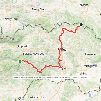 HardMulti-dayMarkedPred Čuntavou Dukliansky PassElevation profile227–1 293 m280.7 kmascent 8 346 munder 1 km from Skalisko
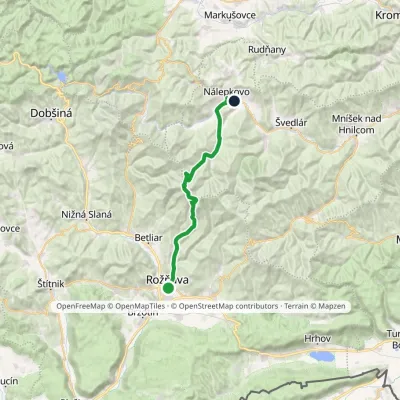 HardMulti-dayMarkedPavol Jozef Šafárik Trail: Rožňava NálepkovoElevation profile306–1 293 m28.8 kmascent 1 089 m≈ 9.5 h walkingunder 1 km from Skalisko
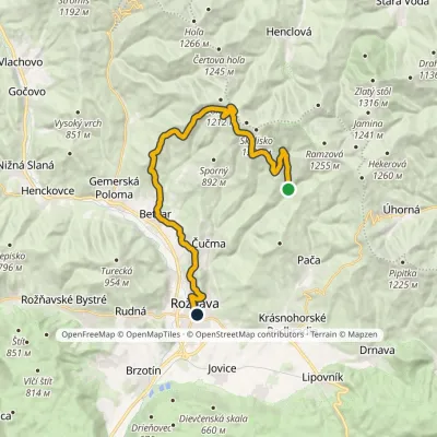 HardTwo-dayMarkedRožňava GrexaElevation profile306–1 209 m26.1 kmascent 837 m≈ 8 h walkingunder 1 km from Skalisko
Nearby attractions
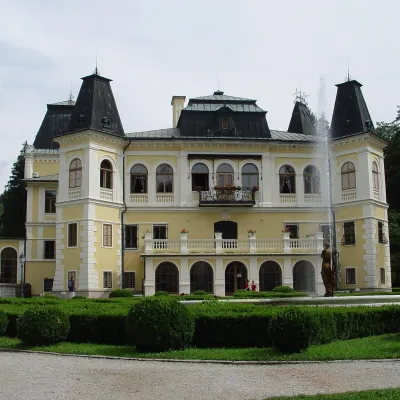 CastleBetliar Manor HouseBetliar6.4 km from SkaliskoBetliar Manor (Kaštieľ Betliar) is the most visited country house in south-eastern Slovakia. It stands in the village of Betliar, 7 km north of the town of Rožňava on...
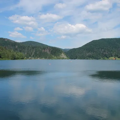 LakePalcmanská Maša reservoirDedinky19 km from SkaliskoPalcmanská Maša is the largest reservoir in the Slovak Paradise. It lies on the upper course of the Hnilec river, in a basin-like widening of the valley below the...
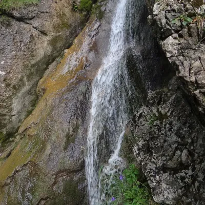 WaterfallZejmarská Gorge and the Nálepka waterfallsDedinky20 km from SkaliskoThe Zejmarská Gorge (Zejmarská roklina) is the shortest gorge in the Slovak Paradise National Park and the only limestone gorge in its southern part open to hikers.
Craft nearby
All craft places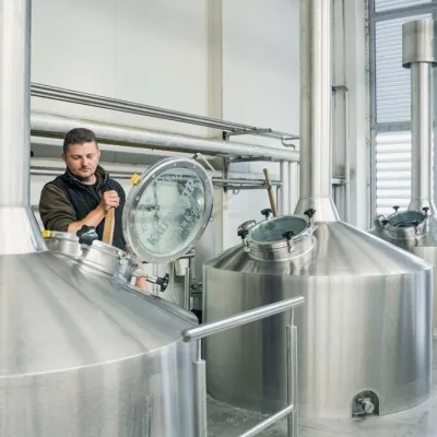 Craft beer & breweriesKaltenecker Brewery, Rožňava: Gemer craft beer from the sourceRožňava11 km from SkaliskoThe modern Kaltenecker brewery was founded in 1997, and from the start it took a different path from the big breweries of the day: instead of one-size-fits-all beer, a...
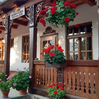 Markets & fairsGemer Craft Fair at Krásnohorská Dlhá Lúka below Krásna HôrkaKrásnohorská Dlhá Lúka13 km from SkaliskoKrásnohorská Dlhá Lúka is a village below Krásna Hôrka castle, a few kilometres from Rožňava. In 2002 the Association of Gemer Craftsmen (Združenie gemerských...
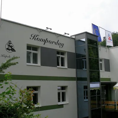 Water parks & thermal poolsŠtós spa: climatic cure, speleotherapy and poolŠtós16 km from SkaliskoKúpele Štós is a climatic spa in south-eastern Slovakia, in the settlement of Štós-kúpele a few kilometres north of the mining village of Štós, where the Volovské...
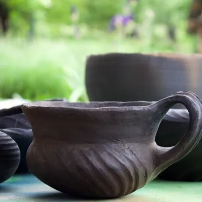 Crafts & workshopsHáj Pottery: wheel-thrown ceramics and wood-fired kilns in HájHáj24 km from SkaliskoAt the back of an old farmhouse here is Háj Pottery (Hájske hrnčiarstvo), run by Amália Holíková. She throws utility ware on the wheel and models it by hand, but her...
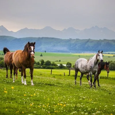 Horse ridingRanč u Trapera, Podlesok: Horse Rides in the Slovak ParadiseHrabušice29 km from SkaliskoA little away from the main tourist bustle, below the forest, stands the family-run Ranč u Trapera, run by the Salaj family.
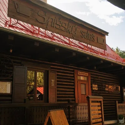 Koliby & Hutsul cuisineSpišský salaš below Spiš Castle: Spiš cooking since 1964Spišská Kapitula31 km from SkaliskoBetween Spiš Castle and Spišská Kapitula, at the edge of the plain below the travertine mound of Sivá brada, stands the wooden Spišský salaš.
