Stolica
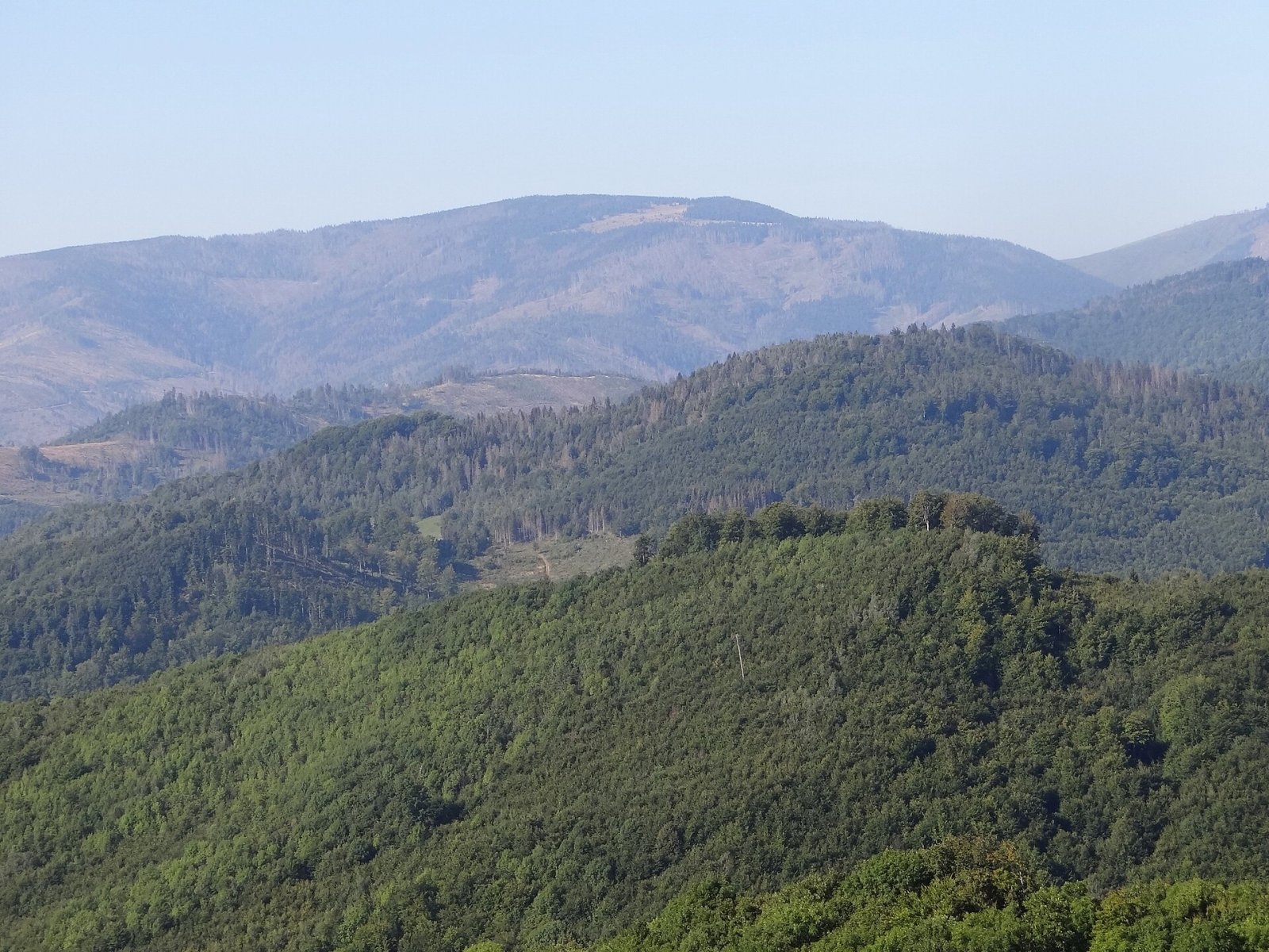
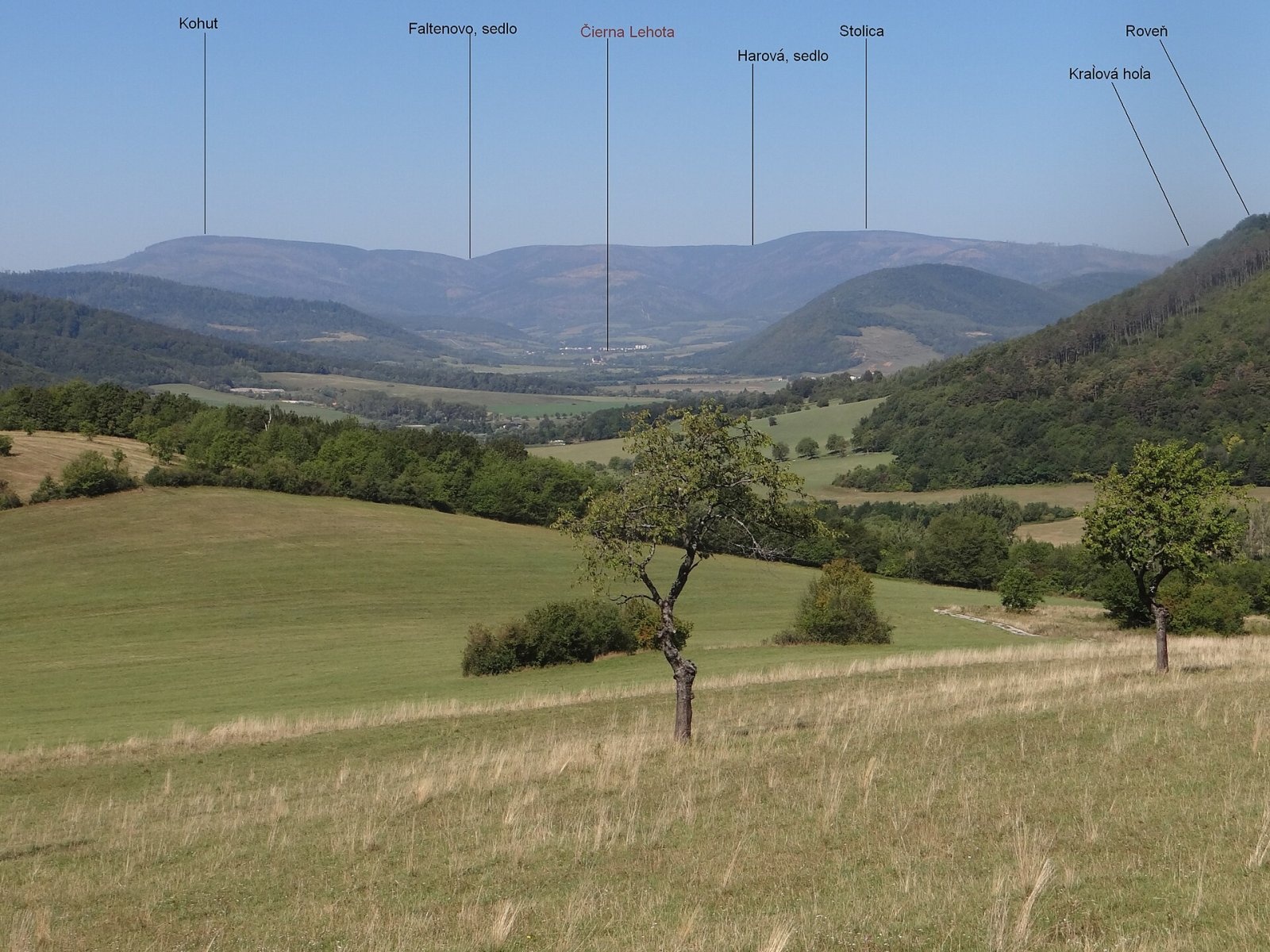
Stolica (Hungarian Sztolica) is the highest peak of the Stolické vrchy and of the entire Slovak Ore Mountains at 1,476 m. It stands in central Slovakia about 12 km north-east of the town of Revúca, and the boundary between the Banská Bystrica and Košice regions (Revúca and Rožňava districts) runs over it. Around it lie the villages of Rejdová, Muránska Zdychava, Čierna Lehota, Muránska Huta and Telgárt. The massive mountain stands south of the main Ore Mountains ridge, to which it is linked by the Slanské sedlo saddle (1,234 m). The eastern boundary of the buffer zone of Muránska planina National Park runs across the summit, and the mountain itself is part of the Stolica protected area.
The massif is a huge granite monolith, tectonically raised among crystalline schists. It forms a four-armed node with a broad flat top; to the north-west, beyond Slanské sedlo, rises Kyprov (1,391 m), to the south-west, beyond the Harová saddle (1,362 m), the broad ridge of Lehotská hoľa. The Slaná river (Hungarian Sajó) rises on the northern slopes, in a clearing right below the summit. The southern slopes feed the Lehotský potok to the Štítnik river, the western ones tributaries of the Muráň.
Getting there / trails
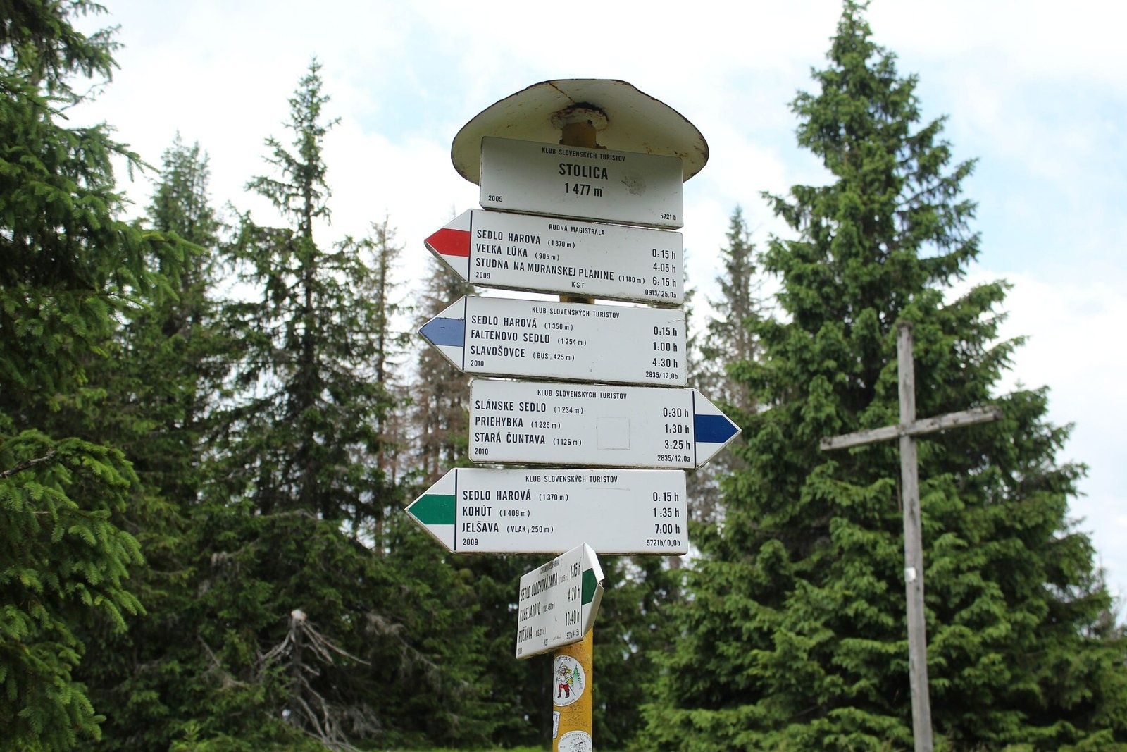
Stolica is a hub of marked trails; the red Rudná magistrála, which crosses the whole Ore Mountains, ends here. Times from a Polish guide (up / down):
- Blue markings from Slanské sedlo — 45 min / 25 min; red via the Harová saddle — 1 h 15 min / 45 min. The red trail reaches Slanské sedlo from Muránska Huta via the Javorinka saddle.
- Blue and green markings from Faltenovo sedlo via Harová — 1 h 45 min / 1 h; the saddle can be reached from Čierna Lehota or Muránska Zdychava.
- Green markings — the «Pavol Jozef Šafárik Trail» from the Cúdenisko-Paseky junction (Brdárka) via the Olochova jama saddle — 2 h 15 min / 1 h 45 min; trails from Slavošovce and Rejdová lead here too.
On the summit stand a simple wooden cross, a metal signpost «mushroom» and a box with a summit book.
The view
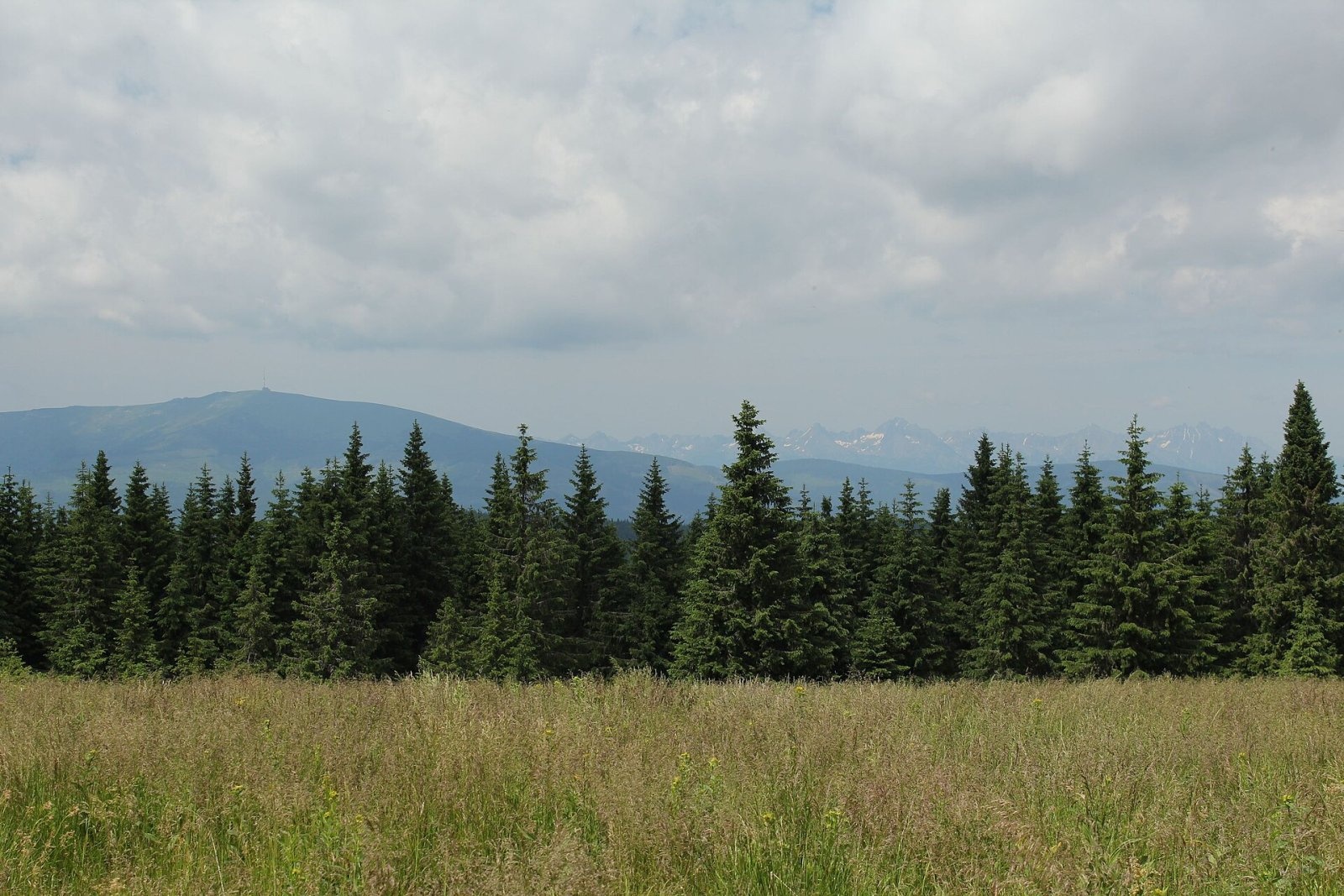
The top is partly forested, so views open only from clearings, mainly on the southern and north-eastern slopes. The view of neighbouring Kráľova hoľa (1,946 m) and the whole Kráľova hoľa ridge of the Low Tatras is especially fine; in good weather the High Tatras are visible too.
Nature
The massif is almost entirely forested: beech lower down, higher up Carpathian spruce forest with sycamore and rowan, black honeysuckle in the understorey, and alpine lady fern, Austrian leopard's-bane and large white buttercup in the herb layer, with the rare yellow Sudeten pansy on old pastures. The top and ridges were once covered with heavily grazed meadows; some were replanted, others overgrown by mat-grass. Sheathed cottongrass and bogbean grow by the springs. In recent years the forests below the summit have been badly damaged by storms. Nutcrackers, adders and brown bears live here.
Safety and rules
These are lonely mountains with no hut on the summit: rely on yourself, carry water and be alert — bears live in the massif. In Muránska planina National Park and its buffer zone keep to marked trails. Slovak Mountain Rescue Service (HZS): 18 300 (+421 18 300) or 112.
Photos: TrSzGabesz, CC BY-SA 4.0; TrSzGabesz, CC BY-SA 4.0; ++Jerzy Opioła, CC BY-SA 4.0; Jerzy Opioła, CC BY-SA 4.0 — Wikimedia Commons.
Getting there from Ukraine
Border crossings
- Uzhhorod – Vyšné Nemecké — road, 24/7
- Malyi Bereznyi – Ubľa — road, 24/7 For cars and buses; pedestrians not confirmed by the Ukrainian border service, lorries up to 3.5 t.
- Mali Selmentsi – Veľké Slemence (pedestrian) — pedestrian, 09:00–21:00 Kyiv time Pedestrians and cyclists only; inconvenient for the Tatras without onward transport.
- Chop – Čierna nad Tisou (rail) — rail, 24/7
By car
From Uzhhorod ≈182 km, ≈2 h 45 min without queues: Uzhhorod – Vyšné Nemecké → I/19 via Sobrance and Michalovce to Košice → D1 motorway via Prešov to the exit near Levoča → road 533 to Spišská Nová Ves (≈177 km, ≈2 h 30 min from the border). From Lviv via Uzhok and Ubľa ≈407 km, ≈6 h 40 min; through Poland (Kraków – Nowy Targ) ≈496 km, ≈6 h 20 min. The D1 requires an e-vignette (eznamka.sk).
Checked 23.10.2026; border crossing hours and timetables change — check before you travel.
Location on the map
Water and shelter nearby
- Spring below Stolica (south slope), 1 456 m150 m · Not verified · 1 456 m
- Slaná Spring350 m · Not verified · 1 447 m
- Harová Spring420 m · Not verified · 1 386 m
- Spring below Stolica (south-west slope)550 m · Not verified · 1 326 m
- Spring below Stolica (south slope), 1 307 m690 m · Not verified · 1 307 m
- Mlynná Spring1.1 km · Not verified · 1 215 m
- Spring below Stolica (north-east slope)1.3 km · Not verified · 1 325 m
- Spring below Faltenov vrch (north-east slope)2.3 km · Not verified · 1 275 m
- Spring below Faltenov vrch (north slope)2.6 km · Not verified · 1 304 m
- Spring below Kyprov (west slope), 1 168 m2.7 km · Not verified · 1 168 m
- Spring below Kyprov (west slope), 1 170 m2.8 km · Not verified · 1 170 m
Comments
Trails nearby
All trails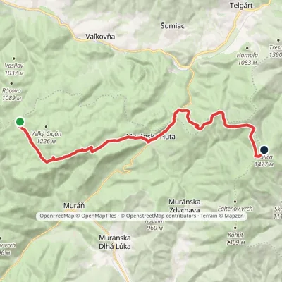 HardTwo-dayMarkedRudná magistrála: Kadak StolicaElevation profile706–1 479 m23.5 kmascent 833 m≈ 7.5 h walkingunder 1 km from Stolica
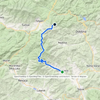 HardMulti-dayMarkedStará Čuntava SlavošovceElevation profile415–1 477 m27.5 kmascent 1 329 m≈ 9.5 h walkingunder 1 km from Stolica
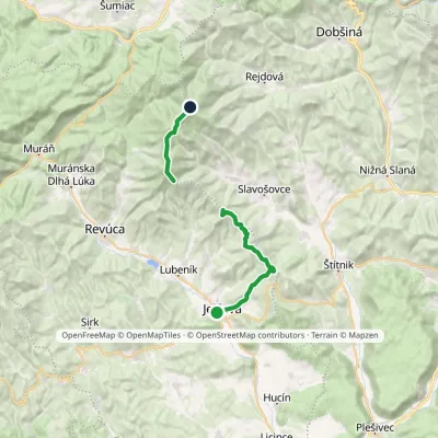 HardTwo-dayMarkedPavol Jozef Šafárik Trail: Jelšava StolicaElevation profile256–1 479 m21.5 kmascent 1 767 m≈ 9 h walkingunder 1 km from Stolica
Nearby attractions
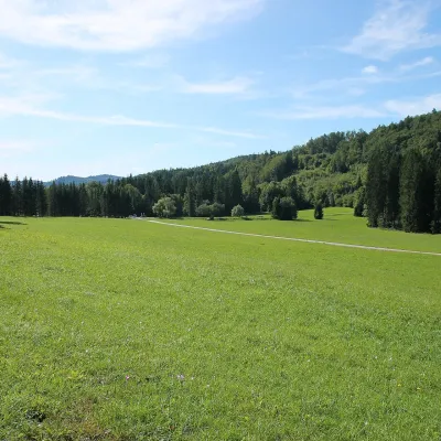 Mountain meadowVeľká lúka on Muránska planinaMuráňaltitude 887 m10 km from StolicaVeľká lúka («the Great Meadow») is a huge mountain meadow on the limestone Muránska planina plateau north of the village of Muráň, in the south-eastern part of the...
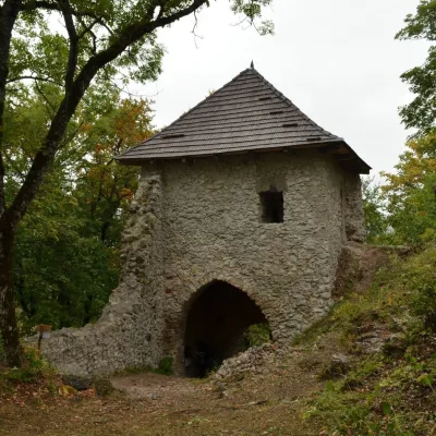 CastleMuráň CastleMuráň11 km from StolicaMuráň Castle (Muránsky hrad, officially Muráň) is the ruin of a medieval castle on the summit of Cigánka (935 m) at the southern edge of the Muránska planina plateau,...
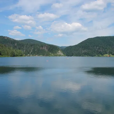 LakePalcmanská Maša reservoirDedinky16 km from StolicaPalcmanská Maša is the largest reservoir in the Slovak Paradise. It lies on the upper course of the Hnilec river, in a basin-like widening of the valley below the...
Craft nearby
All craft places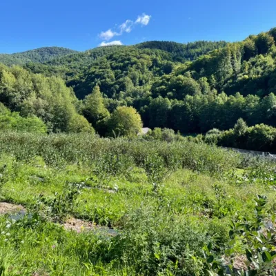 Eco farmsČučoriedková záhrada: pick-your-own blueberries and aronia juiceRatkovské Bystré18 km from StolicaHere in 2010 the owners’ family planted the first Canadian blueberry bushes on a small plot — and gradually grew them into the Čučoriedková záhrada (Blueberry Garden).
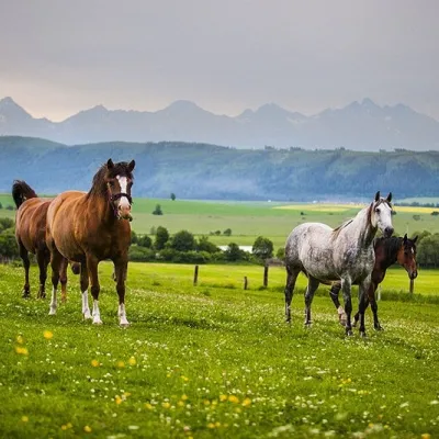 Horse ridingRanč u Trapera, Podlesok: Horse Rides in the Slovak ParadiseHrabušice25 km from StolicaA little away from the main tourist bustle, below the forest, stands the family-run Ranč u Trapera, run by the Salaj family.
 Cheese dairies & pasturesSalaš Zbojská: sheep’s cheese, bryndza and žinčica on the passTisovec26 km from StolicaThe Zbojská pass lies at about 740 metres in the forests between Brezno and Tisovec, on the edge of the Hron valley and the Muránska planina plateau.
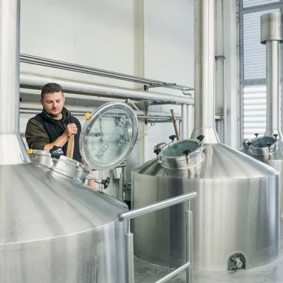 Craft beer & breweriesKaltenecker Brewery, Rožňava: Gemer craft beer from the sourceRožňava28 km from StolicaThe modern Kaltenecker brewery was founded in 1997, and from the start it took a different path from the big breweries of the day: instead of one-size-fits-all beer, a...
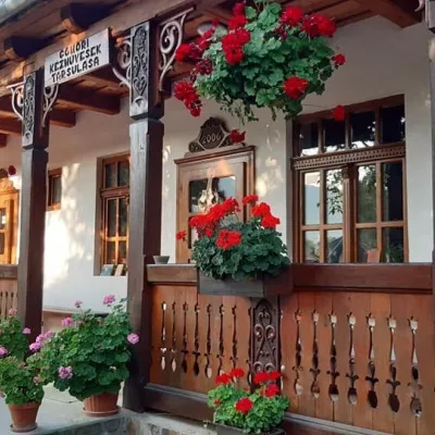 Markets & fairsGemer Craft Fair at Krásnohorská Dlhá Lúka below Krásna HôrkaKrásnohorská Dlhá Lúka32 km from StolicaKrásnohorská Dlhá Lúka is a village below Krásna Hôrka castle, a few kilometres from Rožňava. In 2002 the Association of Gemer Craftsmen (Združenie gemerských...
 Craft beer & breweriesMinipivovar TATRAS, PopradPoprad32 km from StolicaMinipivovar TATRAS is a brewpub on Poprad’s main square, Námestie sv. Egídia, housed in a building with a long brewing history.
