Banská Bystrica Region
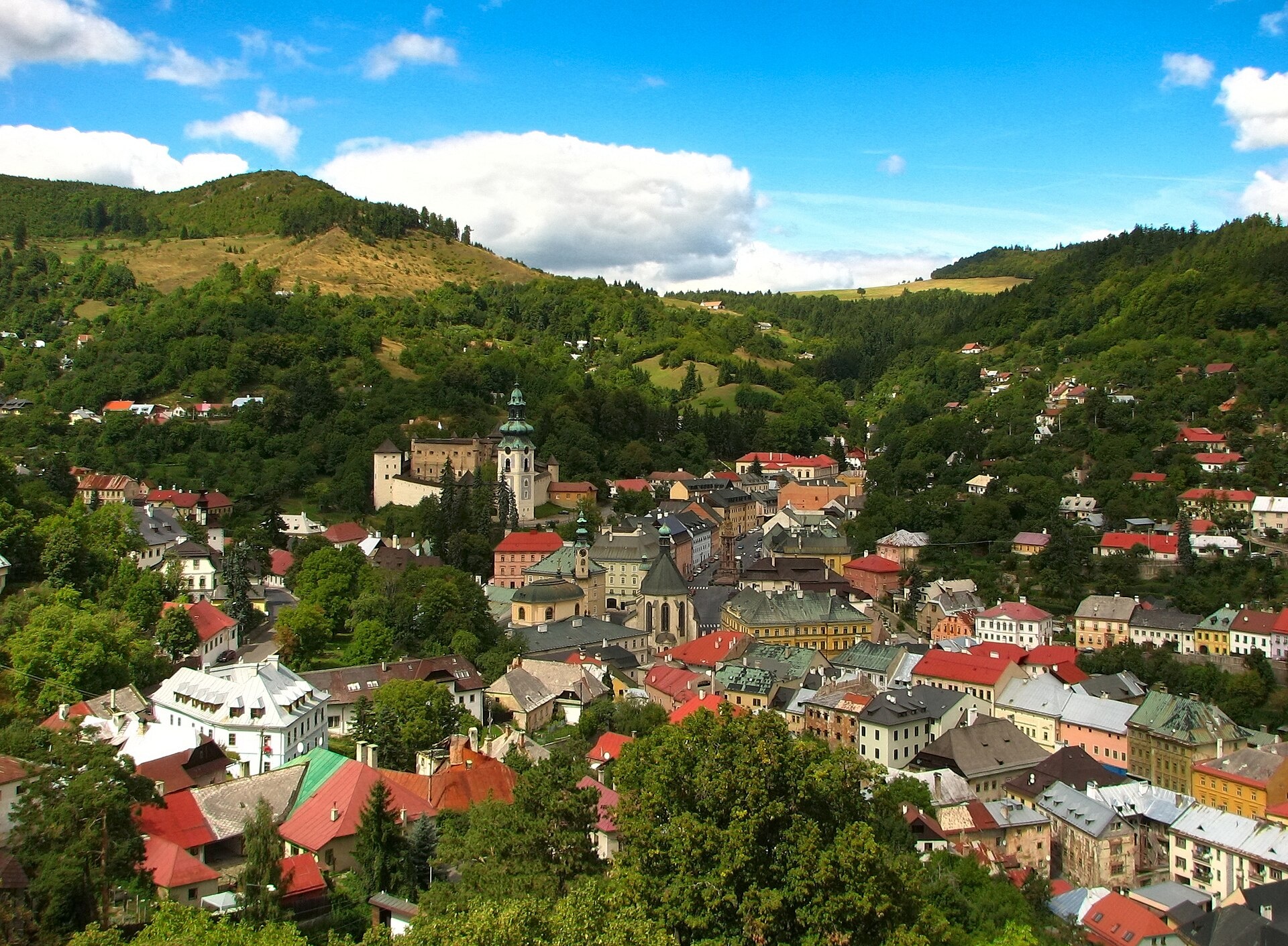
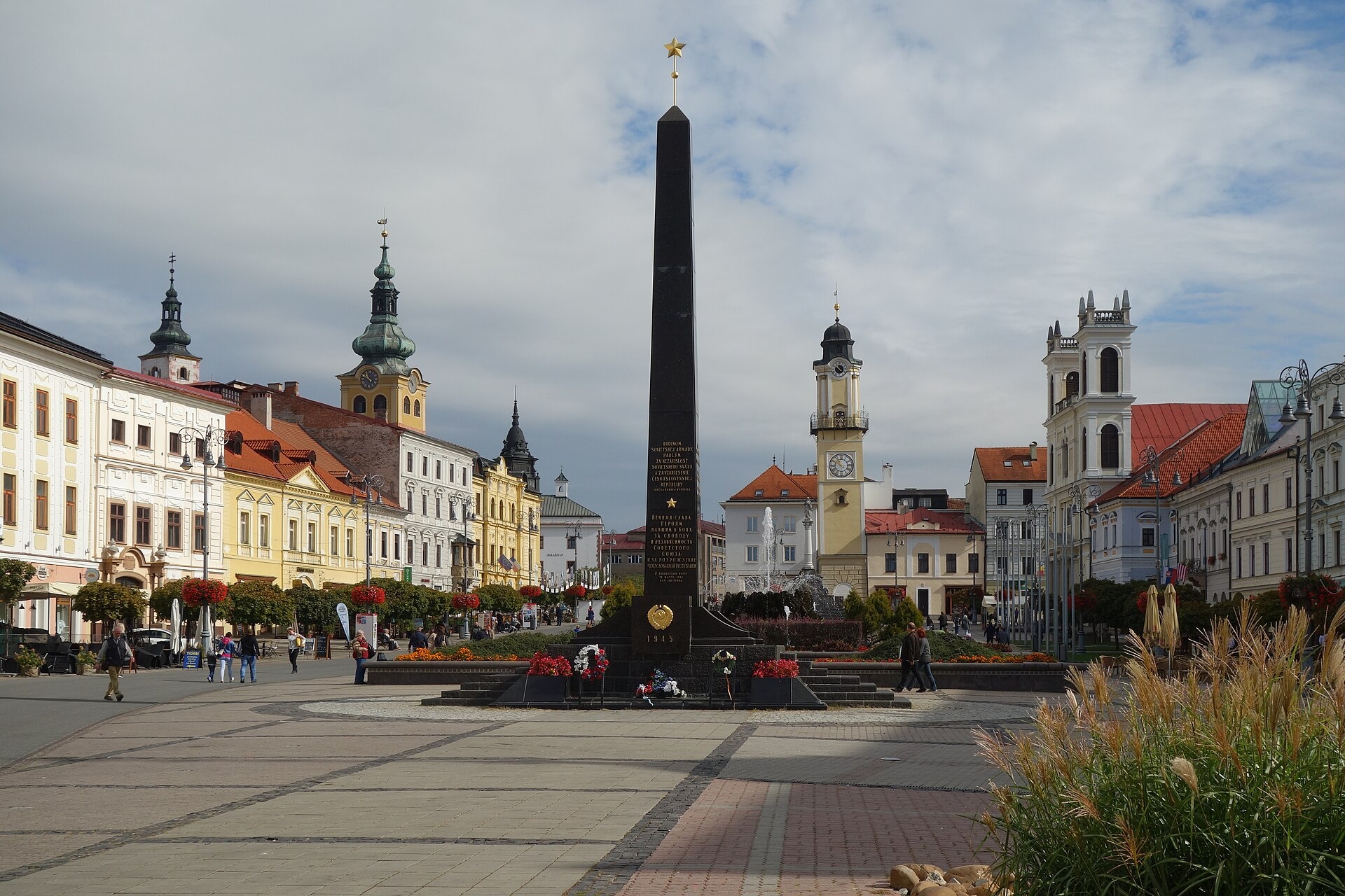
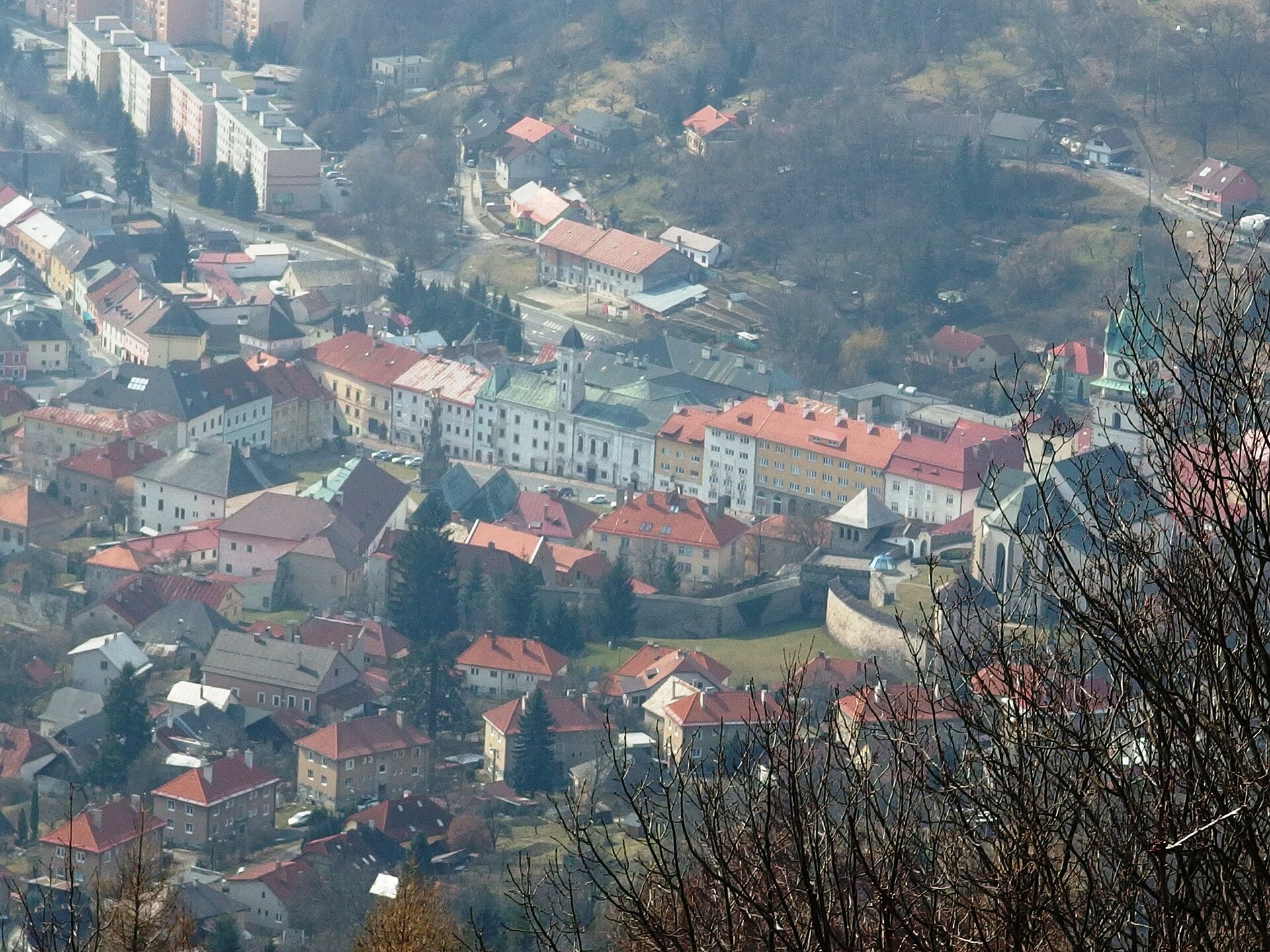
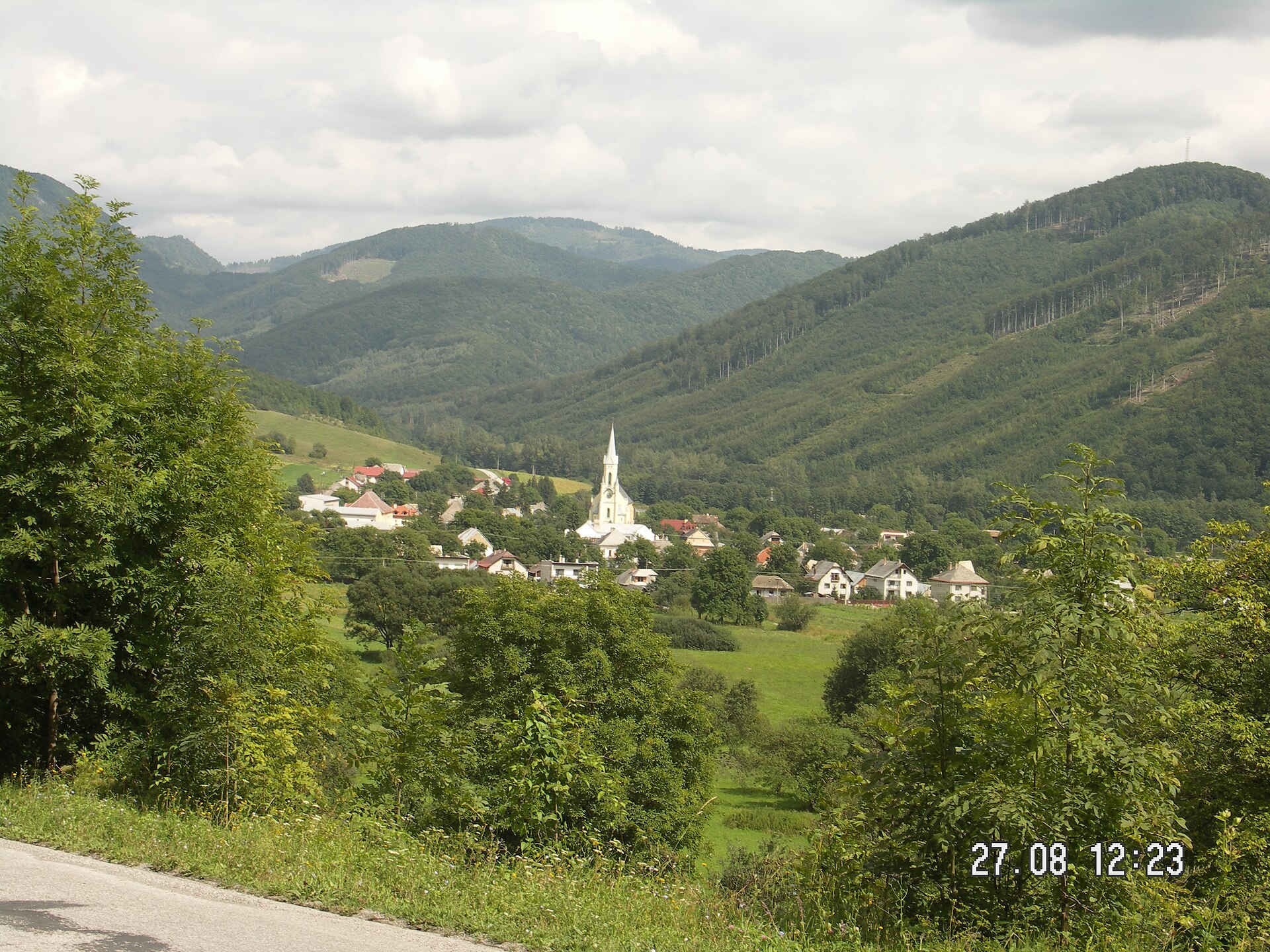
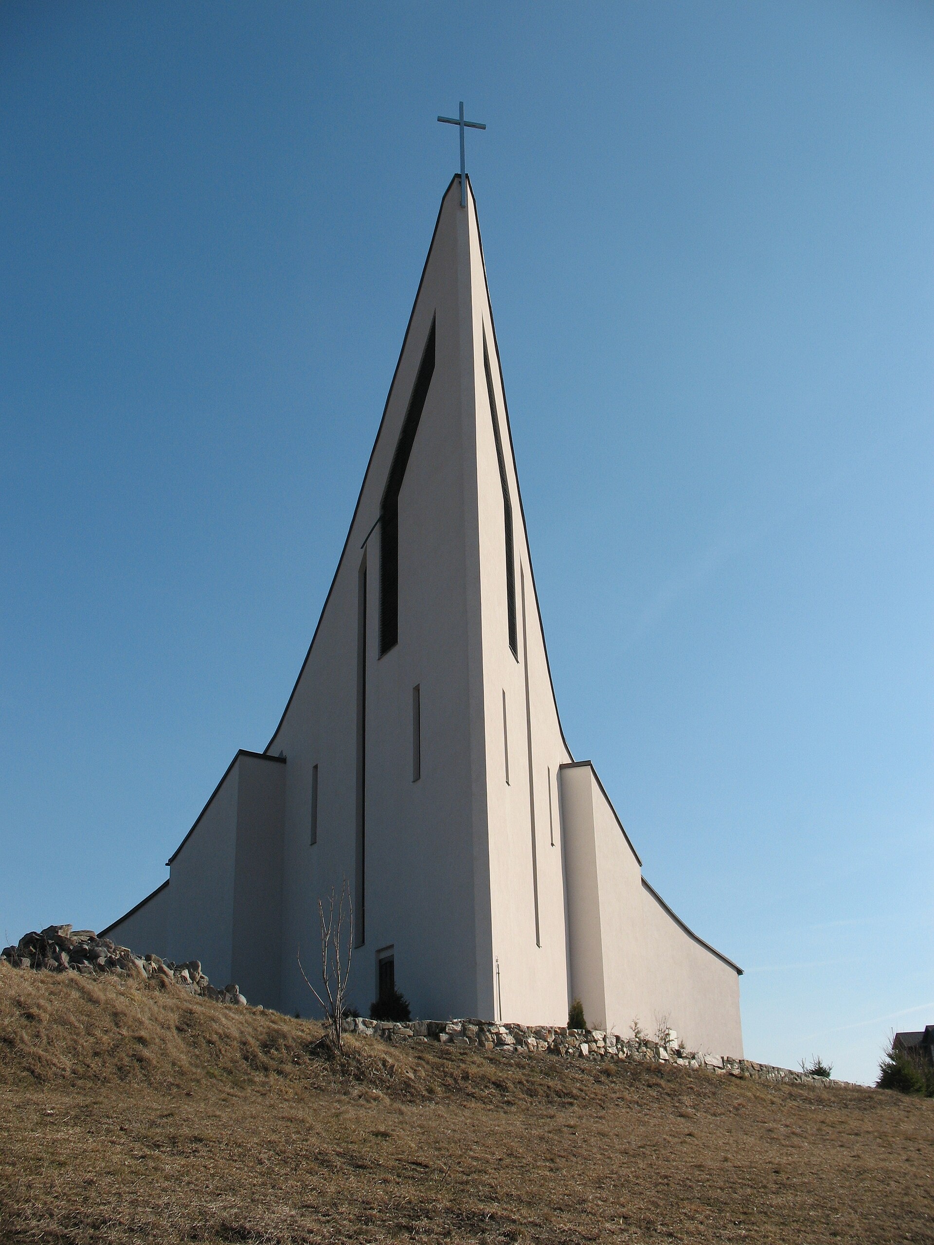
Photos: Banská Štiavnica (Adrian Tync, CC BY-SA 4.0); Banská Bystrica (Milan Bališin, CC BY-SA 4.0); Kremnica (Michal Jakubský, CC BY 3.0); Muráň (Jozef Gafrik III., Public domain); Hriňová (Martiner111, Public domain)
Banská Bystrica Region is an administrative unit of Slovakia, with its centre in the city of Banská Bystrica. Located in the southern part of central Slovakia, it borders Hungary as well as the Žilina, Prešov, Košice, Nitra, and Trenčín regions. The region consists of 13 districts and 514 municipalities, including 24 towns such as Banská Bystrica, Zvolen, Lučenec, Rimavská Sobota, Banská Štiavnica, and Brezno.
The region is predominantly mountainous, featuring the Low Tatras, Kremnica Mountains, Štiavnica Mountains, Krupina Plain, and parts of the Veľká Fatra and Muránska planina. Notable natural features include Kráľova hoľa, Poľana, Sitno, Klenovský Vepor, as well as caves and upland meadows. The region is also known for its mineral springs, spas, and craft traditions.
On karpaty.rocks you will find over 260 hiking trails, such as Jasenie – Chabenec and Pohorelá – Andrejcova Hut, as well as mountain huts like Chata pod Kráľovou hoľou and Štefánikova chata pod Ďumbierom. Highlights include Bystrianska and Harmanecká caves, Muráň and Ľupča castles, Čiernohronská forest railway, and local craft workshops, cheese dairies, and breweries.
Getting there from Ukraine
From Uzhhorod to Brezno ≈274 km, ≈3 h 50 min without queues: Uzhhorod – Vyšné Nemecké → I/19 to Košice → D1 via Prešov and Poprad to the exit near Liptovský Hrádok → I/18 and I/72 over the Čertovica Pass to Brezno. To Banská Bystrica ≈322 km, ≈4 h 30 min: D1 to Ružomberok, then I/59 via Donovaly. The D1 requires an e-vignette (eznamka.sk).
Sources: Wikipedia, Wikidata, OpenStreetMap, Karpaty.rocks data.
What's nearby
Towns, villages and districts
 Banská Bystrica Districtokres Banská Bystrica76 trails, 5 peaks, 6 sights
 Brezno Districtokres Brezno82 trails, 3 peaks, 4 sights
 Revúca Districtokres Revúca41 trails, 3 peaks, 2 sights
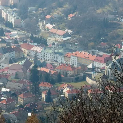 Žiar nad Hronom Districtokres Žiar nad Hronom39 trails, 2 peaks, 1 sight
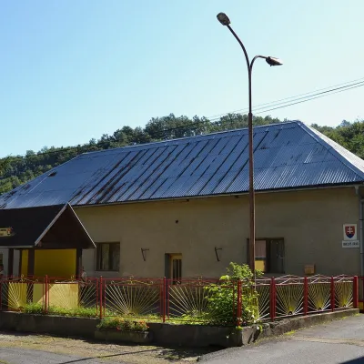 Lučenec Districtokres Lučenec34 trails, 1 peak, 18 settlements
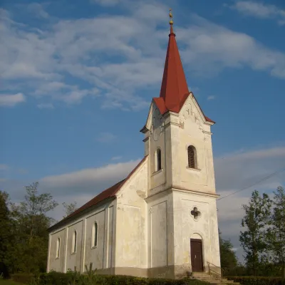 Rimavská Sobota Districtokres Rimavská Sobota30 trails, 2 craft places, 1 spa or thermal pool
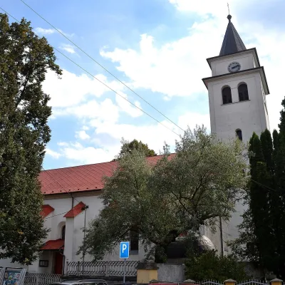 Žarnovica Districtokres Žarnovica30 trails, 11 settlements
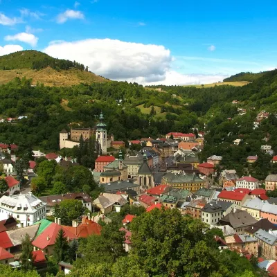 Banská Štiavnica Districtokres Banská Štiavnica19 trails, 1 peak, 5 sights
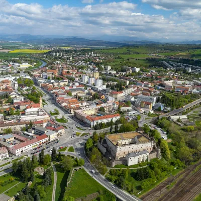 Zvolen Districtokres Zvolen21 trails, 1 sight, 1 craft place
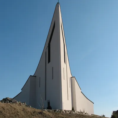 Detva Districtokres Detva17 trails, 1 peak, 1 sight
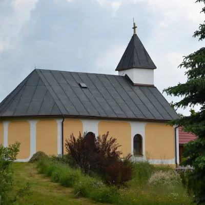 Poltár Districtokres Poltár15 trails, 7 settlements
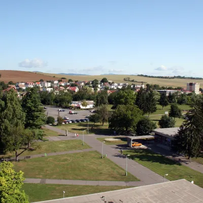 Krupina Districtokres Krupina7 trails, 1 spa or thermal pool, 4 settlements
Getting there from Ukraine
Border crossings
- Uzhhorod – Vyšné Nemecké — road, 24/7
- Malyi Bereznyi – Ubľa — road, 24/7 For cars and buses; pedestrians not confirmed by the Ukrainian border service, lorries up to 3.5 t.
- Mali Selmentsi – Veľké Slemence (pedestrian) — pedestrian, 09:00–21:00 Kyiv time Pedestrians and cyclists only; inconvenient for the Tatras without onward transport.
- Chop – Čierna nad Tisou (rail) — rail, 24/7
By car
From Uzhhorod to Brezno ≈274 km, ≈3 h 50 min without queues: Uzhhorod – Vyšné Nemecké → I/19 to Košice → D1 via Prešov and Poprad to the exit near Liptovský Hrádok → I/18 and I/72 over the Čertovica Pass to Brezno. To Banská Bystrica ≈322 km, ≈4 h 30 min: D1 to Ružomberok, then I/59 via Donovaly. From Lviv: to Brezno via Uzhok and Ubľa ≈498 km (≈7 h 45 min) or through Poland ≈554 km (≈7 h 05 min); to Banská Bystrica through Poland (Kraków – Chyżne – Trstená – Dolný Kubín – Ružomberok) ≈535 km, ≈7 h 15 min. The D1 requires an e-vignette (eznamka.sk).
Checked 23.10.2026; border crossing hours and timetables change — check before you travel.
