Banská Bystrica District
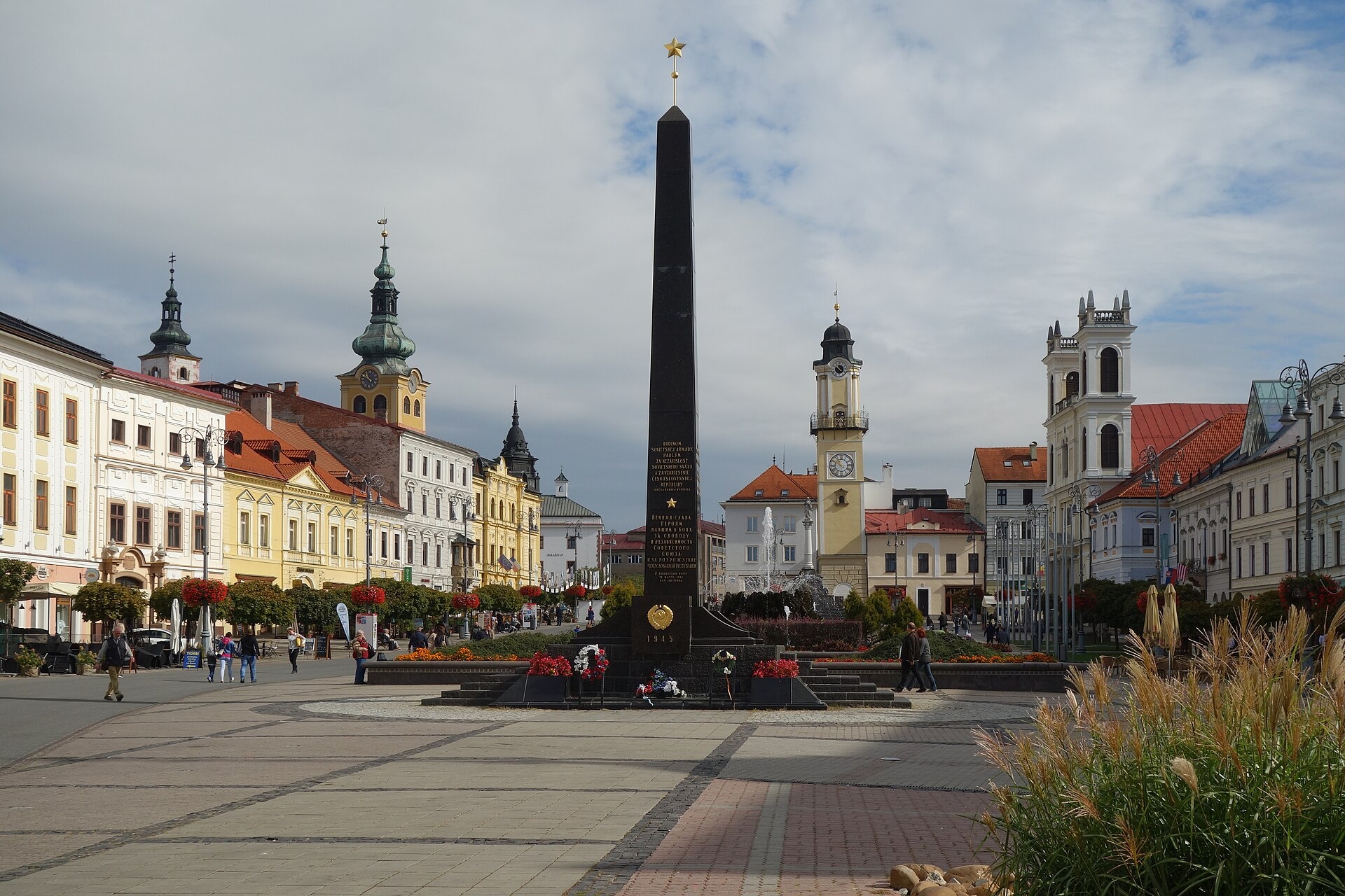
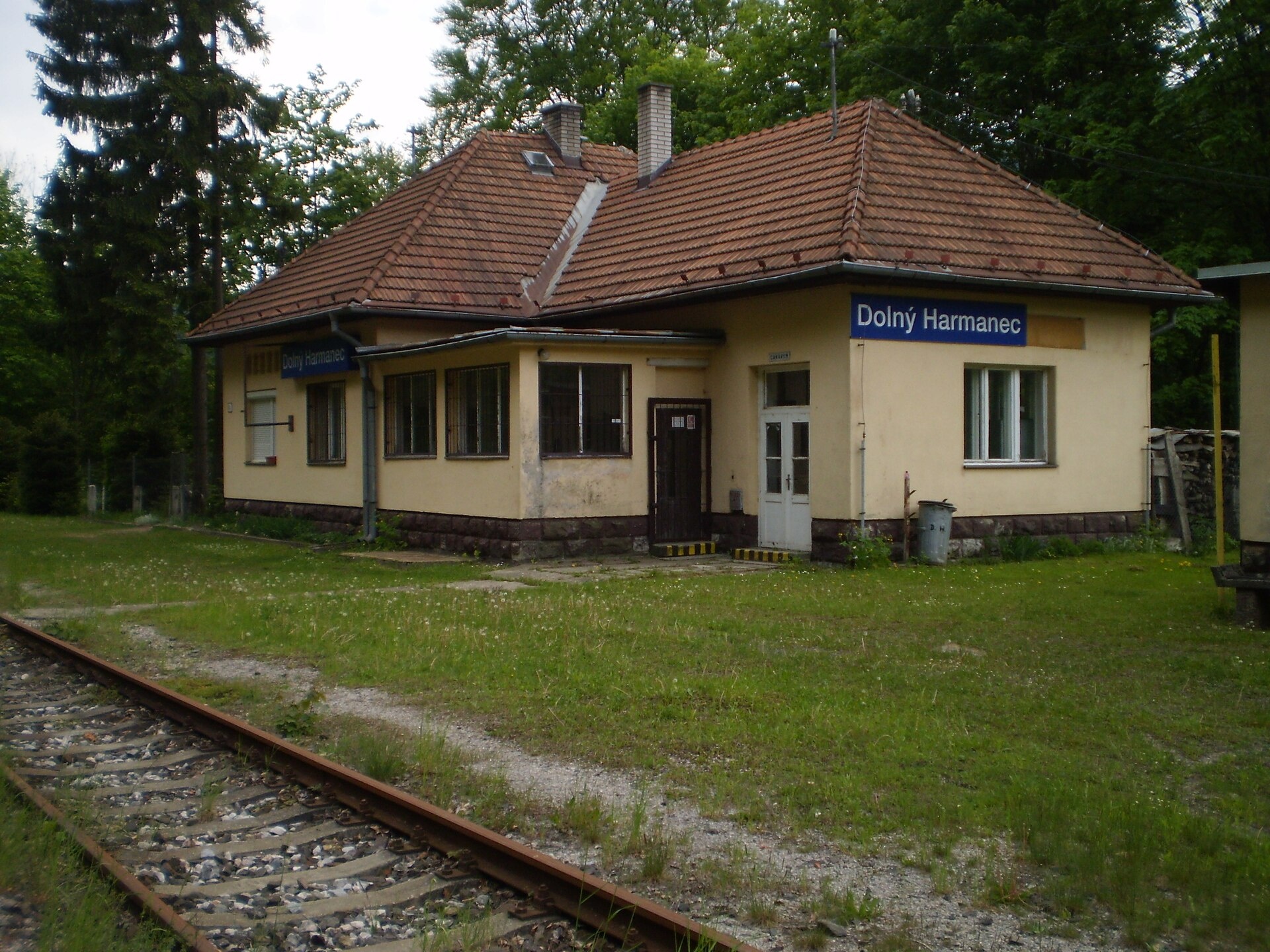
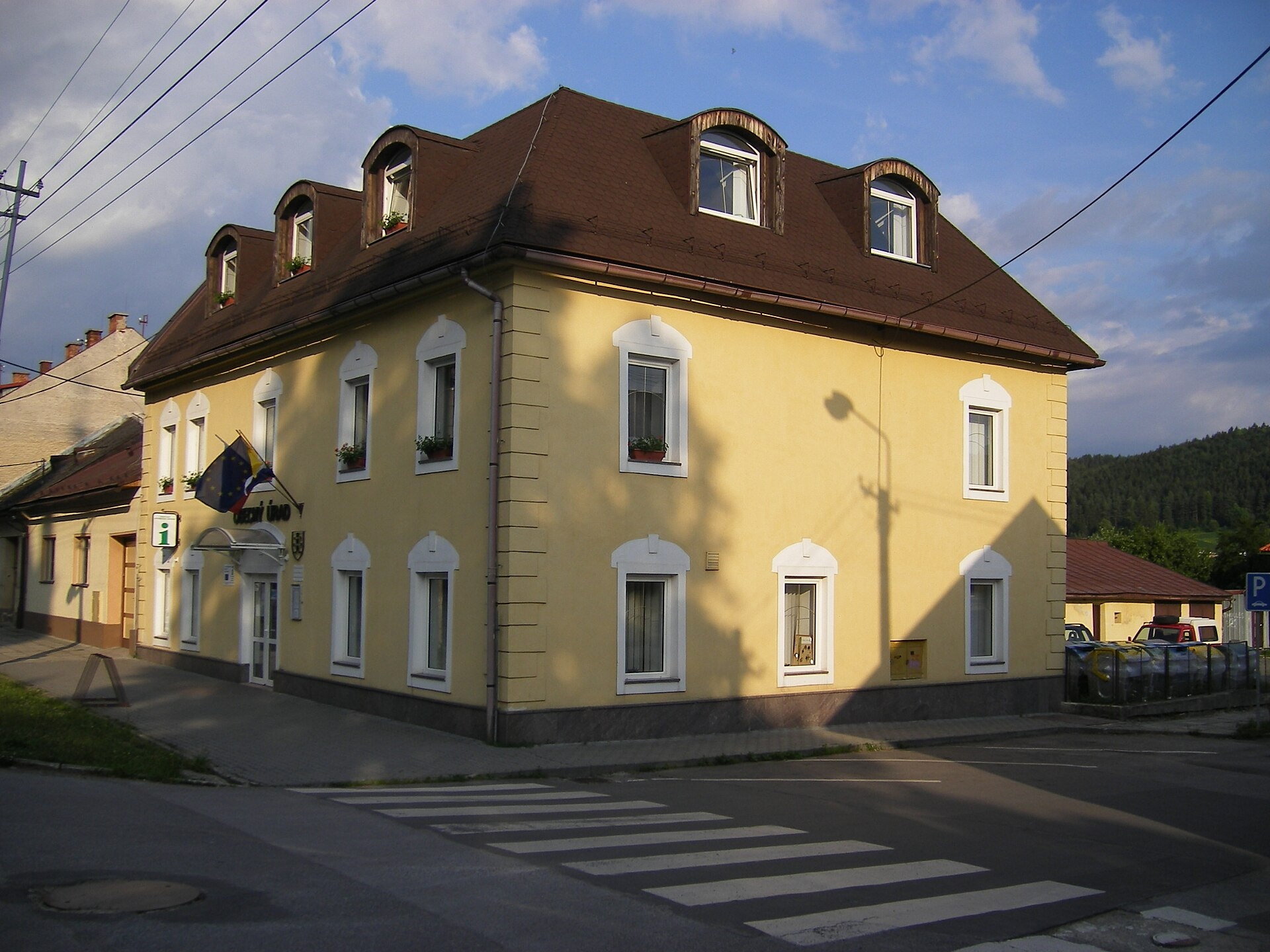
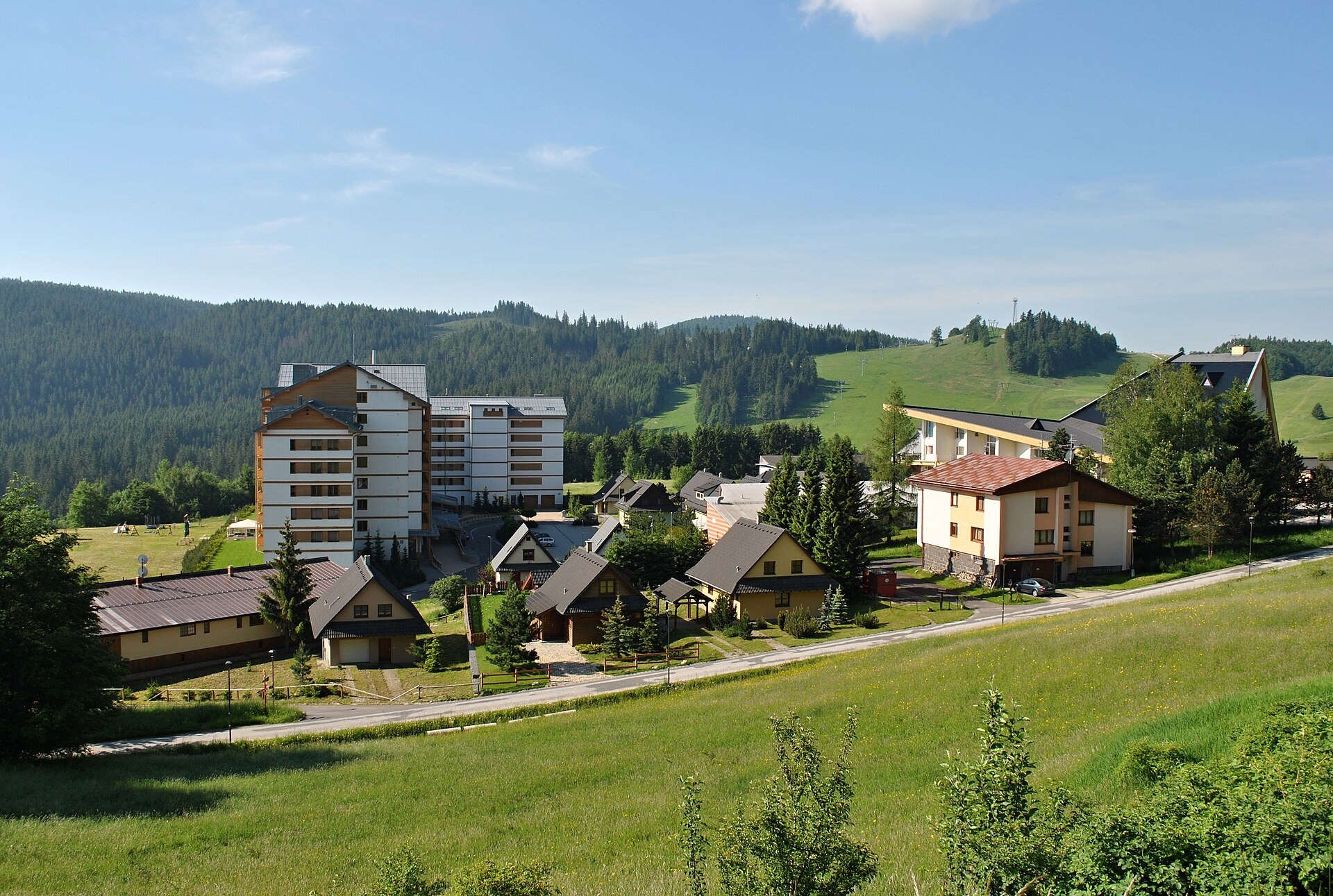
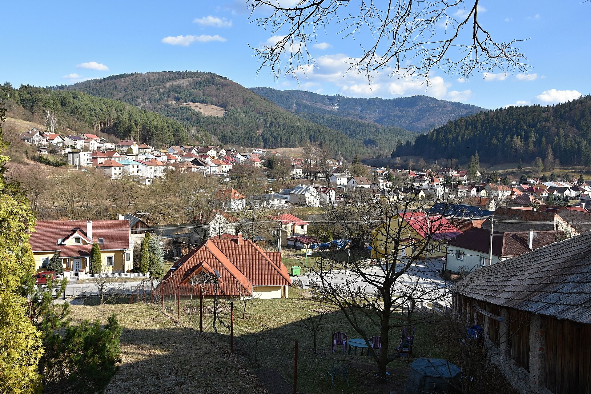
Photos: Banská Bystrica (Milan Bališin, CC BY-SA 4.0); Dolný Harmanec (David Mikula, CC BY-SA 4.0); Slovenská Ľupča (Szeder László, CC BY-SA 3.0); Donovaly (Patrik Kunec, CC BY-SA 4.0); Brusno (Patrik Kunec, CC BY-SA 4.0)
Banská Bystrica District is an administrative district in the Banská Bystrica Region of central Slovakia. Its centre is the city of Banská Bystrica. Until 1918, the area was part of the historical Zvolen county within the Kingdom of Hungary. The district borders Brezno, Zvolen, Žiar nad Hronom, Turčianske Teplice, Martin, and Ružomberok districts.
The area features the Kremnické vrchy, Malachovské and Turovské foothills, Flochovský ridge, and Jastrabská highlands. The Hron River and its tributary Badínsky potok flow through the district. Notable natural sites include the Kralická gorge and the meadows of Veľká Fatra.
Karpaty.rocks lists objects in Banská Bystrica, Dolný Harmanec, Turecká, Staré Hory, Ľubietová, Brusno, Donovaly, Poniky, Špania Dolina, Malachov, Hrochoť, and Pohronský Bukovec. There are hiking trails such as the Veľkofatranská magistrála and a route to Ostredok peak. Sights include Harmanec Cave, Ľupča Castle, Kráľova studňa, and Thurzo House. You can visit the Urpiner brewery, ÚĽUV crafts shop, Brusno spa, and the shelter under Grb.
Getting there from Ukraine
From Uzhhorod to Banská Bystrica: via Vyšné Nemecké, Košice, Prešov, Poprad, Ružomberok, and Donovaly (≈322 km, ≈4 h 30 min without queues). From Lviv: via Poland (Kraków, Chyżne, Trstená, Dolný Kubín, Ružomberok) ≈535 km, ≈7 h 15 min. The D1 requires an e-vignette (eznamka.sk).
Sources: Wikipedia, Wikidata, OpenStreetMap, Karpaty.rocks data.
Towns and villages
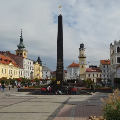 Banská Bystrica13 trails, 1 peak, 1 sight
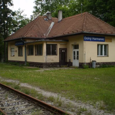 Dolný Harmanec9 trails, 2 sights
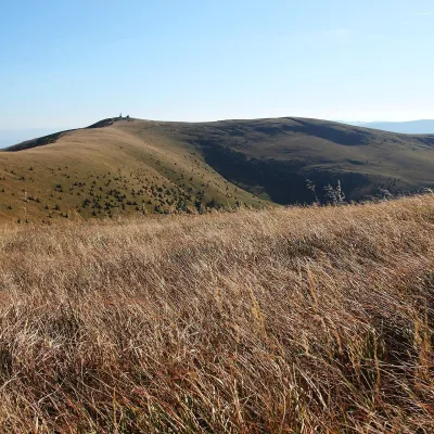 Turecká6 trails, 1 peak, 1 sight
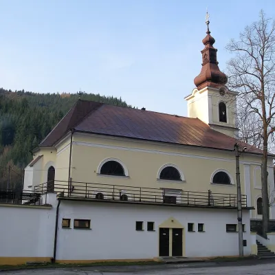 Staré Hory7 trails
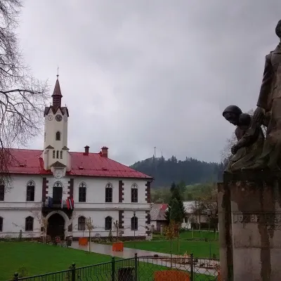 Ľubietová5 trails, 1 mountain hut or shelter
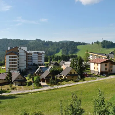 Donovaly4 trails
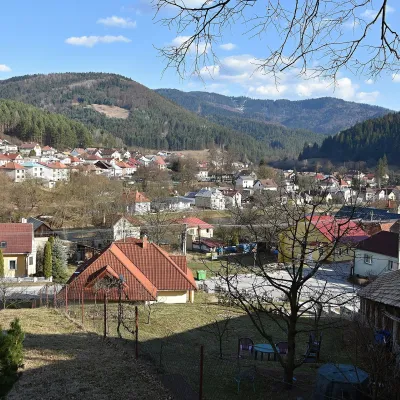 Brusno3 trails, 1 spa or thermal pool
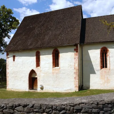 Poniky4 trails
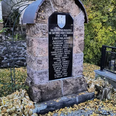 Malachov3 trails
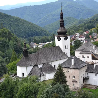 Špania Dolina3 trails
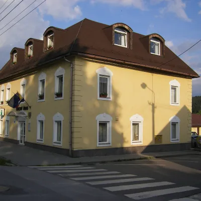 Slovenská Ľupča1 trail, 1 sight
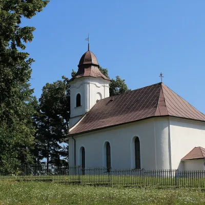 Hrochoť2 trails
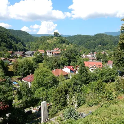 Tajov2 trails
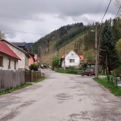 Pohronský Bukovec2 trails
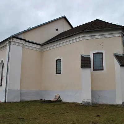 Badín1 trail
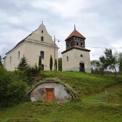 Selce1 trail
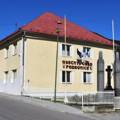 Podkonice1 trailRiečka1 trail
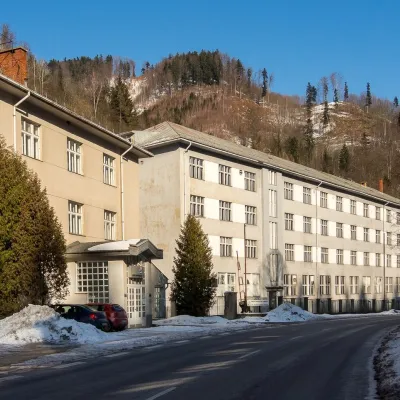 Harmanec1 trail
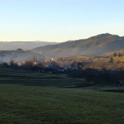 Strelníky1 trail
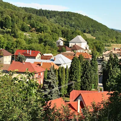 Horná Mičiná1 trail
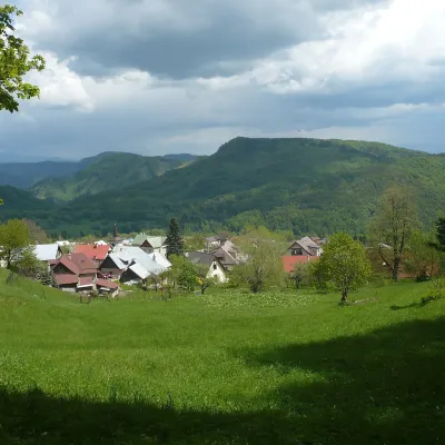 Kordíky1 trail
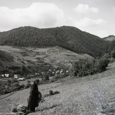 Hiadeľ1 trail
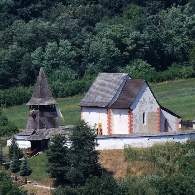 Čerín1 trail
Getting there from Ukraine
Border crossings
- Uzhhorod – Vyšné Nemecké — road, 24/7
- Malyi Bereznyi – Ubľa — road, 24/7 For cars and buses; pedestrians not confirmed by the Ukrainian border service, lorries up to 3.5 t.
- Mali Selmentsi – Veľké Slemence (pedestrian) — pedestrian, 09:00–21:00 Kyiv time Pedestrians and cyclists only; inconvenient for the Tatras without onward transport.
- Chop – Čierna nad Tisou (rail) — rail, 24/7
By car
From Uzhhorod to Brezno ≈274 km, ≈3 h 50 min without queues: Uzhhorod – Vyšné Nemecké → I/19 to Košice → D1 via Prešov and Poprad to the exit near Liptovský Hrádok → I/18 and I/72 over the Čertovica Pass to Brezno. To Banská Bystrica ≈322 km, ≈4 h 30 min: D1 to Ružomberok, then I/59 via Donovaly. From Lviv: to Brezno via Uzhok and Ubľa ≈498 km (≈7 h 45 min) or through Poland ≈554 km (≈7 h 05 min); to Banská Bystrica through Poland (Kraków – Chyżne – Trstená – Dolný Kubín – Ružomberok) ≈535 km, ≈7 h 15 min. The D1 requires an e-vignette (eznamka.sk).
Checked 23.10.2026; border crossing hours and timetables change — check before you travel.
