Hiadeľ
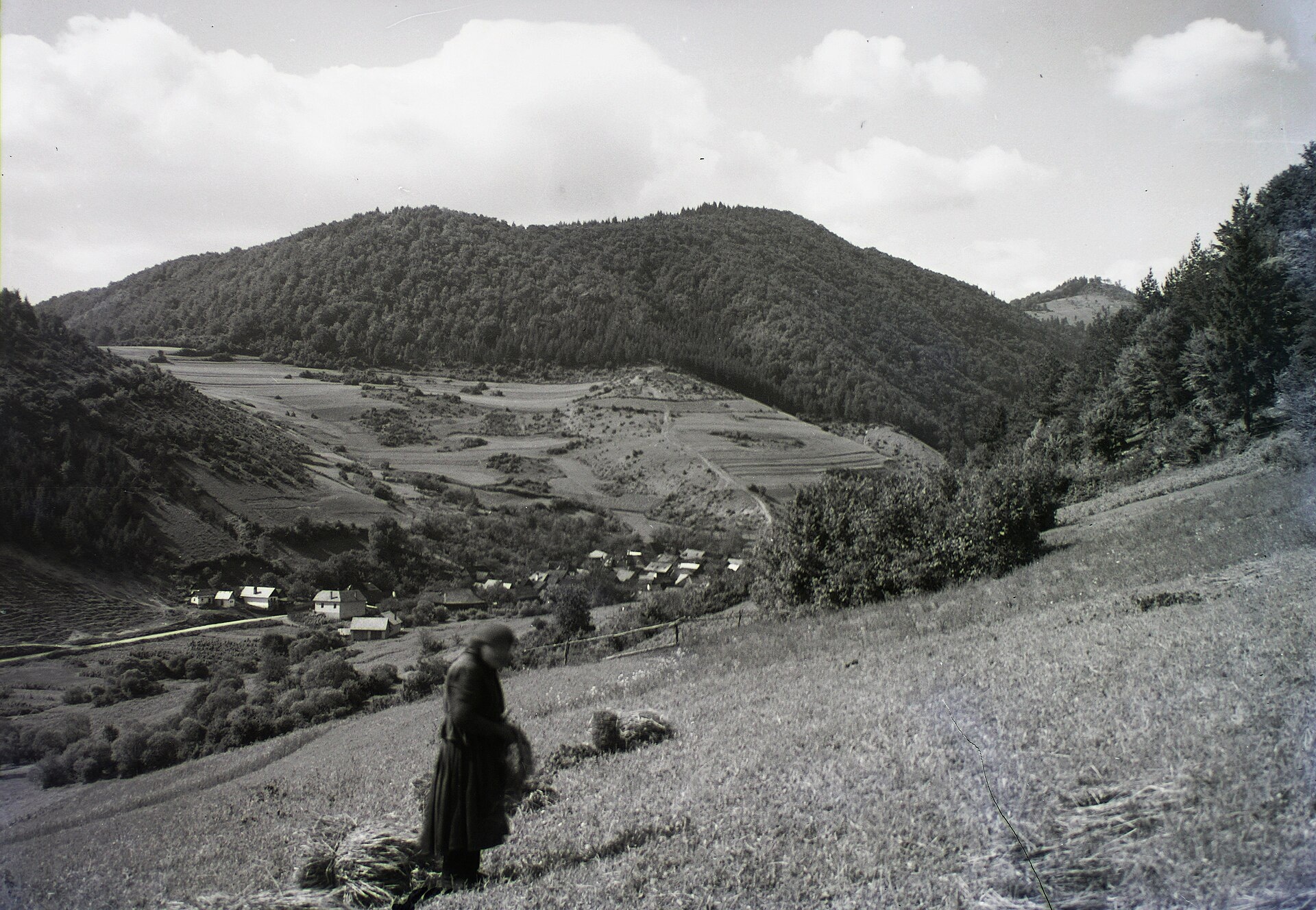
Photos: FOTO:Fortepan — ID 95416: Adományozó/Donor: Schermann Ákos. archive copy at the Wayback Machine, CC BY-SA 3.0 (Wikimedia Commons)
Hiadeľ is a village in Slovakia.
Elevation: about 490 m above sea level. Population: 496 (2025). Mountains nearby: Low Tatras.
Here and nearby on the site: 1 trail.
Facts: Wikidata, OpenStreetMap. More on Wikipedia
Trails nearby
All trails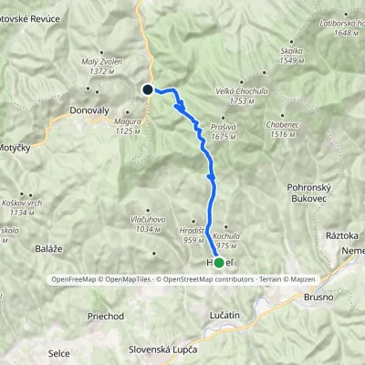 ModerateOne-dayMarkedTurnoff to Korytnica HiadeľElevation profile493–1 125 m13.2 kmascent 633 m≈ 4.5 h walkingunder 1 km from the centre
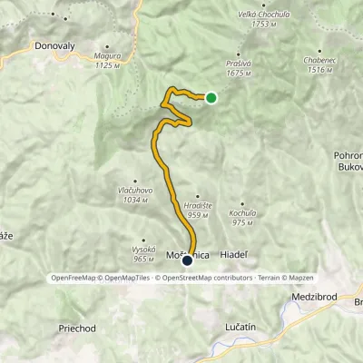 EasyOne-dayMarkedMoštenica Hiadeľské SaddleElevation profile457–1 155 m10.7 kmascent 52 m≈ 3 h walking1.6 km from the centre
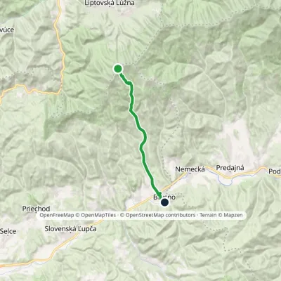 ModerateOne-dayMarkedVeľká Chochuľa BrusnoElevation profile405–1 753 m14.4 kmascent 5 m≈ 3.5 h walking3.7 km from the centre
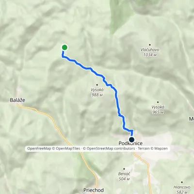 EasyOne-dayMarkedPodkonice KališteElevation profile524–928 m5.5 kmascent 130 m≈ 1.5 h walking4.4 km from the centre
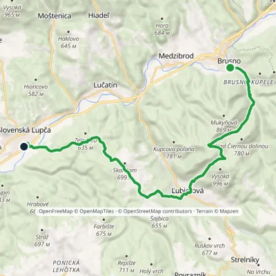 ModerateOne-dayMarkedSlovenská Ľupča Brusno, stationElevation profile370–880 m16.7 kmascent 655 m≈ 5.5 h walking4.6 km from the centre
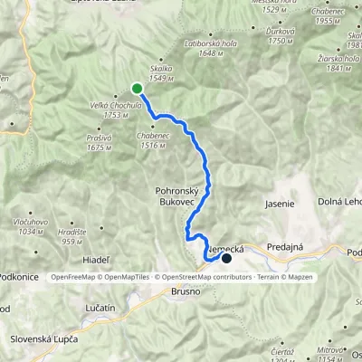 ModerateOne-dayMarkedKošarisko NemeckáElevation profile418–1 693 m15.8 kmascent 44 m≈ 4 h walking5.4 km from the centre
Peaks nearby
All peaks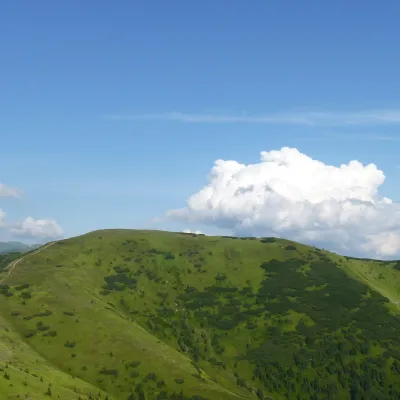 PeakLatiborská hoľaLiptovská Lúžnaaltitude 1 648 m15 km from the centreLatiborská hoľa is a broad, treeless summit 1648 m high on the main ridge of the Low Tatras, in the western part of the Ďumbier Tatras, Slovakia.
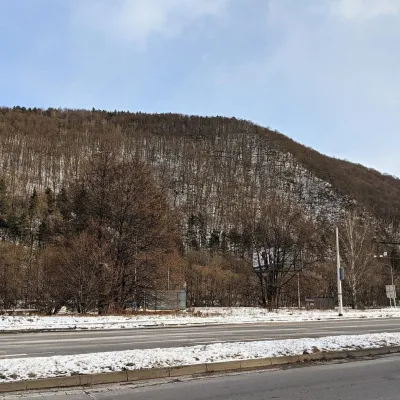 PeakUrpínBanská Bystricaaltitude 510 m16 km from the centreUrpín is a low but very prominent 510 m hill in central Slovakia, rising directly above the historic centre of Banská Bystrica on the left bank of the Hron river.
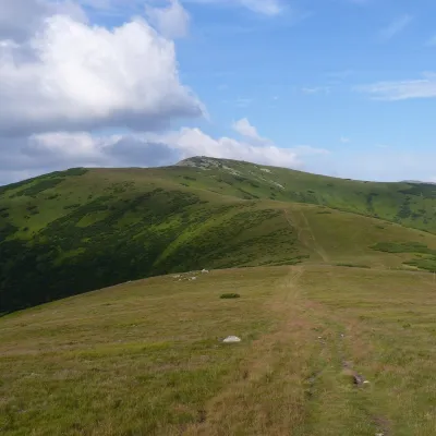 PeakĎurkováaltitude 1 750 m17 km from the centreĎurková is a broad, treeless summit 1750 m high on the main ridge of the Low Tatras, in the western part of the Ďumbier Tatras, Slovakia.
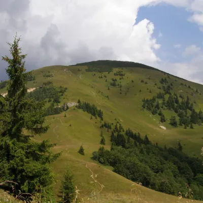 PeakRakytovLiptovské Revúcealtitude 1 567 m20 km from the centreRakytov is a 1,567 m mountain in the Greater Fatra (Veľká Fatra) in Slovakia and the highest summit of the so-called Liptov branch of the main ridge, part of the Hôľna...
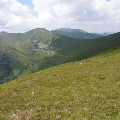 PeakChabenecDemänovská Dolinaaltitude 1 955 m20 km from the centreChabenec (Polish Chabeniec) is a 1,955 m summit on the main ridge of the Low Tatras, in their western part, the Ďumbier Tatras.
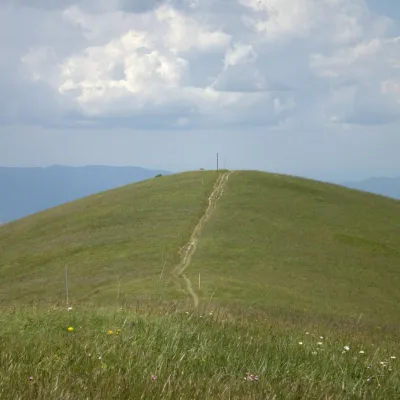 PeakOstredokTureckáaltitude 1 596 m20 km from the centreOstredok is the highest peak of the Greater Fatra (Veľká Fatra) at 1,596 m. It lies in the central part of the range, in the Hôľna Fatra, above the village of...
What to visit
All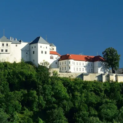 CastleĽupča CastleSlovenská Ľupča4.7 km from the centreĽupča Castle (Ľupčiansky hrad, Hrad Ľupča) rises above the village of Slovenská Ľupča in the Hron valley, about 10 km east of Banská Bystrica.
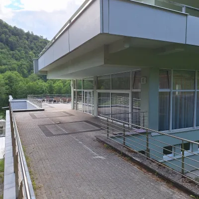 Water parks & thermal poolsBrusno Spa: mineral springs, treatments and Caracalla SpaBrusno6.6 km from the centreBrusno Spa (Kúpele Brusno) lies in the Hron valley (Horehronie), about 20 km north-east of Banská Bystrica, on the northern slopes of the Vepor massif in the Slovak...
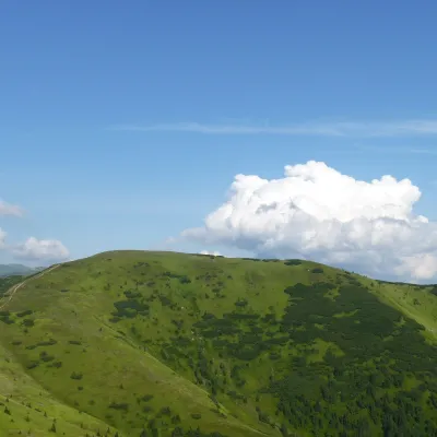 Mountain meadowHole of the western Low Tatras: from Prašivá to ĎurkováLiptovská Lúžnaaltitude 1 648 m15 km from the centreThe western part of the main ridge of the Low Tatras (Nízke Tatry) is almost 20 kilometres of continuous hole – grassy mountain pastures above the tree line.
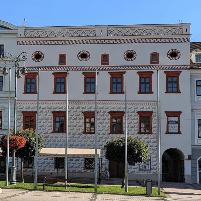 MuseumThurzo House — Central Slovak Museum, Banská BystricaBanská Bystrica15 km from the centreThe Thurzo House (Thurzov dom) is one of the finest buildings on the main SNP Square in Banská Bystrica, with Renaissance sgraffito on its façade and an ornate attic...
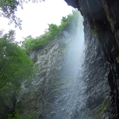 WaterfallBrankovský waterfall — the highest in the Low TatrasLiptovská Osada20 km from the centreThe Brankovský waterfall (Brankovský vodopád) is the highest waterfall in the Low Tatras: the water drops 55 m.
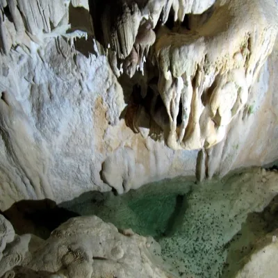 NatureHarmanecká CaveDolný Harmanec20 km from the centreThe “White Cave” above the Harmanec valley Harmanecká Cave (Harmanecká jaskyňa) lies in the valley of the Harmanec stream north-west of Banská Bystrica, in the...
Craft nearby
All craft places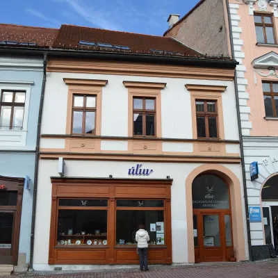 Craft shopsÚĽUV Banská Bystrica: folk-craft shop and craft schoolBanská Bystrica15 km from the centreÚĽUV (Ústredie ľudovej umeleckej výroby, the Centre for Folk Art Production) is a state institution that has looked after Slovak folk crafts since 1945: it keeps a...
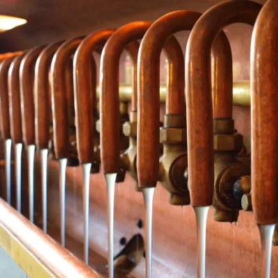 Craft beer & breweriesUrpiner brewery in Banská Bystrica: tour and beer from the tankBanská Bystrica18 km from the centreBanská Bystrica is the centre of Central Slovakia and grew rich on copper mining in the 14th–16th centuries.
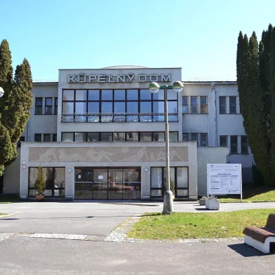 Water parks & thermal poolsSliač spa: warm carbonated water and a thermal swimming areaSliač25 km from the centreSliač is a spa in the Zvolen Basin above the Hron valley, between Zvolen and Banská Bystrica. The spa quarter with its 46-hectare park lies on a slope above the former...
Spas and thermal pools nearby
Water parks & thermal poolsBrusno Spa: mineral springs, treatments and Caracalla SpaBrusno6.6 km from the centreBrusno Spa (Kúpele Brusno) lies in the Hron valley (Horehronie), about 20 km north-east of Banská Bystrica, on the northern slopes of the Vepor massif in the Slovak...Water parks & thermal poolsSliač spa: warm carbonated water and a thermal swimming areaSliač25 km from the centreSliač is a spa in the Zvolen Basin above the Hron valley, between Zvolen and Banská Bystrica. The spa quarter with its 46-hectare park lies on a slope above the former...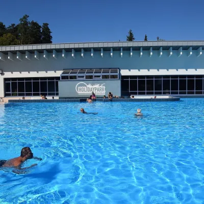 Water parks & thermal poolsKováčová: thermal spa and Holidaypark aquapark near ZvolenKováčová27 km from the centreKováčová is a spa village on the south-western edge of the Zvolen Basin, 4 km west of Zvolen at the foot of the Kremnica Mountains; the village centre lies at 303 m.
Huts, shelters and springs nearby
Getting there from Ukraine
Border crossings
- Uzhhorod – Vyšné Nemecké — road, 24/7
- Malyi Bereznyi – Ubľa — road, 24/7 For cars and buses; pedestrians not confirmed by the Ukrainian border service, lorries up to 3.5 t.
- Mali Selmentsi – Veľké Slemence (pedestrian) — pedestrian, 09:00–21:00 Kyiv time Pedestrians and cyclists only; inconvenient for the Tatras without onward transport.
- Chop – Čierna nad Tisou (rail) — rail, 24/7
By car
From Uzhhorod to Brezno ≈274 km, ≈3 h 50 min without queues: Uzhhorod – Vyšné Nemecké → I/19 to Košice → D1 via Prešov and Poprad to the exit near Liptovský Hrádok → I/18 and I/72 over the Čertovica Pass to Brezno. To Banská Bystrica ≈322 km, ≈4 h 30 min: D1 to Ružomberok, then I/59 via Donovaly. From Lviv: to Brezno via Uzhok and Ubľa ≈498 km (≈7 h 45 min) or through Poland ≈554 km (≈7 h 05 min); to Banská Bystrica through Poland (Kraków – Chyżne – Trstená – Dolný Kubín – Ružomberok) ≈535 km, ≈7 h 15 min. The D1 requires an e-vignette (eznamka.sk).
Checked 23.10.2026; border crossing hours and timetables change — check before you travel.
