Chabenec
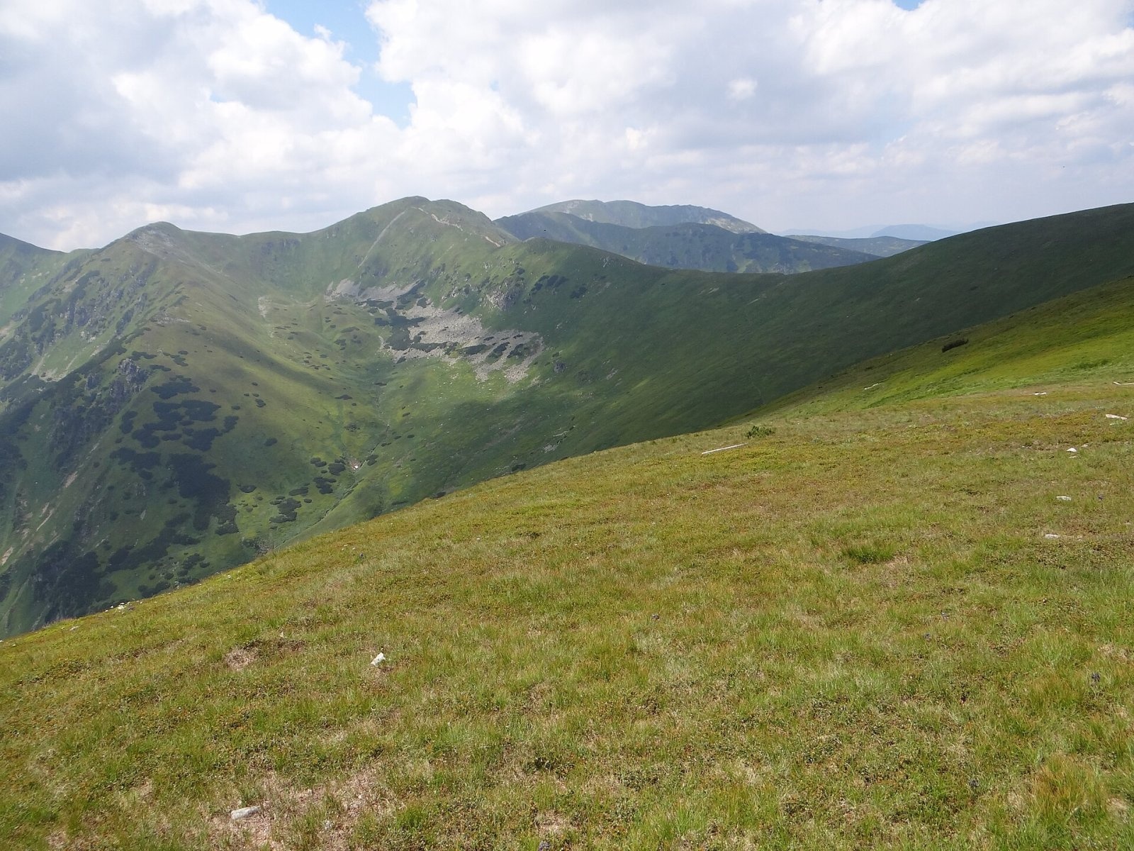
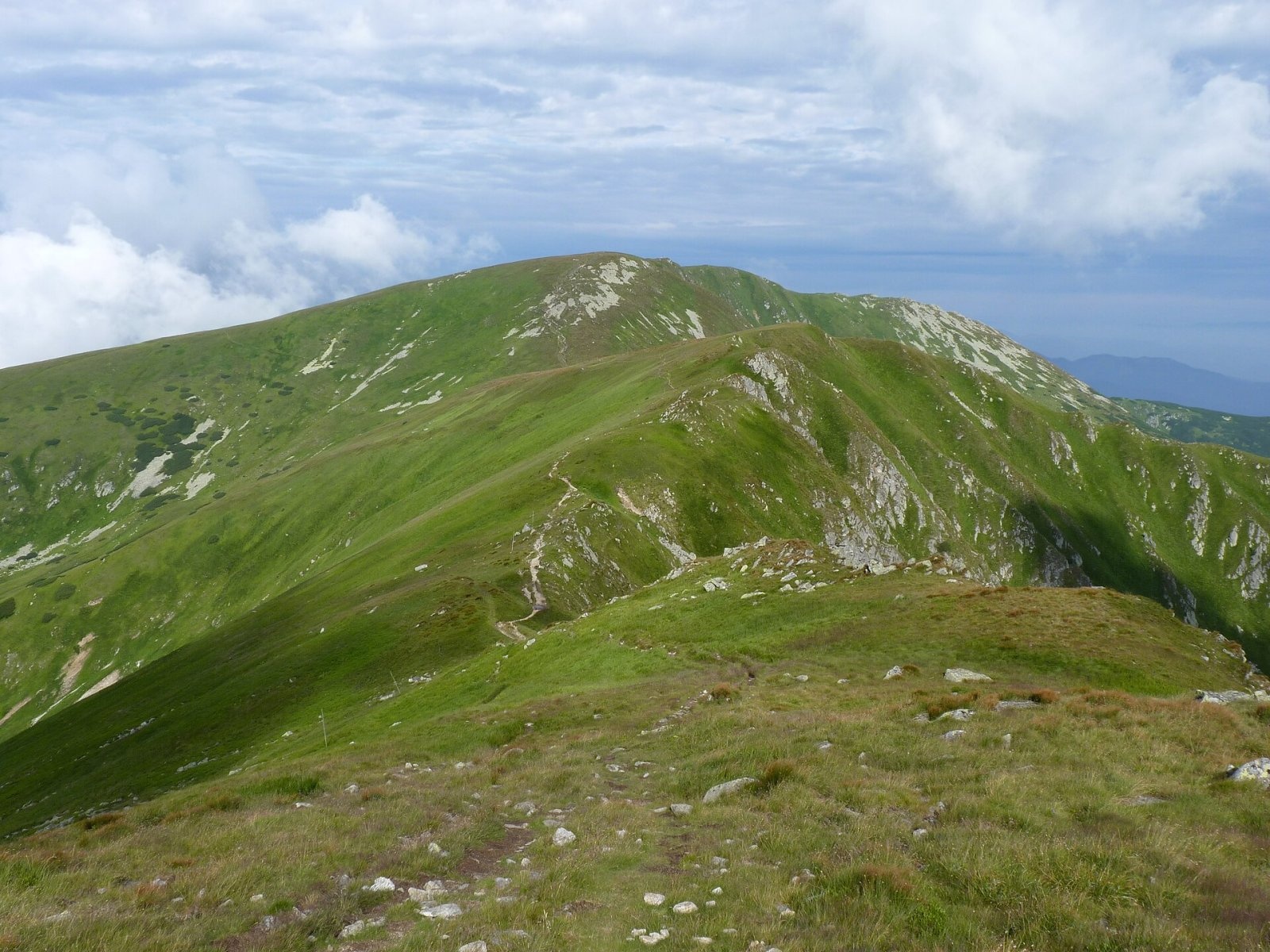
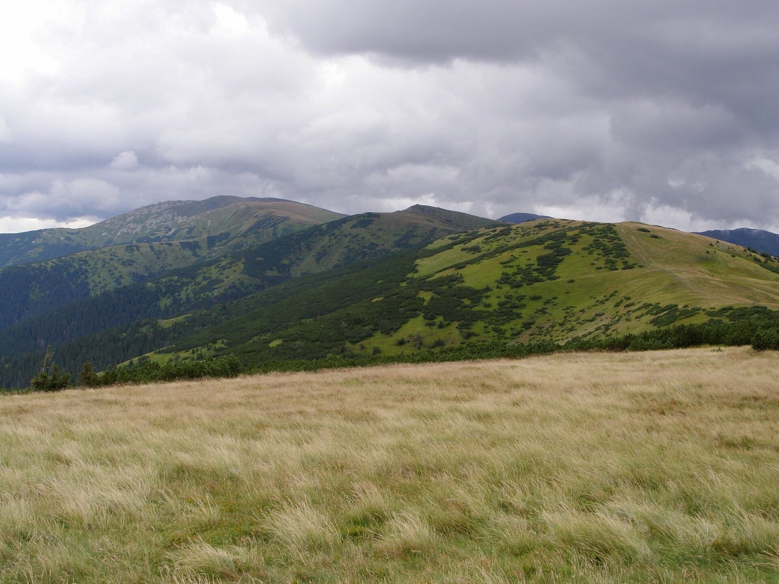
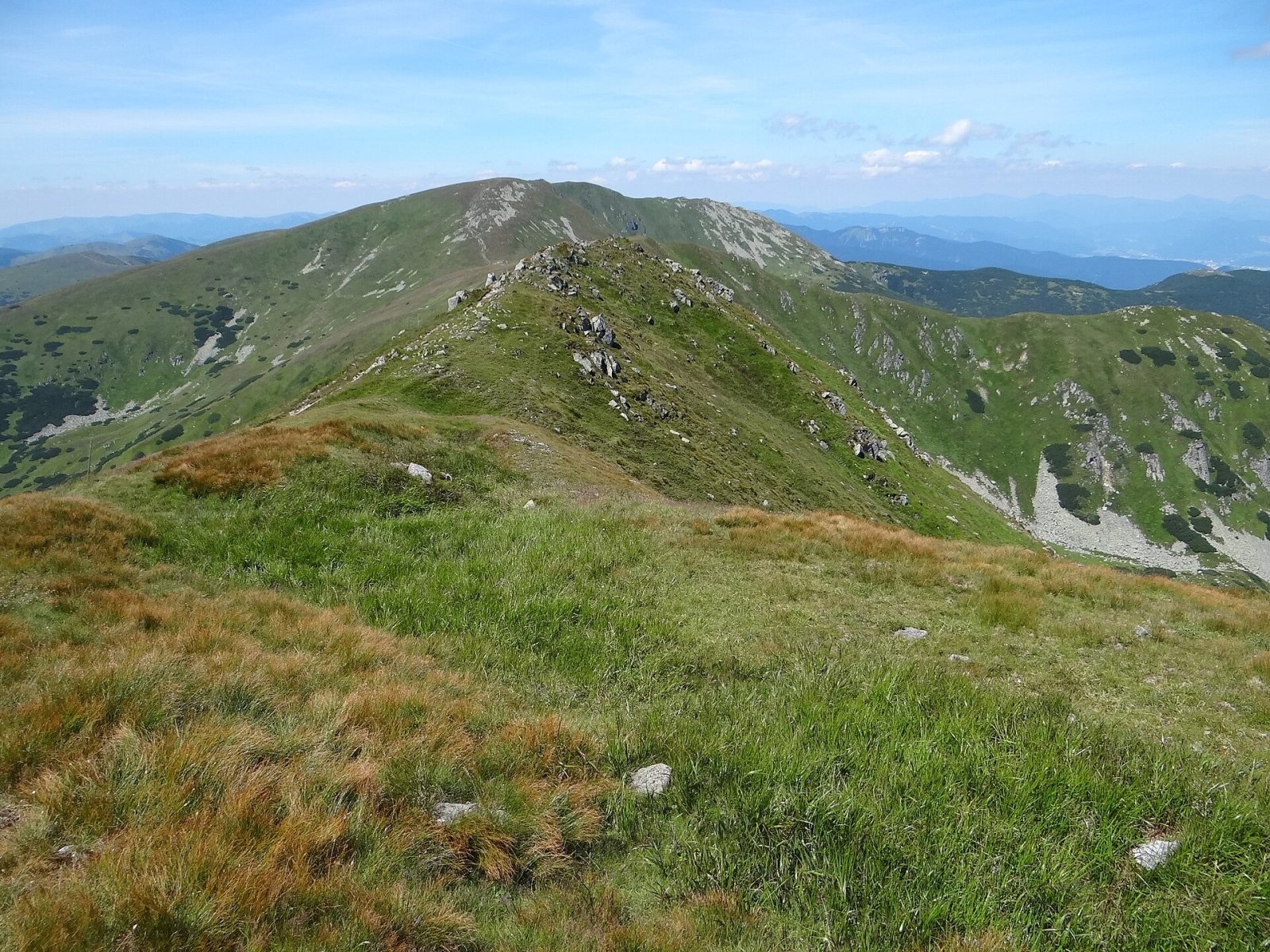
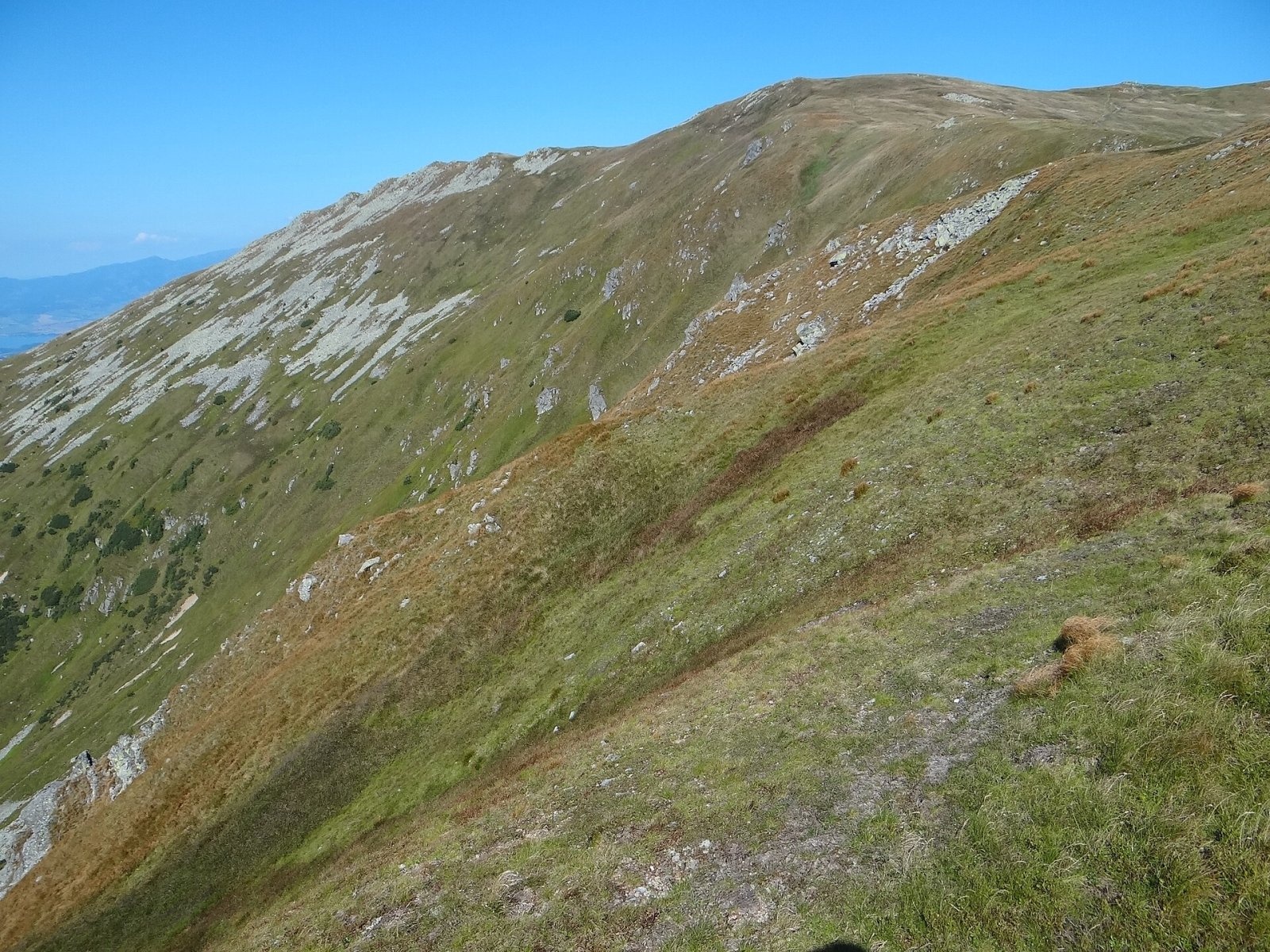
Chabenec (Polish Chabeniec) is a 1,955 m summit on the main ridge of the Low Tatras, in their western part, the Ďumbier Tatras. According to Polish sources it is the sixth highest mountain of the whole range. It stands about 7 km west of Chopok, above the village of Jasenie and some 18 km north-west of the town of Brezno; the nearest settlements are the hamlets of Magurka and Železnô to the west. The boundary between the Žilina and Banská Bystrica regions runs over the summit. Chabenec lies between Ďurková (1,750 m) to the west and Kotliská (1,937 m) to the east, and the whole massif belongs to the Low Tatras National Park (NAPANT).
How to get there / routes
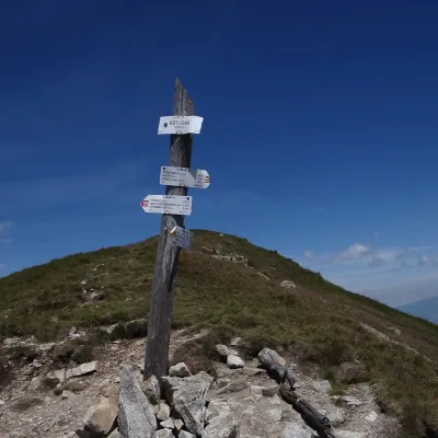
The summit is an important junction of hiking trails. The main red ridge trail of the Low Tatras — the SNP Heroes’ Trail (Cesta hrdinov SNP), here part of the European long-distance path E8 — crosses it.
- Red from the east: Chopok – Derešé – Sedlo Poľany – Poľana – Krížske sedlo – Kotliská – Chabenec, about 2 h 25 min (about 2 h 55 min back).
- Red from the west: from Sedlo pod Skalkou via Veľká hoľa, Latiborská hoľa, Ďurková and Sedlo Ďurkovej, about 4 h 30 min.
- Blue: from Jasenie up the Jasenská valley past the Ďurková shelter and Malý Chabenec; the full climb from the village takes about 6.5 hours.
- Green: from Magurka via the junction above Sedlo Ďurkovej and Malý Chabenec.
Below Sedlo Ďurkovej stands the simple Ďurková mountain shelter, a handy resting point on a long ridge traverse.
What you can see from the summit
The bare ridge and summit give an unobstructed 360° panorama. In good conditions you can see many Low Tatra peaks as well as the Tatras, the Choč Mountains, the Orava Magura and the Beskids, the Lesser and Greater Fatra, the Štiavnica Mountains, Javorie, Poľana and the Vepor Mountains.
Nature and history
The massif is built of granite, which forms the core of the Low Tatras main ridge. Three major valleys end in glacial cirques on the steep, rocky slopes of Chabenec: Lomnistá to the south, Ľupčianska to the north-west and Krížska to the north-east. During the last glaciation the Lomnistá cirque held a small firn glacier, and the Krížska cirque contains a tiny lake. A long side ridge runs north from the summit and ends with Ľupčianska Magura (1,315 m) above the village of Partizánska Ľupča.
The summit and the southern, eastern and western slopes are covered by natural alpine grassland, while the steep northern crags host the chamois population acclimatised in the Low Tatras. The southern slopes belong to the Skalka national nature reserve.
In November 1944, after the Slovak National Uprising was crushed, insurgent units and hundreds of civilians retreated eastwards across the Chabenec massif. Many died in deep snow and blizzards, among them the Czechoslovak politician and journalist Jan Šverma. A memorial to him stands at the foot of the mountain, at the head of the Lomnistá valley.
Safety, season and rules
The ridge above the tree line is fully exposed: strong wind, summer lightning and sudden fog, and in winter deep snow, blizzards and avalanche danger on the cirque slopes. Stay on the marked trails of the national park and check current NAPANT notices and the avalanche bulletin before you set off. Slovak Mountain Rescue (HZS): 18 300 (+421 18 300); emergency number 112.
Interesting facts
- Chabenec is one of the highest Low Tatra summits and a superb viewpoint on the SNP Heroes’ Trail.
- The firn glacier in the Lomnistá valley was one of very few with such an exposure in the whole Low Tatras.
Photos: Jerzy Opioła, CC BY-SA 4.0; Michal Klajban, CC BY-SA 3.0; Daniel Baránek, CC BY-SA 3.0; Jerzy Opioła, CC BY-SA 4.0; Jerzy Opioła, CC BY-SA 4.0; Daniel Baránek, CC BY-SA 3.0; Mineralysk, CC0 — Wikimedia Commons.
Getting there from Ukraine
Border crossings
- Uzhhorod – Vyšné Nemecké — road, 24/7
- Malyi Bereznyi – Ubľa — road, 24/7 For cars and buses; pedestrians not confirmed by the Ukrainian border service, lorries up to 3.5 t.
- Mali Selmentsi – Veľké Slemence (pedestrian) — pedestrian, 09:00–21:00 Kyiv time Pedestrians and cyclists only; inconvenient for the Tatras without onward transport.
- Chop – Čierna nad Tisou (rail) — rail, 24/7
By car
From Uzhhorod to Brezno ≈274 km, ≈3 h 50 min without queues: Uzhhorod – Vyšné Nemecké → I/19 to Košice → D1 via Prešov and Poprad to the exit near Liptovský Hrádok → I/18 and I/72 over the Čertovica Pass to Brezno. To Banská Bystrica ≈322 km, ≈4 h 30 min: D1 to Ružomberok, then I/59 via Donovaly. From Lviv: to Brezno via Uzhok and Ubľa ≈498 km (≈7 h 45 min) or through Poland ≈554 km (≈7 h 05 min); to Banská Bystrica through Poland (Kraków – Chyżne – Trstená – Dolný Kubín – Ružomberok) ≈535 km, ≈7 h 15 min. The D1 requires an e-vignette (eznamka.sk).
Checked 23.10.2026; border crossing hours and timetables change — check before you travel.
Location on the map
Water and shelter nearby
- Spring below Chabenec660 m · Not verified · 1 695 m
- Tanečnica, 1 504 m1.1 km · Not verified · 1 504 m
- Spring below Ostredok (south-west slope)1.1 km · Not verified · 1 503 m
- Chabenec1.4 km · Not verified · 1 531 m
- Spring below Spálená (south-east slope), 1 485 m1.5 km · Not verified · 1 485 m
- Spring below Žiarska hoľa1.6 km · Not verified · 1 321 m
- Spring below Kotliská1.7 km · Not verified · 1 722 m
- Košariská, 1 387 m1.7 km · Not verified · 1 387 m
- Spring below Spálená (south-east slope), 1 432 m1.7 km · Not verified · 1 432 m
- Oružný Potok Spring1.8 km · Not verified · 1 384 m
- Spring below Kopa (west slope), 1 533 m1.8 km · Not verified · 1 533 m
- Spring below Kopa (west slope), 1 538 m1.8 km · Not verified · 1 538 m
- Spring below Kopa (west slope), 1 493 m1.8 km · Not verified · 1 493 m
- Paludžanka Spring1.8 km · Not verified · 1 542 m
- Spring below Kopa (west slope), 1 507 m1.8 km · Not verified · 1 507 m
- Čičkov žliebok Spring1.8 km · Not verified · 1 354 m
Comments
Trails nearby
All trails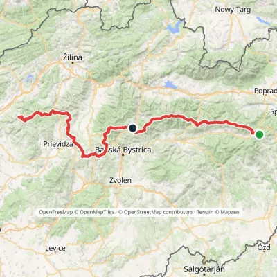 HardMulti-dayMarkedHorná Poruba, U Brdárov Pred ČuntavouElevation profile309–2 004 m241.6 kmascent 15 694 munder 1 km from Chabenec
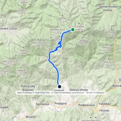 ModerateOne-dayMarkedJasenie, PD ChabenecElevation profile519–1 947 m17.8 kmascent 14 m≈ 4.5 h walkingunder 1 km from Chabenec
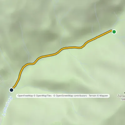 EasyOne-dayMarkedAsmolova Hut J. Šverma MemorialElevation profile1 080–1 323 m2.3 km≈ 30 min walking1.6 km from Chabenec
Nearby attractions
 PeakKotliskáDemänovská Dolinaaltitude 1 937 m1.7 km from ChabenecKotliská is a 1937 m peak on the main ridge of the Low Tatras (Nízke Tatry) in Slovakia. It lies in the western part of the Ďumbier Tatras, about 9 km west of Ďumbier,...
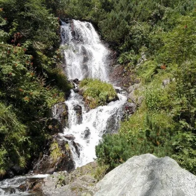 WaterfallVajskovský vodopád (Vajskovský Waterfall)Demänovská Dolina3.2 km from ChabenecVajskovský vodopád is a cascading waterfall in the upper part of the Vajskovská dolina on the southern side of the Low Tatras, within the Low Tatras National Park ...
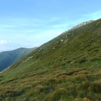 Mountain meadowHole of the Low Tatras between Chopok and ChabenecLaziskoaltitude 1 890 m3.4 km from ChabenecThe highest section of the grassy main ridge of the Low Tatras (Nízke Tatry) runs west from Chopok (2,024 m), reached by cable cars from the Jasná resort, over Dereše ...
Craft nearby
All craft places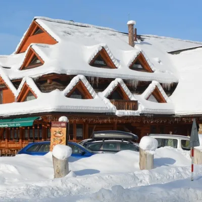 Koliby & Hutsul cuisineKoliba Strachanovka, Jánska valleyLiptovský Ján17 km from ChabenecKoliba Strachanovka (Jánska koliba) is a large wooden koliba at the entrance to the Jánska valley in the village of Liptovský Ján, which locals consider one of the...
 Koliby & Hutsul cuisineSalaš Dechtáre above Liptovská MaraGalovany17 km from ChabenecSalaš Dechtáre is a wooden koliba above the Liptovská Mara reservoir that is described as one of Slovakia’s first commercial salaš restaurants.
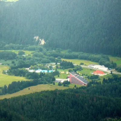 Water parks & thermal poolsTERMAL raj thermal bath, Liptovský JánLiptovský Ján17 km from ChabenecLiptovský Ján: thermal water at the entrance to Jánska dolina Liptovský Ján is an old village in southern Liptov, about 10 km from Liptovský Mikuláš, at the entrance...
 Craft beer & breweriesLiptovar brewery, Liptovský Mikuláš: craft beer and brewpubLiptovský Mikuláš18 km from ChabenecLiptovský Mikuláš is the main town of the Liptov region, a short drive from the Low and Western Tatras, the Demänovská Valley and the Liptovská Mara reservoir.
 Water parks & thermal poolsBešeňová Water ParkBešeňová18 km from ChabenecBešeňová — the "thermal heart of Liptov" Bešeňová Water Park (Vodný park Bešeňová) lies on the edge of the village of the same name in the western part of the Liptov...
 Water parks & thermal poolsBrusno Spa: mineral springs, treatments and Caracalla SpaBrusno19 km from ChabenecBrusno Spa (Kúpele Brusno) lies in the Hron valley (Horehronie), about 20 km north-east of Banská Bystrica, on the northern slopes of the Vepor massif in the Slovak...
