Urpín
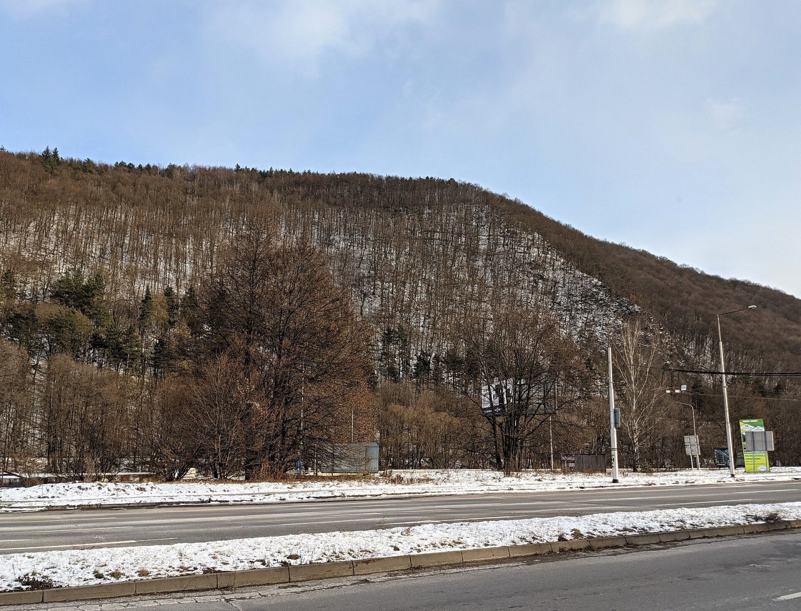
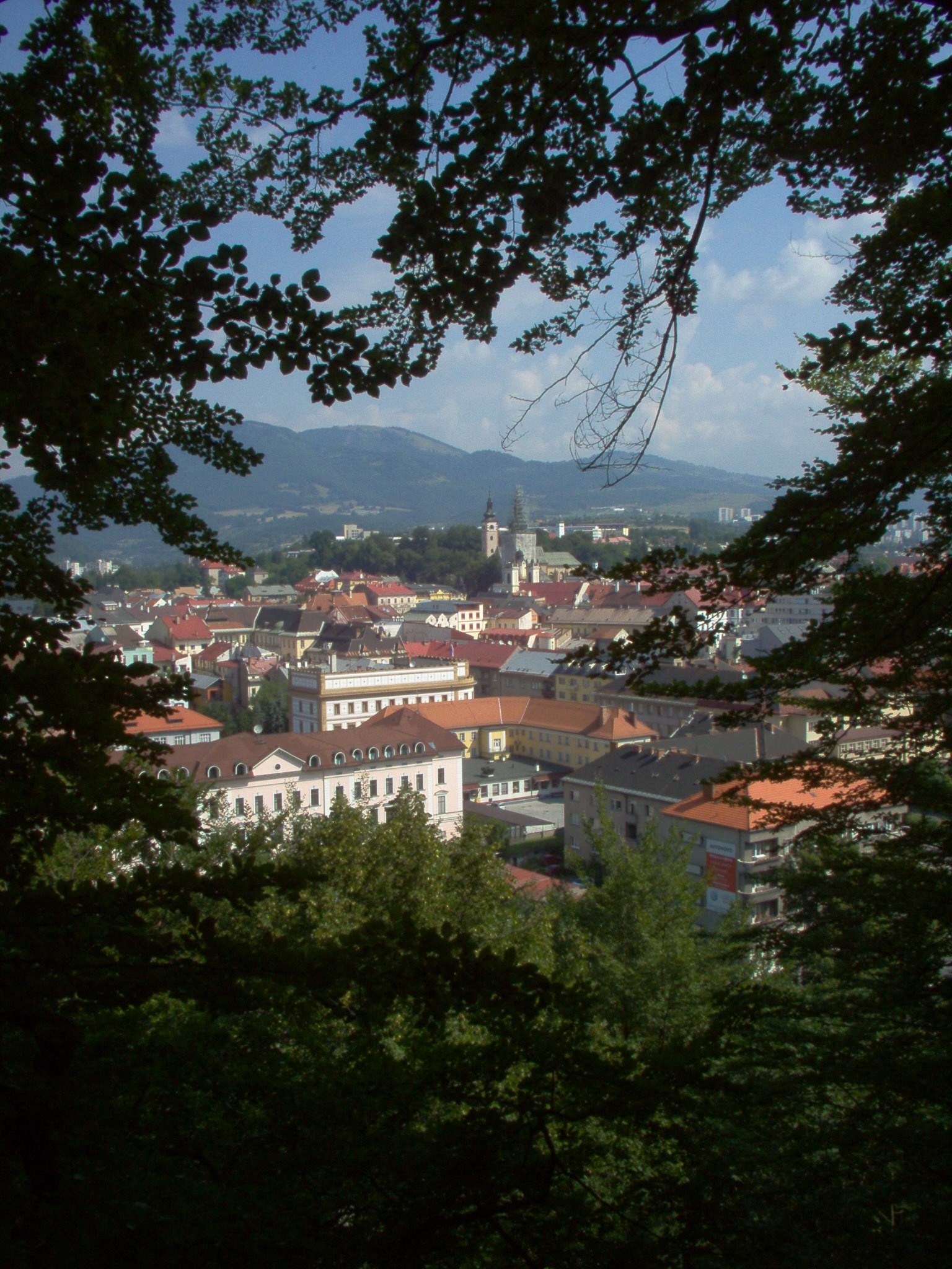
Urpín is a low but very prominent 510 m hill in central Slovakia, rising directly above the historic centre of Banská Bystrica on the left bank of the Hron river. Geomorphologically it belongs to the Slovak Central Mountains — to the Zvolen Basin and its Bystrica Highlands subunit. The whole hill lies within the city: the Uhlisko district borders it on the east, the centre on the north and Radvaň on the west. At its foot run the Hron and the Zvolen–Vrútky railway with the Banská Bystrica-mesto stop, known locally as the "Little Station".
Despite its modest height, Urpín dominates the cityscape because it stands right next to the centre and is visible from many streets. Banská Bystrica is even called "the town under Urpín", and the hill has given its name to a local folk ensemble and to Urpiner beer.
How to get there / routes
Urpín is a walk straight from town. The most popular route is the "Urpín Serpentines" nature trail, opened in autumn 2014: about 3.6 km with fourteen information boards. It starts at the Little Station, climbs the old serpentines, skirts the summit and the forest-steppe reserve and ends in Uhlisko. Near the summit there are also regional KST marked trails (blue and yellow), local viewpoint loops, the mining-heritage "Barbara Route" and a stage of the Way of St James from Banská Bystrica to Zvolen. A separate path leads up the eastern slope to the Calvary.
What you can see from the top
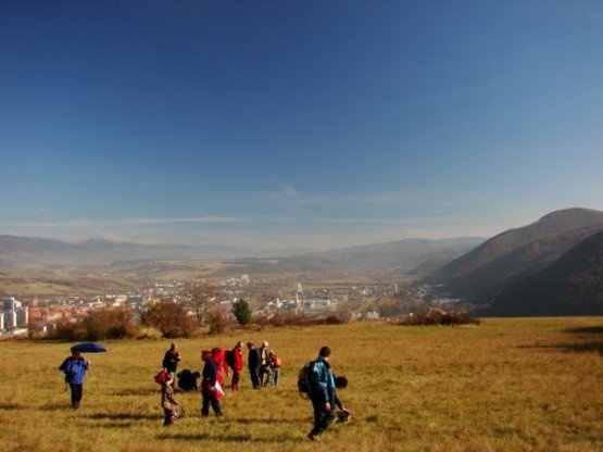
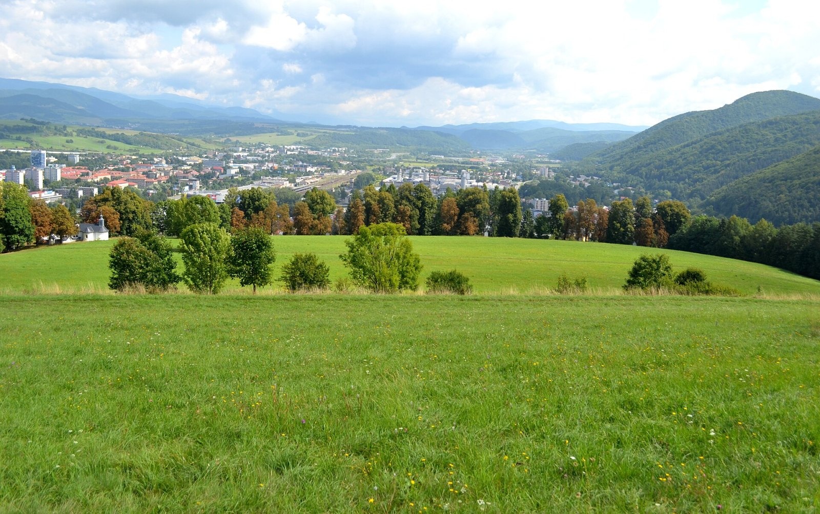
Open spots on Urpín give a panorama of the Hron valley from the eastern outskirts of Banská Bystrica as far as Zvolen, as well as the surrounding ranges of the Low Tatras and the Greater Fatra. Right below lie the roofs of the old town and the course of the Hron.
Nature and history
Most of the hill is covered with beech forest mixed with pine, maple and lime, while the top has typical forest-steppe vegetation. Despite the city next door, it is home to 35 endangered animal species, about 280 recorded spider species and many rare plants. An old alley of 64 large-leaved limes has become an important part of the local ecosystem. Since 1997 an area of 5.02 ha has been protected as the Urpín Forest-Steppe nature reserve.
In the 16th century the Ottoman advance threatened the rich mining towns of central Slovakia, and Banská Bystrica, one of Europe's leading copper producers, modernised its fortifications. In 1587 a watchtower was built on one of Urpín's summits, which took its name — Vartovka — from the old Slovak word for a watchtower. Legend says a secret passage under the Hron linked the tower with the town. After damage in the Second World War the tower was converted into an astronomical observatory.
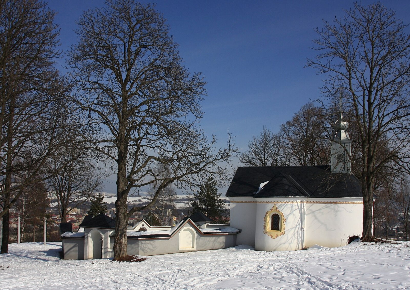
The second landmark is the Calvary. In the 17th century the town was almost entirely Protestant; the Jesuits arrived in 1648 and in 1689 founded a pilgrimage site on Urpín. In 1713 the Church of the Holy Cross was built on top of the Calvary hill, and the following year chapels of the Stations of the Cross were raised along the path. Church and chapels were restored in 2007 and received a new 80 kg bell, and a small monastery next to them was consecrated in 2008. During Lent the Way of the Cross is walked here every week.
Urpín has long been a place for townspeople to relax: the paths to the top used to be lit at night, and until the 1960s dixieland bands played here every Sunday afternoon.
Safety, season and rules
The walk up Urpín is easy and possible all year; in winter the serpentines can be slippery. In the Urpín Forest-Steppe reserve stay on the paths and do not pick plants. The Calvary is an active place of prayer, so keep quiet, especially during services. In an emergency call 112; the Slovak Mountain Rescue Service (HZS) is on 18 300 (+421 18 300).
Interesting facts
- In Slovak media, "the town under Urpín" simply means Banská Bystrica.
- The tower on the Vartovka summit, built in 1587 as a lookout, now serves as an observatory.
- About 280 spider species have been recorded on this town hill alone.
Photos: Patrik Kunec, CC BY-SA 4.0; Juraj Tatár, CC BY-SA 3.0; Lad.Szeghö, CC BY-SA 3.0; Ladislav Luppa, CC BY-SA 4.0; Twisp, Public domain — Wikimedia Commons.
Getting there from Ukraine
Border crossings
- Uzhhorod – Vyšné Nemecké — road, 24/7
- Malyi Bereznyi – Ubľa — road, 24/7 For cars and buses; pedestrians not confirmed by the Ukrainian border service, lorries up to 3.5 t.
- Mali Selmentsi – Veľké Slemence (pedestrian) — pedestrian, 09:00–21:00 Kyiv time Pedestrians and cyclists only; inconvenient for the Tatras without onward transport.
- Chop – Čierna nad Tisou (rail) — rail, 24/7
By car
From Uzhhorod to Brezno ≈274 km, ≈3 h 50 min without queues: Uzhhorod – Vyšné Nemecké → I/19 to Košice → D1 via Prešov and Poprad to the exit near Liptovský Hrádok → I/18 and I/72 over the Čertovica Pass to Brezno. To Banská Bystrica ≈322 km, ≈4 h 30 min: D1 to Ružomberok, then I/59 via Donovaly. From Lviv: to Brezno via Uzhok and Ubľa ≈498 km (≈7 h 45 min) or through Poland ≈554 km (≈7 h 05 min); to Banská Bystrica through Poland (Kraków – Chyżne – Trstená – Dolný Kubín – Ružomberok) ≈535 km, ≈7 h 15 min. The D1 requires an e-vignette (eznamka.sk).
Checked 23.10.2026; border crossing hours and timetables change — check before you travel.
Location on the map
Comments
Trails nearby
All trails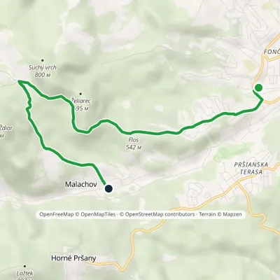 EasyOne-dayMarkedBanská Bystrica, Mládežnícka MalachovElevation profile383–689 m7 kmascent 306 m≈ 2.5 h walking1.5 km from Urpín
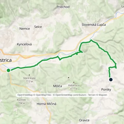 ModerateOne-dayMarkedBanská Bystrica, Podryba Ponická LehôtkaElevation profile350–663 m16.4 kmascent 428 m≈ 5 h walking1.8 km from Urpín
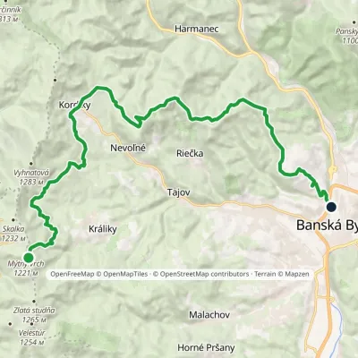 ModerateTwo-dayMarkedKrálické Saddle Banská Bystrica, HámorElevation profile350–1 193 m22.8 kmascent 396 m≈ 6.5 h walking2.1 km from Urpín
Nearby attractions
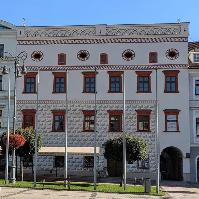 MuseumThurzo House — Central Slovak Museum, Banská BystricaBanská Bystrica1.2 km from UrpínThe Thurzo House (Thurzov dom) is one of the finest buildings on the main SNP Square in Banská Bystrica, with Renaissance sgraffito on its façade and an ornate attic...
 Craft beer & breweriesUrpiner brewery in Banská Bystrica: tour and beer from the tankBanská Bystrica2.4 km from UrpínBanská Bystrica is the centre of Central Slovakia and grew rich on copper mining in the 14th–16th centuries.
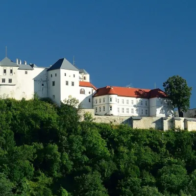 CastleĽupča CastleSlovenská Ľupča12 km from UrpínĽupča Castle (Ľupčiansky hrad, Hrad Ľupča) rises above the village of Slovenská Ľupča in the Hron valley, about 10 km east of Banská Bystrica.
Craft nearby
All craft places Craft shopsÚĽUV Banská Bystrica: folk-craft shop and craft schoolBanská Bystrica1 km from UrpínÚĽUV (Ústredie ľudovej umeleckej výroby, the Centre for Folk Art Production) is a state institution that has looked after Slovak folk crafts since 1945: it keeps a...
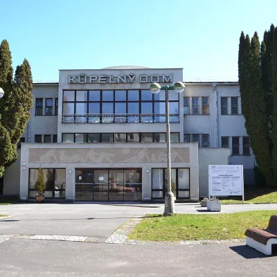 Water parks & thermal poolsSliač spa: warm carbonated water and a thermal swimming areaSliač13 km from UrpínSliač is a spa in the Zvolen Basin above the Hron valley, between Zvolen and Banská Bystrica. The spa quarter with its 46-hectare park lies on a slope above the former...
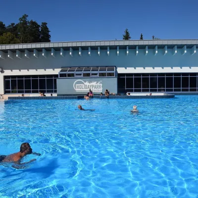 Water parks & thermal poolsKováčová: thermal spa and Holidaypark aquapark near ZvolenKováčová13 km from UrpínKováčová is a spa village on the south-western edge of the Zvolen Basin, 4 km west of Zvolen at the foot of the Kremnica Mountains; the village centre lies at 303 m.
 Craft producersKremnica gingerbread: the Haurík family bakery since 1922Kremnica17 km from UrpínKremnica is an old mining town in the Kremnica Mountains where coins have been struck for more than six centuries.
 Water parks & thermal poolsBrusno Spa: mineral springs, treatments and Caracalla SpaBrusno20 km from UrpínBrusno Spa (Kúpele Brusno) lies in the Hron valley (Horehronie), about 20 km north-east of Banská Bystrica, on the northern slopes of the Vepor massif in the Slovak...
 Cheese dairies & pasturesZvolenská Slatina bryndza dairy: the oldest, since 1797Zvolenská Slatina20 km from UrpínBryndza with more than 220 years behind it Zvolenská Slatina is a large village in the Podpoľanie region, a few kilometres from Zvolen, at the foot of the volcanic...
