Hole of the western Low Tatras: from Prašivá to Ďurková
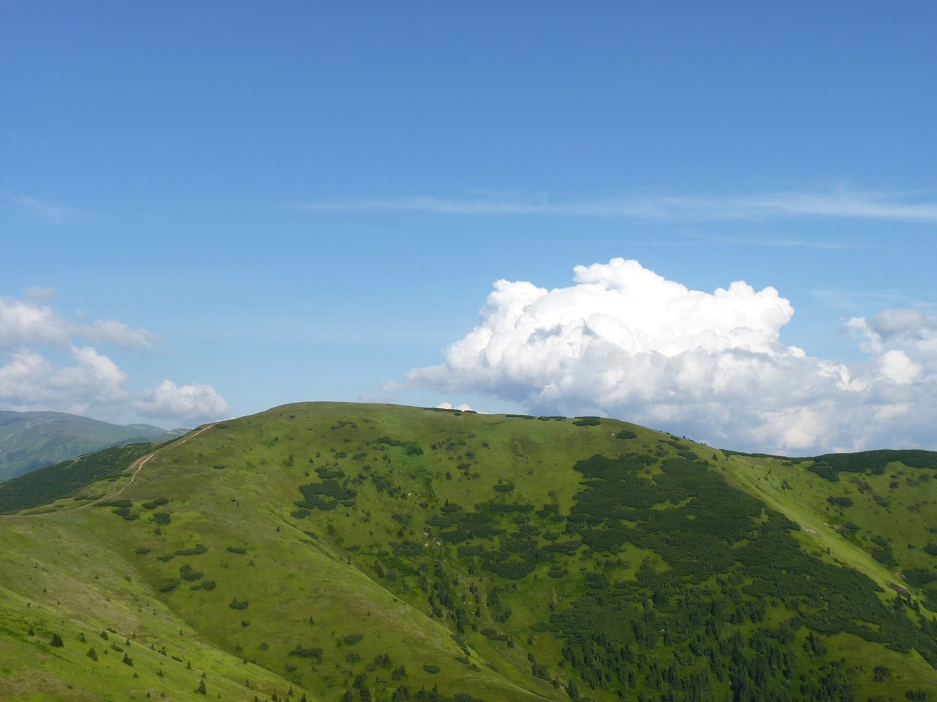
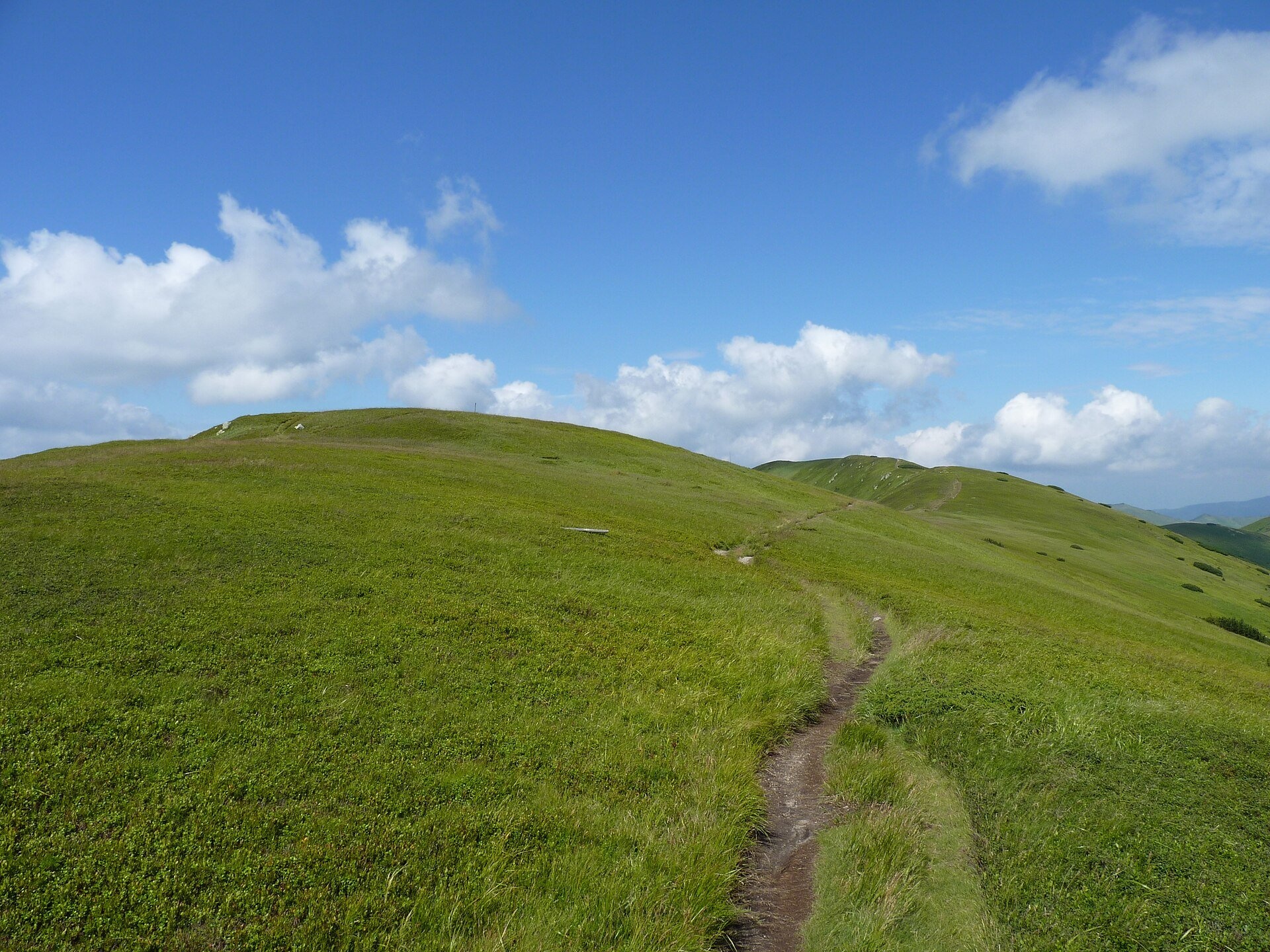
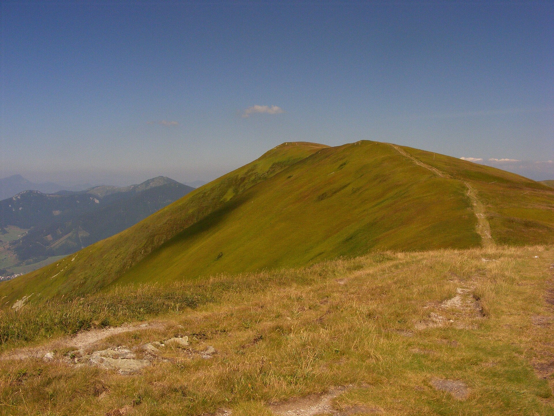
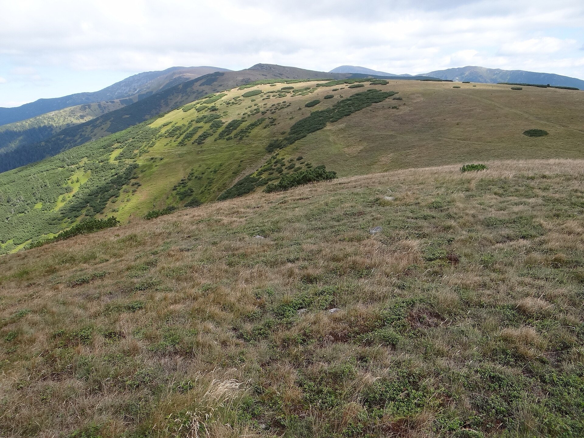
The western part of the main ridge of the Low Tatras (Nízke Tatry) is almost 20 kilometres of continuous hole – grassy mountain pastures above the tree line. From Hiadeľské sedlo (1,099 m) above Donovaly the crest rises to Prašivá (1,652 m), Malá and Veľká Chochuľa (1,753 m) and Košarisko, then continues over Veľká hoľa (1,640 m), Latiborská hoľa (1,648 m) and Zámostská hoľa (1,612 m) to Ďurková (1,750 m) below Chabenec. The names of the summits tell you what kind of country this is: the Slovak word "hoľa" means a high mountain pasture. The whole area belongs to the Low Tatras National Park, and the red Cesta hrdinov SNP (Trail of the Heroes of the Slovak National Uprising) runs along the crest.
The mountains here are built of crystalline rocks – mostly granites of the so-called Prašivá type – so the ridge is soft and rounded. The meadows reach down the slopes to 1,500 m and in places to 1,250 m, with islands of dwarf pine among them. They are species-poor grasslands dominated by mat-grass and rock bent; in spring they come alive with crocuses, Carpathian snowbells and alpine pasqueflowers, later with yellow golden cinquefoil and buttercups. The hole of Veľká hoľa are not a natural alpine belt: the forest was cut and burned for grazing, and pastoralism here had a history of several hundred years. Slovak encyclopaedic sources link the origin of the hole mainly to the Wallachian colonisation; they were never mown or fertilised, and where grazing was abandoned the lower pastures are gradually becoming overgrown. Miners worked alongside the shepherds: on the northern slopes of Latiborská and Veľká hoľa above the settlement of Magurka gold, silver and antimony were mined from the Middle Ages until the early 20th century – adits and spoil heaps are still visible. In autumn 1944 units of the Slovak National Uprising retreated east along the crest; many people died in the deep snow.
What to see and do
- The best panorama is from Veľká Chochuľa: to the west Veľká Fatra from Krížna to Smrekovica, to the north-west Malá Fatra with Veľký Rozsutec, to the north the pyramid of Veľký Choč, to the east the main ridge of the Low Tatras with Ďumbier, and to the south the Kremnica Mountains and distant Poľana.
- Along the crest from summit to summit. For most of the way the path runs through open grass, so on both Latiborská hoľa and Zámostská hoľa the view is all-round.
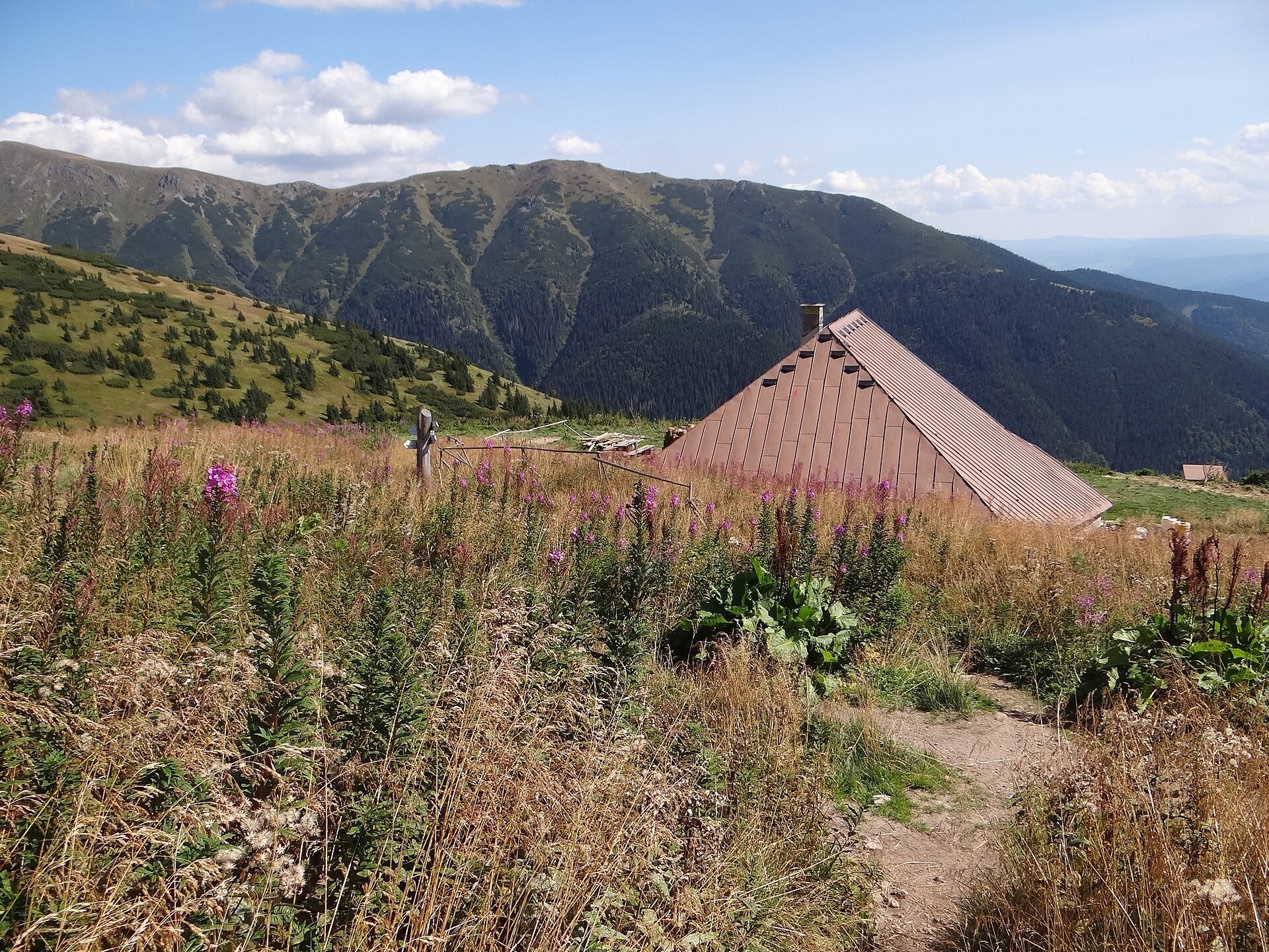
- The Ďurková shelter (Útulňa Ďurková, 1,623 m) stands in the middle of a large hoľa on the site of an old shepherds' salaš, marked on old maps as "Chabenecký salaš". The present building was put up in 2001; it is open all year, you sleep in your own sleeping bag, and there is a spring of drinking water next to it.
- When to go: in May–June, when crocuses and cinquefoils flower, or in September, when the grass turns russet.
How to get there
This is a serious mountain hike, not a walk for prams: you cannot drive up to the ridge. The classic option is the red trail Horná Poruba, U Brdárov – Pred Čuntavou (this is the Cesta hrdinov SNP) from Donovaly via Hiadeľské sedlo: from the saddle to Latiborská hoľa it is 13.7 km, about 970 m of ascent and 4 h 30 min of walking. From the south, from the village of Jasenie, routes lead to the Ďurková shelter through the Lomnistá valley – 13.9 km, about 4 h 25 min – or through the Jasenianska valley via Struhárske sedlo – about 4 h 45 min; from the shelter to the ridge it is another 30 min (trail Junction above Ďurková Saddle – Jasenie). From the north the blue trail Ľupčianska dolina, Tajch – Sedlo Latiborskej hole climbs to the Latiborská hoľa saddle, and from Liptovská Lúžna a yellow trail leads via Sedlo pod Skalkou. Times are from the trail signposts (pl.wikipedia).
Season and safety
On the open crest there is nowhere to shelter from thunderstorms, fog and wind; in winter the steep northern and western slopes of Prašivá and Veľká Chochuľa are prone to avalanches, and a memorial to avalanche victims stands below the Košarisko saddle. Low Tatras NP rules (NAPANT, as of October 2026): walk only on marked trails and only in daytime – from one hour after sunrise to one hour before sunset; dogs only on a lead and muzzled; on a multi-day ridge traverse you may spend the night only at designated places, including next to the Ďurková shelter if it is full. From 1 October to 30 June three side trails of the park are closed, among them the yellow Žiar – Kotliská trail east of Chabenec. Mountain Rescue Service – 18 300.
Nearby
To the east the ridge continues with the hole of the Low Tatras between Chopok and Chabenec. In the northern valleys are the Vajskovský vodopád (Vajskovský Waterfall) and the Brankovský waterfall — the highest in the Low Tatras.
Official website: napant.sk
Photos: Michal Klajban, CC BY-SA 3.0, Wikimedia Commons; maczopikczu, CC BY 3.0, Wikimedia Commons; Jerzy Opioła, CC BY-SA 4.0, Wikimedia Commons; Daniel Baránek, CC BY-SA 3.0, Wikimedia Commons.
Getting there from Ukraine
Border crossings
- Uzhhorod – Vyšné Nemecké — road, 24/7
- Malyi Bereznyi – Ubľa — road, 24/7 For cars and buses; pedestrians not confirmed by the Ukrainian border service, lorries up to 3.5 t.
- Mali Selmentsi – Veľké Slemence (pedestrian) — pedestrian, 09:00–21:00 Kyiv time Pedestrians and cyclists only; inconvenient for the Tatras without onward transport.
- Chop – Čierna nad Tisou (rail) — rail, 24/7
By car
From Uzhhorod ≈275 km, ≈3 h 35 min without queues: Uzhhorod – Vyšné Nemecké → I/19 to Košice → D1 motorway via Prešov, Poprad and Liptovský Mikuláš to Ružomberok (≈270 km, ≈3 h 25 min from the border). From Lviv it is faster through Poland: M-10 → Krakovets – Korczowa → A4 to Kraków → S7/DK7 to the Chyżne – Trstená border → R3 and I/59 via Dolný Kubín to Ružomberok: ≈482 km, ≈6 h 15 min (via Uzhok and Ubľa ≈500 km, ≈7 h 30 min). The D1 requires an e-vignette (eznamka.sk).
Checked 23.10.2026; border crossing hours and timetables change — check before you travel.
Location on the map
Water and shelter nearby
- Spring below Latiborská hoľa (east slope)530 m · Not verified · 1 490 m
- Spring below Latiborská hoľa (west slope)620 m · Not verified · 1 434 m
- Spring below Latiborská hoľa (south-west slope), 1 403 m730 m · Not verified · 1 403 m
- Latiborská730 m · Not verified · 1 304 m
- Spring below Latiborská hoľa (north slope)740 m · Not verified · 1 303 m
- Spring below Turánske (south-east slope), 1 297 m810 m · Not verified · 1 297 m
- Spring below Turánske (south-east slope), 1 282 m870 m · Not verified · 1 282 m
- Spring below Latiborská hoľa (north-east slope)890 m · Not verified · 1 395 m
- Spring below Latiborská hoľa (south-west slope), 1 408 m890 m · Not verified · 1 408 m
- Spring below Turánske (south-east slope), 1 299 m910 m · Not verified · 1 299 m
- Spring below Turánske (south-east slope), 1 252 m920 m · Not verified · 1 252 m
- Spring below Turánske (east slope), 1 240 m940 m · Not verified · 1 240 m
- Spring below Turánske (east slope), 1 236 m980 m · Not verified · 1 236 m
- Spring below Latiborská (south slope)980 m · Not verified · 1 301 m
- Spring below Latiborská (south-west slope), 1 262 m1 km · Not verified · 1 262 m
- Spring below Veľká hoľa (east slope)1.1 km · Not verified · 1 518 m
Comments
Trails nearby
All trails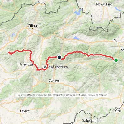 HardMulti-dayMarkedHorná Poruba, U Brdárov Pred ČuntavouElevation profile309–2 004 m241.6 kmascent 15 694 munder 1 km from Hole of the western Low Tatras: from Prašivá to Ďurková
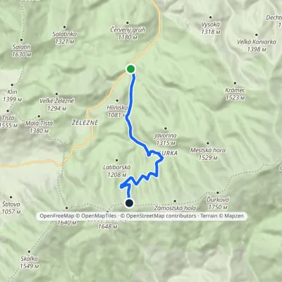 ModerateOne-dayMarkedĽupčianska dolina, Tajch Sedlo Latiborskej holeElevation profile799–1 558 m7.9 kmascent 761 m≈ 3.5 h walkingunder 1 km from Hole of the western Low Tatras: from Prašivá to Ďurková
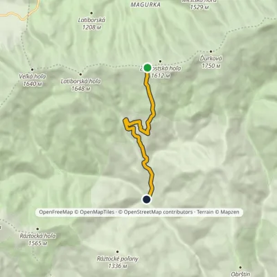 EasyOne-dayMarkedJasenianska kyslá Sedlo Zámostskej holeElevation profile691–1 591 m6.3 kmascent 4 m≈ 1.5 h walking1.9 km from Hole of the western Low Tatras: from Prašivá to Ďurková
Nearby attractions
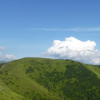 PeakLatiborská hoľaLiptovská Lúžnaaltitude 1 648 munder 1 km from Hole of the western Low Tatras: from Prašivá to ĎurkováLatiborská hoľa is a broad, treeless summit 1648 m high on the main ridge of the Low Tatras, in the western part of the Ďumbier Tatras, Slovakia.
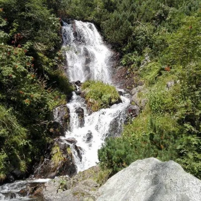 WaterfallVajskovský vodopád (Vajskovský Waterfall)Demänovská Dolina9.8 km from Hole of the western Low Tatras: from Prašivá to ĎurkováVajskovský vodopád is a cascading waterfall in the upper part of the Vajskovská dolina on the southern side of the Low Tatras, within the Low Tatras National Park ...
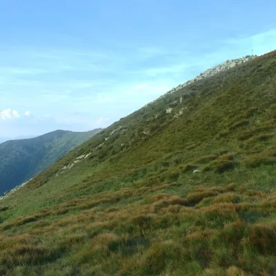 Mountain meadowHole of the Low Tatras between Chopok and ChabenecLaziskoaltitude 1 890 m10 km from Hole of the western Low Tatras: from Prašivá to ĎurkováThe highest section of the grassy main ridge of the Low Tatras (Nízke Tatry) runs west from Chopok (2,024 m), reached by cable cars from the Jasná resort, over Dereše ...
Craft nearby
All craft places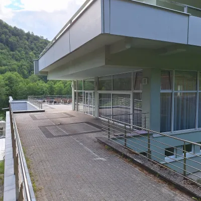 Water parks & thermal poolsBrusno Spa: mineral springs, treatments and Caracalla SpaBrusno16 km from Hole of the western Low Tatras: from Prašivá to ĎurkováBrusno Spa (Kúpele Brusno) lies in the Hron valley (Horehronie), about 20 km north-east of Banská Bystrica, on the northern slopes of the Vepor massif in the Slovak...
 Water parks & thermal poolsBešeňová Water ParkBešeňová20 km from Hole of the western Low Tatras: from Prašivá to ĎurkováBešeňová — the "thermal heart of Liptov" Bešeňová Water Park (Vodný park Bešeňová) lies on the edge of the village of the same name in the western part of the Liptov...
 Koliby & Hutsul cuisineSalaš Dechtáre above Liptovská MaraGalovany20 km from Hole of the western Low Tatras: from Prašivá to ĎurkováSalaš Dechtáre is a wooden koliba above the Liptovská Mara reservoir that is described as one of Slovakia’s first commercial salaš restaurants.
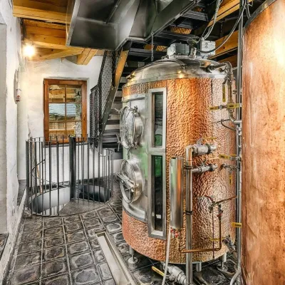 Craft beer & breweriesURSUS craft brewery, Čutkovská valleyRužomberok20 km from Hole of the western Low Tatras: from Prašivá to ĎurkováURSUS craft brewery (Remeselný pivovar URSUS) is the first brewery of the town of Ružomberok, tucked away in the picturesque Čutkovská valley in lower Liptov.
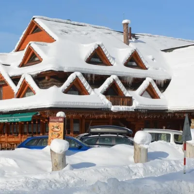 Koliby & Hutsul cuisineKoliba Strachanovka, Jánska valleyLiptovský Ján23 km from Hole of the western Low Tatras: from Prašivá to ĎurkováKoliba Strachanovka (Jánska koliba) is a large wooden koliba at the entrance to the Jánska valley in the village of Liptovský Ján, which locals consider one of the...
 Craft beer & breweriesLiptovar brewery, Liptovský Mikuláš: craft beer and brewpubLiptovský Mikuláš23 km from Hole of the western Low Tatras: from Prašivá to ĎurkováLiptovský Mikuláš is the main town of the Liptov region, a short drive from the Low and Western Tatras, the Demänovská Valley and the Liptovská Mara reservoir.
