Staré Hory
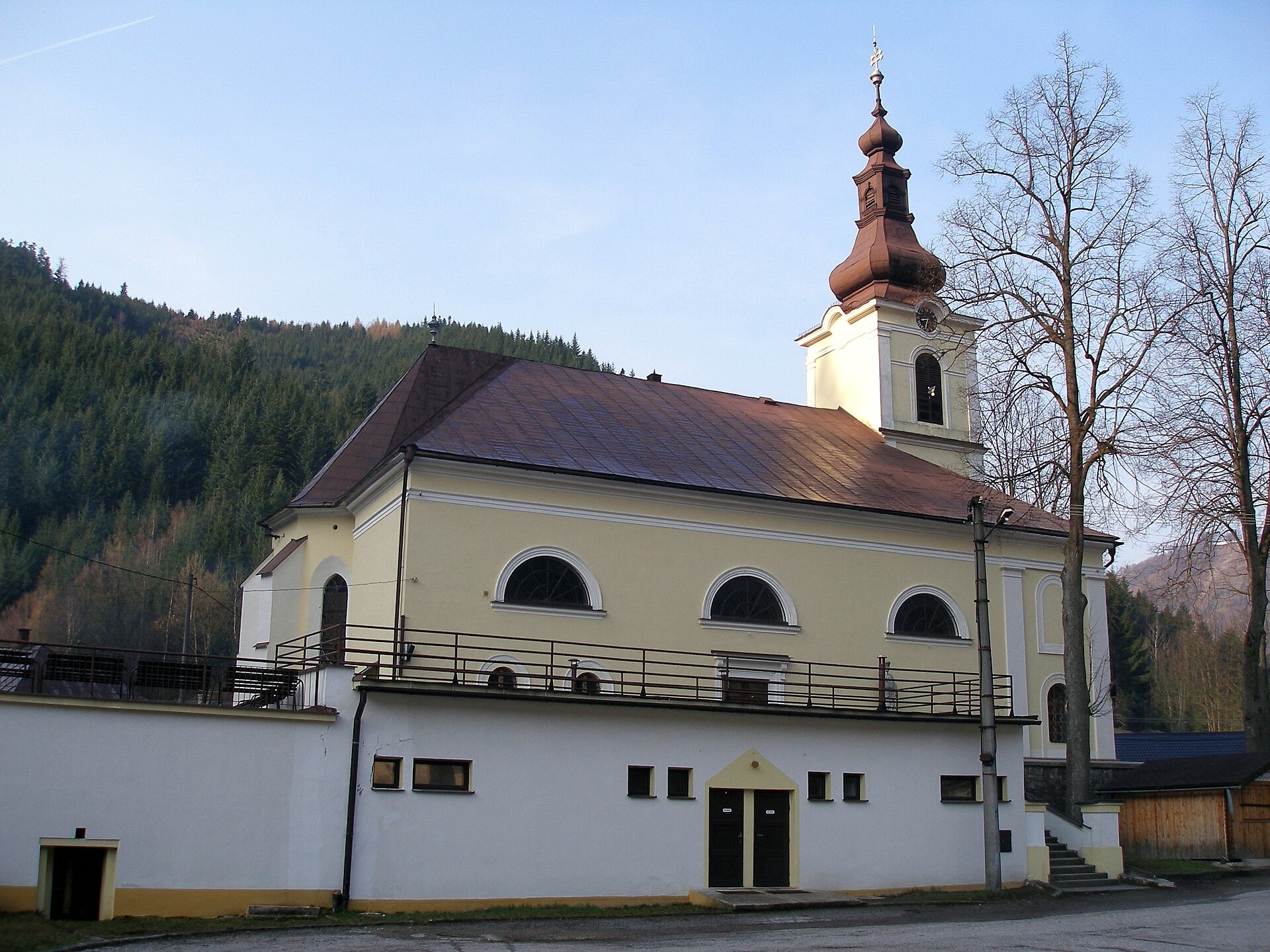
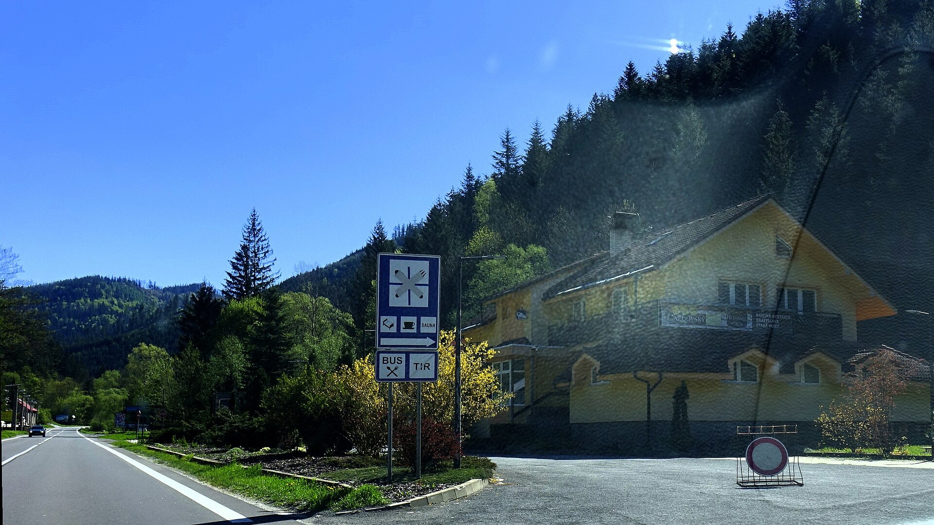
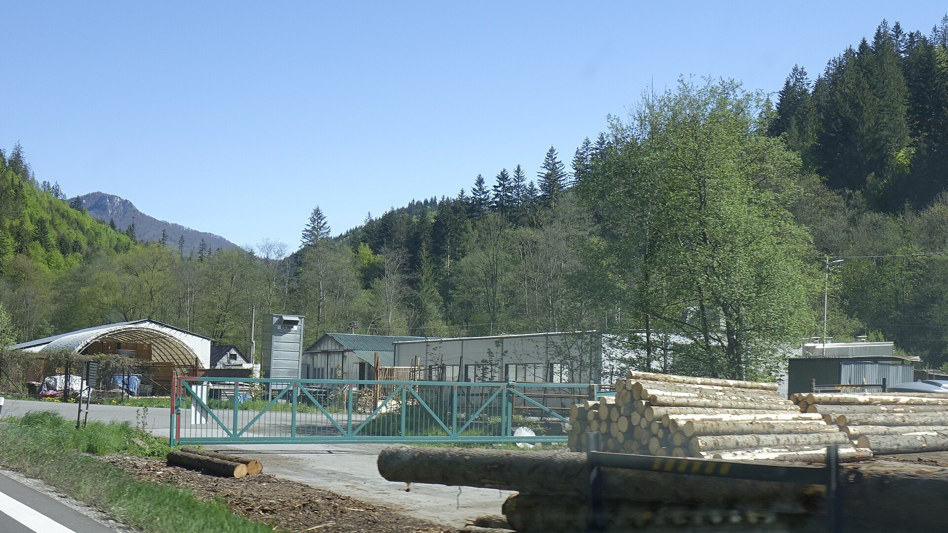
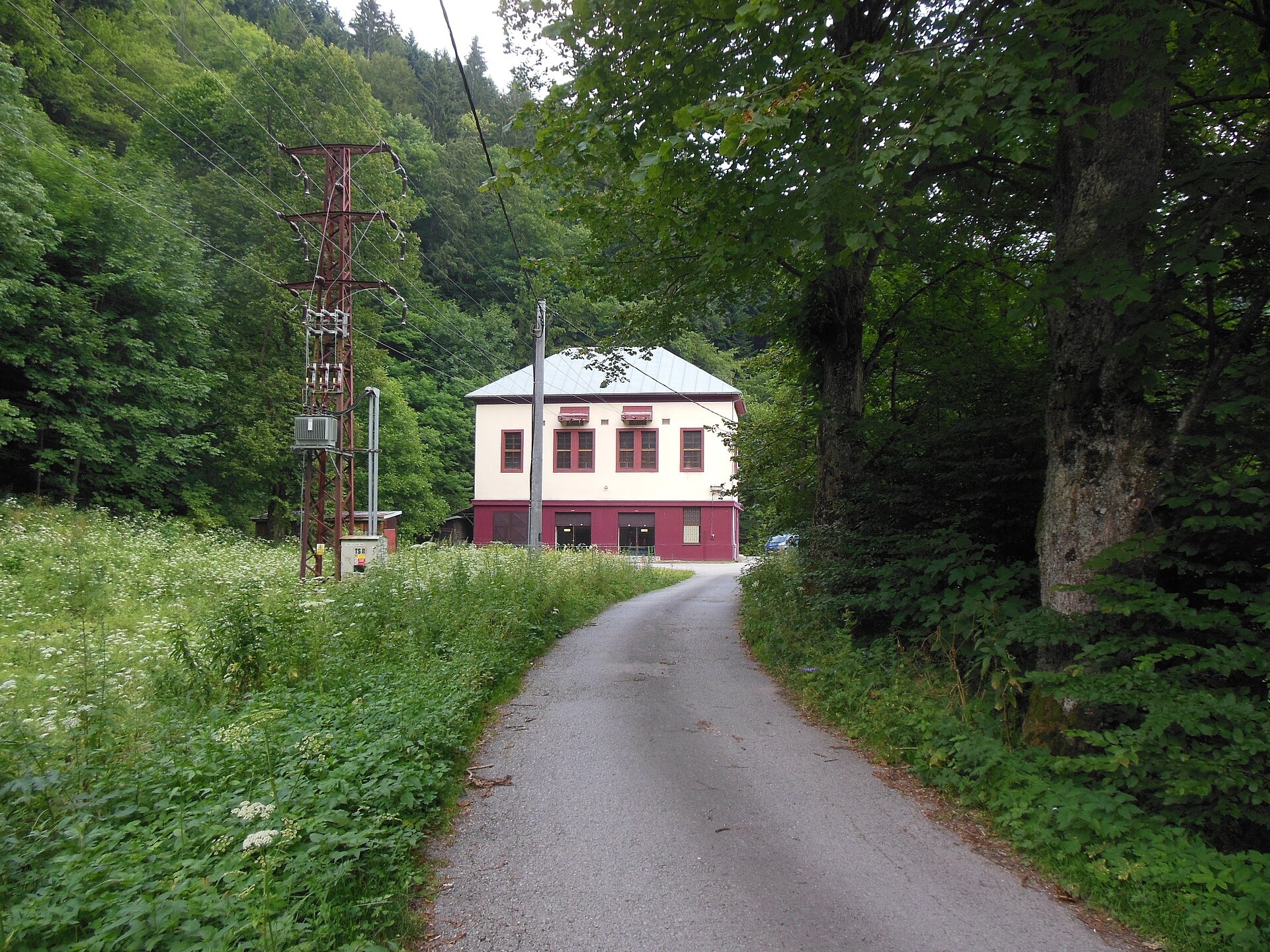
Photos: Jozef Kotulič, CC BY 3.0 (Wikimedia Commons); Tamás Schnierer (mr-…, CC BY 3.0 (Wikimedia Commons); Ing. Mgr. Jozef Kotulič, CC BY-SA 4.0 (Wikimedia Commons); Ing. Mgr. Jozef Kotulič, CC BY-SA 4.0 (Wikimedia Commons); Matej Grochal, CC BY-SA 4.0 (Wikimedia Commons); Pudelek (Marcin Szala), CC BY-SA 4.0 (Wikimedia Commons)
Staré Hory is a village in the Banská Bystrica District of the Banská Bystrica Region, Slovakia, located at an elevation of about 480 metres in the Greater Fatra mountains. The settlement is situated between the Greater Fatra and Low Tatra ranges, along the Staré Hory stream. As of 2025, the population is 568.
The first written mention of Staré Hory dates back to 1536. Copper was mined in the area as early as 2000–1700 BC, with stone tools from prehistoric miners found both here and in nearby Špania Dolina. In the 16th century, a smelting plant operated in the village, and later Staré Hory became known for bobbin lace production, which was sold throughout Austria-Hungary.
Staré Hory is known as a pilgrimage site: the Basilica of the Visitation, originally built in the 15th century, stands in the village, along with a spring featuring a statue of the Virgin Mary. Several historic chapels remain, including the Chapel of St. Anne (built in 1600) and the Chapel of the Holy Trinity (1794).
For visitors, Staré Hory is a convenient starting point for hikes into the Greater Fatra. Marked trails such as "Staré Hory, by the chapel – Dolný Harmanec, station" and "Staré Hory, by the chapel – Krížna" begin here. Nearby natural attractions include Harmanec Cave, Kráľova studňa, the meadows of Krížna and Ploská, and the peaks Ostredok and Ploská. Mountain huts in the region include Limba pod Rakytovom and the Shelter under Ploská.
Getting there from Ukraine
From Uzhhorod ≈275 km, ≈3 h 35 min without queues: Uzhhorod – Vyšné Nemecké → I/19 to Košice → D1 motorway via Prešov, Poprad and Liptovský Mikuláš to Ružomberok (≈270 km, ≈3 h 25 min from the border). From Lviv it is faster through Poland: M-10 → Krakovets – Korczowa → A4 to Kraków → S7/DK7 to the Chyżne – Trstená border → R3 and I/59 via Dolný Kubín to Ružomberok: ≈482 km, ≈6 h 15 min (via Uzhok and Ubľa ≈500 km, ≈7 h 30 min). The D1 requires an e-vignette (eznamka.sk).
Sources: Wikipedia, Wikidata, OpenStreetMap, Karpaty.rocks data. More on Wikipedia
What's nearby
Trails nearby
All trails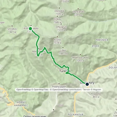 EasyOne-dayMarkedKráľova studňa, spring Staré Hory, near chapelElevation profile482–1 357 m10.5 kmascent 36 m≈ 2.5 h walkingunder 1 km from the centre
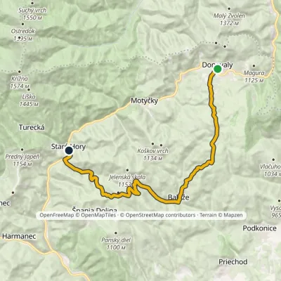 ModerateTwo-dayMarkedStaré Hory, near chapel Donovaly, recreational centerElevation profile472–1 111 m19.6 kmascent 605 m≈ 6 h walkingunder 1 km from the centre
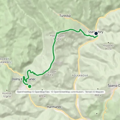 ModerateOne-dayMarkedStaré Hory, by the chapel Dolný Harmanec, stationElevation profile479–1 154 m9.7 kmascent 750 m≈ 4 h walkingunder 1 km from the centre
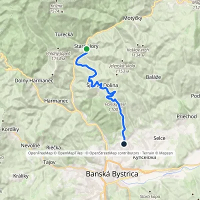 ModerateOne-dayMarkedBanská Bystrica, Pieninská Staré Hory, by the chapelElevation profile466–1 100 m15.8 kmascent 785 m≈ 5.5 h walkingunder 1 km from the centre
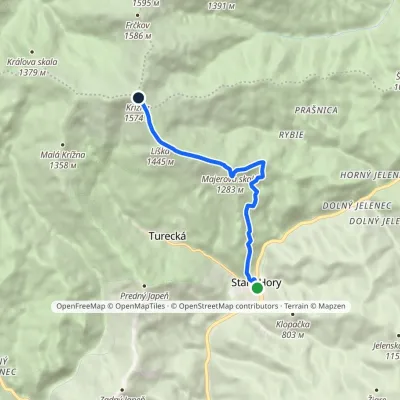 ModerateOne-dayMarkedStaré hory, by the chapel KrížnaElevation profile482–1 574 m7.3 kmascent 1 139 m≈ 4 h walkingunder 1 km from the centre
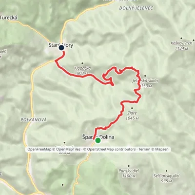 EasyOne-dayMarkedPartizánsky chodníkElevation profile472–978 m10.8 kmascent 277 m≈ 3.5 h walkingunder 1 km from the centre
Peaks nearby
All peaks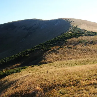 PeakFrčkovTureckáaltitude 1 585 m6.6 km from the centre1 trail to the topFrčkov is a 1585 m summit in the central part of the Greater Fatra (Veľká Fatra) in Slovakia, the second highest in the range after Ostredok.
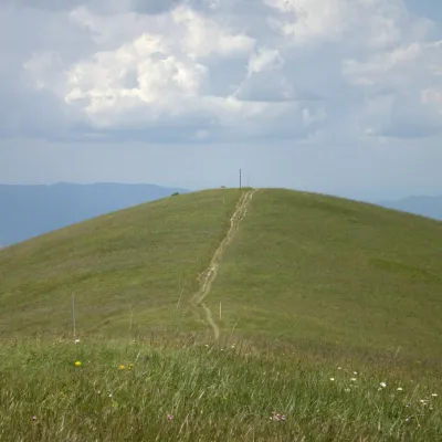 PeakOstredokTureckáaltitude 1 596 m7.2 km from the centre1 trail to the topOstredok is the highest peak of the Greater Fatra (Veľká Fatra) at 1,596 m. It lies in the central part of the range, in the Hôľna Fatra, above the village of...
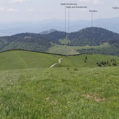 PeakSmrekovTureckáaltitude 1 441 m8.5 km from the centreSmrekov is a 1441 m summit in the southern part of the Greater Fatra (Veľká Fatra) in Slovakia. It belongs to the Bralná Fatra, the part of the range where many...
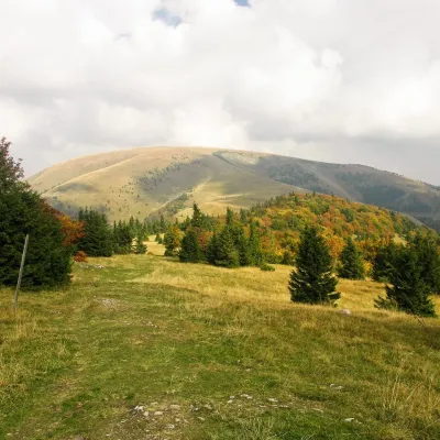 PeakPloskáLiptovské Revúcealtitude 1 532 m11 km from the centre1 trail to the topPloská is a 1,532 m summit on the main ridge of the Greater Fatra (Veľká Fatra) in Slovakia and one of the highest peaks of the range.
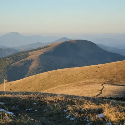 PeakBorišovLiptovské Revúcealtitude 1 510 m12 km from the centreBorišov is a 1,510 m summit in the central part of the Greater Fatra (Veľká Fatra) in Slovakia, in its highest section, the Hôľna Fatra.
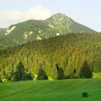 PeakDrienokBlatnicaaltitude 1 268 m13 km from the centreDrienok (formerly Drieňok) is a 1268 m limestone and dolomite summit in the south-western part of the Slovak Veľká Fatra.
What to visit
All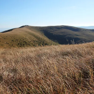 Mountain meadowKrížna and the hole meadows of Veľká FatraTureckáaltitude 1 574 m5 km from the centreKrížna (1,574 m) is a broad grassy massif in the central part of Veľká Fatra in Slovakia, the third-highest summit of these mountains after Ostredok and Frčkov.
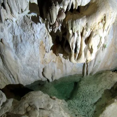 NatureHarmanecká CaveDolný Harmanec6.1 km from the centreThe “White Cave” above the Harmanec valley Harmanecká Cave (Harmanecká jaskyňa) lies in the valley of the Harmanec stream north-west of Banská Bystrica, in the...
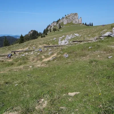 Mountain meadowKráľova studňa: meadow plateau and springs in Veľká FatraDolný Harmanecaltitude 1 365 m7.1 km from the centreKráľova studňa (literally the «King's Well») is a broad grassy plateau on the main ridge of Veľká Fatra, at the western edge of the Krížna massif.
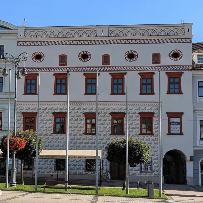 MuseumThurzo House — Central Slovak Museum, Banská BystricaBanská Bystrica12 km from the centreThe Thurzo House (Thurzov dom) is one of the finest buildings on the main SNP Square in Banská Bystrica, with Renaissance sgraffito on its façade and an ornate attic...
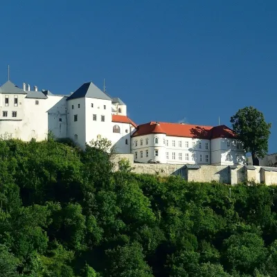 CastleĽupča CastleSlovenská Ľupča14 km from the centreĽupča Castle (Ľupčiansky hrad, Hrad Ľupča) rises above the village of Slovenská Ľupča in the Hron valley, about 10 km east of Banská Bystrica.
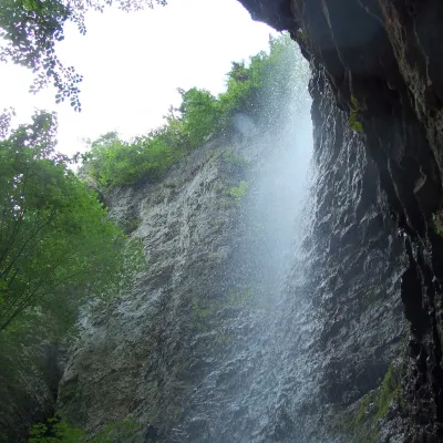 WaterfallBrankovský waterfall — the highest in the Low TatrasLiptovská Osada22 km from the centreThe Brankovský waterfall (Brankovský vodopád) is the highest waterfall in the Low Tatras: the water drops 55 m.
Craft nearby
All craft places Craft shopsÚĽUV Banská Bystrica: folk-craft shop and craft schoolBanská Bystrica12 km from the centreÚĽUV (Ústredie ľudovej umeleckej výroby, the Centre for Folk Art Production) is a state institution that has looked after Slovak folk crafts since 1945: it keeps a...
 Craft beer & breweriesUrpiner brewery in Banská Bystrica: tour and beer from the tankBanská Bystrica15 km from the centreBanská Bystrica is the centre of Central Slovakia and grew rich on copper mining in the 14th–16th centuries.
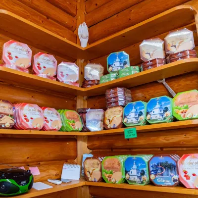 Cheese dairies & pasturesTuriec bryndza dairy, Turčianske Teplice: bryndza since 1917Turčianske Teplice19 km from the centreMore than a hundred years of Turiec bryndza Turiec is a wide basin between the ridges of the Veľká and Malá Fatra, a land of pastures and old sheep farming.
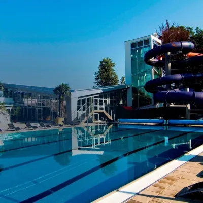 Water parks & thermal poolsSpa & Aquapark Turčianske TepliceTurčianske Teplice19 km from the centreTurčianske Teplice is one of Slovakia’s oldest spa towns. Its warm springs were first mentioned in 1281 in a deed of gift by King Ladislaus IV, and from 1533 they...
 Craft producersKremnica gingerbread: the Haurík family bakery since 1922Kremnica21 km from the centreKremnica is an old mining town in the Kremnica Mountains where coins have been struck for more than six centuries.
 Water parks & thermal poolsBrusno Spa: mineral springs, treatments and Caracalla SpaBrusno22 km from the centreBrusno Spa (Kúpele Brusno) lies in the Hron valley (Horehronie), about 20 km north-east of Banská Bystrica, on the northern slopes of the Vepor massif in the Slovak...
Spas and thermal pools nearby
Water parks & thermal poolsSpa & Aquapark Turčianske TepliceTurčianske Teplice19 km from the centreTurčianske Teplice is one of Slovakia’s oldest spa towns. Its warm springs were first mentioned in 1281 in a deed of gift by King Ladislaus IV, and from 1533 they...Water parks & thermal poolsBrusno Spa: mineral springs, treatments and Caracalla SpaBrusno22 km from the centreBrusno Spa (Kúpele Brusno) lies in the Hron valley (Horehronie), about 20 km north-east of Banská Bystrica, on the northern slopes of the Vepor massif in the Slovak...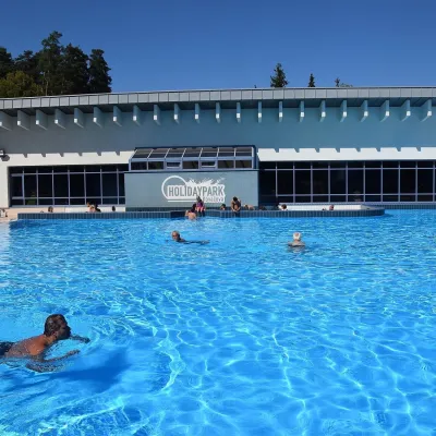 Water parks & thermal poolsKováčová: thermal spa and Holidaypark aquapark near ZvolenKováčová26 km from the centreKováčová is a spa village on the south-western edge of the Zvolen Basin, 4 km west of Zvolen at the foot of the Kremnica Mountains; the village centre lies at 303 m.
Huts, shelters and springs nearby
Getting there from Ukraine
Border crossings
- Uzhhorod – Vyšné Nemecké — road, 24/7
- Malyi Bereznyi – Ubľa — road, 24/7 For cars and buses; pedestrians not confirmed by the Ukrainian border service, lorries up to 3.5 t.
- Mali Selmentsi – Veľké Slemence (pedestrian) — pedestrian, 09:00–21:00 Kyiv time Pedestrians and cyclists only; inconvenient for the Tatras without onward transport.
- Chop – Čierna nad Tisou (rail) — rail, 24/7
By car
From Uzhhorod ≈275 km, ≈3 h 35 min without queues: Uzhhorod – Vyšné Nemecké → I/19 to Košice → D1 motorway via Prešov, Poprad and Liptovský Mikuláš to Ružomberok (≈270 km, ≈3 h 25 min from the border). From Lviv it is faster through Poland: M-10 → Krakovets – Korczowa → A4 to Kraków → S7/DK7 to the Chyżne – Trstená border → R3 and I/59 via Dolný Kubín to Ružomberok: ≈482 km, ≈6 h 15 min (via Uzhok and Ubľa ≈500 km, ≈7 h 30 min). The D1 requires an e-vignette (eznamka.sk).
Checked 23.10.2026; border crossing hours and timetables change — check before you travel.
