Ploská
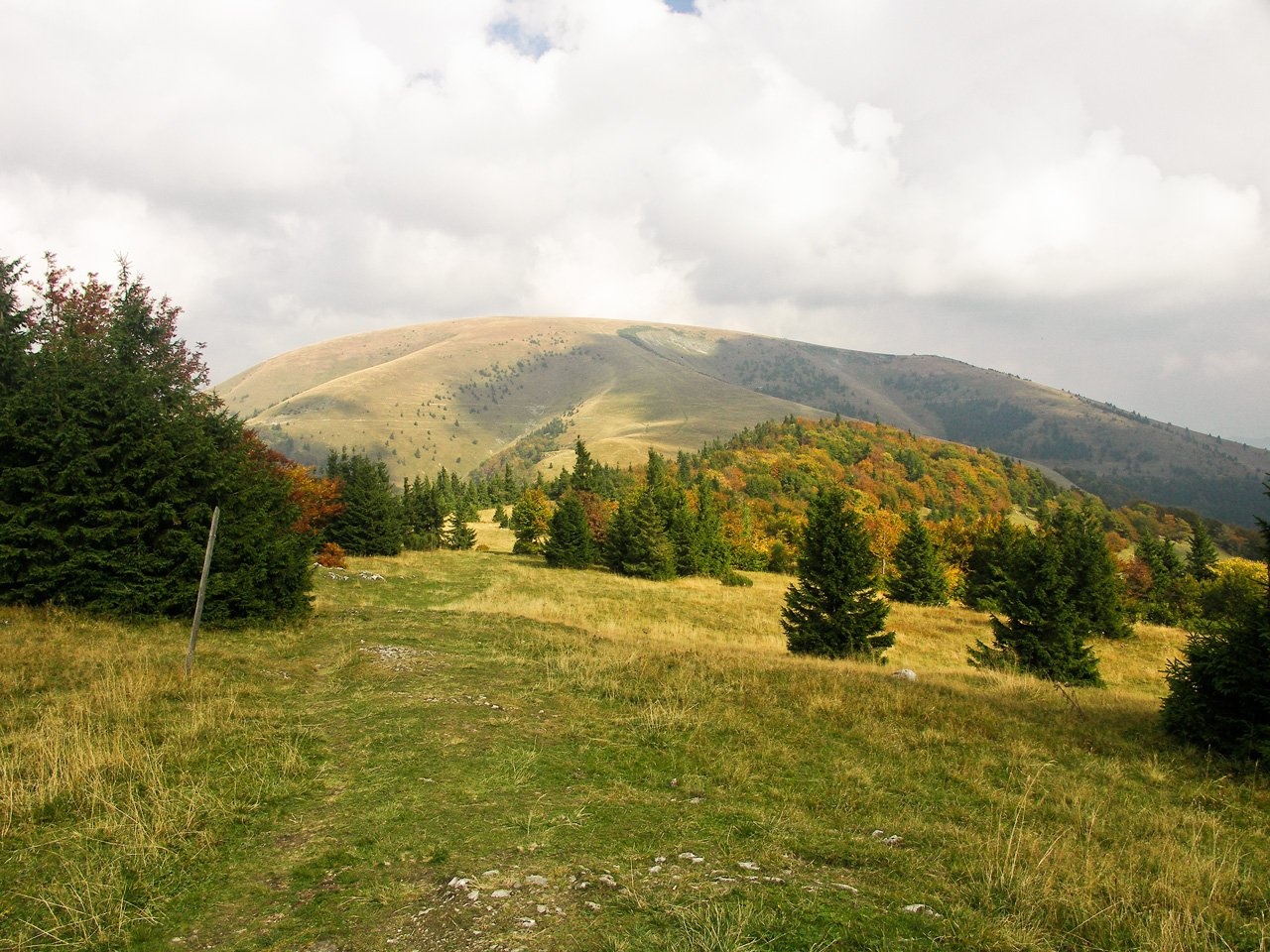
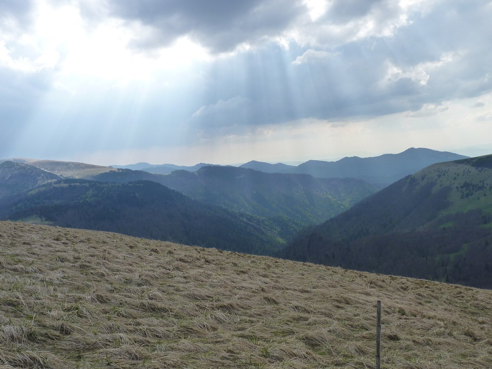
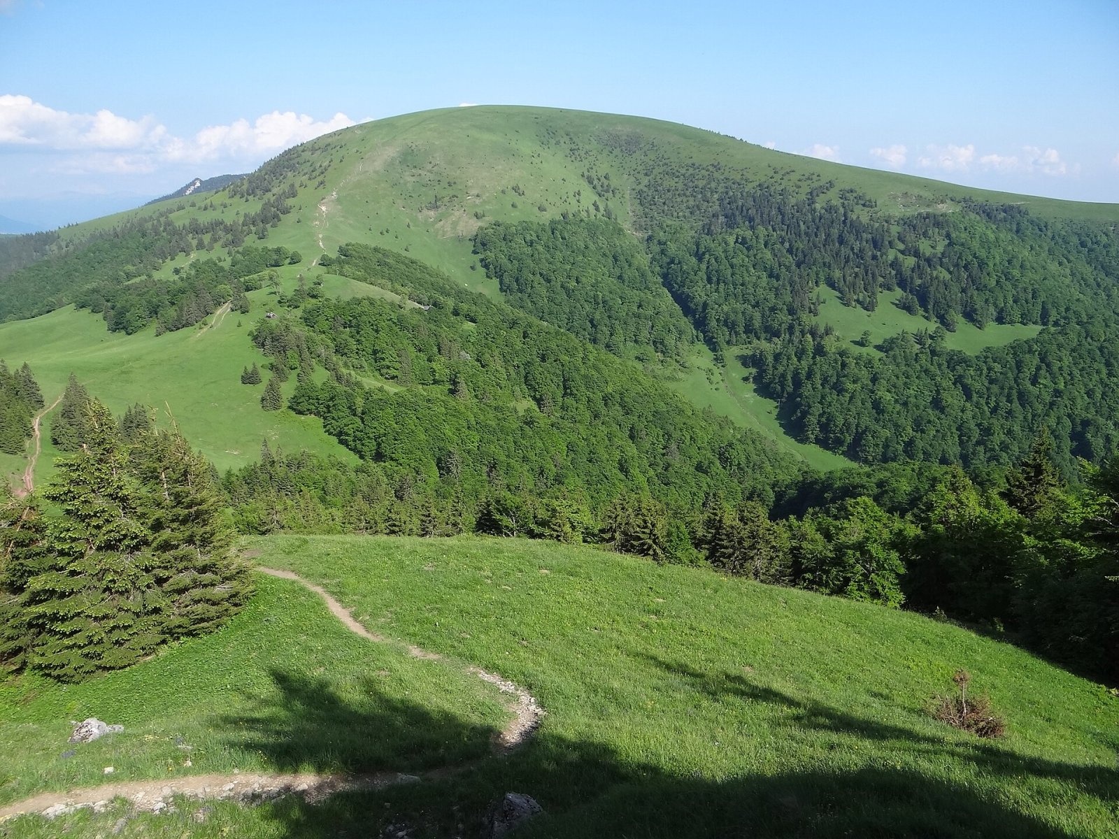
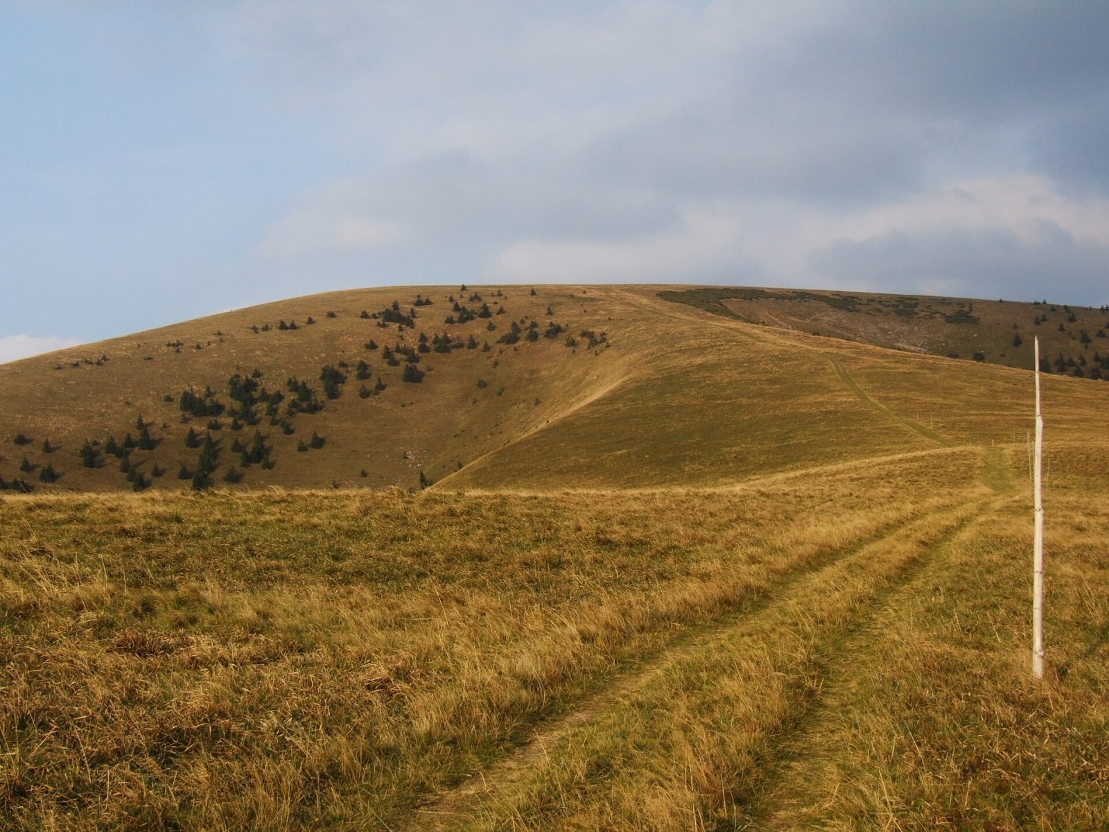
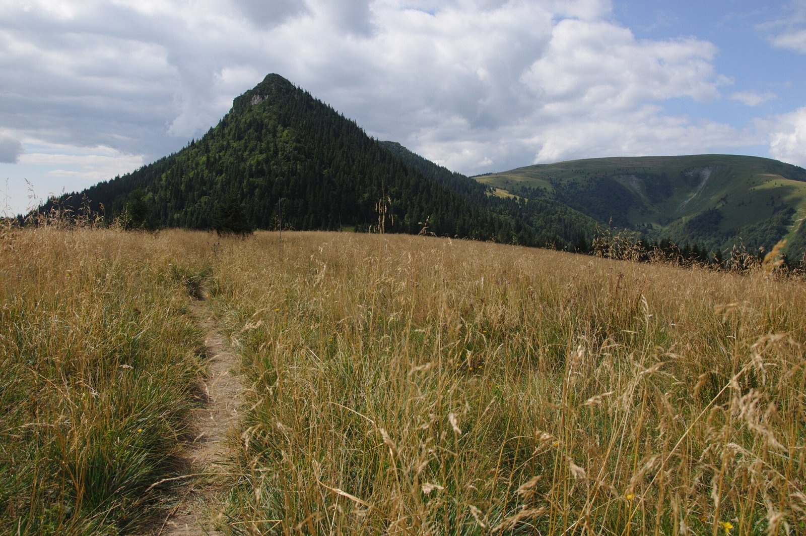
Ploská is a 1,532 m summit on the main ridge of the Greater Fatra (Veľká Fatra) in Slovakia and one of the highest peaks of the range. It lies in the central part, in the Hôľna Fatra subunit, inside Veľká Fatra National Park. The boundary between the Martin and Ružomberok districts of the Žilina Region runs across the massif, where the cadastres of Belá-Dulice and Liptovské Revúce meet. The nearest village is Liptovské Revúce in the Revúca valley, about 4.7 km to the south-east; to the west the Necpalská dolina valley leads down to Necpaly in the Turiec basin.
The Slovak name means “flat”, and it describes the mountain well: instead of a sharp top there is a wide, gently tilted grassy plateau, a remnant of an old planation surface. Ploská is a knot of ridges. To the south the main ridge continues to Ostredok, the highest peak of the Greater Fatra, and on to Krížna; to the north-east the “Liptov ridge” runs over sedlo Ploskej and Čierny kameň to Rakytov; to the north-west a spur leads to Borišov, and between Ploská and Borišov the long “Turiec ridge” with Lysec and Kľak branches off. The mountain rises above three valleys: the Revúcka dolina with its branch Zelená dolina to the south-east, the Ľubochnianska dolina to the north and the Necpalská dolina with Hornoborišovská dolina to the west. The Necpalský potok rises on the western slope, the Ľubochnianka stream on the eastern side.
Getting there / routes
The red-marked Veľkofatranská magistrála (KST 0870), the main ridge trail of the range, crosses the summit. The yellow route KST 8604 branches off nearby via sedlo Ploskej. Polish Wikipedia, based on Slovak guidebooks, gives these walking times:
- from Chata pod Borišovom, the hut in the saddle west of the summit – about 1 h up, 35 min back;
- from the village of Liptovské Revúce in the Revúca valley – about 2 h 45 min, 2 h 15 min back;
- from Krížna along the main ridge via Ostredok – about 3 h 30 min.
Marked paths also reach Chata pod Borišovom from Necpaly through the Necpalská dolina and from Belá-Dulice through the Belianska dolina; from the north the ridge trail arrives from Chyžky. Near the trail junction by the summit is the grave of a participant in the 1944 Slovak National Uprising.
The view from the top
According to Slovak sources the bare summit plateau gives an all-round view: many Greater Fatra peaks and, in good weather, the Lesser Fatra, the Choč Mountains, the High and Low Tatras and sometimes even Poľana, Babia Góra and Lysá hora in the Beskids. Polish authors note that because the plateau is so broad, the nearby valleys are largely hidden and the panorama consists mainly of distant horizons. Close neighbours are Borišov, Čierny kameň, Chyžky and Ostredok.
Nature and history
The mountain is built of relatively soft Lower Cretaceous marly shales of the Fatric nappe. The plateau is covered by species-rich mountain meadows and pastures with globeflower, Siberian chives and alpine squill, while crocuses bloom on the northern slopes in spring. These meadows are not a natural alpine belt – they were created by shepherds who grazed livestock here for centuries; the upper tree line is formed by beech forest. The edges of the plateau are fringed by large landslides and avalanche gullies.
Safety, season and rules
Ploská is one of the most avalanche-prone mountains in the Greater Fatra. The flat top and steep grassy slopes are perfect for snow to release; the western slope above the head of the Necpalská dolina is notorious for spontaneous avalanches even when the danger elsewhere in the range is low. In summer a blue path traverses this slope as a shortcut to Chata pod Borišovom, but in winter it is a deadly trap – several hikers have died here, including in the 2010 avalanche accident in the Necpalská dolina. A warning sign stands by the path from Ploská to the hut.
The best time to go is from late spring to autumn; in winter go only with avalanche gear and after checking the forecast. Ploská lies in Veľká Fatra National Park: stay on marked trails, take your litter home and do not light fires. In an emergency call the Slovak Mountain Rescue Service HZS: 18 300 (+421 18 300) or 112.
Interesting facts
- The name literally means “flat” – a rare example in the Carpathians of an almost level summit plateau above 1,500 m.
- Ploská is the junction from which the three main ridges of the Greater Fatra radiate.
- The summit meadows are not natural but pastoral, shaped by centuries of grazing.
Photos: Caroig, CC BY-SA 2.5; Michal Klajban, CC BY-SA 3.0; Jerzy Opioła, CC BY-SA 4.0; Pudelek (Marcin Szala), CC BY-SA 3.0; Derbeth, CC BY 4.0; Pe3kZA, CC BY-SA 3.0 — Wikimedia Commons.
Getting there from Ukraine
Border crossings
- Uzhhorod – Vyšné Nemecké — road, 24/7
- Malyi Bereznyi – Ubľa — road, 24/7 For cars and buses; pedestrians not confirmed by the Ukrainian border service, lorries up to 3.5 t.
- Mali Selmentsi – Veľké Slemence (pedestrian) — pedestrian, 09:00–21:00 Kyiv time Pedestrians and cyclists only; inconvenient for the Tatras without onward transport.
- Chop – Čierna nad Tisou (rail) — rail, 24/7
By car
From Uzhhorod ≈275 km, ≈3 h 35 min without queues: Uzhhorod – Vyšné Nemecké → I/19 to Košice → D1 motorway via Prešov, Poprad and Liptovský Mikuláš to Ružomberok (≈270 km, ≈3 h 25 min from the border). From Lviv it is faster through Poland: M-10 → Krakovets – Korczowa → A4 to Kraków → S7/DK7 to the Chyżne – Trstená border → R3 and I/59 via Dolný Kubín to Ružomberok: ≈482 km, ≈6 h 15 min (via Uzhok and Ubľa ≈500 km, ≈7 h 30 min). The D1 requires an e-vignette (eznamka.sk).
Checked 23.10.2026; border crossing hours and timetables change — check before you travel.
Location on the map
Water and shelter nearby
- Necpalský potok Spring440 m · Not verified · 1 319 m
- Spring below Ploská (west slope), 1 318 m460 m · Not verified · 1 318 m
- Spring below Ploská (west slope), 1 304 m490 m · Not verified · 1 304 m
- Spring below Ploská (north-west slope)600 m · Not verified · 1 342 m
- Ľubochnianka Spring, 1 474 m620 m · Not verified · 1 474 m
- Captured spring below Ploská (south-west slope)620 m · Not verified · 1 363 m
- Spring below Ploská (south-west slope)660 m · Not verified · 1 339 m
- Spring below Ploská (south-east slope), 1 434 m690 m · Not verified · 1 434 m
- Ľubochnianka Spring, 1 298 m720 m · Not verified · 1 298 m
- Spring below Ploská (south-east slope), 1 456 m730 m · Not verified · 1 456 m
- Spring below Ploská (north-east slope), 1 236 m760 m · Not verified · 1 236 m
- Spring below Ploská (north slope), 1 240 m770 m · Not verified · 1 240 m
- Spring below Ploská (south-east slope), 1 464 m770 m · Not verified · 1 464 m
- Spring below Ploská (north slope), 1 226 m790 m · Not verified · 1 226 m
- Captured spring below Ploská (south-east slope)790 m · Not verified · 1 458 m
- Spring below Ploská (north slope), 1 234 m800 m · Not verified · 1 234 m
Comments
Trails via Ploská
All 1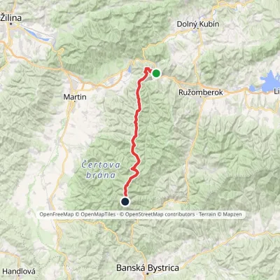
Nearby attractions
 Mountain meadowPloská and Borišov: meadows and mountain hut in the heart of Veľká FatraLiptovské Revúcealtitude 1 300 m1.6 km from PloskáPloská (1,532 m) and Borišov (1,510 m) are two treeless summits in the very centre of Veľká Fatra, with the old Chata pod Borišovom mountain hut (about 1,300 m)...
 PeakBorišovLiptovské Revúcealtitude 1 510 m2.2 km from PloskáBorišov is a 1,510 m summit in the central part of the Greater Fatra (Veľká Fatra) in Slovakia, in its highest section, the Hôľna Fatra.
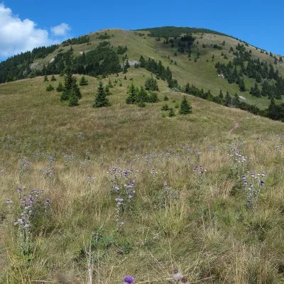 Mountain meadowThe hole of Rakytov – the grassy Liptov ridge of Veľká FatraLiptovské Revúcealtitude 1 567 m5.4 km from PloskáRakytov (1,567 m) is the highest summit of the Liptov branch of the main ridge of Veľká Fatra in Slovakia, in the Hôľna Fatra subunit, whose name comes from "hole" –...
Craft nearby
All craft places Craft beer & breweriesURSUS craft brewery, Čutkovská valleyRužomberok19 km from PloskáURSUS craft brewery (Remeselný pivovar URSUS) is the first brewery of the town of Ružomberok, tucked away in the picturesque Čutkovská valley in lower Liptov.
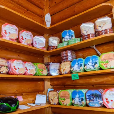 Cheese dairies & pasturesTuriec bryndza dairy, Turčianske Teplice: bryndza since 1917Turčianske Teplice20 km from PloskáMore than a hundred years of Turiec bryndza Turiec is a wide basin between the ridges of the Veľká and Malá Fatra, a land of pastures and old sheep farming.
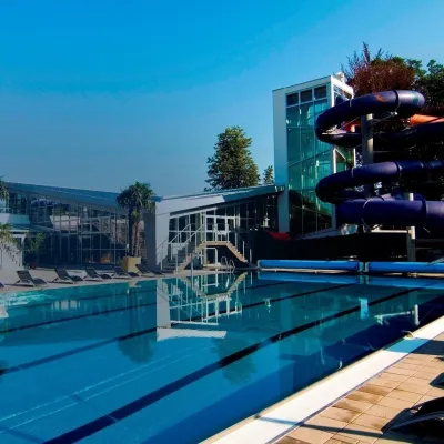 Water parks & thermal poolsSpa & Aquapark Turčianske TepliceTurčianske Teplice21 km from PloskáTurčianske Teplice is one of Slovakia’s oldest spa towns. Its warm springs were first mentioned in 1281 in a deed of gift by King Ladislaus IV, and from 1533 they...
 Cheese dairies & pasturesSalaš Krajinka near RužomberokRužomberok21 km from PloskáSalaš Krajinka is a genuine sheep farm on the edge of Ružomberok in lower Liptov. It was founded in 1983 to keep a thousand sheep, and the owners have deliberately...
 Craft shopsÚĽUV Banská Bystrica: folk-craft shop and craft schoolBanská Bystrica22 km from PloskáÚĽUV (Ústredie ľudovej umeleckej výroby, the Centre for Folk Art Production) is a state institution that has looked after Slovak folk crafts since 1945: it keeps a...
 Craft beer & breweriesUrpiner brewery in Banská Bystrica: tour and beer from the tankBanská Bystrica26 km from PloskáBanská Bystrica is the centre of Central Slovakia and grew rich on copper mining in the 14th–16th centuries.
