Ploská and Borišov: meadows and mountain hut in the heart of Veľká Fatra
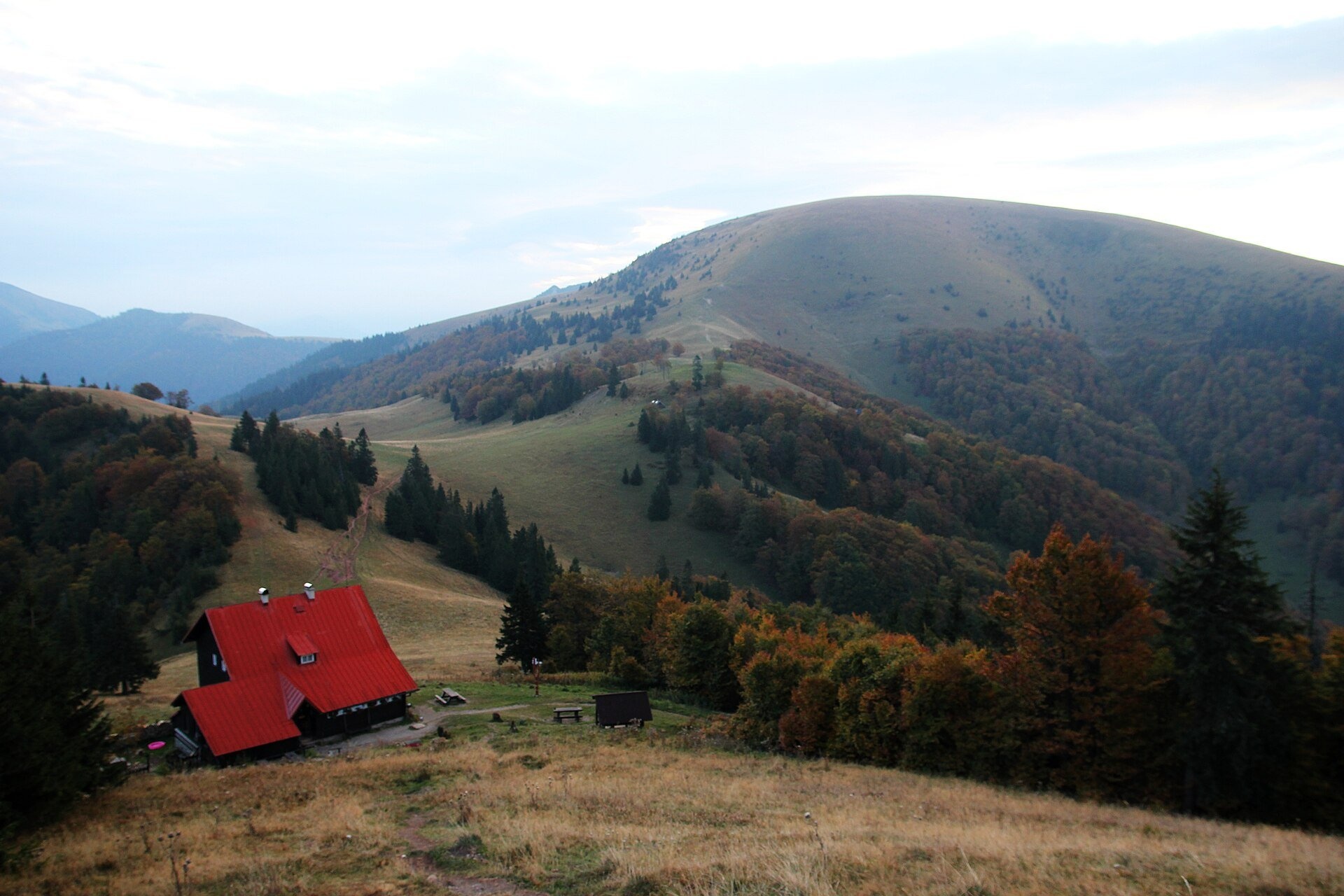
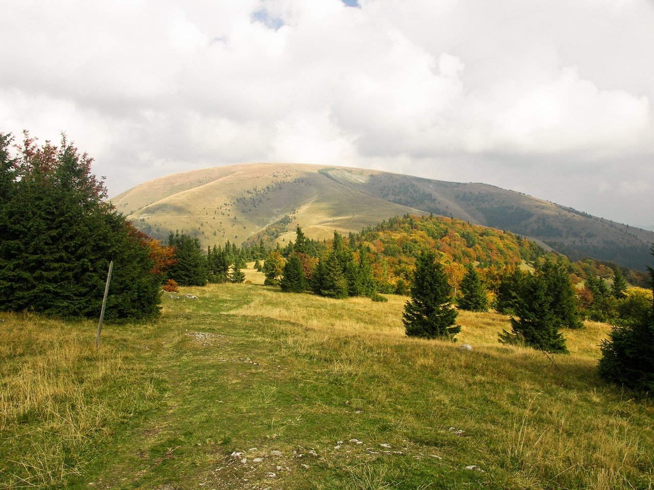
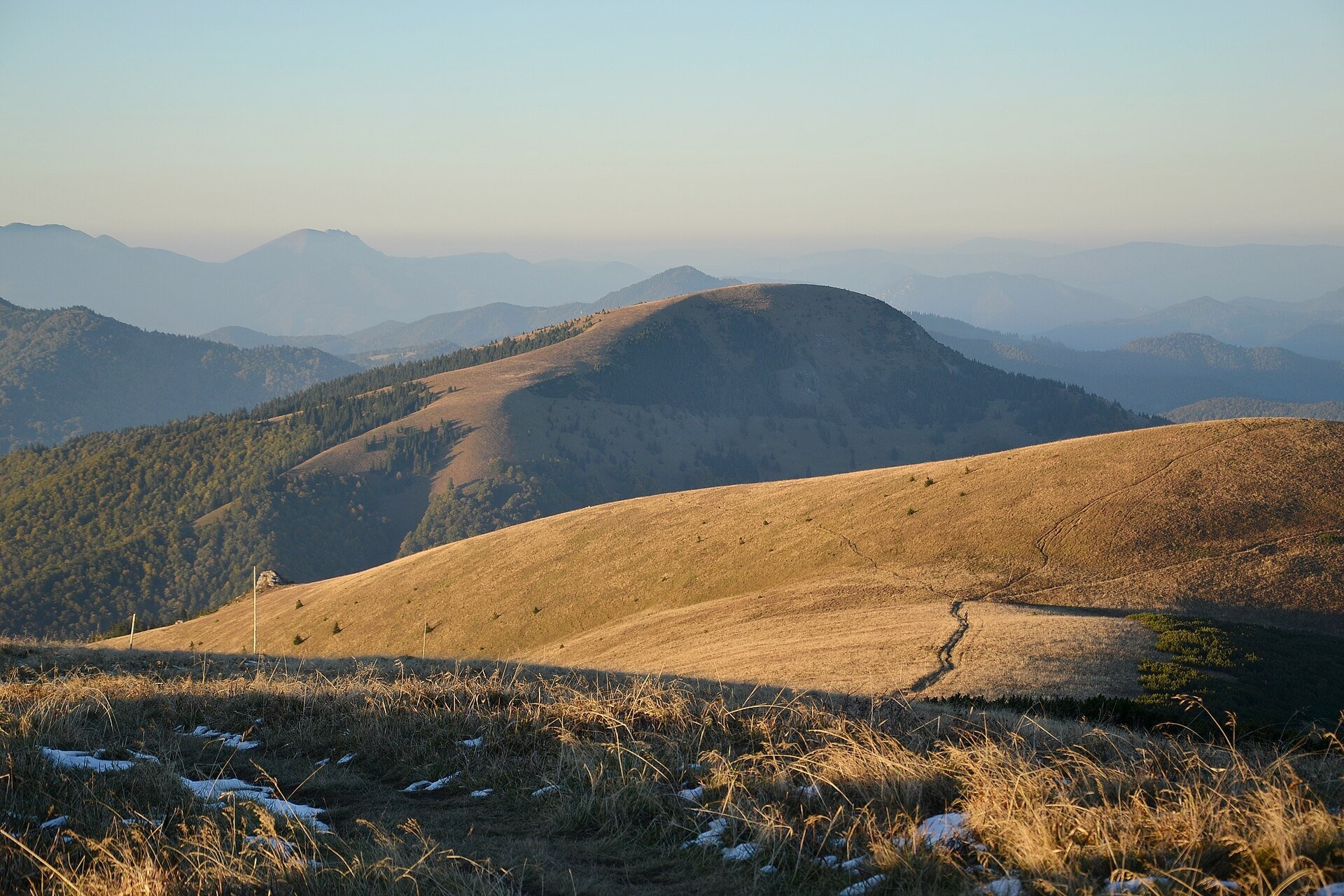
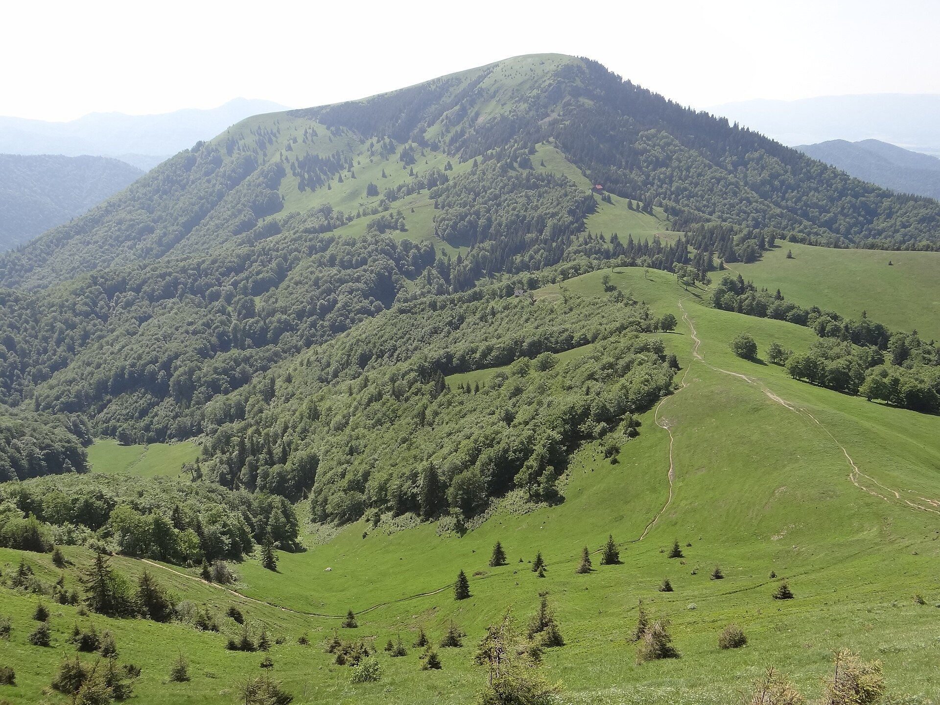
Ploská (1,532 m) and Borišov (1,510 m) are two treeless summits in the very centre of Veľká Fatra, with the old Chata pod Borišovom mountain hut (about 1,300 m) standing in the saddle between them. Ploská is a knot of the main ridge: from it run the Liptov branch towards Rakytov, the ridge to Krížna and Ostredok, and the spurs to Borišov and Lysec. The name means «flat», and rightly so: instead of a sharp peak there is a broad, almost level plateau — a remnant of an ancient planation surface — built of soft marly shales. Borišov is the highest summit of the Turiec branch of the range and the only one in it above 1,500 m. All of this is Veľká Fatra National Park; the northern slopes of Borišov have been protected since 1981 as the Borišov National Nature Reserve (about 450 ha).
The key thing to know about these meadows is that they are not a natural alpine zone but shepherds' hole pastures created by people. The ridge pastures of Veľká Fatra date back to the Wallachian colonisation of the 15th–17th centuries, and the isolated trees on the summit of Borišov show that forest once reached right to the top. Grazing continues today — in summer you may see flocks of sheep on the slopes of Ploská, and maps show shepherds' huts such as Salaš pod Ploskou. The Ploská meadows are rich in species: globeflower, Siberian chives and alpine squill; crocuses bloom on the northern slopes in spring. In early spring the dome of Borišov turns purple with Spiš crocus, in summer gentians and woolly thistle flower here, and roseroot grows on the rocks.
What to see and do
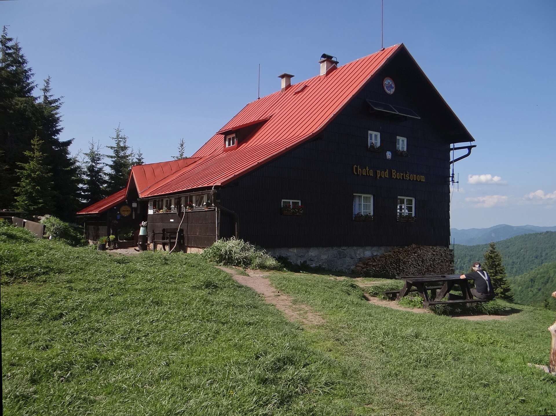
- Chata pod Borišovom hut. The wooden building on a stone base was built by the Martin branch of the Czechoslovak Tourist Club in 1937–1942; during the war partisans sheltered here, and Ploská served as a drop zone where aircraft dropped weapons for them — signal fires were lit on the summit beforehand. The hut miraculously survived and reopened after repairs in 1949. There is no electricity and no access road: paraffin lamps provide the light and porters carry supplies up on their backs. Today it is looked after by the Slovak Tourist Club.
- The climb to Borišov — the yellow trail from the hut: about 1 km and 45 minutes up (30 minutes down), with views of Ploská and the Necpalská and Belianska valleys.
- The Ploská plateau — room for an unhurried walk across the grass; by the trail junction on the summit is the grave of a participant in the 1944 Slovak National Uprising.
- Best time — early spring for crocuses, June for flowering meadows and October for russet grass.
Getting there
Ploská and Borišov lie deep in the mountains, far from roads, so this is a proper mountain hike (times from signposts as quoted by pl.wikipedia). The shortest approach is from Liptovské Revúce to Ploská: 2 h 45 min (2 h 15 min down), then about 35 minutes from Ploská to the hut. From the Turiec side long valley trails follow asphalt roads closed to cars: the blue trail from Necpaly up the Necpalská dolina — 14.5 km, 4 h 20 min; the green trail from Belá-Dulice up the Belianska dolina — 14.7 km, 4 h 35 min; there is also a yellow trail from the Ľubochnianska dolina. From the hut to Ploská takes 1 hour, and from there along the Veľkofatranská magistrála over Ostredok to Krížna is 9.9 km, about 3 h 30 min. The Močidlo – Borišov trail leads from the hut to Borišov, and from Ružomberok along the ridge runs the trail from A. Hlinka Square to the hut under Borišov. The hut is open all year, but bring your own sleeping bag and torch.
Season and safety
The steep grassy western slopes of Ploská and the southern slope of Borišov are classic avalanche terrain: large avalanches run into the Hornoborišovská dolina, and a warning board stands by the trail from Ploská to the hut. According to the Veľká Fatra NP administration, the area around Ploská, Krížna and Ostredok is among the most avalanche-prone in Slovakia, so in winter come only when there is no avalanche danger and follow the warnings of the Mountain Rescue Service (HZS, tel. 18 300). On the open plateau it is easy to lose the path in fog. National park rules: walk only on marked trails, keep dogs on a lead, camping and bivouacking are prohibited. Information as of October 2026.
Nearby
To the south along the ridge are the Krížna massif and the Kráľova studňa plateau. In the valleys you will find Blatnica Castle and the Gader Valley, and 17 km away the village of Vlkolínec above Ružomberok.
Official website: npvelkafatra.sk
The Belianska valley and the Borišov waterfall
From the hut below Borišov the wooded Belianska valley with the Beliansky potok runs down north-west to the Turiec basin. Almost its whole length is followed by an asphalt road closed to cars, along which a hiking and cycling route leads: from the village of Belá-Dulice to the hut it is 14.7 km, 892 m of ascent and about 4 h 35 min (3 h 50 min down, according to signpost data on pl.wikipedia). At about 710 m the small Borišovský waterfall drops over a limestone step in the valley – only 3.61 m high. The valley slopes hold many karst caves, including Perlová jaskyňa with its cave pearls, and the whole valley belongs to Veľká Fatra National Park with the Borišov and Madačov reserves.
Photos: Pe3kZA, CC BY-SA 3.0, Wikimedia Commons; Caroig, CC BY-SA 2.5, Wikimedia Commons; Pudelek, CC BY-SA 4.0, Wikimedia Commons; Jerzy Opioła, CC BY-SA 4.0, Wikimedia Commons; Michal Klajban, CC BY-SA 3.0, Wikimedia Commons.
Getting there from Ukraine
Border crossings
- Uzhhorod – Vyšné Nemecké — road, 24/7
- Malyi Bereznyi – Ubľa — road, 24/7 For cars and buses; pedestrians not confirmed by the Ukrainian border service, lorries up to 3.5 t.
- Mali Selmentsi – Veľké Slemence (pedestrian) — pedestrian, 09:00–21:00 Kyiv time Pedestrians and cyclists only; inconvenient for the Tatras without onward transport.
- Chop – Čierna nad Tisou (rail) — rail, 24/7
By car
From Uzhhorod ≈275 km, ≈3 h 35 min without queues: Uzhhorod – Vyšné Nemecké → I/19 to Košice → D1 motorway via Prešov, Poprad and Liptovský Mikuláš to Ružomberok (≈270 km, ≈3 h 25 min from the border). From Lviv it is faster through Poland: M-10 → Krakovets – Korczowa → A4 to Kraków → S7/DK7 to the Chyżne – Trstená border → R3 and I/59 via Dolný Kubín to Ružomberok: ≈482 km, ≈6 h 15 min (via Uzhok and Ubľa ≈500 km, ≈7 h 30 min). The D1 requires an e-vignette (eznamka.sk).
Checked 23.10.2026; border crossing hours and timetables change — check before you travel.
Location on the map
Water and shelter nearby
- Borišov Hut0 m · Standing · 1 312 m
- Belá Captured Spring100 m · Not verified · 1 282 m
- Spring below Borišov310 m · Not verified · 1 280 m
- Necpalský salaš440 m · Not verified · 1 231 m
- Beliansky Hut500 m · Not verified · 1 269 m
- Hut under Ploská, 1 270 m560 m · Not verified · 1 270 m
- Spring below Šoproň (south slope), 1 244 m680 m · Not verified · 1 244 m
- Spring below Šoproň (south slope), 1 244 m (2)710 m · Not verified · 1 244 m
- Močidlo Spring, 1 239 m790 m · Not verified · 1 239 m
- Spring below Šoproň (south slope), 1 232 m910 m · Not verified · 1 232 m
- Captured spring below Šoproň (south slope)920 m · Not verified · 1 230 m
- Sestričky Hut930 m · Not verified · 1 233 m
- Spring below Ploská (north-west slope)1.1 km · Not verified · 1 342 m
- Spring below Šoproň (south slope), 1 216 m1.1 km · Not verified · 1 216 m
- Spring below Šoproň (south slope), 1 215 m1.1 km · Not verified · 1 215 m
- Spring below Šoproň (south-east slope), 1 193 m1.2 km · Not verified · 1 193 m
Comments
Trails nearby
All trails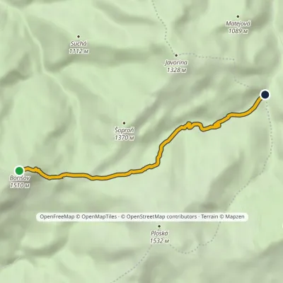 EasyOne-dayMarkedMočidlo BorišovElevation profile868–1 510 m4.6 kmascent 6 m≈ 1 h walkingunder 1 km from Ploská and Borišov: meadows and mountain hut in the heart of Veľká Fatra
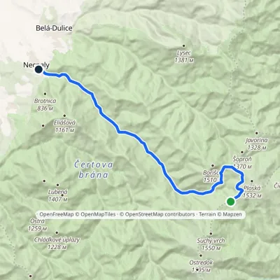 ModerateOne-dayMarkedNecpaly ChyžkyElevation profile500–1 341 m17.1 kmascent 72 m≈ 4.5 h walkingunder 1 km from Ploská and Borišov: meadows and mountain hut in the heart of Veľká Fatra
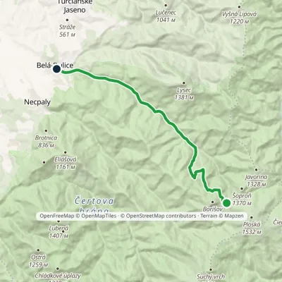 ModerateOne-dayMarkedChata pod Borišovom, junction BeláElevation profile494–1 278 m14.1 kmascent 15 m≈ 3.5 h walkingunder 1 km from Ploská and Borišov: meadows and mountain hut in the heart of Veľká Fatra
Nearby attractions
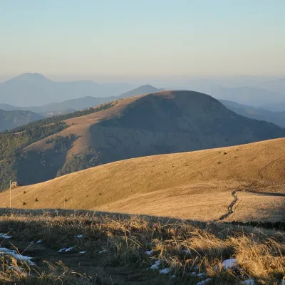 PeakBorišovLiptovské Revúcealtitude 1 510 munder 1 km from Ploská and Borišov: meadows and mountain hut in the heart of Veľká FatraBorišov is a 1,510 m summit in the central part of the Greater Fatra (Veľká Fatra) in Slovakia, in its highest section, the Hôľna Fatra.
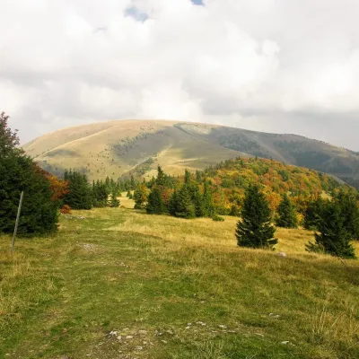 PeakPloskáLiptovské Revúcealtitude 1 532 m1.6 km from Ploská and Borišov: meadows and mountain hut in the heart of Veľká Fatra1 trail to the topPloská is a 1,532 m summit on the main ridge of the Greater Fatra (Veľká Fatra) in Slovakia and one of the highest peaks of the range.
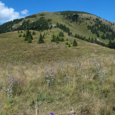 Mountain meadowThe hole of Rakytov – the grassy Liptov ridge of Veľká FatraLiptovské Revúcealtitude 1 567 m6.4 km from Ploská and Borišov: meadows and mountain hut in the heart of Veľká FatraRakytov (1,567 m) is the highest summit of the Liptov branch of the main ridge of Veľká Fatra in Slovakia, in the Hôľna Fatra subunit, whose name comes from "hole" –...
Craft nearby
All craft places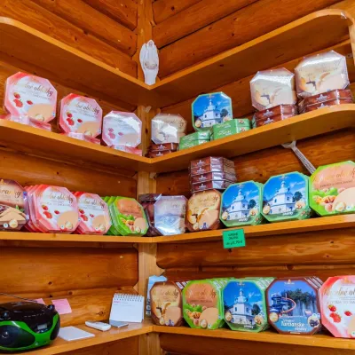 Cheese dairies & pasturesTuriec bryndza dairy, Turčianske Teplice: bryndza since 1917Turčianske Teplice19 km from Ploská and Borišov: meadows and mountain hut in the heart of Veľká FatraMore than a hundred years of Turiec bryndza Turiec is a wide basin between the ridges of the Veľká and Malá Fatra, a land of pastures and old sheep farming.
 Craft beer & breweriesURSUS craft brewery, Čutkovská valleyRužomberok19 km from Ploská and Borišov: meadows and mountain hut in the heart of Veľká FatraURSUS craft brewery (Remeselný pivovar URSUS) is the first brewery of the town of Ružomberok, tucked away in the picturesque Čutkovská valley in lower Liptov.
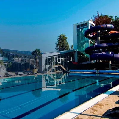 Water parks & thermal poolsSpa & Aquapark Turčianske TepliceTurčianske Teplice20 km from Ploská and Borišov: meadows and mountain hut in the heart of Veľká FatraTurčianske Teplice is one of Slovakia’s oldest spa towns. Its warm springs were first mentioned in 1281 in a deed of gift by King Ladislaus IV, and from 1533 they...
 Cheese dairies & pasturesSalaš Krajinka near RužomberokRužomberok21 km from Ploská and Borišov: meadows and mountain hut in the heart of Veľká FatraSalaš Krajinka is a genuine sheep farm on the edge of Ružomberok in lower Liptov. It was founded in 1983 to keep a thousand sheep, and the owners have deliberately...
 Craft shopsÚĽUV Banská Bystrica: folk-craft shop and craft schoolBanská Bystrica23 km from Ploská and Borišov: meadows and mountain hut in the heart of Veľká FatraÚĽUV (Ústredie ľudovej umeleckej výroby, the Centre for Folk Art Production) is a state institution that has looked after Slovak folk crafts since 1945: it keeps a...
 Craft beer & breweriesUrpiner brewery in Banská Bystrica: tour and beer from the tankBanská Bystrica26 km from Ploská and Borišov: meadows and mountain hut in the heart of Veľká FatraBanská Bystrica is the centre of Central Slovakia and grew rich on copper mining in the 14th–16th centuries.
