Kráľova studňa: meadow plateau and springs in Veľká Fatra
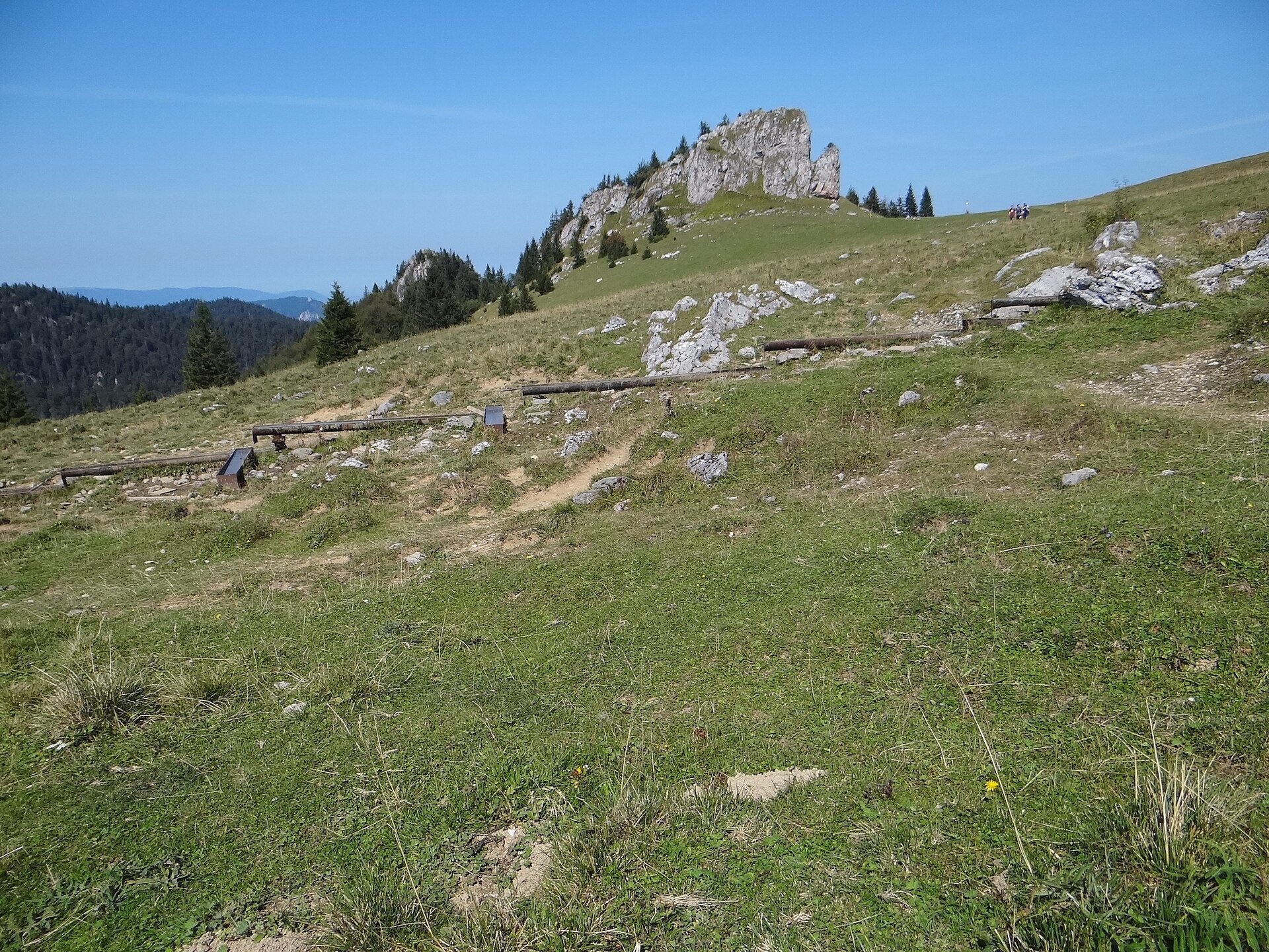
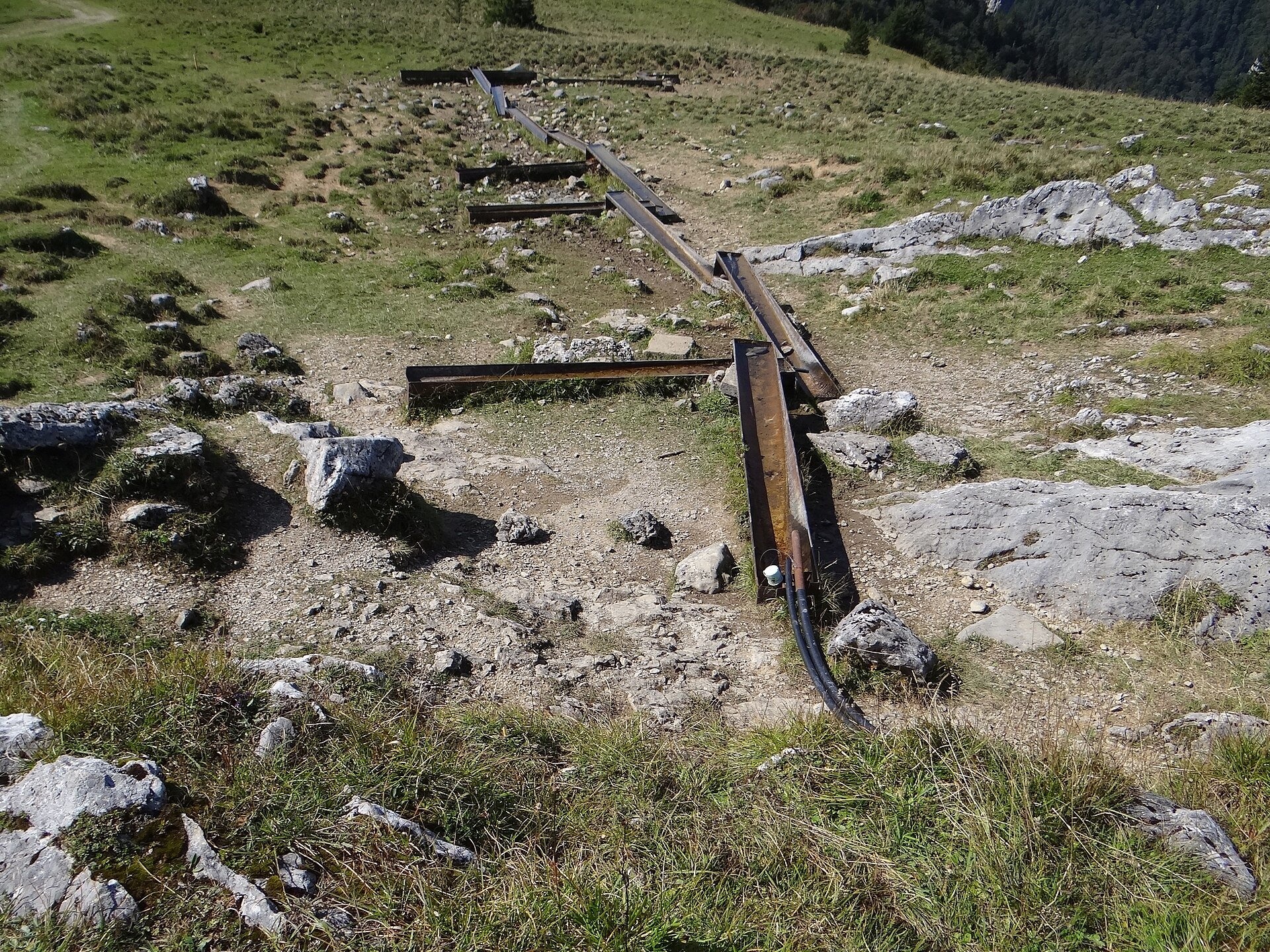
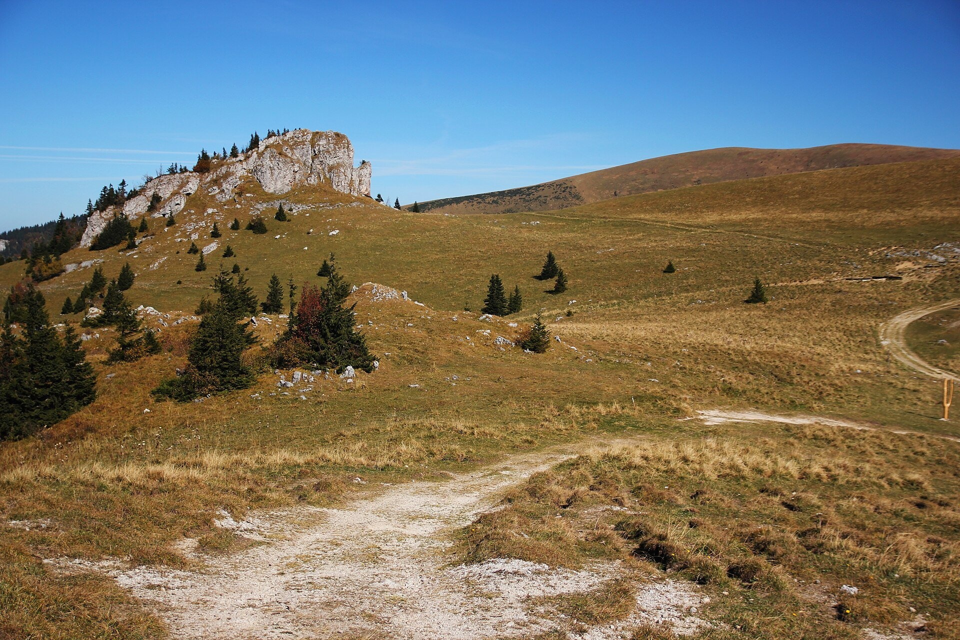
Kráľova studňa (literally the «King's Well») is a broad grassy plateau on the main ridge of Veľká Fatra, at the western edge of the Krížna massif. It takes its name from a group of several strong springs at about 1,365 m: the water gushes from beneath thick scree and runs into metal watering troughs, a reminder of the pastoral past of these hole meadows. Above the springs rises the limestone Kráľova skala (1,377 m), and the neighbouring hill, also known as Kráľova studňa, reaches 1,384 m. The whole area lies within Veľká Fatra National Park.
Unlike the soft marl slopes of Krížna, limestone comes to the surface here, so the plateau is particularly rich in lime-loving plants. On the meadows west of the springs grow an early form of the feathered pink, common columbine and heart-leaved globularia, and on the rocks bear's-ear primrose and Clusius's gentian. Lower down, on the level ground below the southern slopes and surrounded by large meadows, stands the Kráľova Studňa mountain hotel: the first wooden tourist shelter was built here in 1927 by the Banská Bystrica branch of the Czechoslovak Tourist Club, a new hut followed in 1937; German troops burned both on 1 November 1944, and the present stone building dates from after the war.
What to see and do
- The Kráľova studňa springs — the most valuable spot on a ridge walk: you can fill your bottle (as with any mountain spring, at your own discretion) and rest on the grass.
- Kráľova skala — a picturesque limestone crag among the meadows, one of the best-known images of Veľká Fatra.
- Memorials. Near the springs and on the ridge above the hotel are the Symbolic Cemetery of the Victims of Veľká Fatra, a monument to the heroes of the 1944 Slovak National Uprising and a partisan dugout.
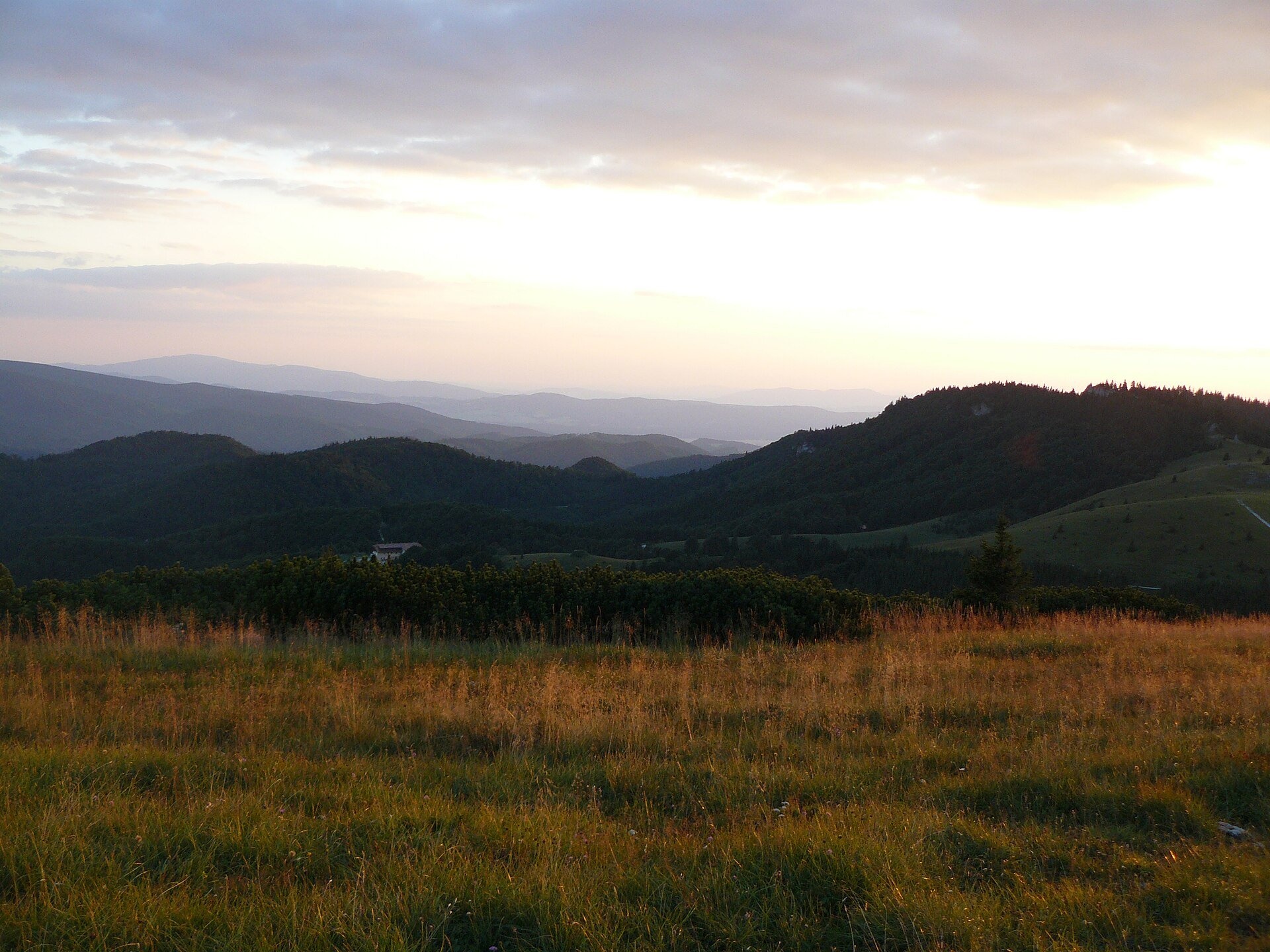
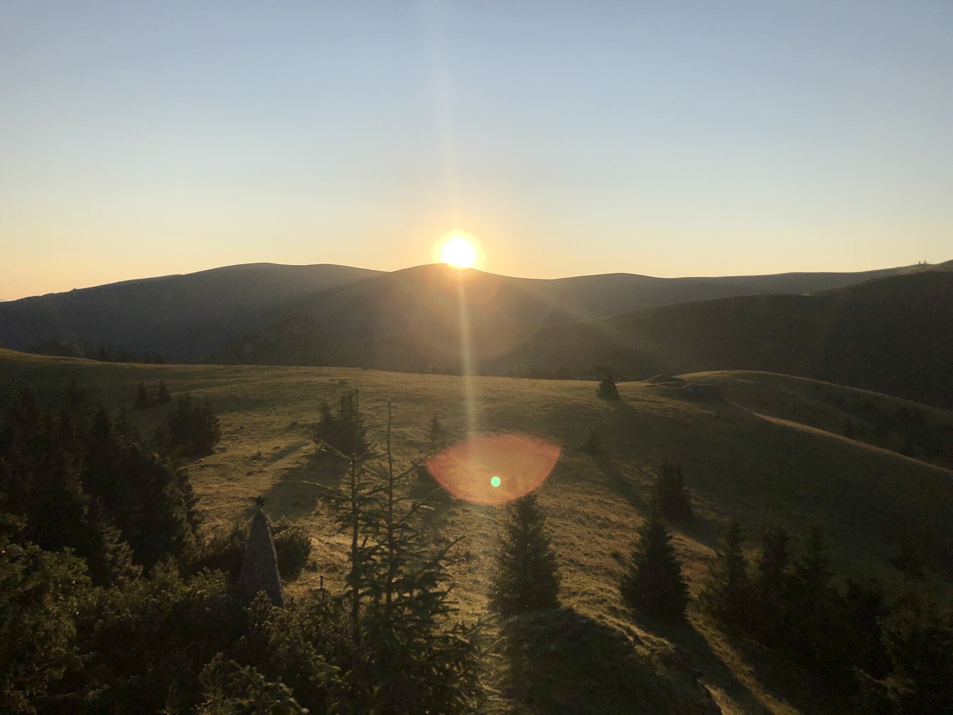
- Views. The open plateau looks over the Turiec and Harmanec valleys and the neighbouring ridges; sunrises and sunsets are especially fine here in summer.
- Gateway to the ridge. From here the red Path of the Heroes of the SNP reaches Krížna in 50 minutes to 1 hour and continues to the highest meadows of the range.
Getting there
This is the most accessible high meadow of Veľká Fatra, although some walking cannot be avoided. By car, drive up the Bystrická dolina valley from Dolný Harmanec to the Panská koliba car park; above it only hotel guests may use the road. From Dolný Harmanec railway station the yellow trail Dolný Harmanec – Kráľova Studňa hotel continues to the springs: about 5.8 km and roughly 3 hours uphill by the signposts (1 h 55 min down). From Turecká a green trail climbs up, and from Blatnica in the Turiec region there is the green trail through the Blatnická dolina valley (14 km, about 4 h 40 min) and the yellow trail through the Gader Valley. From the Malý Šturec pass along the ridge of the Path of the Heroes of the SNP it is 11.4 km, about 3 h 20 min. The walk across the plateau from the hotel to the springs is short and easy, so families with children come here too, but the climb to the ridge is a proper mountain hike (times from signpost data as quoted by pl.wikipedia).
Season and safety
The best time is May to October: in early summer the meadows and rock flora are in bloom, in autumn the grass turns russet. According to the Veľká Fatra NP administration, Veľká Fatra is one of the most avalanche-prone areas of Slovakia, so in winter go onto the open slopes only when there is no avalanche danger and follow the warnings of the Mountain Rescue Service (HZS, tel. 18 300). National park rules: walk only on marked trails, keep dogs on a lead, camping and bivouacking are prohibited. Information as of October 2026.
Nearby
Right next door is the Krížna massif with the meadows of the main ridge, and further north the meadows of Ploská and Borišov. In the Harmanec valley is Harmanecká Cave, and on the Turiec side Blatnica Castle and the Gader Valley.
Official website: npvelkafatra.sk
Photos: Jerzy Opioła, CC BY-SA 4.0, Wikimedia Commons; Mineralysk, CC BY-SA 4.0, Wikimedia Commons; Frantisek Malina, CC BY-SA 4.0, Wikimedia Commons; Pe3kZA, CC BY-SA 3.0, Wikimedia Commons; I would appreciate being notified if you use my work outside Wikimedia. More..., CC BY-SA 4.0, Wikimedia Commons.
Getting there from Ukraine
Border crossings
- Uzhhorod – Vyšné Nemecké — road, 24/7
- Malyi Bereznyi – Ubľa — road, 24/7 For cars and buses; pedestrians not confirmed by the Ukrainian border service, lorries up to 3.5 t.
- Mali Selmentsi – Veľké Slemence (pedestrian) — pedestrian, 09:00–21:00 Kyiv time Pedestrians and cyclists only; inconvenient for the Tatras without onward transport.
- Chop – Čierna nad Tisou (rail) — rail, 24/7
By car
From Uzhhorod ≈275 km, ≈3 h 35 min without queues: Uzhhorod – Vyšné Nemecké → I/19 to Košice → D1 motorway via Prešov, Poprad and Liptovský Mikuláš to Ružomberok (≈270 km, ≈3 h 25 min from the border). From Lviv it is faster through Poland: M-10 → Krakovets – Korczowa → A4 to Kraków → S7/DK7 to the Chyżne – Trstená border → R3 and I/59 via Dolný Kubín to Ružomberok: ≈482 km, ≈6 h 15 min (via Uzhok and Ubľa ≈500 km, ≈7 h 30 min). The D1 requires an e-vignette (eznamka.sk).
Checked 23.10.2026; border crossing hours and timetables change — check before you travel.
Location on the map
Water and shelter nearby
- Kráľová studňa Spring0 m · Not verified · 1 338 m
- Bystrice Spring130 m · Not verified · 1 344 m
- Spring below Kráľova skala (east slope)630 m · Not verified · 1 171 m
- Hut above Kráľová studňa790 m · Not verified · 1 368 m
- Smrekovica960 m · Not verified · 1 322 m
- Spring below Smrekov1.1 km · Has water · 1 257 m
- Spring below Kráľova skala (north slope)1.4 km · Not verified · 927 m
- Spring below Dlhý grúň (west slope)1.5 km · Not verified · 1 184 m
- Krížna, 1 326 m2.9 km · Not verified · 1 326 m
- Spring below Krížna (east slope), 1 297 m2.9 km · Not verified · 1 297 m
- Spring below Krížna (east slope), 1 302 m2.9 km · Not verified · 1 302 m
Comments
Trails nearby
All trails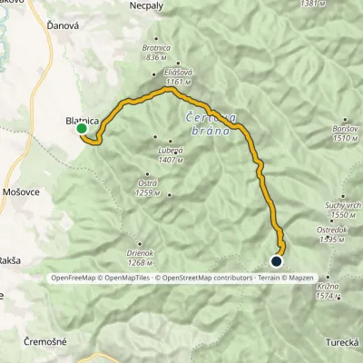 ModerateTwo-dayMarkedBlatnica, Municipal Office Kráľova studňa, spring (yellow trail)Elevation profile496–1 379 m17.3 kmascent 911 m≈ 6 h walkingunder 1 km from Kráľova studňa: meadow plateau and springs in Veľká Fatra
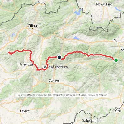 HardMulti-dayMarkedHorná Poruba, U Brdárov Pred ČuntavouElevation profile309–2 004 m241.6 kmascent 15 694 munder 1 km from Kráľova studňa: meadow plateau and springs in Veľká Fatra
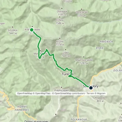 EasyOne-dayMarkedKráľova studňa, spring Staré Hory, near chapelElevation profile482–1 357 m10.5 kmascent 36 m≈ 2.5 h walkingunder 1 km from Kráľova studňa: meadow plateau and springs in Veľká Fatra
Nearby attractions
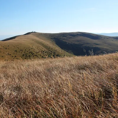 Mountain meadowKrížna and the hole meadows of Veľká Fatraaltitude 1 574 m2.4 km from Kráľova studňa: meadow plateau and springs in Veľká FatraKrížna (1,574 m) is a broad grassy massif in the central part of Veľká Fatra in Slovakia, the third-highest summit of these mountains after Ostredok and Frčkov.
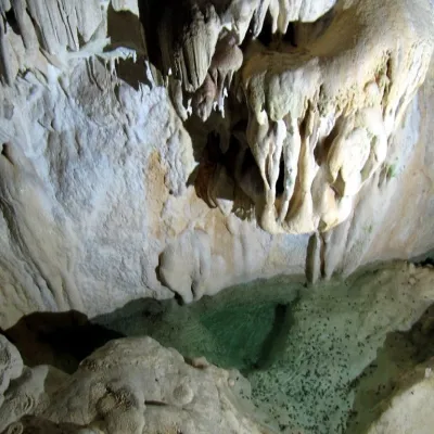 NatureHarmanecká Cave7.8 km from Kráľova studňa: meadow plateau and springs in Veľká FatraThe “White Cave” above the Harmanec valley Harmanecká Cave (Harmanecká jaskyňa) lies in the valley of the Harmanec stream north-west of Banská Bystrica, in the...
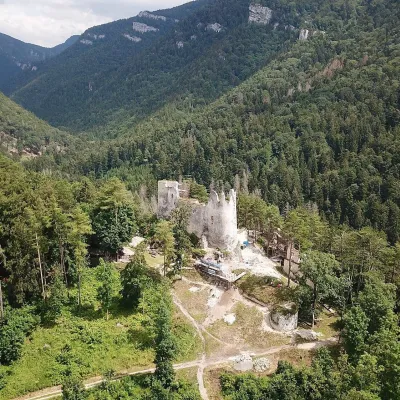 CastleBlatnica Castle and the Gader Valley10 km from Kráľova studňa: meadow plateau and springs in Veľká FatraBlatnica Castle (Blatnický hrad) is a medieval ruin on the low but sharp limestone ridge of Plešovica (658 m), which separates the Gader valley (Gaderská dolina) from...
Craft nearby
All craft places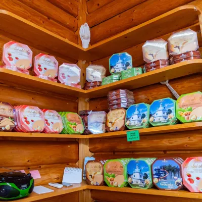 Cheese dairies & pasturesTuriec bryndza dairy, Turčianske Teplice: bryndza since 191714 km from Kráľova studňa: meadow plateau and springs in Veľká FatraMore than a hundred years of Turiec bryndza Turiec is a wide basin between the ridges of the Veľká and Malá Fatra, a land of pastures and old sheep farming.
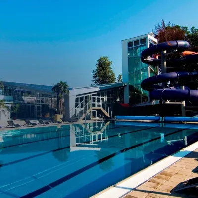 Water parks & thermal poolsSpa & Aquapark Turčianske Teplice14 km from Kráľova studňa: meadow plateau and springs in Veľká FatraTurčianske Teplice is one of Slovakia’s oldest spa towns. Its warm springs were first mentioned in 1281 in a deed of gift by King Ladislaus IV, and from 1533 they...
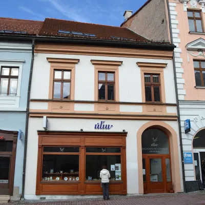 Craft shopsÚĽUV Banská Bystrica: folk-craft shop and craft school18 km from Kráľova studňa: meadow plateau and springs in Veľká FatraÚĽUV (Ústredie ľudovej umeleckej výroby, the Centre for Folk Art Production) is a state institution that has looked after Slovak folk crafts since 1945: it keeps a...
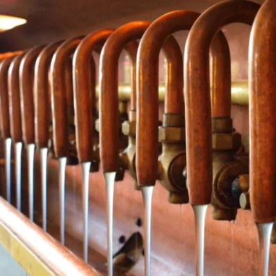 Craft beer & breweriesUrpiner brewery in Banská Bystrica: tour and beer from the tank21 km from Kráľova studňa: meadow plateau and springs in Veľká FatraBanská Bystrica is the centre of Central Slovakia and grew rich on copper mining in the 14th–16th centuries.
 Craft producersKremnica gingerbread: the Haurík family bakery since 192222 km from Kráľova studňa: meadow plateau and springs in Veľká FatraKremnica is an old mining town in the Kremnica Mountains where coins have been struck for more than six centuries.
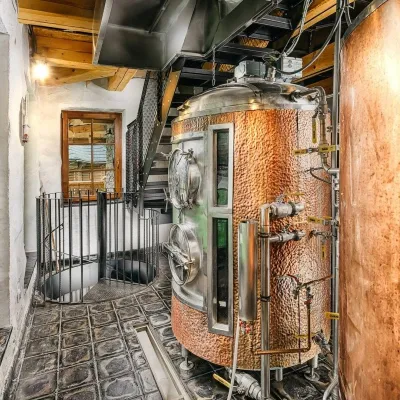 Craft beer & breweriesURSUS craft brewery, Čutkovská valley27 km from Kráľova studňa: meadow plateau and springs in Veľká FatraURSUS craft brewery (Remeselný pivovar URSUS) is the first brewery of the town of Ružomberok, tucked away in the picturesque Čutkovská valley in lower Liptov.
