Krížna and the hole meadows of Veľká Fatra
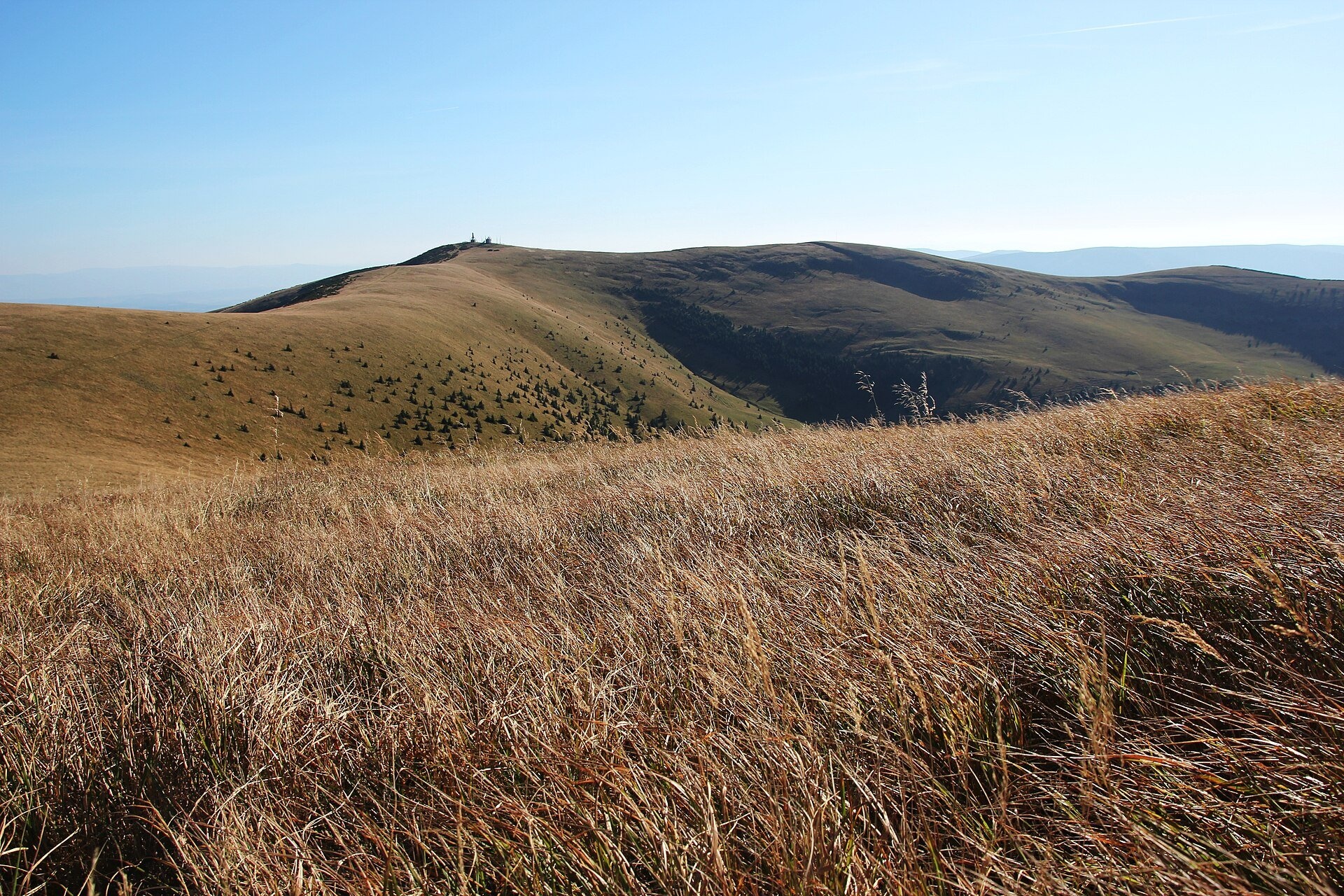
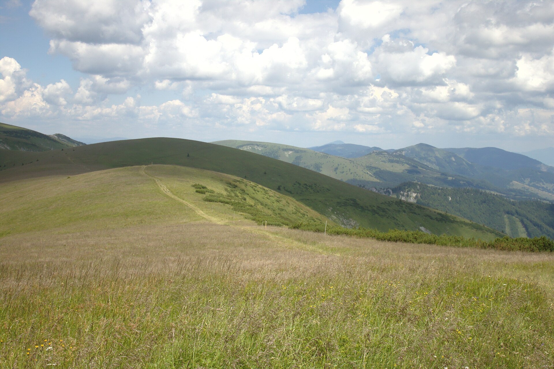
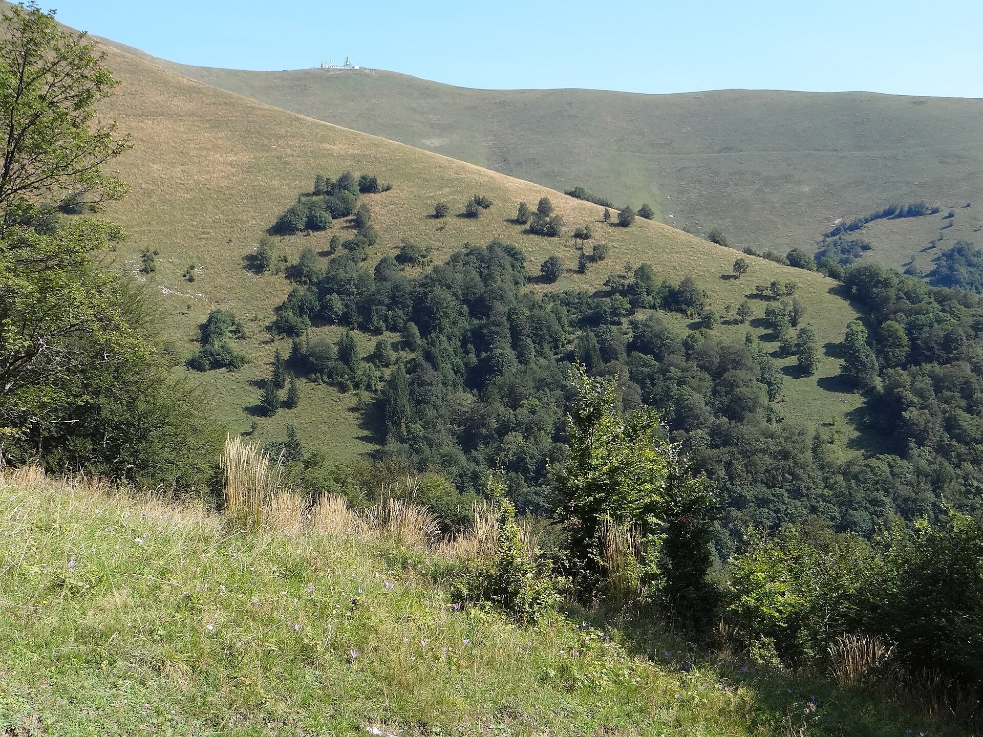
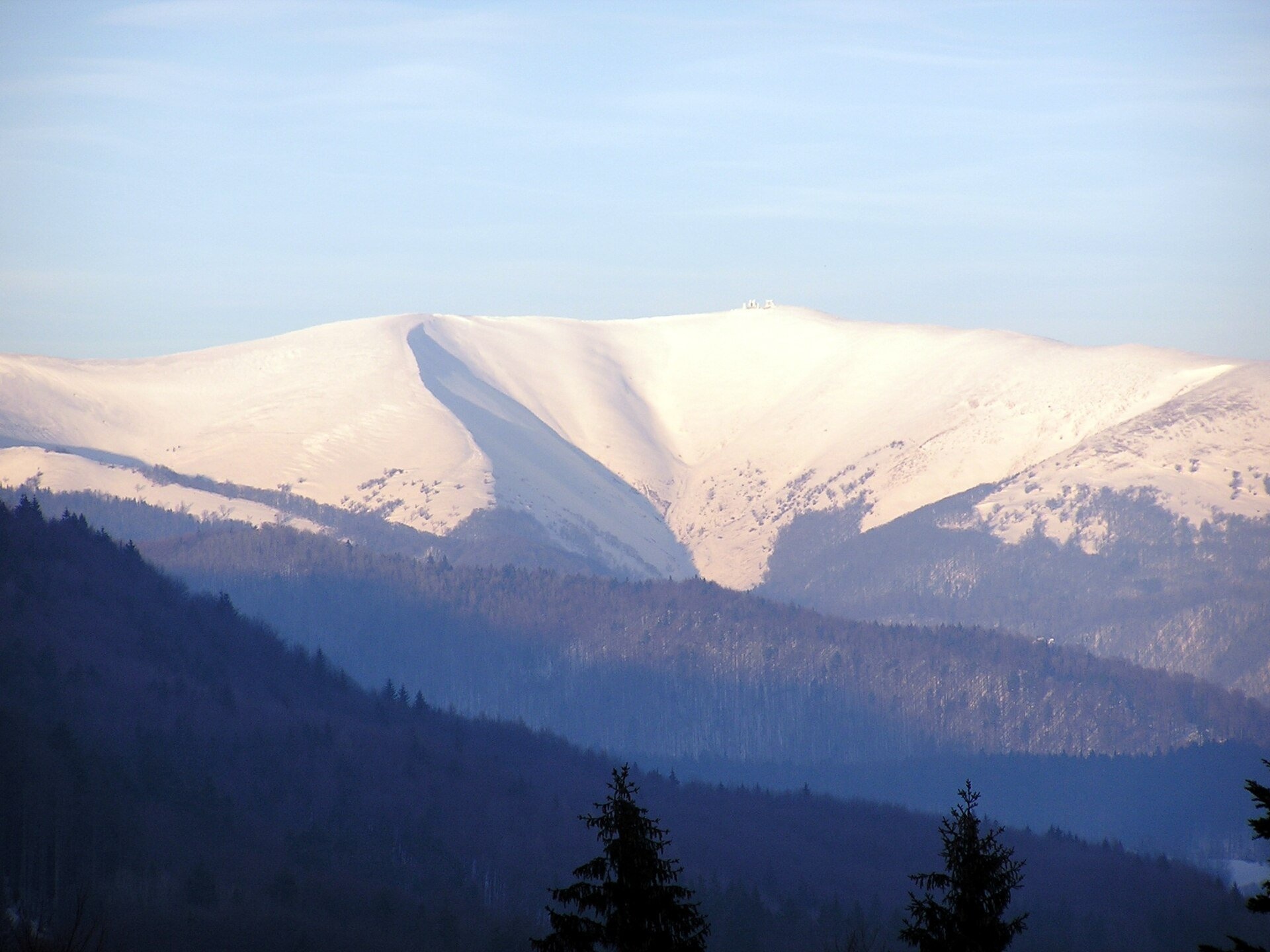
Krížna (1,574 m) is a broad grassy massif in the central part of Veľká Fatra in Slovakia, the third-highest summit of these mountains after Ostredok and Frčkov. It belongs to the Hôľna Fatra subunit, named after the hole — the Slovak word for treeless ridge pastures, similar to the polonyny of the Ukrainian Carpathians. The massif is completely treeless: soft, rounded slopes are covered with mountain meadows, only a few patches of dwarf pine survive on the southern spurs (Malá Krížna, Líška), and fragments of primeval fir-beech forest remain in the deep valley heads. Krížna stands on the main watershed between the Váh and the Hron, where the districts of Martin, Ružomberok and Banská Bystrica meet, and lies within Veľká Fatra National Park.
The gentle relief is a matter of geology: the massif is built of relatively soft marls. Geologists even named a large tectonic unit of the Western Carpathians after this mountain — the Krížna nappe (Fatric unit). According to the national park, the ridge pastures of Veľká Fatra date back to the Wallachian colonisation of the 15th–17th centuries, when shepherds arrived with their flocks; people also noticeably lowered the upper tree line. The summit itself is occupied by a fenced military communications facility with antennas, so visitors enjoy the view a little lower down, where panorama boards have been installed.
What to see and do
- All-round panorama. From Krížna you can see Malá Fatra, the Choč Mountains, the Western and Low Tatras, Poľana, the Štiavnica Mountains and Vtáčnik, and in good visibility from the Polish border in the north to Hungary in the south.
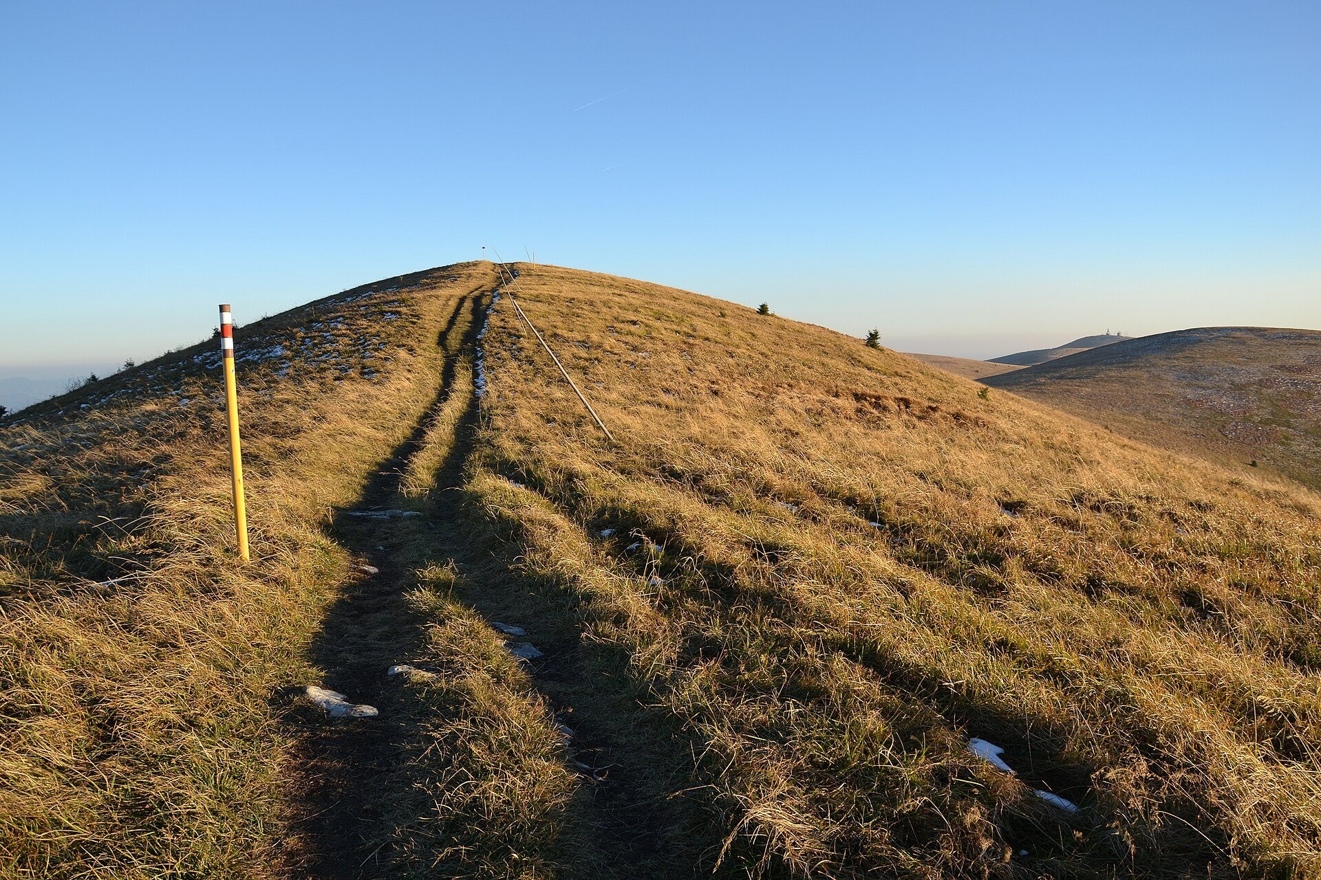
- A crossroads of trails. The two main routes of the range meet here — the Path of the Heroes of the SNP (Cesta hrdinov SNP) and the Veľkofatranská magistrála; a rare place where three red-marked trails cross on one summit.
- Along the ridge to the highest meadows. To the north, the magistrála follows an open crest over Frčkov to Ostredok, the highest peak of Veľká Fatra (1,596 m), about 1 h 20 min one way according to the signposts.
- Memorials. Just below the summit on the north-western side there is a small monument with a broken propeller, commemorating the L-200 Morava light aircraft that crashed here in fog on 18 August 1961; all four people on board died.
- Best time — summer, when the meadows are green and in flower, and September–October, when the grass turns russet.
Getting there
Krížna is the goal of a real mountain hike; there is no road for cars. The easiest ascent is the red Path of the Heroes of the SNP from the Kráľova Studňa mountain hotel via the Kráľova studňa spring and Veľký Rigeľ: about 4 km and 50 minutes. A road runs up the Bystrická dolina valley from Dolný Harmanec towards the hotel, but ordinary cars may only go as far as the lower Panská koliba car park; from there you walk. From the valleys the climb takes 3–3.5 hours: the blue trail from Staré Hory via Majerova skala and Líška — 7.7 km, about 3 h 35 min; from Turecká via Salašky and Líška — about 2 h 55 min; from Vyšná Revúca (Liptovské Revúce) via Rybovské sedlo — about 3 h 20 min (signpost data as quoted by pl.wikipedia). Some car parks at trailheads such as Blatnica, Necpaly, Liptovské Revúce and Donovaly charge 1–5 € per day.
Season and safety
The ridge is fully exposed: wind, fog and thunderstorms are dangerous here and there is nowhere to shelter. According to the Veľká Fatra NP administration, Veľká Fatra is one of the most avalanche-prone areas of Slovakia, especially around Ploská, Krížna and Ostredok; in 1924 an avalanche from the Krížna massif ran about 4 km and buried the upper part of the village of Rybô, killing 18 people, 15 of them children. In winter, go up to the ridge only when there is no avalanche danger and follow the warnings of the Mountain Rescue Service (HZS, tel. 18 300). National park rules (decree of the Žilina regional environmental office, 2005): walk only on marked trails, keep dogs on a lead, camping and bivouacking are not allowed — plan a hut or hotel for the night. Information as of October 2026.
Nearby
To the west, 50 minutes along the ridge, lies the plateau and spring of Kráľova studňa; to the north, beyond Ostredok, the meadows of Ploská and Borišov with their hut. In the valleys below the massif are Harmanecká Cave and Blatnica Castle and the Gader Valley.
Official website: npvelkafatra.sk
Photos: Pe3kZA, CC BY-SA 3.0, Wikimedia Commons; I would appreciate being notified if you use my work outside Wikimedia. More..., CC BY-SA 4.0, Wikimedia Commons; Pudelek, CC BY-SA 4.0, Wikimedia Commons; Jerzy Opioła, CC BY-SA 4.0, Wikimedia Commons; pepanos, CC BY 3.0, Wikimedia Commons.
Getting there from Ukraine
Border crossings
- Uzhhorod – Vyšné Nemecké — road, 24/7
- Malyi Bereznyi – Ubľa — road, 24/7 For cars and buses; pedestrians not confirmed by the Ukrainian border service, lorries up to 3.5 t.
- Mali Selmentsi – Veľké Slemence (pedestrian) — pedestrian, 09:00–21:00 Kyiv time Pedestrians and cyclists only; inconvenient for the Tatras without onward transport.
- Chop – Čierna nad Tisou (rail) — rail, 24/7
By car
From Uzhhorod ≈275 km, ≈3 h 35 min without queues: Uzhhorod – Vyšné Nemecké → I/19 to Košice → D1 motorway via Prešov, Poprad and Liptovský Mikuláš to Ružomberok (≈270 km, ≈3 h 25 min from the border). From Lviv it is faster through Poland: M-10 → Krakovets – Korczowa → A4 to Kraków → S7/DK7 to the Chyżne – Trstená border → R3 and I/59 via Dolný Kubín to Ružomberok: ≈482 km, ≈6 h 15 min (via Uzhok and Ubľa ≈500 km, ≈7 h 30 min). The D1 requires an e-vignette (eznamka.sk).
Checked 23.10.2026; border crossing hours and timetables change — check before you travel.
Location on the map
Water and shelter nearby
- Krížna, 1 326 m510 m · Not verified · 1 326 m
- Spring below Krížna (east slope), 1 302 m560 m · Not verified · 1 302 m
- Spring below Krížna (east slope), 1 297 m570 m · Not verified · 1 297 m
- Spring below Krížna (east slope), 1 350 m740 m · Not verified · 1 350 m
- Spring below Krížna (east slope), 1 294 m770 m · Not verified · 1 294 m
- Spring below Krížna (east slope), 1 278 m950 m · Not verified · 1 278 m
- Krížna, 1 207 m950 m · Not verified · 1 207 m
- Spring below Dlhý grúň (west slope)1.2 km · Not verified · 1 184 m
- Spring below Dlhý grúň (south-east slope)1.3 km · Not verified · 1 150 m
- Koliba pod Repišťom Hut1.7 km · Not verified · 1 032 m
- Captured spring below Dlhý grúň1.8 km · Not verified · 1 323 m
- Spring below Frčkov (east slope), 1 318 m1.9 km · Not verified · 1 318 m
- Spring below Frčkov (east slope), 1 312 m1.9 km · Not verified · 1 312 m
- Spring below Kráľova skala (east slope)2 km · Not verified · 1 171 m
- Spring below Repište (north-west slope)2.1 km · Not verified · 1 161 m
- Revúca River Spring2.2 km · Not verified · 1 321 m
Comments
Trails nearby
All trails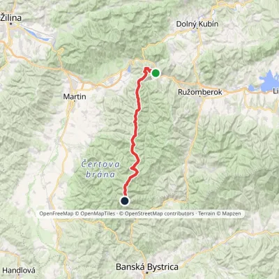 HardMulti-dayMarkedVeľkofatranská magistrálaElevation profile439–1 595 m42 kmascent 3 071 munder 1 km from Krížna and the hole meadows of Veľká Fatra
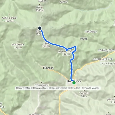 ModerateOne-dayMarkedStaré hory, by the chapel KrížnaElevation profile482–1 574 m7.3 kmascent 1 139 m≈ 4 h walkingunder 1 km from Krížna and the hole meadows of Veľká Fatra
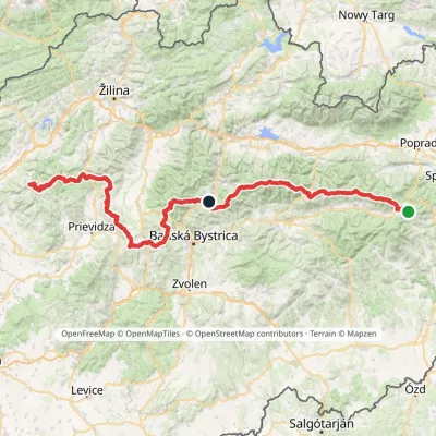 HardMulti-dayMarkedHorná Poruba, U Brdárov Pred ČuntavouElevation profile309–2 004 m241.6 kmascent 15 694 munder 1 km from Krížna and the hole meadows of Veľká Fatra
Nearby attractions
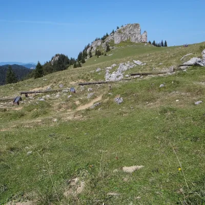 Mountain meadowKráľova studňa: meadow plateau and springs in Veľká FatraDolný Harmanecaltitude 1 365 m2.4 km from Krížna and the hole meadows of Veľká FatraKráľova studňa (literally the «King's Well») is a broad grassy plateau on the main ridge of Veľká Fatra, at the western edge of the Krížna massif.
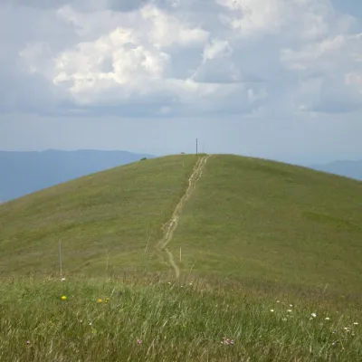 PeakOstredokTureckáaltitude 1 596 m2.6 km from Krížna and the hole meadows of Veľká FatraOstredok is the highest peak of the Greater Fatra (Veľká Fatra) at 1,596 m. It lies in the central part of the range, in the Hôľna Fatra, above the village of...
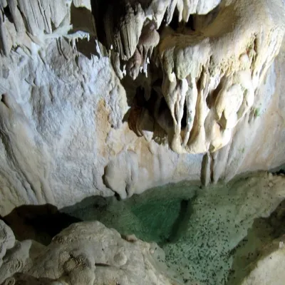 NatureHarmanecká CaveDolný Harmanec7.5 km from Krížna and the hole meadows of Veľká FatraThe “White Cave” above the Harmanec valley Harmanecká Cave (Harmanecká jaskyňa) lies in the valley of the Harmanec stream north-west of Banská Bystrica, in the...
Craft nearby
All craft places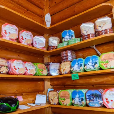 Cheese dairies & pasturesTuriec bryndza dairy, Turčianske Teplice: bryndza since 1917Turčianske Teplice16 km from Krížna and the hole meadows of Veľká FatraMore than a hundred years of Turiec bryndza Turiec is a wide basin between the ridges of the Veľká and Malá Fatra, a land of pastures and old sheep farming.
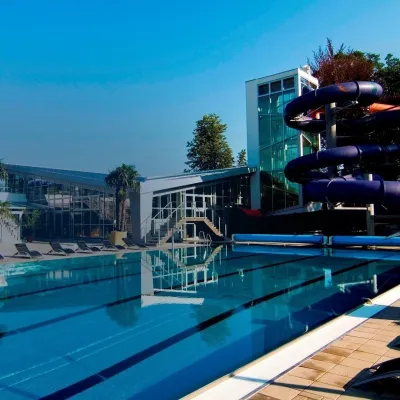 Water parks & thermal poolsSpa & Aquapark Turčianske TepliceTurčianske Teplice16 km from Krížna and the hole meadows of Veľká FatraTurčianske Teplice is one of Slovakia’s oldest spa towns. Its warm springs were first mentioned in 1281 in a deed of gift by King Ladislaus IV, and from 1533 they...
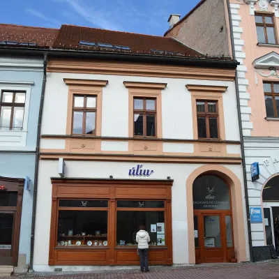 Craft shopsÚĽUV Banská Bystrica: folk-craft shop and craft schoolBanská Bystrica17 km from Krížna and the hole meadows of Veľká FatraÚĽUV (Ústredie ľudovej umeleckej výroby, the Centre for Folk Art Production) is a state institution that has looked after Slovak folk crafts since 1945: it keeps a...
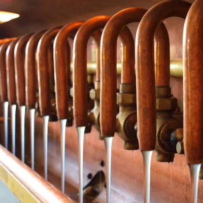 Craft beer & breweriesUrpiner brewery in Banská Bystrica: tour and beer from the tankBanská Bystrica19 km from Krížna and the hole meadows of Veľká FatraBanská Bystrica is the centre of Central Slovakia and grew rich on copper mining in the 14th–16th centuries.
 Craft producersKremnica gingerbread: the Haurík family bakery since 1922Kremnica23 km from Krížna and the hole meadows of Veľká FatraKremnica is an old mining town in the Kremnica Mountains where coins have been struck for more than six centuries.
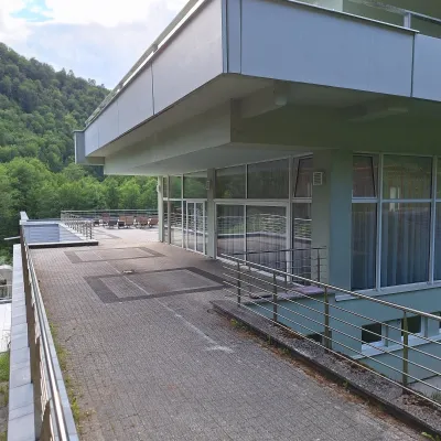 Water parks & thermal poolsBrusno Spa: mineral springs, treatments and Caracalla SpaBrusno26 km from Krížna and the hole meadows of Veľká FatraBrusno Spa (Kúpele Brusno) lies in the Hron valley (Horehronie), about 20 km north-east of Banská Bystrica, on the northern slopes of the Vepor massif in the Slovak...
