Frčkov
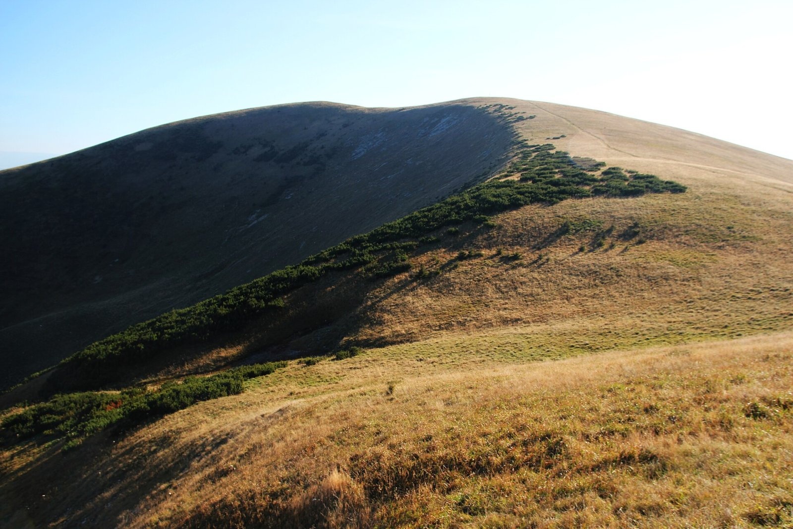
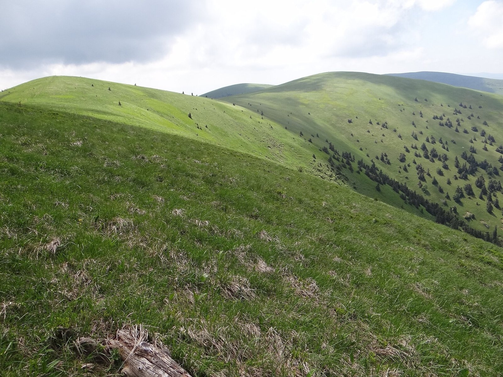
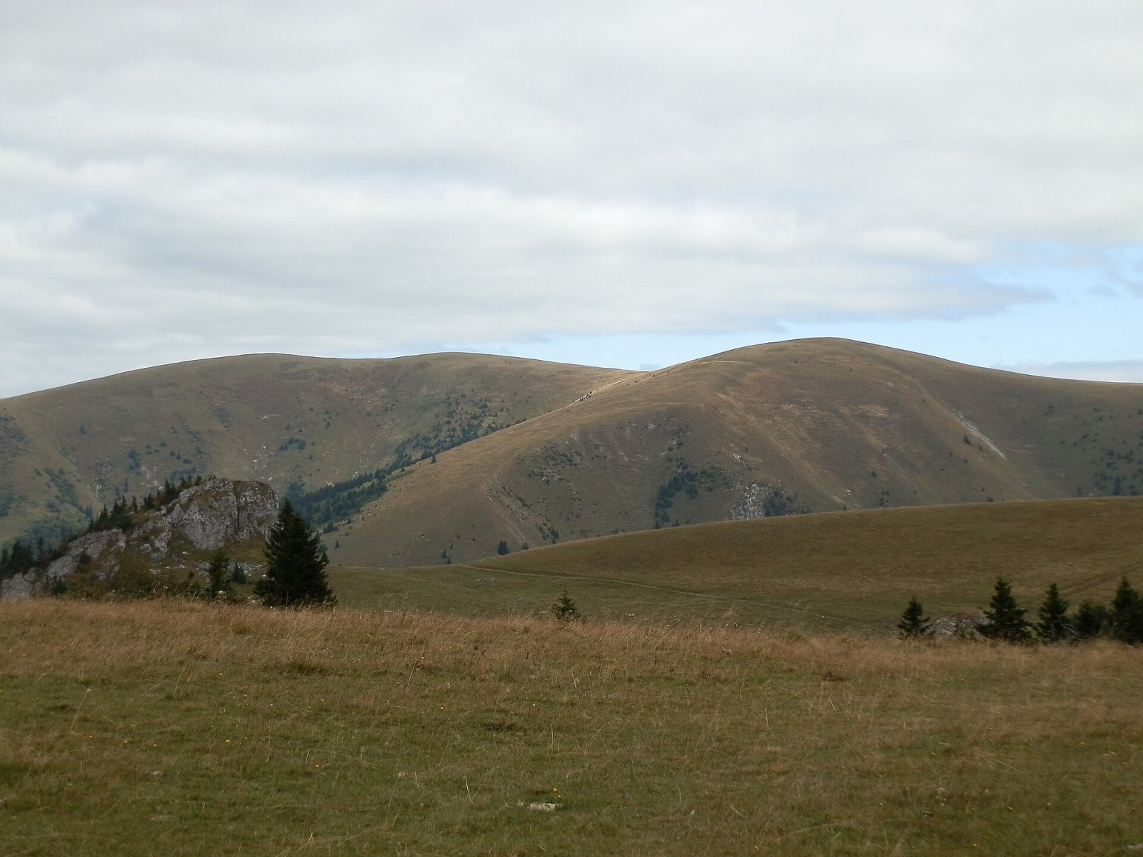
Frčkov is a 1585 m summit in the central part of the Greater Fatra (Veľká Fatra) in Slovakia, the second highest in the range after Ostredok. It belongs to the Hôľna Fatra subunit. The main ridge here carries the boundary of Martin and Ružomberok districts in the Žilina Region, and the lands of Blatnica and Liptovské Revúce meet on the summit. The nearest settlements as the crow flies are Turecká (about 5 km) and Staré Hory (6.6 km). The mountain lies in Veľká Fatra National Park.
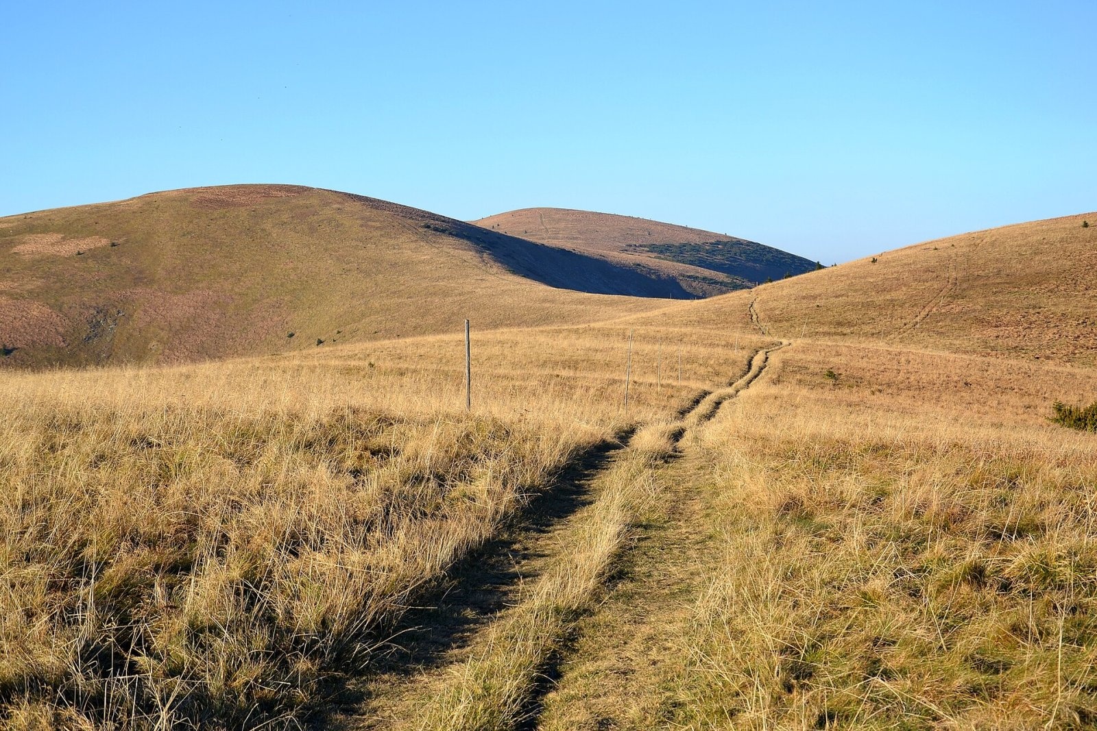
Frčkov is a rise on the main ridge between Krížna in the south and Ostredok in the north, about 1 km south of Ostredok; some maps also mark a top called Noštek between Frčkov and Krížna. This fairly level ridge section is collectively called Pustolovčia. Like its neighbours, Frčkov is built of relatively soft marls, so it has gentle shapes and is entirely covered by meadows. To the west it sends a massive, steep shoulder dividing the Veterné and Rovné valleys – the highest levels of the Dedošova dolina; to the east it drops to the Klinčeky side valley of the Suchá dolina.
How to get there / routes
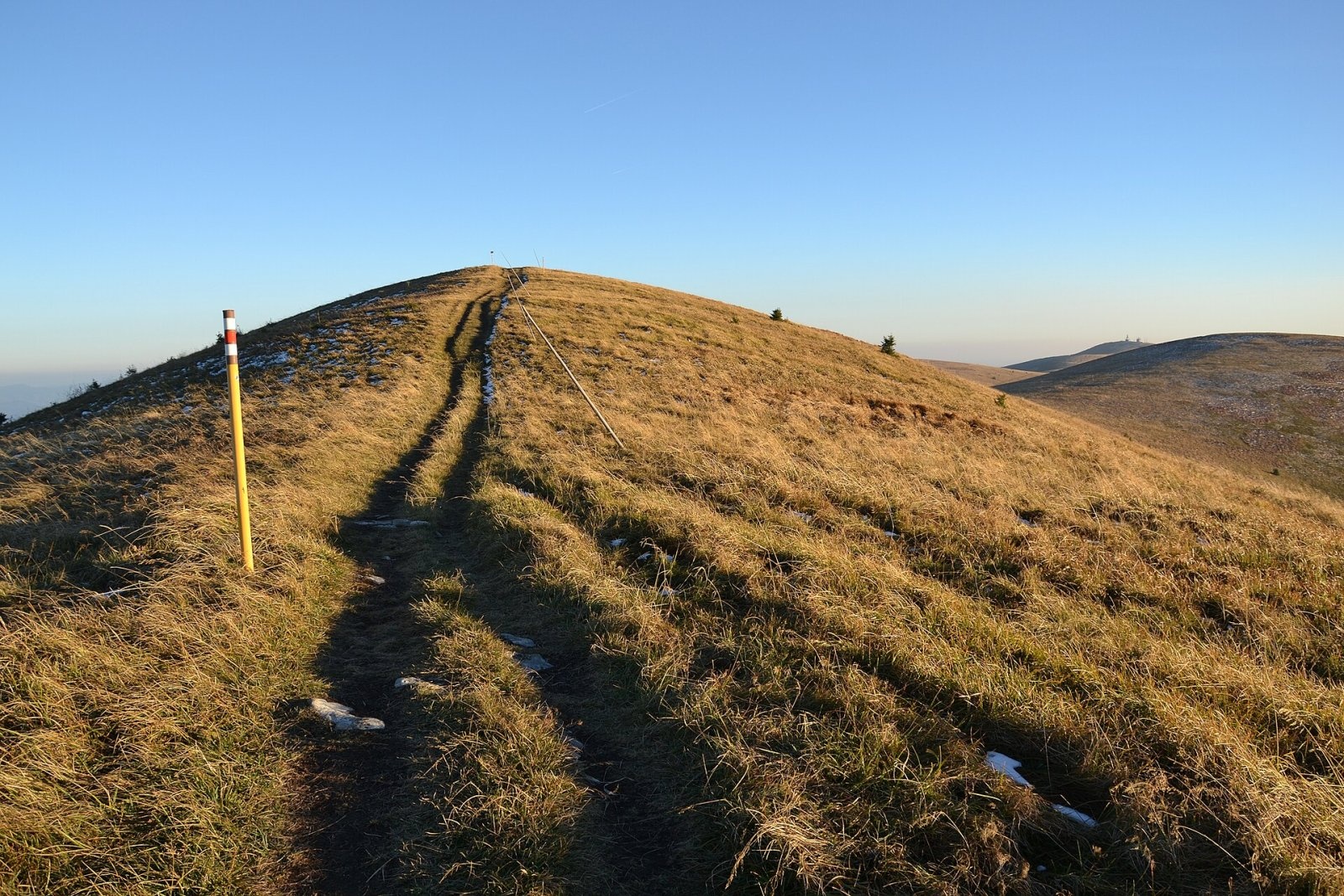
Only the red trail – the Veľká Fatra ridge trail (Veľkofatranská magistrála) – crosses the summit, so from the valleys you can reach it only via neighbouring peaks:
- From the north – from Ostredok.
- From the south – from Krížna.
Polish sources describe the whole ridge section from Chata pod Borišovom via Nad Studeným, Ploská, the Chyžky saddle, Koniarky, Suchý vrch, Ostredok, Frčkov and Noštek to Krížna: 9.9 km, 640 m of height difference, about 3 h 30 min (2 h 40 min in the opposite direction).
What you can see from the top
Grassy Frčkov, in the central and most attractive part of the range, is a popular viewpoint. North and south are partly blocked by its mighty neighbours, but thanks to its height you can see many ranges: besides the Greater Fatra peaks, the Lesser Fatra, parts of the High and Low Tatras, Poľana, Vtáčnik and even Lysá hora in Moravia.
Nature and history
Like the whole central ridge of the Greater Fatra, Frčkov is a treeless meadow on soft marls. Its slopes, falling into the heads of the Dedošova and Suchá valleys, are significant avalanche terrain. For hikers, as Polish authors note, the summit matters mainly as a landmark on the ridge route between Krížna and Ostredok.
Safety, season and rules
In Veľká Fatra National Park you may walk only on marked trails. The broad treeless ridge is exposed to wind and storms, it is easy to lose your bearings in fog, and in winter the steep slopes are avalanche-prone – check the avalanche forecast. Slovak Mountain Rescue Service (HZS): 18 300 (+421 18 300) or 112.
Interesting facts
- Frčkov is only a few metres lower than Ostredok, the highest peak of the Greater Fatra.
- The ridge between Krížna and Ostredok is called Pustolovčia.
Photos: Pe3kZA, CC BY-SA 3.0; Jerzy Opioła, CC BY-SA 4.0; Pudelek, CC BY-SA 4.0; Pudelek, CC BY-SA 4.0; Michal Jakubský, CC BY 3.0 — Wikimedia Commons.
Getting there from Ukraine
Border crossings
- Uzhhorod – Vyšné Nemecké — road, 24/7
- Malyi Bereznyi – Ubľa — road, 24/7 For cars and buses; pedestrians not confirmed by the Ukrainian border service, lorries up to 3.5 t.
- Mali Selmentsi – Veľké Slemence (pedestrian) — pedestrian, 09:00–21:00 Kyiv time Pedestrians and cyclists only; inconvenient for the Tatras without onward transport.
- Chop – Čierna nad Tisou (rail) — rail, 24/7
By car
From Uzhhorod ≈275 km, ≈3 h 35 min without queues: Uzhhorod – Vyšné Nemecké → I/19 to Košice → D1 motorway via Prešov, Poprad and Liptovský Mikuláš to Ružomberok (≈270 km, ≈3 h 25 min from the border). From Lviv it is faster through Poland: M-10 → Krakovets – Korczowa → A4 to Kraków → S7/DK7 to the Chyżne – Trstená border → R3 and I/59 via Dolný Kubín to Ružomberok: ≈482 km, ≈6 h 15 min (via Uzhok and Ubľa ≈500 km, ≈7 h 30 min). The D1 requires an e-vignette (eznamka.sk).
Checked 23.10.2026; border crossing hours and timetables change — check before you travel.
Location on the map
Water and shelter nearby
- Spring below Frčkov (east slope), 1 318 m640 m · Not verified · 1 318 m
- Spring below Frčkov (east slope), 1 312 m670 m · Not verified · 1 312 m
- Revúca River Spring770 m · Not verified · 1 321 m
- Spring below Dlhý grúň (west slope)1.2 km · Not verified · 1 184 m
- Lopušná Spring, 1 303 m1.4 km · Not verified · 1 303 m
- Captured spring below Dlhý grúň1.4 km · Not verified · 1 323 m
- Lopušná Spring, 1 412 m1.6 km · Not verified · 1 412 m
- Spring below Suchý vrch (south-west slope), 1 459 m1.6 km · Not verified · 1 459 m
- Spring below Suchý vrch (south-west slope), 1 476 m1.6 km · Not verified · 1 476 m
- Krížna, 1 207 m1.6 km · Not verified · 1 207 m
- Spring below Suchý vrch (south-west slope), 1 497 m1.6 km · Not verified · 1 497 m
- Spring below Suchý vrch (south-west slope), 1 494 m1.6 km · Not verified · 1 494 m
- Spring below Ostré brdo (north-west slope), 1 211 m1.6 km · Not verified · 1 211 m
- Spring below Krížna (east slope), 1 297 m1.7 km · Not verified · 1 297 m
- Spring below Ostré brdo (north-west slope), 1 194 m1.7 km · Not verified · 1 194 m
- Spring below Krížna (east slope), 1 302 m1.8 km · Not verified · 1 302 m
Comments
Trails via Frčkov
All 1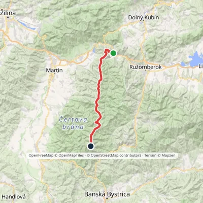
Nearby attractions
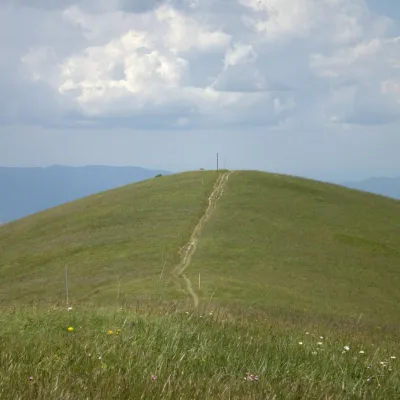 PeakOstredokTureckáaltitude 1 596 munder 1 km from Frčkov1 trail to the topOstredok is the highest peak of the Greater Fatra (Veľká Fatra) at 1,596 m. It lies in the central part of the range, in the Hôľna Fatra, above the village of...
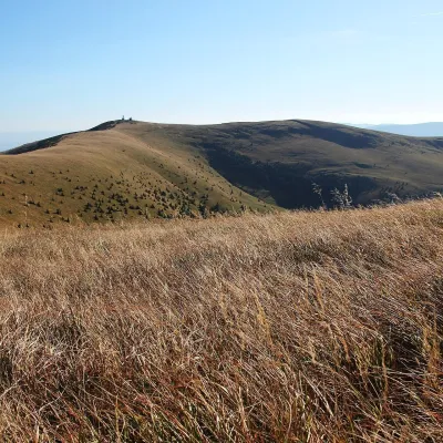 Mountain meadowKrížna and the hole meadows of Veľká FatraTureckáaltitude 1 574 m1.8 km from FrčkovKrížna (1,574 m) is a broad grassy massif in the central part of Veľká Fatra in Slovakia, the third-highest summit of these mountains after Ostredok and Frčkov.
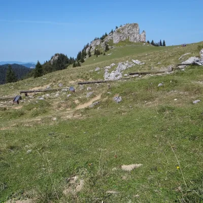 Mountain meadowKráľova studňa: meadow plateau and springs in Veľká FatraDolný Harmanecaltitude 1 365 m2.6 km from FrčkovKráľova studňa (literally the «King's Well») is a broad grassy plateau on the main ridge of Veľká Fatra, at the western edge of the Krížna massif.
Craft nearby
All craft places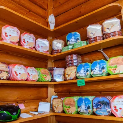 Cheese dairies & pasturesTuriec bryndza dairy, Turčianske Teplice: bryndza since 1917Turčianske Teplice16 km from FrčkovMore than a hundred years of Turiec bryndza Turiec is a wide basin between the ridges of the Veľká and Malá Fatra, a land of pastures and old sheep farming.
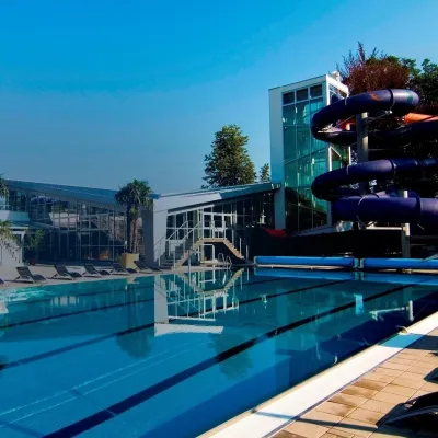 Water parks & thermal poolsSpa & Aquapark Turčianske TepliceTurčianske Teplice16 km from FrčkovTurčianske Teplice is one of Slovakia’s oldest spa towns. Its warm springs were first mentioned in 1281 in a deed of gift by King Ladislaus IV, and from 1533 they...
 Craft shopsÚĽUV Banská Bystrica: folk-craft shop and craft schoolBanská Bystrica18 km from FrčkovÚĽUV (Ústredie ľudovej umeleckej výroby, the Centre for Folk Art Production) is a state institution that has looked after Slovak folk crafts since 1945: it keeps a...
 Craft beer & breweriesUrpiner brewery in Banská Bystrica: tour and beer from the tankBanská Bystrica21 km from FrčkovBanská Bystrica is the centre of Central Slovakia and grew rich on copper mining in the 14th–16th centuries.
 Craft producersKremnica gingerbread: the Haurík family bakery since 1922Kremnica24 km from FrčkovKremnica is an old mining town in the Kremnica Mountains where coins have been struck for more than six centuries.
 Craft beer & breweriesURSUS craft brewery, Čutkovská valleyRužomberok24 km from FrčkovURSUS craft brewery (Remeselný pivovar URSUS) is the first brewery of the town of Ružomberok, tucked away in the picturesque Čutkovská valley in lower Liptov.
