Drienok
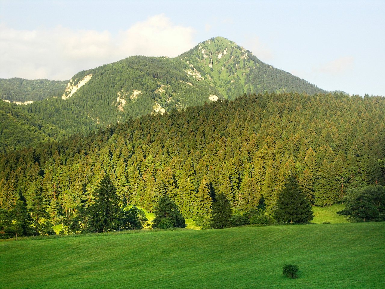
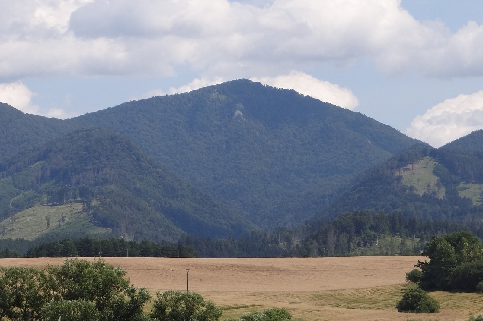
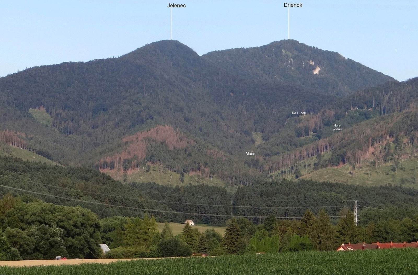
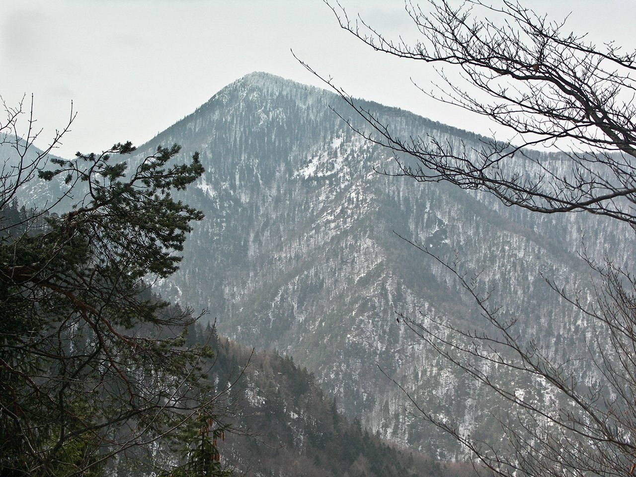
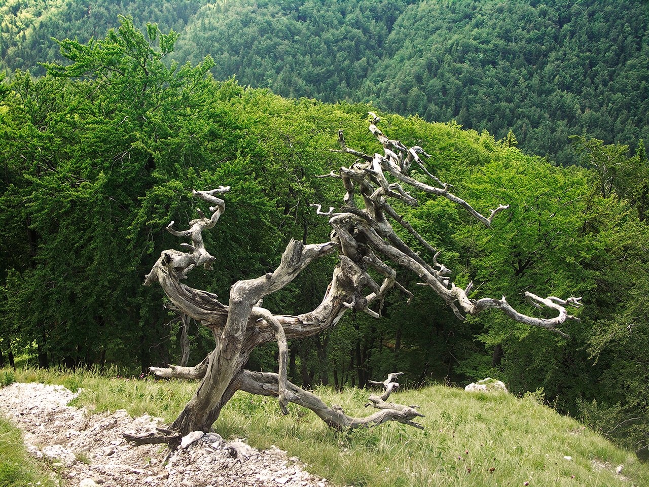
Drienok (formerly Drieňok) is a 1268 m limestone and dolomite summit in the south-western part of the Slovak Veľká Fatra. It stands about 6 km east of the spa town of Turčianske Teplice, on the boundary of Martin and Turčianske Teplice districts in the Žilina Region, and reaches into the lands of Blatnica and Mošovce. The mountain has a typical pyramid shape: it rises steeply above the Turiec valley right at the edge of the range, so it is easy to recognise from any direction and visible from most of Upper Turiec.
Drienok lies in the rockiest part of the mountains, the Bralná ("Rocky") Fatra. It is the highest point of the ridge that runs south-east from Blatnica and forms the southern edge of the Blatnická dolina. The ridge leaves the main ridge of the Veľká Fatra at Krížna and runs via Kráľova skala (1377 m), Smrekov (1441 m) and Veľký Rakytov before dropping to the shallow Sedlo za Drienkom saddle (1003 m) just below Drienok. Its northern neighbours are Ostrá (1263 m) and Chládkové úplazy (1228 m), to the east lies Haľamova kopa (1344 m) and to the south-east Veľký (1142 m) and Malý Rakytov (1194 m). The northern slopes drain to the Blatnický stream, the southern ones via the Rakša stream to the Turiec river.
How to get there / routes
A blue trail – a short spur from the saddle below Drienok – leads to the summit. Marked paths reach the saddle from several villages:
- from Rakša, below the southern side of the mountain on the Rakša stream;
- from Mošovce;
- from Čremošné;
- from Blatnica, at the mouth of the Blatnická dolina.
The sources give no official walking times, so check a Veľká Fatra hiking map before you set off.
What you can see from the top
The partly rocky summit with small mountain meadows offers excellent views from its open spots. A small platform on the summit rock gives a long view west over the upper Turiec basin and the Turiec slopes of the Veľká Fatra. You can see much of the Veľká Fatra and, to the south, the Kremnica Mountains, then the Žiar range, Vtáčnik, the Strážov Mountains and the Malá Fatra; in good visibility even Kubínska hoľa, Veľký Choč and Poľana.
Nature and history
The mountain is built mostly of limestone, partly of Middle Triassic dolomite. Its steep, deeply dissected slopes are studded with rock towers, walls and crests, with deep gullies and scree cones between them. The massif is almost entirely forested: beech woods dominate, with spruce, fir, rowan and sycamore maple mixed in. The undergrowth includes mezereon and the very rare Fatra cyclamen, a local endemic of these mountains. On the summit rocks and screes lime-loving grassland survives, with warmth-loving and mountain species such as dwarf sedge, pale fescue, moor grass and narrow-leaved inula.
Just below the summit stands a well-known dead, dry tree that has become a kind of emblem of the mountain. Drienok lies within the Veľká Fatra National Park.
Safety, season and rules
The slopes are steep and rocky, so stay on the path, especially in wet weather and in winter, when the limestone is slippery. The summit platform is small – take care near the drops. In the national park keep to marked trails and do not pick plants. In the Slovak mountains help comes from the Mountain Rescue Service HZS: 18 300 (+421 18 300) or 112.
Interesting facts
- Since 2007 the official spelling has been Drienok instead of the older Drieňok.
- The height of the mountain used to be given as 1273 m.
Photos: Caroig, CC BY-SA 3.0; Jerzy Opioła, CC BY-SA 4.0; Jerzy Opioła, CC BY-SA 4.0; Caroig, CC BY-SA 3.0; Caroig, CC BY-SA 3.0; Caroig, CC BY-SA 3.0 — Wikimedia Commons.
Getting there from Ukraine
Border crossings
- Uzhhorod – Vyšné Nemecké — road, 24/7
- Malyi Bereznyi – Ubľa — road, 24/7 For cars and buses; pedestrians not confirmed by the Ukrainian border service, lorries up to 3.5 t.
- Mali Selmentsi – Veľké Slemence (pedestrian) — pedestrian, 09:00–21:00 Kyiv time Pedestrians and cyclists only; inconvenient for the Tatras without onward transport.
- Chop – Čierna nad Tisou (rail) — rail, 24/7
By car
From Uzhhorod ≈275 km, ≈3 h 35 min without queues: Uzhhorod – Vyšné Nemecké → I/19 to Košice → D1 motorway via Prešov, Poprad and Liptovský Mikuláš to Ružomberok (≈270 km, ≈3 h 25 min from the border). From Lviv it is faster through Poland: M-10 → Krakovets – Korczowa → A4 to Kraków → S7/DK7 to the Chyżne – Trstená border → R3 and I/59 via Dolný Kubín to Ružomberok: ≈482 km, ≈6 h 15 min (via Uzhok and Ubľa ≈500 km, ≈7 h 30 min). The D1 requires an e-vignette (eznamka.sk).
Checked 23.10.2026; border crossing hours and timetables change — check before you travel.
Location on the map
Water and shelter nearby
- Spring below Drienok940 m · Not verified · 821 m
- Spring below Chládkové úplazy1.7 km · Not verified · 678 m
- Spring below Ostrá (south-west slope)2.7 km · Not verified · 613 m
- Spring below Rožková2.9 km · Not verified · 793 m
Comments
Trails nearby
All trails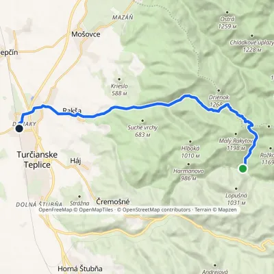 ModerateOne-dayMarkedDiviaky Ústie Veľkej SkalnejElevation profile481–1 116 m13.7 kmascent 402 m≈ 4 h walkingunder 1 km from Drienok
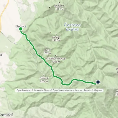 ModerateOne-dayMarkedBlatnica Kráľova studňa, spring (green trail)Elevation profile496–1 394 m13.6 kmascent 939 m≈ 5.5 h walking1.1 km from Drienok
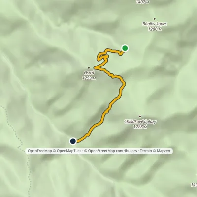 EasyOne-dayMarkedÚstie Juriašová Valley MuráňElevation profile664–1 249 m3.8 kmascent 190 m≈ 1.5 h walking1.7 km from Drienok
Nearby attractions
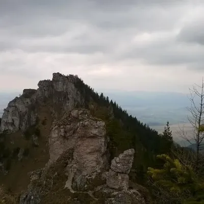 PeakOstráBlatnicaaltitude 1 259 m3.2 km from DrienokOstrá (Slovak for sharp) is one of the most striking and best-loved peaks of Slovakia’s Greater Fatra.
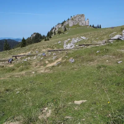 Mountain meadowKráľova studňa: meadow plateau and springs in Veľká FatraDolný Harmanecaltitude 1 365 m6.3 km from DrienokKráľova studňa (literally the «King's Well») is a broad grassy plateau on the main ridge of Veľká Fatra, at the western edge of the Krížna massif.
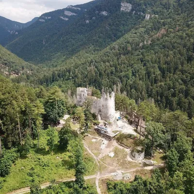 CastleBlatnica Castle and the Gader ValleyBlatnica6.4 km from DrienokBlatnica Castle (Blatnický hrad) is a medieval ruin on the low but sharp limestone ridge of Plešovica (658 m), which separates the Gader valley (Gaderská dolina) from...
Craft nearby
All craft places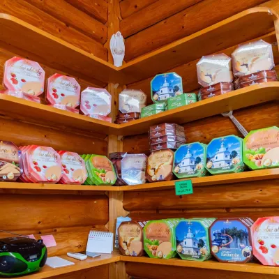 Cheese dairies & pasturesTuriec bryndza dairy, Turčianske Teplice: bryndza since 1917Turčianske Teplice8 km from DrienokMore than a hundred years of Turiec bryndza Turiec is a wide basin between the ridges of the Veľká and Malá Fatra, a land of pastures and old sheep farming.
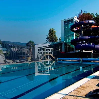 Water parks & thermal poolsSpa & Aquapark Turčianske TepliceTurčianske Teplice8.2 km from DrienokTurčianske Teplice is one of Slovakia’s oldest spa towns. Its warm springs were first mentioned in 1281 in a deed of gift by King Ladislaus IV, and from 1533 they...
 Craft producersKremnica gingerbread: the Haurík family bakery since 1922Kremnica21 km from DrienokKremnica is an old mining town in the Kremnica Mountains where coins have been struck for more than six centuries.
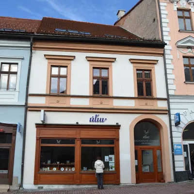 Craft shopsÚĽUV Banská Bystrica: folk-craft shop and craft schoolBanská Bystrica22 km from DrienokÚĽUV (Ústredie ľudovej umeleckej výroby, the Centre for Folk Art Production) is a state institution that has looked after Slovak folk crafts since 1945: it keeps a...
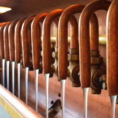 Craft beer & breweriesUrpiner brewery in Banská Bystrica: tour and beer from the tankBanská Bystrica24 km from DrienokBanská Bystrica is the centre of Central Slovakia and grew rich on copper mining in the 14th–16th centuries.
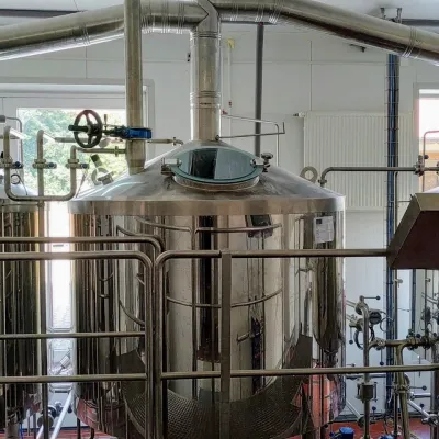 Craft beer & breweriesGalgenberg brewery in Nitrianske Pravno: tour and beer from the tankNitrianske Pravno24 km from DrienokNitrianske Pravno is a large village at the northern end of the Upper Nitra basin, 12 km from Prievidza, where the river Nitra leaves the Malá Magura and Žiar hills.
