Martin District
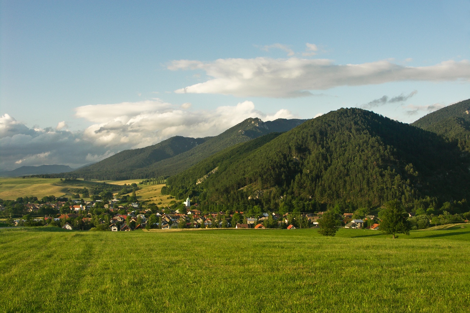
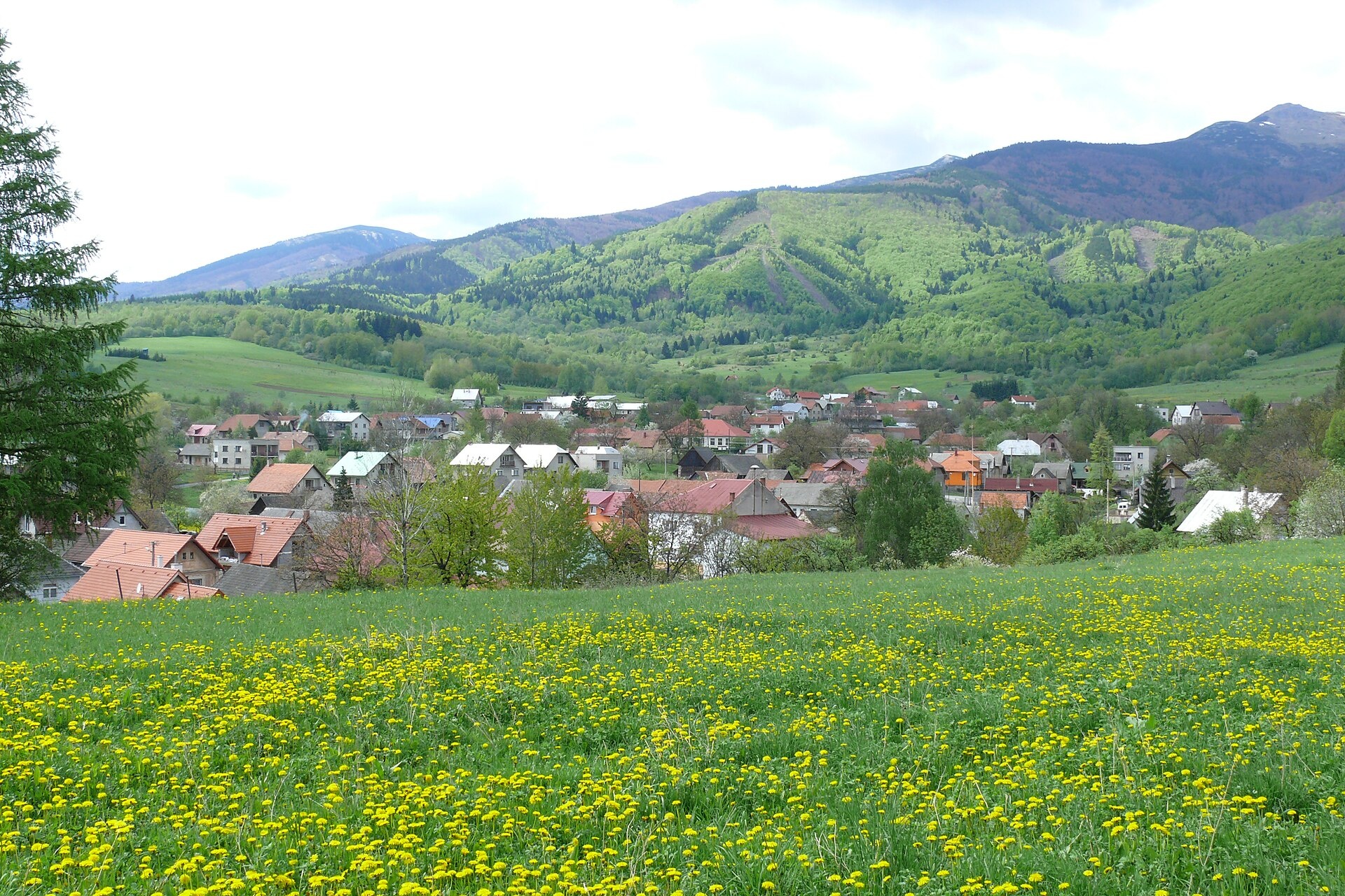
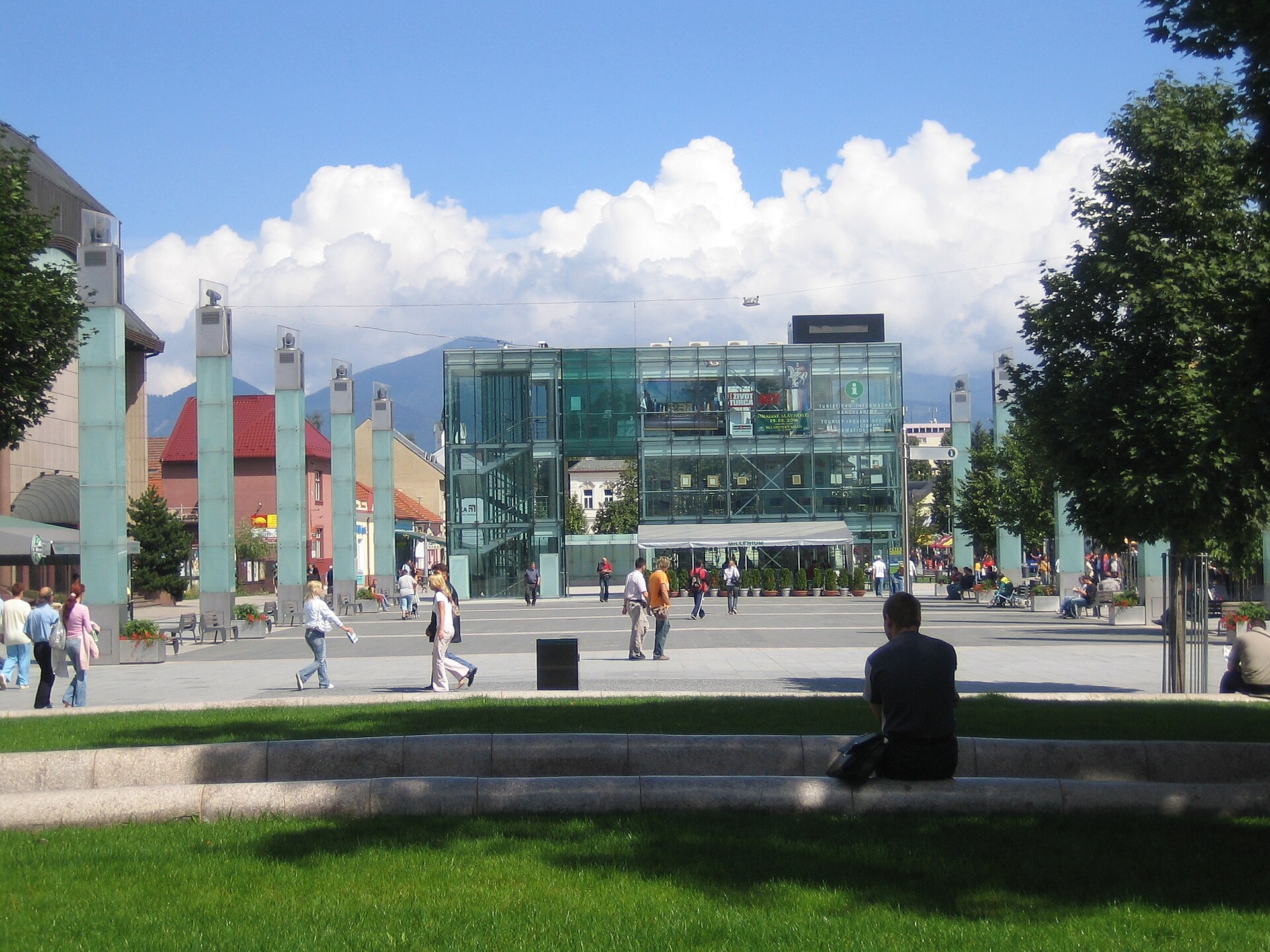
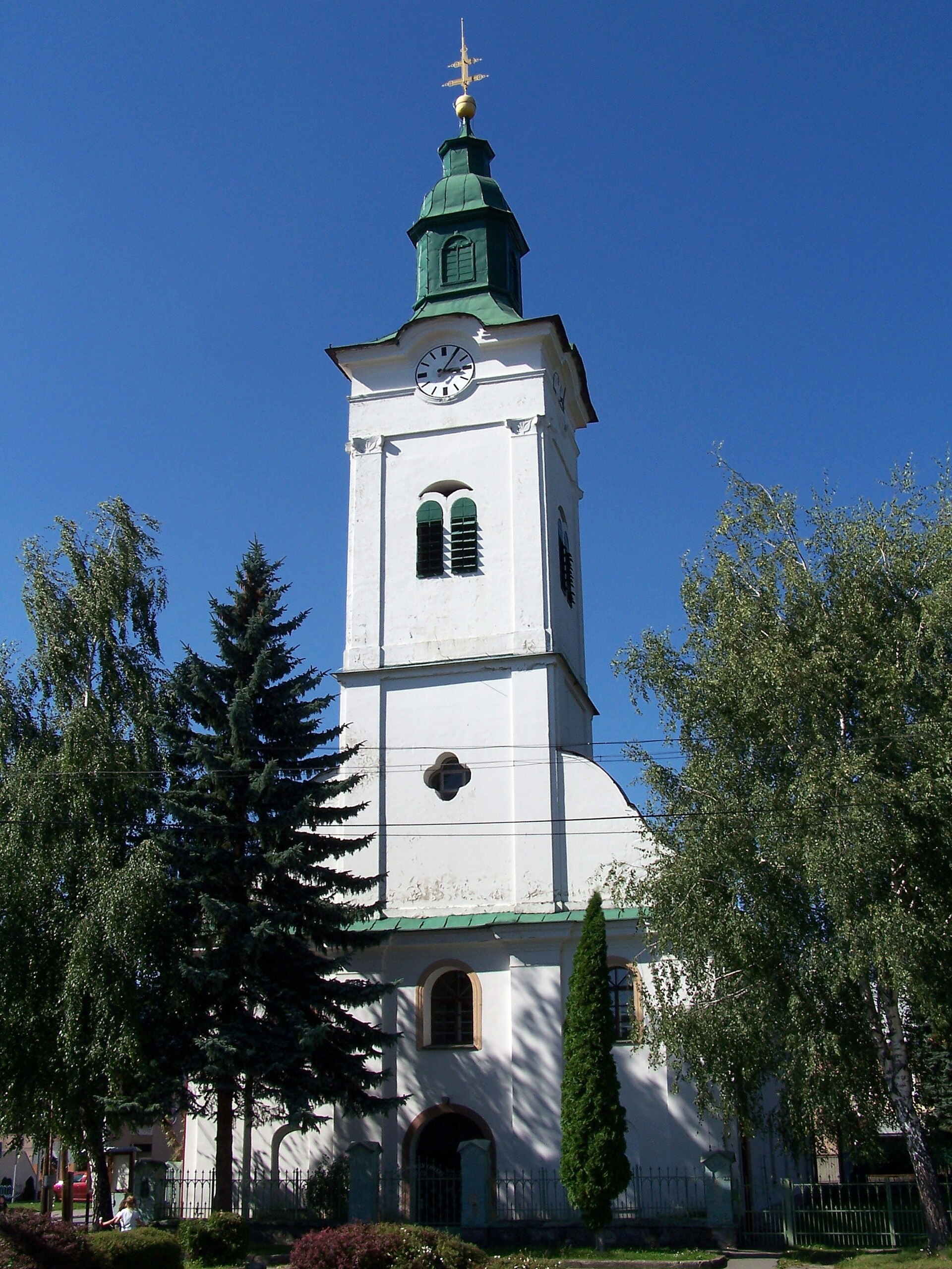
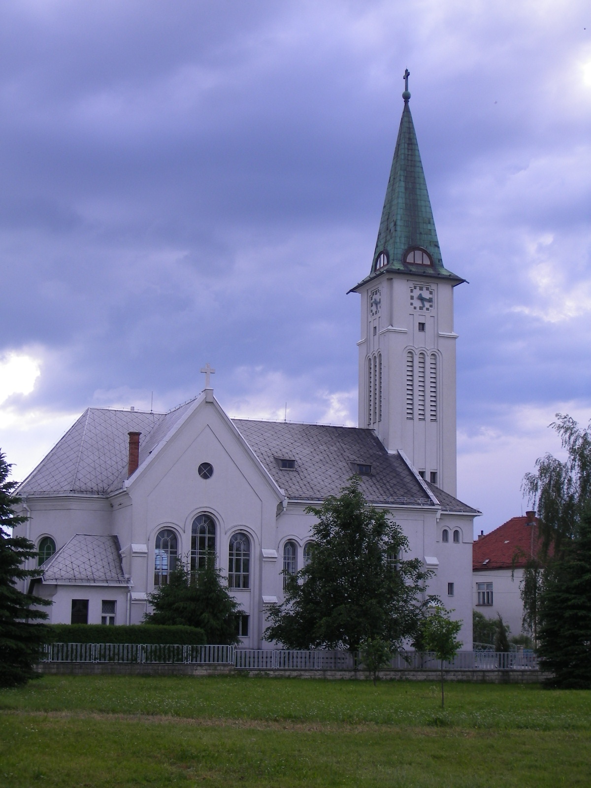
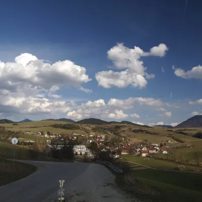
Photos: Blatnica (Caroig, CC BY-SA 3.0); Šútovo (Oto Zapletal, CC BY 3.0); Martin (Francesco Brisa, CC BY-SA 3.0); Sučany (User:Darwinek, CC BY-SA 3.0); Turany (Szeder László, CC BY-SA 4.0)
Martin District is an administrative district in the Žilina region of central Slovakia. Its administrative centre is the city of Martin, historically part of the Turiec region. The district is located in the lowlands of the Turiec river and the foothills of the Western Carpathians, mainly covering the Turčianska Basin. The current administrative structure was established in the mid-20th century and includes two towns—Martin and Vrútky—and 41 villages.
The area is known for its scenic mountain ranges: Krivánska Fatra, Lučanská Fatra, Valčianske and Diviacke Hills, Kľak, and the Martin Foothills. The Pivovarský and Podhájský streams, as well as the Turiec river, flow through the region. Martin District attracts visitors with its natural landscapes, numerous peaks, and ethnographic sites.
The site features objects in Martin, Blatnica, Bystrička, Šútovo, Vrícko, Turany, Bela-Dulice, Krpeľany, Podhradie, Turčianske Kľačany, Sučany, and Sklabinský Podzámok. Travellers can explore over 50 trails, including "Turie – Minčol" and "Blatnica – Kráľova studňa", as well as peaks such as Ostrá, Veľký Kriváň, Drieňok, and Malý Kriváň. Notable sights include Blatnica Castle and Gaderská Valley, the Museum of the Slovak Village, Šútovo Waterfall, and the Bare Ridges of Malá Fatra.
Getting there from Ukraine
From Uzhhorod to Žilina is about 330 km (approx. 4 h 20 min without queues): Uzhhorod – Vyšné Nemecké → I/19 to Košice → D1 via Prešov, Poprad, Liptovský Mikuláš and Ružomberok (≈17 km on I/18 between D1 sections) → Žilina. To Terchová ≈314 km (≈4 h 15 min): from the D1 onto I/70 and II/583. From Lviv via Poland: M-10 → Krakovets – Korczowa → A4 to Kraków → S7/DK7 to Chyżne – Trstená → R3, I/59 to Dolný Kubín → II/583 via Terchová to Žilina: to Terchová ≈493 km (≈6 h 30 min), to Žilina ≈518 km (≈7 h). Via the tolled A4 Kraków – Katowice, S1 and D3: ≈533 km, ≈6 h 35 min. The D1 requires an e-vignette (eznamka.sk).
Sources: Wikipedia, Wikidata, OpenStreetMap, Karpaty.rocks data.
Towns and villages
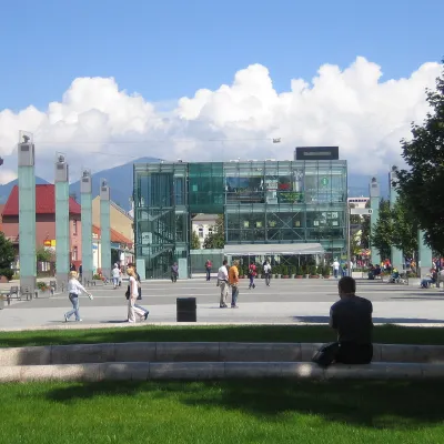 Martin8 trails, 2 sights, 2 mountain huts and shelters
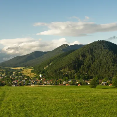 Blatnica6 trails, 3 peaks, 1 sight
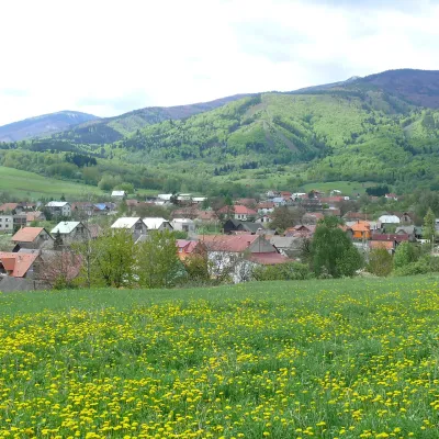 Šútovo2 trails, 1 peak, 2 sights
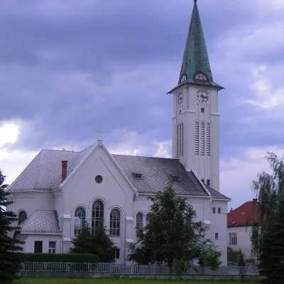 Turany4 trails, 1 peak
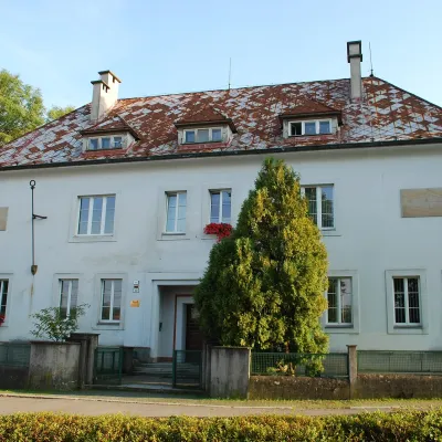 Bystrička5 trails
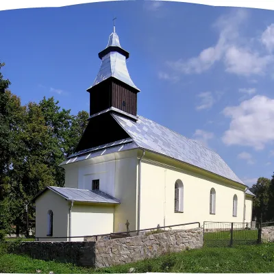 Vrícko5 trails
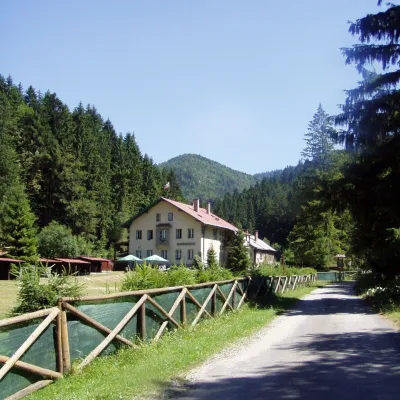 Belá-Dulice3 trails, 1 mountain hut or shelter
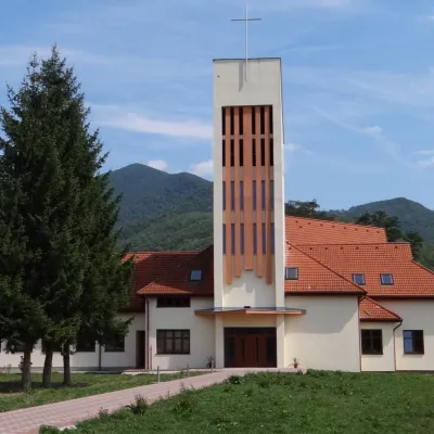 Krpeľany4 trails
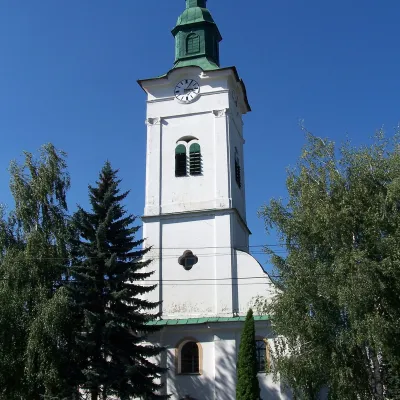 Sučany2 trails, 1 peak
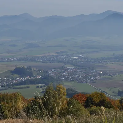 Valča3 trails
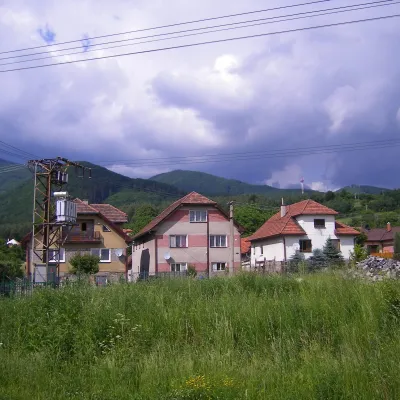 Turčianske Kľačany2 trails, 1 mountain hut or shelter
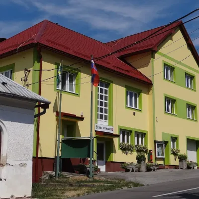 Podhradie3 trails
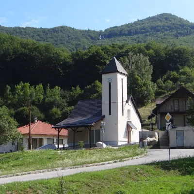 Sklabinský Podzámok3 trails
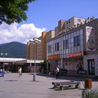 Vrútky2 trails
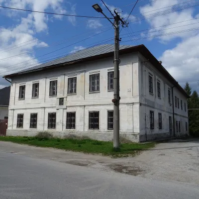 Kláštor pod Znievom2 trails
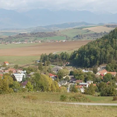 Necpaly2 trails
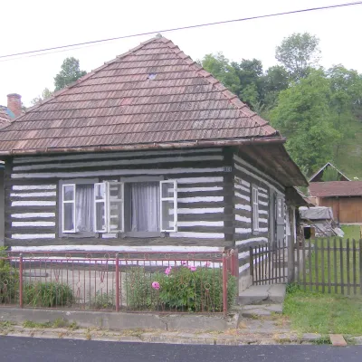 Sklabiňa2 trailsTrebostovo2 trails
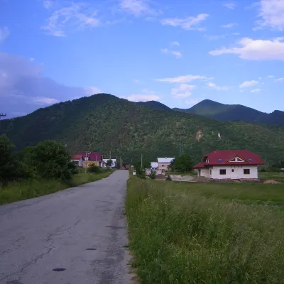 Ratkovo2 trails
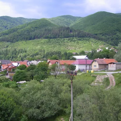 Lipovec1 trail
 Turčianske Jaseno1 trail
Getting there from Ukraine
Border crossings
- Uzhhorod – Vyšné Nemecké — road, 24/7
- Malyi Bereznyi – Ubľa — road, 24/7 For cars and buses; pedestrians not confirmed by the Ukrainian border service, lorries up to 3.5 t.
- Mali Selmentsi – Veľké Slemence (pedestrian) — pedestrian, 09:00–21:00 Kyiv time Pedestrians and cyclists only; inconvenient for the Tatras without onward transport.
- Chop – Čierna nad Tisou (rail) — rail, 24/7
By car
From Uzhhorod to Žilina ≈330 km, ≈4 h 20 min without queues: Uzhhorod – Vyšné Nemecké → I/19 to Košice → D1 via Prešov, Poprad, Liptovský Mikuláš and Ružomberok (≈17 km on I/18 between D1 sections) → Žilina. To Terchová ≈314 km, ≈4 h 15 min: from the D1 onto I/70 and II/583. From Lviv through Poland: M-10 → Krakovets – Korczowa → A4 to Kraków → S7/DK7 to Chyżne – Trstená → R3, I/59 to Dolný Kubín → II/583 via Terchová to Žilina: to Terchová ≈493 km (≈6 h 30 min), to Žilina ≈518 km (≈7 h). Via the tolled A4 Kraków – Katowice, S1 and D3: ≈533 km, ≈6 h 35 min. The D1 requires an e-vignette (eznamka.sk).
Checked 23.10.2026; border crossing hours and timetables change — check before you travel.
